
Hiking Mount Nittany is a rite of passage for Penn Staters and a favored activity of visitors to the State College area.
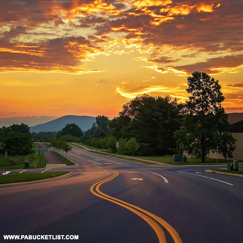
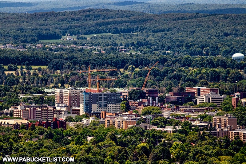
Looming large on the horizon of State College and the Penn State main campus, Mount Nittany is a symbol of pride in “Happy Valley”.
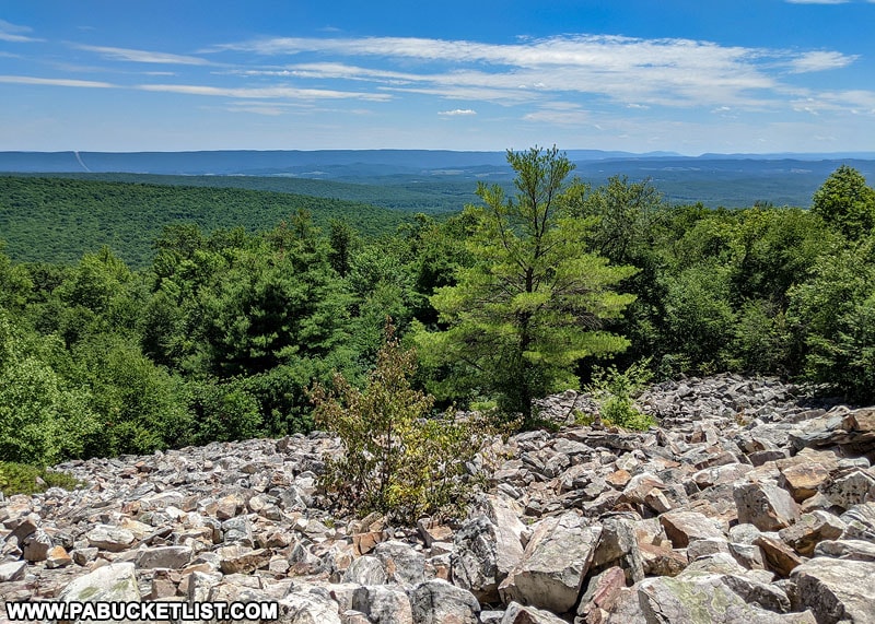
There are 7 named overlooks along the 8 miles of maintained trails on Mount Nittany, trails maintained by Mount Nittany Conservancy volunteers.
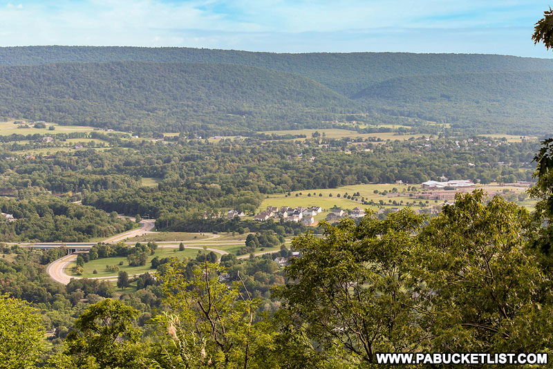
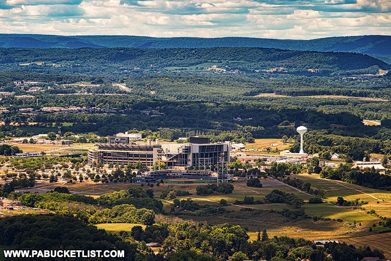
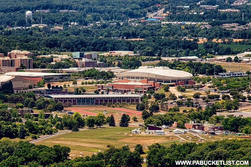
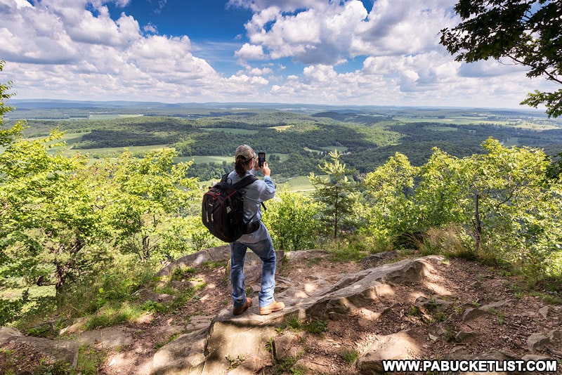
But by far the most popular overlook is the Mike Lynch Overlook, which offers up sweeping views of downtown State College, Beaver Stadium, and the Penn State campus.
In fact, when most people say they’re going to “hike Mount Nittany”, they really mean they are going to hike to the Mike Lynch Overlook on Mount Nittany.
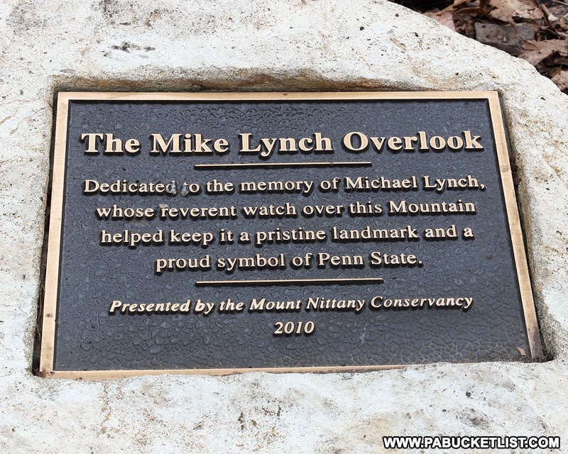
AKA the State College Overlook on Mount Nittany.
AKA the Penn State Overlook on Mount Nittany.
So the focus of this write-up will be on getting you safely to and from the Mike Lynch Overlook on Mount Nittany, whether you’re a Penn Stater or simply a nature lover who enjoys a good hike!
Hiking Mount Nittany FAQs
The Mount Nittany hike begins at the end of Mount Nittany Road in the village of Lemont.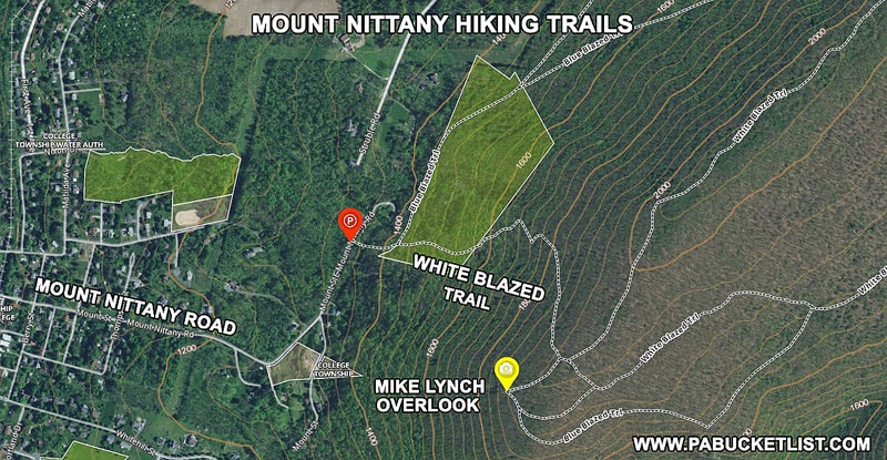
There is parking along Mount Nittany Road at the base of the mountain at GPS coordinates 40.81146, -77.80702.
There are also few residences along this stretch of Mount Nittany Road as well.
DO NOT BLOCK ANYONE’S DRIVEWAY!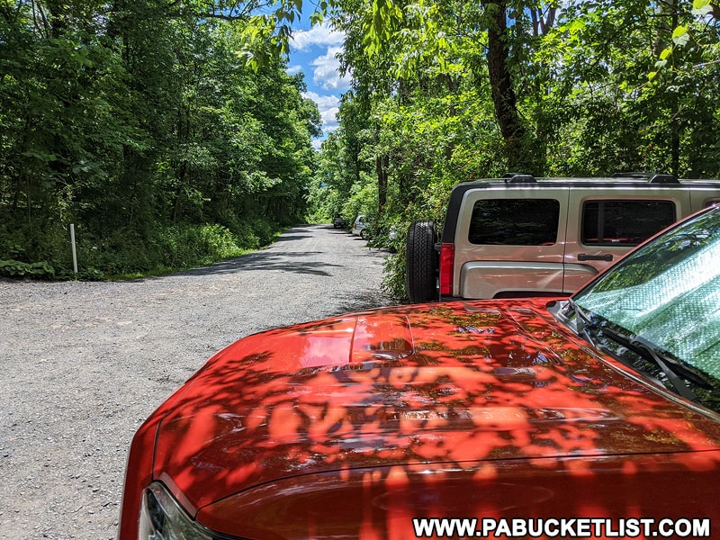
There is a porta potty near the Mount Nittany Trailhead and parking area.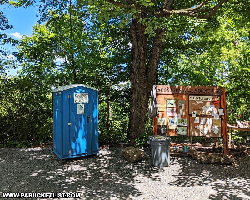
There are normally maps at the informational kiosk at the Mount Nittany Trailhead, or you can download one from the Mount Nittany Conservancy website.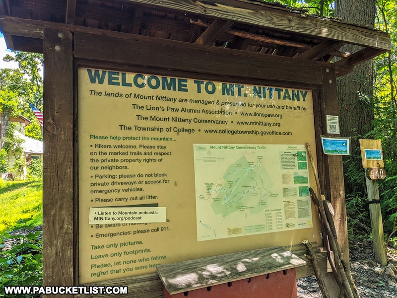
You will utilize the White Trail on your way up and down Mount Nittany.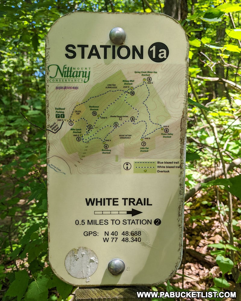
The hike from the parking area to the Mike Lynch Overlook entails approximately 600 feet of elevation gain over the course of 0.6 miles. Once on top, the reminder of the trails to the other 6 overlooks are relatively flat.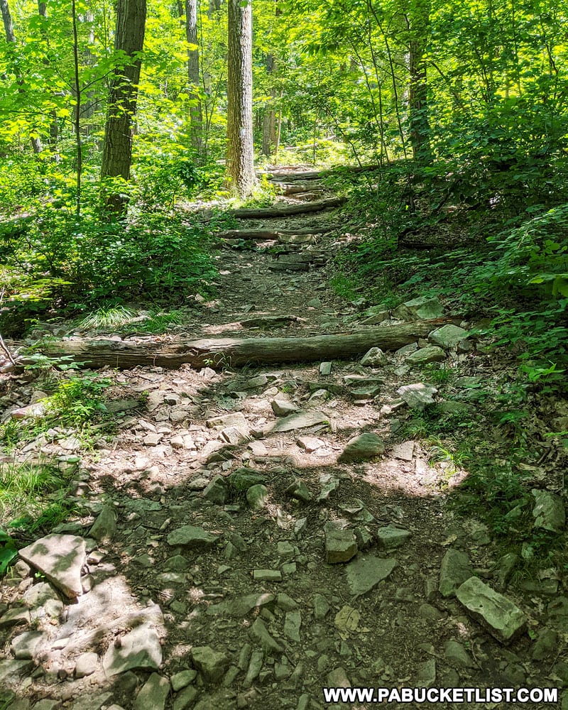
Yes – there are benches and logs along the trail.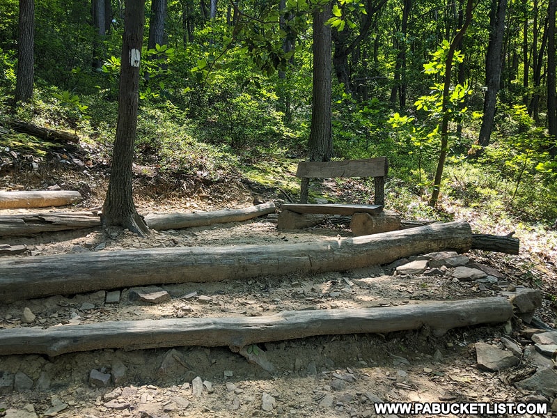
You can see the upper stands inside Beaver Stadium, not the playing field. So if you’re looking for a cheaper way to see a Penn State football game, this isn’t it!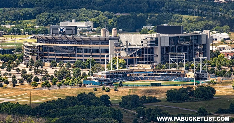
On a hot, summer afternoon you might have the place to yourself. On a weekend during the Penn State school year, expect lots of company!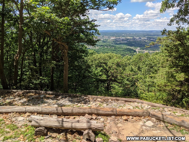
It was rebuilt a few years ago to add tiers for easier viewing and cut down on soil erosion.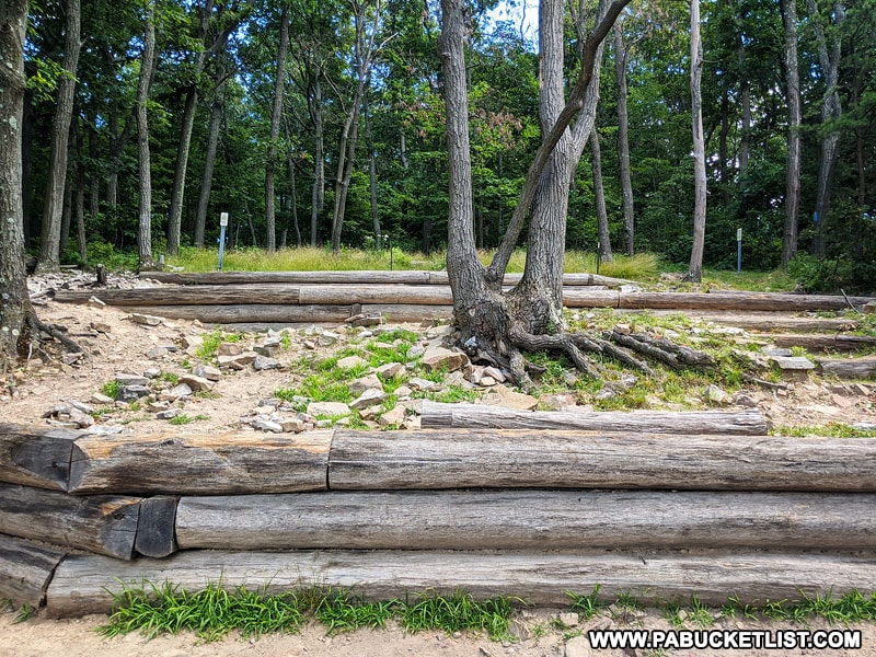
I prefer morning, as it’s typically less crowded.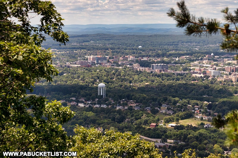
Yes!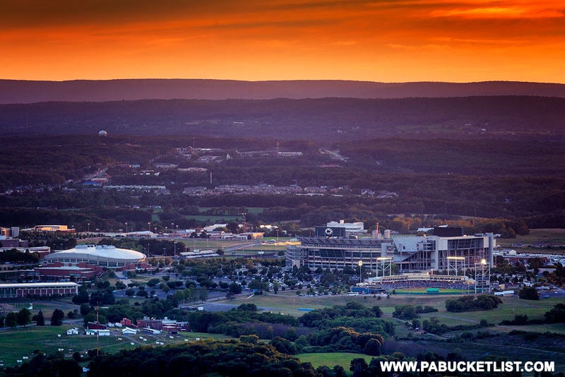
You have an excellent view of Mount Nittany Medical Center (complete with solar array) and some of Penn State’s research barns.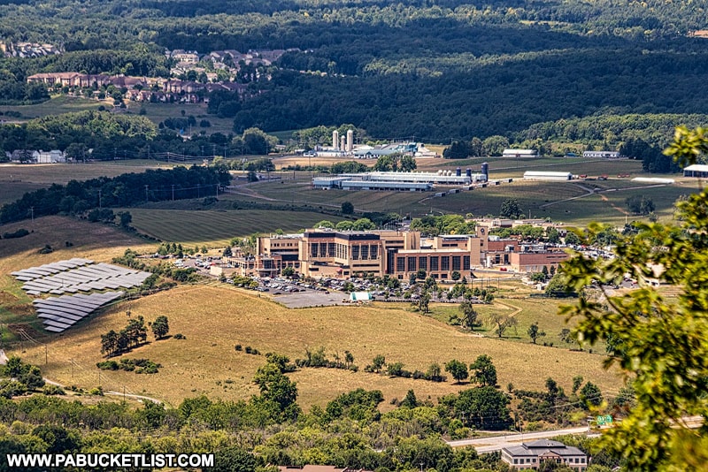
If you’re simply hiking to the Mike Lynch Overlook, expect the hike to take roughly 30 minutes each way, plus however much time you spend at the overlook itself.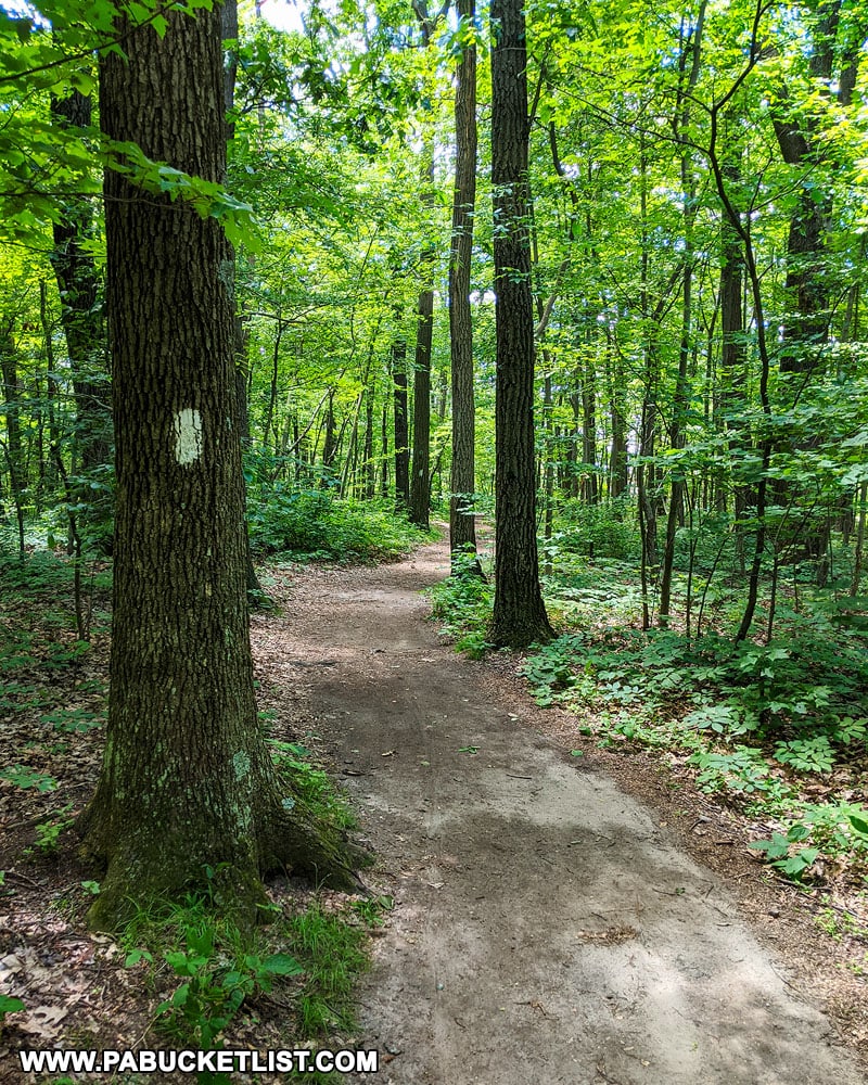
The peak of Mount Nittany is 2,077 feet above sea level, and 800 feet above the valley floor.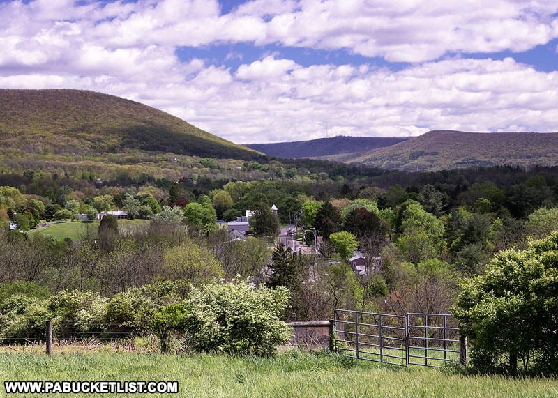
Nearby Attractions
Looking for even more scenic overlooks near Happy Valley?
Then be sure to check out “The 5 Best Scenic Overlooks Near State College”.
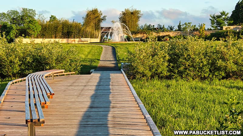
The Arboretum at Penn State is a fantastic collection of botanic gardens, fountains, ponds, walking trails, and pollinator habitats all located on the north end of the Penn State main campus in State College.
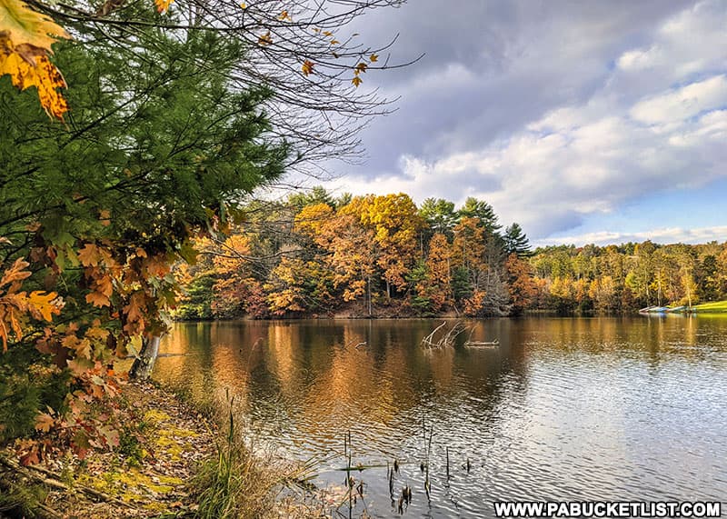
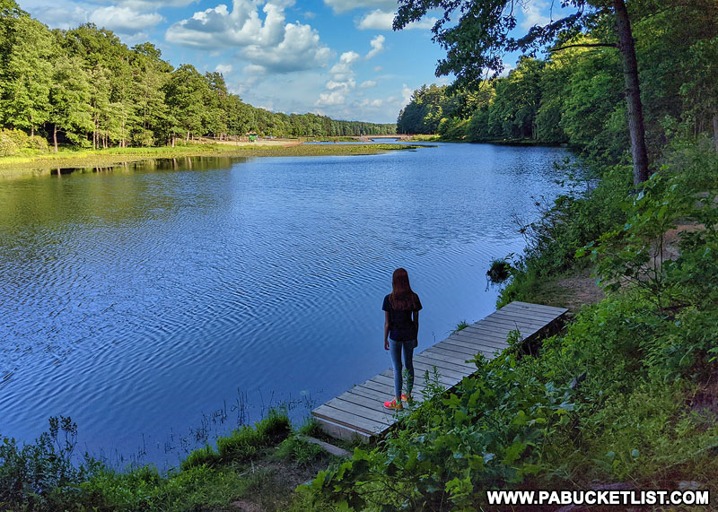
Hiking the Colyer Lake Trail Near State College shows you what to expect from this beautiful 2.6 mile lakeside-loop trail just minutes from downtown State College and Penn State.
Shaver’s Creek Environmental Center is a Penn State owned and operated wildlife center and aviary, located just 12 miles outside of State College in rural Huntingdon County.

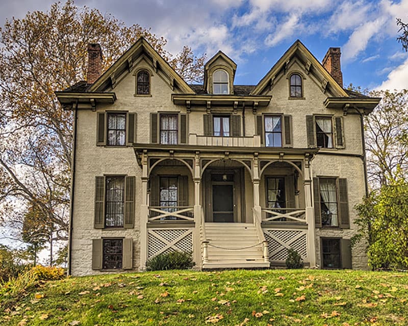
Centre Furnace Mansion is significant for both its industrial heritage and as the birthplace of Penn State.
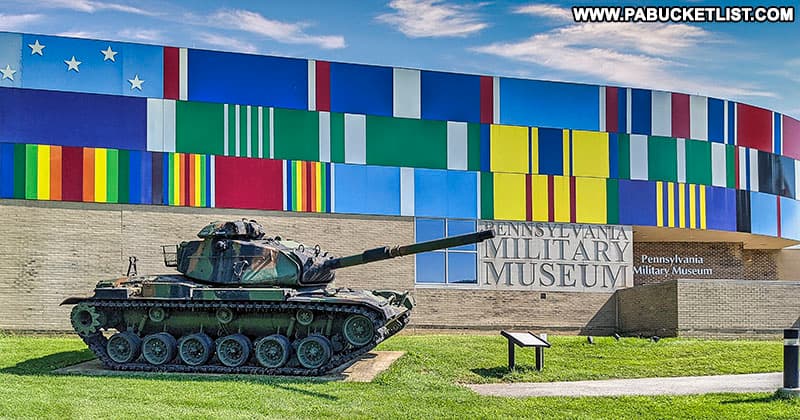
The Pennsylvania Military Museum in Centre County honors the service of Pennsylvanians in all branches of the military, from colonial times to the present day.
Indian Lookout, located 45 minutes south of State College, is another scenic vista in Central Pennsylvania.
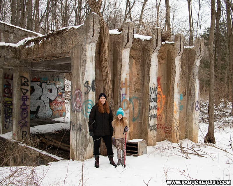
Exploring the Ghost Town of Scotia Near State College takes you inside the remains of a iron-mining boomtown gone bust.
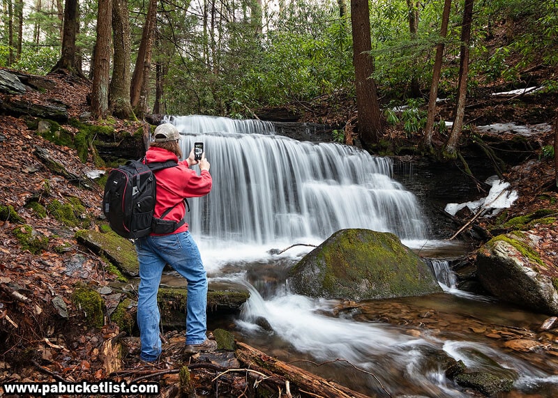
Yost Run Falls and it’s sister falls on Kyler Fork are approximately 45 minutes north of State College in the Sproul State Forest.
And don’t forget about “The 6 Best State Parks Near State College” as well!
Did you enjoy this article?
If so, be sure to like and follow PA Bucket List on Facebook, Instagram, and/or Pinterest to stay up-to-date on my latest write-ups about the best things to see and do in Pennsylvania.
Click on any of the icons below to get connected to PA Bucket List on social media!