The 14 Best Scenic Overlooks in the Laurel Highlands

A view of Deer Valley Lake from Camp Buckey Overlook in Somerset County.

If you’re looking for the best scenic overlooks in the Laurel Highlands of Western Pennsylvania, you’re in the right place!

The view from High Point Lake Overlook on Mount Davis
View from Mount Davis, the highest point in Pennsylvania.

From the top of Mount Davis, the highest point in Pennsylvania, to the deck of the man-made Salisbury Viaduct along the Great Allegheny Passage, here’s how to find the 14 best scenic overlooks in Somerset, Fayette, and Westmoreland counties.

The eastern horizon as viewed from the Salisbury Viaduct.
The eastern horizon as viewed from the Salisbury Viaduct in the Laurel Highlands.

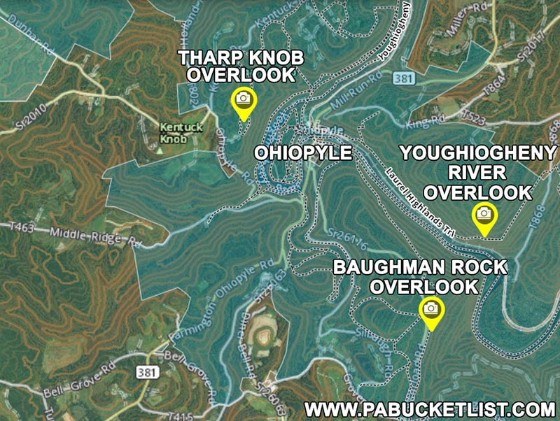
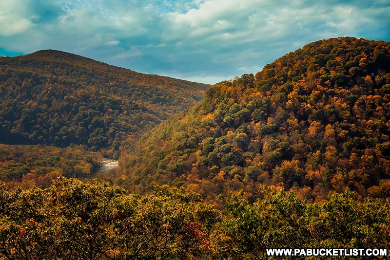
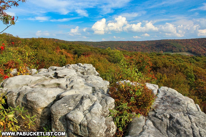
1. Baughman Rock Overlook

The author photographing an autumn sunrise at Baughman Rock Overlook.

Baughman Rock Overlook at Ohiopyle State Park is not only one of the best scenic overlooks in the Laurel Highlands, but it may be THE BEST spot to catch a stellar sunrise!

The author photographing a late winter sunrise at Baughman Rock Overlook.

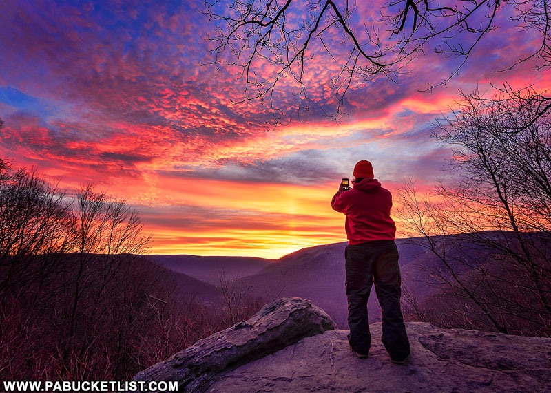
Located along Sugarloaf Road in Fayette County, Baughman Rock Overlook easy to get to, no matter what season you visit.

The author and daughter at Baughman Rock Overlook during Winterfest.

One of the best “Instagram spots” at Ohiopyle State Park, you can find directions to Baughman Rock Overlook HERE.


2. Tharp Knob Overlook

Tharp Knob Overlook at Ohiopyle State Park.

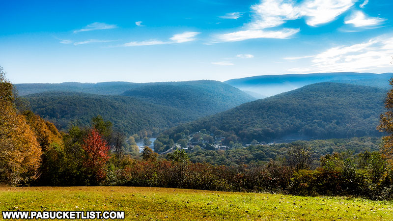
Tharp Knob Overlook, located approximately 1/4 mile from the Tharp Knob picnic area at Ohiopyle State Park, offers a panoramic view into the town of Ohiopyle itself.

How to find the best scenic overlooks at Ohiopyle State Park.
Map of the best scenic overlooks at Ohiopyle State Park.

You can navigate to the Tharp Knob picnic area / parking lot at GPS coordinates 39.87057, -79.50627.

Tharp Knob Overlook itself can be found at GPS coordinates 39.87221, -79.50510.


3. Youghiogheny River Overlook

The Youghiogheny River Overlook along the Laurel Highlands Hiking Trail.

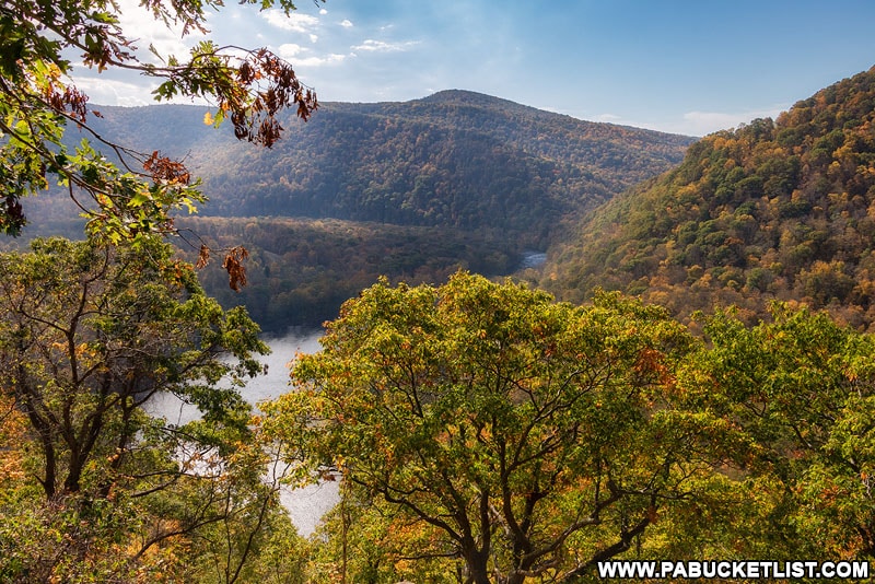
The Youghiogheny River Overlook is located along the Laurel Highlands Hiking Trail as it passes through Ohiopyle State Park.

The Youghiogheny River Overlook at Ohiopyle State Park.

An uphill hike approximately 1.77 miles from the LHHT trail head in Ohiopyle, you can find the Youghiogheny River Overlook at GPS coordinates 39.85707, -79.46388.


4. Laurel Run Overlook

October morning at Laurel Run Overlook in Fayette County, Pennsylvania.
The author at Laurel Run Overlook in Fayette County.

Laurel Run Overlook is located between mile markers 21 and 22 along the Laurel Highlands Hiking Trail in Fayette County.

Laurel Run Overlook facing west towards Fayette County.
The northern viewing area at Laurel Run Overlook.

There are two viewing areas at Laurel Run Overlook, separated by approximately 50 yards of forest and trail.


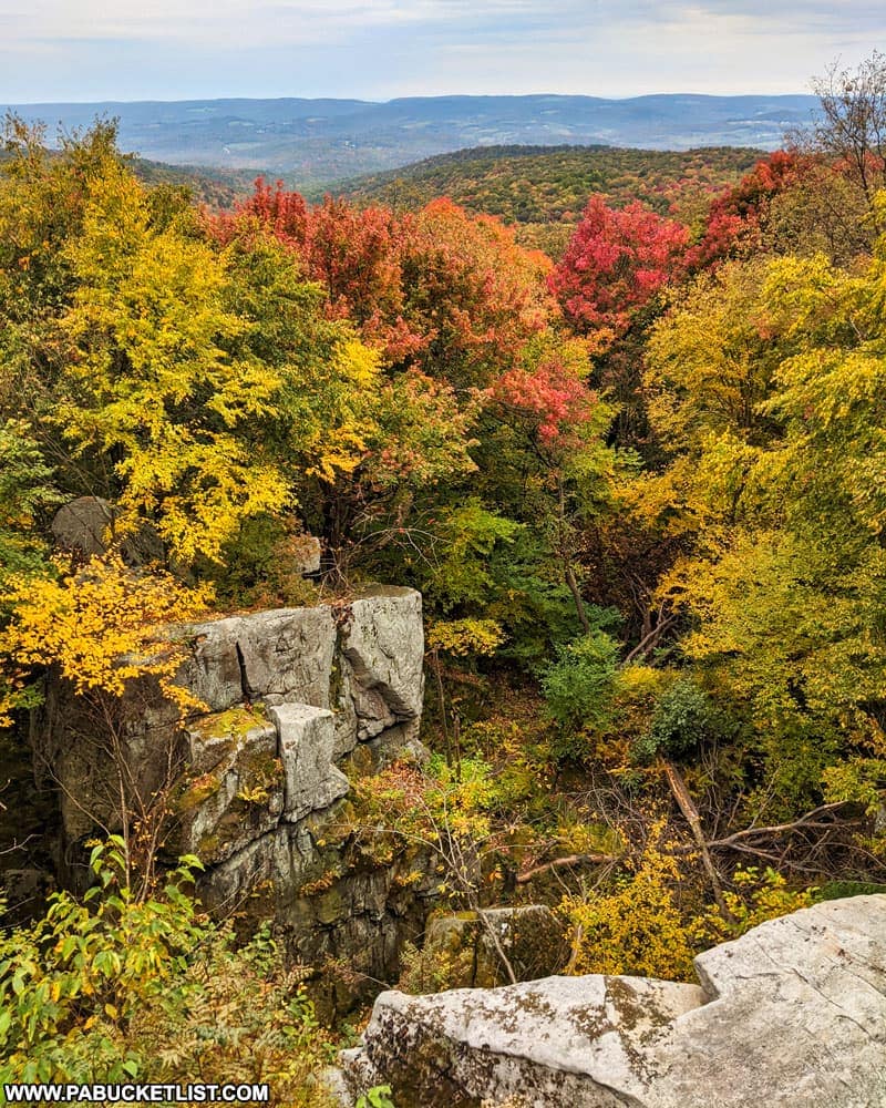
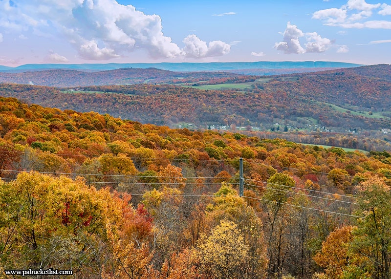
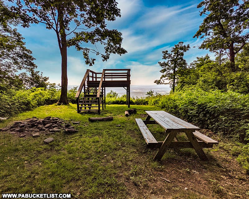
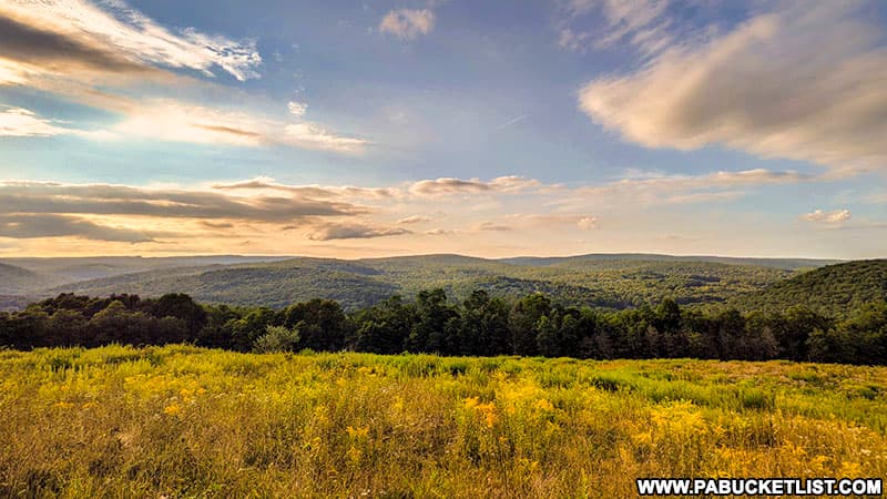
5. Beam Rocks Overlook

Fall foliage around Beam Rocks in the Laurel Highlands of Pennsylvania.

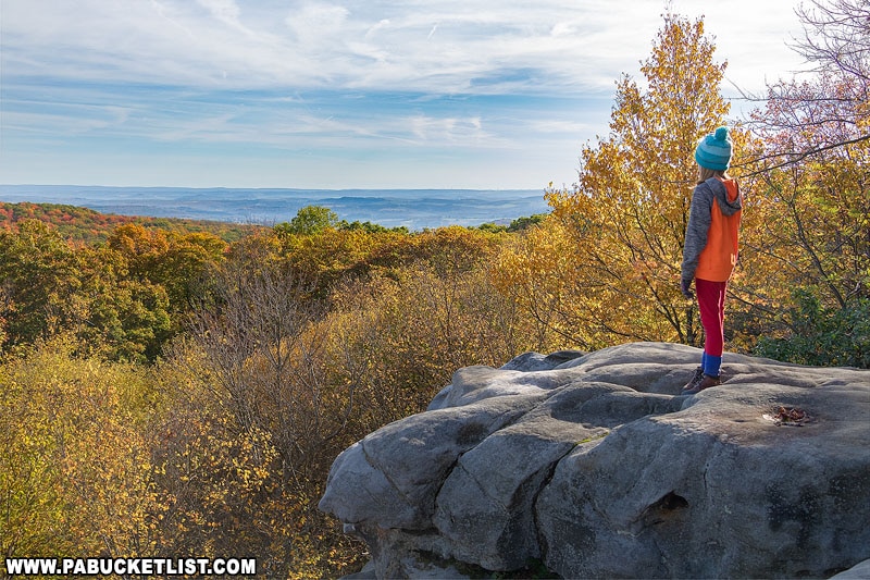
Beam Rocks Overlook in the Forbes State Forest, Somerset County, in one of the best spots to view the vibrant fall foliage the Laurel Highlands is famous for.

Relaxing at Beam Rocks in Somerset County.

Beam Rocks Overlook is located a half-mile from the Beam Rocks trail head along Laurel Summit Road, which you can navigate to at GPS coordinates 40.13467, -79.16372.

Beam Rocks Overlook in the Forbes State Forest.

You can read an in-depth article about Beam Rocks Overlook, complete with maps and more photos, HERE.


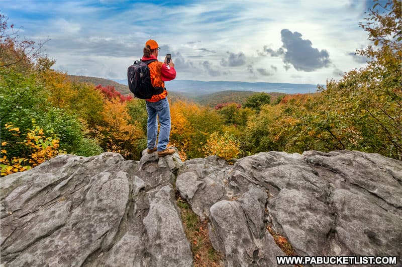
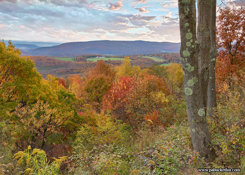
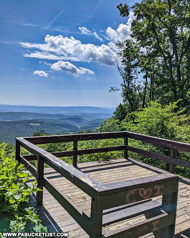
6. Wolf Rocks Overlook

Springtime at Wolf Rocks Overlook in the Forbes State Forest
Springtime at Wolf Rocks Overlook in the Forbes State Forest.

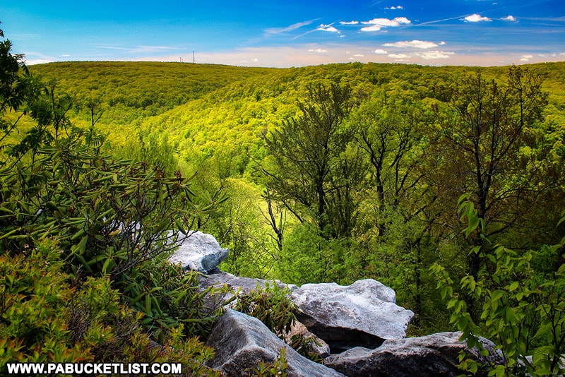
Wolf Rocks Overlook, also located in the Forbes State Forest, is located 2 miles from the Wolf Rocks trail head located off of Linn Run Road.

How to find the Wolf Rocks Trail Head near Somerset Pennsylvania.
How to find the Wolf Rocks Trail Head near Somerset, Pennsylvania.

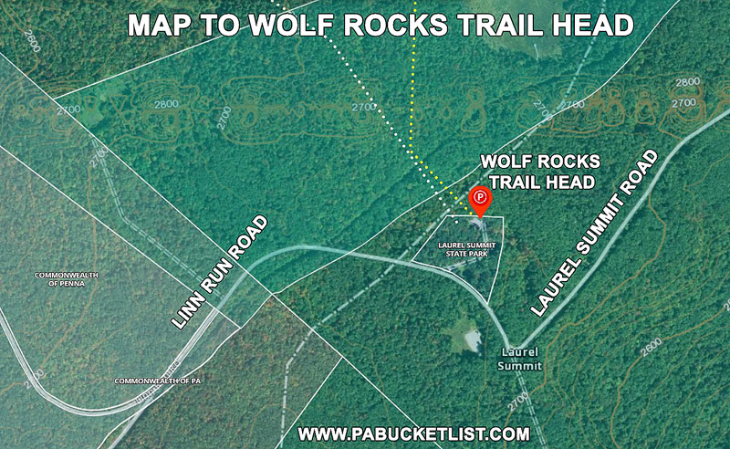
Another outstanding fall hike, Wolf Rocks Overlook offers a 180 degree view of Linn Run State Park and Westmoreland County.

Fall foliage at Wolf Rocks Overlook in Somerset County PA

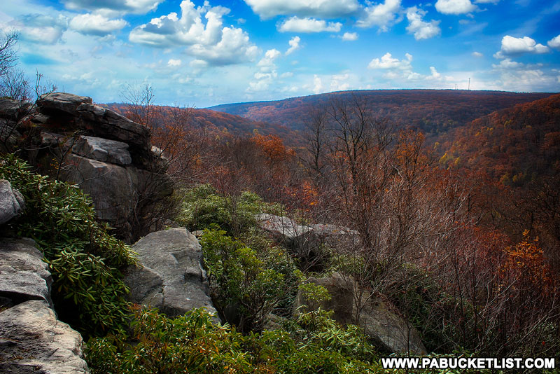
You can read a complete write-up on Wolf Rocks Overlook HERE.


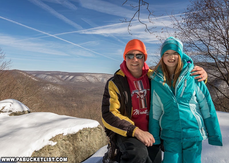
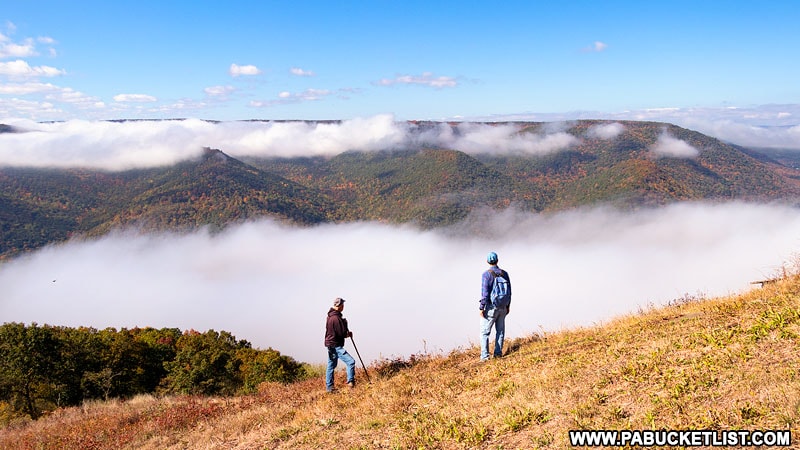
7. Mount Davis Overlook

Deer Valley Lake as viewed from Mount Davis Observation Tower in Somerset County PA
Mount Davis Overlook in Somerset County.

At 3,213 feet above sea level, Mount Davis is the highest point above sea level in Pennsylvania.

Geologic history of Mount Davis in Somerset County.

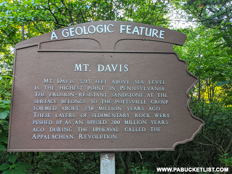
An observation tower, located just a few yards from a parking area on top of Mount Davis, offers 360 degree views of the surrounding lakes and forest.

The observation tower at Mount Davis in Somerset County.
The observation tower at Mount Davis.

You can navigate to the Mount Davis Observation Tower parking lot at 39.78587, -79.17672.

Windmills in the distance as viewed from Mount Davis Observation Tower in Somerset County PA
Windmills in the distance as viewed from Mount Davis Observation Tower

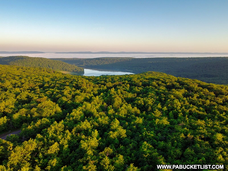
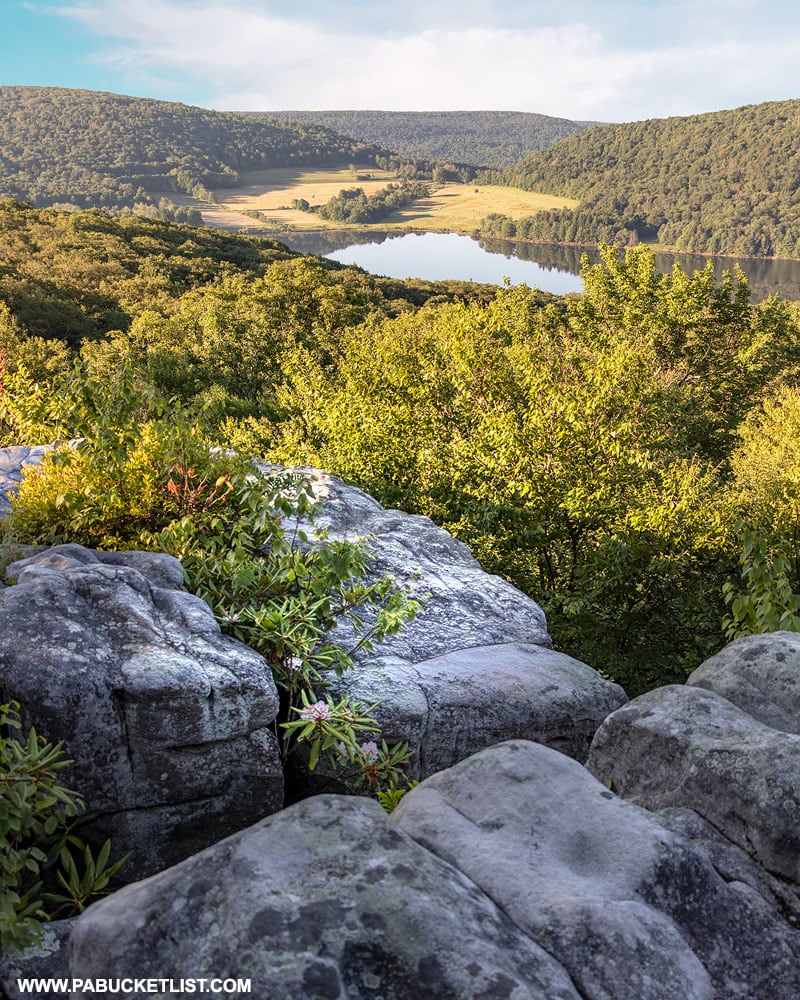
8. High Point Lake Overlook

The view of High Point Lake from the observation area along South Wolf Rock Road on Mount Davis.

Located just minutes from the Mount Davis Observation Tower, the High Point Lake Overlook combines a small picnic area with an outstanding view of High Point Lake at the base of Mount Davis.

High Point Lake Overlook along South Wolf Rock Road on Mount Davis.

You can navigate to the High Point Lake Overlook at GPS coordinates 39.78209, -79.18090.

The view from High Point Lake Overlook on Mount Davis
High Point Lake Overlook in Somerset County.

9. Camp Buckey Overlook

Camp Buckey Overlook on Mount Davis in the Laurel Highlands.

Camp Buckey Overlook is my favorite scenic vista on Mount Davis.

How to find the nest scenic overlooks on Mount Davis in Somerset County Pennsylvania
Map of the best overlooks on Mount Davis in Somerset County.

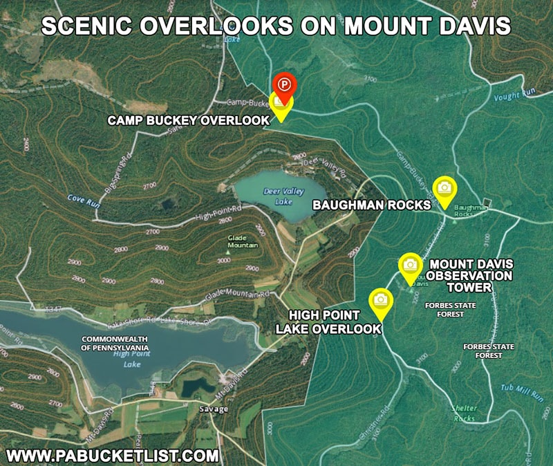
A 220 yard hike from a parking area along Camp Buckey Road brings you to this stunning lookout over Deer Valley Lake below.

The view from Camp Buckey Overlook in October.

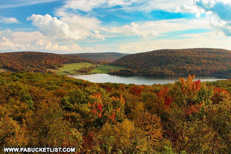
You can navigate to the Camp Buckey Overlook parking area in the Forbes State Forest at GPS coordinates 39.80546, -79.19452.

Fall foliage surrounding Camp Buckey Overlook in Somerset County PA

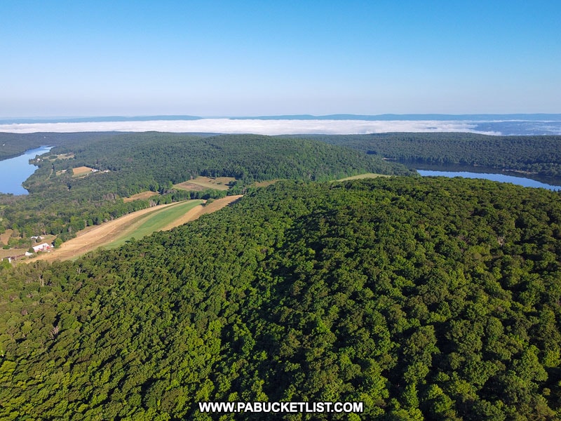
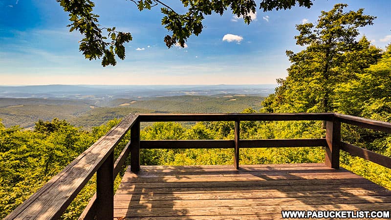
10. Big Savage Overlook

The Big Savage Tunnel Overlook along the Great Allegheny Passage.
The Big Savage Overlook along the Great Allegheny Passage.

The Big Savage Overlook is located near the southern end of the Big Savage Tunnel along the Great Allegheny Passage.

A man on a recumbent bicycle prepares to travel the 3,294 foot Big Savage Tunnel along the Great Allegheny Passage.

Another outstanding spot to view fall foliage in the Laurel Highlands, you can read a complete write-up on the Big Savage Tunnel and Overlook HERE.

Spectacular views from the Great Allegheny Passage, just south of the Big Savage Tunnel.
Spectacular views of fall foliage from the Big Savage Overlook along the Great Allegheny Passage.

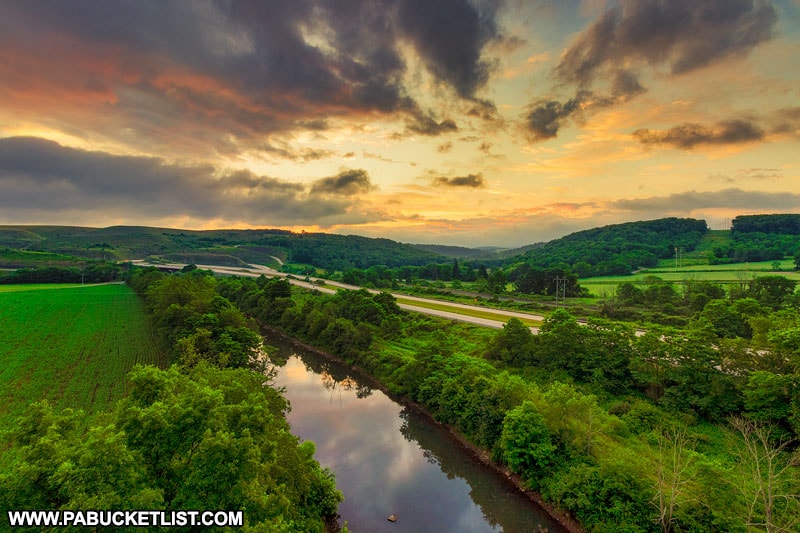
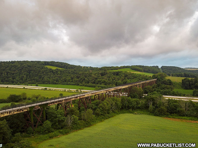
11. Salisbury Viaduct Overlook

Summer sunrise over the Casselman River and the Salisbury Viaduct

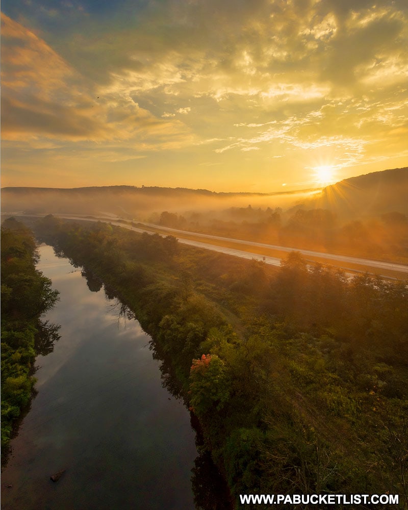
The Salisbury Viaduct is a man-made overlook in Somerset County that offers amazing sunrise AND sunset vistas.

An epic sunset over the Salisbury Viaduct along the Great Allegheny Passage.

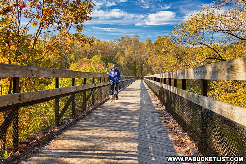
This 101 foot-tall railroad bridge turned bike path is part of the Great Allegheny Passage.

The Salisbury Viaduct disappears into the Pennsylvania foothills near Meyersdale.

You can navigate to a parking area next to the Salisbury Viaduct at GPS coordinates 39.83133, -79.03996.

The Casselman River flowing beneath the Salisbury Viaduct.

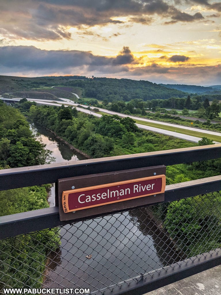
A complete write-up on the Salisbury Viaduct can be found HERE.


12. County Line Vista

As the name implies, County Line Vista is located on the eastern edge of the Laurel Highlands, along the Somerset-Bedford county line.

How to find County Line Vista in the Gallitzin State Forest.
County Line Vista on the Somerset-Bedford county line.

Located along the County Line Trail in the Gallitzin State Forest, County Line Vista is located at the end of a relatively flat 1/2 mile trail.

Approaching the viewing platform at County Line Vista in the Gallitzin State Forest.

13. Skyline Drive Vista

Skyline Drive Vista is a beautiful roadside overlook located just minutes from the County Line Vista parking area.

How to find the roadside Skyline Drive Vista in the Gallitzin State Forest.
Skyline Drive Vista, roadside in the Gallitzin State Forest.

With sweeping views of Blair and Bedford counties, Skyline Drive Vista is one of the easternmost overlooks in the Laurel Highlands.

The overlook platform at Skyline Drive Vista in the PA Laurel Highlands.

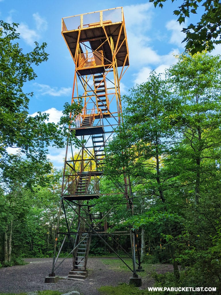
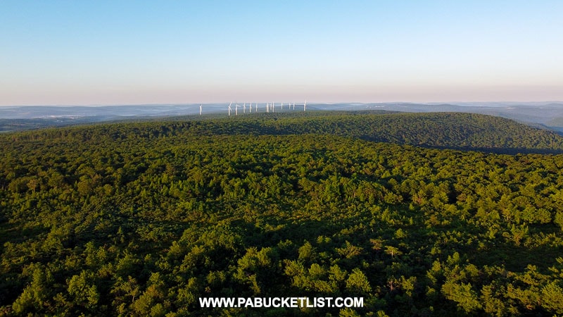
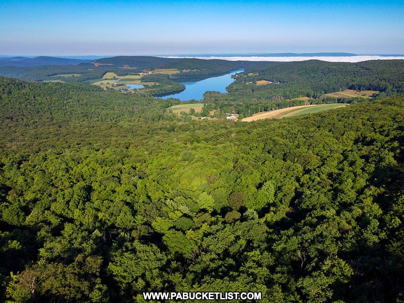
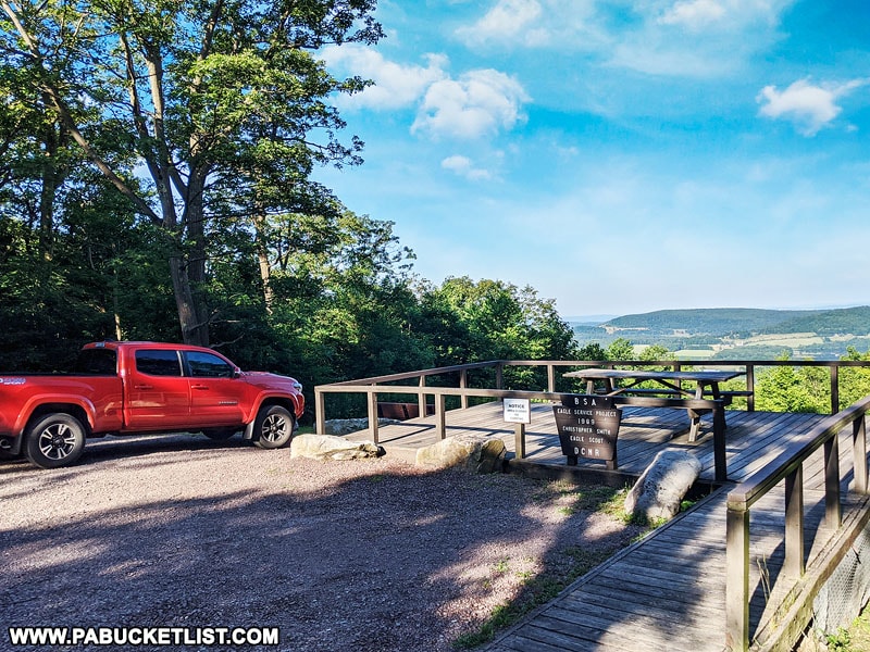
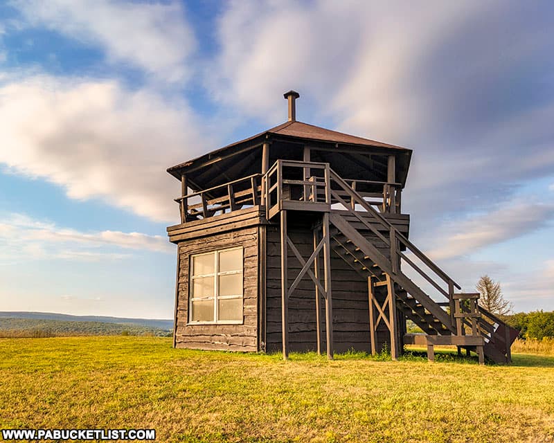
14. Scenic Overlook Tower at Laurel Hill State Park

The scenic overlook tower at Laurel Hill State Park offers visitors stunning 360-degree views of the Pennsylvania Laurel Highlands!

Northwestern view from the Laurel HIll State Park observation tower.

Originally built by a private party, this overlook tower and the surrounding 184 acres became part of Laurel Hill State Park in 2016.

The scenic overlook tower at Laurel hill State Park in the PA Laurel Highlands.
The scenic overlook tower at Laurel Hill State Park, formerly the privately-owned Penn Scenic View.

If scenic overlooks are your passion, be sure to check out 77 of the Best Scenic Overlooks in PA for directions to the finest views in all of Pennsylvania!

Hikers taking on the view at Hyner Run State Park.

Nearby Attractions

7 Man-Made Wonders of the PA Laurel Highlands is your guide to the 7 most iconic structures in the region.

Jumonville Cross in Fayette County is the tallest cross in Pennsylvania
The Jumonville Cross in Fayette County is the tallest cross in Pennsylvania.

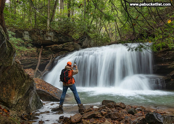
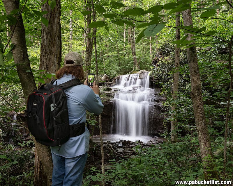
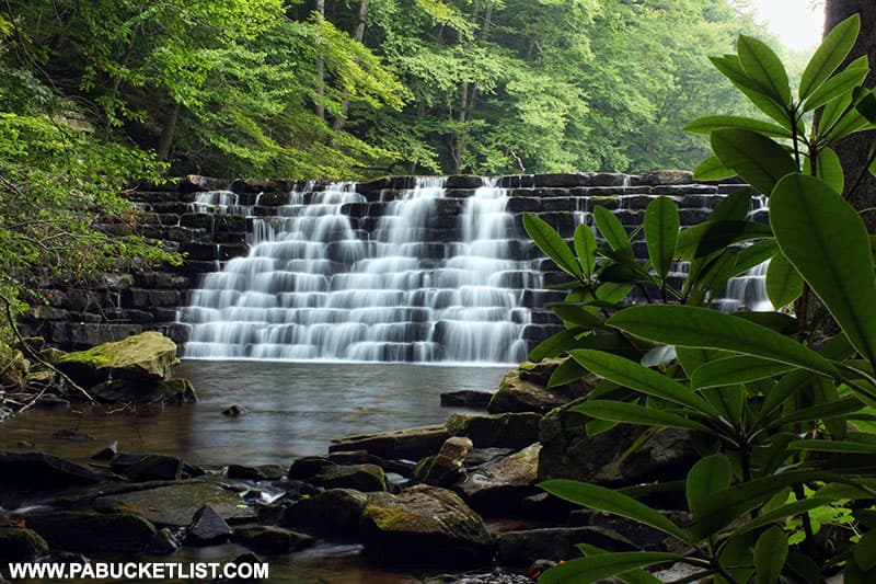
Discover more of the Laurel Highlands most amazing natural attractions by checking out “24 Must-See Waterfalls in the Laurel Highlands of PA”.

Selfie at Lower Jonathan Run Falls, Ohiopyle State Park

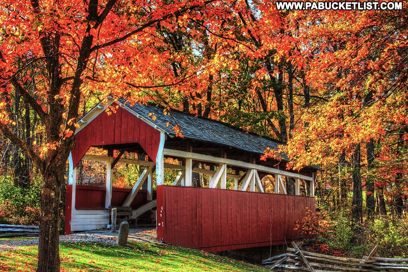
If covered bridges interest you, then be sure to check out “Exploring the Covered Bridges of Somerset County”, where you’ll find driving directions to all 10 historic sites.

Fall foliage at Walters Mill Covered Bridge in Somerset County PA
Walter’s Mill Covered Bridge in Somerset County.

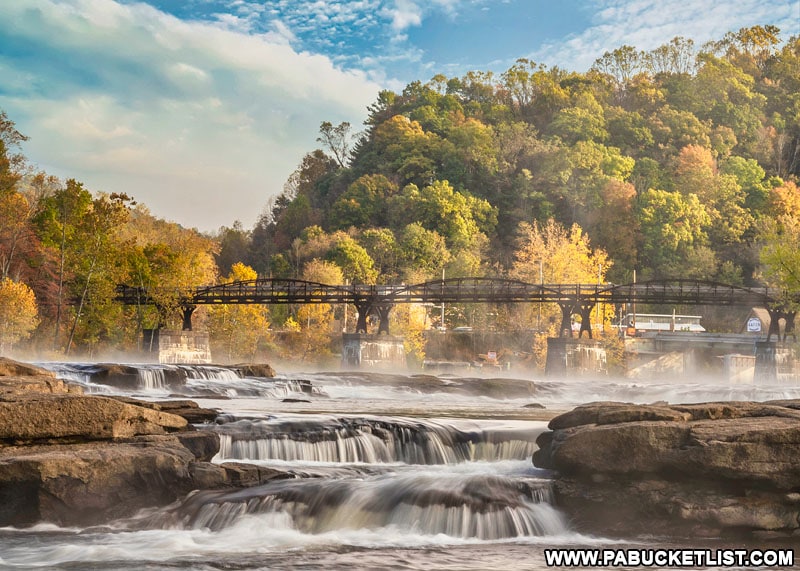
The Laurel Highlands was named by USA Today as one of the top destinations in the United States to view fall foliage.

Fall foliage around the High Bridge over the Youghiogheny River along the Great Allegheny Passage.
Fall foliage around the High Bridge over the Youghiogheny River at Ohiopyle State Park..

The 12 Best Places to View Fall Foliage at Ohiopyle State Park will show you why!

Fall foliage along the Ferncliff Trail at Ohiopyle in the Laurel Highlands.

10 of the Best Hiking Trails at Ohiopyle State Park will introduce you to some of the premier hiking trails in the Laurel Highlands.

The author at Fechter Run Falls in the spring of 2019.
The author at Fechter Run Falls along the Sugar Run Trail at Ohiopyle State Park.

Exploring Laurel Hill State Park in Somerset County will give you an overview of the best things to see and do at this historic Laurel Highlands destination.

Jones Mill Run Dam at Laurel Hill State Park.

Did you enjoy this article?

If so, be sure to like and follow PA Bucket List on Facebook, Instagram, and/or Pinterest to stay up-to-date on my latest write-ups about the best things to see and do in Pennsylvania.

Click on any of the icons below to get connected to PA Bucket List on social media!


PA Bucket List 2022 Sasquatch Logo

Pennsylvania’s Best Travel Blog!

Rusty Glessner
Rusty Glessner is a professional photographer, lifelong Pennsylvanian, and a frequently-cited authority on PA's best travel destinations.