
If you’re looking for directions to Slateford Creek Falls in Northampton County, you’re in the right place!
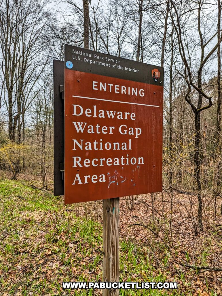
Slateford Creek Falls is a series of three waterfalls along a half-mile stretch of Slateford Creek, in the southern portion of the Delaware Water Gap National Recreation Area.
While all three waterfalls along Slateford Creek are easy enough to hike to, most of the directions you’ll find online are old and outdated, as road closures in recent years have made those directions obsolete.
So follow along as I share with you the best way to find and enjoy the waterfalls along Slateford Creek, with maps and photos from my visit in April 2024.
Directions to Slateford Creek Falls
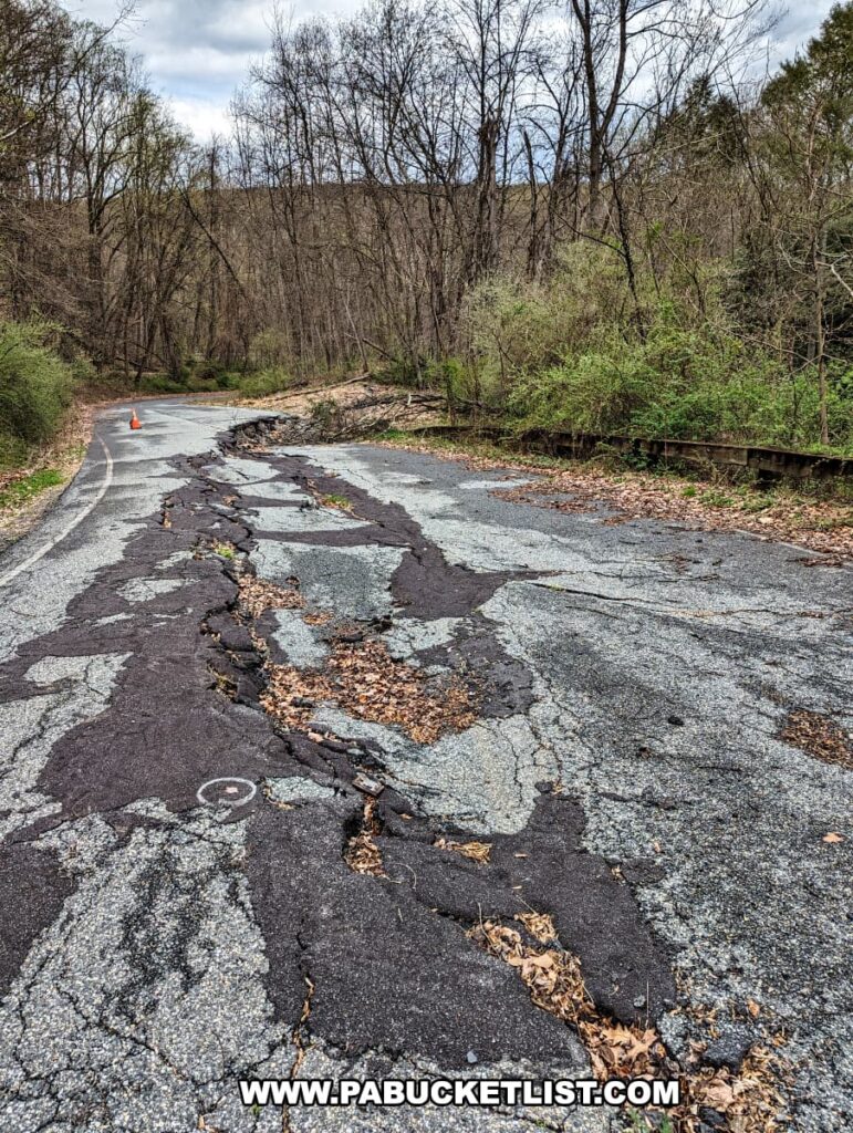
Despite what your navigation or hiking app might tell you, YOU CANNOT ACCESS SLATEFORD CREEK FALLS FROM ROUTE 611!
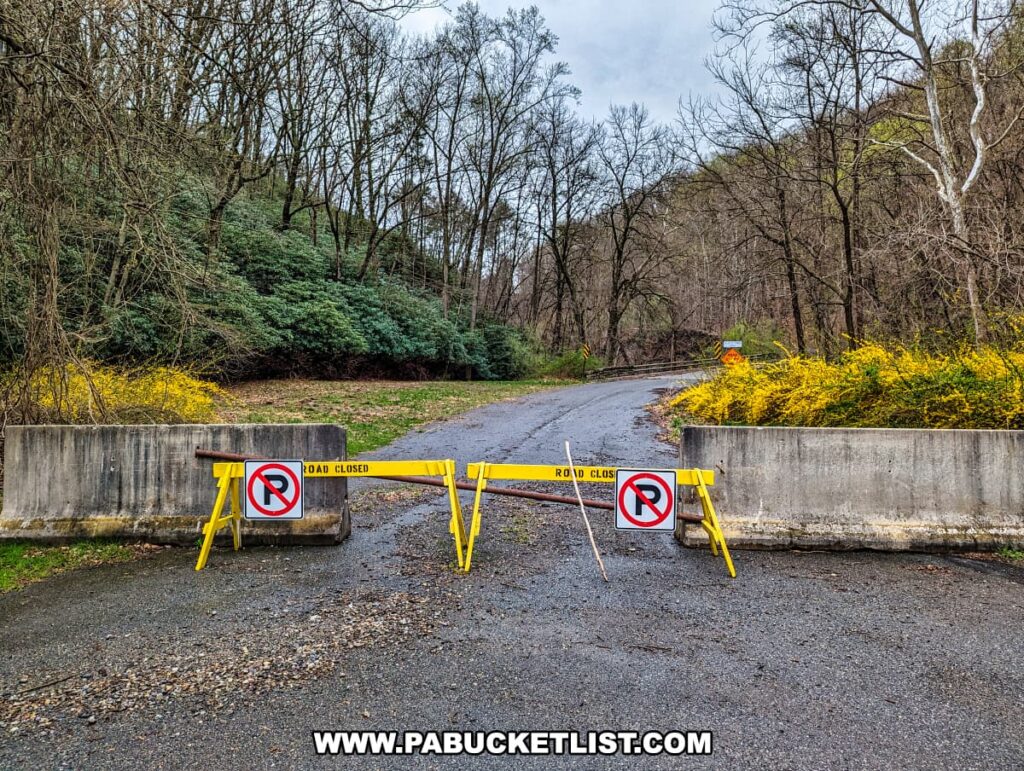
Due to a partial road collapse along National Park Drive near its intersection with Route 611, you can ONLY access Slateford Creek Falls from the west.
Upper Slateford Creek Falls
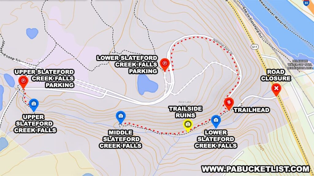
It makes the most sense to start at Upper Slateford Creek Falls, as it’s the first waterfall you encounter when approaching from the west.
You’ll find the roadside pull-off parking for Upper Slateford Creek Falls at GPS coordinates 40.94709, -75.12715.

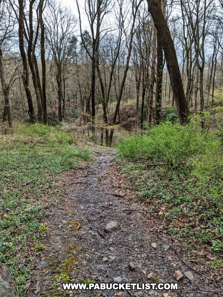
Follow this unblazed but obvious trail downhill for 100 yards to the base of the falls.
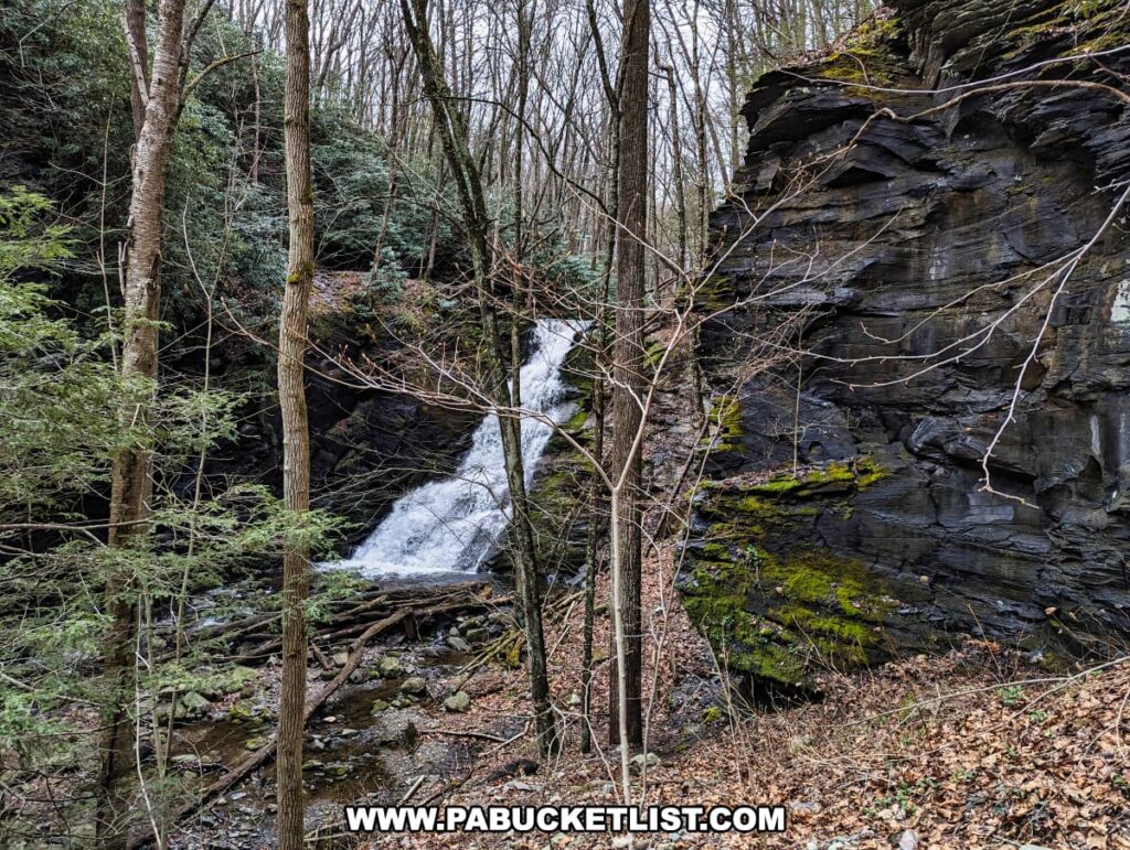
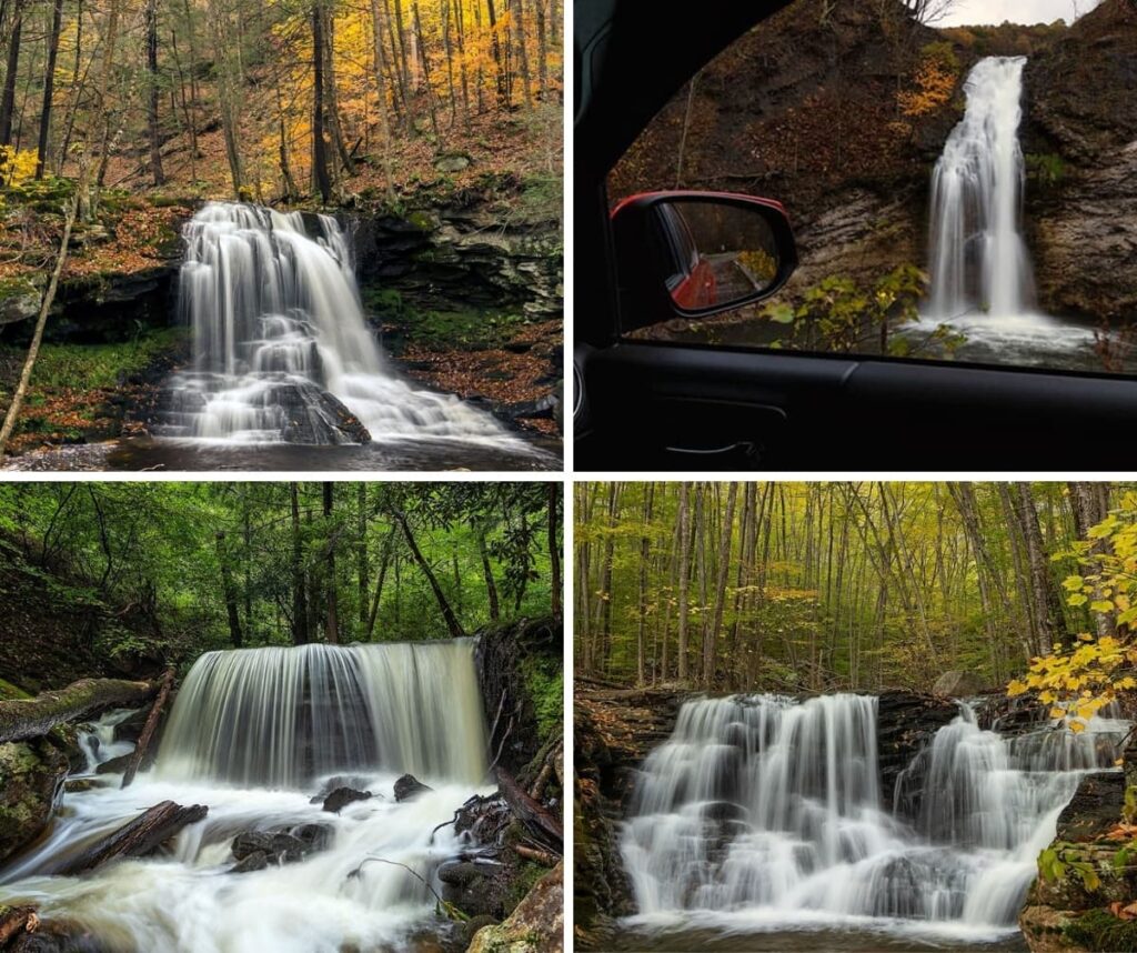
Upper Slateford Creek Falls stand roughly 20 feet tall, and you’ll find it at GPS coordinates 40.94620, -75.12662.
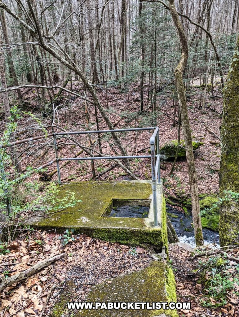
You’ll notice the ruins of a concrete dam just below Upper Slateford Creek Falls, and you’ll encounter more industrial ruins near the lower falls as well.
Lower and Middle Slateford Creek Falls
From the parking area at Upper Slateford Creek Falls, continue down the road (east) another 1/4 mile to the Arrow Island Trail parking area.
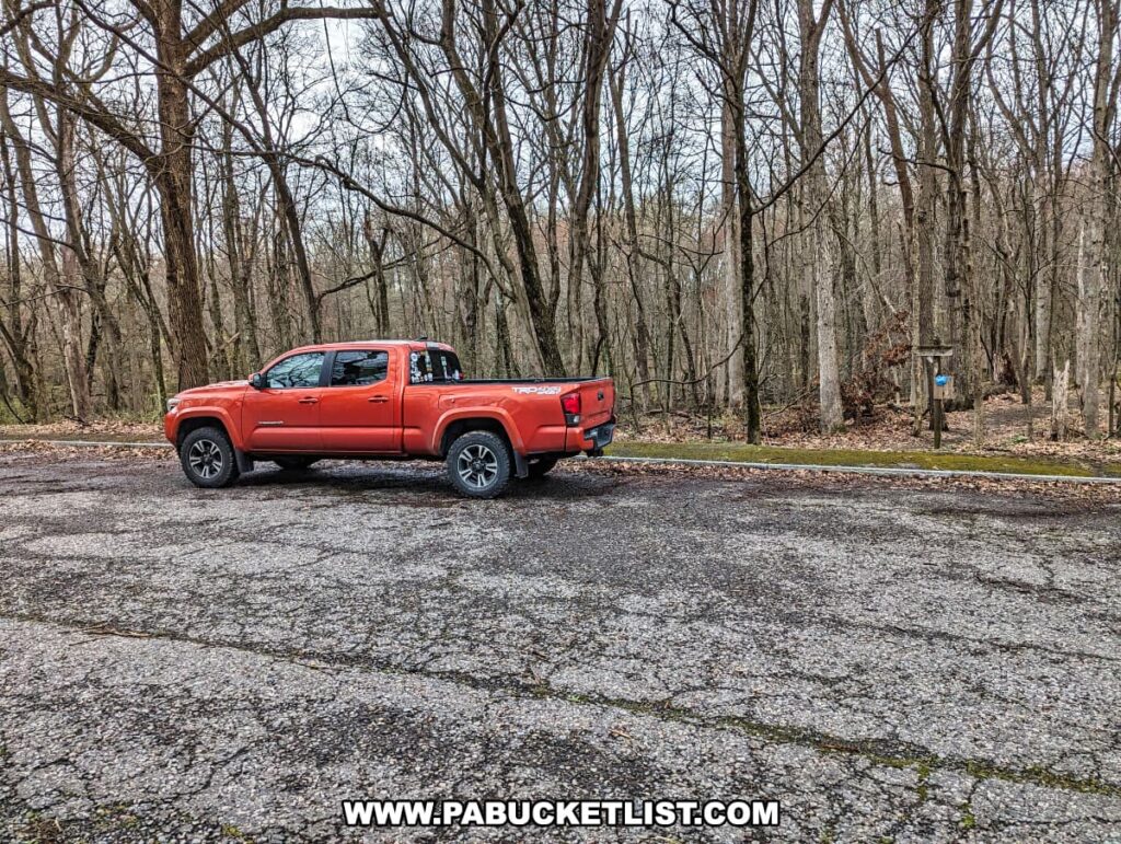
You’ll find this parking area at GPS coordinates 40.94777, -75.11992.
Don’t worry about missing this parking area, the road is blocked just a few yards beyond it, to prevent you from driving into the area of roadway collapse.
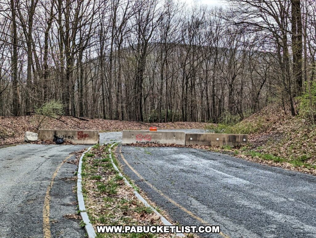
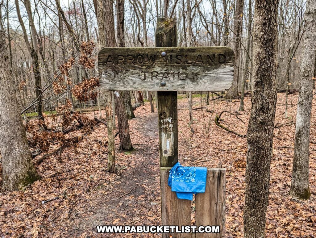
From the parking area, walk around the barriers and hike down the road for 1/3 of a mile until you see this trailhead veering off to your right, at GPS coordinates 40.94625, -75.11664.
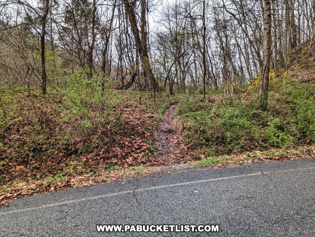
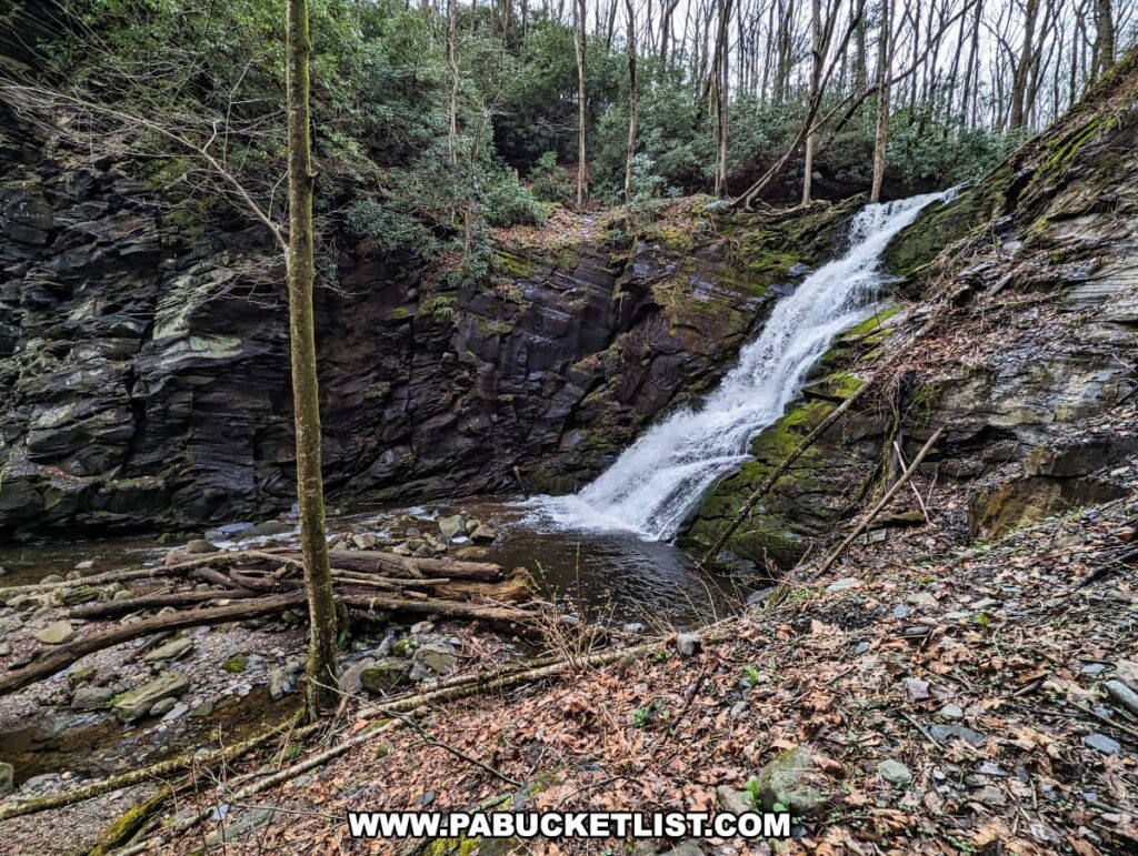
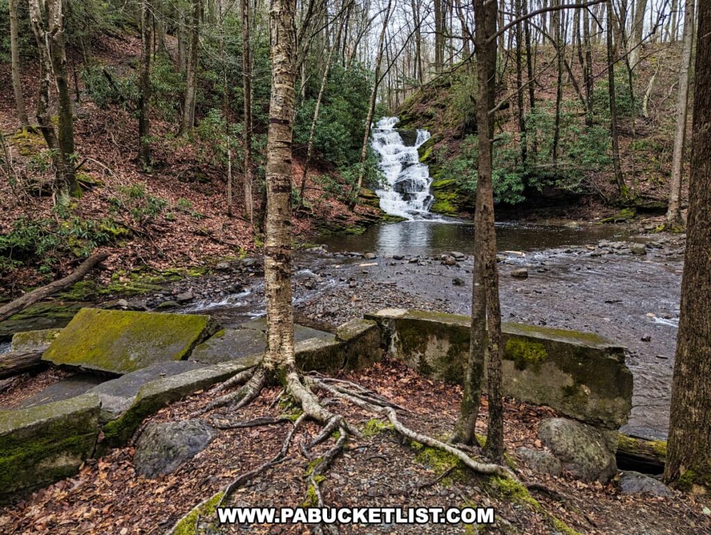
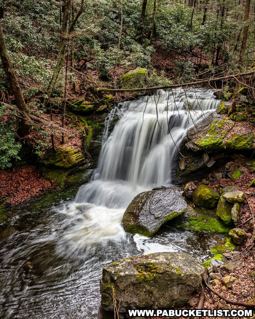
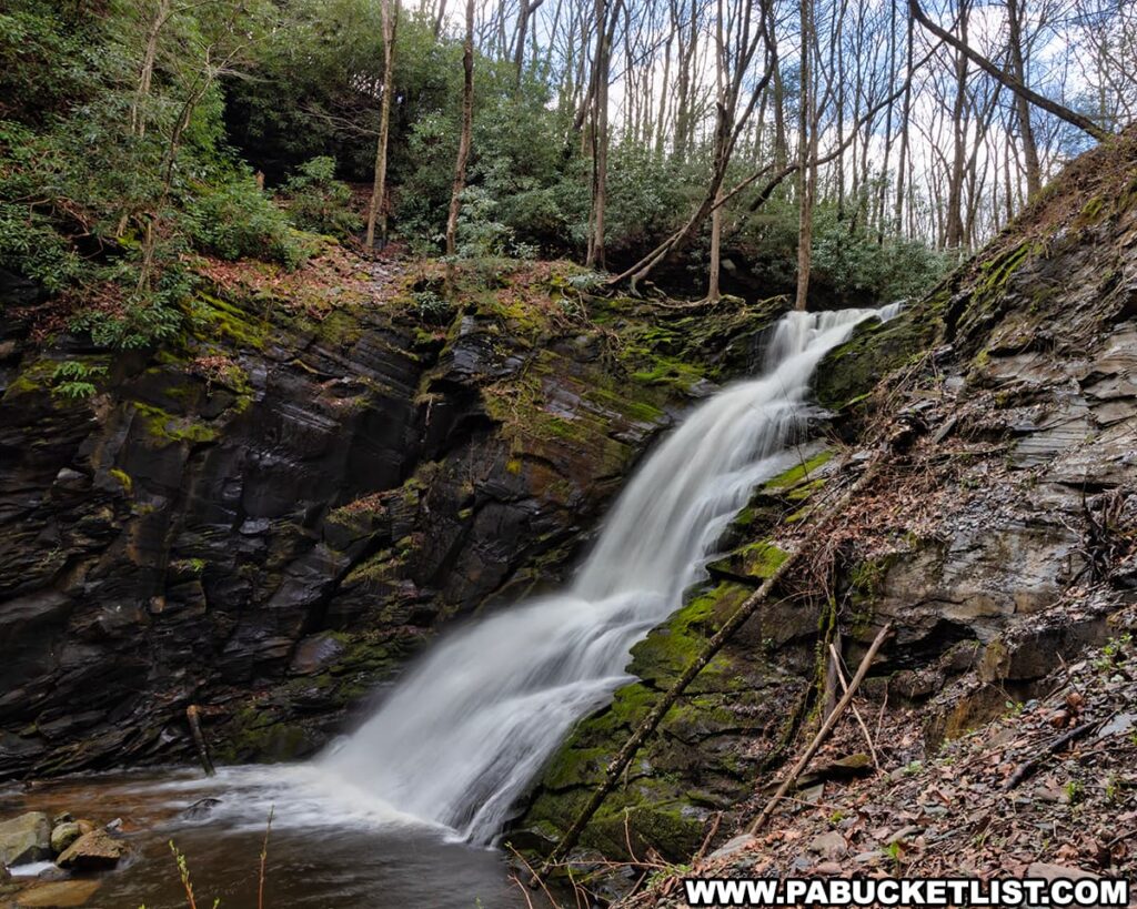
Lower Slateford Creek Falls lies 100 yards upstream from the trailhead (GPS coordinates 40.94557, -75.11730).
Standing roughly 15 feet tall, Lower Slateford Creek Falls is quite photogenic, as are a few small cascades below it.
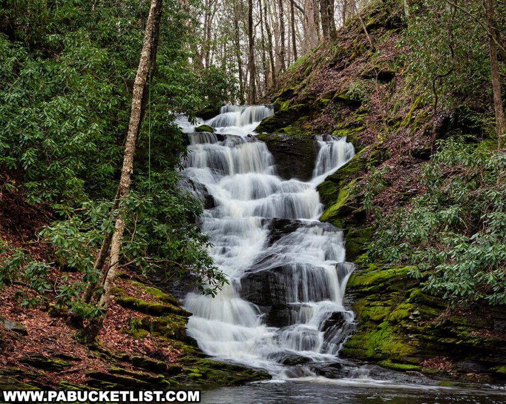
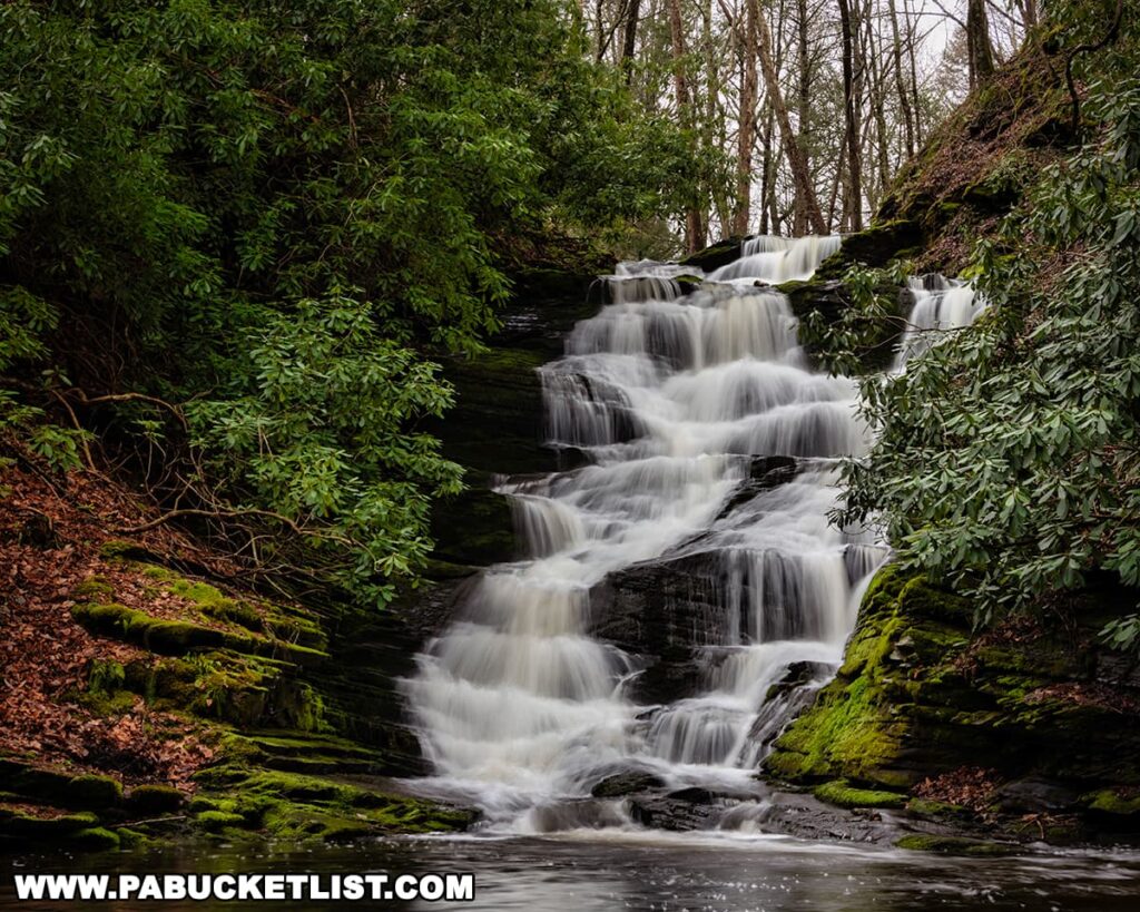
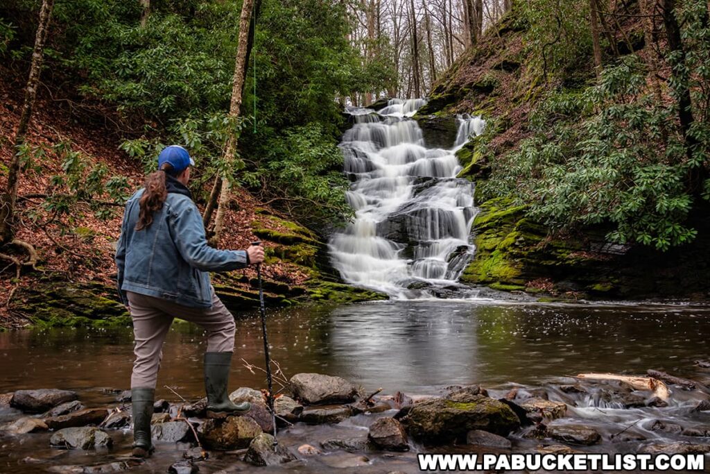
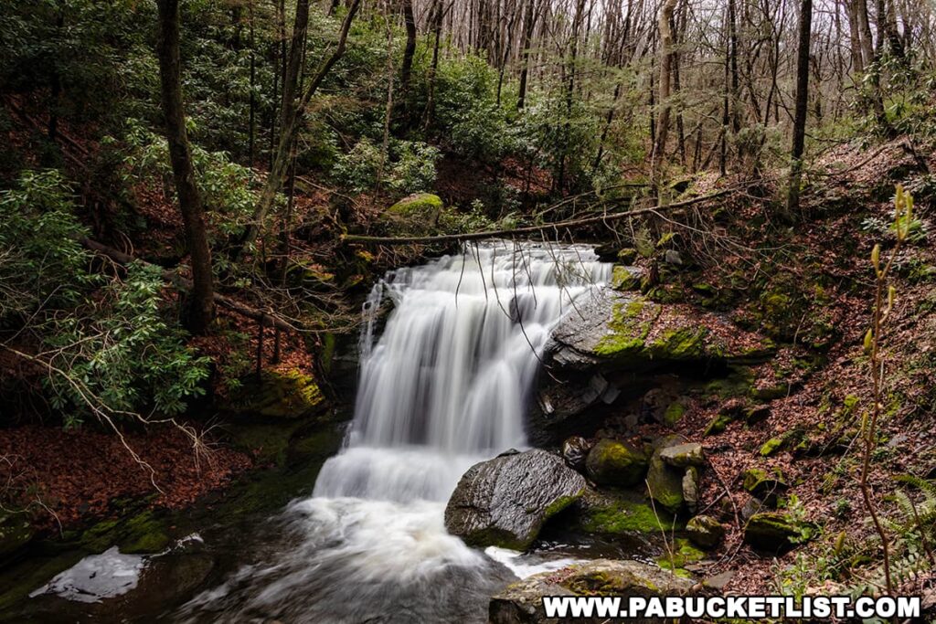
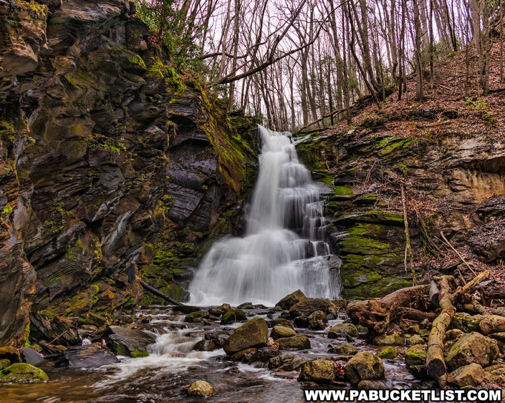
From here, continue to follow the trail upstream for another 1/4 mile until Middle Slateford Creek Falls comes into view (GPS coordinates 40.94573, -75.12217).
Standing roughly 30 feet tall, this is the tallest waterfall along Slateford Creek.
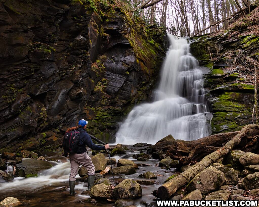
There’s a nice side view to be had here as well
When you’ve had your fill of Middle Slateford Creek Falls, simply backtrack to the road and then your vehicle, and take note of some of the other industrial ruins along the way.
Final Thoughts
All three waterfalls along Slateford Creek are well worth visiting, making this a great day trip destination when visiting the Delaware Water Gap National Recreation Area.
Related Attractions
42 Must-See Roadside Waterfalls in Pennsylvania highlights dozens of the most scenic roadside waterfalls in Pennsylvania, all personally visited and photographed during my travels across the Keystone State.
Nearby Attractions
Columcille Megalith Park in Northampton County spans over 20 acres and features more than 90 strategically placed stone settings reminiscent of the megalithic structures found in ancient Celtic lands, earning it the nickname “Pennsylvania’s Stonehenge.”

A Smarter Way to Explore Pennsylvania
Explore Pennsylvania like a pro with the interactive PA Bucket List Travel Map, showcasing over 1,000 memorable destinations I’ve personally visited across the Keystone State.
Did you enjoy this article?
If so, be sure to like and follow PA Bucket List on Facebook, Instagram, and/or Pinterest to learn more about the best things to see and do in Pennsylvania!
Click on any of the icons below to get connected to PA Bucket List on social media.