
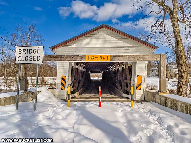
The Millmont Covered Bridge has the distinction of being the longest covered bridge in Union County, Pennsylvania.
Once an important local creek crossing, it was bypassed by a modern bridge capable of handling heavier traffic in 1976.
As of February 2021, it is closed to vehicular traffic but still open to pedestrian travel.
Millmont Covered Bridge FAQs
Alongside Creek Road, one mile west of Millmont. However, there is no parking along Creek Road. It is best to approach from the south, on Covered Bridge Road, and park on the south side of the Millmont Covered Bridge. GPS coordinates for the parking area on south side of the bridge are 40.87733, -77.15559.
Penns Creek.
131 feet long, 14 feet wide.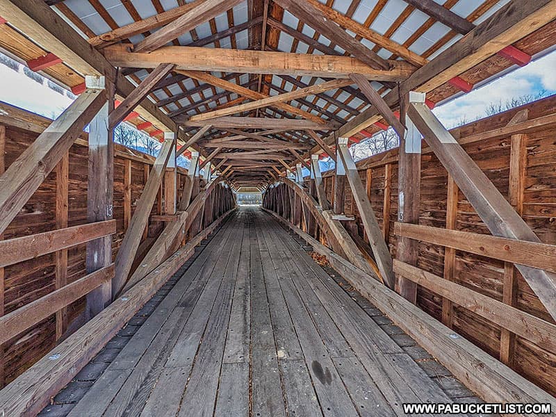
1855.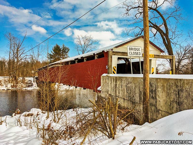
WGCB 38-60-01 #2 (World Guide to Covered Bridges number)
NRHP 80003644 (National Register of Historic Places reference number)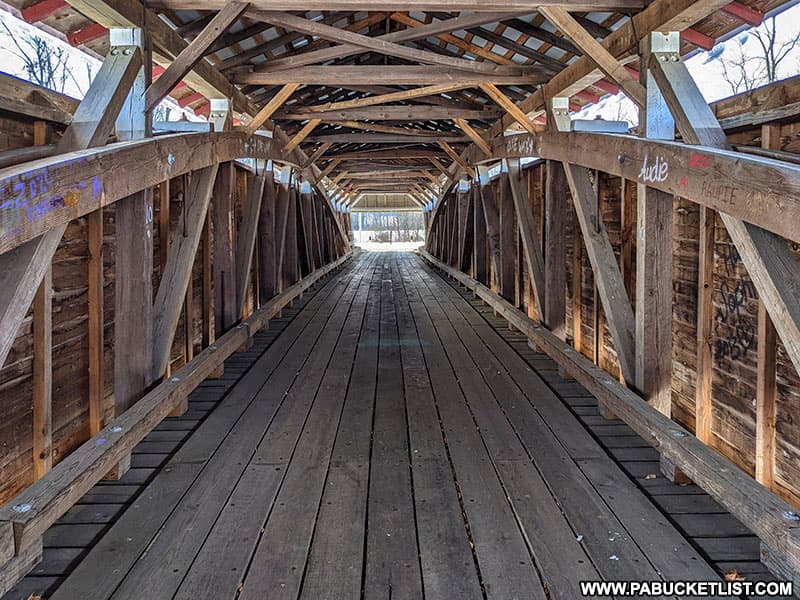
It is sometimes referred to as the Millmont Red Bridge or the Glen Iron Covered Bridge.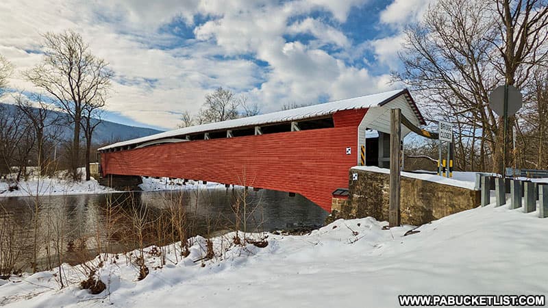
Union County.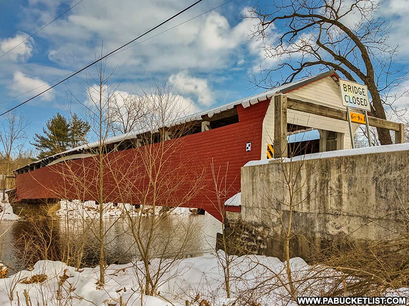
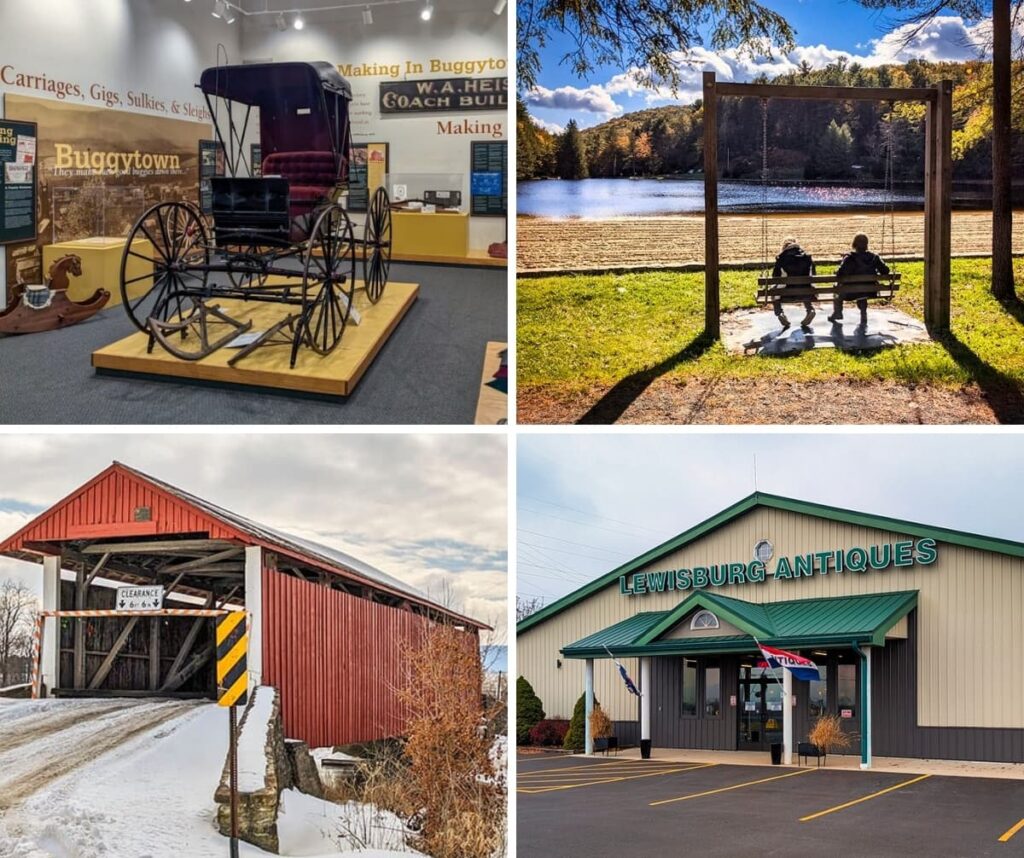
Nearby Attractions
13 Must-See Attractions in Union County showcases more remarkable sights and experiences near the Millmont Covered Bridge.
Explore Pennsylvania like a pro with the interactive PA Bucket List Travel Map, showcasing over 1,000 memorable destinations I’ve personally visited across the Keystone State.
Did you enjoy this article?
If so, be sure to like and follow PA Bucket List on Facebook, Instagram, and/or Pinterest to stay up-to-date on my latest write-ups about the best things to see and do in Pennsylvania!
Click on any of the icons below to get connected to PA Bucket List on social media!