")
If you’re looking for directions to Yoder Falls in Somerset County, you’re in the right place!
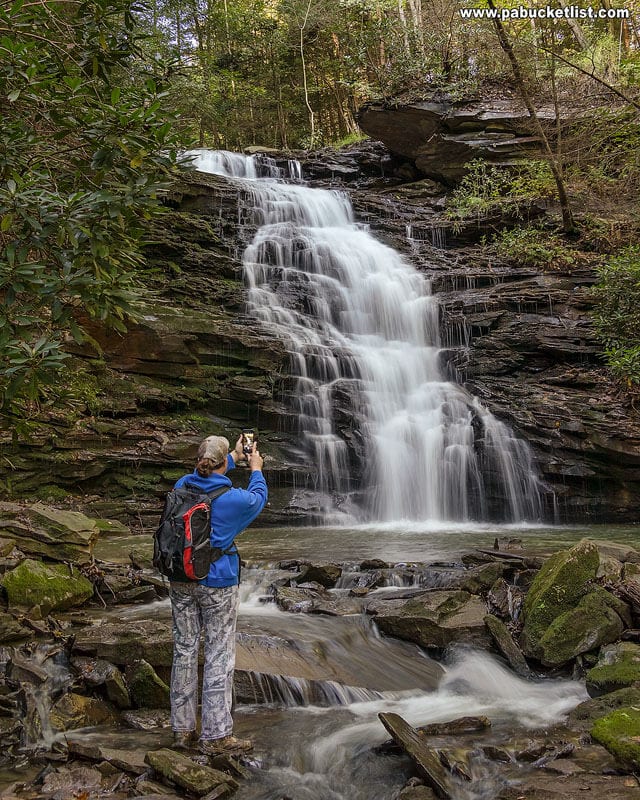
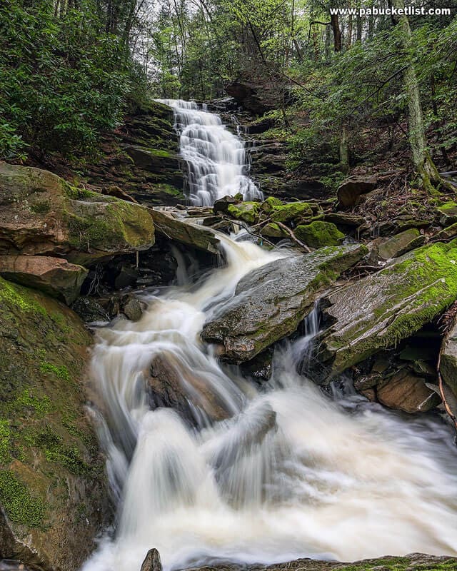
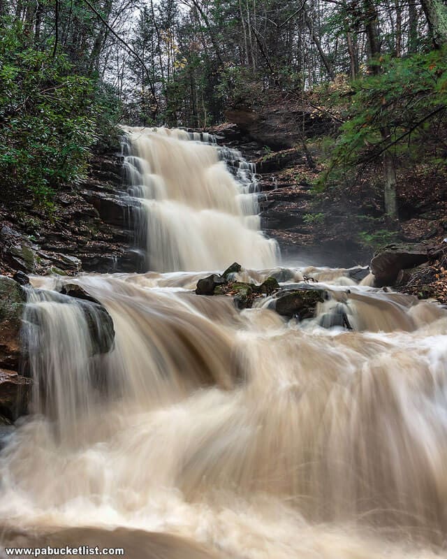
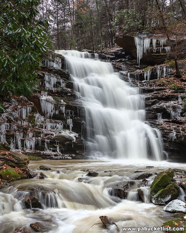
At roughly 25 feet tall, Yoder Falls is one of the tallest waterfalls in the PA Laurel Highlands.
Situated near the Somerset / Cambria County line on land owned by the city of Johnstown (but open to public hiking), Yoder Falls is a popular destination for locals looking for a short hike to a picturesque waterfall.

Directions to Yoder Falls
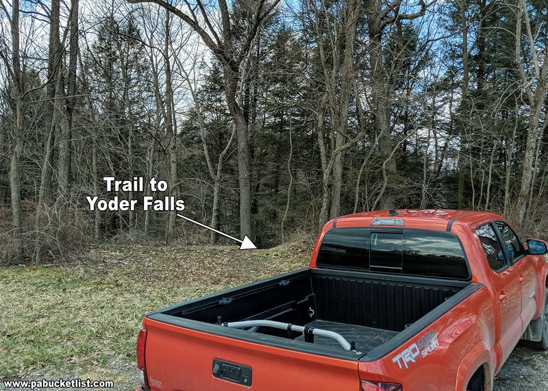
The parking area for the hike to Yoder Falls is located along Carpenter Park Road at GPS coordinates 40.247385, -78.892312.
The trailhead is located at the back left corner of the parking lot.
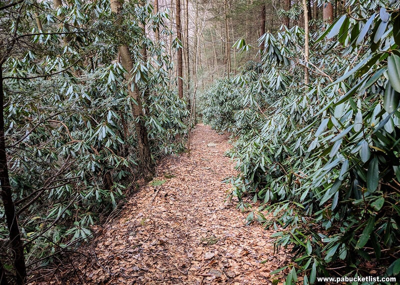
This is a relatively short but steep hike of 0.3 miles (one way), with 272 feet of elevation change from the parking area to the lowest point near the Stonycreek River.

From the map above, you can see that you will be hiking downhill to a spot near the Stonycreek River, then hiking back up the small waterway that Yoder Falls is on, making 2 wet crossings along the way.
The reason you bypass the falls initially is due to the steep, rocky nature of the gorge Yoder Falls lies in.
The trail itself is 3-4 feet wide and very easy to follow as it descends to the Stonycreek River.
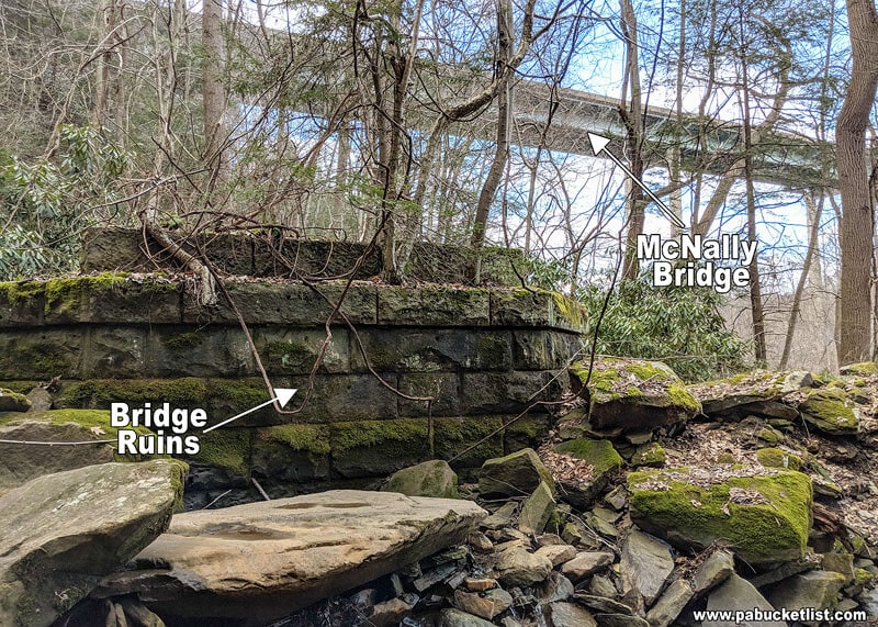
At the bottom of the hill you’ll encounter the remnants of an old bridge that once spanned the Stonycreek, in the shadow of the current McNally Bridge, which carries Route 219 over the river.
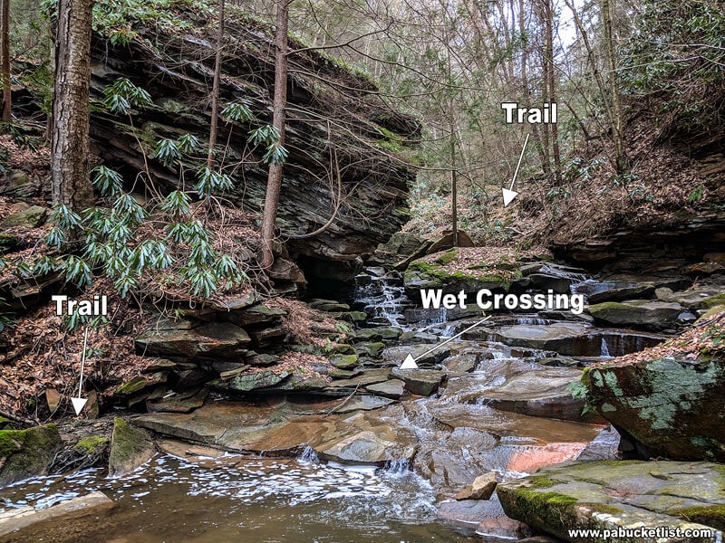
With the Stonycreek River and the old bridge remnants at your back, start hiking up the left side of the small stream, and make the first of two wet crossings at this point below a massive rock formation.
Now safely on the right side of the stream, you’ll encounter this rope handrail that guides you up a rocky path towards your first glimpse of Yoder Falls.

Just past the rope handrail you’ll crest a hill, then descend to this second wet crossing downstream from Yoder Falls.
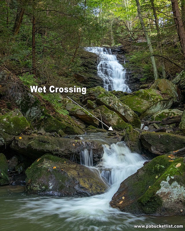
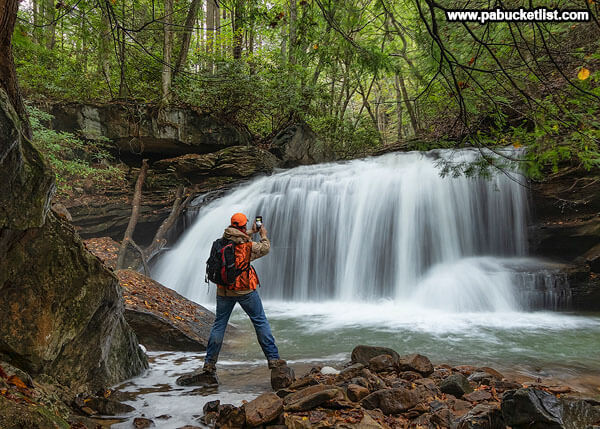
Once you’ve made the second wet crossing, it’s a short scamper to the base of the falls, at GPS coordinates 40.24863, -78.89227.
Stay awhile and enjoy the view, then when you’ve had your fill of the falls, simply backtrack the 0.3 mile trail to the parking area along Carpenter Park Road.
Nearby Attractions
24 Must-See Waterfalls in the PA Laurel Highlands is your guide to all the best waterfalls in the surrounding region.
17 Must-See Attractions in Cambria County is your guide to the best things to do in and around Johnstown.

22 Must-See Attractions in Somerset County is your guide to the best things to see and do just south of Yoder Falls.

Find even more great destinations to explore all across Pennsylvania with the interactive PA Bucket List Travel Map!