
Riding the Penn’s Creek Path in the Bald Eagle State Forest is an experience that blends history, scenery, and solitude in equal measure.
This 2.7-mile rail trail follows the former Lewisburg and Tyrone Railroad line, tracing a route once used to haul lumber through the rugged ridges of central Pennsylvania.
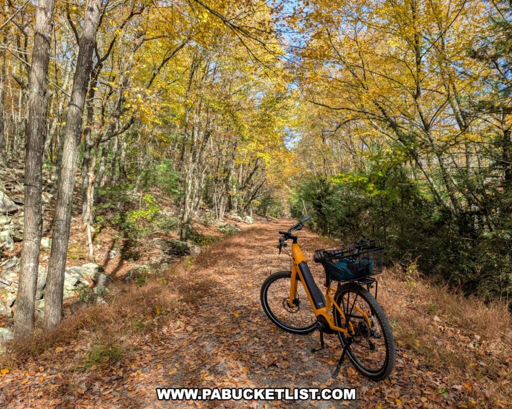
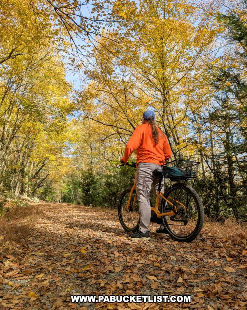
Today, it serves as a peaceful, multi-use path for cyclists and hikers traveling through hardwood forests that straddle the Centre and Mifflin County line.
Directions to Penn’s Creek Path
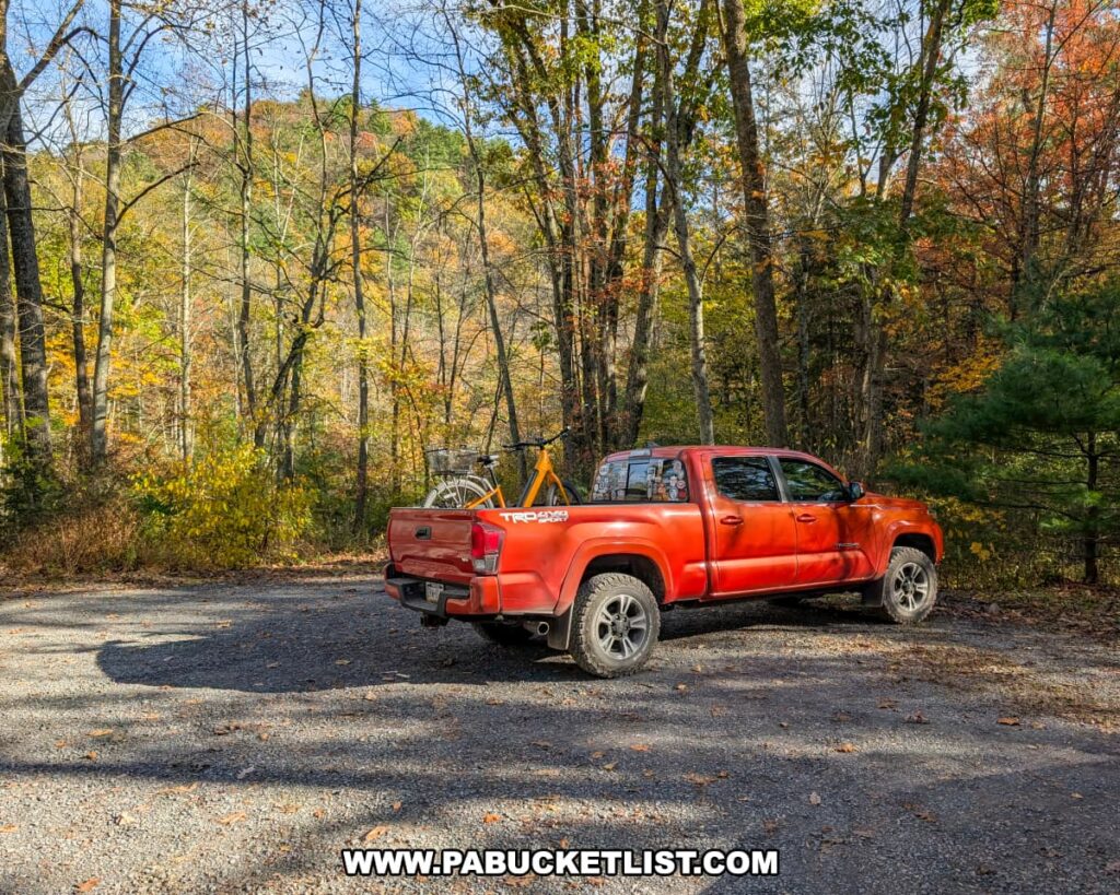
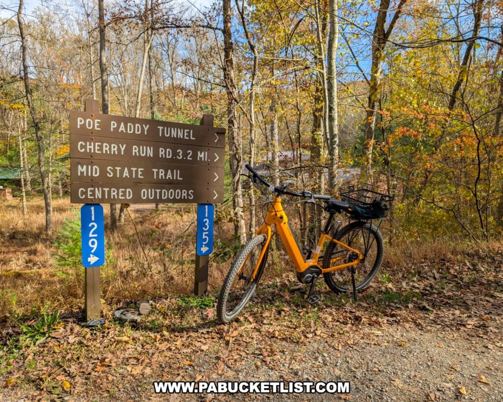
There are parking areas located at either end of Penn’s Creek Path, on the western end along Tunnel Spur Road (GPS coordinates 40.83732, -77.40927), and at the eastern end along Cherry Run Road (GPS coordinates 40.84652, -77.36234).
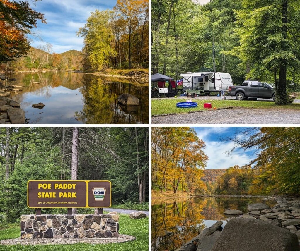
You can also park at Poe Paddy State Park (a 1/2 mile west of the western trailhead) and ride your bike along Tunnel Spur Road to the trailhead (which is what I do.)
What You’ll See Along Penn’s Creek Path
Since I live in Centre County, I generally start from the western terminus of the trail, closest to Poe Paddy State Park, therefore my description of the trail will start from the western end.
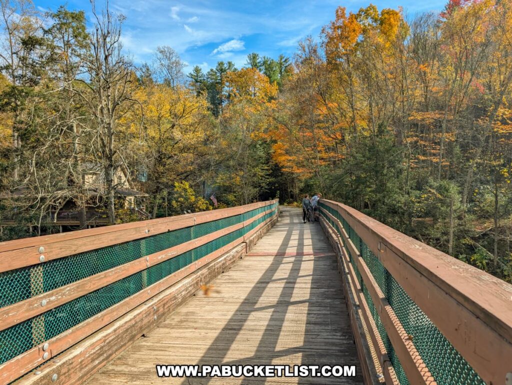
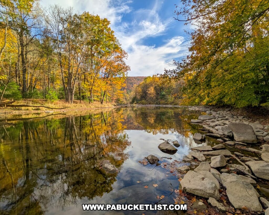
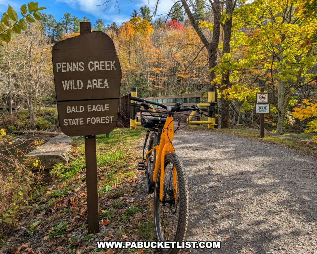
The trail begins along Tunnel Spur Road, where a gravel path leads to one of the route’s signature highlights – a beautifully restored wooden bridge spanning Penn’s Creek.
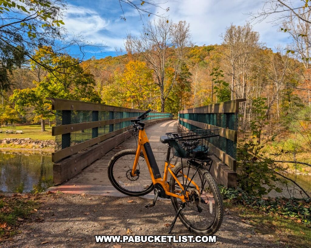
The bridge offers outstanding views of the waterway below, reflecting the forested hillsides and autumn colors that make this area so picturesque.
Crossing it feels like gliding through a living postcard, with the gentle sound of flowing water below.
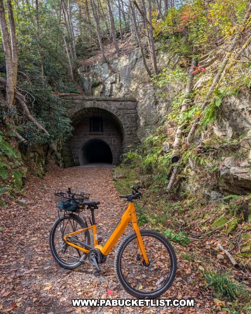
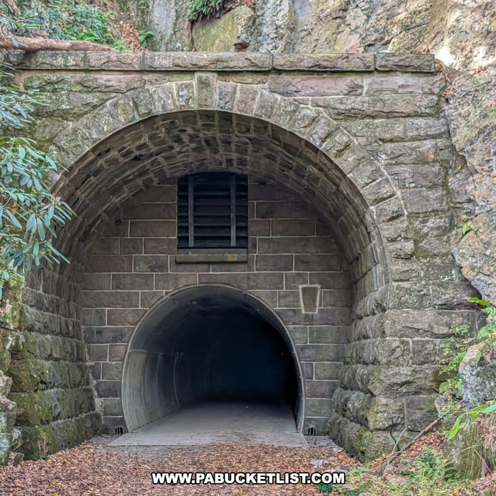
A short distance ahead lies the Poe Paddy Tunnel, a nearly 300-foot-long passage blasted through West Paddy Mountain in the 19th century and restored in 2015 for trail use.
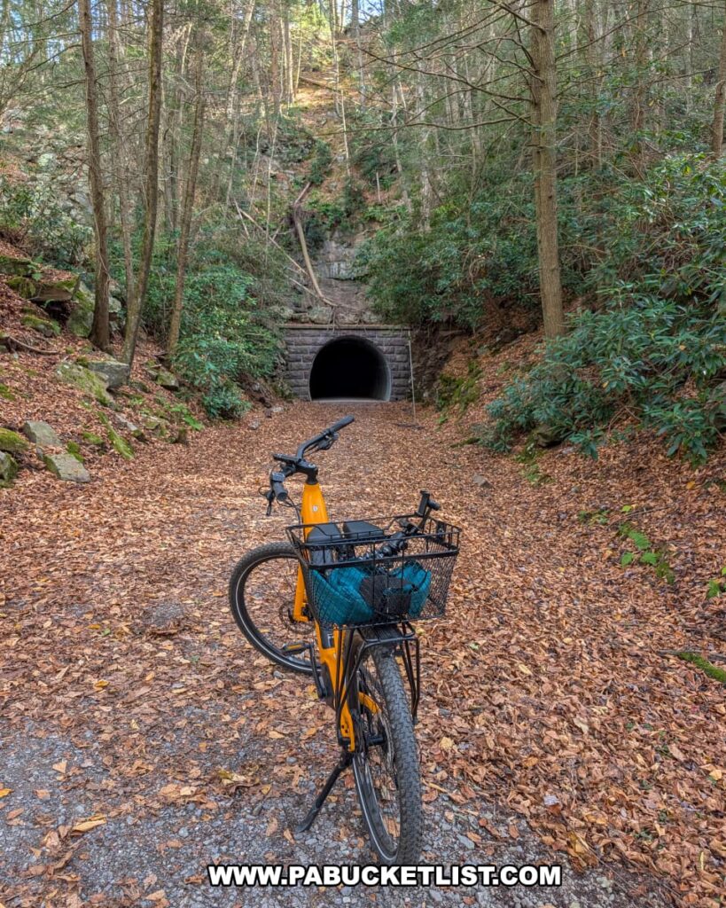
This curved tunnel remains one of the most distinctive features of the trail, with its corrugated metal walls, cool interior, and a gentle bend that keeps the far end hidden until you’re halfway through.

Riders are wise to bring a light, as the middle section can be quite dark, adding a small thrill to an otherwise tranquil ride.

Above the tunnel’s east entrance, a grated bat gate allows hibernating bats to enter safely during the winter months, a reminder of how this route serves both people and wildlife.
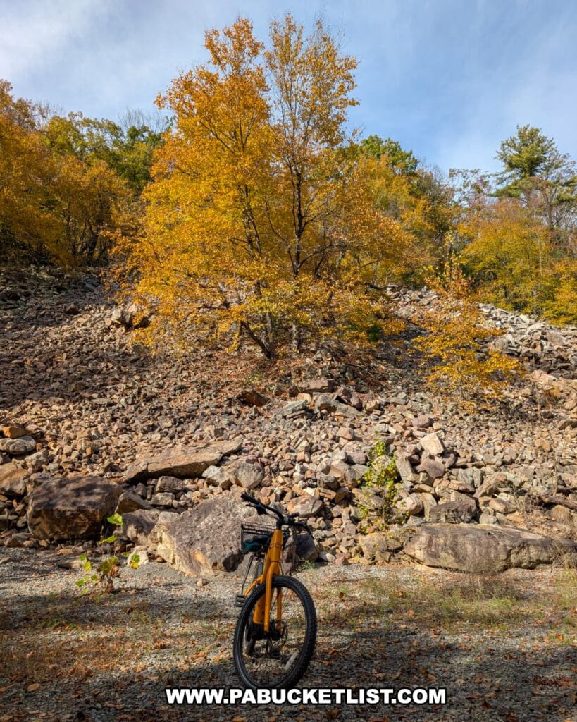
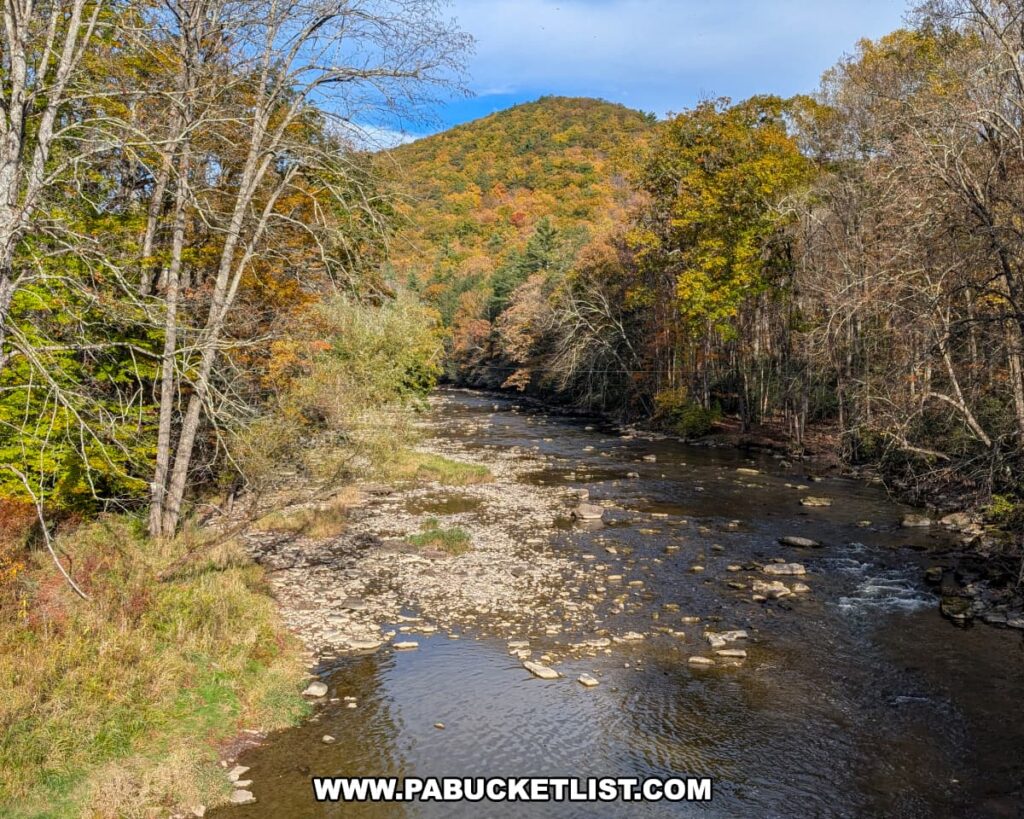
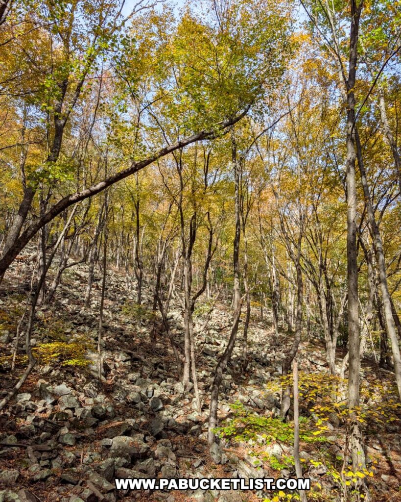
Emerging from the tunnel, the trail continues through the 6,000-acre Penn’s Creek Wild Area, surrounded by towering trees and rocky hillsides that echo with the sounds of nature.
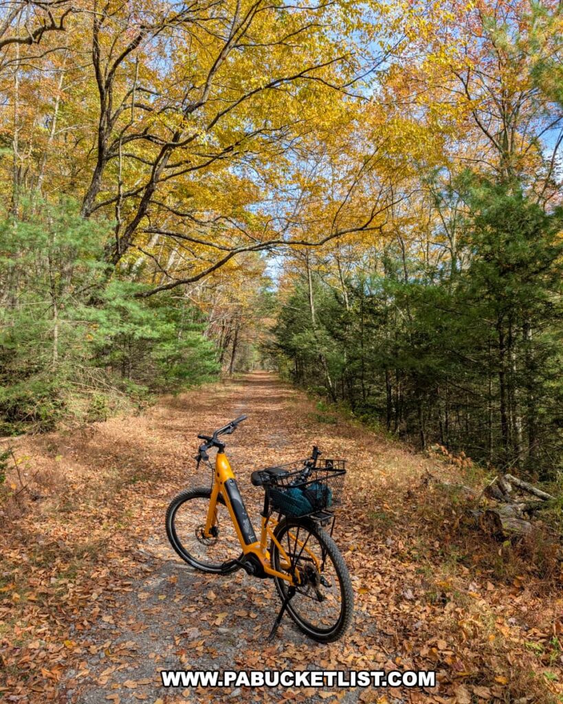
Along the way, several vantage points offer glimpses of Penn’s Creek winding below, a perfect place to pause and appreciate the quiet beauty of the forest.
This out-and-back ride generally takes less than an hour to complete, even if you stop to snap a few photos along the way.
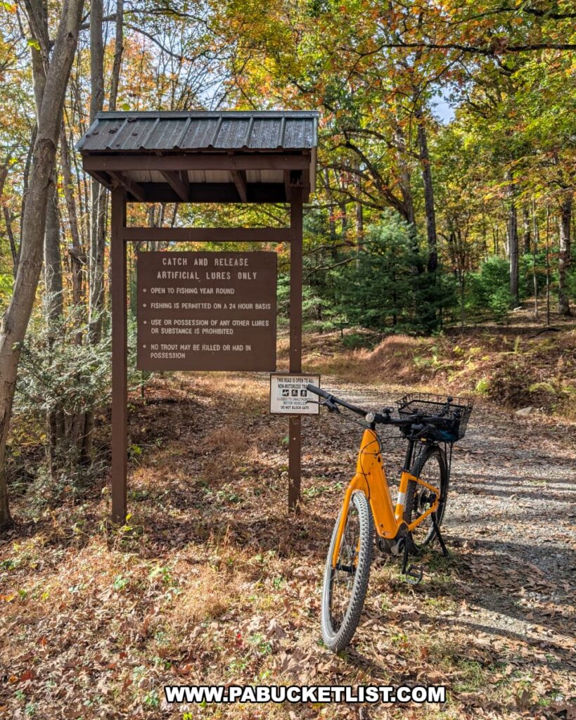
You won’t encounter towns or amenities along the route, but restrooms and drinking water can be found at the Poe Paddy State Park campgrounds near the western end of the trail.
Final Thoughts
In the end, the Penn’s Creek Path offers a perfect blend of scenic charm and historical intrigue in the heart of Bald Eagle State Forest.
It’s an ideal spot for a relatively short ride that’s rich in both wild landscapes and impressive man-made features.
Related Attractions
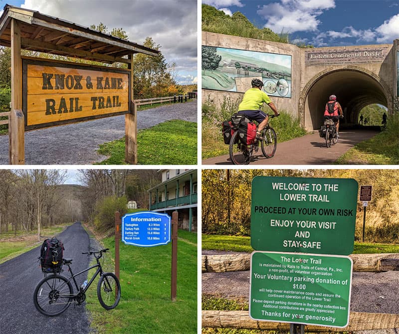
16 PA Rail Trails Anyone Can Enjoy is your ticket to the best cycling adventures across the Keystone State.
Nearby Attractions
Poe Paddy State Park is a 23 acre recreational area, located just a half-mile from the western trailhead of the Penn’s Creek Path.
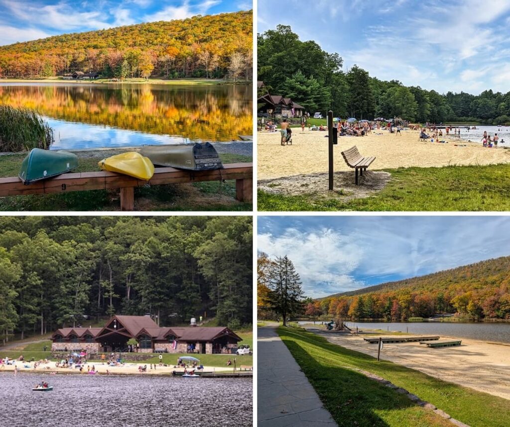
Poe Valley State Park is a 620-acre recreation area in Centre County centered around 25-acre Poe Lake.
37 Must-See Attractions in Centre County is your guide to even more exceptional destinations near the Penn’s Creek Path.

Find even more great destinations to explore all across Pennsylvania with the interactive PA Bucket List Travel Map!
Did you enjoy this article?
If so, be sure to like and follow PA Bucket List on Facebook, Instagram, and/or Pinterest to learn more about the best things to see and do in Pennsylvania!
Click on any of the icons below to get connected to PA Bucket List on social media.