
If you’re looking for information about visiting Jarrett Falls in Fulton County, you’re in the right place!
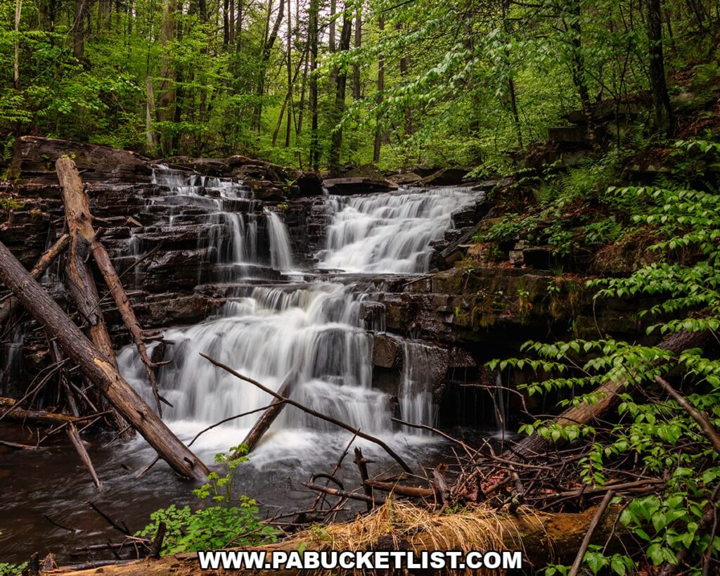
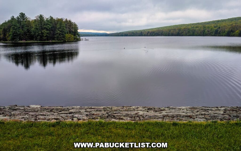
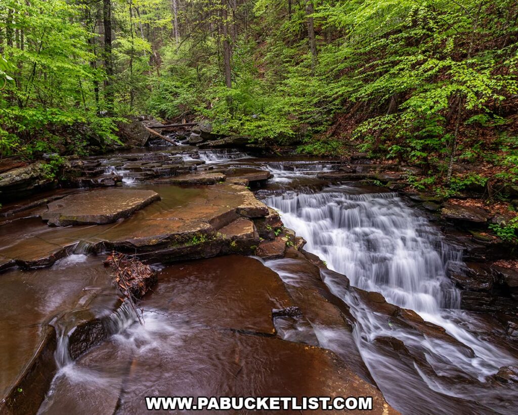
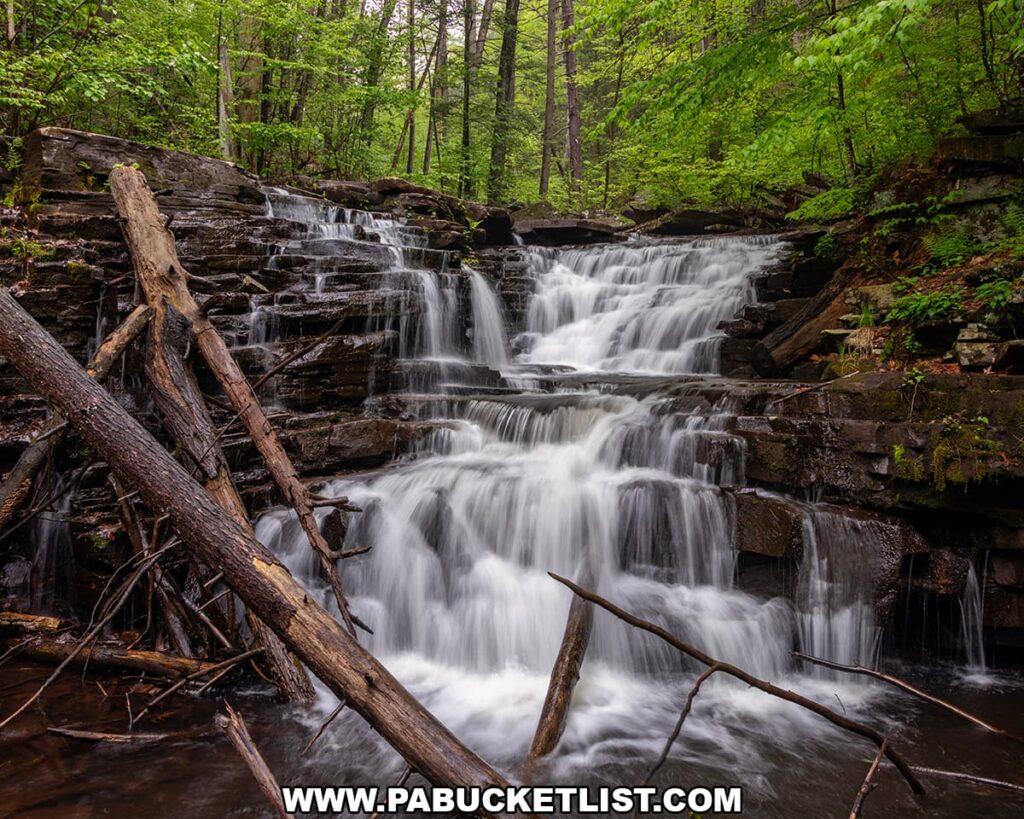
Jarrett Falls is a scenic 15-foot tall waterfall on Roaring Run in State Game Lands 53, roughly 1.7 miles downstream from Meadow Grounds Lake.
As of May 2026, when these photos were taken, the red-blazed Jarrett Trail had been cleared of all blowdowns, making for a pleasant hike to one of southcentral Pennsylvania’s most picturesque waterfalls.
Directions to Jarrett Falls
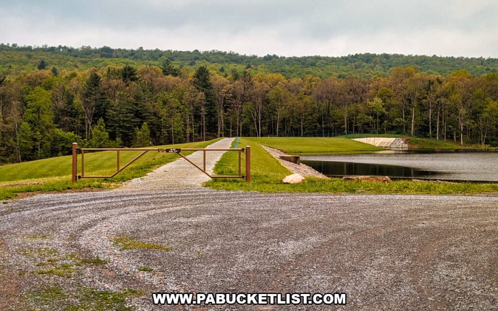
The parking area for the Jarrett Trail is located near the breast of the dam on Meadow Grounds Lake, on State Game Lands 53.
If navigating by GPS coordinates, use 39.90511, -78.05616 to find this well-marked parking lot, pictured below.

From the parking lot, walk around the gate and follow the gravel trail across the breast of the dam.
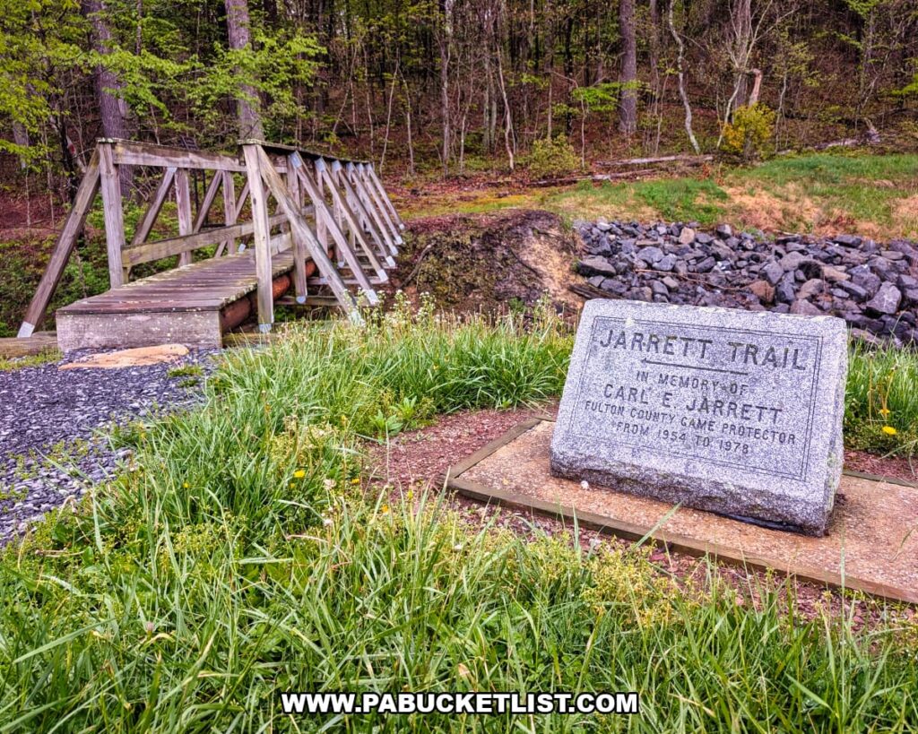
Once you get to the opposite side of the dam, you’ll see the monument pictured below, indicating the beginning of the trail.
The total length of the hike, from the parking area to the top of falls, covers 1.7 miles.
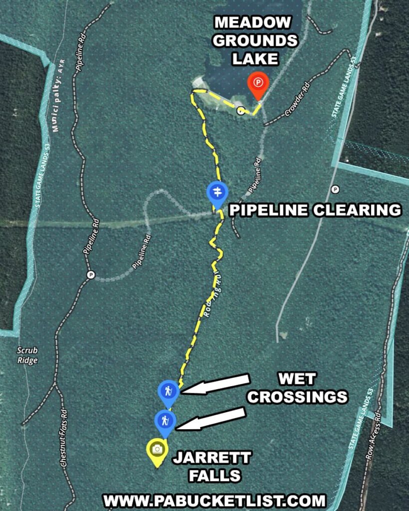
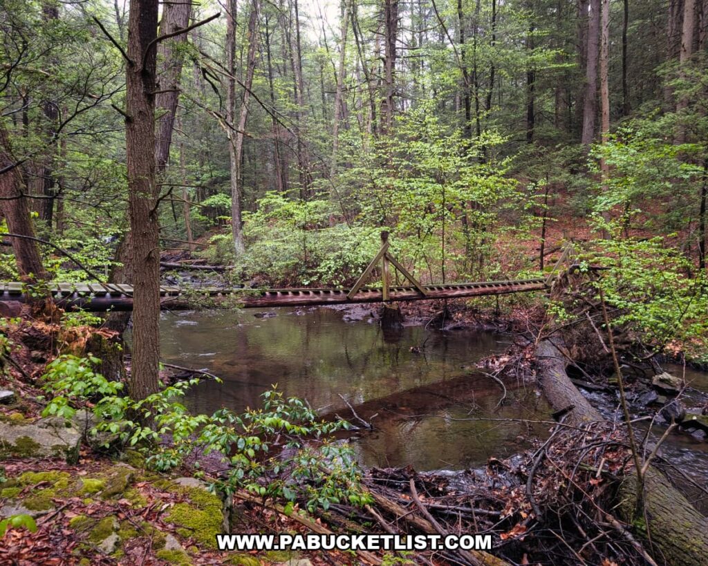
Along the way, you’ll cross 4 bridges and make 2 wet crossings (shallow stream crossings with no bridge.)
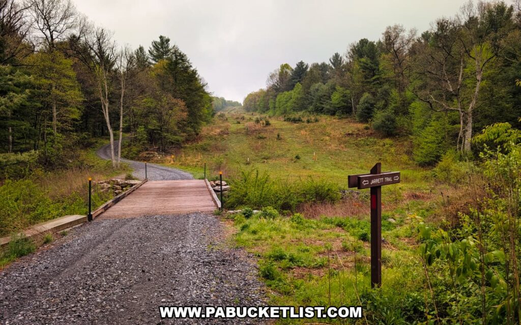
The only potentially confusing part of the hike is at the spot indicated as “Pipeline Clearing” on the map above – when you reach this intersection after the first half-mile of hiking, you must cross over this bridge, bear right, and continue down the left side of the stream.
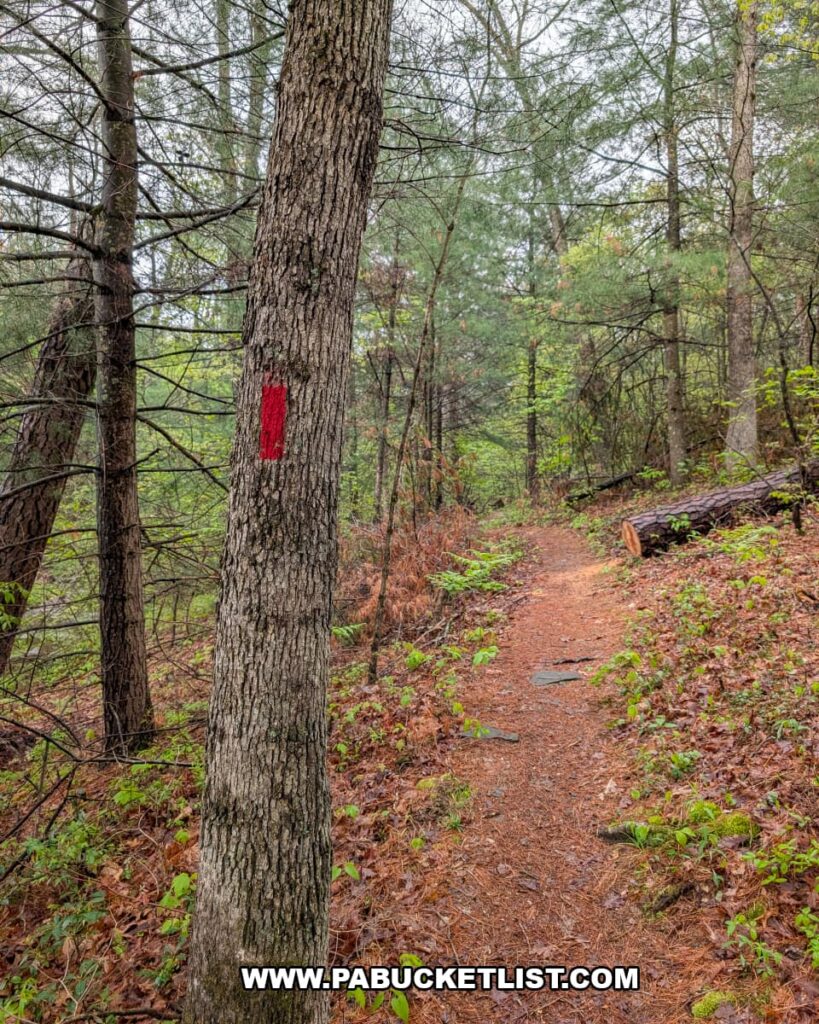
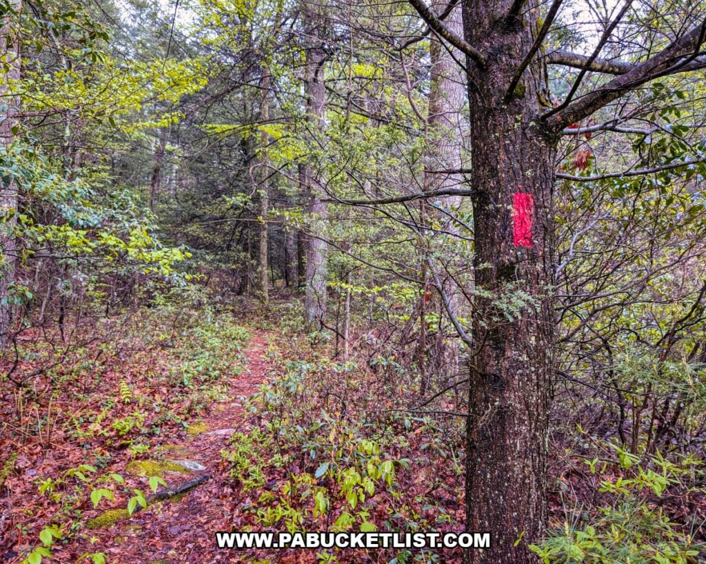
As soon as you step into the woods on the left side of the stream (when facing downstream), you’ll see the red-blazed tree pictured below, indicating that you are still on the Jarrett Trail.
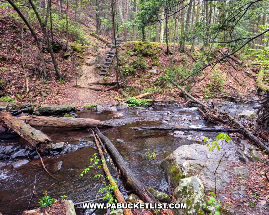
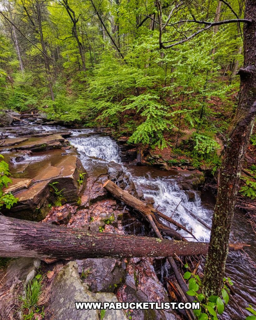
Continue downstream to mile 1.4, where you’ll encounter the first of two wet crossings, complete with a hand cable and ladder to assist you across the stream and up the opposite bank.
Roughly 200 yards beyond that, you’ll encounter the second wet crossing, also accompanied by a hand cable.
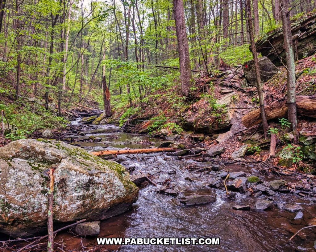
Once you’ve made the second wet crossing, the top of the falls are just 200 yards further downstream.
Photographing Jarrett Falls
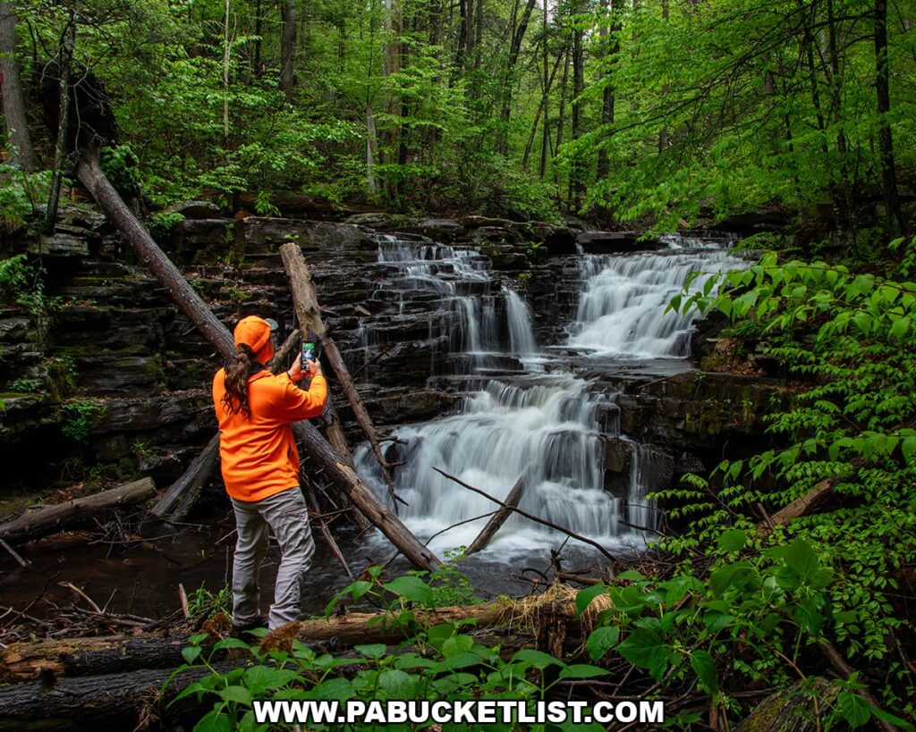
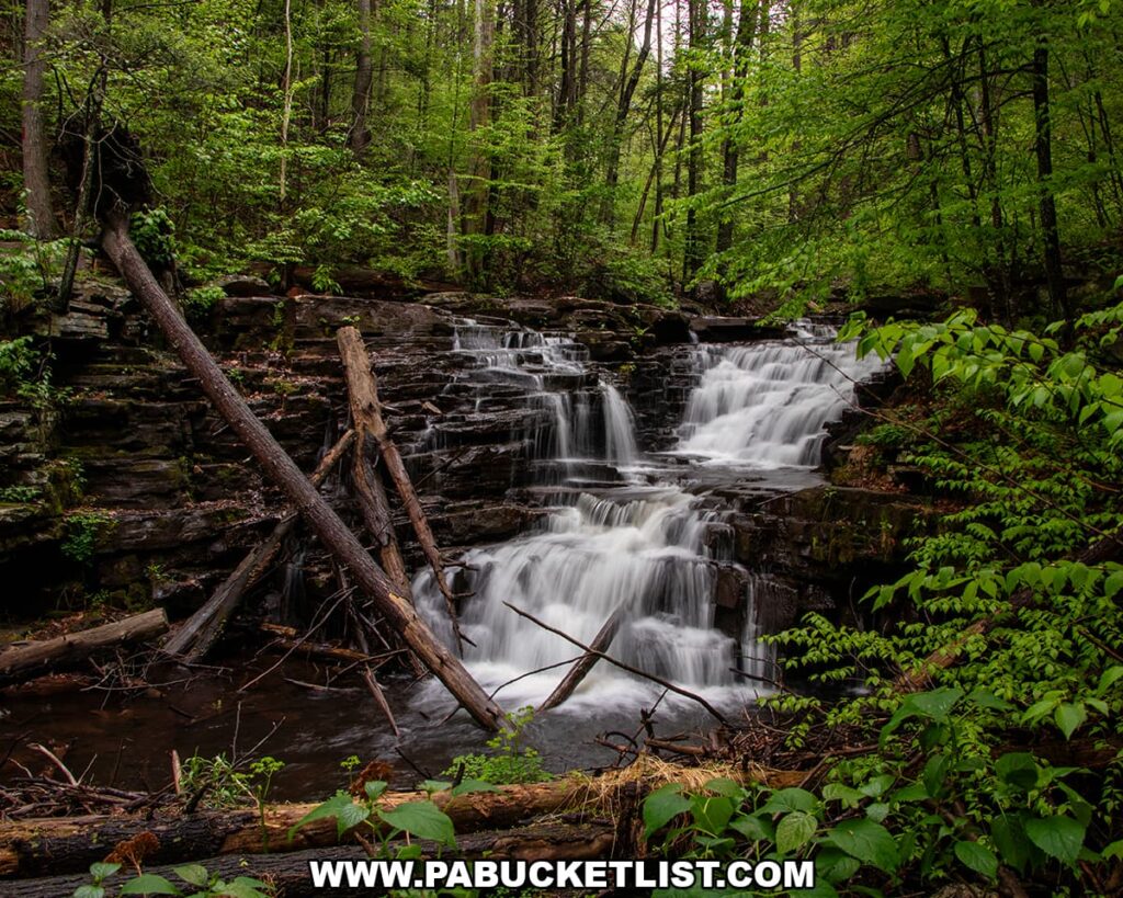
The trail brings you out at the top of the falls, which is a nice vantage point, but not the best one for photography.
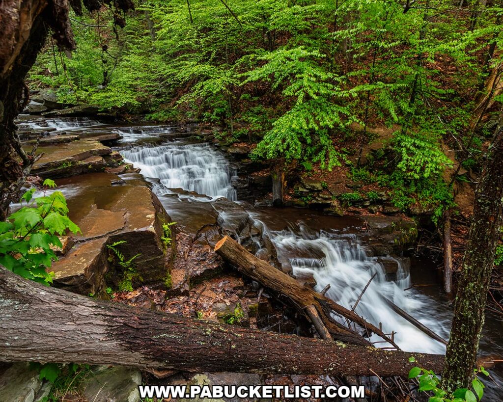
To get below the falls, you’ll need to carefully cross the flat rocks which form the top of the falls and scamper down the bank to stream level.
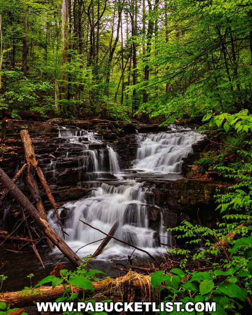
From below, you’ll have an excellent view of Jarrett Falls.
On this early May visit, the area had just received an inch of rain, creating ideal conditions for both the waterfall and the vibrant spring greenery.
When you’ve had your fill of Jarrett Falls, simply retrace your 1.7-mile route back to the parking area at Meadow Grounds Lake.
Final Thoughts
The remoteness of Jarrett Falls, combined with scenic wet crossings, rugged forest terrain, and the beauty of the waterfall itself, makes this a rewarding adventure for experienced hikers seeking something off the beaten path.
Nearby Attractions
10 Must-See Attractions in Fulton County showcases more remarkable sights and experiences near Jarrett Falls.
Related Attractions
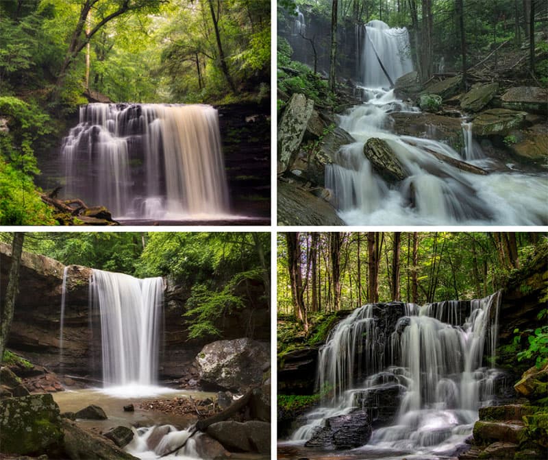
20 Must-See Pennsylvania Waterfalls highlights 20 incredible cascades across the state, each one personally visited and photographed by me during decades of exploring the Keystone State.
A Smarter Way to Explore Pennsylvania
Explore Pennsylvania like a pro with the interactive PA Bucket List Travel Map, showcasing over 1,000 memorable destinations I’ve personally visited across the Keystone State.
Did you enjoy this article?
If so, be sure to like and follow PA Bucket List on Facebook, Instagram, and/or Pinterest to learn more about the best things to see and do in Pennsylvania!
Click on any of the icons below to get connected to PA Bucket List on social media.