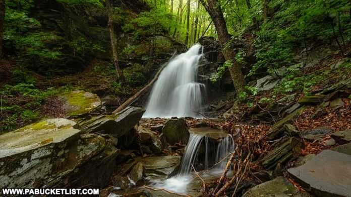
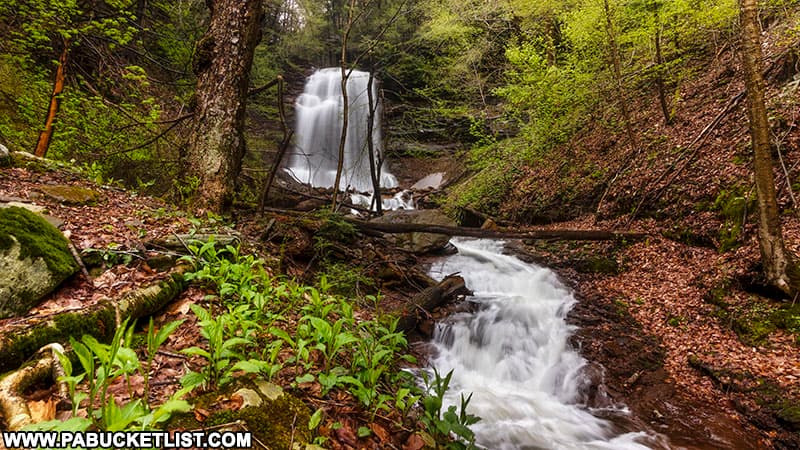
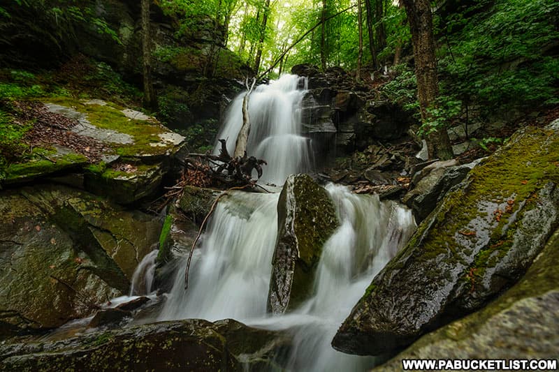
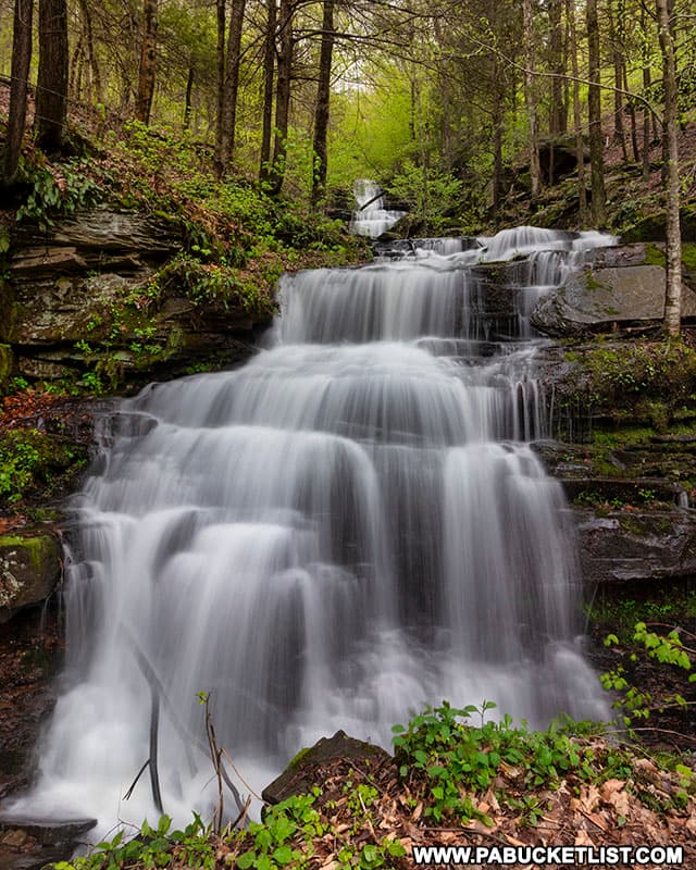
Thomas Run Falls is a marvelous 20 foot-tall waterfall on State Game Lands 12 in Bradford County.
Located 2 miles west of the ghost town of Laquin, Thomas Run Falls is a nearby-neighbor to the trio of waterfalls located along the Bradford Falls Trail, just a few miles east on State Game Lands 36.
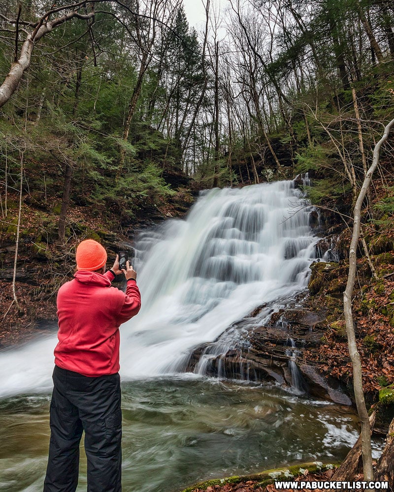
As with any hike on State Game Lands, be sure to observe the PA Game Commission’s blaze orange clothing requirements relevant to the time of year you are visiting.
How to Find Thomas Run Falls
The hike to Thomas Run Falls is simple enough – follow a flat, gravel game lands road for two miles, then hike off-trail up Thomas Run for a third of a mile to the falls themselves.
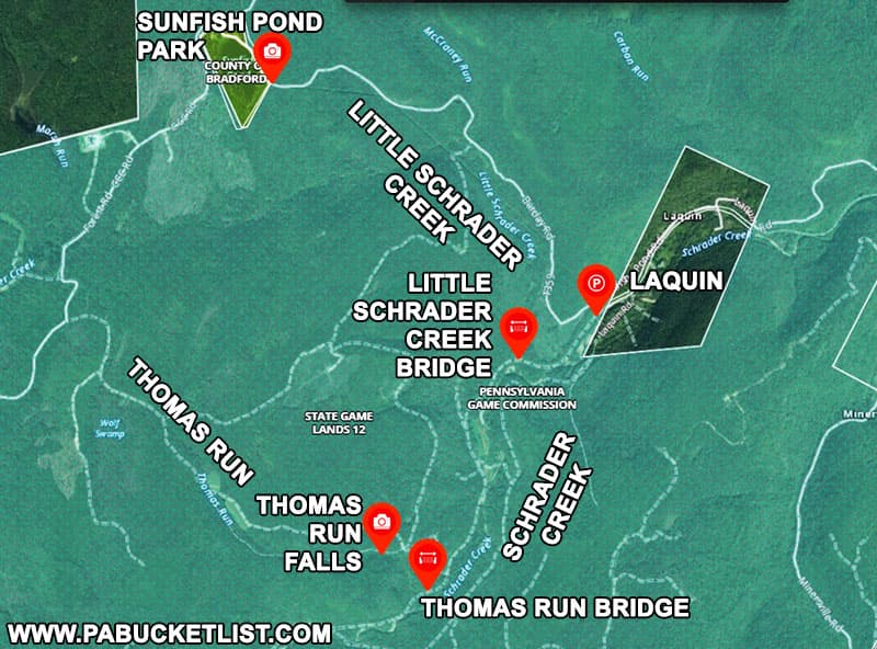
The parking area for the Thomas Run Falls hike is located at GPS coordinates 41.62444, -76.65978.
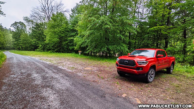
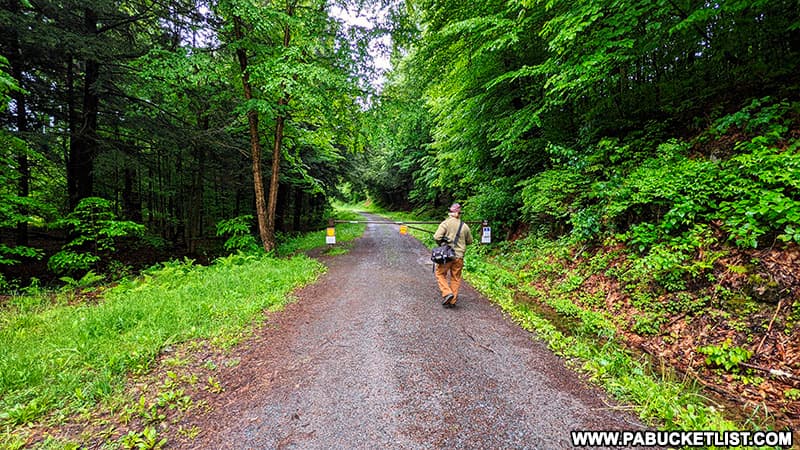
From the parking area, head west towards and around a game commission gate.
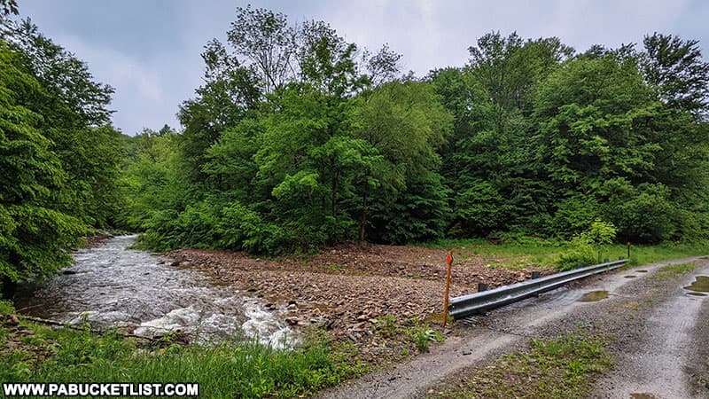
A half-mile into the journey, you’ll cross over Little Schrader Creek Bridge – remember this spot as I’ll mention it again at the end of this write-up.
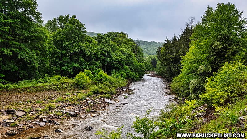
For the next mile and a half, you’ll be following the gravel road (a former railroad bed in the days of Laquin) as it runs parallel to the picturesque Schrader Creek.
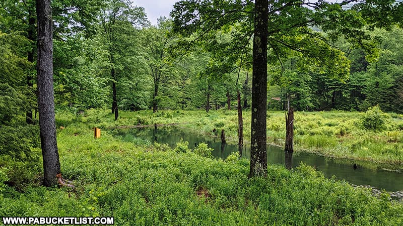
Along the way you’ll pass many a photogenic scenes, including this beaver pond.
The forest floor along the road is also home to many massive beds of fern, which are always worth a photo or two.

You’ll know you’ve reached Thomas Run when you see the old iron railroad bridge pictured below.
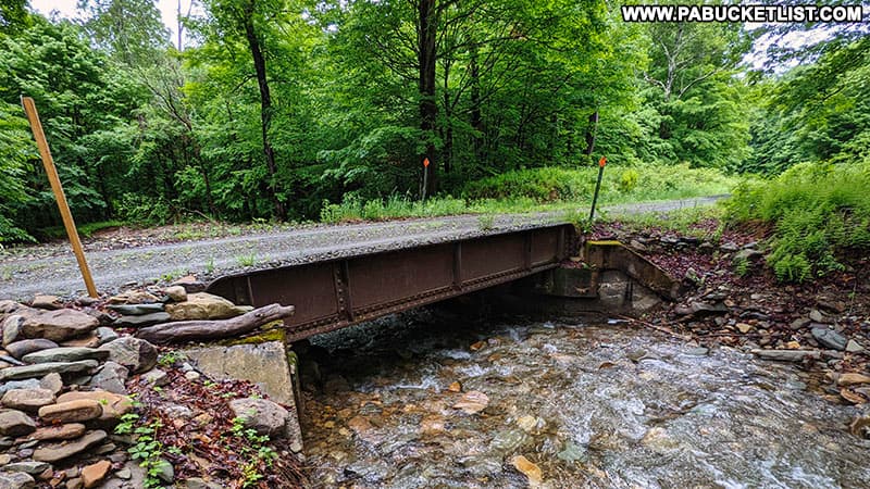
If you’re navigating by GPS, the Thomas Run Bridge is located at 41.60324, -76.67717.
Hiking Up Thomas Run
Crossing over the Thomas Run Bridge, look for the remnants of an old road (now looking more like a grassy meadow) and follow it up the left side of Thomas Run (the left side when facing upstream).
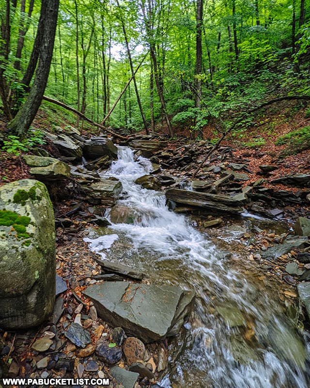
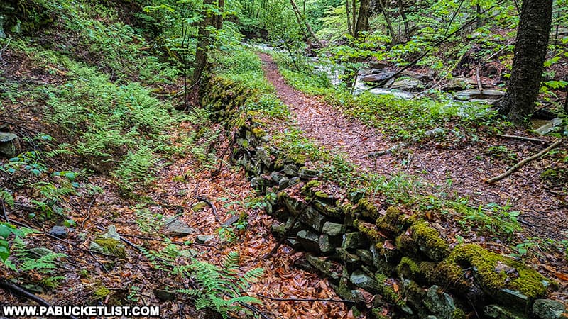
A quarter mile upstream, you’ll encounter a wonderfully-intact stacked-stone bridge abutment.
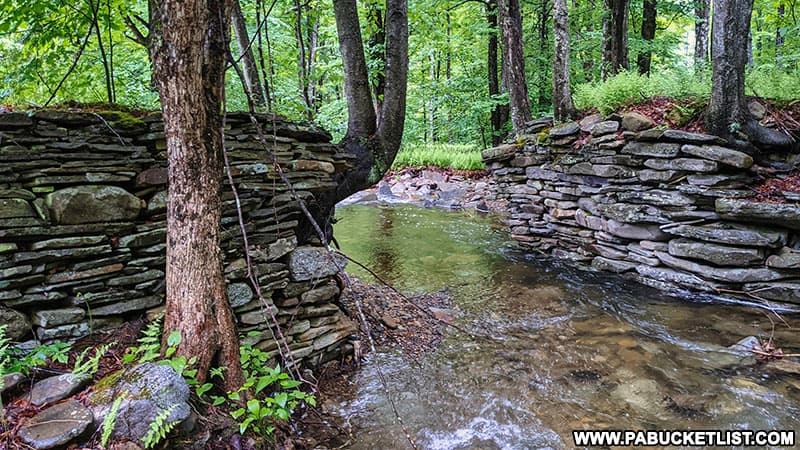
Continue up the left side of Thomas Run another few hundred yards, and Thomas Run Falls will come into view.
Photographing Thomas Run Falls
Thomas Run Falls is most easily photographed from the right side, meaning you’ll want to cross over the stream somewhere immediately below the falls.
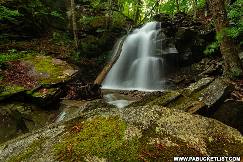
Keep your eyes open for the remnants of a prior industrial age in this area, for what looks untouched by man now was at one time stripped bare of trees to feed the lumber mills in Laquin.
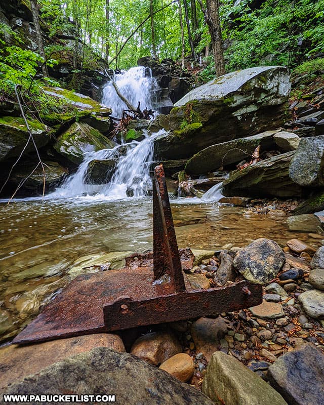
A graceful view of the falls is available on the right side of Thomas Run.
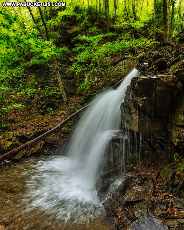
Even up-close, Thomas Run Falls is a cooperative subject, with the spray coming off of it tending to shoot off to the left, away from the photographer in front of it.
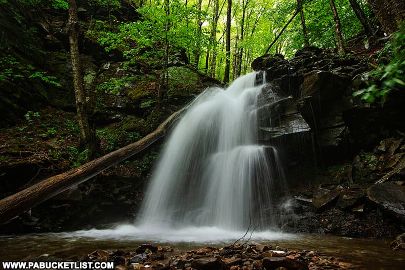
There is hardly a rock in the vicinity of Thomas Run Falls that ISN”T covered by lush green moss.
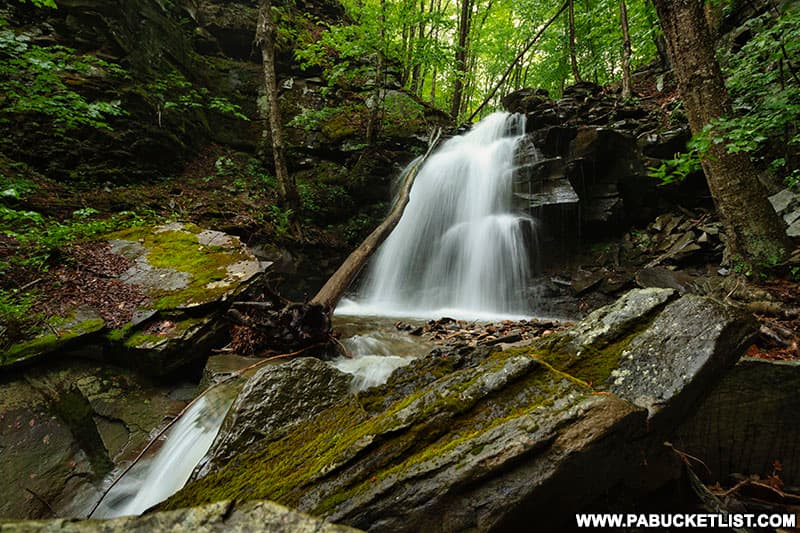
When you’ve had your fill of Thomas Run Falls, simply backtrack downstream to the gravel road, and retrace your steps east towards the parking area at Laquin.
Exploring Little Schrader Creek
A half-mile before reaching your vehicle, you’ll once again find yourself at Little Schrader Creek Bridge.
If you wish to explore another dazzling mountain stream replete with incredible rock formations, hike up the left side of Little Schrader Creek and pick up the obvious (though unblazed) user trail.
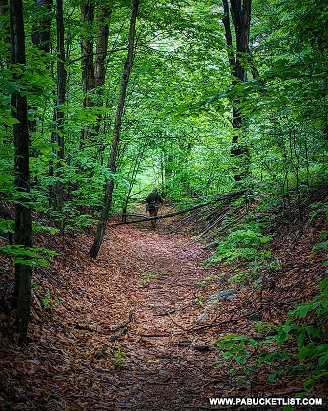
As with the hike up Thomas Run, you’ll encounter stacked-stone evidence of of an industrial age gone by, now being swallowed up by the Earth.
The hike up Little Schrader Creek is certainly reminiscent of scenes encountered along the more well-known Rock Run in Lycoming County.
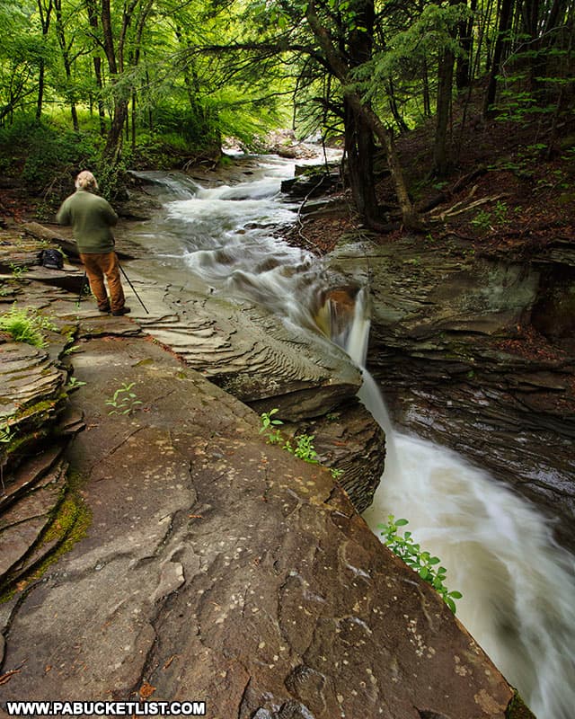
And while I’ve seen references to “waterfalls” along Little Schrader Creek published elsewhere, you’d have to be defining the term “waterfall” very loosely to agree, although there are some exceptionally beautiful rapids and twisting chasms in this creek gorge.
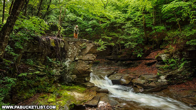
To me, the real highlights of this side-hike are the rock formations along Little Schrader Creek.
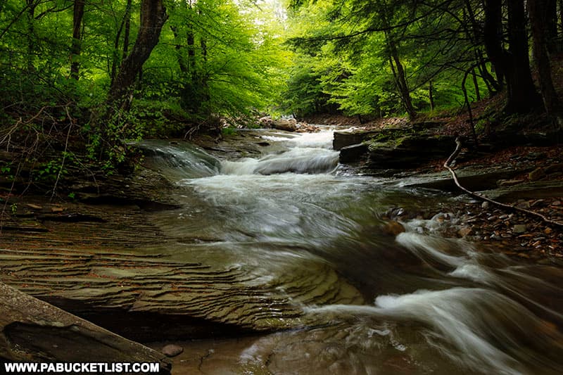
When you’ve seen enough of Little Schrader Creek, simply retrace your steps back downstream to the gravel road and complete the hike to the parking area at Laquin.
Still not convinced you need to visit Thomas Run Falls?
Then check out this video!
Nearby Attractions
As mentioned earlier, the Bradford Falls Trail on neighboring State Game Lands 36 is home to three waterfalls, including Bradford Falls, one of the tallest in Pennsylvania!
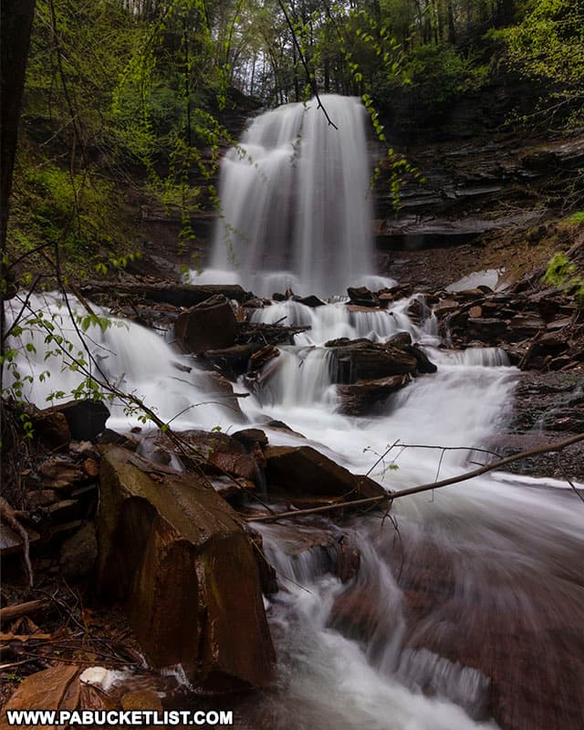
Deep Hollow Falls is yet another excellent waterfall on State Game Lands 36, this one along an old road grade just a short hike from a roadside pull-off along Deep Hollow Road.
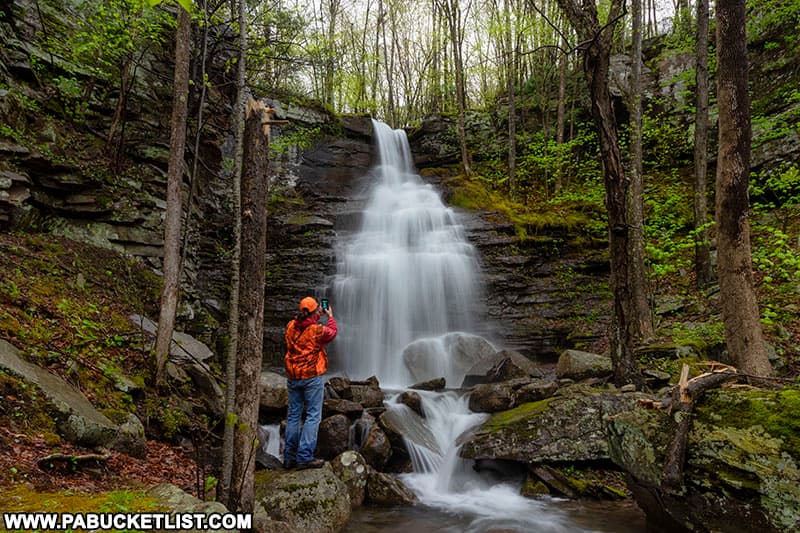
If you’re looking for an easy-to-reach waterfall in Bradford County, it doesn’t get any easier than Holcomb Falls, located roadside along Leroy Mountain Road.
If you’re looking for someting a bit more challenging, then be sure to check out my McIntyre Wild Area Waterfalls Guide, with directions to more than a dozen rugged waterfalls located off-trail and just south, in the Loyalsock State Forest.
The Ultimate Pennsylvania Waterfalls Guide is your source for directions to HUNDREDS of waterfalls across the Keystone State!

Did you enjoy this article?
If so, be sure to like and follow PA Bucket List on Facebook, Instagram, and/or Pinterest to stay up-to-date on my latest write-ups about the best things to see and do in Pennsylvania.
Click on any of the icons below to get connected to PA Bucket List on social media!


