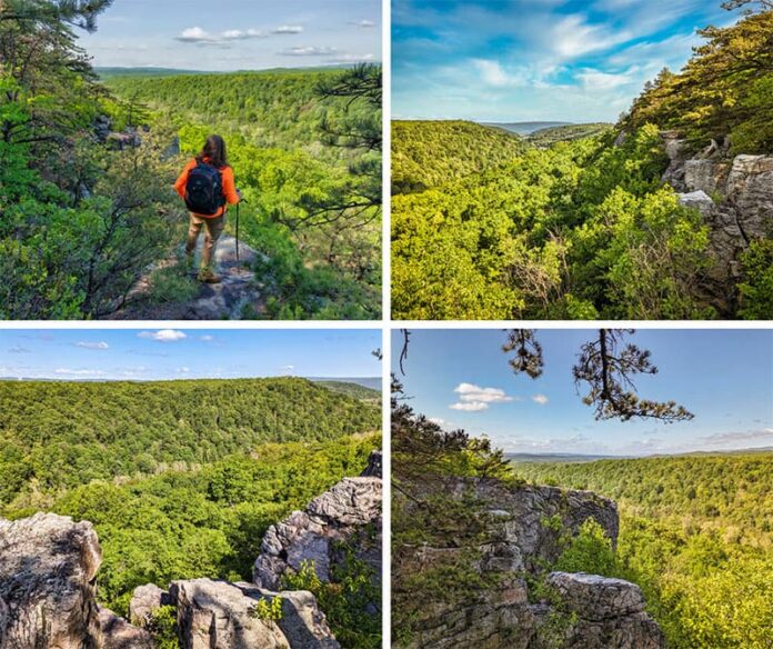
If you’re looking for directions to the Cliffs Trail in Huntingdon County, you’re in the right place!
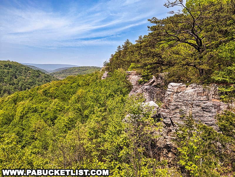
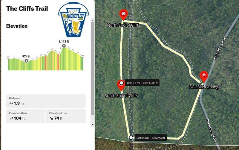
The Cliffs Trail is a 1.3 mile loop hike featuring several exceptional vistas from the rocky cliffs high above the Juniata River.
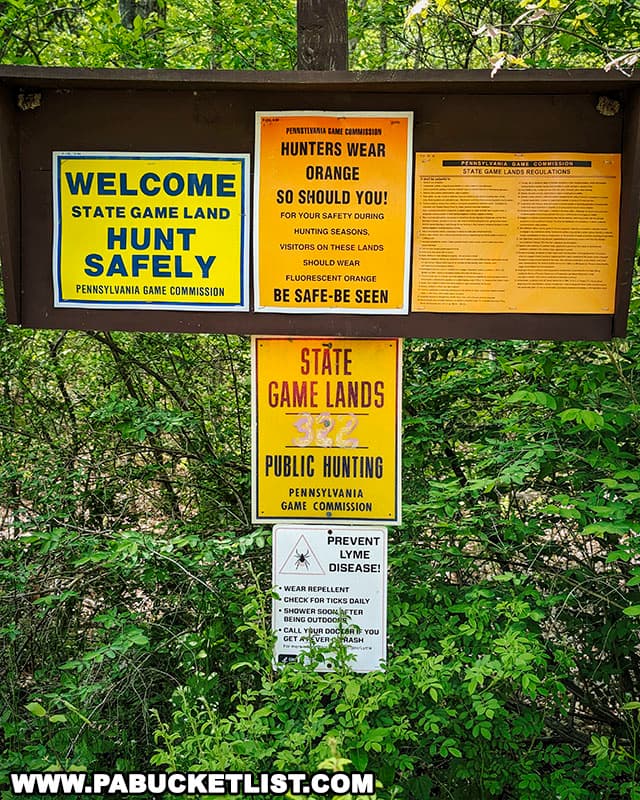
The entire hike takes place on State Game Lands 322, just a mile north of the borough of Huntingdon.
Where to Park When Hiking the Cliffs Trail
The parking area for the Cliffs Trail hike is located along the Petersburg Pike, and the lot is large enough to accommodate at least a dozen vehicles comfortably.

If navigating by GPS, use coordinates 40.52252, -78.01659 to find the parking area along the west side of the road.
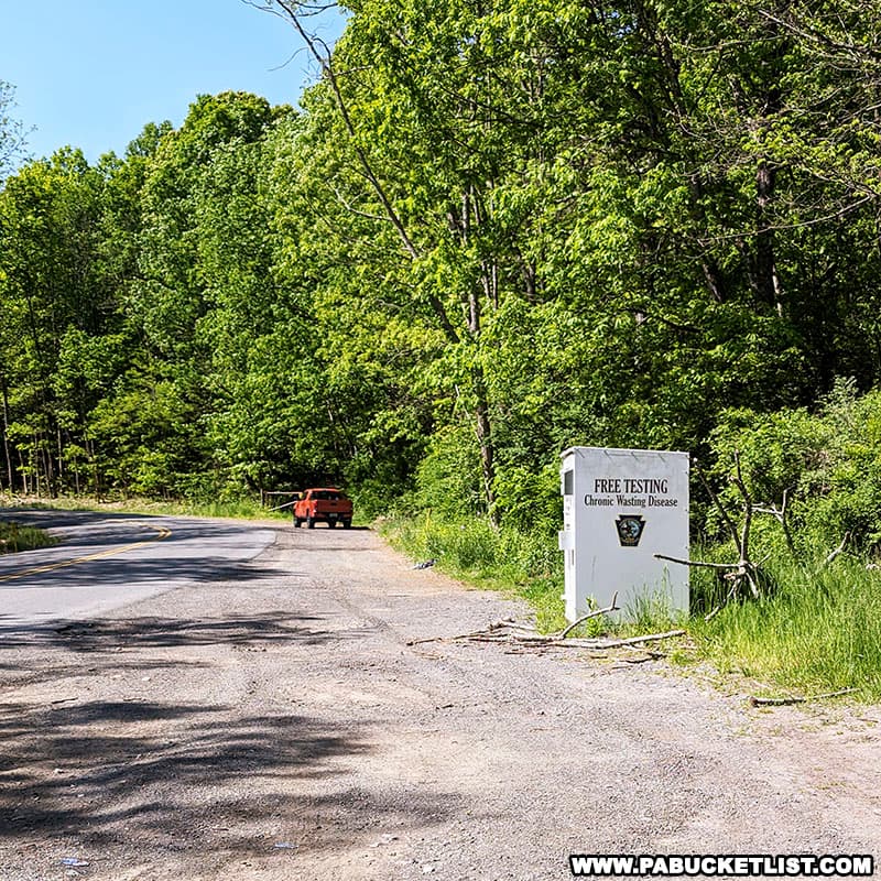
Hiking the Cliffs Trail near Huntingdon
I’m going to describe this hike going in a clockwise fashion, but as it’s a loop hike, you could hike it counterclockwise and enjoy the excursion all the same.

The hike begins at a gated forest road at the southern end of the parking lot.
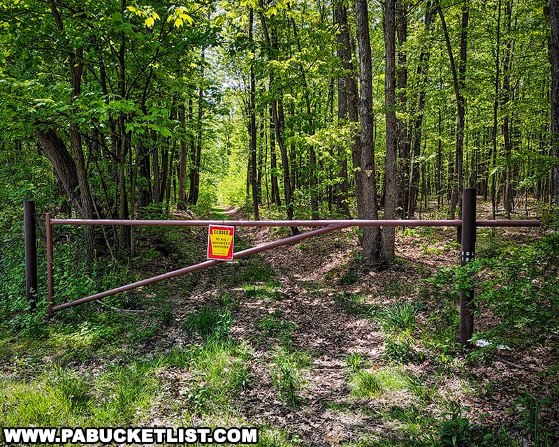
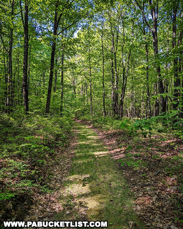
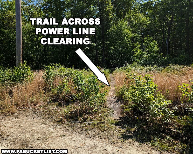
Go around the gate and follow the relatively flat, grass-covered road for 0.4 miles until you come to a power line clearing.
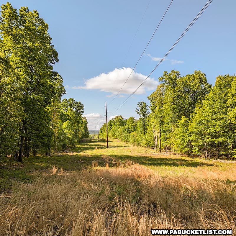
Cross the power line clearing and continue into the forest on the opposite (west side).
Just after entering the forest on the west side of the power line clearing, you’ll want to follow the trail that continues straight, NOT the wider trail that veers right and runs parallel to the power line clearing.
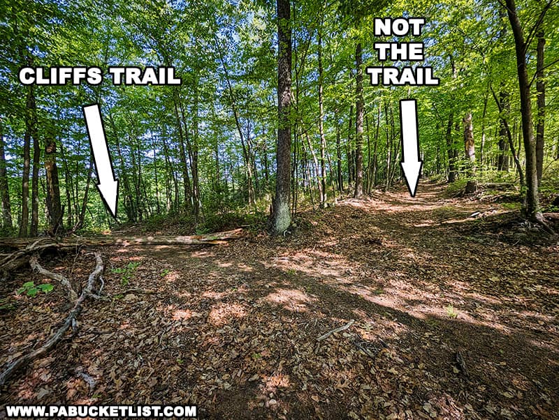
Shortly after passing the intersection above, the Cliffs Trail will veer right (north) and turn into a narrower single track as you begin the portion of the hike along the cliffs themselves.
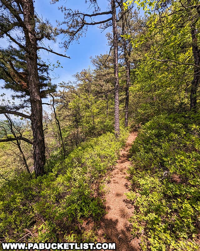
At GPS coordinates 40.52205, -78.02259 you’ll reach the southernmost portion of the cliff overlooks, roughly 300 yards from where the Cliffs Trail veered north.
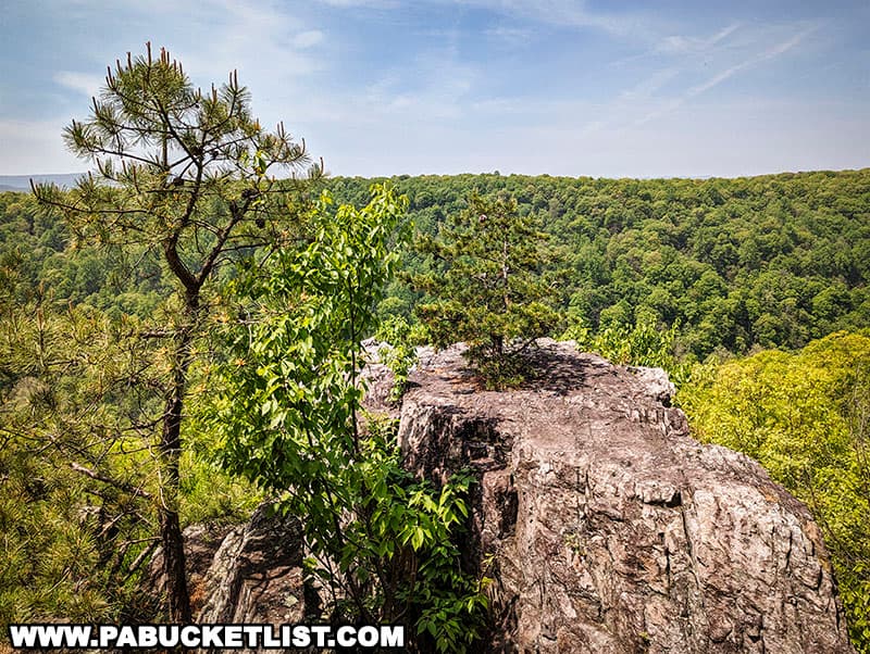
Exploring the Cliffs Trail Vistas
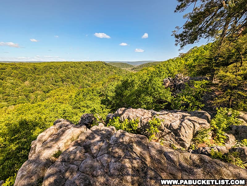
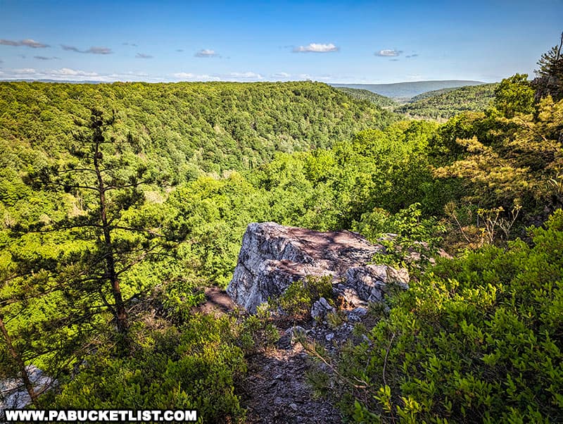
There are at least a half-dozen vistas along the cliffs above the Juniata River (which you cannot see when the leaves are on the trees).
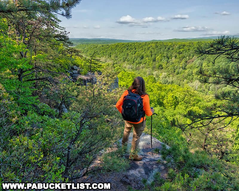
From the southernmost vista, you have a nice view into the borough of Huntingdon itself.
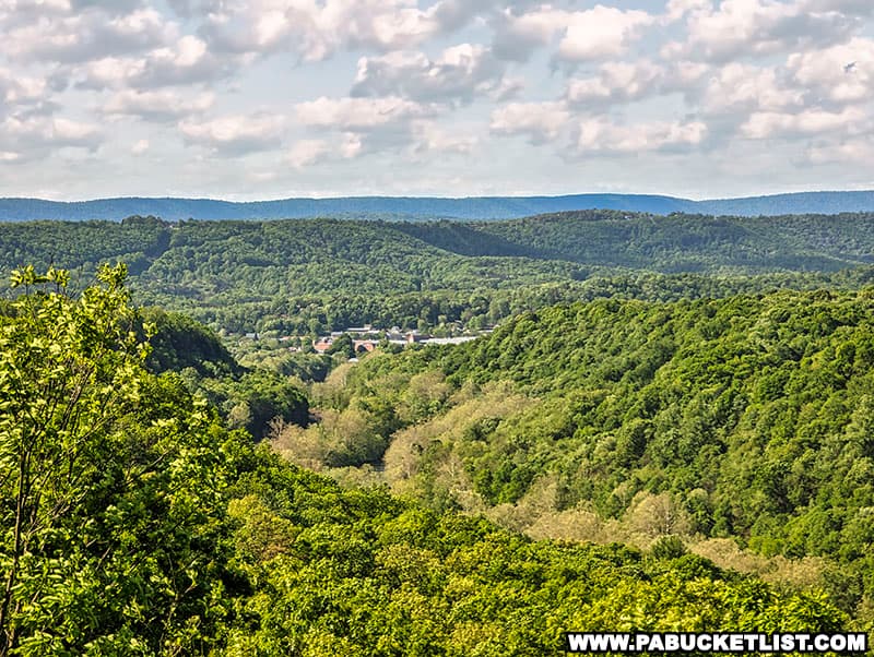
Those half-dozen vistas are spread out over a stretch of cliffs spanning nearly 500 yards.
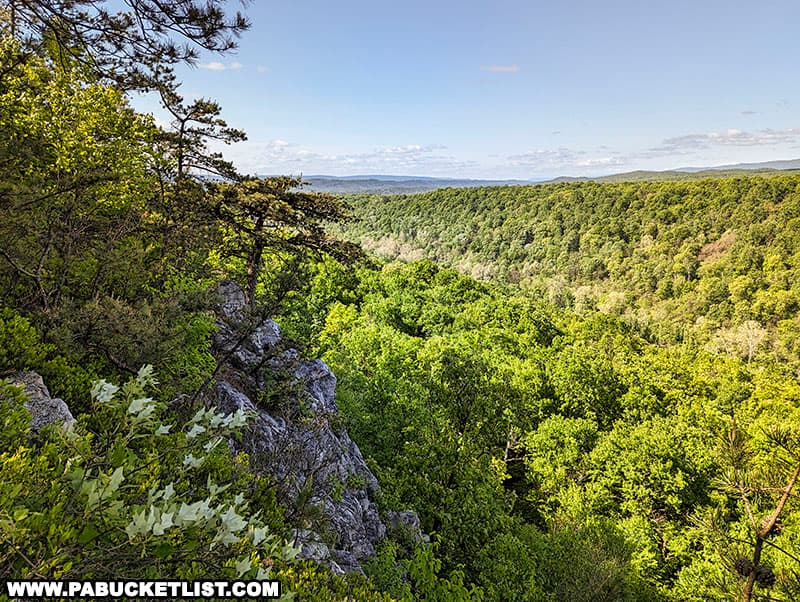
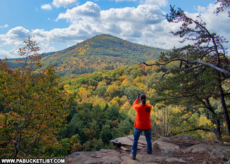
The most picturesque views are to the north and south.
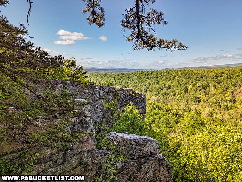
Not that the views to the west, parallel to to the cliffs, are unattractive.
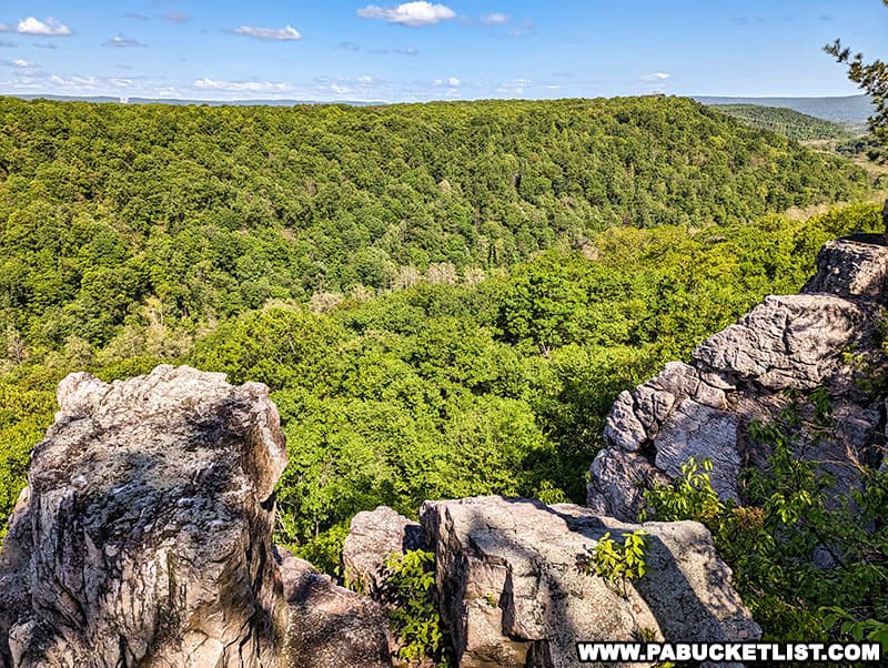
In addition to the views, you’re quite likely to hear trains passing by on the tracks that run along the river banks below – like the river, you can’t see them with the leaves on the trees.
When you reach the northern end of the cliffs (at GPS coordinates 40.52589, -78.02239), simply follow the well-worn but unblazed trail back across the power line clearing and through the forest to the parking area along the Petersburg Pike.
For a relatively short, easy-to-access trail with impressive views, check out the Cliffs Trail next time you find yourself near Huntingdon, PA!
Nearby Attractions
20 Must-See Attractions in Huntingdon County is your guide to even more great things to see and do near the Cliffs Trail.
29 Must-See Attractions in Centre County is your guide to the best things to see and do in Huntingdon County’s neighbor to the north.

9 Must-See Attractions in Fulton County is your guide to the best things to see and do in Huntingdon County’s neighbor to the south.

16 Must-See Attractions in Blair County is your guide to the best things to see and do in Huntingdon County’s neighbor to the west.
Did you enjoy this article?
If so, be sure to like and follow PA Bucket List on Facebook, Instagram, and/or Pinterest to learn more about the best things to see and do in Pennsylvania!
Click on any of the icons below to get connected to PA Bucket List on social media.


