
If you’re looking for directions to Kyler Fork Falls in the Sproul State Forest, you’re in the right place!
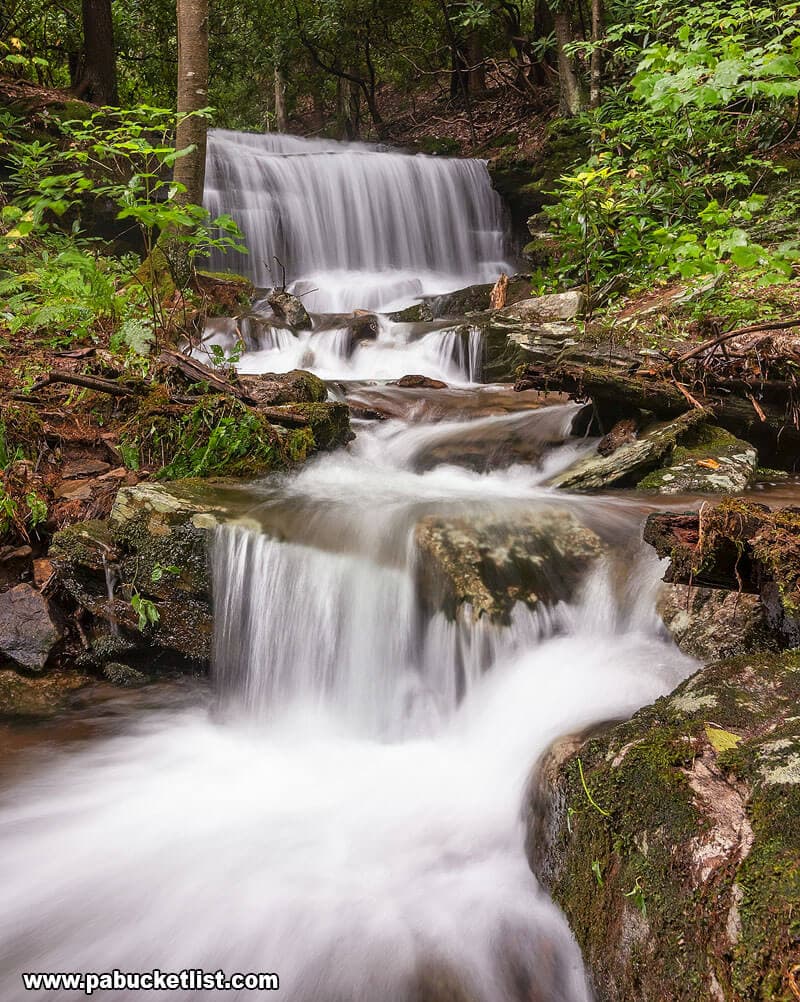
Kyler Fork Falls is the second-tallest waterfall in Centre County, located just 300 yards from THE tallest waterfall in Centre County, Yost Run Falls.
Finding the Parking Area
The parking lot for the hike to Kyler Fork Falls can be found just off of Route 144 at GPS coordinates: 41.175155, -77.879025.
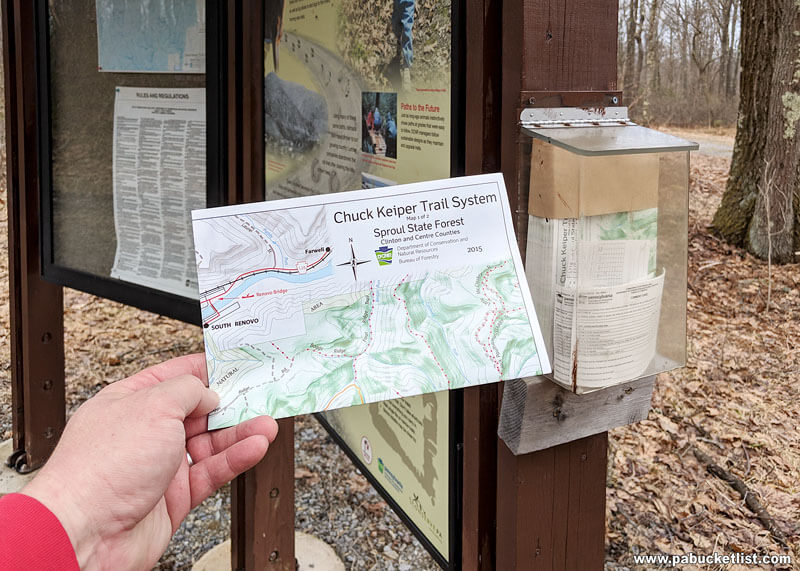
As you approach the parking area from either the north or south along Route 144 you’ll see the large Chuck Keiper Trail sign pictured below.
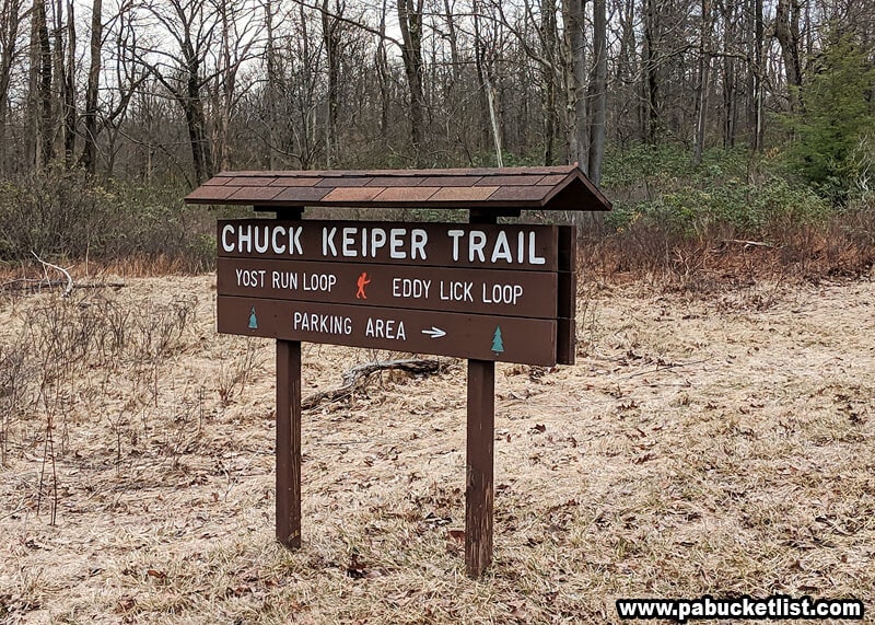
The parking area is located on the opposite side of the road from that sign, approximately 50 yards west of Route 144.
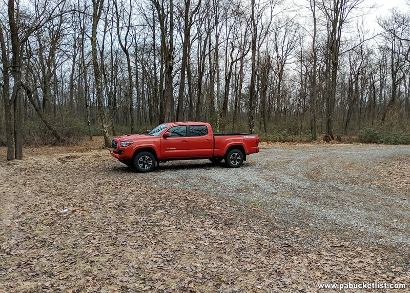
At the back edge of the lot is a kiosk where you can pick up a DCNR map of this section of the Sproul State Forest (if the kiosk is stocked, that is).
Hiking to Kyler Fork Falls
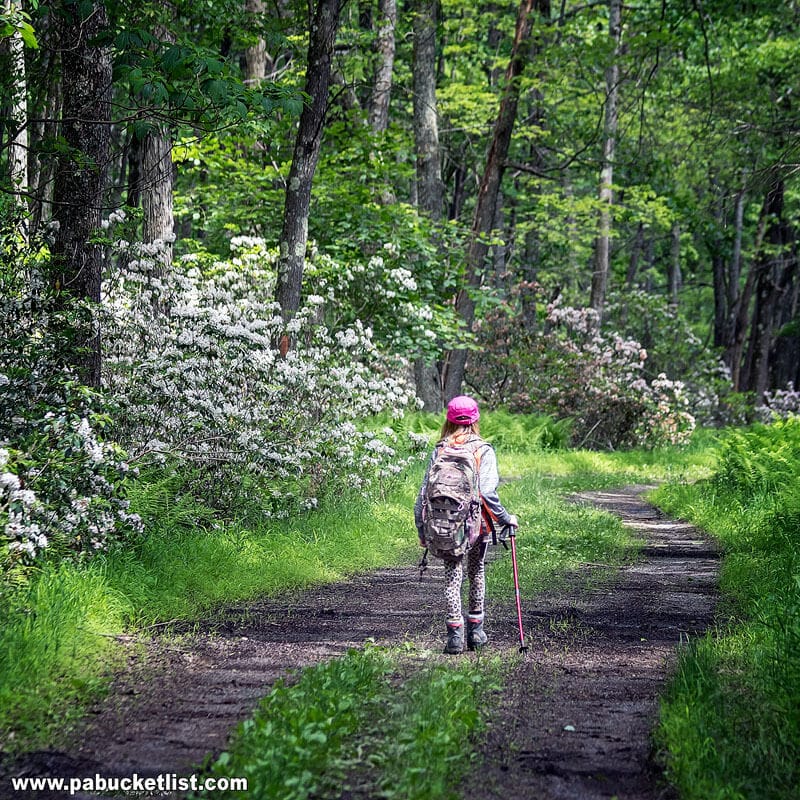
The hike to Kyler Fork Falls covers 1.3 miles from parking lot to the waterfall (roughly 2.6 miles round trip), and utilizes the Yost Run Loop section of the Chuck Keiper Trail.
There is an elevation change of 468 feet along the way – all downhill on the way to the falls, all uphill on the way back if doing this as a simple out-and-back hike.

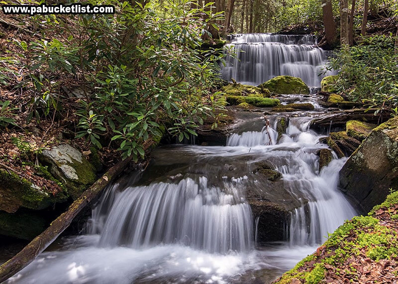
The first 2/3 of the hike follows a forest road, the last 1/3 of the hike follows a more narrow footpath, passing Yost Run Falls as mentioned above.
If navigating by GPS coordinates, you’ll encounter Kyler Fork Falls at 41.17432, -77.90133.

Reaching Kyler Fork Falls from the Chuck Keiper Trail does require a wet crossing (no bridge, wade or rock-hop across) of Yost Run.
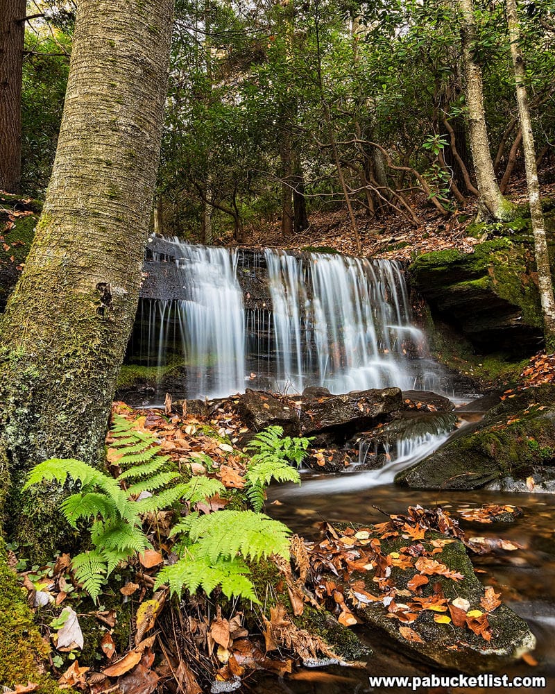
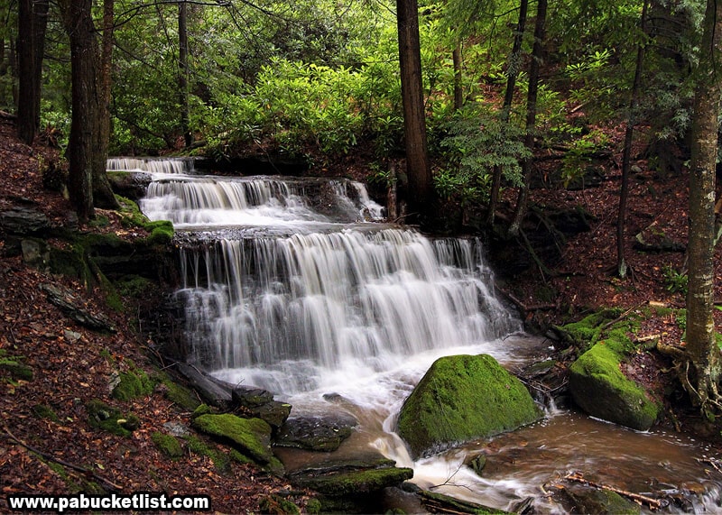
Photographing Kyler Fork Falls
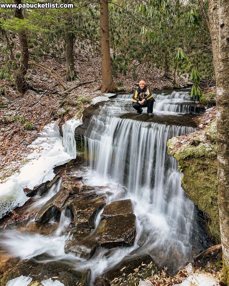
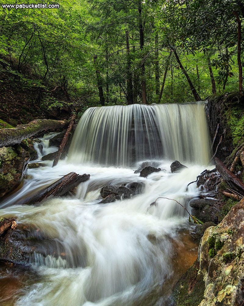
The high water after the spring thaw really makes this one roar!
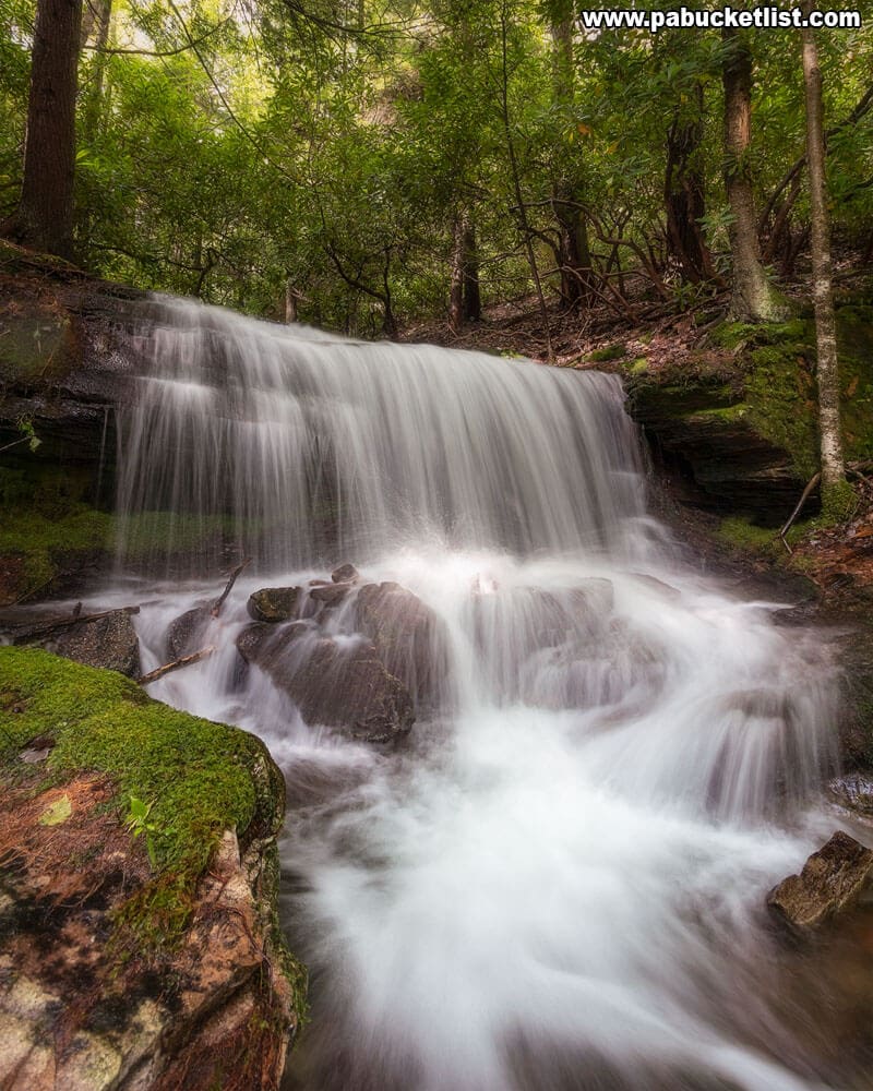
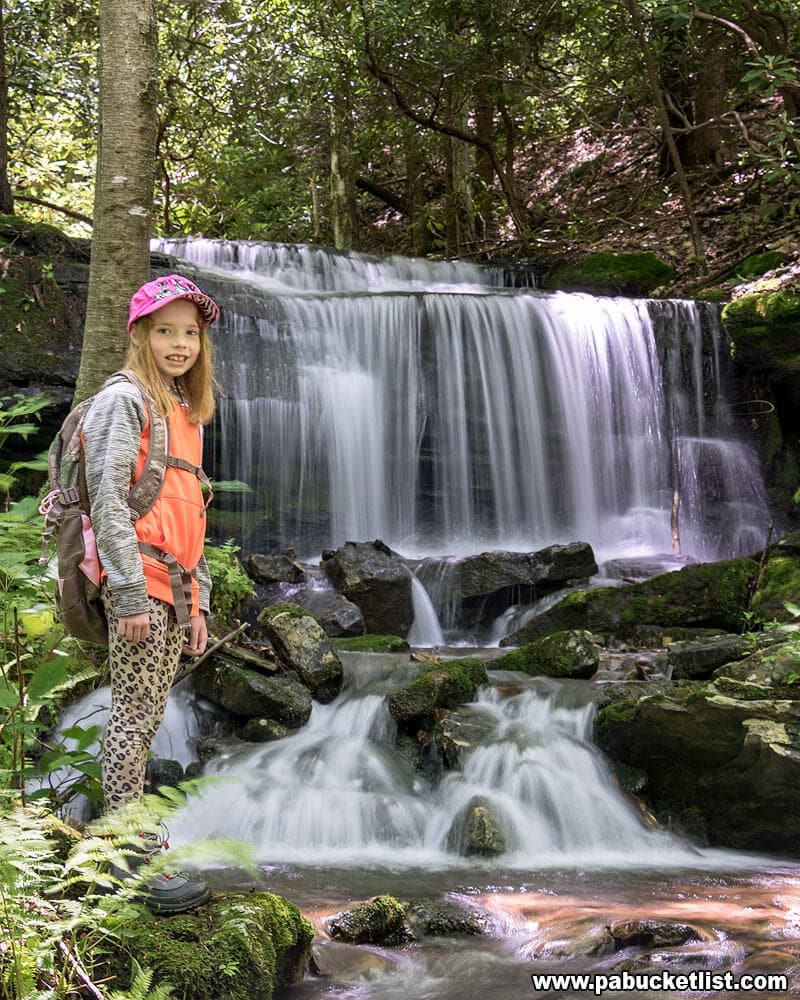
As spring turns to early summer, the ferns open up and the falls are surrounded by verdant greens.
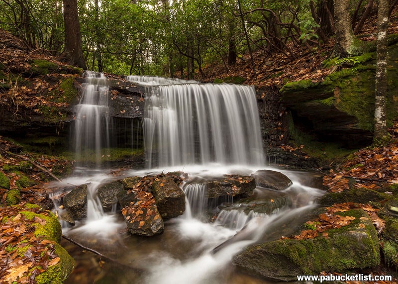
Autumn brings a blanket of colorful foliage to the gorge.
Autumn turns to winter, and the ground in the Sproul State Forest starts to freeze.
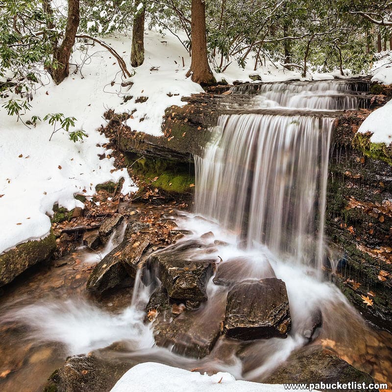
Snow soon dominates the landscape, and then…
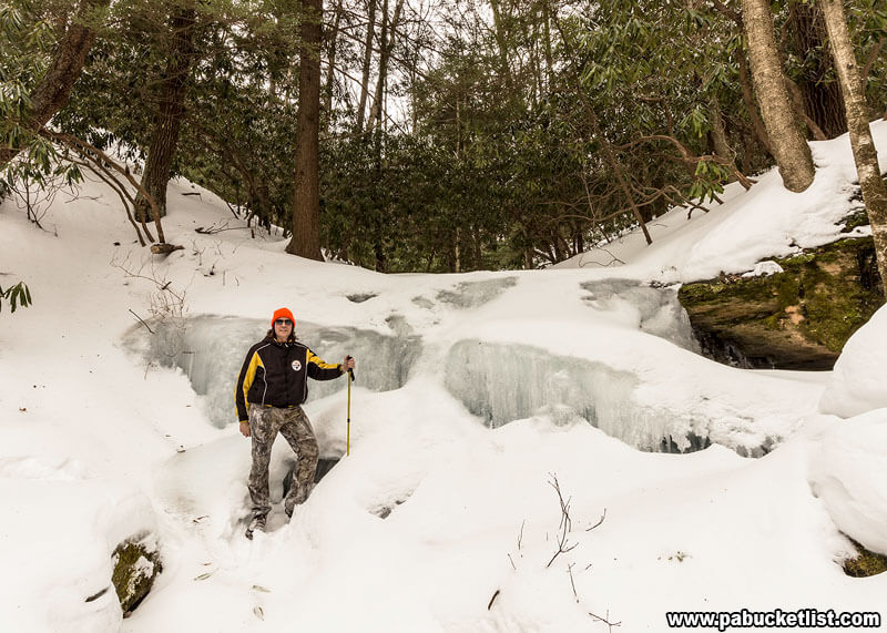
…the falls themselves freeze over.
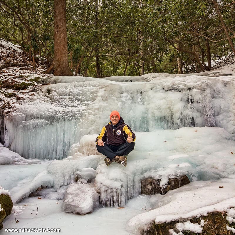
In short – there is no bad time or season to hike to Kyler Fork Falls!
Nearby Attractions
Round Island Run Falls is also located in the Sproul State Forest, in neighboring Clinton County.
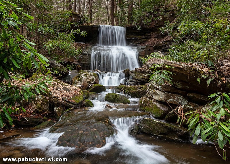
Table Falls is located in the Quehanna Wild Area, a 45 minute drive away in Elk County.
The Ultimate Pennsylvania Waterfalls Guide is your source for directions to HUNDREDS of waterfalls across the Keystone State!

Still not convinced you need to visit Kyler Fork Falls?
Then check out the video below!
Did you enjoy this article?
If so, be sure to like and follow PA Bucket List on Facebook, Instagram, and/or Pinterest to learn more about the best things to see and do in Pennsylvania!
Click on any of the icons below to get connected to PA Bucket List on social media.