
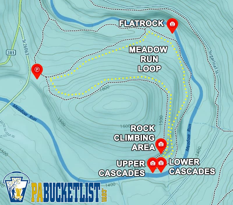
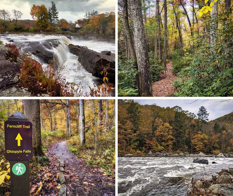
The Meadow Run Trail at Ohiopyle State Park is a 1.85 mile loop hike featuring waterfalls, enormous rock formations, fossils, and all-around gorgeous Laurel Highlands scenery.
Getting There
How to Find the Meadow Run Trail at Ohiopyle State Park
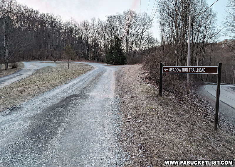
- From Route 381 south of Ohiopyle, turn onto Dinnerbell Road.
Look for the Meadow Run Trailhead area sign along Dinnerbell Road and park here.
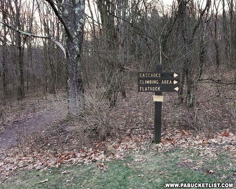
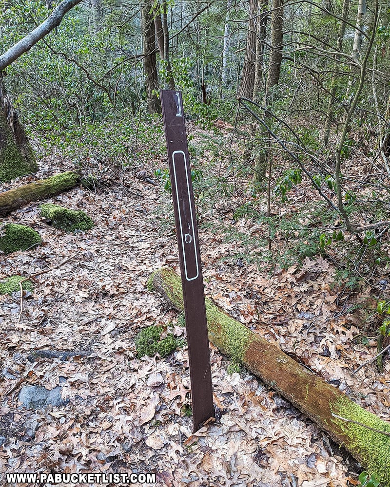
- Look for the trail sign pictured below near the back lower corner of the parking area.
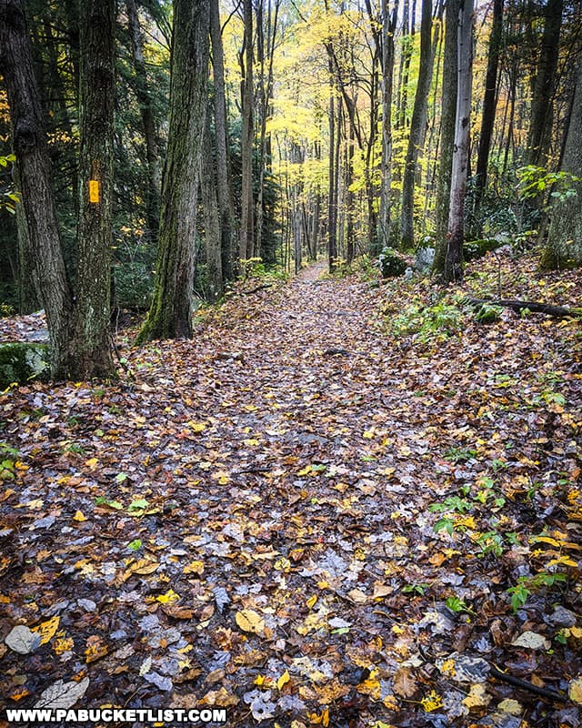
My advice is to follow the trail towards Flatrock, hiking the Meadow Run Trail in a clockwise direction. This makes for a MUCH more pleasant loop hike as you will start and finish you hike going downhill.
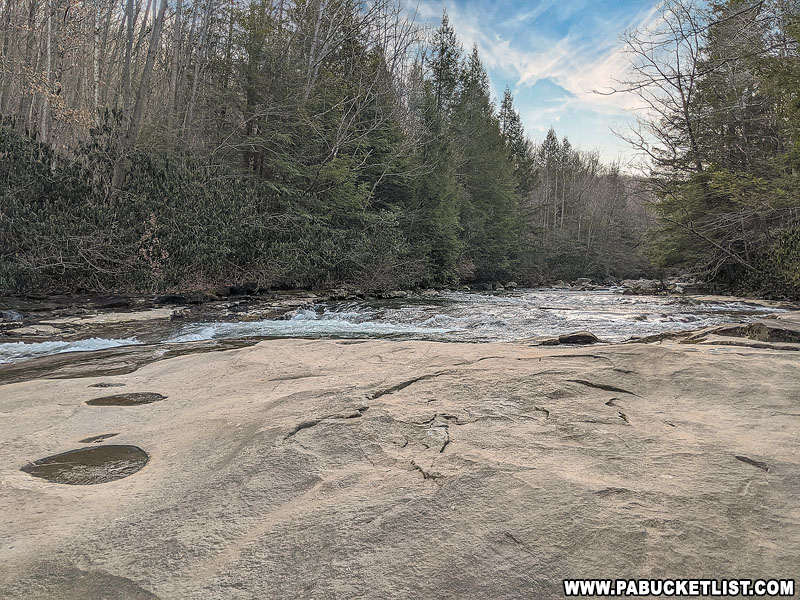
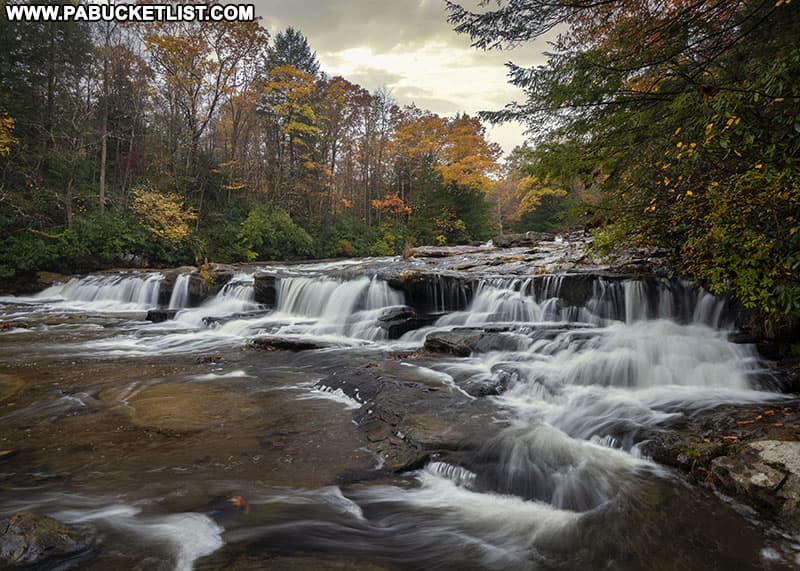
- At 0.48 miles reach Flatrock along Meadow Run.
GPS Coordinates for Flatrock: 39.85553, -79.48925After hiking downhill for roughly half a mile, you’ll encounter this popular spot along Meadow Run.
- Hike upstream along the Meadow Run Trail for 0.55 miles to the Lower Cascades on Meadow Run.
As you reach the Lower Cascades you’ll see the faded sign below along the trail, on your left.
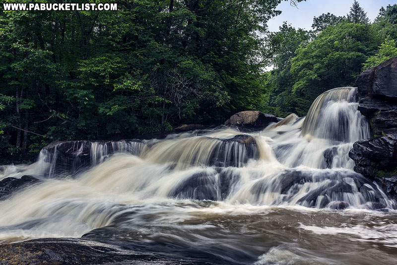
- Arrive at the Lower Cascades on Meadow Run.
GPS Coordinates for the Lower Cascades Falls: 39.84899, -79.48993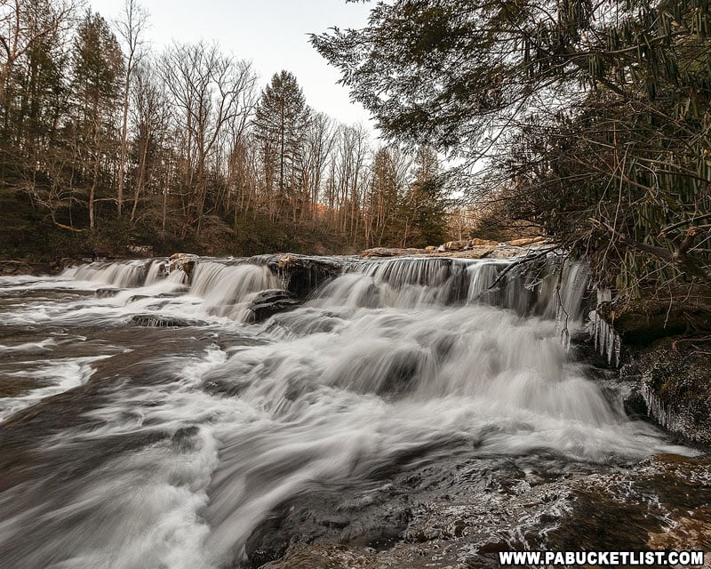
- Proceed up the Meadow Run Trail 0.25 miles to the Upper Cascades.
You’ll see the sign below along the trail.
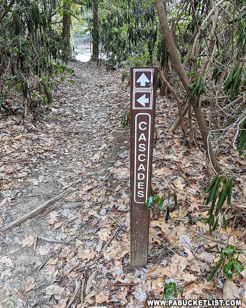
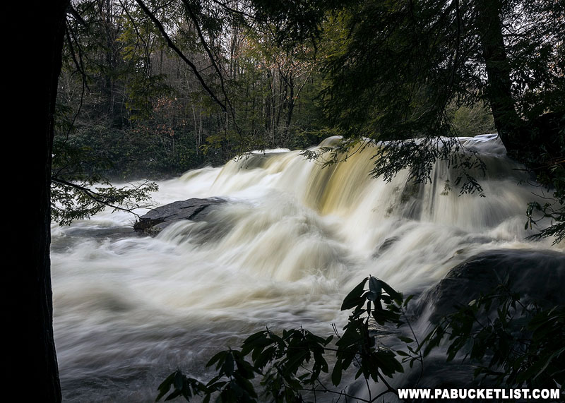
- Arrive at the Upper Cascades on Meadow Run.
GPS Coordinates for the Upper Cascades Falls: 39.84912, -79.49042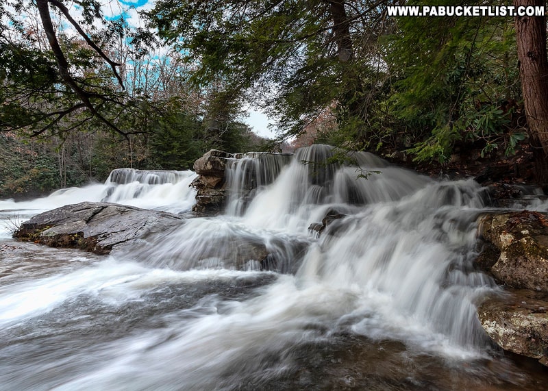
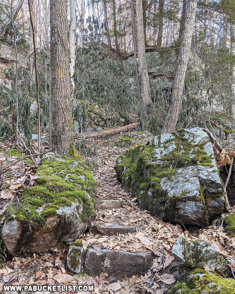
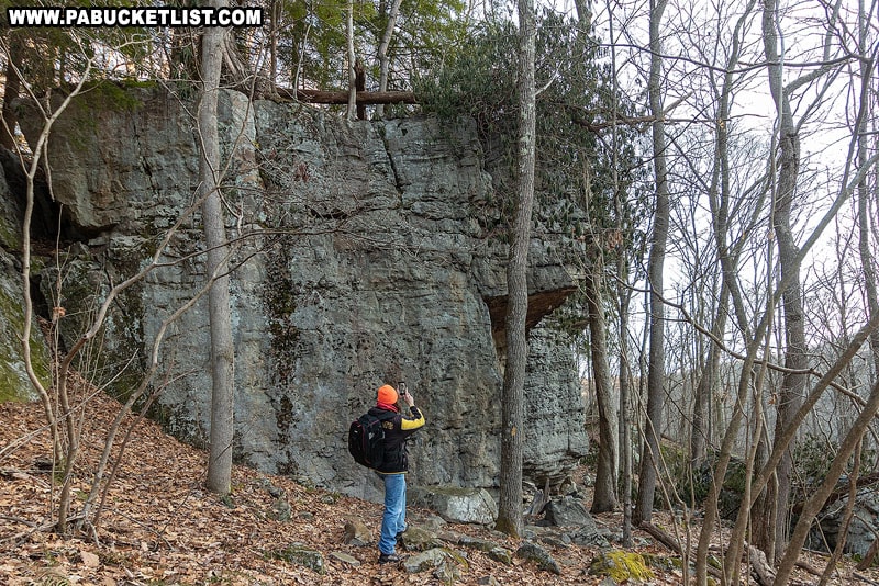
- Continue following the yellow-blazed Meadow Run Trail for approximately 150 yards as it turns sharply right and starts uphill towards the rock climbing area.
- Arrive at the rock climbing area.
GPS Coordinates for the Rock Climbing Area: 39.84989, -79.48992
- Continue past the rock climbing area for 0.7 miles as the trail descends back towards your vehicle, completing the 1.85 mile Meadow Run Loop.
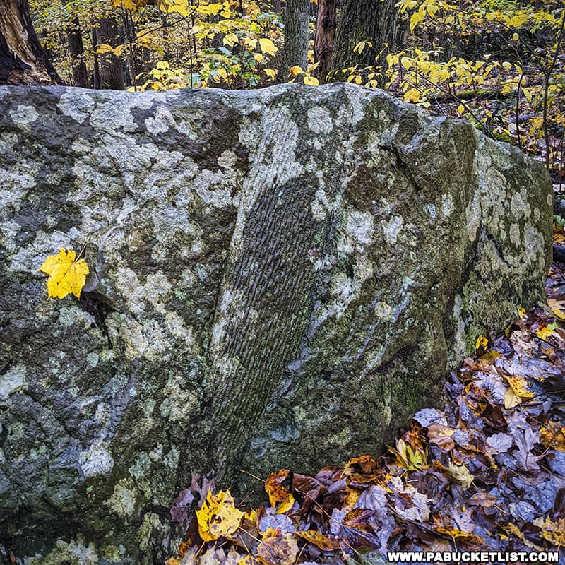
Flatrock along Meadow Run
Flatrock is a popular destination for hikers and fishermen alike.
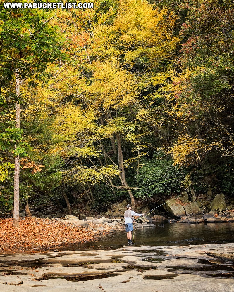
As the name implies, it is a massive flat rock, filled with natural “potholes”.
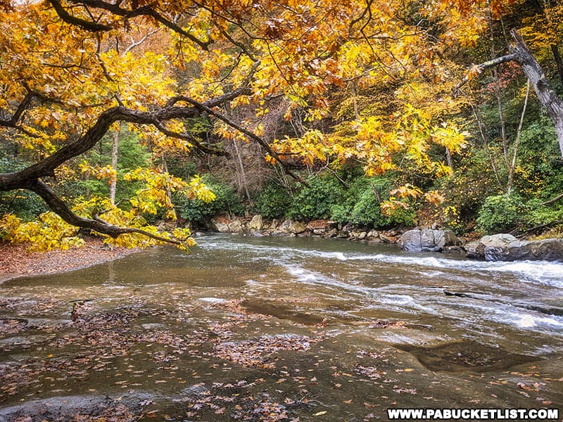
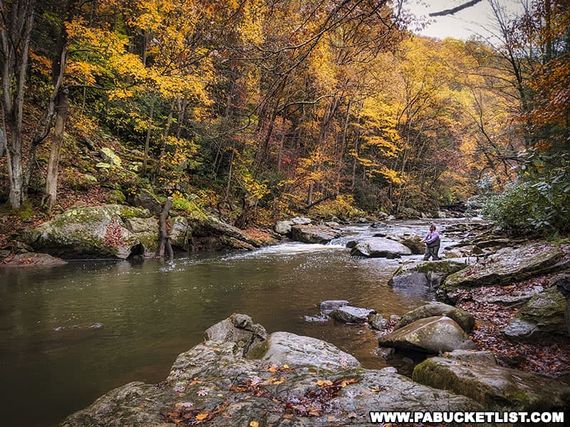
Meadow Run Between Flatrock and the Cascades
Numerous photo-ops exist between Flatrock and the Lower Cascades, as you make your way upstream along the Meadow Run Trail.
This is another reason I like hiking the Meadow Run Loop in a clockwise fashion, as your eyes are always looking upstream.
In my opinion, this makes it easier to spot the “good stuff”.
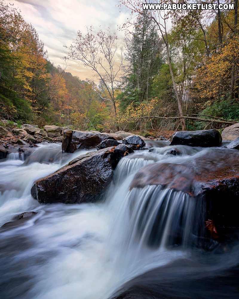
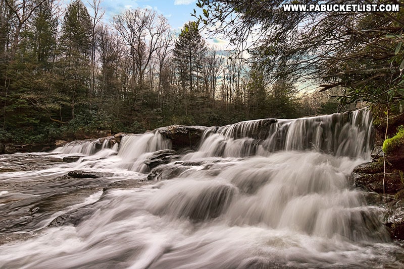
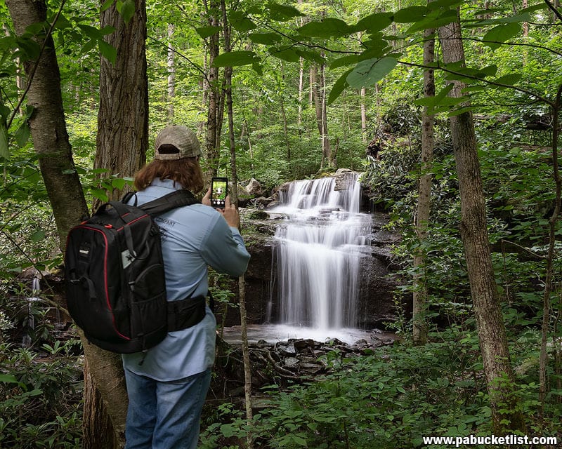
Lower Cascades on Meadow Run
The Lower Cascades have more of the traditional waterfall appearance to them.
When the temperatures are below freezing, small ice formations dangle from the laurel around the falls.
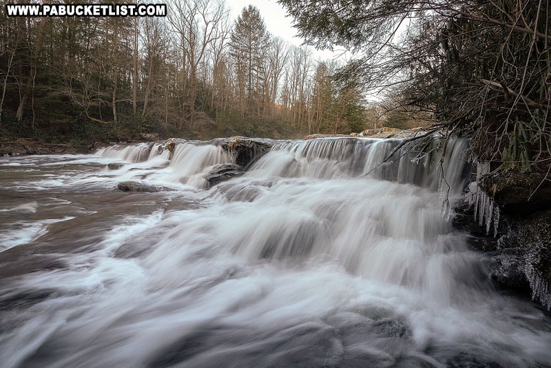
Of course there’s no “bad” season to visit the Lower Cascades Falls.
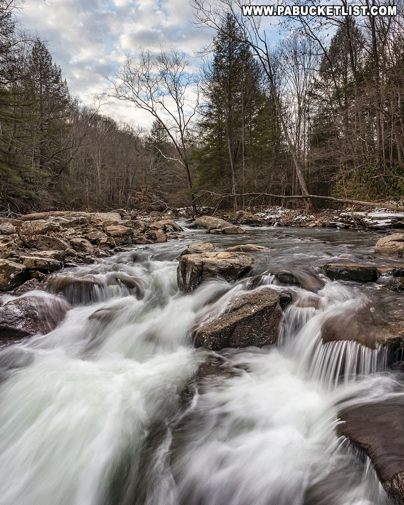
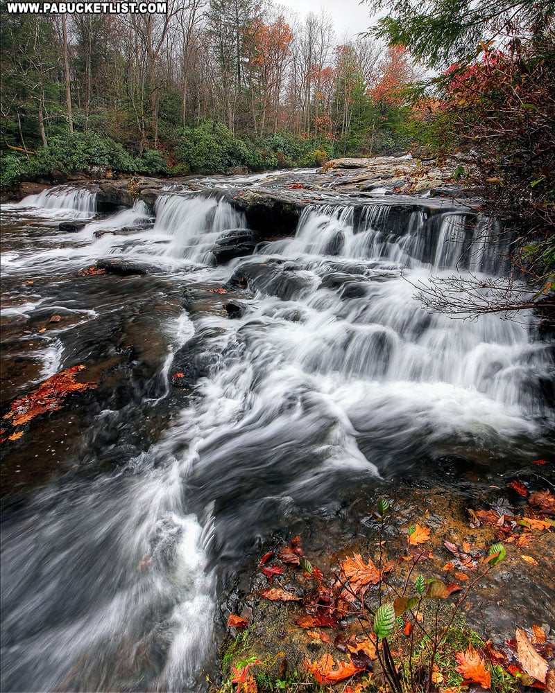
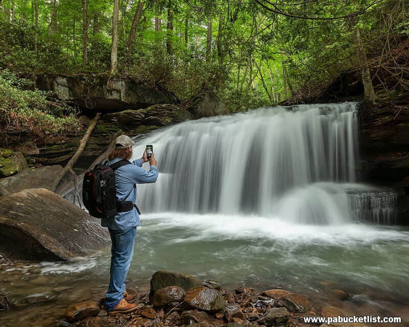
Upper Cascades on Meadow Run
The Upper Cascades are more complex than the Lower Cascades.
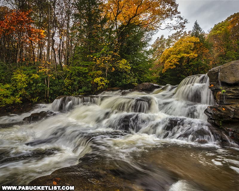
After a hard rain the Upper Cascades swell to raging proportions.
While at other times of year you can easily walk out across the falls to photograph the far side from up close.
Final Thoughts
The Meadow Run Trail features just about everything you could want in a relatively short loop hike.
Waterfalls, rock formations, and all-around gorgeous scenery make this one of the best short hikes at Ohiopyle State Park!
Nearby Attractions
Hiking the Ferncliff Trail at Ohiopyle State Park will introduce you to another fantastic short hike – the 1.8 mile loop hike around the historic Ferncliff Peninsula along the banks of the mighty Youghiogheny River.
10 of the Best Hiking Trails at Ohiopyle State Park will show you even more hiking opportunities inside the confines of the park.
10 Must-See Waterfalls at Ohiopyle State Park will introduce you to the best sights and sounds along the creeks and streams in the park.
Baughman Rock Overlook at Ohiopyle State Park is one of the finest scenic overlooks in the Laurel Highlands.

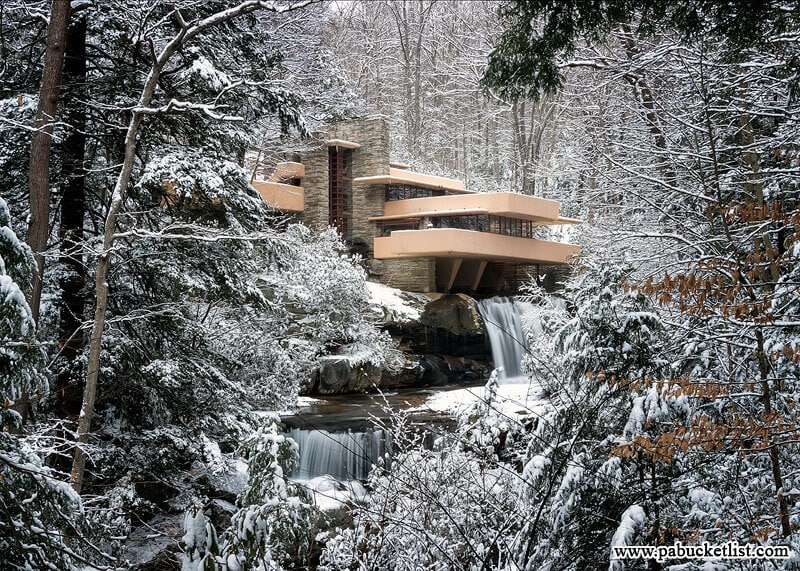
Frank Lloyd Wright’s Fallingwater in Fayette County is perhaps the most famous private residence in all of Pennsylvania.
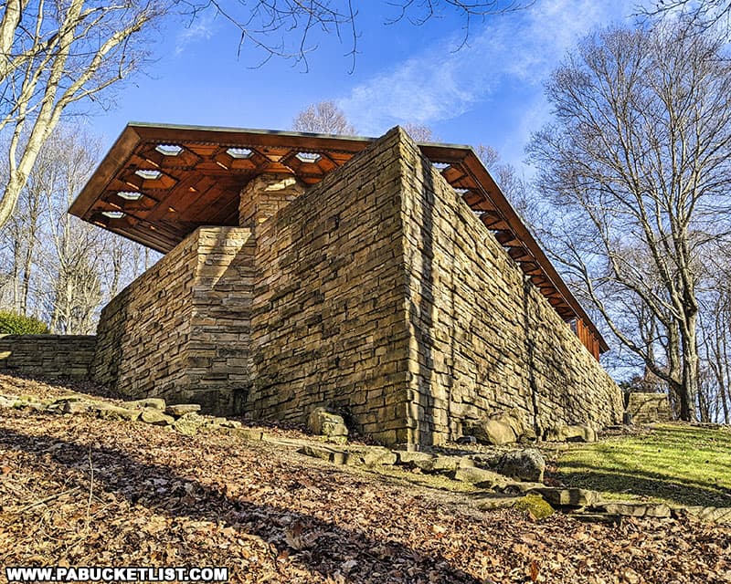
Kentuck Knob in Fayette County is another nearby Frank Lloyd Wright-designed home, built in 1954 for Isaac and Bernardine Hagan, founders of the Hagan Ice Cream company in nearby Uniontown, PA.
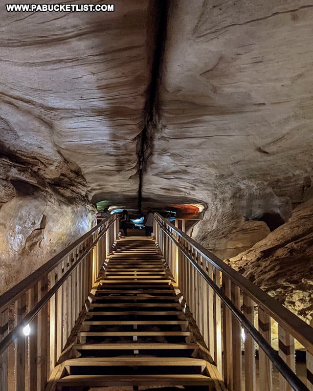
Nearby Laurel Caverns is billed as “Pennsylvania’s Largest Cave”, and is a great way to spend an hour or two BENEATH Fayette County!
Still not convinced you need to explore the Cascades on Meadow Run?
Then check out this video!
Did you enjoy this article?
If so, be sure to like and follow PA Bucket List on Facebook, Instagram, and/or Pinterest to learn more about the best things to see and do in Pennsylvania!
Click on any of the icons below to get connected to PA Bucket List on social media.