")
Fort Necessity in Fayette County is the site of the first battle in what would become known in North America as the French and Indian War (and known elsewhere as the Seven Years War), a global struggle for empire between the two superpowers of that time, France and England.
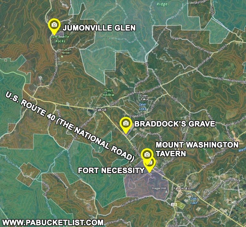
The Fort Necessity National Battlefield and three related, nearby properties managed by the National Park Service each tell an important part of the story of the French and Indian War and the years that followed, and I’ll describe these properties in their order of chronological importance to the story.
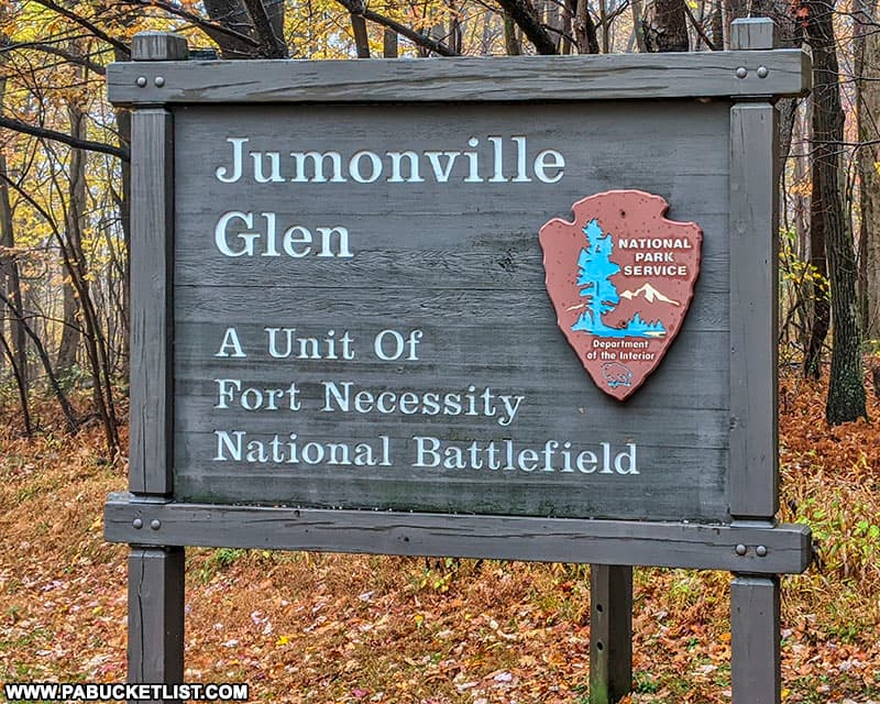
1. Jumonville Glen
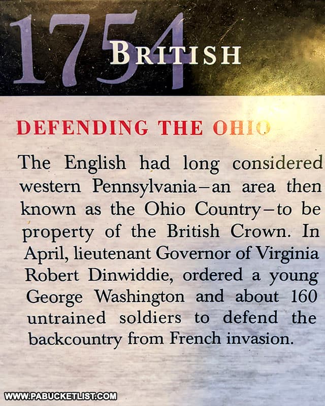
In 1754, both the French and the English realized the importance of controlling “the Ohio Country”, part of which is now western Pennsylvania.
The French saw the Ohio River and its tributaries as an important link between their colonies in Canada and Louisiana; the English saw the economic potential of expanding their eastern seaboard network of colonies further inland.

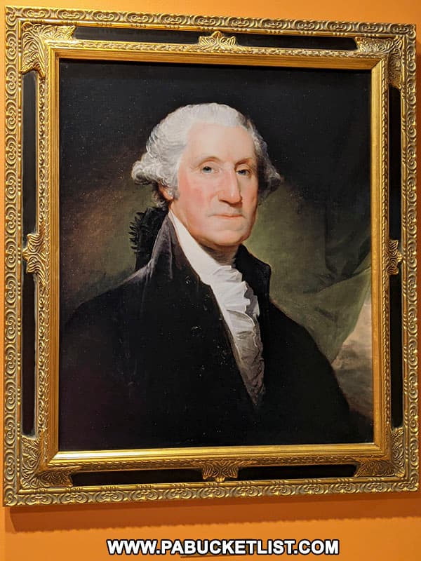
Governor Robert Dinwiddie of Virginia tasked 22 year-old George Washington with building an 80 mile-long wagon road from Wills Creek (modern day Cumberland, MD) to Redstone Creek on the banks of the Monongahela River, to aid in establishing new English settlements and as a route by which English troops and supplies could be moved into the area to expel the French from the region.
On May 24, 1754, Washington arrived at the Great Meadows, where he set up camp, and three days later, his Native American allies warned him of approaching French soldiers.
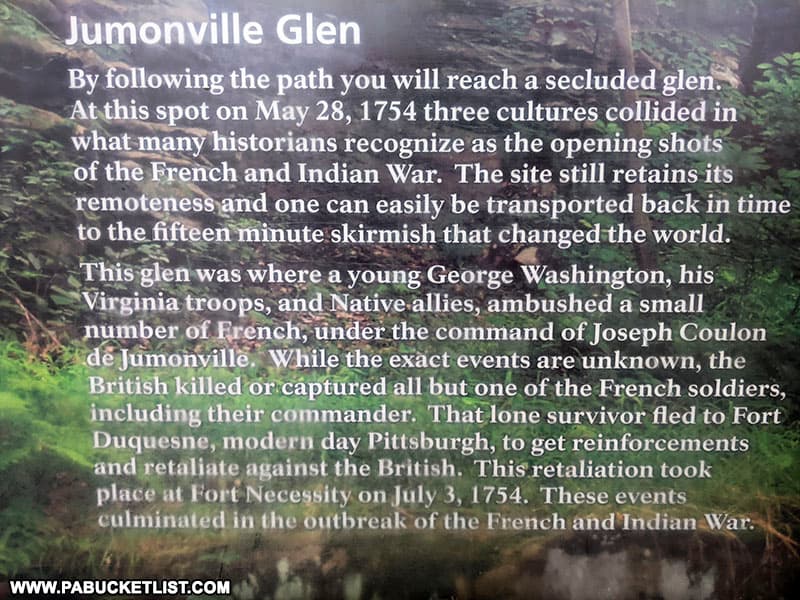
On May 28, Washington, along with his colonial troops and Native American allies, ambushed the French troops at dawn in a wooded ravine now known as Jumonville Glen.
During the 15 minute skirmish, Washington’s troops killed or captured all but one of the French troops, with the commander of the French troops, Joseph Coulon de Jumonville, being one of the fatalities.
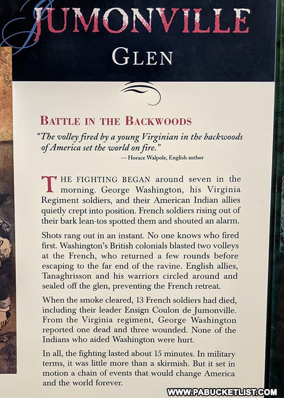
The lone French survivor made his way back to the French stronghold at Fort Duquesne (modern day Pittsburgh), where he informed the commander there (who happened to be Jumonville’s brother) what had occured.
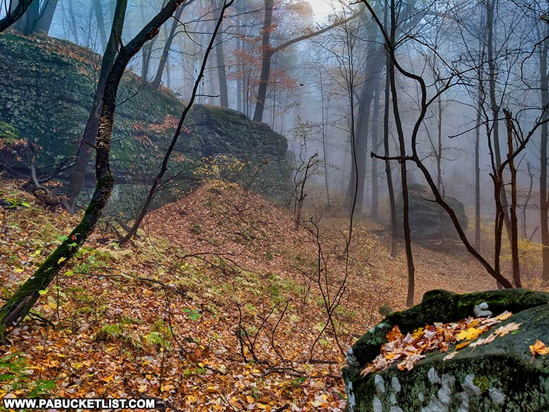
Today you can walk among the boulders where this firefight took place and where very little has changed since 1754.
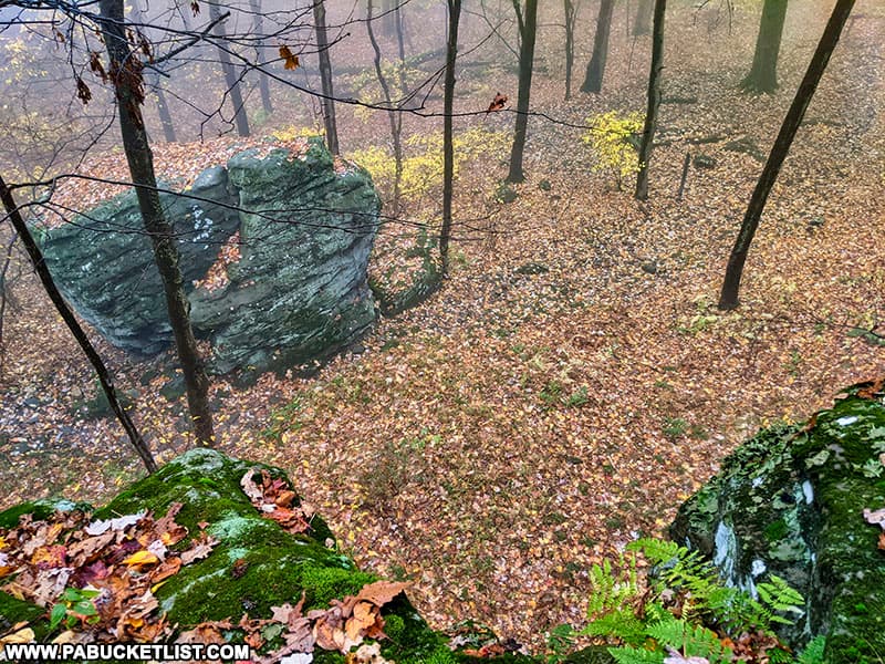
Although there are no great monuments or fortifications to see at Jumonville Glen (there are, however, some small interpretive signs along the trail from the parking lot to the glen), it is literally where the first shots in what would become the the first true “world war” were fired.
Jumonville Glen is located approximately 7 miles northwest of Fort Necessity (at GPS coordinates 39.87897, -79.64417), and is open sunrise to sunset, May 1 – October 31.
2. Fort Necessity
Following the skirmish at Jumonville Glen, Washington and his troops returned to the encampment at the Great Meadows.
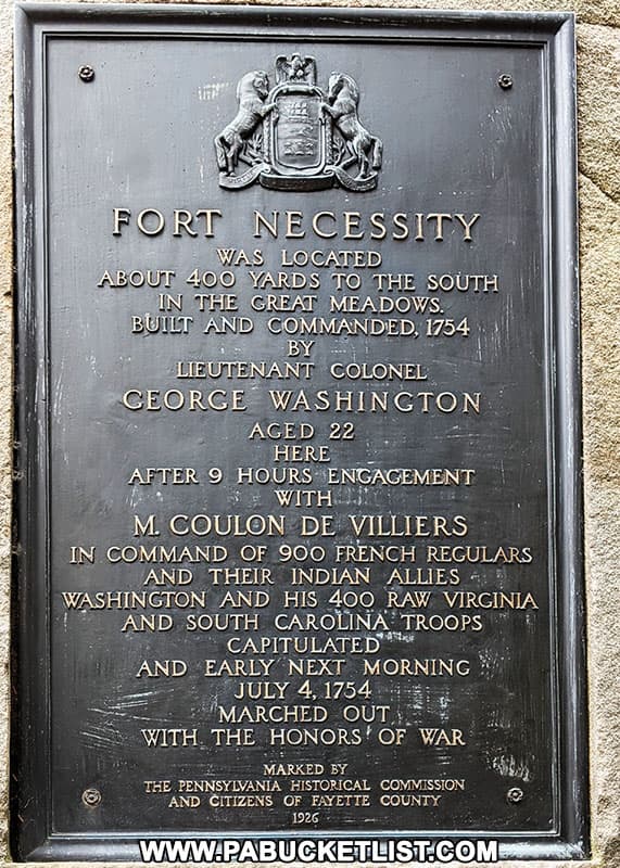
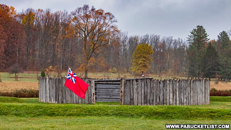
Knowing a French reprisal was likely, he order the construction of a small circular fort which he called Fort Necessity (as it was built hastily out of necessity).
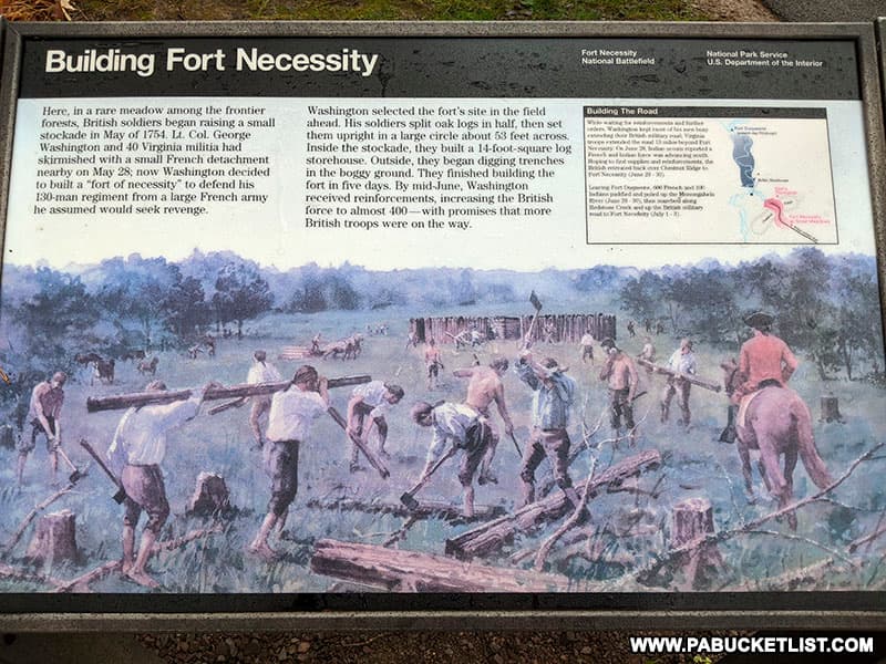
The fort was built in 5 days, was 53 feet in diameter, and had a 14-foot square log storehouse in the center of it.
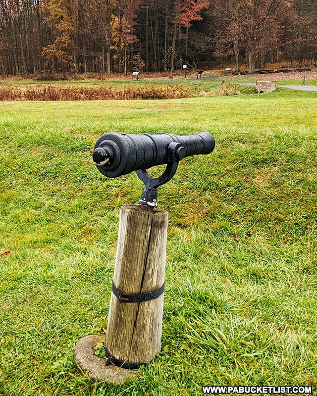
Earthen mounds built around the perimeter of the fort were defended in part by “swivel guns”.
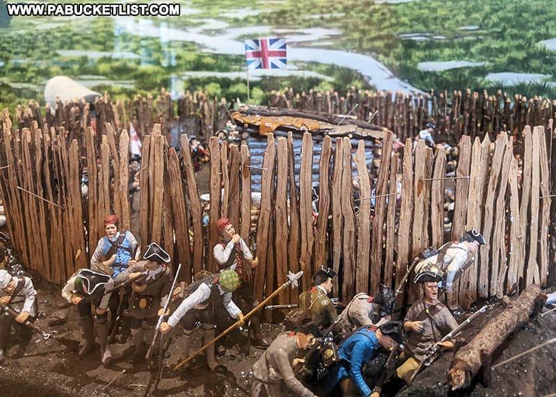
The reprisal attack Washington feared came on July 3, 1754, when 700 French and Native American troops surrounded Washington and his 400 troops.
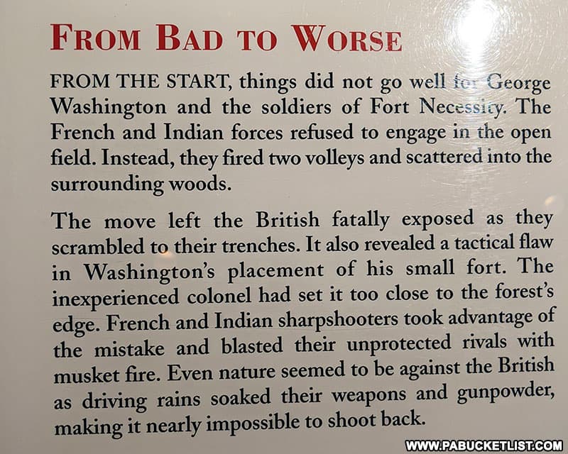
Washington had made the tactical error of placing his fort too close to the surrounding woods, allowing the French and their Native American allies to fire on the fort at will from behind cover.
At 8 pm the French requested a truce to allow Washington the option of discussing a surrender.
Just after midnight, Washington agreed to surrender terms that allowed him and his troops to withdraw with honors (meaning they could keep their sidearms).
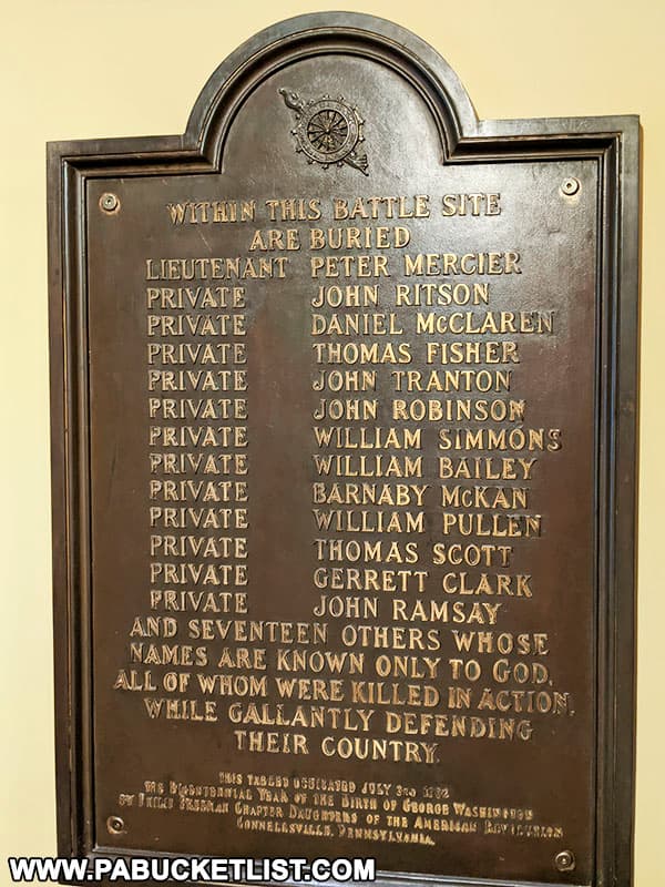
In exchange, Washington released the French prisoners taken at Jumonville Glen and signed what turned out to be a confession to assassinating de Jumonville (Washington later claimed the interpreter did not accurately explain to him what he was signing).
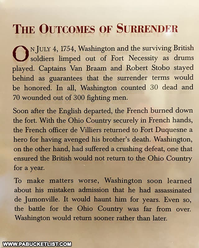
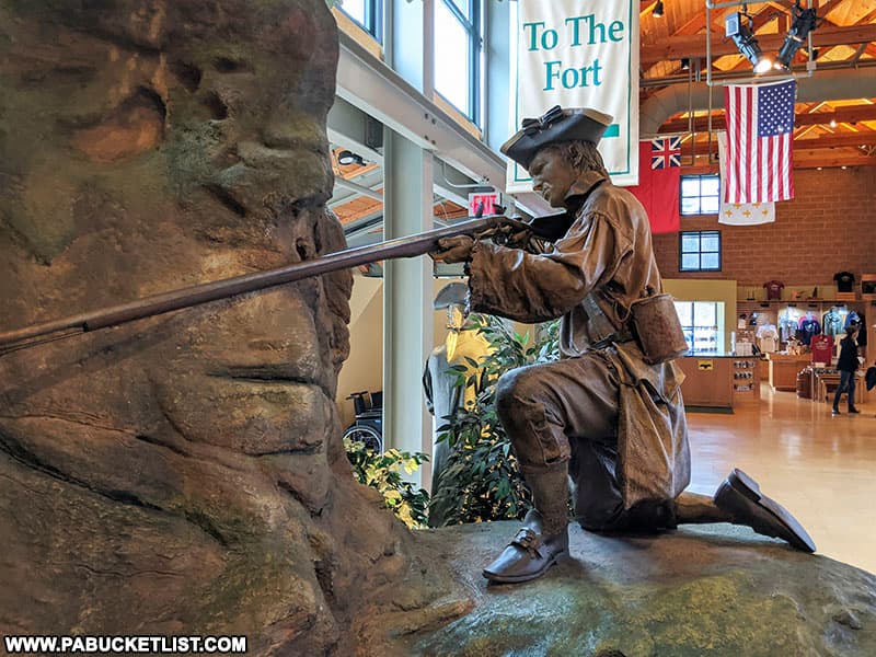
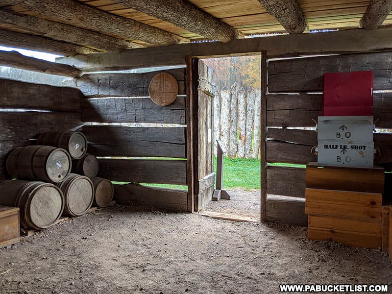
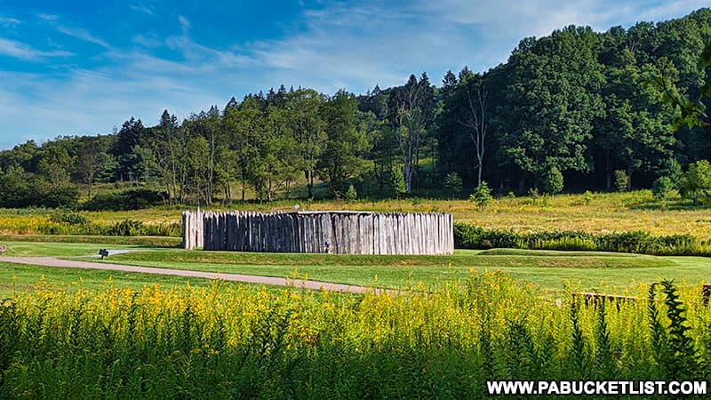
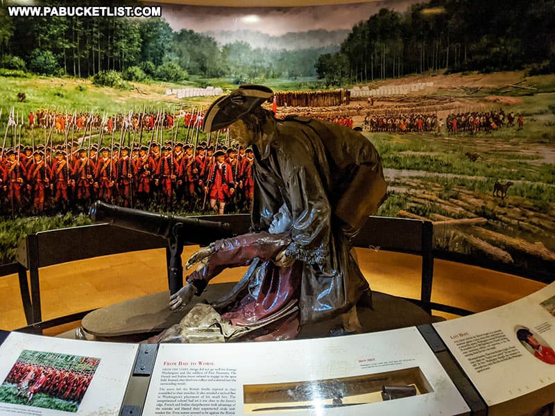
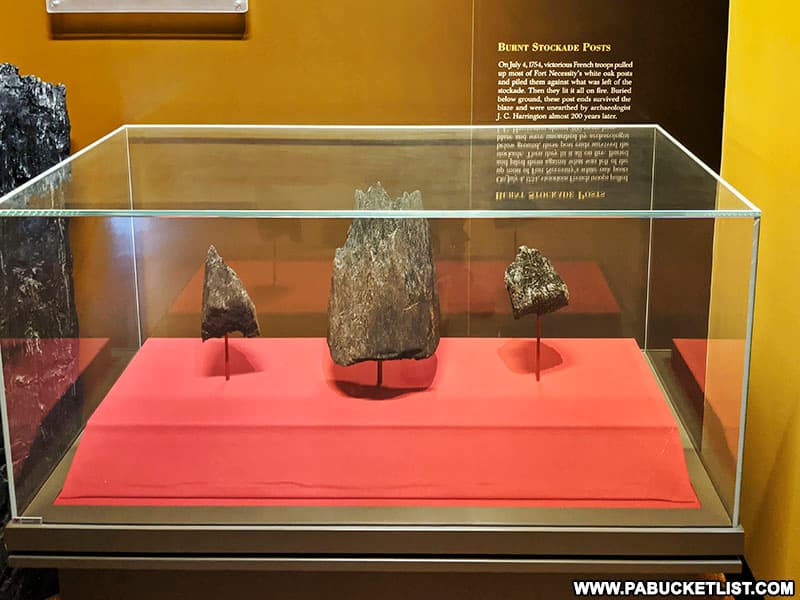
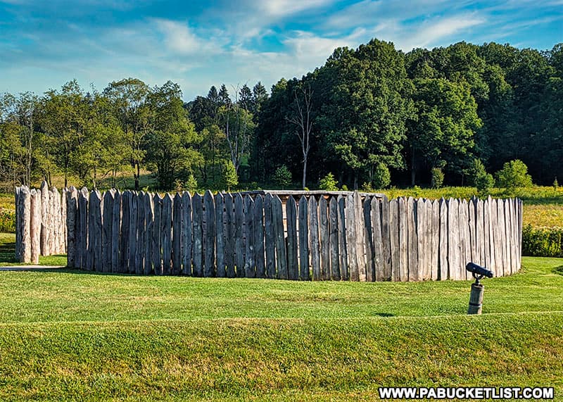
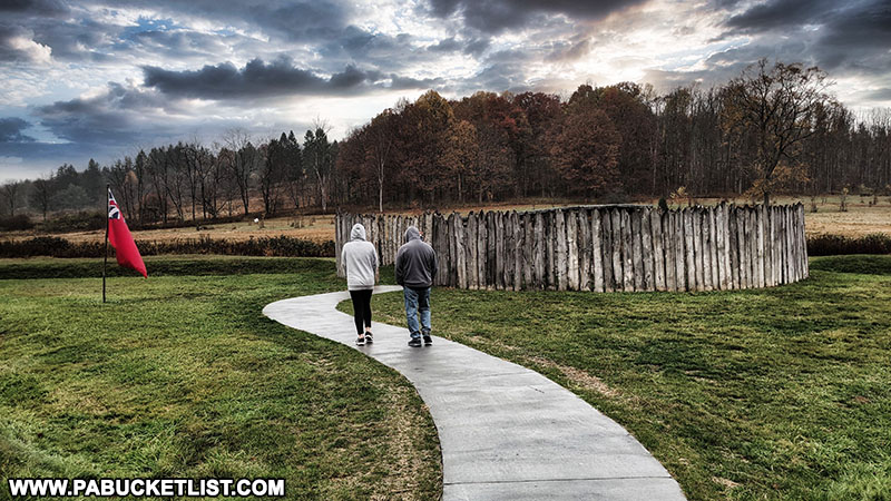
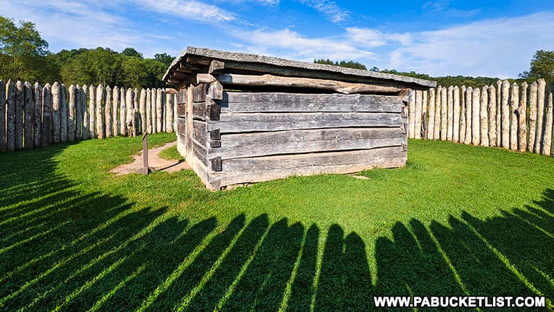
Today in addition to the replica of the fort (the original was burned to the ground by the French following Washington’s departure), there is an exceptional Visitor Center with many artifacts, interpretive displays, and a theatre that shows a brief film about the events that unfolded at and around Fort Necessity.

Fragments of the original stockade posts of Fort Necessity that were underground and escaped the fire set by the French are one of the more unique displays.
The replica of Fort Necessity, built on the site of the original, is located just a few hundred yards from the Visitor Center and accessible via a relatively flat walking trail.
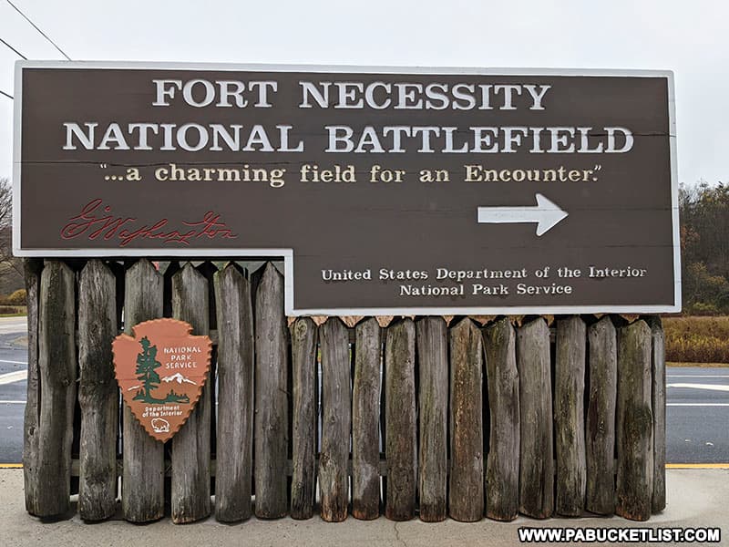
The Fort Necessity National Battlefield Visitor Center is located just off of US Route 40 at GPS coordinates 39.81444, -79.58604.
The 900 acre grounds at Fort Necessity National Battlefield are open every day of the year, from sunrise to sunset.

The Visitor Center is open every day (except major holidays) from 9 am – 5 pm.

There is NO FEE to enter either the park or the Visitor Center.
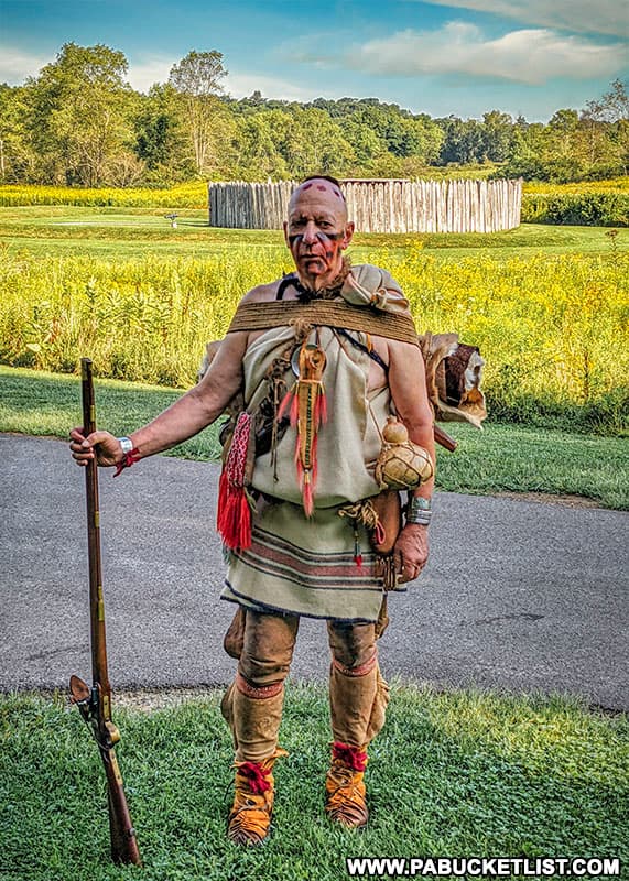
In the summer months, you may be fortunate enough to catch historical reenactors onsite on the weekends, explaining the roles of the various parties (French, Native Americans, and British) at the Battle of Fort Necessity.
3. General Braddock’s Grave
After Washington’s surrender at Fort Necessity, England decided to send a professional fighting force to try and remove the French from the Ohio Country. General Edward Braddock, with 45 years of military service, was sent to lead the effort in 1755.

Unfortunately for General Braddock, all of his experience was in fighting European-style in open fields, not in a dense wilderness.
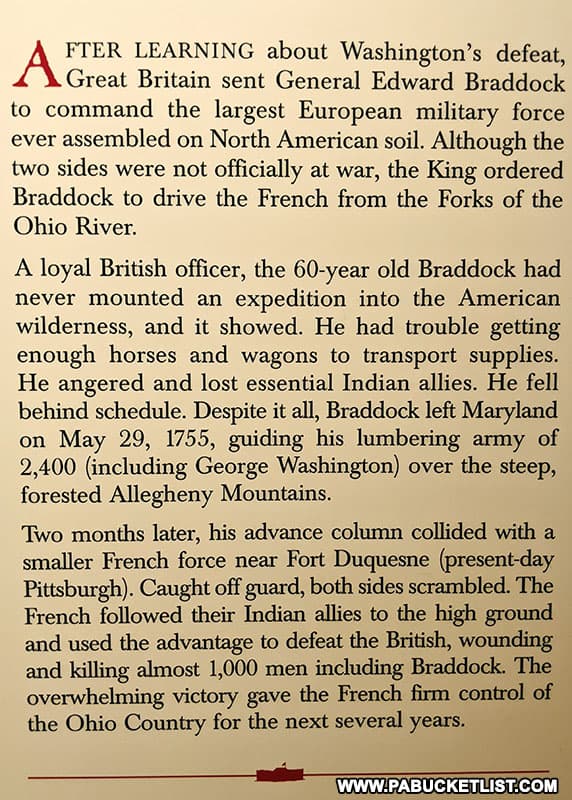
On July 9, 1755, Braddock’s army (which included George Washington) was routed by a much smaller but more wilderness-savvy French and Native American force, with nearly 2/3 of the English army killed or wounded.
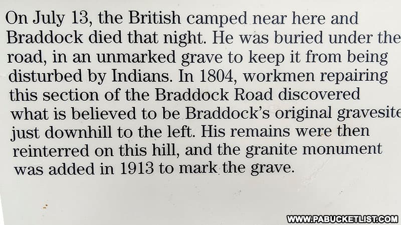
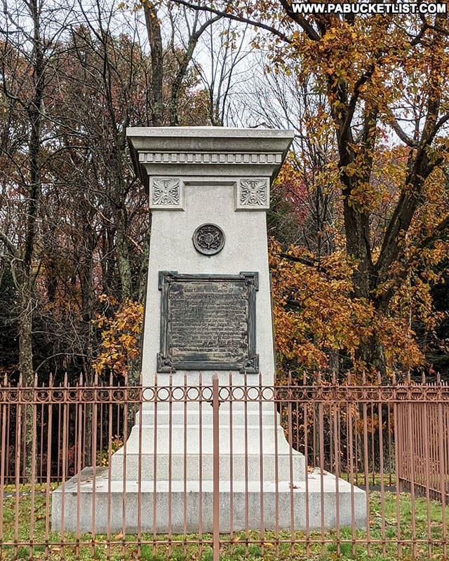
General Braddock himself was mortally wounded and was buried in a secret grave in the middle of the road so that his body would not be discovered and desecrated by pursuing enemy forces.
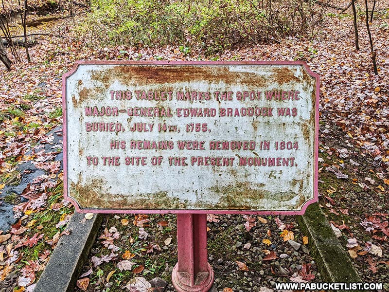
Today both his original, “secret” gravesite and the spot to where he was reinterred in 1804 are part of Braddock’s Park along modern day U.S. Route 40, just a few miles west of Fort Necessity.
General Braddock’s Grave is located alongside U.S. Route 40 at GPS coordinates 39.83269, -79.60039, and is open sunrise to sunset, year round – weather permitting.
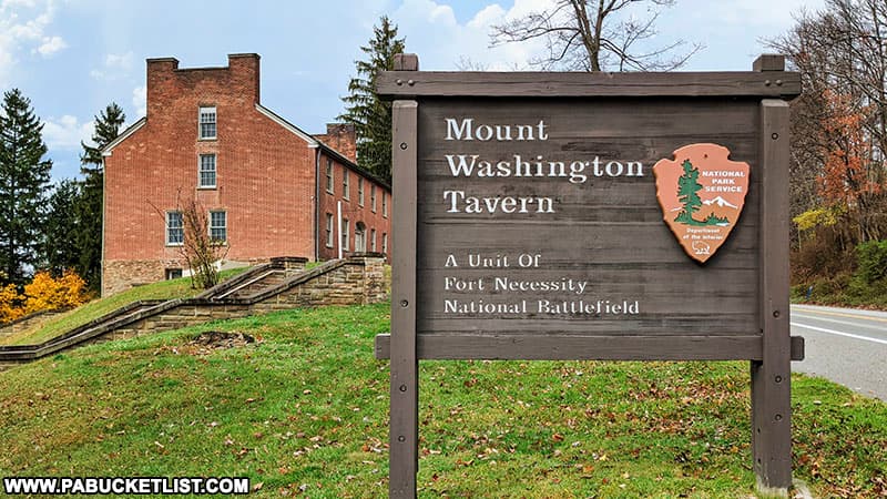
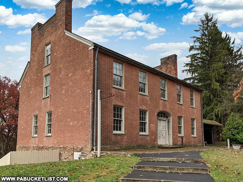
4. Mount Washington Tavern
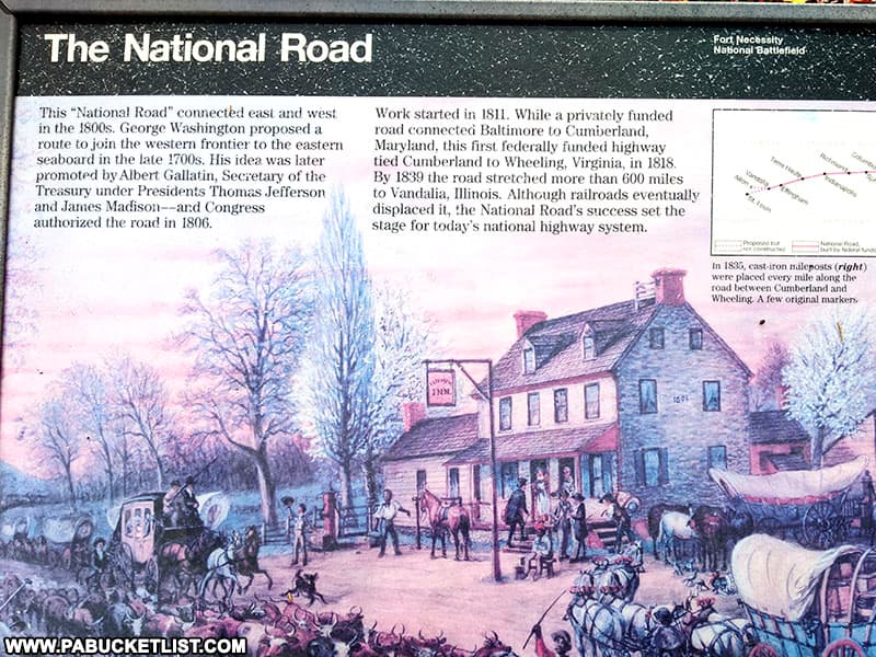
The Mount Washington Tavern, built between 1827-1828, was a stagecoach stop along what was to become the National Road, the first federally-funded highway in America.
From 1811 to the 1850s, the National Road served as the main route from the East Coast to the western frontier, and much of U.S. Route 40 follows its path today.
The Mount Washington Tavern is open May 1 – October 31 (closed on major holidays and closed November 1 – April 30).
The Mount Washington Tavern is located alongside U.S. Route 40 at GPS coordinates 39.81796, -79.58745.
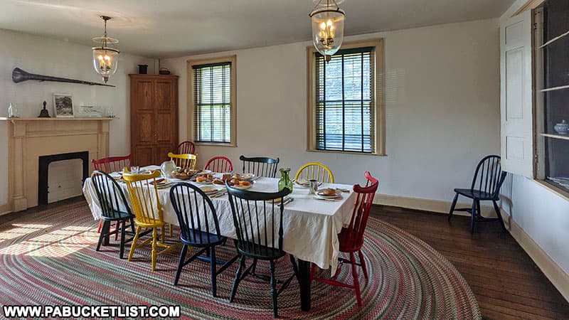
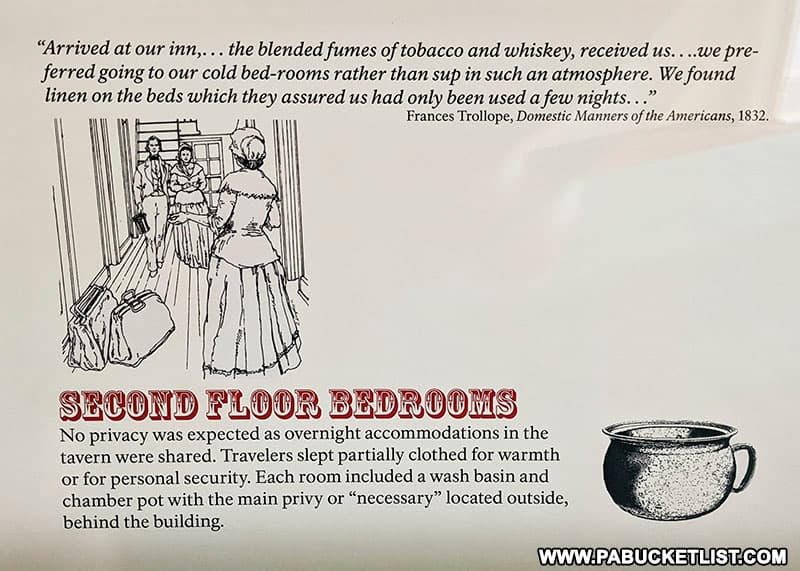
Inside, you’ll find the first and second floors of the tavern recreated to look as they would have looked in the 1830’s.
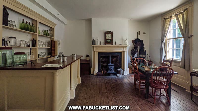
The bar room at the Mount Washington Tavern no doubt saw many colorful characters pass through it’s door!
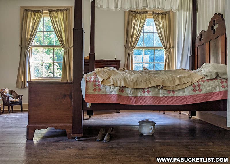
While on the second floor, you’ll find the bedrooms, complete with chamber pots under the beds.
Signage describing what you are looking at is placed throughout the Mount Washington Tavern.
Final Thoughts
For those with a keen interest in both US and world history, Fort Necessity National Battlefield and the surrounding sites mentioned here are where monumental events occured, and the what-ifs are profound as well.
What if George Washington had been killed at Fort Necessity, or alongside General Braddock the following year?
What if the English had decided the war against the French was too costly and ceded control of the “New World” to them?
You can ponder these questions and others as you explore the historic Fort Necessity National Battlefield in Fayette County!
Related Attractions
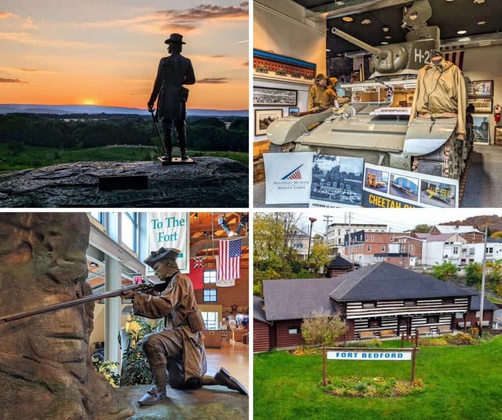
PA’s Best Military-Themed Attractions highlights some of Pennsylvania’s most fascinating battlefields, forts, military museums, and historic sites, all based on my firsthand visits across the Keystone State.
Nearby Attractions
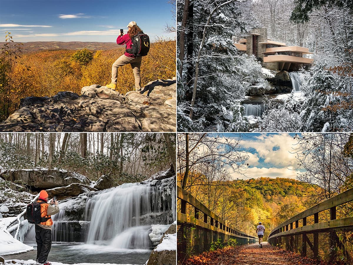
22 Must-See Attractions in Fayette County showcases more remarkable sights and experiences near Fort Necessity.
A Smarter Way to Explore Pennsylvania
Explore Pennsylvania like a pro with the interactive PA Bucket List Travel Map, showcasing over 1,000 memorable destinations I’ve personally visited across the Keystone State.
Did you enjoy this article?
If so, be sure to like and follow PA Bucket List on Facebook, Instagram, and/or Pinterest to learn more about the best things to see and do in Pennsylvania!
Click on any of the icons below to get connected to PA Bucket List on social media.