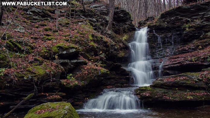
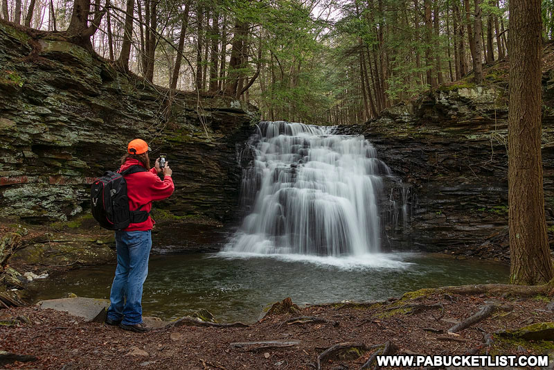
Nickle Run Falls is a secluded, 30 foot-tall waterfall located along a spur of the Mid State Trail in the Tioga State Forest.
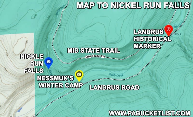
There are several routes you can take to reach Nickle Run Falls, and I’ll discuss a few of those here, as well as other historic points of interest nearby.
How to Find Nickle Run Falls
There are several routes you can take to hike to Nickle Run Falls, and depending on the season and water levels, some may or may not be viable options.
No matter which route you take, you’ll find Nickel Run Falls at GPS coordinates 41.63723, -77.22982.
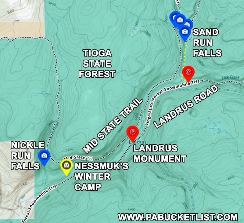
Option #1
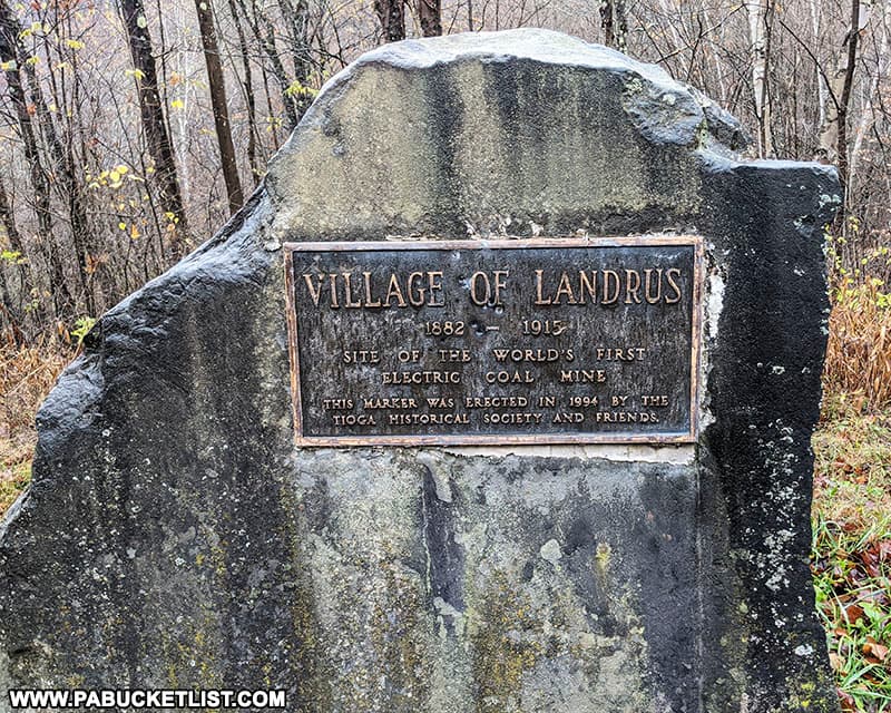
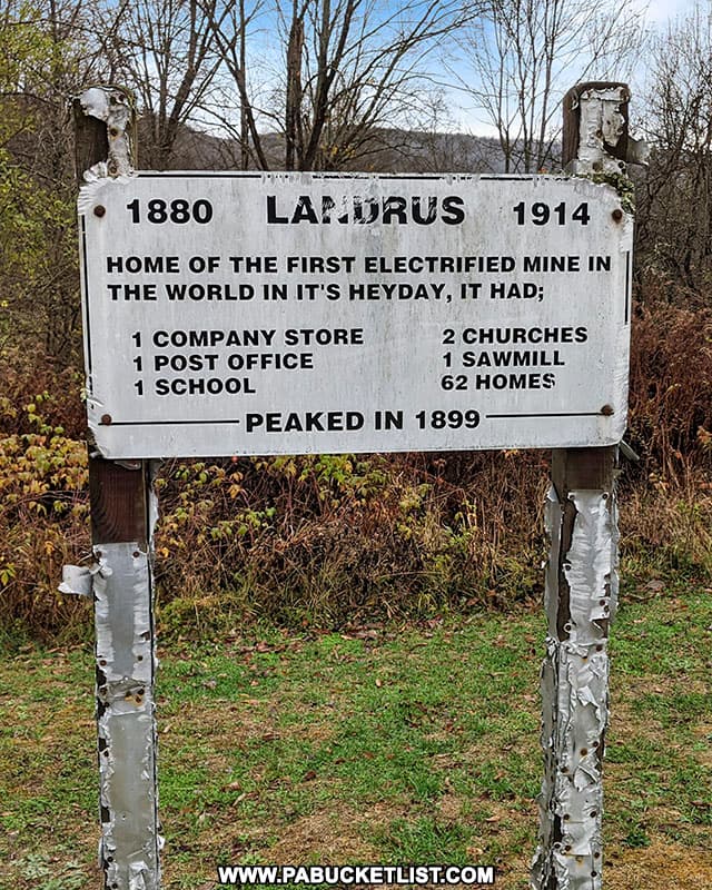
Option #1 is to park along Landrus Road near the monument to the ghost town of Landrus, do a wet crossing of Babb Creek, and then hike south on the Mid State Trail approximately 1.3 miles to Nickle Run Falls.
This is not a viable option when the water levels are high, nor is it in the winter as Landrus Road is a “no winter maintenance” forest road.
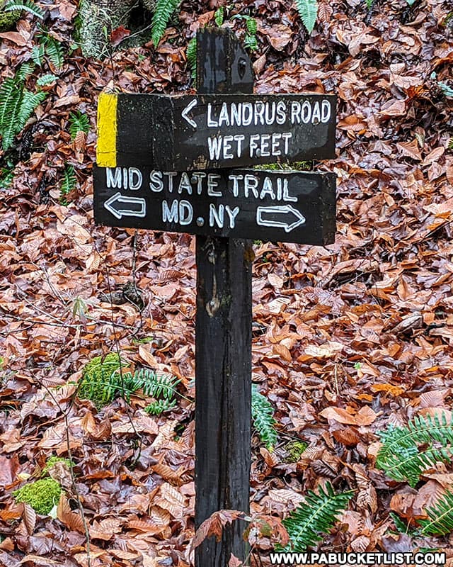
But assuming it is not winter and water levels are not super-high, the parking area at Landrus can be found at GPS coordinates 41.64177, -77.20731.
Option #2
Option #2 (the option I chose the day I took these photos) is to park at the spot described in my Sand Run Falls write-up, along Landrus Road at GPS coordinates 41.65315, -77.19309.
After visiting Sand Run Falls and the smaller waterfalls in its immediate vicinity, hike south along the Mid State Trail approximately 3 miles to Nickle Run Falls.
As with option #1, it is not advisable in the winter to attempt to drive on Landrus Road.
Option #3
Option #3 is simply to hike in either from the north or south along the Mid State Trail, from the trailhead of your choice.
For example, the Mid State Trail head to the north near Arnot is approximately 6 miles from Nickle Run Falls, but is accessible even in the winter, and you pass Sand Run Falls along the way.
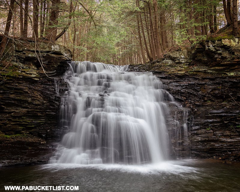
So depending on the season and water levels, these are some of your best bets for hiking to Nickle Run Falls.
Exploring Nickle Run Falls
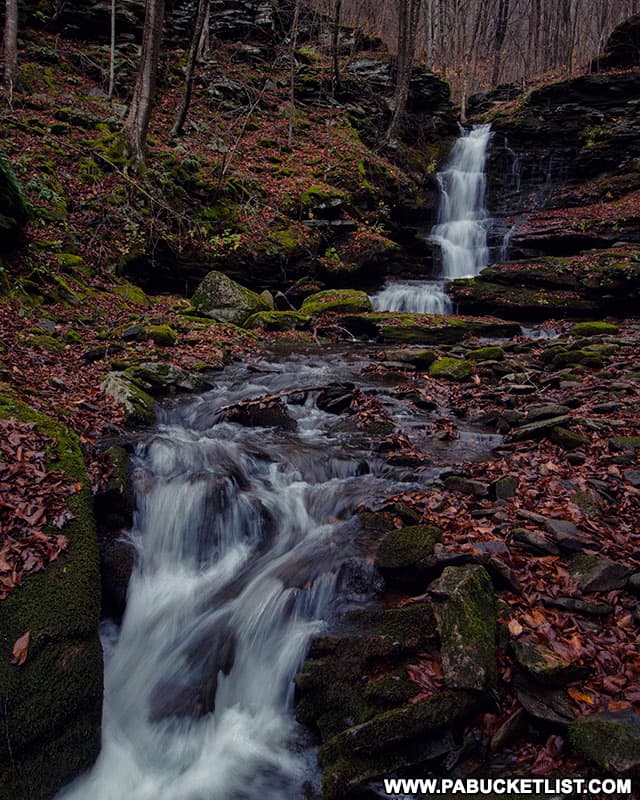
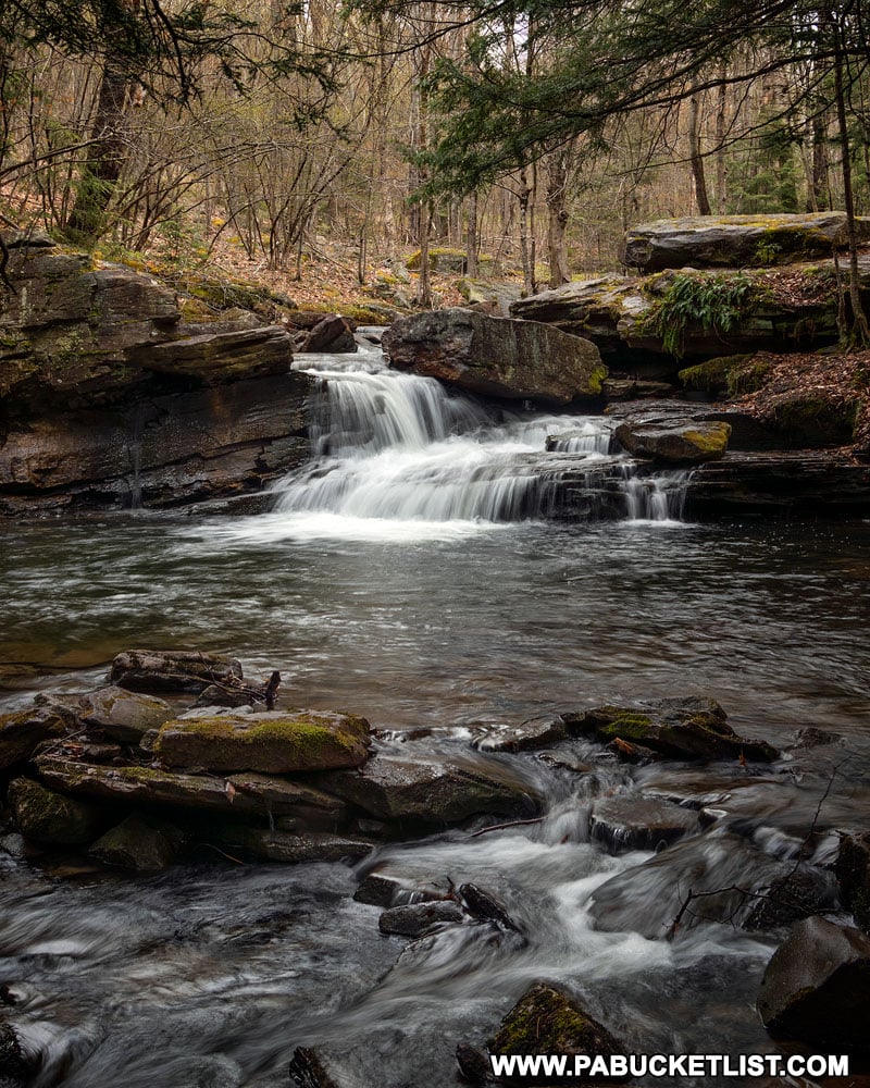
Nickel Run Falls is tucked away in a rocky glen that reminds me a lot of smaller version of Amphitheatre Falls, another secluded gem in Tioga County.
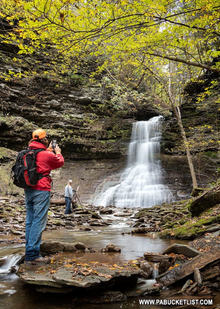
Nickle Run Falls is approximately 30 feet tall, including the lower tier.
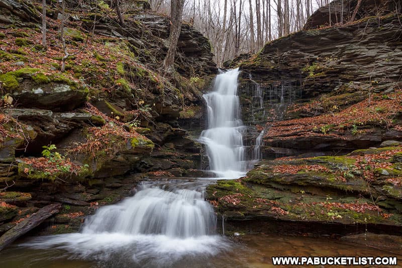
From a perch on the hillside to the right of it (when facing upstream), you can take in the falls in their entirety.
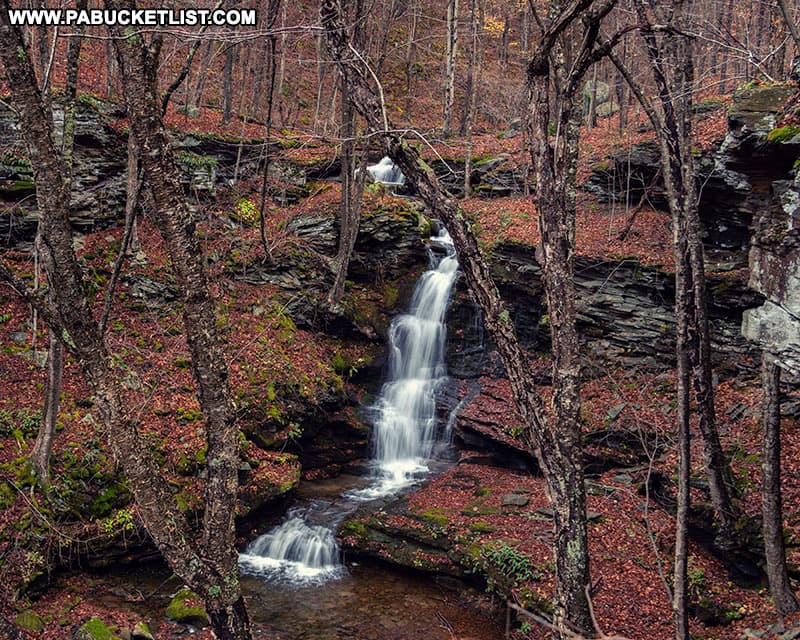
Dropping down to stream level, it’s relatively easy to pick your way upstream to the base of Nickle Run Falls.
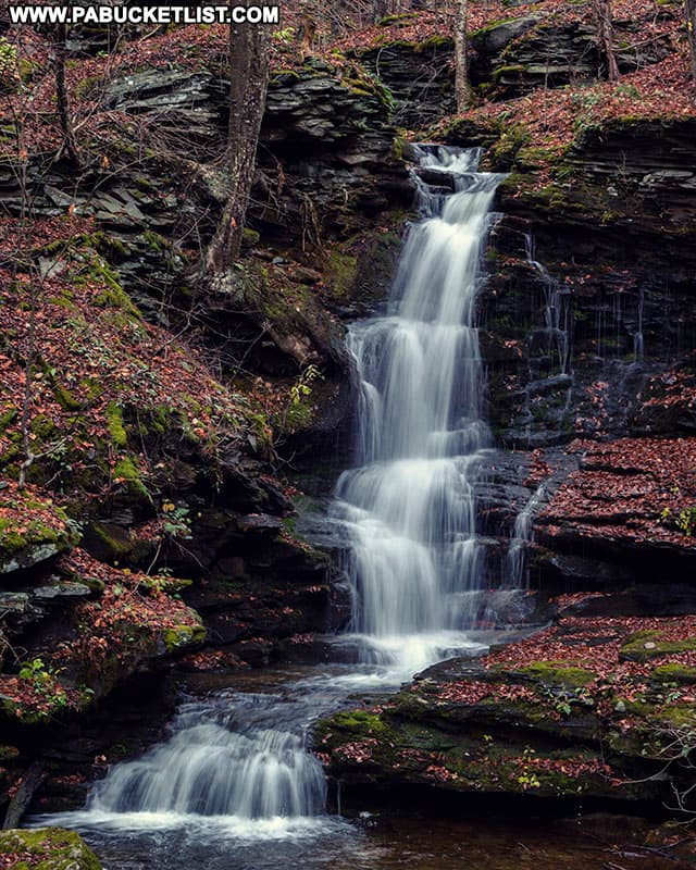
This waterfall is believed to be the inspiration for the poem entitled “Mickle Run Falls” by Nessmuk, pen name for author George Washington Sears who lived nearby in Wellsboro in the 1800s.
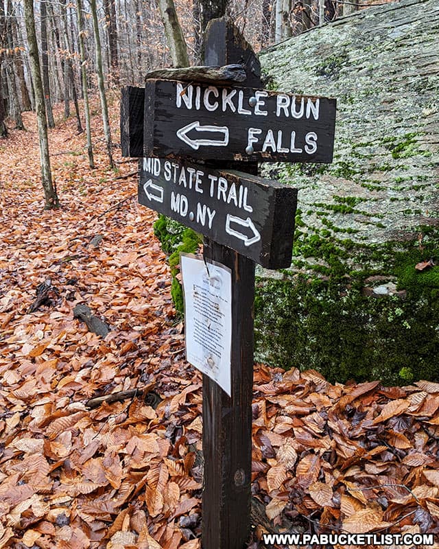
A copy of the poem is (or was when I visited last) attached to the Nickle Run Falls spur trail marker along the Mid State Trail.
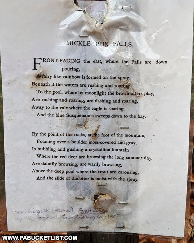
I saw no “trout carousing” on this day, but the scene certainly is inspiring nonetheless.
Nearby Historical Attractions
If you continue downhill past Nickel Run Falls (the falls indicated on the sign below) towards Babb Creek, you’ll run into an old railroad grade.
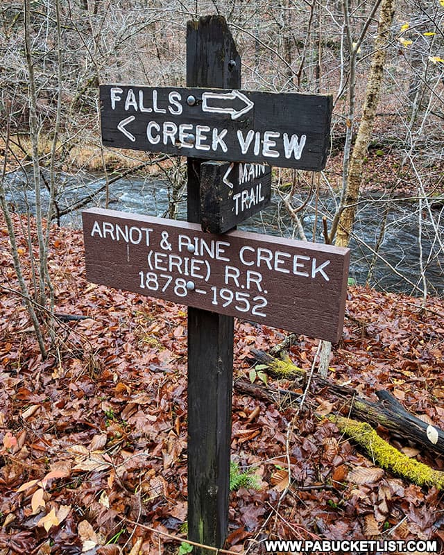
Follow this grade/trail in the direction of the “Creek View” and you’ll arrive at a winter campsite used by Nessmuk/George Washington Sears in the 1850s.
Nothing of the campsite exists, but some old railroad bridge abutments from the Arnot and Pine Creek Railroad are still visible.
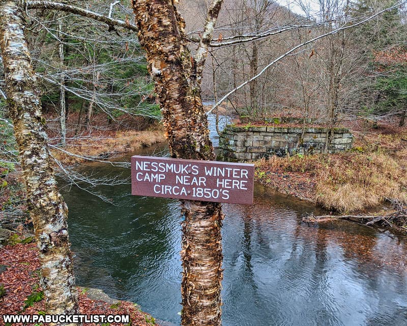
From here you can either retrace your steps and follow the Mid State Trail back to your vehicle, or do like I did and simply make a wet crossing of Babb Creek here and follow Landrus Road back to your vehicle, assuming that’s where you parked in the first place.
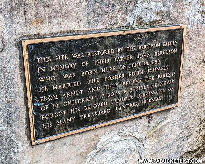
If you do follow Landrus Road, take some time to check out the remnants of the ghost town of Landrus along the way.
Nearby Attractions
Lick Creek Falls is a small but picturesque roadside waterfall alongside Landrus Road near Arnot.
Just south of Nickel Run Falls, you’ll find a slew of great waterfalls along the Pine Creek Rail Trail, close to the Blackwell trailhead.
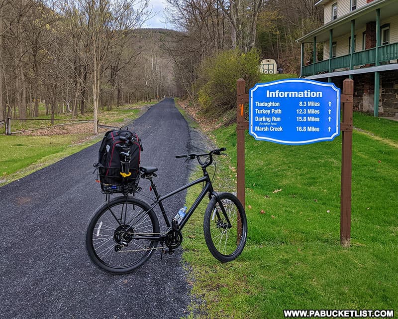
Stone Quarry Run Falls is located a mile north of Blackwell.
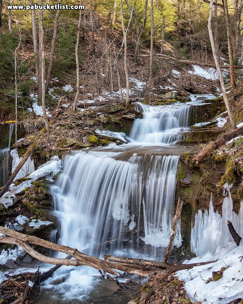
Water Tank Hollow Falls is located 2 miles north of Blackwell.
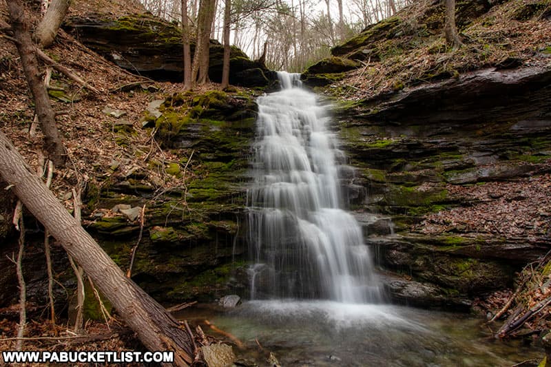
Benjamin Hollow Falls is located 3 miles north of Blackwell.
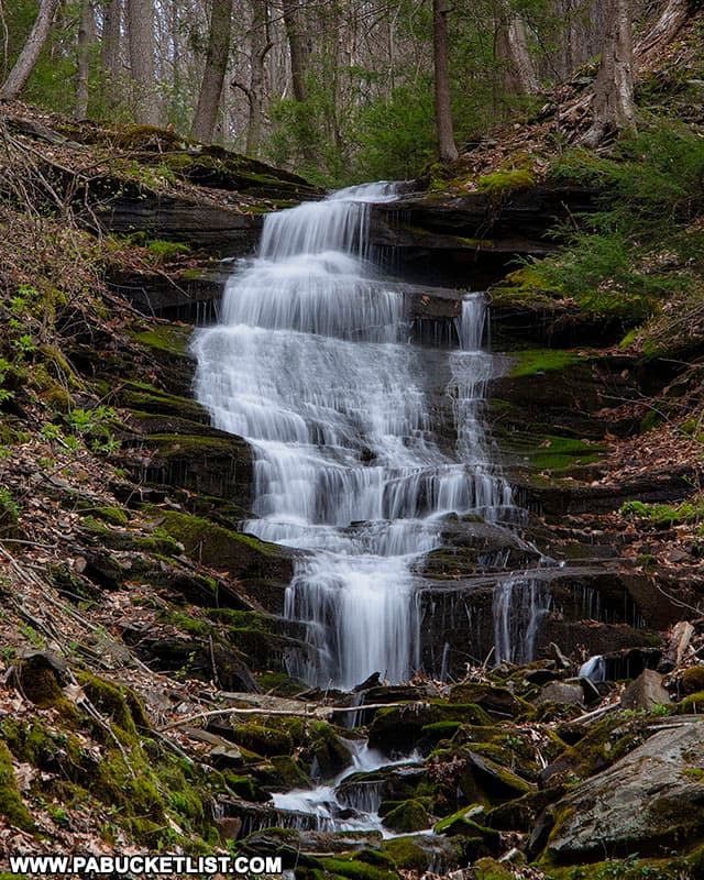
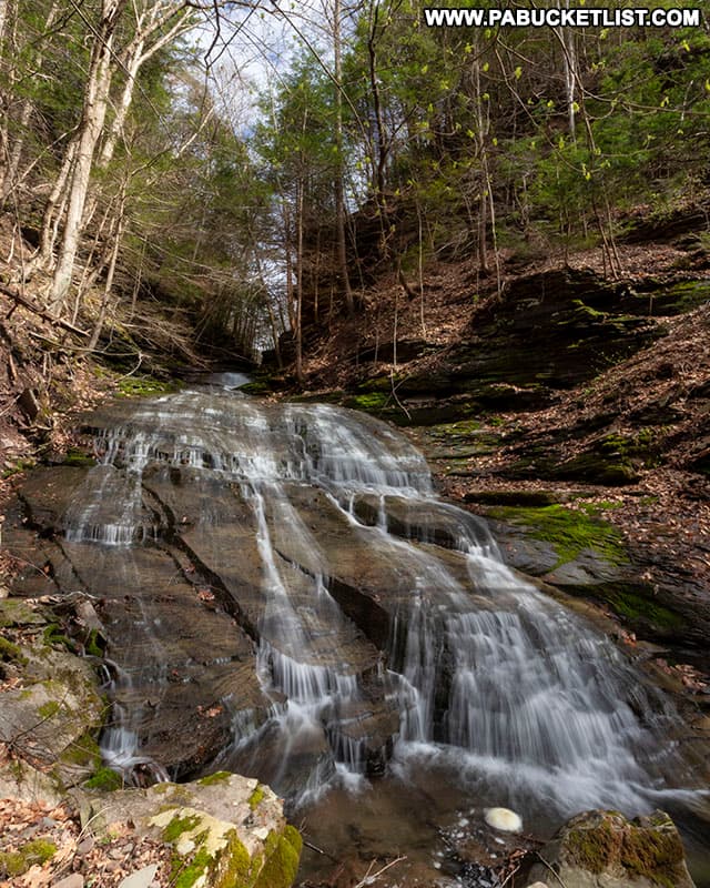
And Pine Island Run Falls is located 4 miles north of Blackwell.
Did you enjoy this article?
If so, be sure to like and follow PA Bucket List on Facebook, Instagram, and/or Pinterest to stay up-to-date on my latest write-ups.
Click on any of the icons below to get connected to PA Bucket List on social media!


