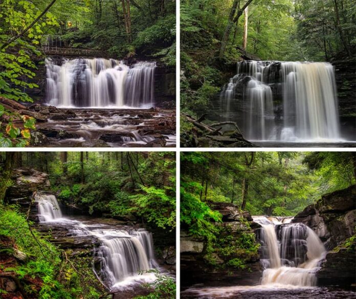
If you’re looking for information about hiking the Falls Trail at Ricketts Glen State Park, you’re in the right place!
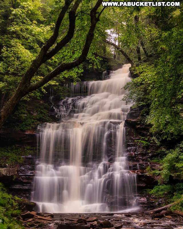
The Falls Trail at Ricketts Glen State Park in Luzerne County is the most famous waterfall hike in Pennsylvania, featuring 21 named waterfalls along a loop hike of almost legendary status.
And while there is no RIGHT way to see all 21 waterfalls, there certainly is a MOST LOGICAL way, ESPECIALLY if you have kids in your hiking party!
So follow along as I lay out for you, step-by-step, the shortest, least-strenuous way to explore the waterfalls along the Falls Trail at Ricketts Glen State Park.
Where to Park at Ricketts Glen
I always recommend parking at the Lake Rose Trailhead Parking Area when hiking the Falls Trail at Ricketts Glen State Park; you’ll find it at GPS coordinates 41.32980, -76.29145.
Overview of Falls Trail Hike
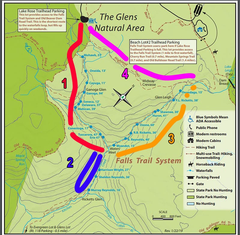
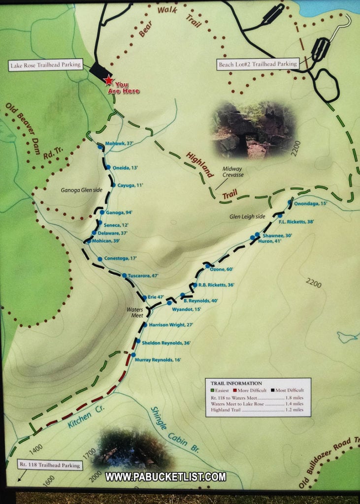
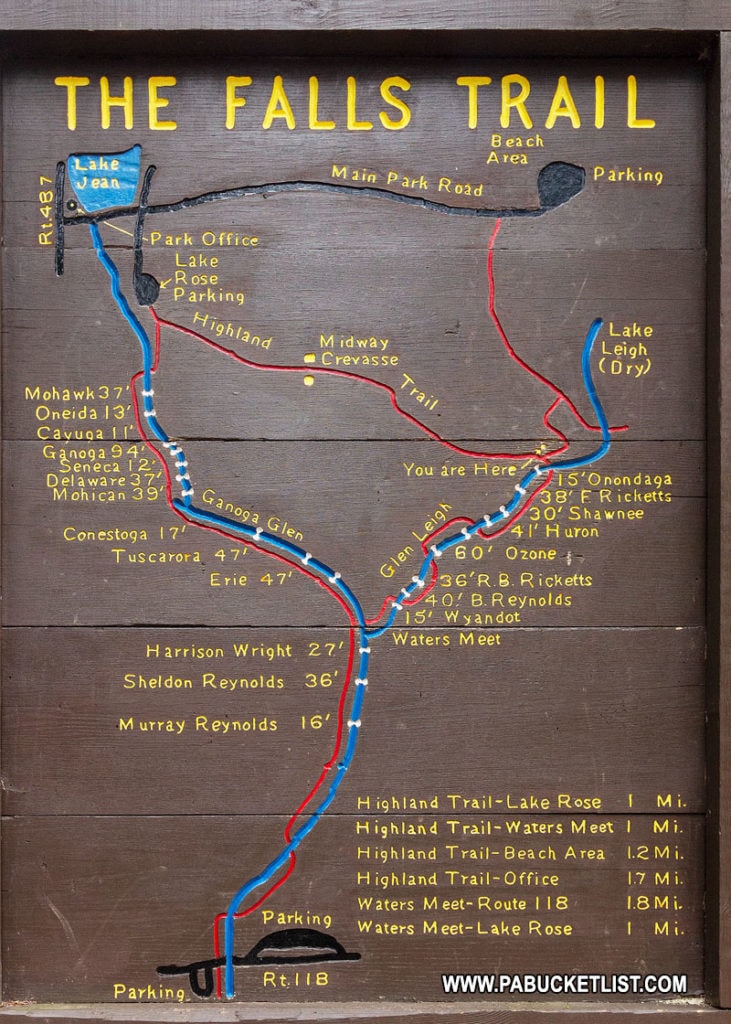
I recommend starting at the Lake Rose Trailhead and hiking the Falls Trail in a counter-clockwise fashion, in the order (1-2-3-4) I have highlighted on the trail map below.
Why You Should Hike the Falls Trail Counter-Clockwise
Here are 3 reasons why I recommend starting at the Lake Rose Trailhead and hiking the Falls Trail in a counter-clockwise fashion.
1. It allows you to see waterfalls almost immediately.
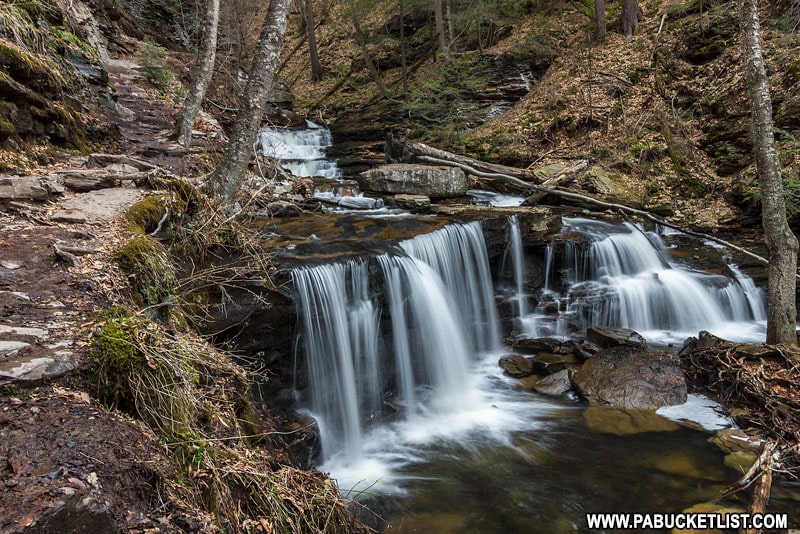
If you depart from the Lake Rose Trailhead and hike counter-clockwise, you’ll encounter your first waterfall (Mohawk Falls) within 10 minutes.
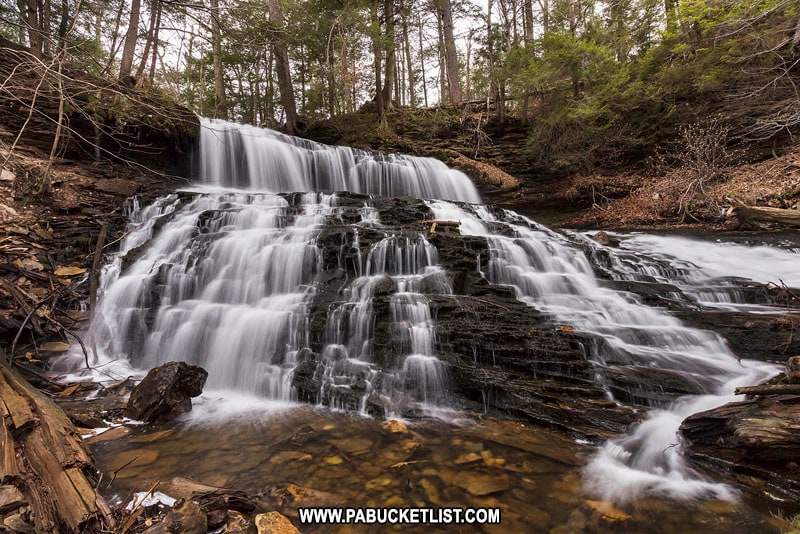
Hike up from the parking area on Route 118 and you have to cover approximately 1.2 miles of flat creek before you see your first waterfall.
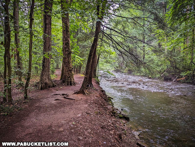
2. It is the shortest route available to see all 21 waterfalls.
If you depart from the Lake Rose Trailhead and hike the 4 segments I outlined on the map above, your loop will end up being around 4 miles long.
If you start at the Route 118 parking lot and do the entire Falls Trail hike, you’re adding an additional 2.5 miles to your hike!
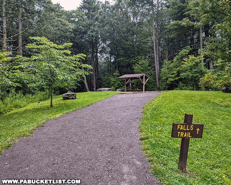
3. It allows you to finish the hike crossing flat land, rather than with a steep climb.
If you look at my segmented map again, you’ll see that both segments 1 and 4 are roughly 1.2 miles long.
So the question becomes, at the end of your hike, which would you rather do?
Hike 1.2 miles of relatively flat terrain, OR hike 1.2 miles of rocky terrain while ascending roughly 1,000 feet along Ganoga Glen?
For most people (and ESPECIALLY people with tired kids in their party), the answer is to finish the hike on flat terrain!
Section 1 (1.2 miles) – Ganoga Glen
The hike begins at the Lake Rose Trailhead.
After following the Falls Trail for a few minutes, you come to a Y intersection.
TAKE THE TRAIL TO THE RIGHT!
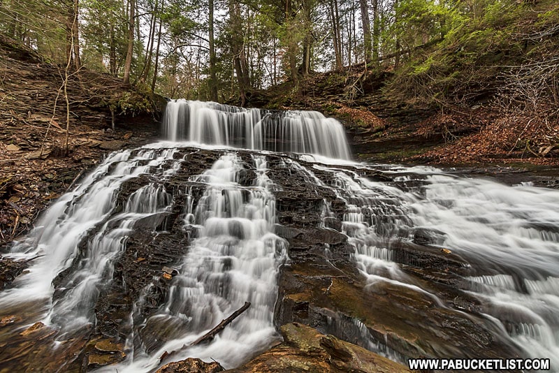
A few minutes later you’ll be standing at the top of Mohawk Falls (37′).
Continuing down the trail, Oneida Falls (13′) is up next.
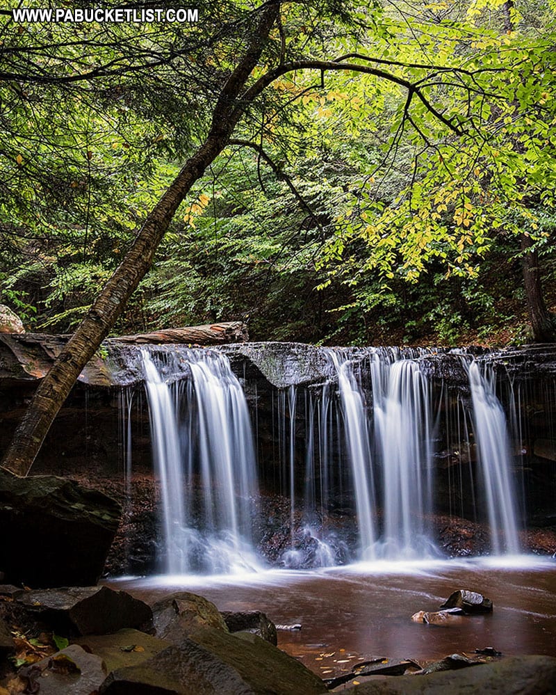
If you are a photographer, you MUST get this shot from below Oneida Falls that everyone, his brother, and his brother’s brother has taken!
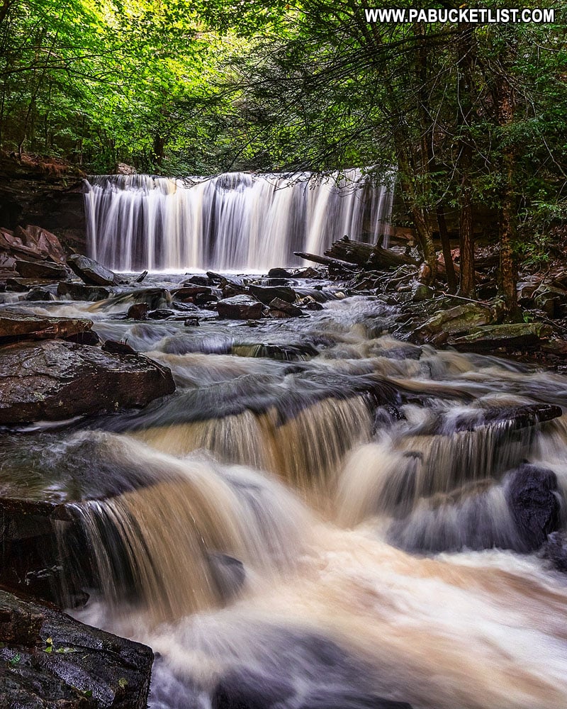
Cayuga Falls (11′) is up next, a diminutive waterfall compared to what is to follow.
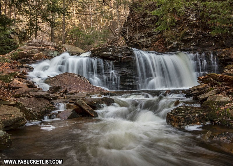
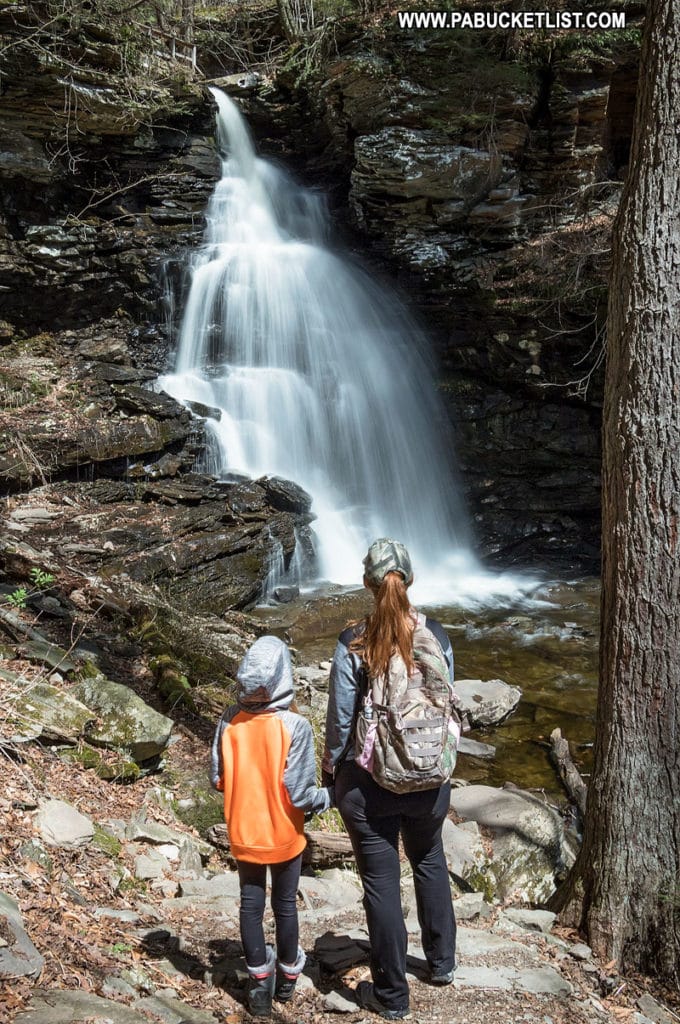
Ganoga Falls (94′) is the tallest waterfall at Ricketts Glen State Park.
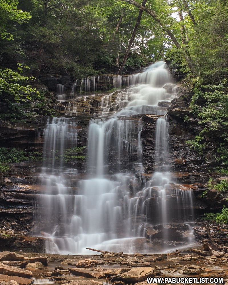
The namesake waterfall of this glen, it never fails to amaze first-timers at Ricketts Glen.
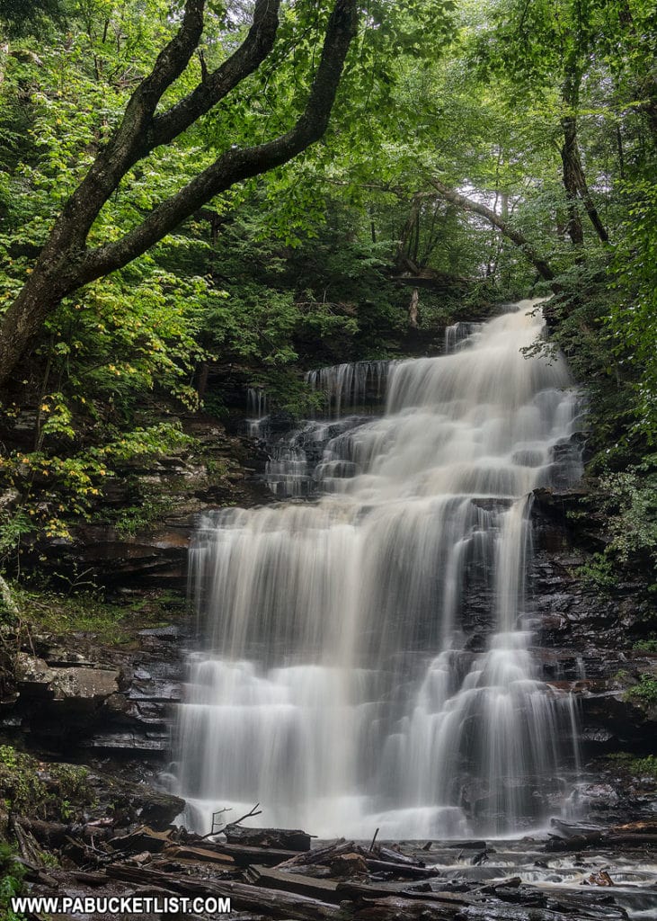
Moving on from Ganoga Falls, you next encounter Seneca Falls (12′).
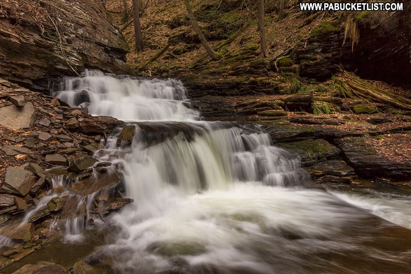
After Seneca Falls, comes Delaware Falls (37′).
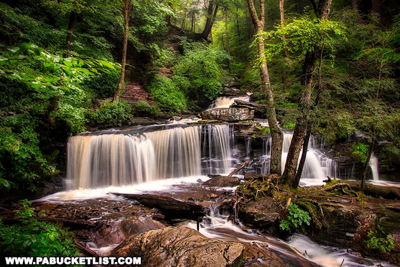
Delaware Falls is followed by Mohican Falls (39′).
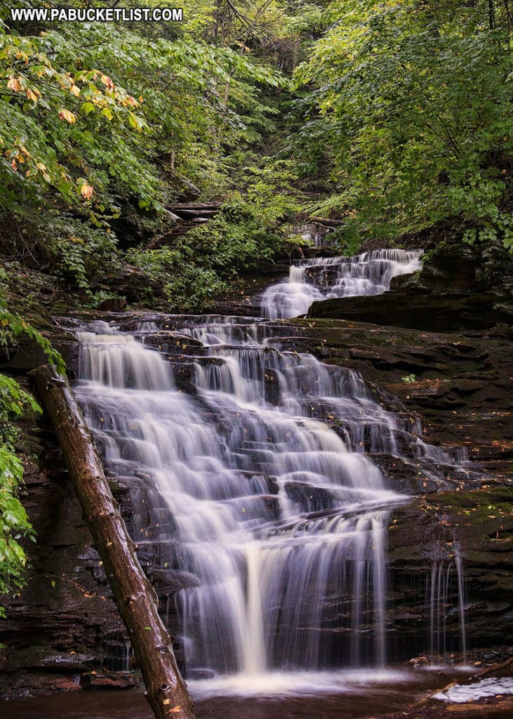
Up next – Conestoga Falls (17′).
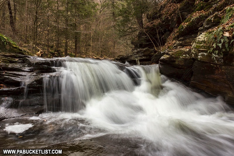
Continuing down the trail, Tuscarora Falls (47′) will come into view.
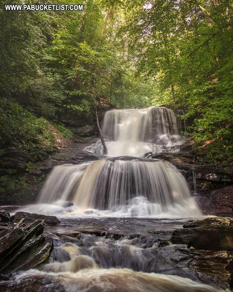
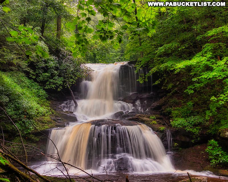
Tuscarora Falls can look vastly different depending on flow, moreso than many of the other falls at Ricketts Glen.
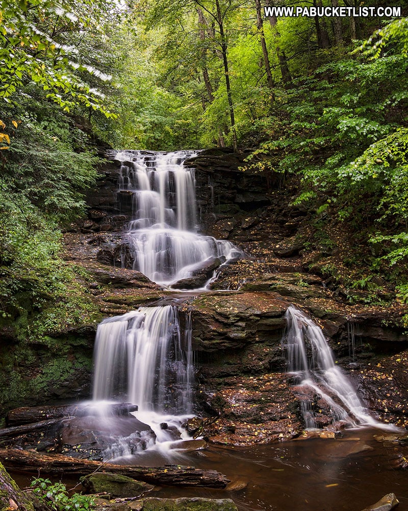
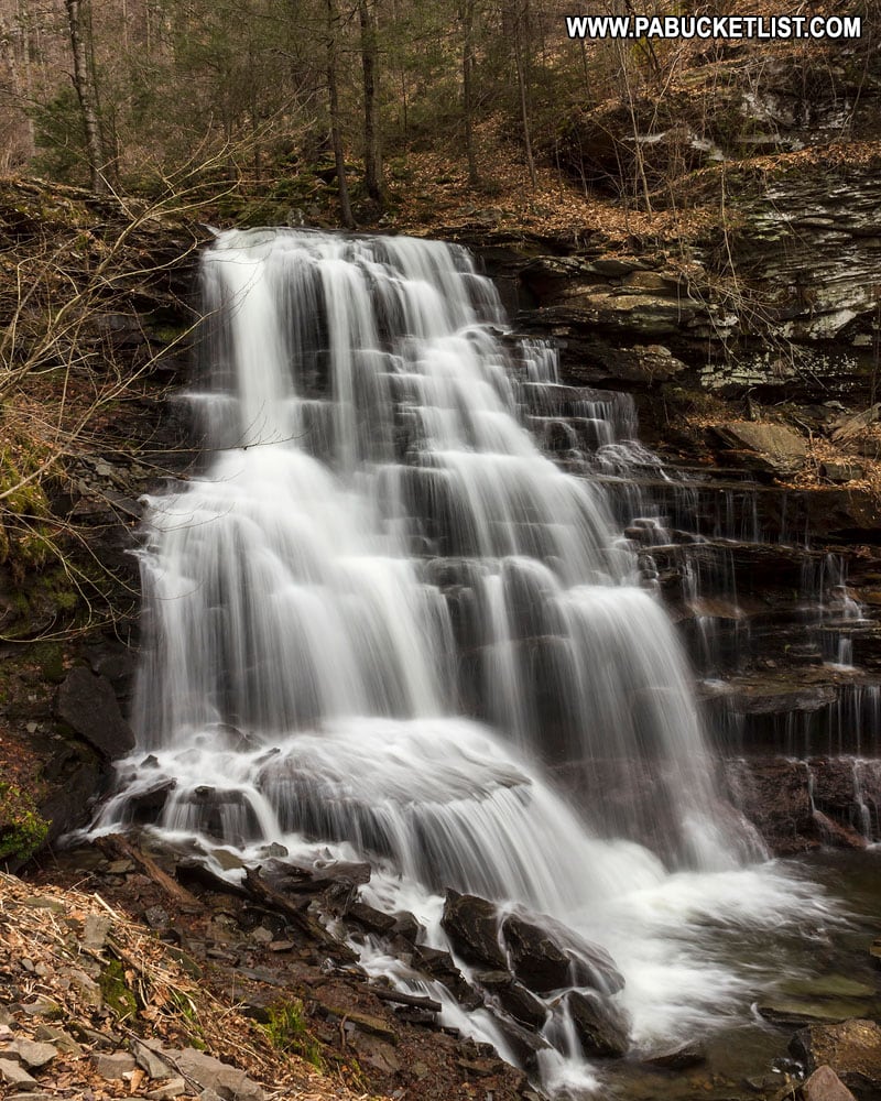
Erie Falls (47′) is the final waterfall on the Ganoga Glen side of the Falls Trail.
Section 2 (0.7 miles) – Waters Meet Loop
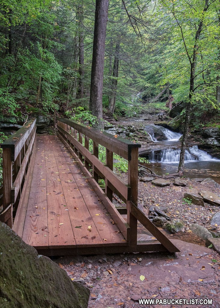
Just downstream from Erie Falls, you’ll come to a spot known as Waters Meet, where the left and right branches of Kitchen Creek merge.
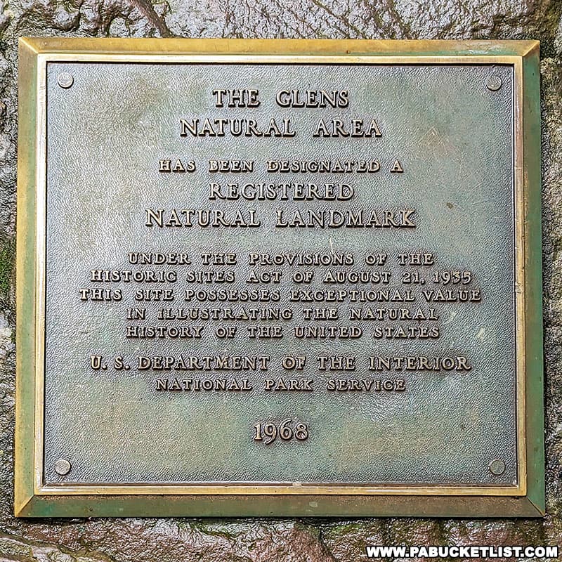
For the time being you are going to continue down Kitchen Creek (in other words – do not cross the bridge yet) as there are 3 more outstanding waterfalls to be seen on this lower section of the Falls Trail.
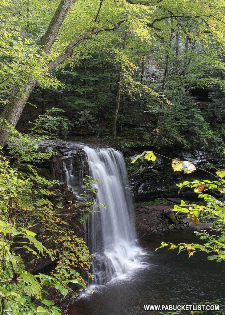
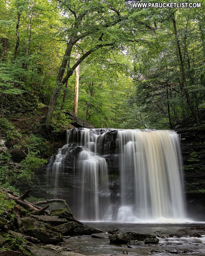
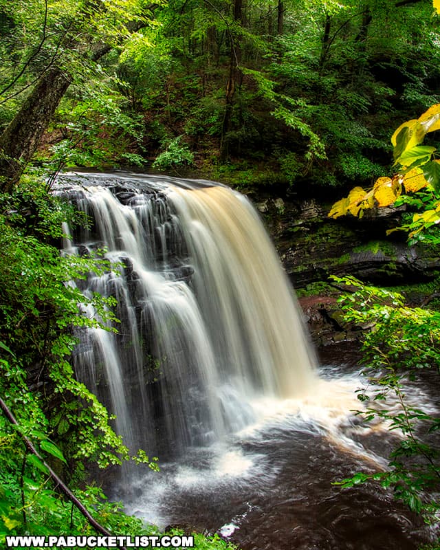
Harrison Wright Falls (27′) will be the first waterfall you come to below Waters Meet – easily one of the most popular and photogenic waterfalls at Ricketts Glen.
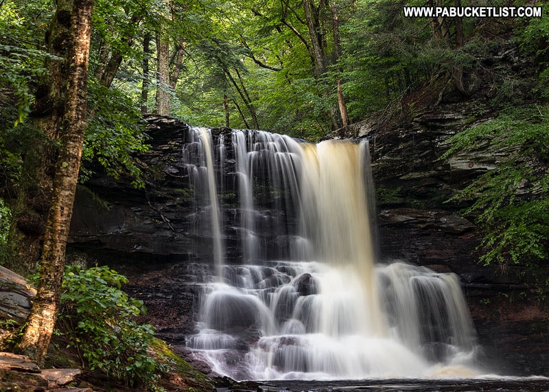
Next up will be Sheldon Reynolds Falls (36′).
Murray Reynolds Falls (16′) is the final waterfall on this section of the Falls Trail.
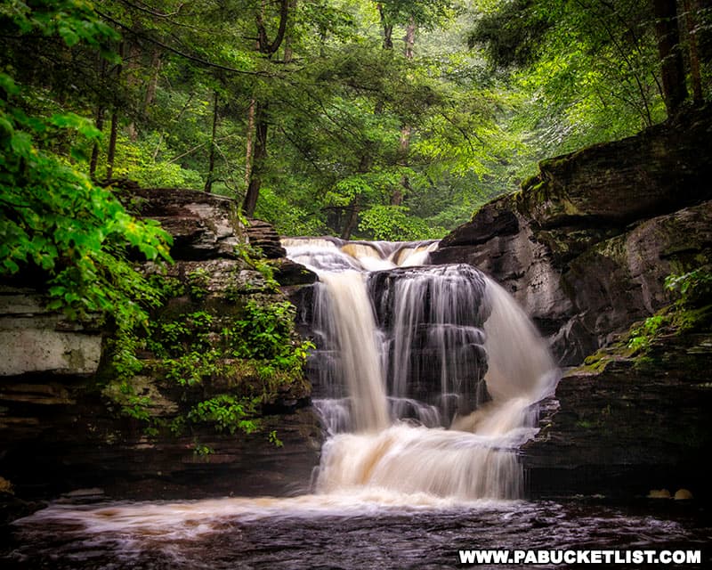
From here you are going to turn around and backtrack to Waters Meet.
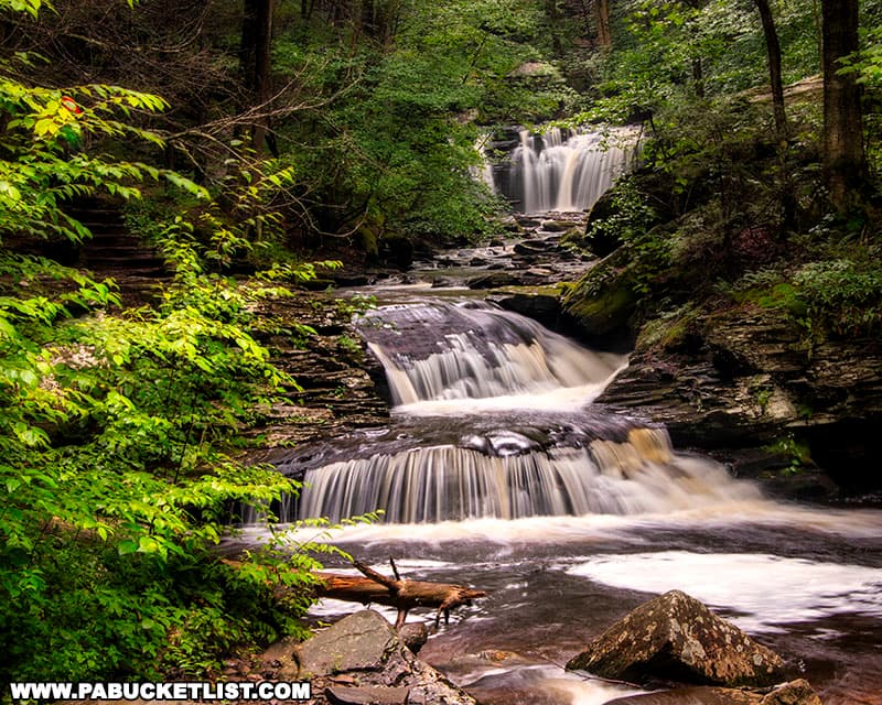
Section 3 (0.8 miles) – Glen Leigh
Back at Waters Meet, you now want to cross the bridge and procede up the Glen Leigh side of the Falls Trail.
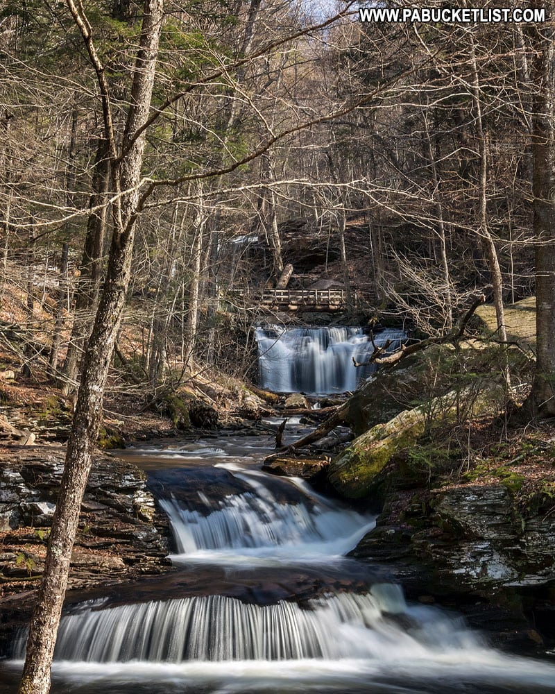
The first waterfall you’ll encounter as you start upstream will be Wyandot Falls (15′).
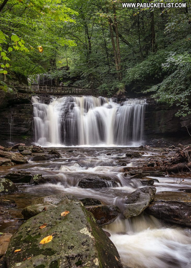
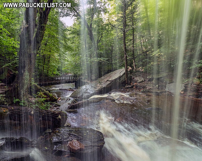
Above that you have B. Reynolds Falls (40′).
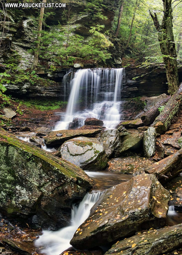
One of the unique things about B. Reynolds Falls is that you can stand behind the falls and look downstream through the veil of water.
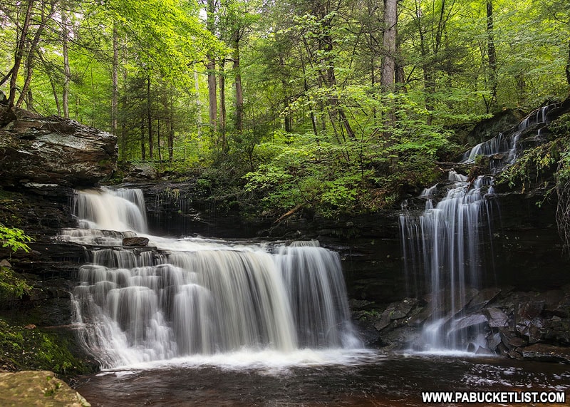
Above B. Reynolds Falls is R.B. Ricketts Falls (36′).
Up next – Ozone Falls (60′).
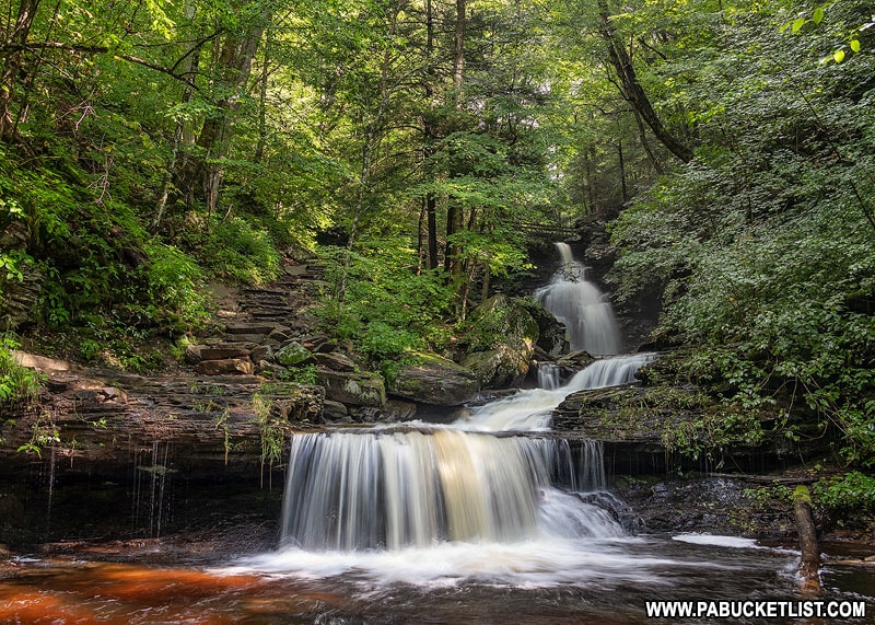
Ozone Falls is the second-tallest waterfall at Ricketts Glen State Park.
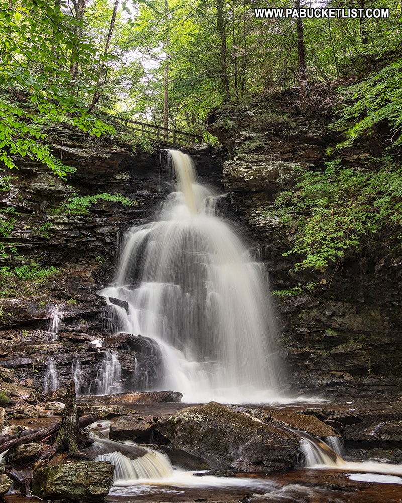
Upstream from Ozone Falls is Huron Falls (41′).
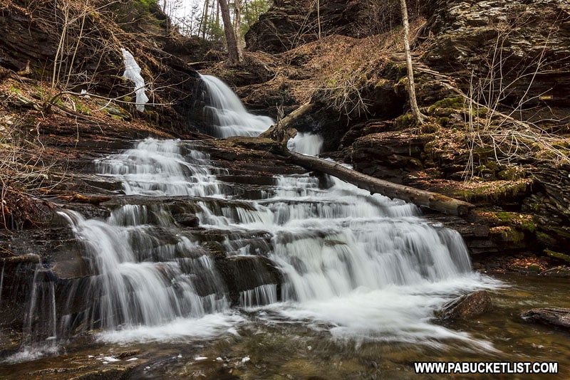
Huron Falls is followed by Shawnee Falls (30′).
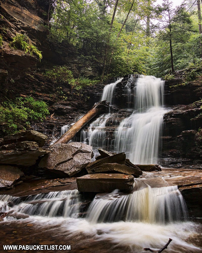
After Shawnee Falls comes F.L. Ricketts Falls (38′).
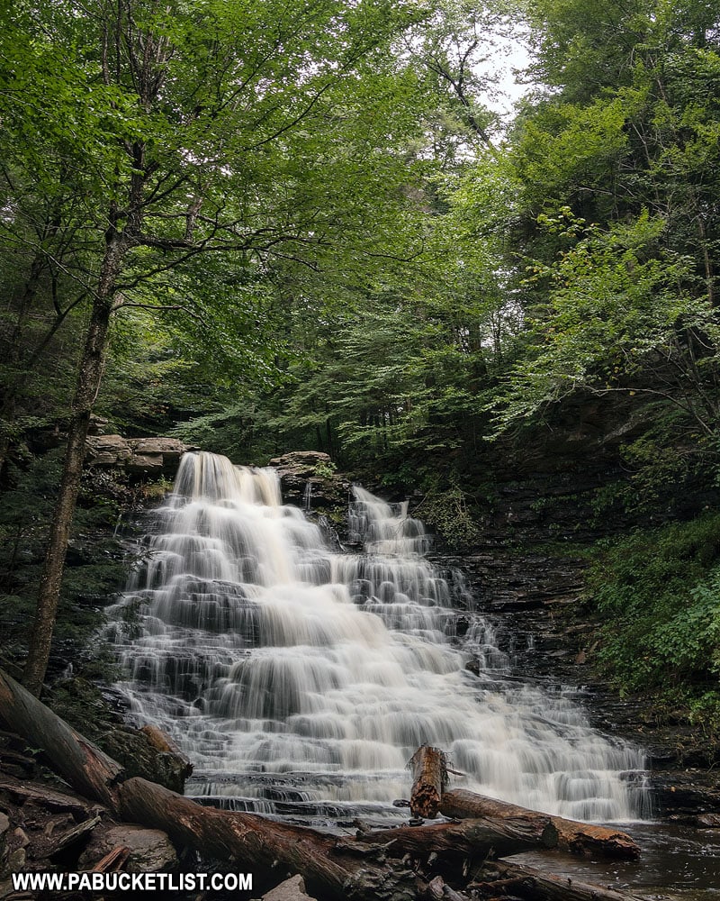
And then comes the final waterfall on the Glen Leigh ascent – Onodoga Falls (15′).
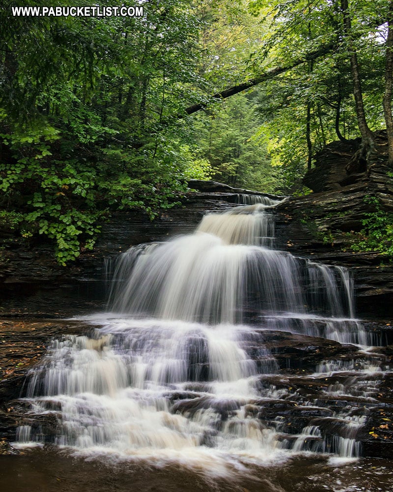
Just above Onondoga Falls, the trail crosses over Kitchen Creek and you’re ready for the final segment of the hike.
Section 4 (1.2 miles) – Highland Trail
The last leg of the journey is a relatively flat 1.2 mile journey along the Highland Trail, passing through a boulder field called Midway Crevasse.
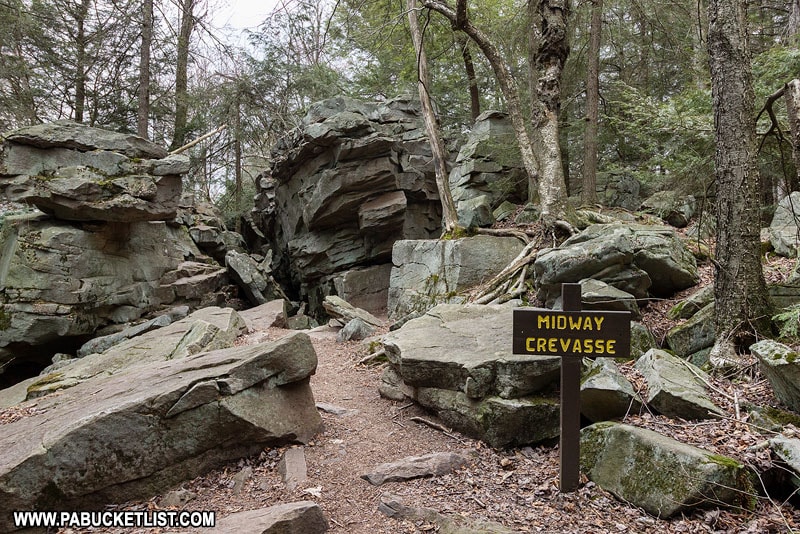
From Midway Crevasse, it’s a 10 minute hike to your vehicle back at the Lake Rose Trailhead.
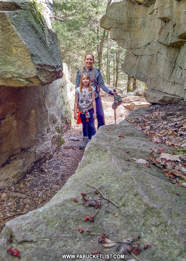
Congratulations!
You’ve just completed one of the most iconic hikes in Pennsylvania!
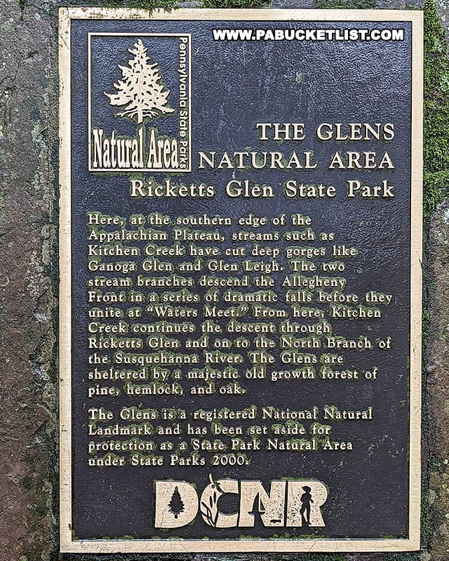
Final Thoughts
When you follow the route I’ve outlined in this write-up, you’ll cover approximately 3.9 miles of trail and see all 21 named waterfalls along the Falls Trail at Ricketts Glen.
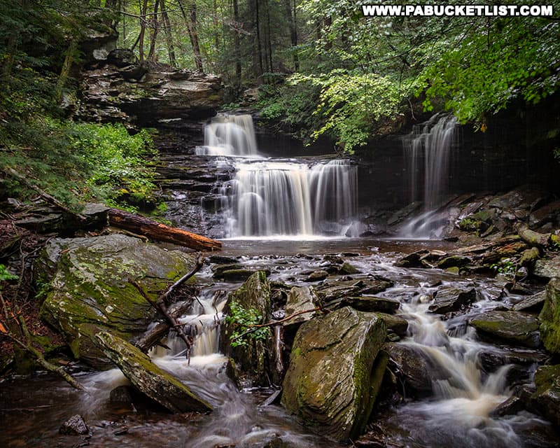
How long the hike takes is entirely up to you, but generally when I take my family along it ends up being between 4 and 4.5 hours.
I strongly recommend wearing hiking boots or some other shoes with ankle support (NOT flip-flops or sandals).
Take a backpack with snacks and drinks, but please pack your trash out!
And above all – make lots of memories and take lots of pictures!
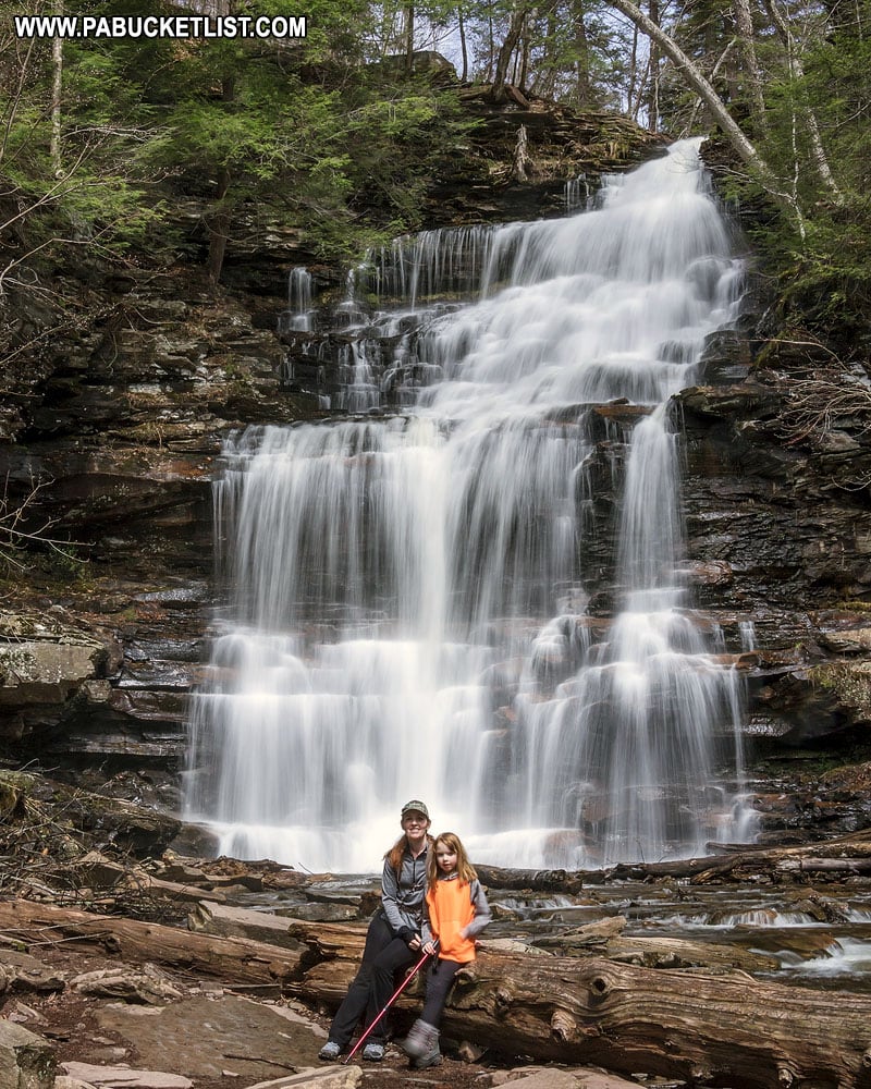
Nearby Attractions
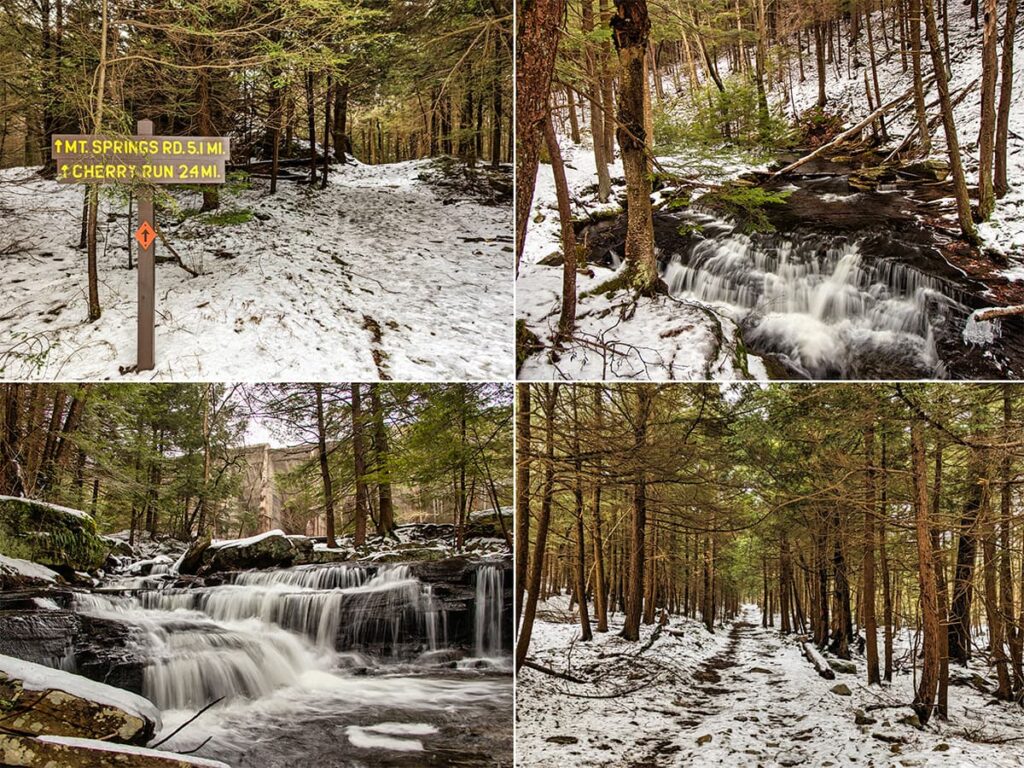
The Mountain Springs – Cherry Run loop is arguably the SECOND best loop hike at Ricketts Glen State Park.
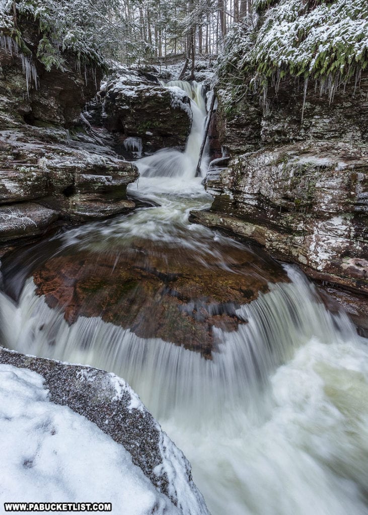
Adams Falls is the easiest-to-reach waterfall at Ricketts Glen, located just off of Route 118 along the Evergreen Trail.
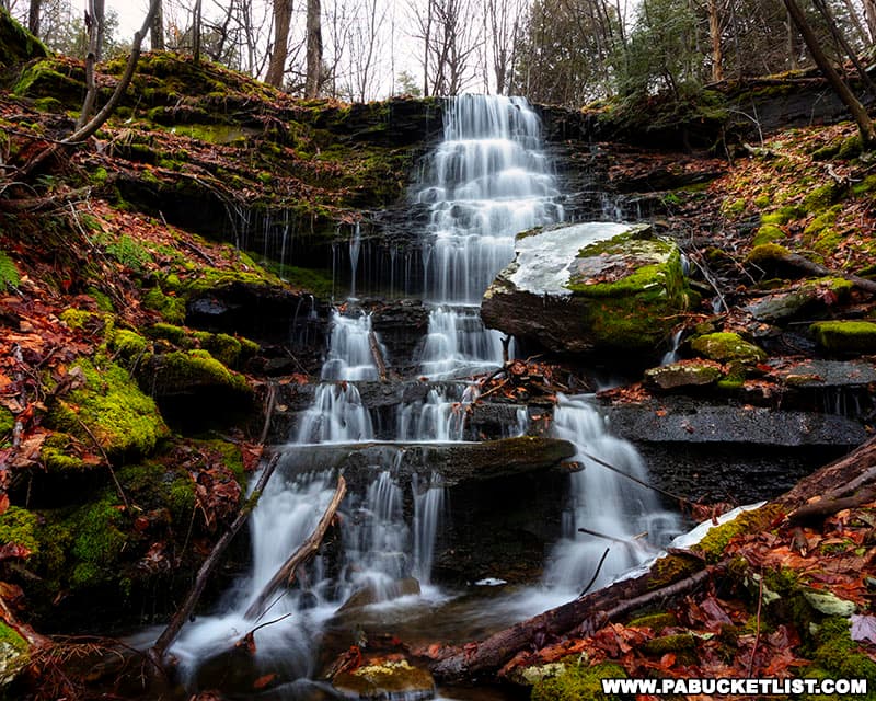
Maple Spring Falls is a 15 foot-tall, off-trail waterfall at Ricketts Glen State Park.
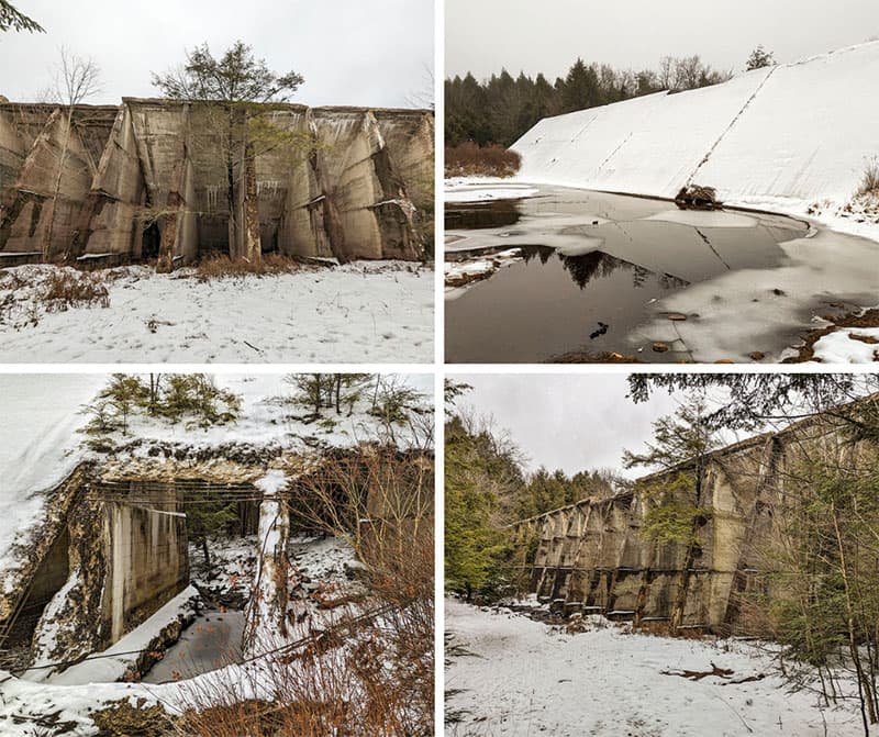
The abandoned Lake Leigh Dam at Ricketts Glen State Park is a towering remnant of an ill-fated hydroelectric project that thankfully failed!
Little Shickshinny Falls is located on State Game Lands 260, also in Luzerne County.
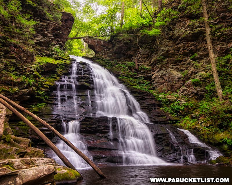
Looking for something a little more off the beaten path?
Then check out my write-up on the 28 best waterfalls in neighboring Sullivan County.
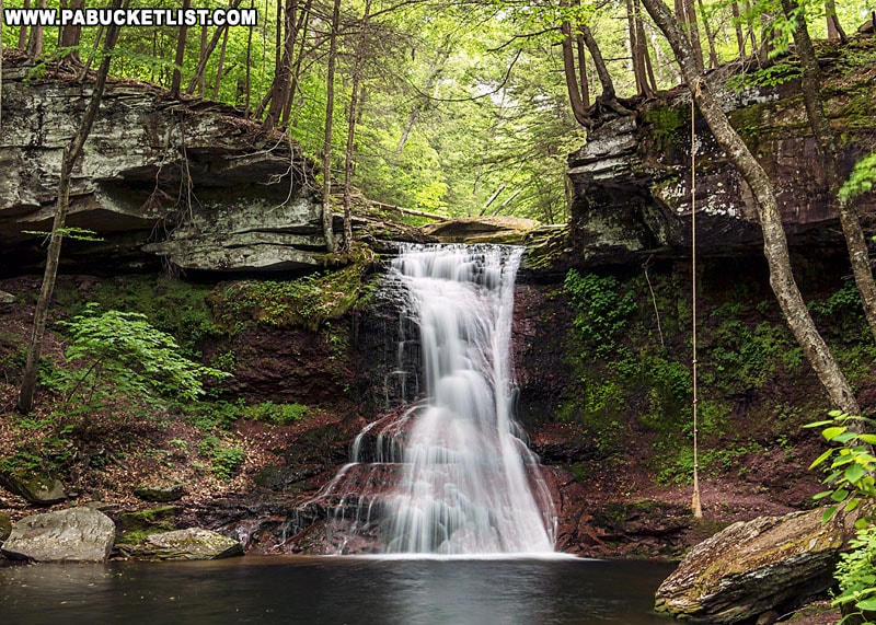
Also be sure to check out 27 Must-See Waterfalls in the Poconos for an in-depth look at many of eastern Pennsylvania’s finest waterfalls.
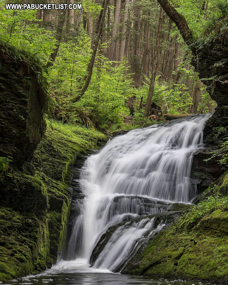
And if you STILL can’t get enough of the waterfalls, check out my Ultimate Pennsylvania Waterfalls Guide, with directions to hundreds of the best waterfalls in PA!

Looking for something COMPLETELY different to do in Luzerne County?
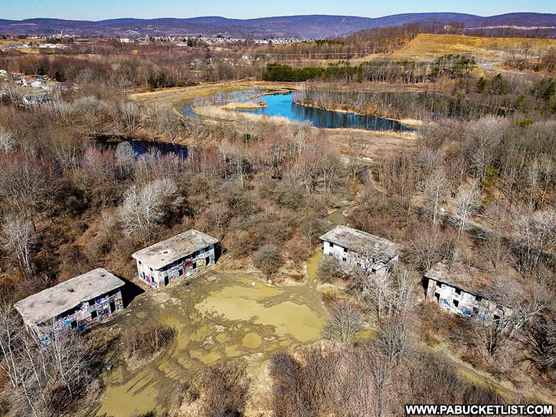
Concrete City, on the outskirts of Nanticoke, is an abandoned early-1900s industrial housing complex.
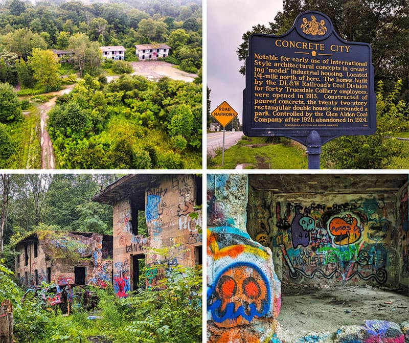
Now owned by the city of Nanticoke, Concrete City is a fascinating example of the longevity as well as shortcomings of early concrete architecture.
Did you enjoy this article?
If so, be sure to like and follow PA Bucket List on Facebook, Instagram, and/or Pinterest to stay up-to-date on my latest write-ups about the best things to see and do in Pennsylvania!
Click on any of the icons below to get connected to PA Bucket List on social media.


