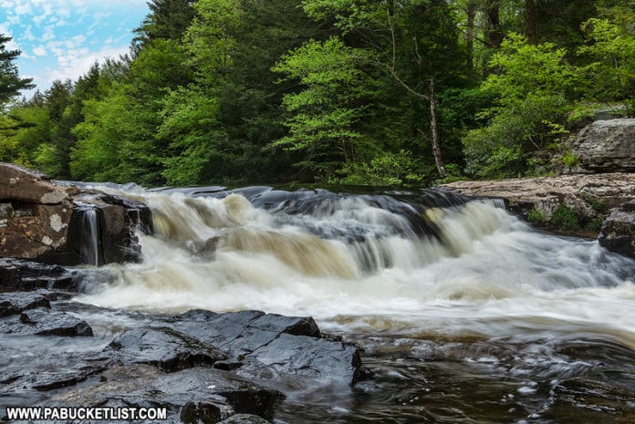
Tobyhanna Falls in Monroe County is an easy 0.4 mile hike (one way) along the Tobyhanna Creek in the Austin T. Blakeslee Natural Area.
Getting There
How to Find Tobyhanna Falls in Monroe County
- Navigate to the Tobyhanna Falls Parking Area along Route 115, next to the bridge over Tobyhanna Creek.
GPS coordinates for the Tobyhanna Falls Parking Area: 41.08306, -75.58440
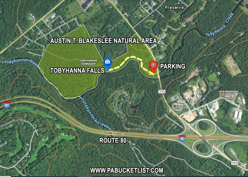
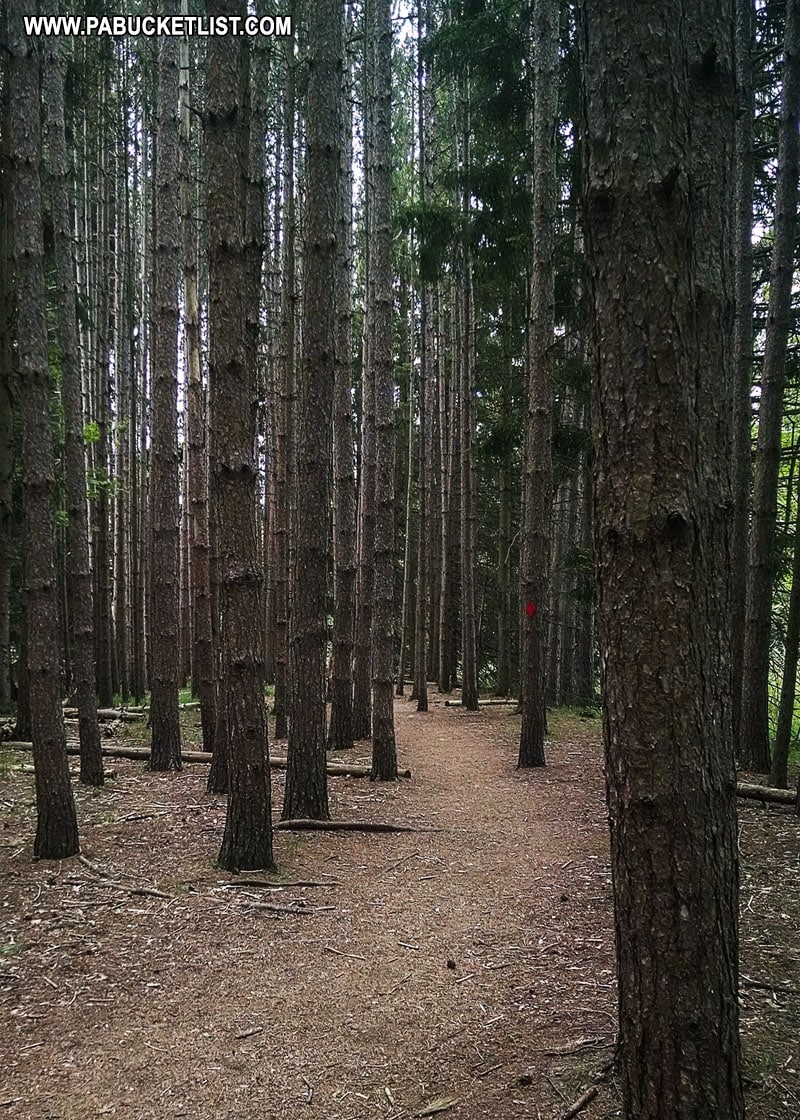
- Follow the red-blazed trail west, away from the parking lot and towards a forest of tall pines.
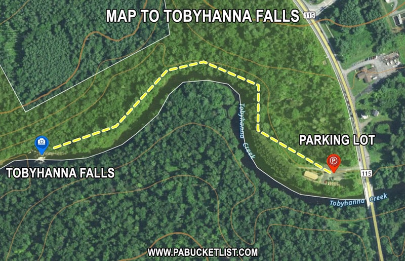
- Hike through the forest, along the edge of Tobyhanna Creek, for 0.4 miles.
- Arrive at Tobyhanna Falls.
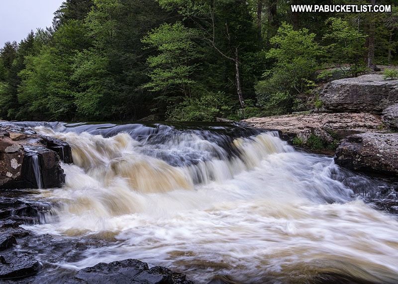
Tobyhanna Falls is certainly not one of the tallest waterfalls you’ll see in the Poconos!
But it makes for a quick, relaxing hike along a fairly level trail.
Its close proximity to Route 80 also makes it a great pitstop on your way to and from some of the other waterfalls in the region, such as Nay Aug Falls in Scranton.
Nearby Attractions
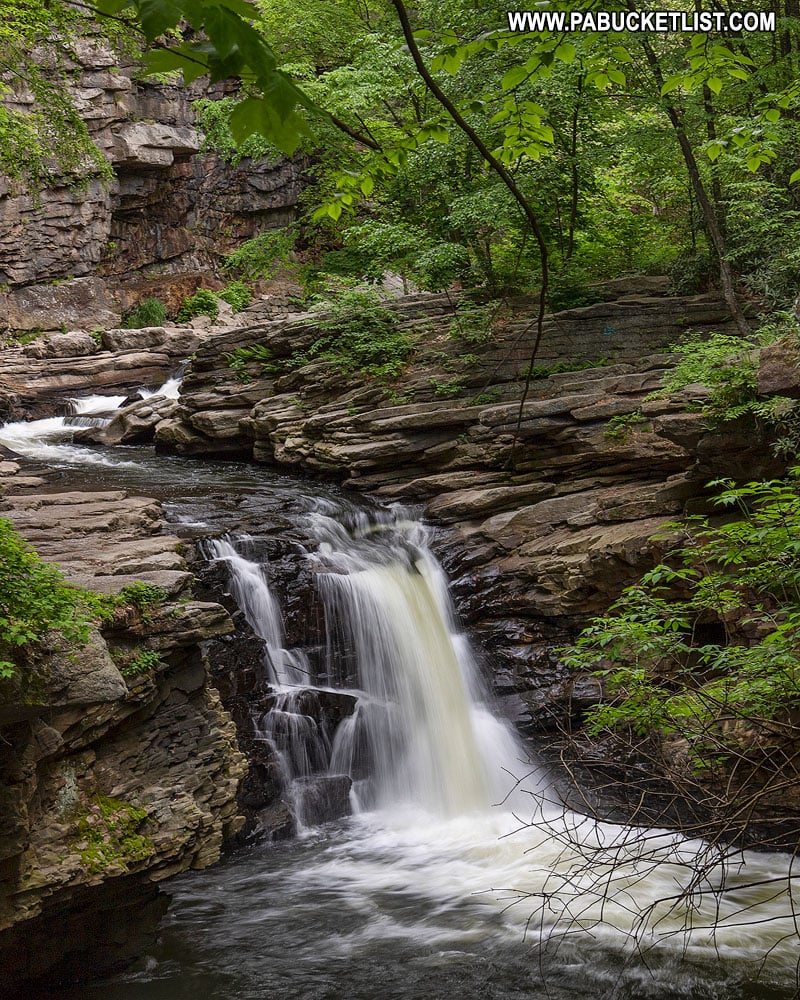
Little Shickshinny Falls is a beautiful 25-foot tall waterfall located on State Game Lands 260 in Luzerne County, Pennsylvania.
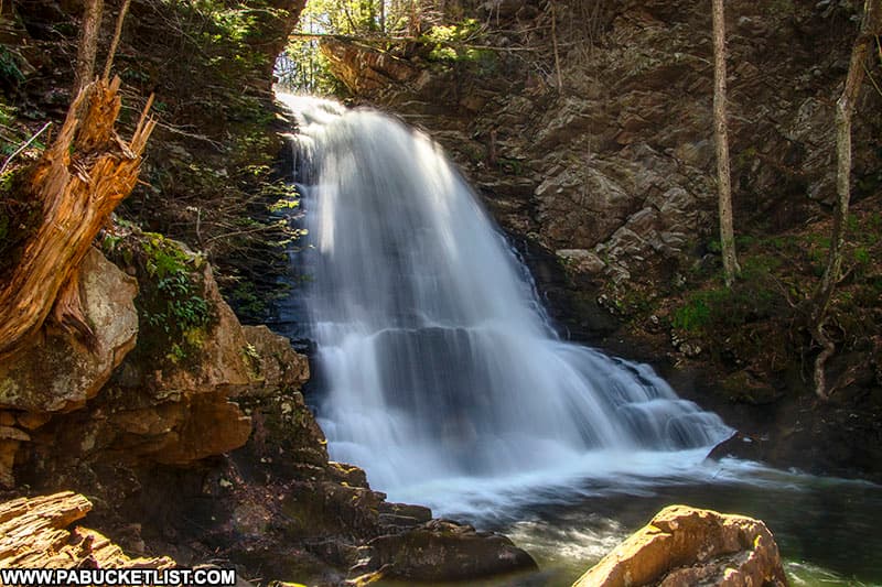
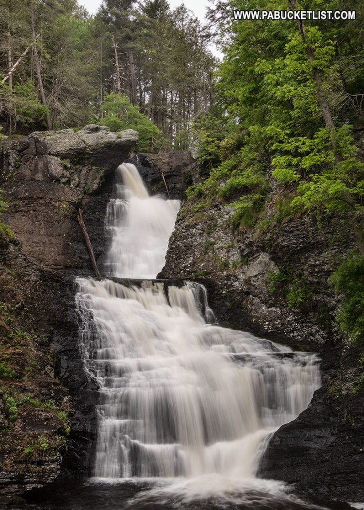
Also be sure to check out 36 Must-See Waterfalls in the Poconos for an in-depth look at many of eastern Pennsylvania’s finest waterfalls.
The Pocono Indian Museum in Monroe County highlights the rich history and culture of the Lenape, also known as the Delaware Indians, the original inhabitants of the Pocono Mountains.

Find even more great spots to explore in Monroe County and all across Pennsylvania with the interactive PA Bucket List Travel Map!
Did you enjoy this article?
If so, be sure to like and follow PA Bucket List on Facebook, Instagram, and/or Pinterest to stay up-to-date on my latest write-ups.
Click on any of the icons below to get connected to PA Bucket List on social media!


