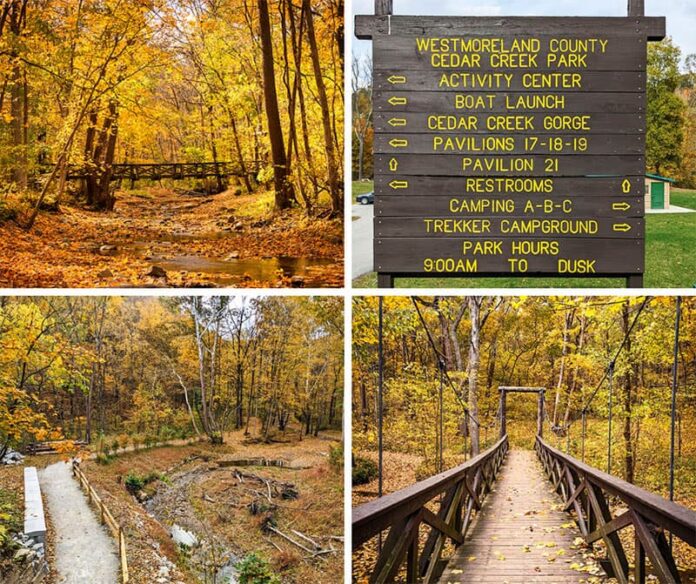
The Cedar Creek Gorge Trail is a beautiful 1.5 mile loop hike featuring two suspension bridges over Cedar Creek in Westmoreland County.
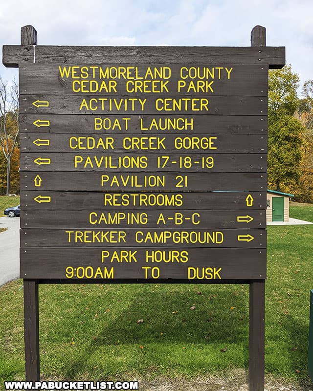
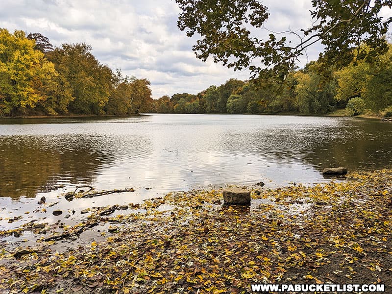
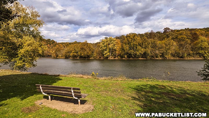
The trail is located in Cedar Creek Park, a 479 acre county park located on the banks of the Youghiogheny River.
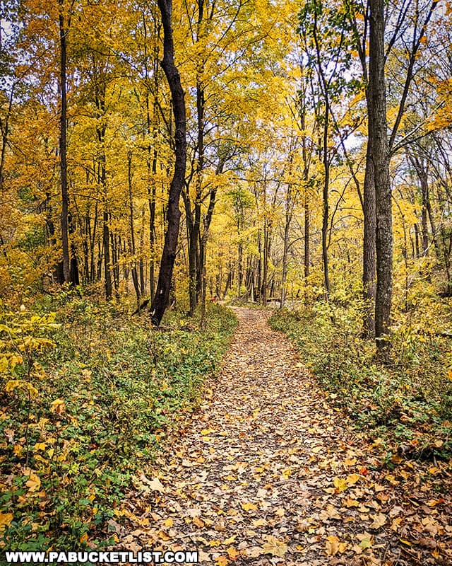
An easy hike through a picturesque wooded setting, the Cedar Creek Gorge Trail is a great destination any time of year.
Directions to the Cedar Creek Gorge Trail
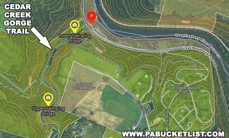
The trailhead for this hike is located at the end of Evergreen Drive, right next to the spot where Cedar Creek empties into the Youghiogheny River.
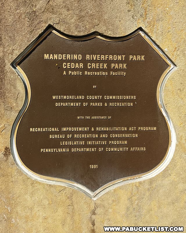
This portion of the park is designated as Manderino Riverfront Park, as indicated by a plaque near the parking lot.
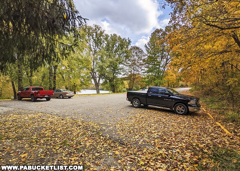
If navigating by GPS, use coordinates 40.17872, -79.77847 to find this large paved lot nestled between the Youghiogheny River and the Great Allegheny Passage.
Hiking the Cedar Creek Gorge Trail
The Cedar Creek Gorge Trail can be done as either a loop hike or an out-and back hike, but either way you’re looking at roughly 1.5 miles of hiking if you want to see both suspension bridges.
The trailhead is easily spotted by looking for the split-rail fence that runs alongside the first section of the trail.
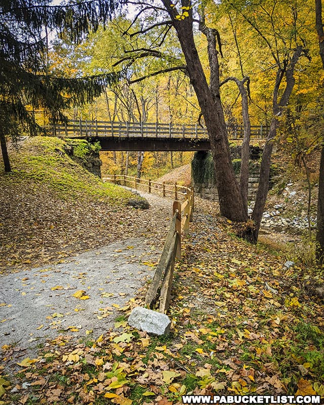
The Great Allegheny Passage crosses over and above the Cedar Creek Gorge Trail via the Cedar Creek Bridge, which is quite scenic in its own right.
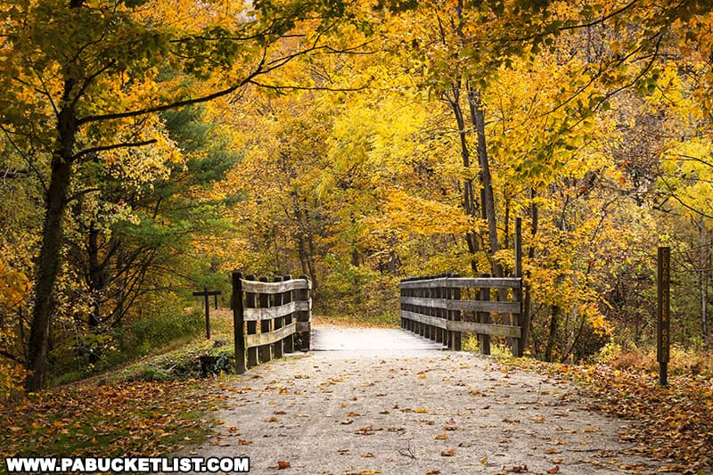
This bridge also affords you a nice elevated view of the Cedar Creek Gorge Trail.
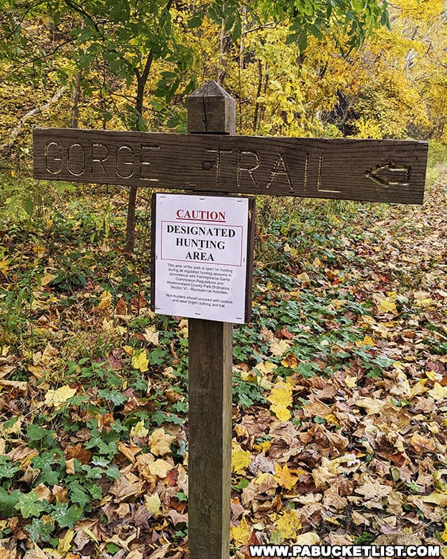
The Cedar Creek Gorge Trail passes through a designated hunting area, so wear bright clothing (ideally an article of blaze orange clothing) if hiking here in the fall.
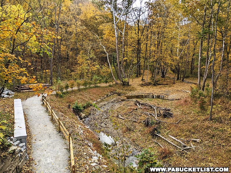
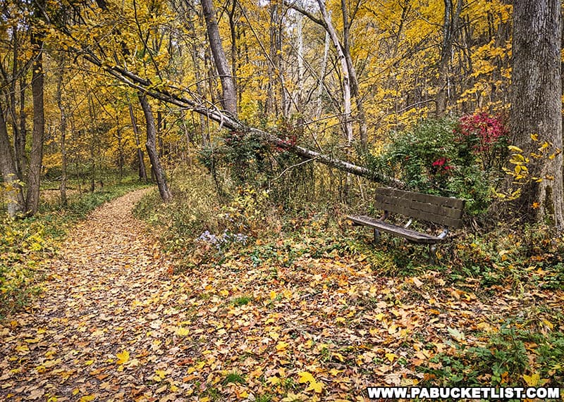
The creekside portion of this trail is essentially flat and makes for an easy hike, with benches located at several spots to rest or reflect if you choose.
The Swinging Bridges along the Cedar Creek Gorge Trail
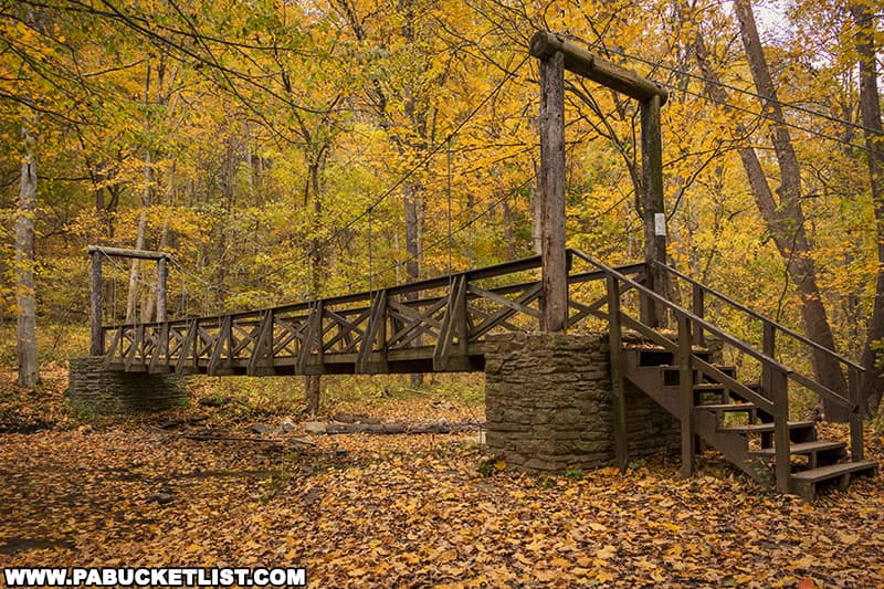
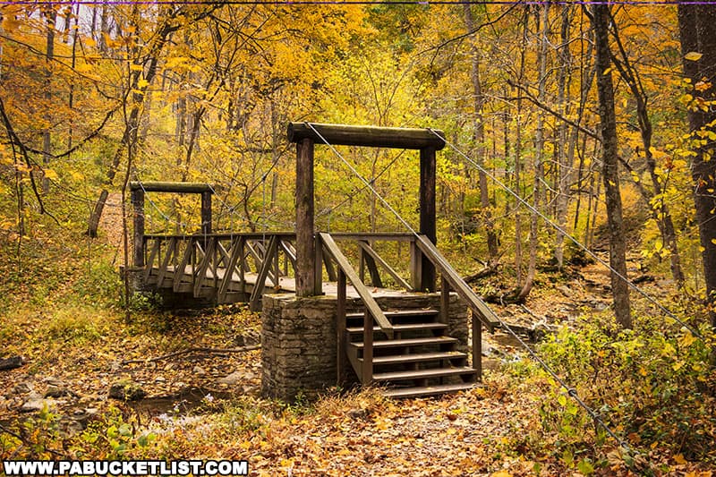
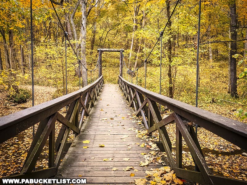
The Cedar Creek Gorge Trail features two suspension bridges, each one crossing over Cedar Creek.
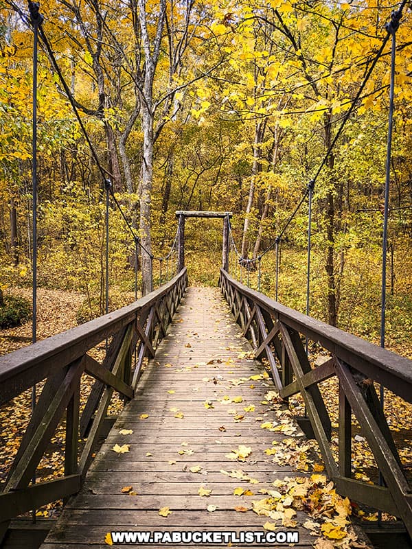
The first one you’ll encounter is located just 200 yards from the trailhead.
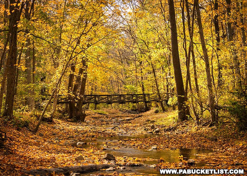
The second swinging bridge is located 0.7 miles from the trailhead.
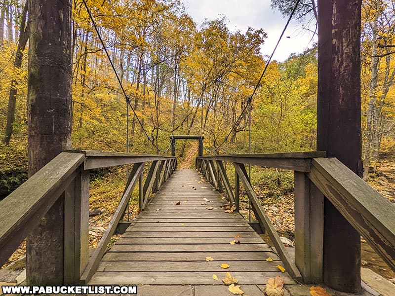
Both bridges are nearly identical and solidly built, with very little sway as you cross them.
Other Features of the Cedar Creek Gorge Trail
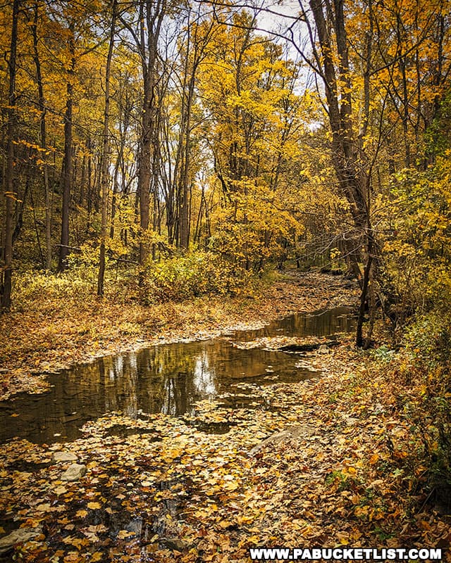
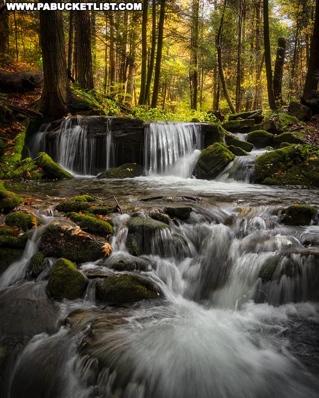
In addition to the suspension bridges, this hike gives you almost continuous views of Cedar Creek itself.
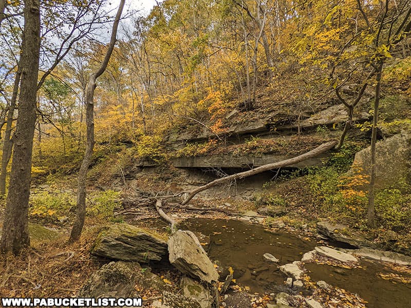
Numerous rock outcroppings jut out over Cedar Creek as well.
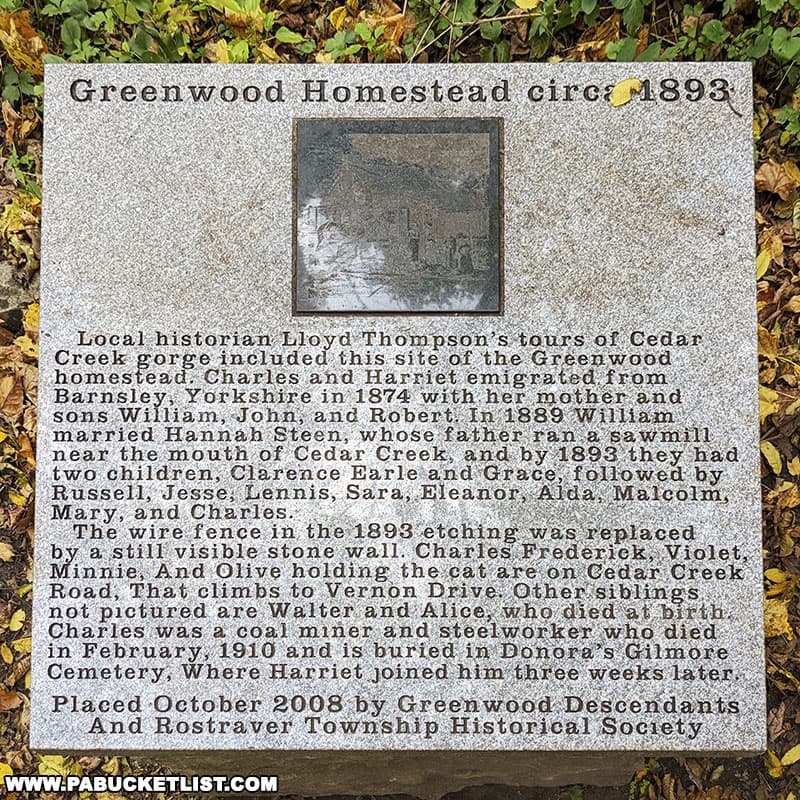
You’ll encounter a number of historical markers along the trail.

Each one commemorates a structure that once existed along what is now the Cedar Creek Gorge Trail.
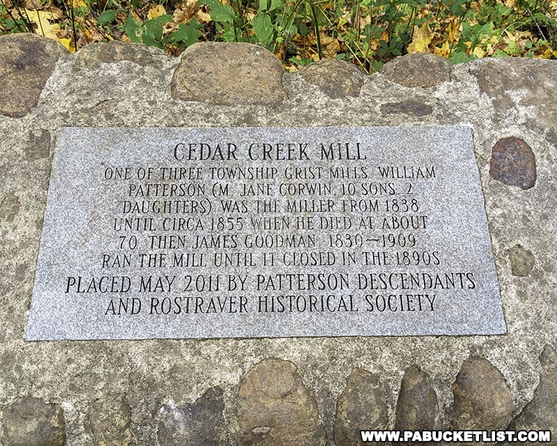
Although this gorge seems quite serene now, it was once a bustling center of industry and home to a number of people.
Once you cross the upper/second suspension bridge, you can either take the obvious upper trail back to the parking area, or simply retrace your steps along the creekside portion of the trail back to where you started.
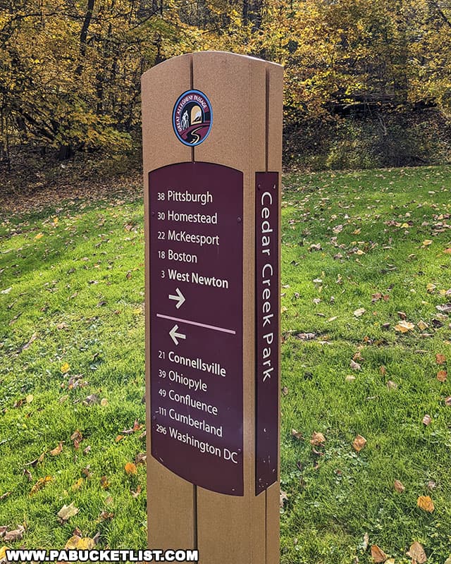
If you have time and are looking to do more hiking, the Great Allegheny Passage provides mile after mile of smooth, flat surface to do so.
You can download a free PDF version of the park map (which includes the Cedar Creek Gorge Trail) from Westmoreland County’s official website.
Nearby Attractions
17 Must-See Attractions in Westmoreland County is your guide to even more great things to see and do close to the Cedar Creek Gorge Trail.
Did you enjoy this article?
If so, be sure to like and follow PA Bucket List on Facebook, Instagram, and/or Pinterest to learn more about the best things to see and do in Pennsylvania!
Click on any of the icons below to get connected to PA Bucket List on social media.


