Exploring Angel Falls in the Loyalsock State Forest

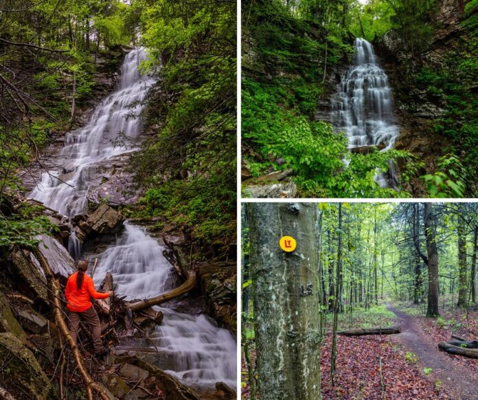
A collage of three images near Angel Falls in Loyalsock State Forest, featuring a hiker at the base of the 70-foot waterfall surrounded by rocky terrain and dense forest, a full view of the cascading falls framed by greenery and cliffs, and a yellow-blazed section of the Loyalsock Trail winding through a damp, wooded landscape in Sullivan County, Pennsylvania.

If you’re looking for directions to Angel Falls in the Loyalsock State Forest, you’re in the right place!
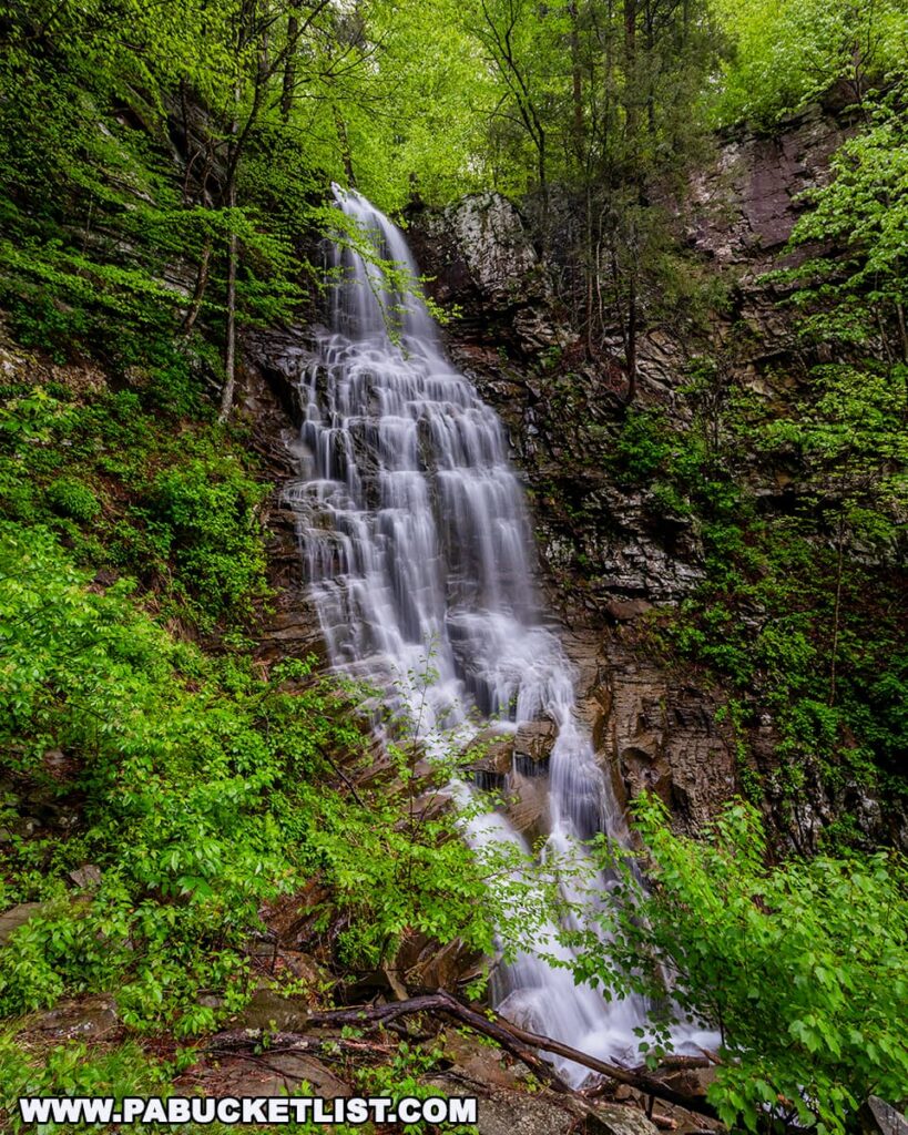
A tall, tiered cascade of Angel Falls plunges 70 feet over a rugged cliffside in the Loyalsock State Forest, framed by vibrant spring foliage and jagged rock walls, showcasing the tallest waterfall in Sullivan County, Pennsylvania.

At 70 feet tall, Angel Falls is considered the tallest waterfall in the Loyalsock State Forest.
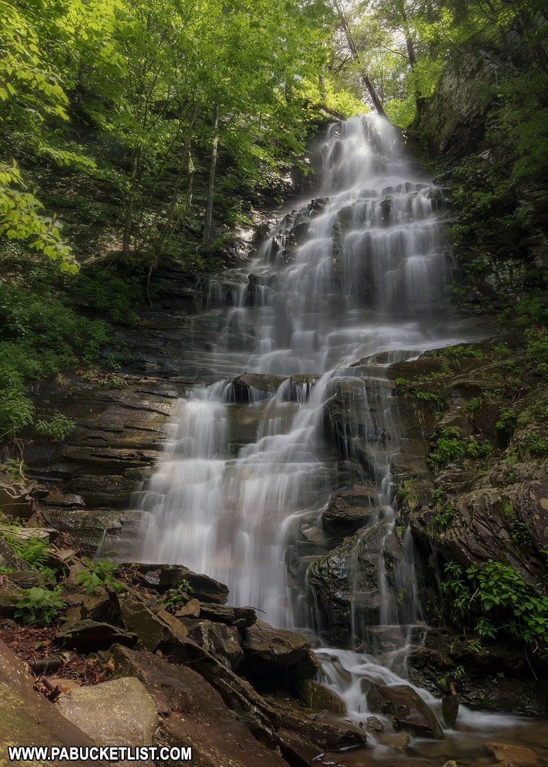
Summer at Angel Falls in Sullivan County, Pennsylvania.
Summer at Angel Falls in Sullivan County.

As if that weren’t enough to garner your interest, just below Angel Falls lies Gipson Falls, a fantastic 20-footer in its own right.
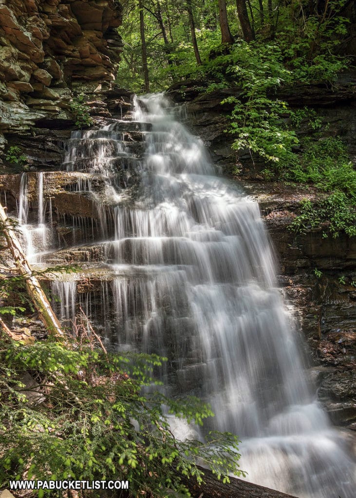
A summer afternoon at Gipson Falls in the Loyalsock State Forest.

Directions to Angel Falls

Thanks to a 2025 reroute of the Loyalsock Trail, getting to Angel Falls (and Gipson Falls right below it) is easier than ever.
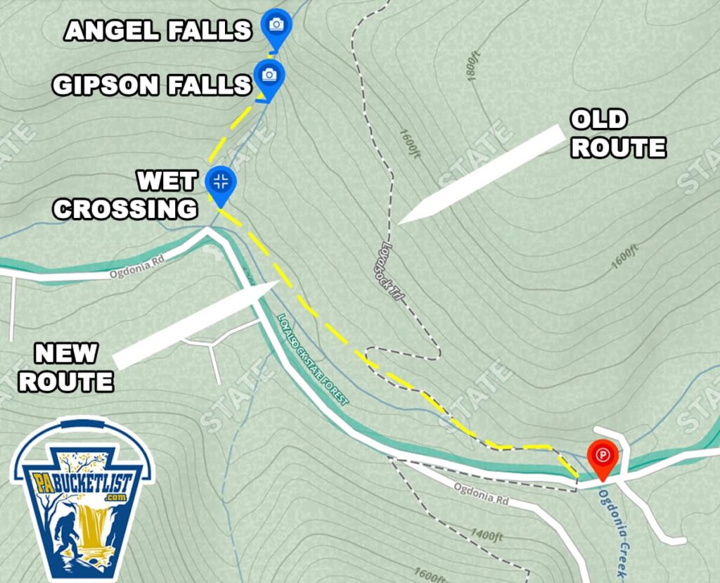
A trail map showing the route to Angel Falls in Loyalsock State Forest, highlighting the new trail route, old trail route, wet crossing at Falls Creek, and the locations of Angel Falls and Gipson Falls, with Ogdonia Road and the trailhead parking area marked for reference in Sullivan County, Pennsylvania.

Parking is at the trailhead lot along Brunnerdale Road, pictured below.
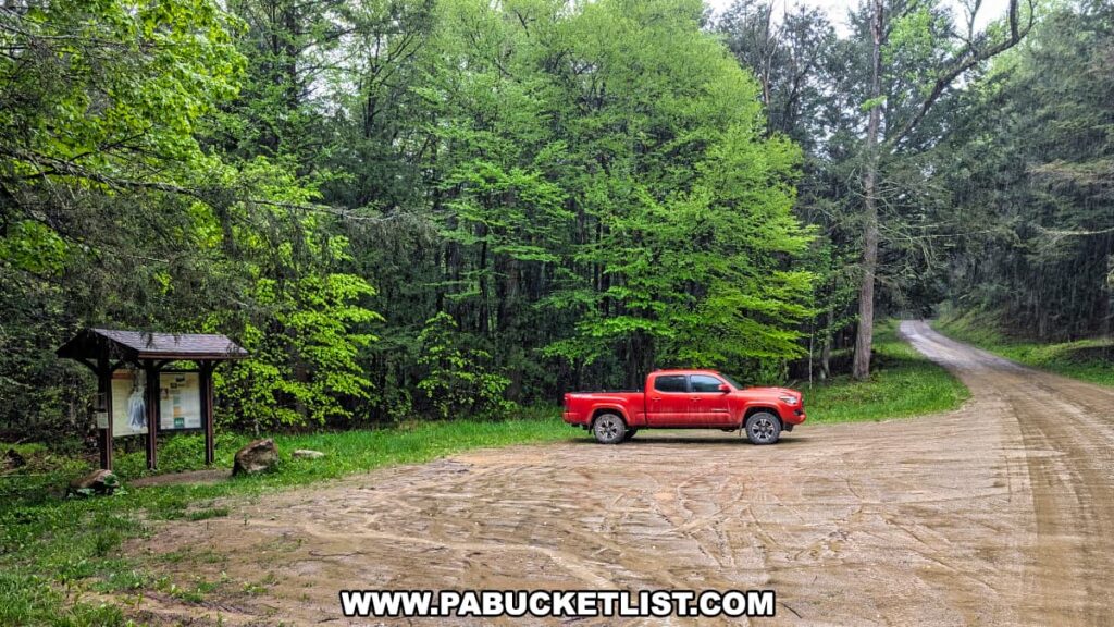
A small trailhead parking area along Brunnerdale Road in the Loyalsock State Forest near Angel Falls, featuring a red pickup truck parked beside a wooden information kiosk, with dense green forest in the background and a dirt road curving into the trees.

If navigating by GPS coordinates, use 41.38518, -76.66822 to find the parking lot.


From here, it’s a simple 1 mile hike along the Loyalsock Trail to Angel Falls.
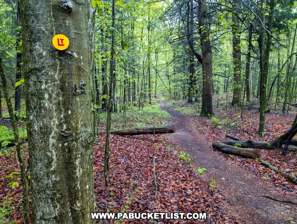
A peaceful stretch of the Loyalsock Trail near Angel Falls in Sullivan County, Pennsylvania, featuring a gently winding dirt path through a rain-soaked forest, with a yellow LT trail marker nailed to a tree in the foreground and fallen logs scattered along the leaf-covered ground.

The first 2/3rds of the hike is essentially flat as you follow the Loyalsock Trail along Ogdonia Creek.
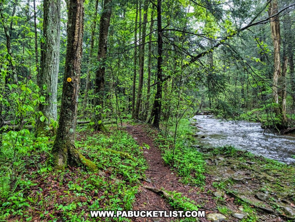
A scenic section of the Loyalsock Trail near Angel Falls in Sullivan County, Pennsylvania, featuring a narrow dirt path running parallel to a swiftly flowing creek, with lush green undergrowth and a yellow LT trail marker visible on a tree trunk beside the trail.

At roughly 1/3 of a mile into the hike, you’ll be directed onto the new, rerouted version of the Loyalsock Trail.
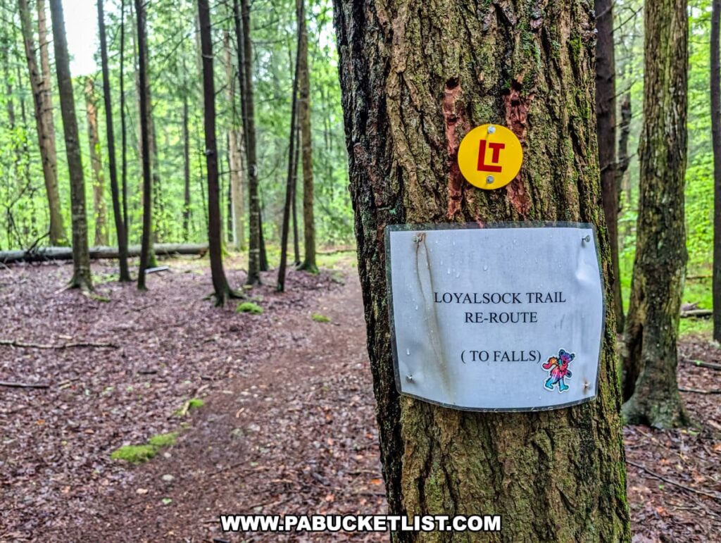
A tree along a forest trail in the Loyalsock State Forest marked with a yellow circular Loyalsock Trail blaze and a laminated sign indicating a re-route of the trail toward Angel Falls, surrounded by a damp woodland setting with tall, slender trees and a soft, leaf-covered path.

You’ll continue along the LT for another 1/3 of a mile until you reach a wet crossing (pictured below) of Falls Run.
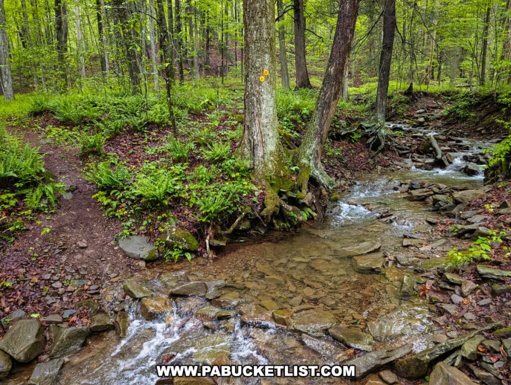
A shallow stream crossing along the Loyalsock Trail near Angel Falls in Sullivan County, with clear water flowing over rocks and a well-worn footpath leading into a lush forest of ferns and tall trees, marked by two yellow trail blazes on a tree beside the creek.

From here, you’ll hike the final 1/3rd of a mile uphill, climbing along Falls Run to reach Angel Falls.
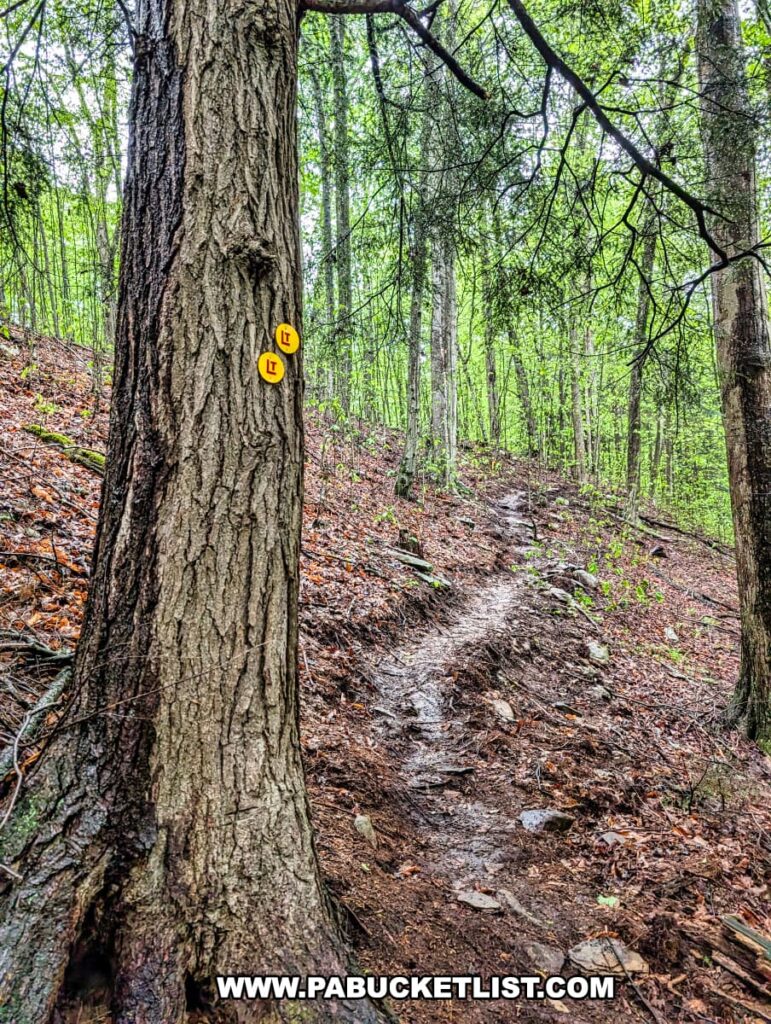
A rugged section of the Loyalsock Trail near Angel Falls in Sullivan County, Pennsylvania, showing a narrow, rocky path climbing uphill through a dense forest of tall trees, with two yellow Loyalsock Trail markers affixed to a large tree in the foreground.

Both Gipson Falls and Angel Falls above it are marked with blue spur trail markers along the LT.
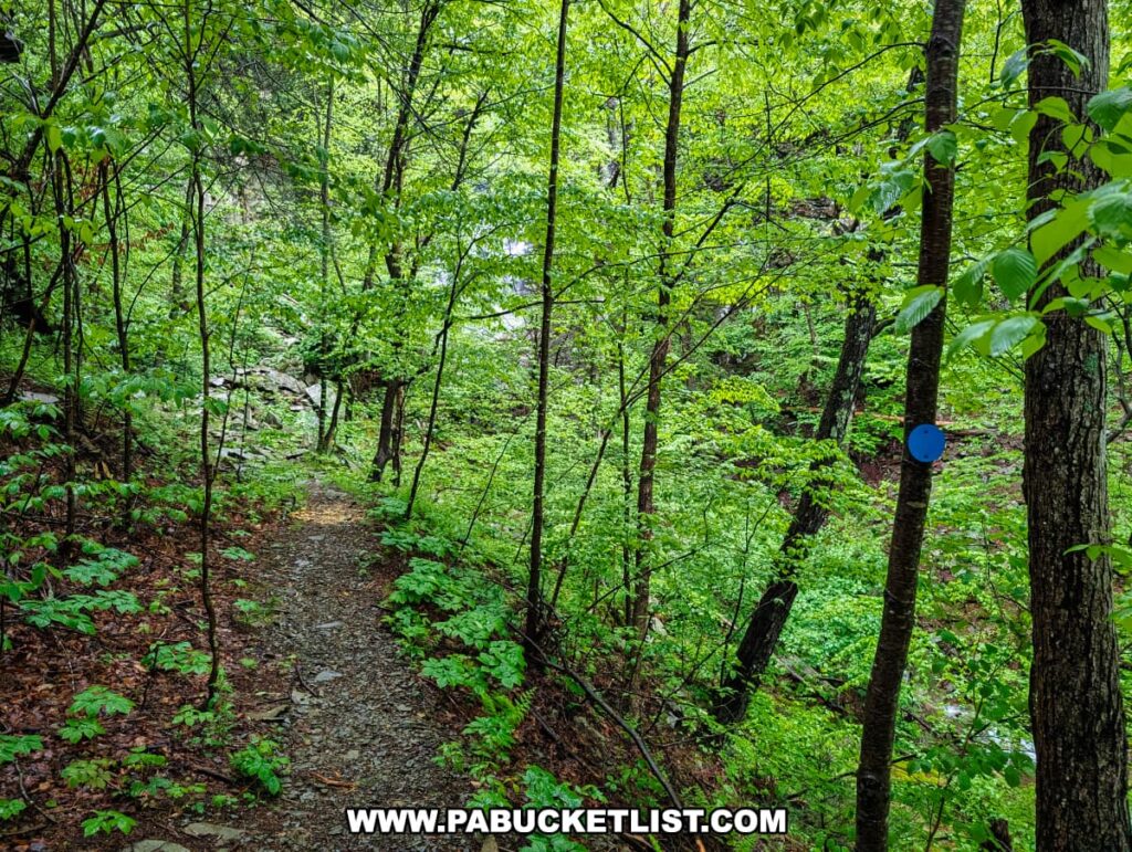
A rocky footpath winds through dense green forest along the blue-blazed spur trail leading to Angel Falls in Loyalsock State Forest, with small trees and undergrowth flanking the narrow trail as it descends toward a rocky stream valley.

On my most recent visit I elected to visit Angel Falls first, stopping at Gipson Falls to my way back down the trail.
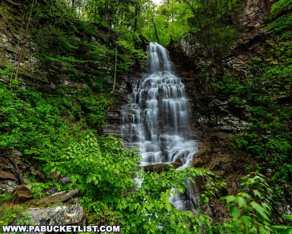
A front-facing view of Angel Falls, the tallest waterfall in Loyalsock State Forest, with water gracefully cascading 70 feet down a rugged rock face surrounded by lush greenery and steep forested cliffs in Sullivan County, Pennsylvania.
Angel Falls – May 2025.

No matter which order you do them in, make sure to visit both.
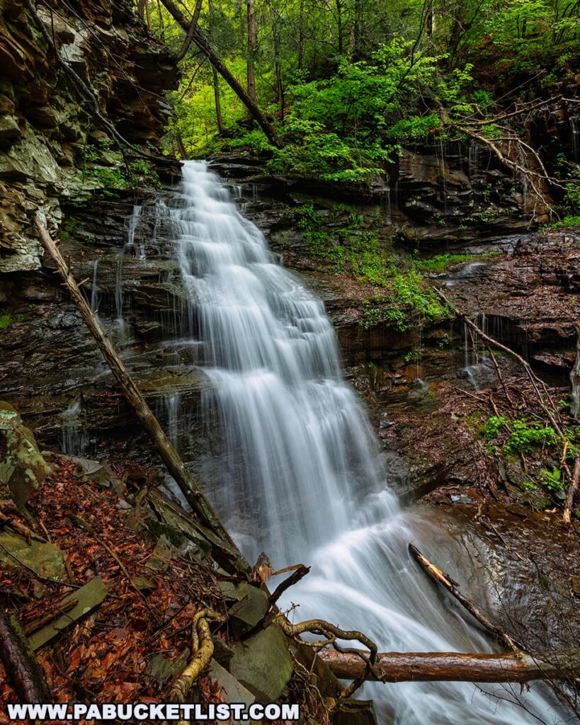
A side view of Gipson Falls near Angel Falls in Loyalsock State Forest, with water streaming down a steep, rocky ledge into a pool below, surrounded by moss-covered rocks, fallen branches, and vibrant spring foliage in Sullivan County, Pennsylvania.
Gipson Falls – May 2025.

Exploring Angel Falls

Officially, Angel Falls is listed at 70 feet tall.

A hiker in an orange jacket stands at the base of Angel Falls in Loyalsock State Forest, gazing up at the 70-foot cascade as it tumbles down a steep, rocky hillside surrounded by lush green forest and scattered fallen branches.
The author at Angel Falls in Sullivan County.

Let me tell you – when you’re standing at the base it feels taller than that!
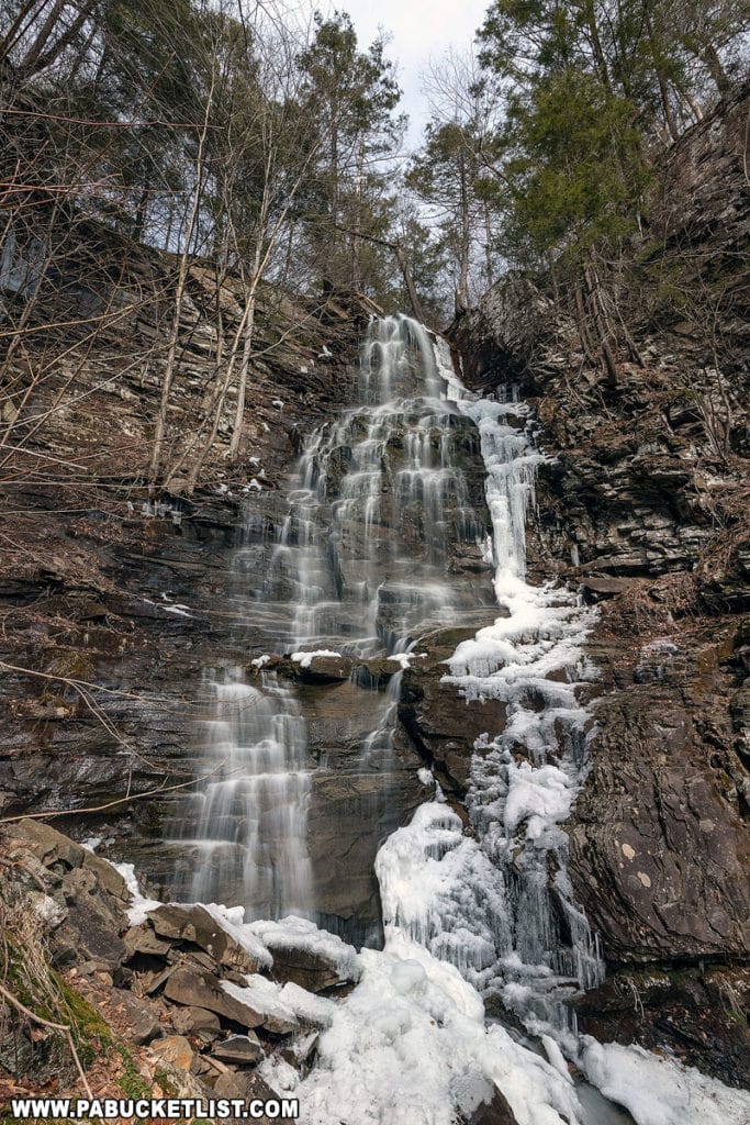
Angel Falls on Falls Run in Sullivan County, Pennsylvania.

It’s hard to catch Angel Falls raging unless you time things just right- during the spring thaw or after a hard summer rain are your best bets.
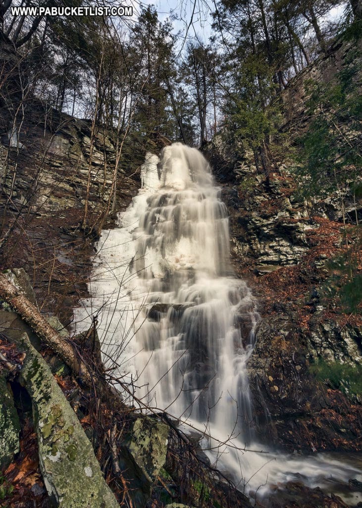
Angel Falls in the Loyalsock State Forest.

It’s difficult to fit the entirety of Angel Falls into a single photo, unless you are using a wide angle lens.
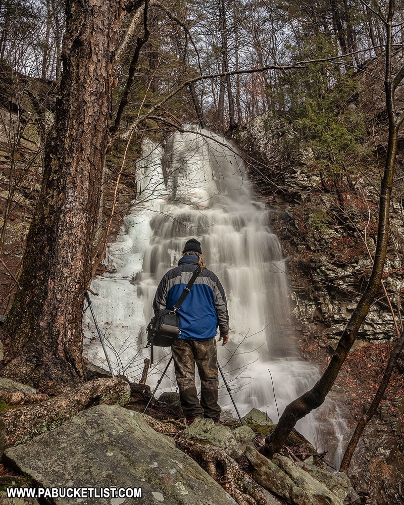
A fellow photographer at Angel Falls in the Loyalsock State Forest.

Exploring Gipson Falls

The downstream view of Gipson Falls is striking.
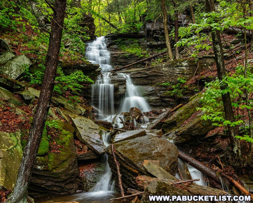
A picturesque view of Gipson Falls, downstream from Angel Falls in Loyalsock State Forest, with water cascading over multiple rock ledges through a narrow, boulder-strewn gorge surrounded by mossy stones and dense green forest in Sullivan County, Pennsylvania.
Downstream view of Gipson Falls in the Loyalsock State Forest, Sullivan County.

This is an excellent winter waterfall as you get some outstanding ice formations in the Falls Run Gorge.
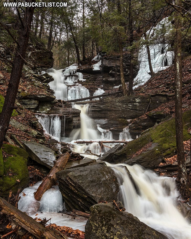
Winter at Gipson Falls in the Loyalsock State Forest.

When you finally get up close to Gipson Falls, you realize it’s every bit of 20 feet tall.
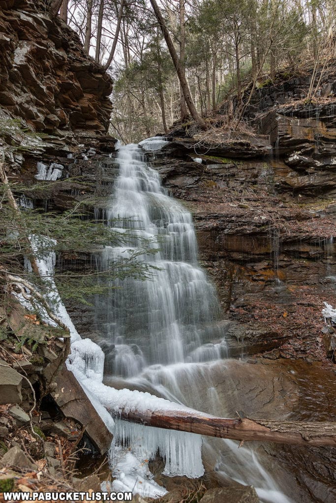
Gipson Falls in Sullivan County, PA.
Gipson Falls.

Here’s my hiking buddy Steve standing on the left side of the falls for scale.
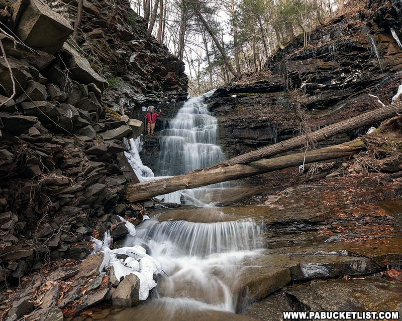
Gipson Falls in Sullivan County.

There are also some picturesque cascades just below Gipson Falls; if you have the time, they’re worth checking out.
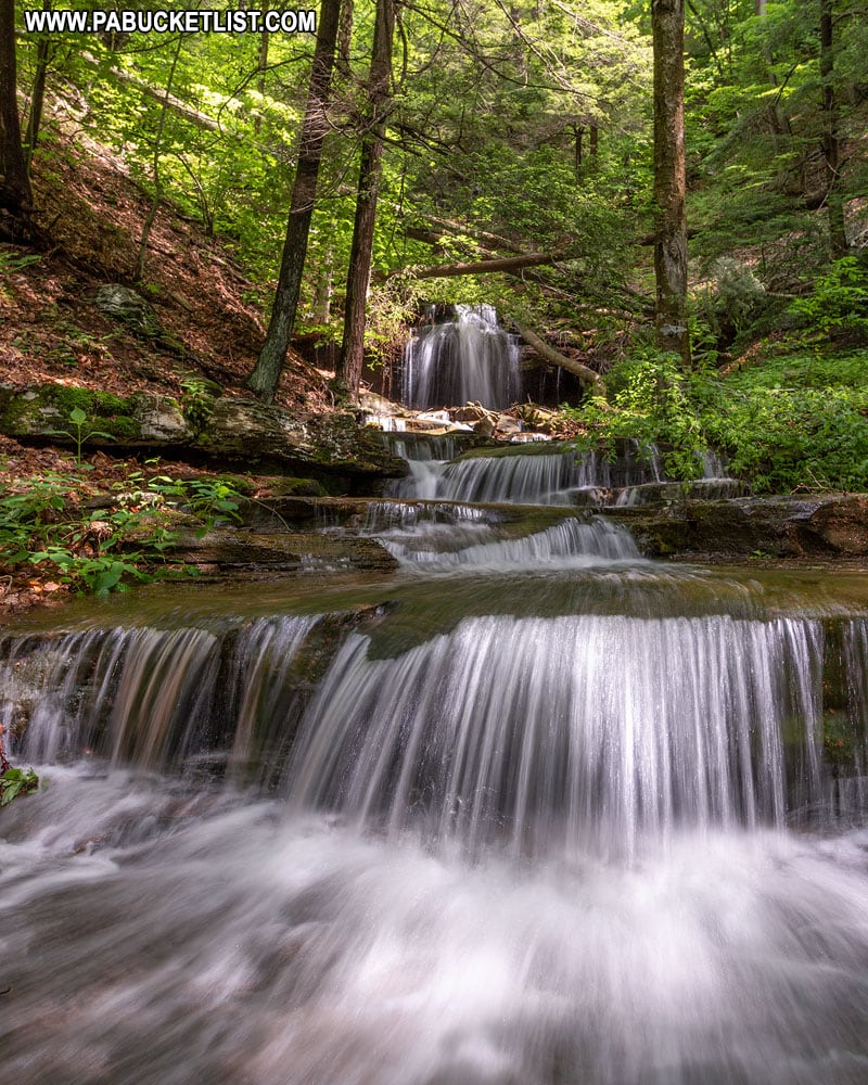
Downstream from Gipson Falls in Sullivan County, Pennsylvania.
Cascades downstream from Gipson Falls.

When you’ve had your fill of Angel Falls and Gipson Falls, simply retrace your steps along the Loyalsock Trail, back to the parking area along Brunnerdale Road.
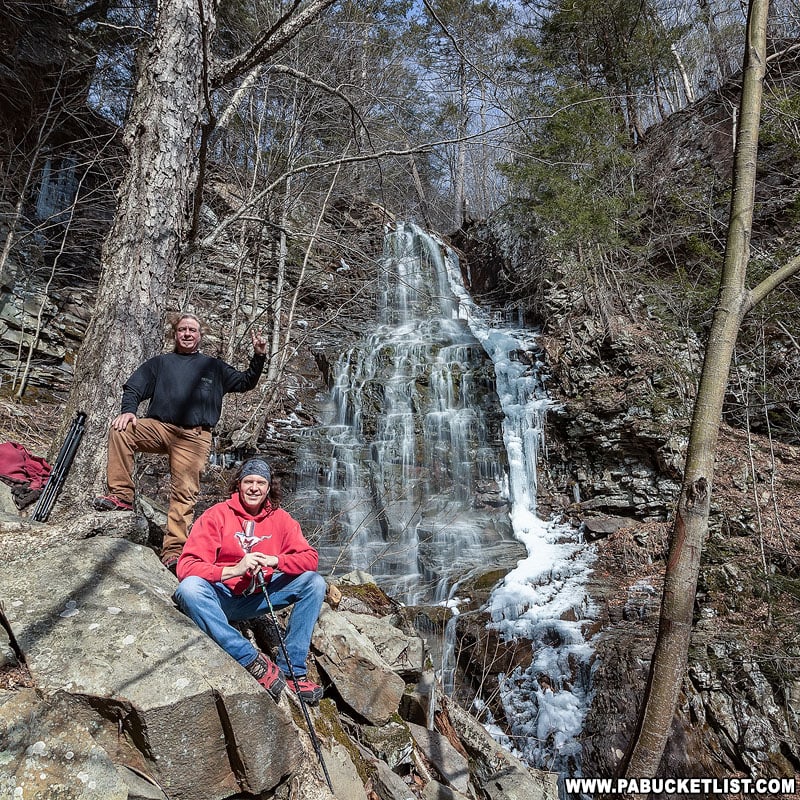
The author and a fellow hiker at Angel Falls in the Loyalsock State Forest.

Nearby Attractions

Dry Run Falls is a roadside waterfall just minutes from Angel Falls and Gipson Falls.
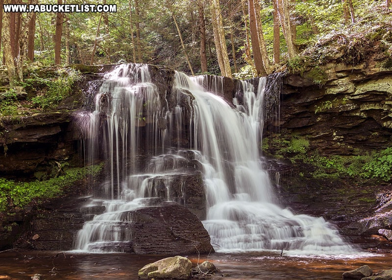
A summer view of Dry Run Falls in Sullivan County, PA.

Looking for something more off-the-beaten-path?

Consider Dutters Run Falls, which shares a parking area with Dry Run Falls
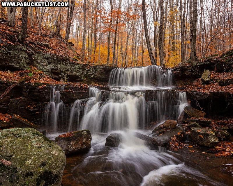
Third Falls along Dutters Run in the fall.

Looking for a full day’s worth of waterfall action?

Then check out 10 Must-See Waterfalls Near Worlds End State Park.
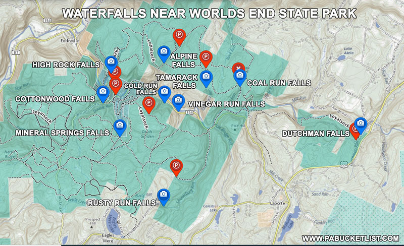
A map of 10 waterfalls near Worlds End State Park in Sullivan County Pennsylvania
10 waterfalls near Worlds End State Park in Sullivan County

In this guide you’ll find maps and detailed directions to 10 great waterfalls in and around Worlds End State Park.
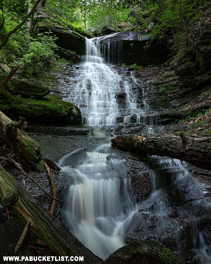
High Rock Falls at Worlds End State Park

If scenic vistas are your thing, check out nearby High Knob Overlook, easily one of the most popular roadside attractions in all of Sullivan County!
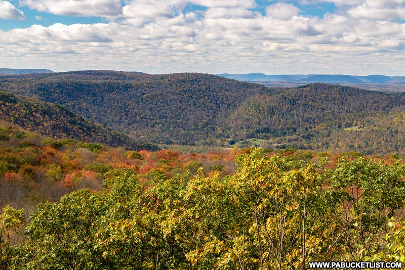
October in Sullivan County as viewed from High Knob Overlook.

Ticklish Rock is a gravity-defying sandstone pillar on a forested plateau in Sullivan County.
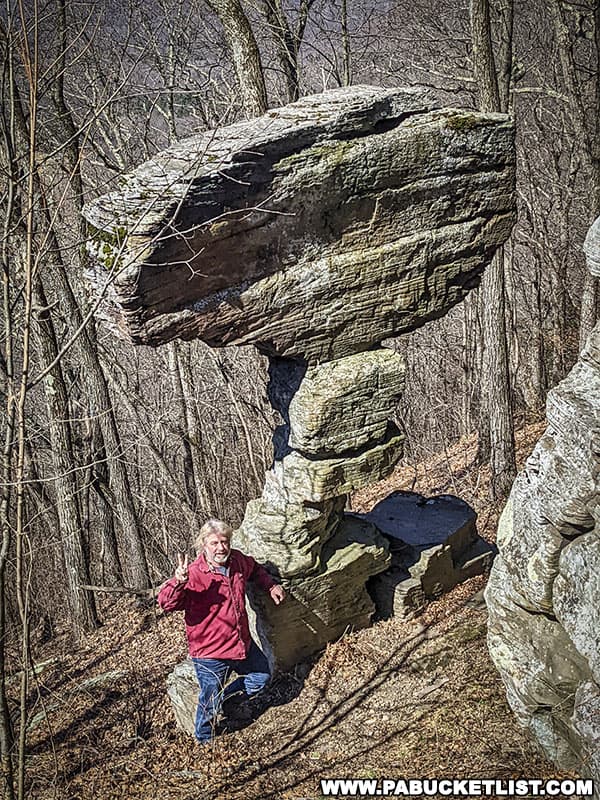
Looking down on Ticklish Rock in Sullivan County Pennsylvania.
Looking down on Ticklish Rock.

Did you enjoy this article?

If so, be sure to like and follow PA Bucket List on Facebook, Instagram, and/or Pinterest to learn more about the best things to see and do in Pennsylvania!

Click on any of the icons below to get connected to PA Bucket List on social media.


PA Bucket List 2022 Sasquatch Logo

Pennsylvania’s Best Travel Blog!

Rusty Glessner
Rusty Glessner is a professional photographer, lifelong Pennsylvanian, and a frequently-cited authority on PA's best travel destinations.