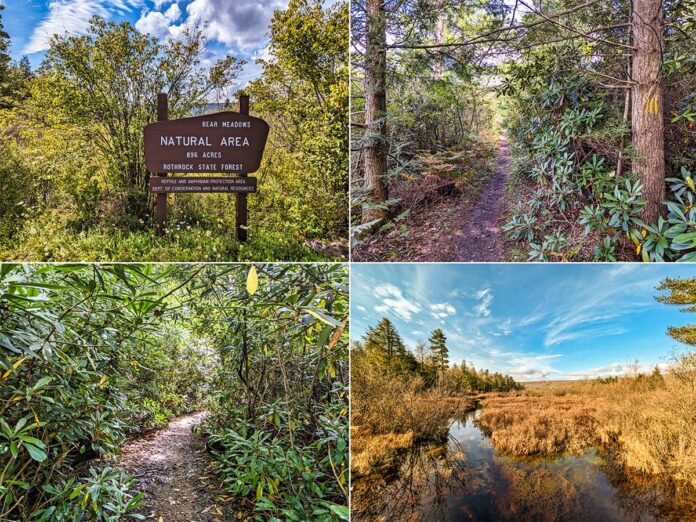
If you’re looking for information about hiking the Bear Meadows Loop in Centre County, you’re in the right place!
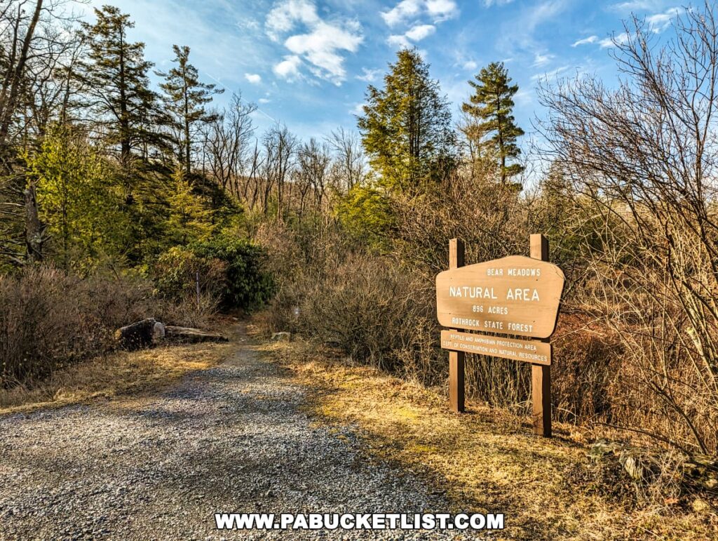
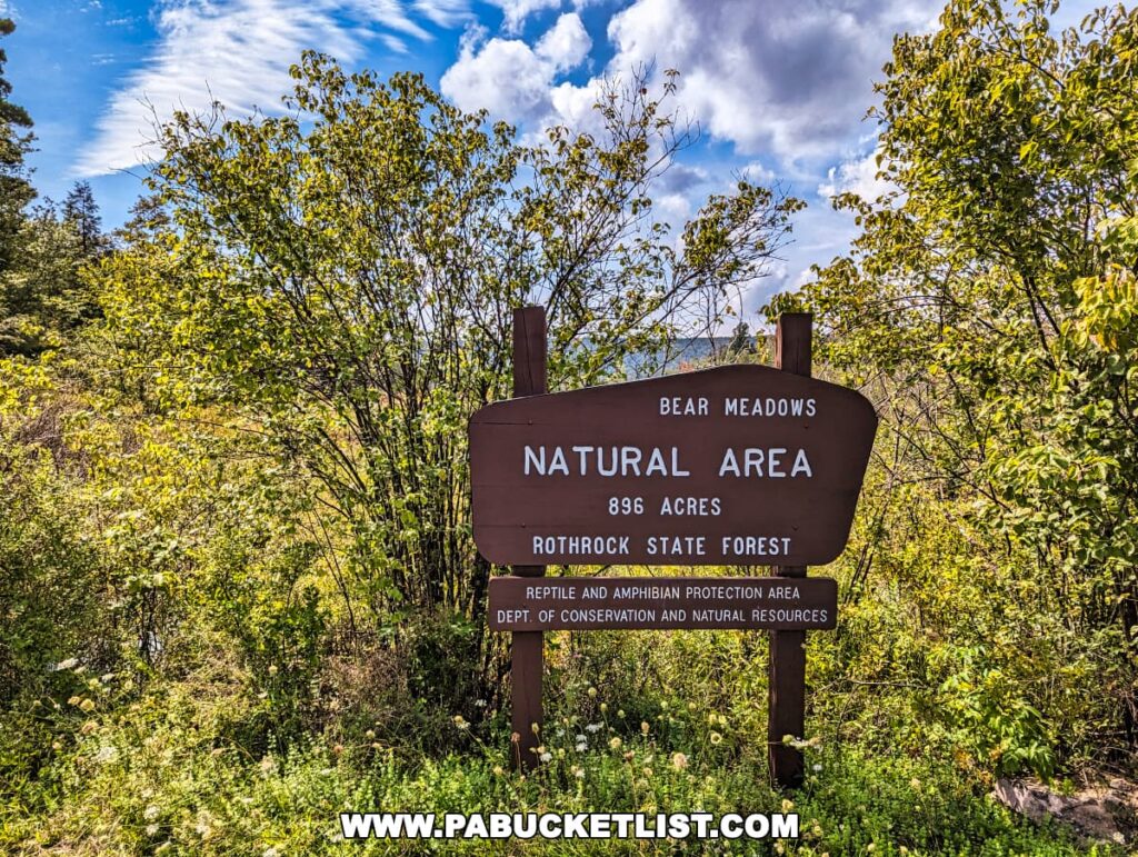
The Bear Meadows Loop is a 3.5 mile hike around the perimeter of the Bear Meadows Natural Area in the Rothrock State Forest.

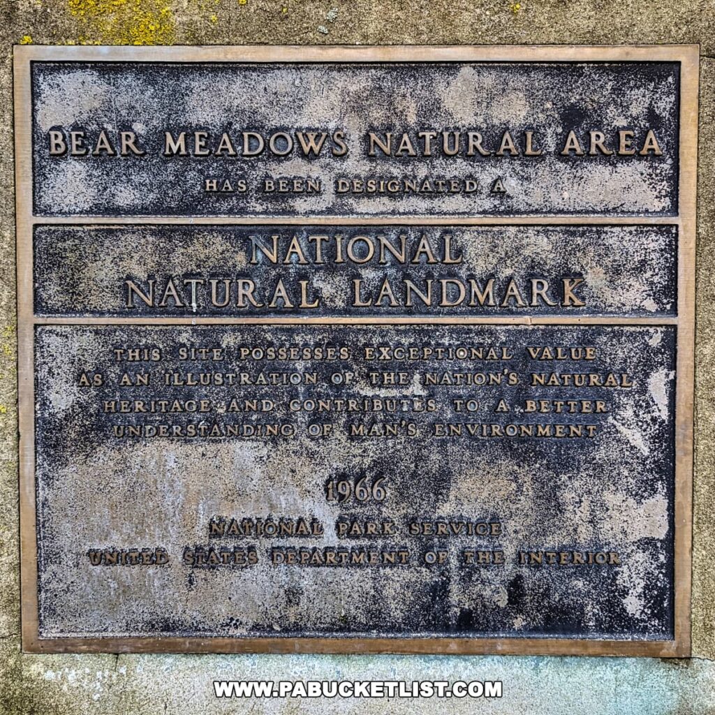
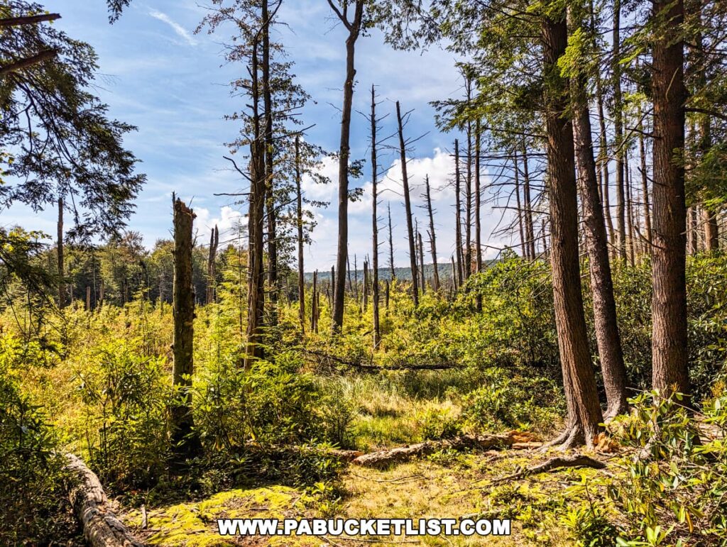
This Natural Area, which is also a National Natural Landmark, protects an entire high mountain fen wetland.
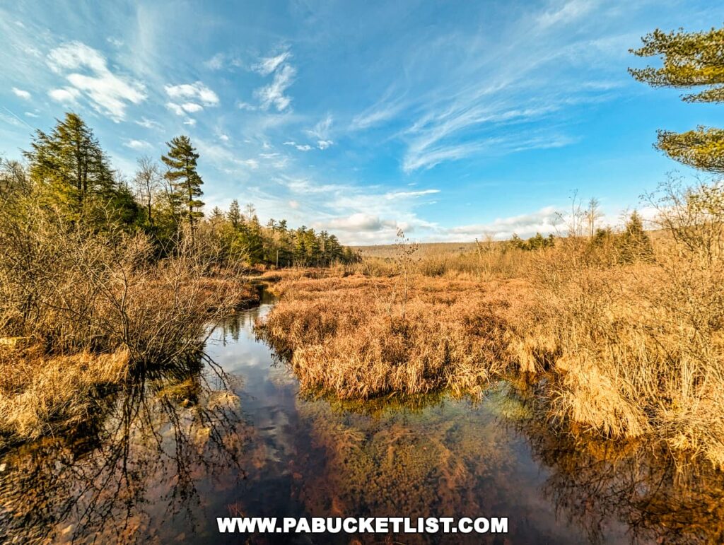
Unlike a bog (which is primarily fed by rainwater), the fen wetland at Bear Meadows receives its water primarily from groundwater sources, meaning its pH levels are neutral to alkaline (in contrast to the acidic environment of bogs) and it supports a more diverse array of plant and animal life.
Bear Meadows Trail | Details and Directions
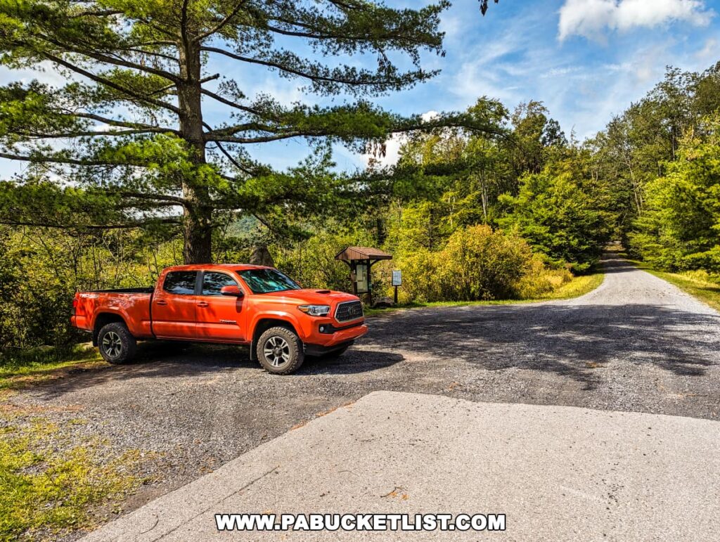
The Bear Meadows Loop trailhead is located along Bear Meadows Road in the Rothrock State Forest.
If navigating by GPS, you’ll find the parking area and trailhead at coordinates 40.73198, -77.75378.
The loop hike as described here utilizes 2.25 miles of the yellow-blazed Bear Meadows Trail, a 0.5 mile portion of North Meadows Road, and a 0.75 mile portion of the Jean Aron Path, for a total length of roughly 3.5 miles.
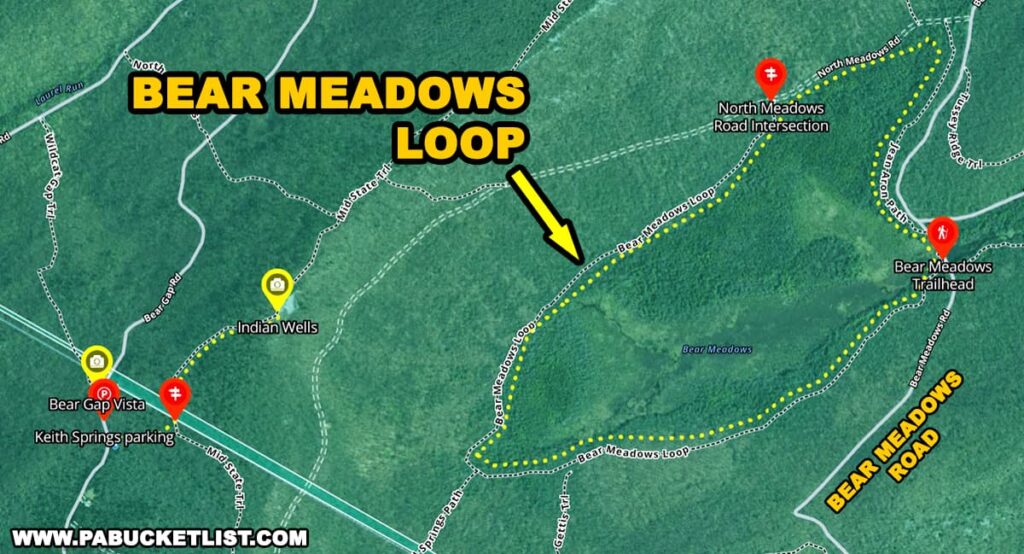
I’m going to describe the hike moving in a clockwise direction, but of course you can hike it the opposite way and enjoy it all the same.
Hiking the Bear Meadows Loop
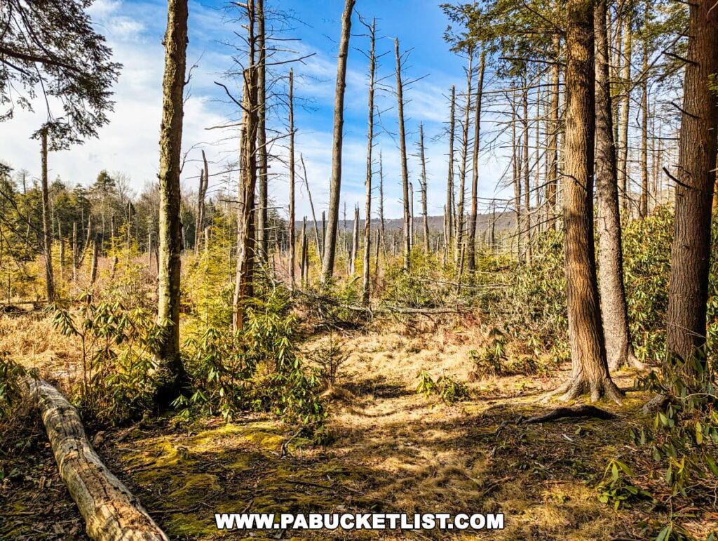
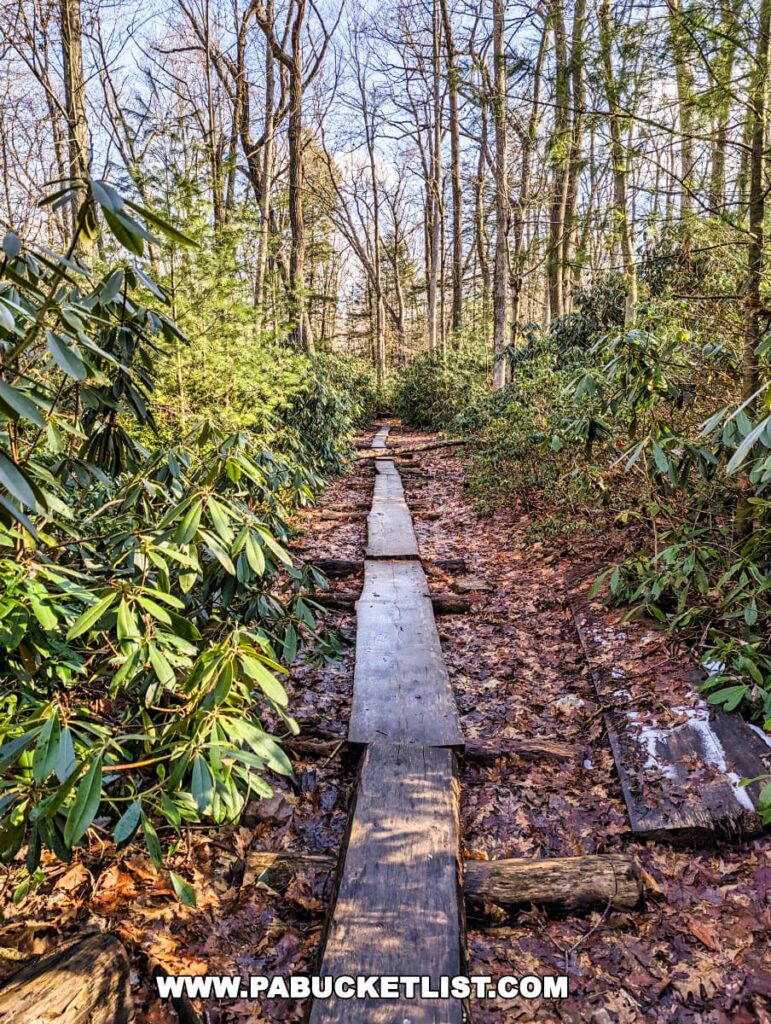
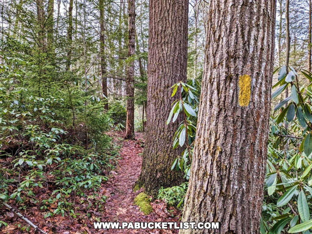
If hiking this trail in a clockwise direction, the first 2.25 miles of the hike can be quite wet – this portion of the hike literally skirts the edge of the wetland.
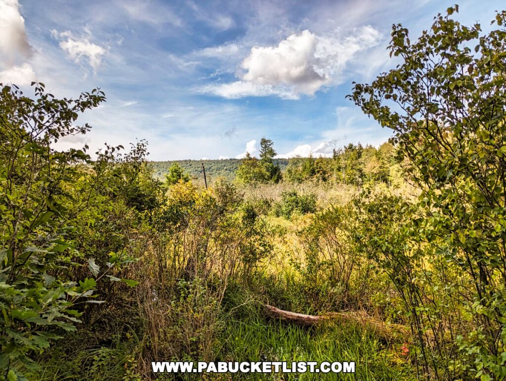
In some of the wettest sections, a raised boardwalk makes the trek a bit easier, but waterproof boots really are the footwear of choice for this hike.
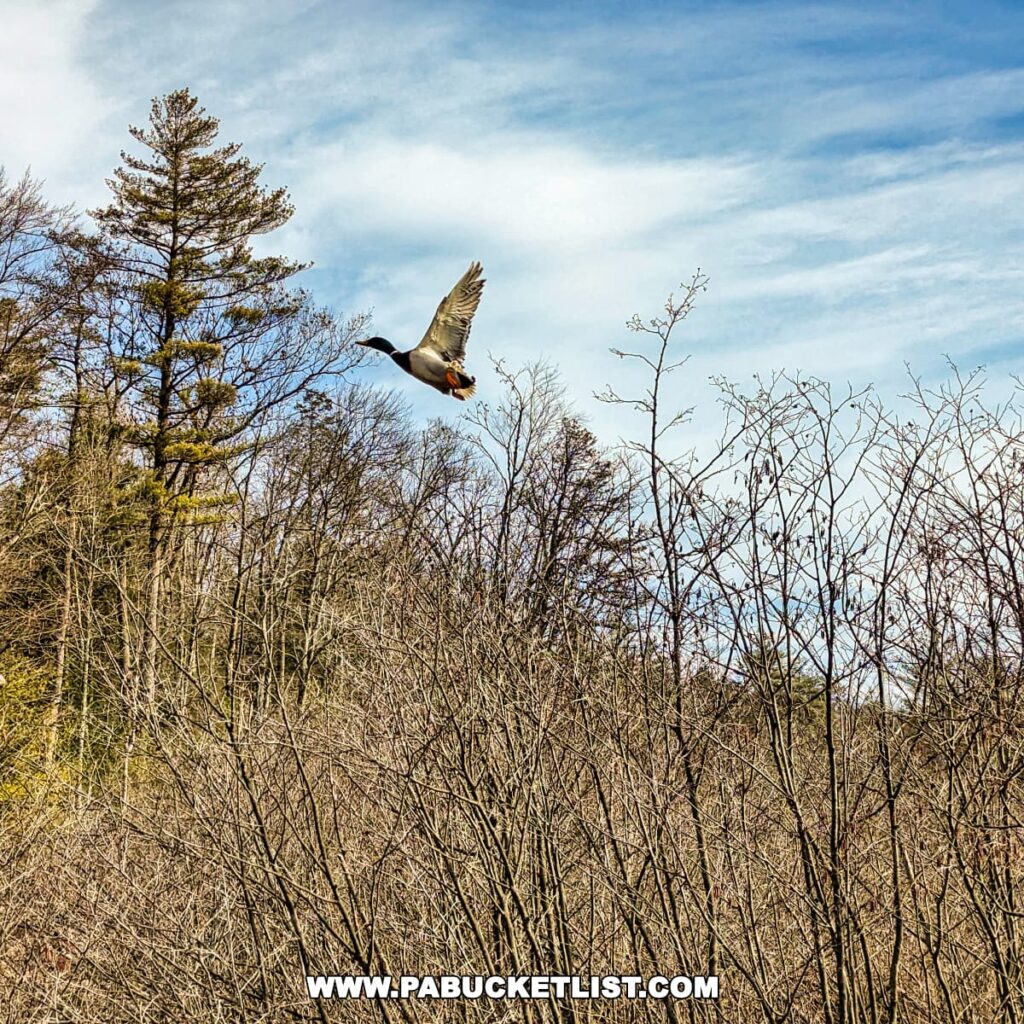
Of course the upside of hiking in a wetland environment is the chance to see all sorts of waterfowl and wildlife.
The wetland environment also means an abundance of highbush blueberries here in the warmer months, attracting the bears that give “Bear Meadows” its name.
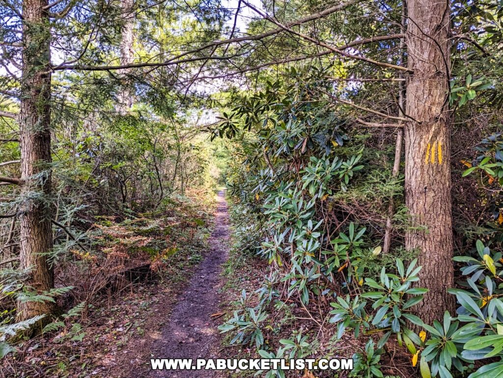
Portions of the Bear Meadow Loop pass through dense Rhododendron thickets.
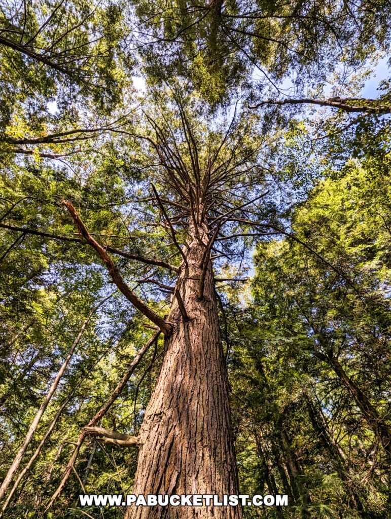
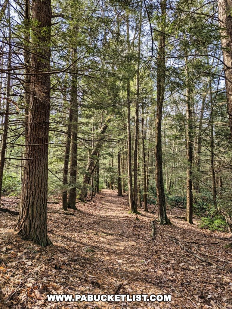
While in other places the path meanders through towering hemlocks.
At roughly 2.25 miles into the hike, the trail intersects with North Meadows Road – here you’ll continue east/clockwise around the northern edge of Bear Meadows.
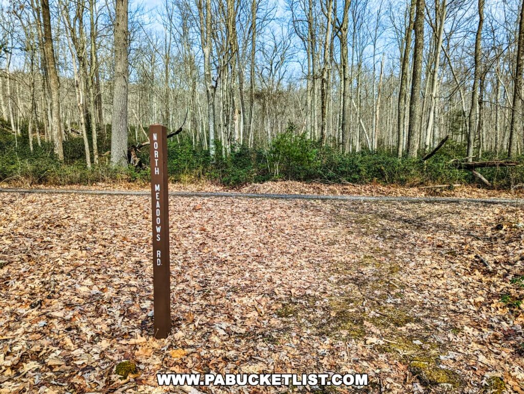
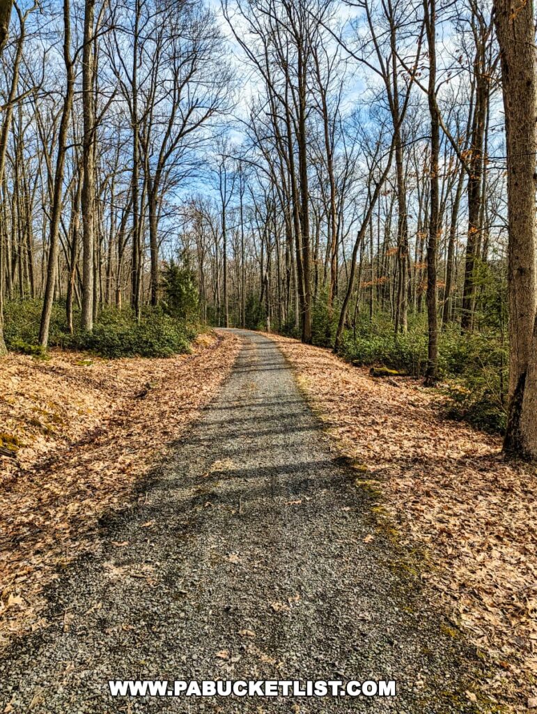
This is the driest and easiest portion of the hike, as it follows a gated gravel forest road.
After following North Meadows Road for a half-mile, you’ll bear right onto the Jean Aron Path to complete the hike.
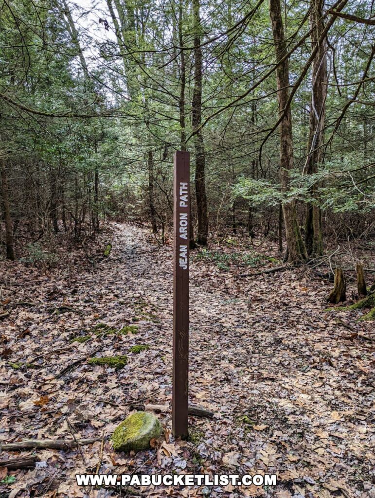
You’ll follow this trail the final 0.75 miles of the hike, back to the trailhead/parking area along Bear Meadows Road.
The entire hike normally takes me roughly 90 minutes at a leisurely pace, stopping to take a few photos along the way.
Final Thoughts
The Bear Meadows Loop winds 3.5 miles through towering forests, skirts the edge of a rare wetland, and passes through enchanting rhododendron tunnels, offering an ever-changing panorama.

The trail’s gentle inclines and declines (less that 100 feet of elevation change) make it accessible for a range of fitness levels, yet it never feels less than a true hike.
Whether you’re looking to explore a rare ecosystem, seeking a peaceful retreat in nature, or simply in need of a good, solid hike in Central Pennsylvania, the Bear Meadows Loop is the perfect destination!

Nearby Attractions
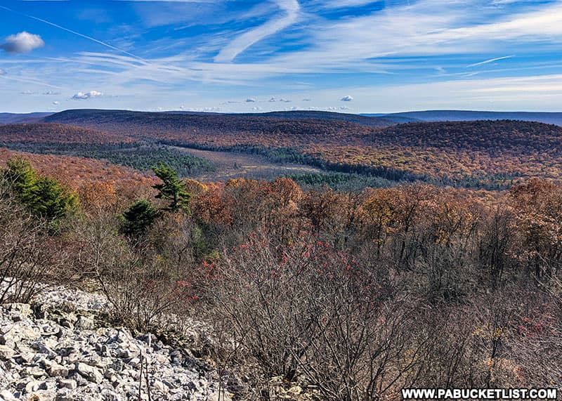
Indian Wells Overlook is an exceptional scenic vista located right along the Mid State Trail near the Centre-Huntingdon county line.

Indian Wells is perched high above Bear Meadows Natural Area, offering a great top-down view of the hike described above.
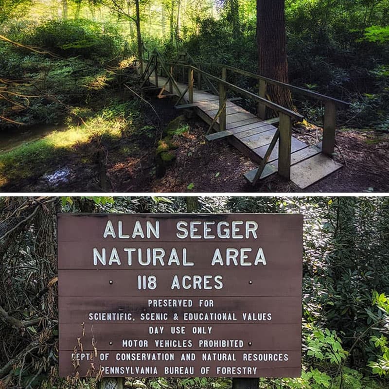
The Alan Seeger Trail is a short but beautiful loop hike through the Alan Seeger Natural Area in the Rothrock State Forest.
The 20 Best Hiking Trails Near State College is your guide to even more great hikes near the Bear Meadows Natural Area and the Rothrock State Forest.

Did you enjoy this article?
If so, be sure to like and follow PA Bucket List on Facebook, Instagram, and/or Pinterest to learn more about the best things to see and do in Pennsylvania!
Click on any of the icons below to get connected to PA Bucket List on social media.


