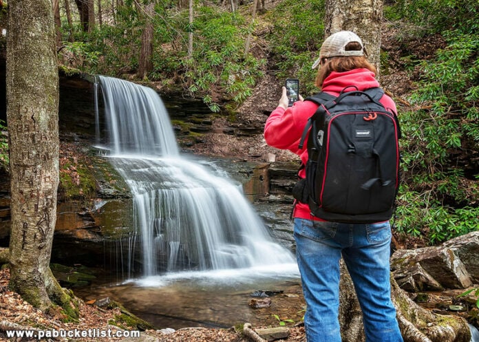
If you’re looking for directions to Round Island Run Falls in the Sproul State Forest, you’re in the right place!
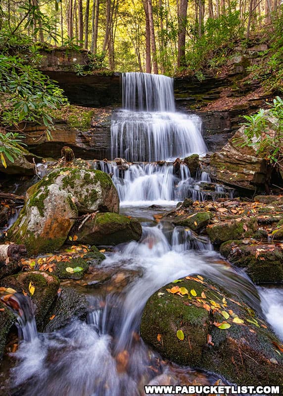
Round Island Run Falls may be THE most remote waterfall in all of Central Pennsylvania – here’s everything you need to know to find and enjoy this exceptional natural wonder!
Round Island Run Falls FAQs
Round Island Run Falls is located in a remote western corner of Clinton County in the Sproul State Forest.
Near (but not in) the Quehanna Wild Area.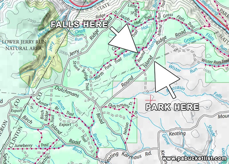
Yes – the GPS coordinates for Round Island Run Falls are 41.271800, -78.005947
Because of the three tiers that make up the falls.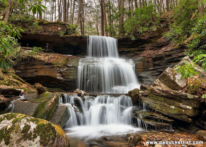
Approximately 20 feet tall when factoring in all three tiers.
Directions to the Trail Head
I’m going to give you directions from the Quehanna Highway, since I will venture to guess the vast majority of visitors will be coming in from that direction.
How to Find Round Island Run Falls in the Sproul State Forest
- From the Quehanna Highway, turn onto Pottersdale Road.
This turn is located approximately 2 miles north of Karthus, or 2 miles south of the Quehanna Boot Camp, depending on where you you are coming from.
- Travel 5.5 miles on Pottersdale Road until you come to the T-intersection pictured below. Take a left on Keating Mountain Road.
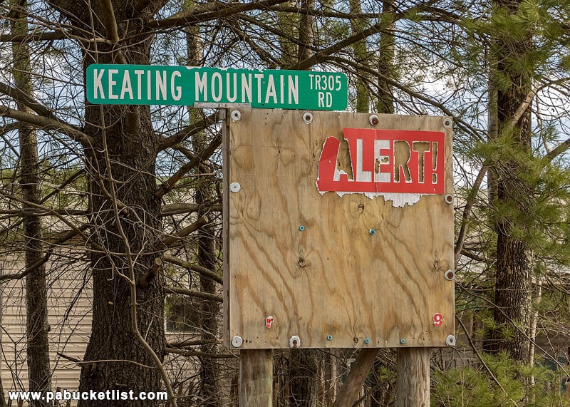
- After driving approx. 2.2 miles on Keating Mountain Road, you will come to Birch Island Road.
Don’t turn here – just giving you this as a reference.
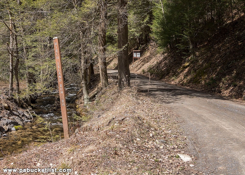
- Another 1 mile past Birch Island Run Road you will see Dutchman Road. Turn left here.
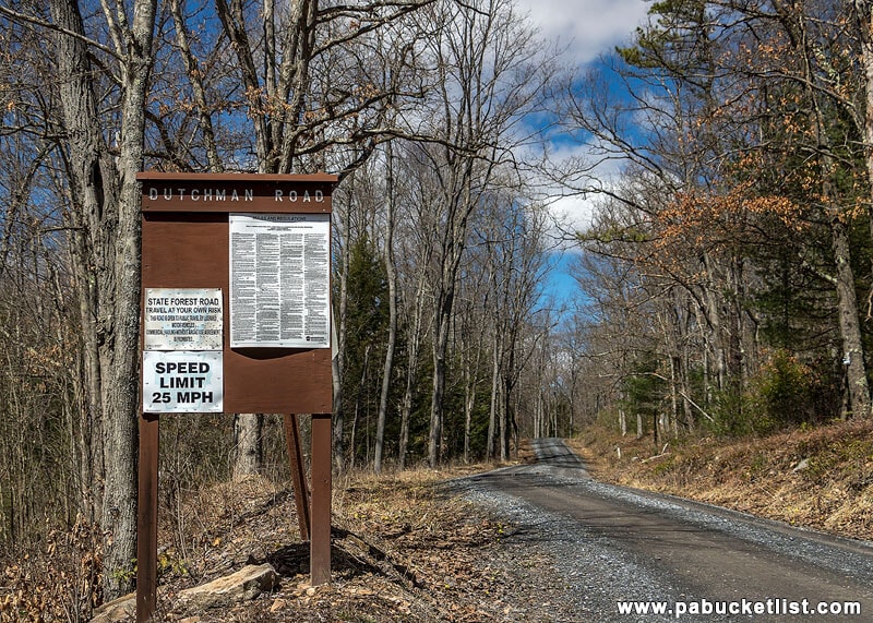
- Travel 1.7 miles on Dutchman Road until you see Round Island Road on your right. Turn right here.
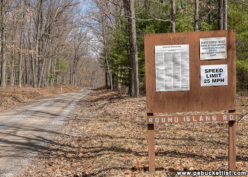
- Travel 2 miles on Round Island Road (on some maps called Round Island Ridge Road).
You will pass a pair of hunting camps on the left – the Liberty Bell Camp and the Stone Chimney Camp.
The area right around the camps is also a spot I frequently see elk, like this one I saw there a few years ago.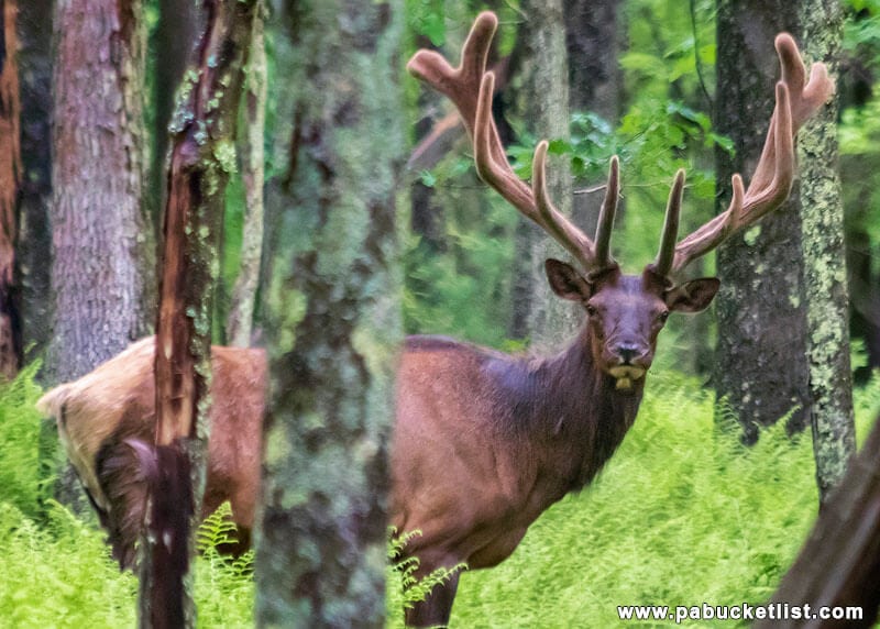
- 0.2 miles further past the camps you will come to a spot where a pair of power lines cross the road. Park in the obvious pull-off on the left side of the road, underneath the power line.
The GPS coordinates for the parking area are: 41.268613, -77.998115.
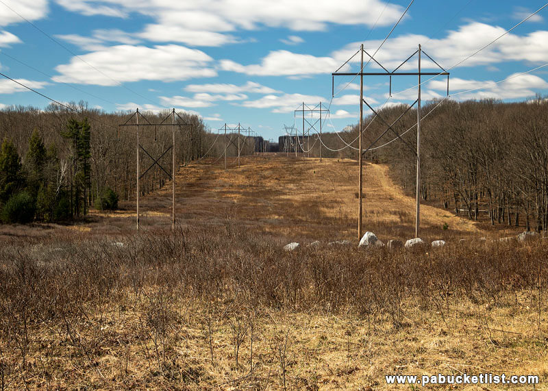
Hiking to Round Island Run Falls
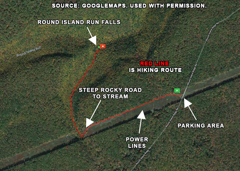
The hike to Round Island Run Falls is a pretty straightforward affair.
It is a 2.2 mile out and back hike, with roughly 300 feet in elevation change from the parking area to the base of the falls.
From the parking area, head towards the right edge of the power line cut and a yellow gate. Walk around the yellow gate and follow the obvious trail/ATV path.
At approx. 0.2 miles you’ll cross over a small stream. This IS NOT Round Island Run. Continue following the trail over and past this stream.
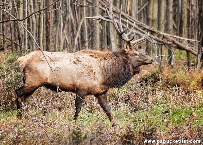
Keep your eyes peeled for elk in the woods and along the power line cut. I spotted this guy in the woods one day while hiking out to the falls.
At approximately 0.4 miles into the hike you’ll come to the top of a steep, rocky road.
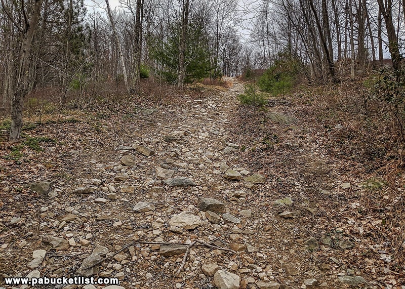
Round Island Run crosses the road at the bottom of this hill.
Turn right at the bottom of the steep rocky hill and follow the trail and stream.
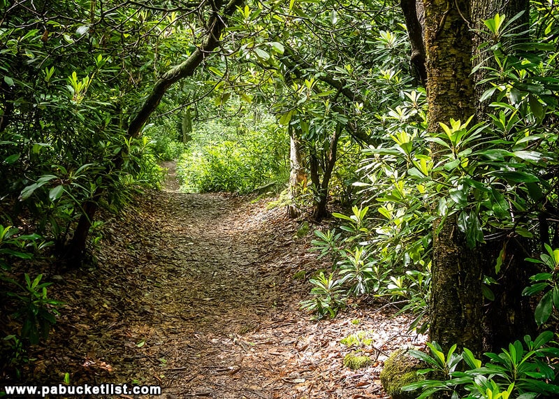
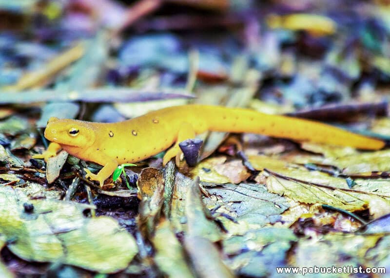
The trail itself has an almost magical quality to it. In places it is basically a tunnel through the thick laurel. Plenty of amphibians also scurry across it in the summer.
Arriving at Round Island Run Falls
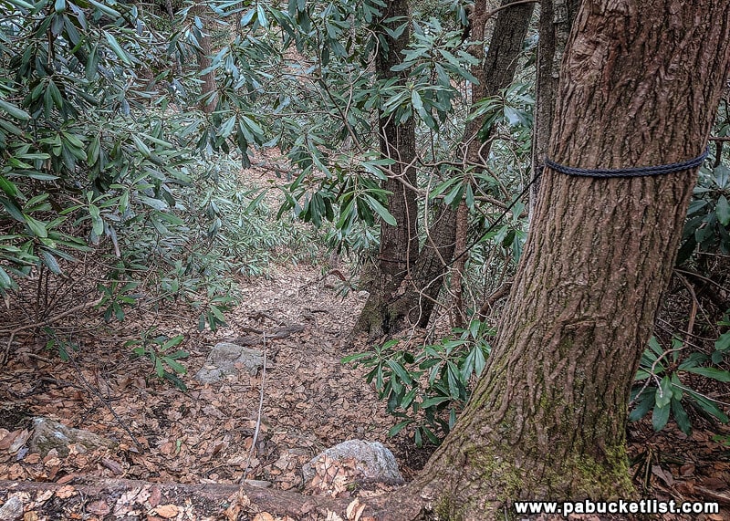
After hiking 0.5 miles along the stream, you will come to the user trail pictured above that leads down to the base of the falls. Note the fancy rope hand rail.
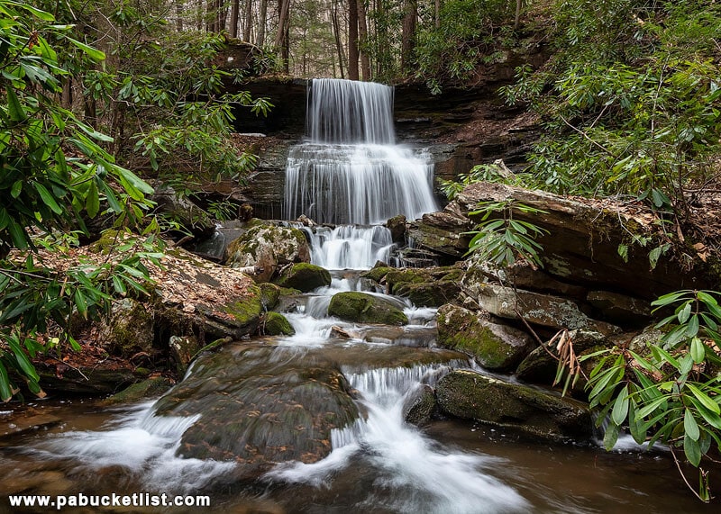
From where the trail descent brings you out, this will be your first look at Round Island Run Falls.
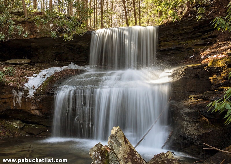
There are numerous vantage points you can photograph Round Island Run Falls from.
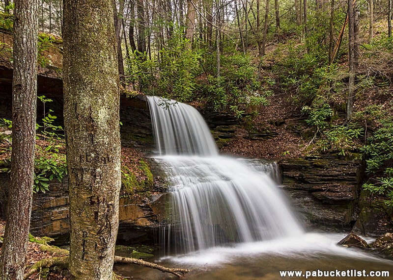
Left, right, and downstream are all worth exploring.
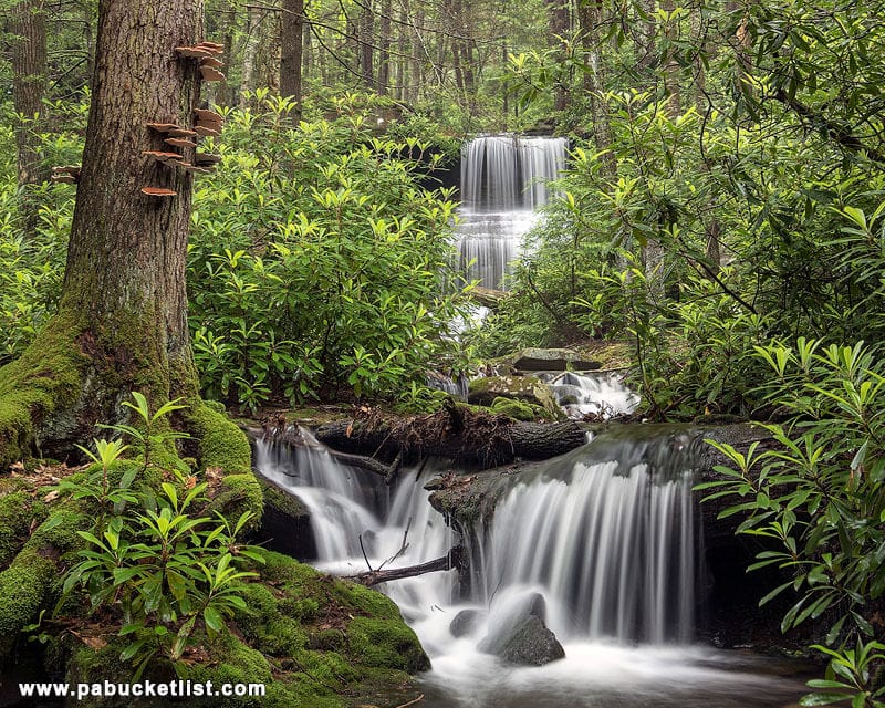
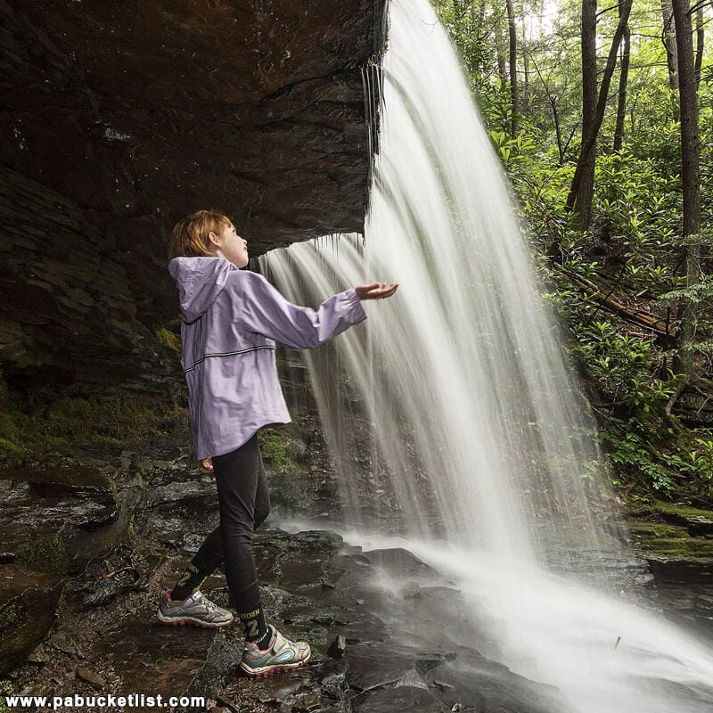
The one shot you MUST get though is from behind the upper tier. Access this angle from a trail on the left side of the falls (when facing upstream).
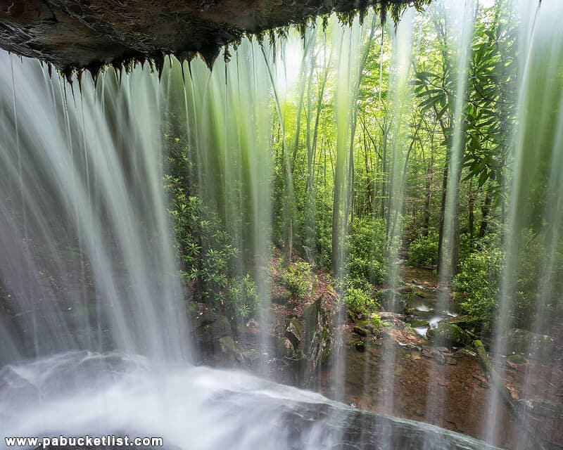
There is actually quite a bit of space behind the falls.
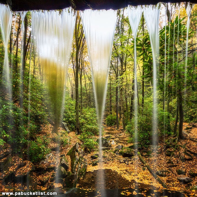
And even in the autumn months, when the water flow is sometimes barely a trickle, this is still a phenomenal scene as fall foliage covers the creek bed.
Be on the lookout for frogs in the pool at the base of the falls. This guy (or gal) was keeping a close pair of eyes on me as I shot there one afternoon.

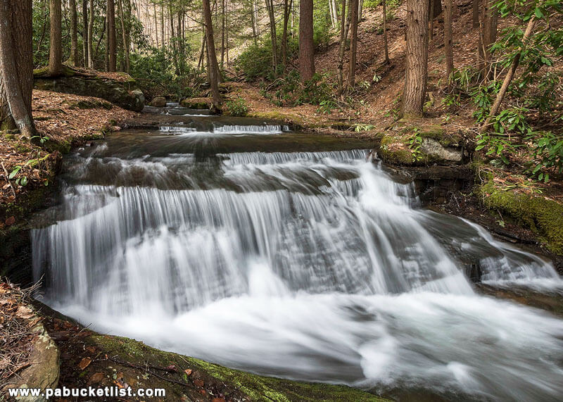
If you continue up the trail on the left side of the falls to the top, you’ll encounter this set of picturesque cascades.
The Return Hike
Once you’ve had your fill of Round Island Run Falls, it’s a simple matter of backtracking 1.1 miles to your vehicle.
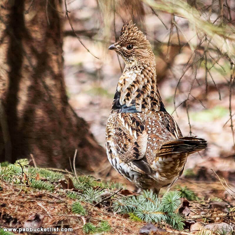
As I stated earlier, be on the lookout for wildlife. This ruffed grouse and I crossed paths in the woods along the power line cut one day.
Nearby Attractions
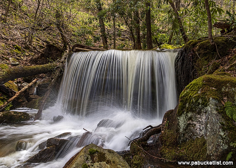
Table Falls in the adjacent Quehanna Wild Area is a beautiful, almost-roadside waterfall.
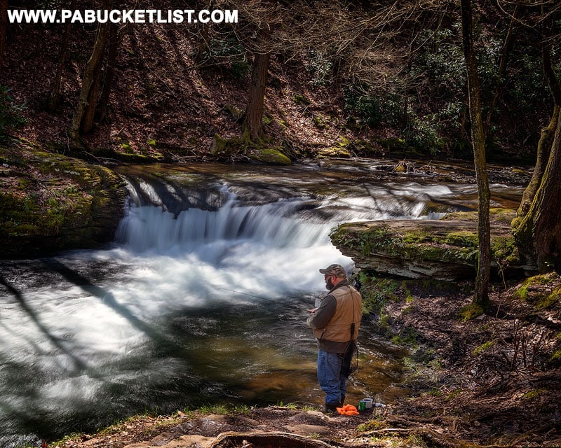
Wykoff Run Falls, also located in the Quehanna Wild Area, is literally roadside along Wykoff Run Road.
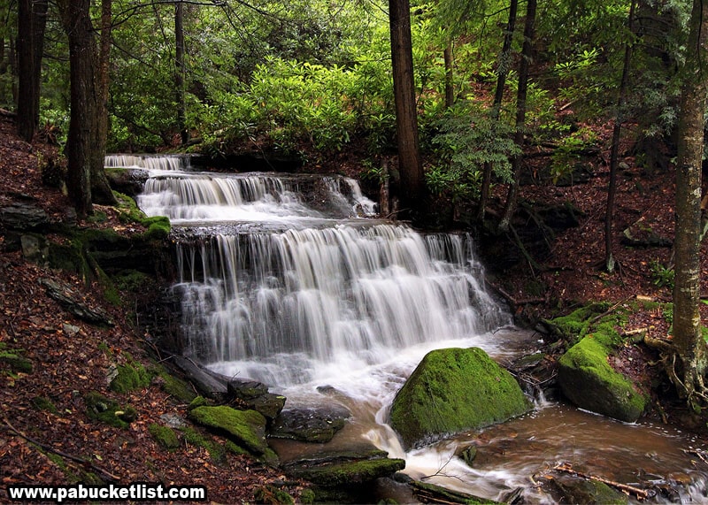
Yost Run Falls is located in the Centre County portion of the Sproul State Forest.
9 Pennsylvania Waterfalls You Can Stand Behind is your guide to even more waterfalls like Round Island Run Falls that you can stand behind.
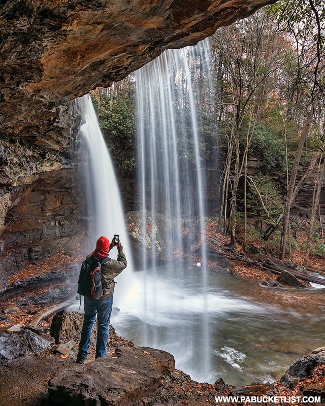
And if you’re looking for ALL the best waterfalls in Pennsylvania, look no further than The Ultimate Pennsylvania Waterfalls Guide, with directions to HUNDREDS of PA waterfalls!

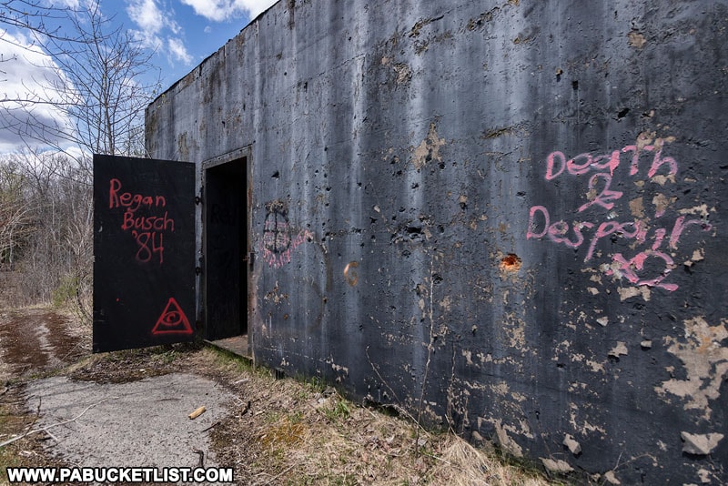
For something completely different, be sure to check out the abandoned nuclear jet engine bunkers in the Quehanna Wild Area, a glimpse into the Cold War past of Pennsylvania.
Still not convinced you need to put Round Island Run Falls on your PA bucket list?
Then check out this video!
Did you enjoy this article?
If so, be sure to like and follow PA Bucket List on Facebook, Instagram, and/or Pinterest to learn more about the best things to see and do in Pennsylvania!
Click on any of the icons below to get connected to PA Bucket List on social media.


