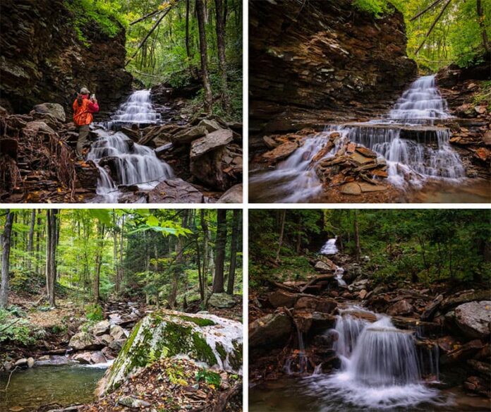
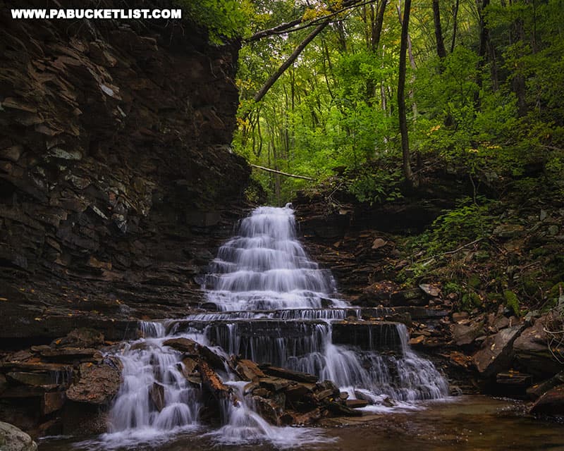
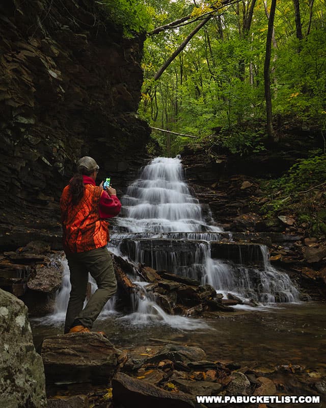
Black Run Falls is a 20 foot-tall waterfall located on a picturesque mountain stream in Tioga County.
Located on State Game Lands 268 (wear blaze orange when hiking here), the short off-trail hike to the falls reminds me a lot of hiking to the waterfalls on Miners Run in neighboring Lycoming County.
So if you’re comfortable with off-trail hiking with a mild degree of difficulty, I’m going to show you exactly how to find Black Run Falls.
And if you AREN’T comfortable with off-trail hiking, simply enjoy the photos from the comfort of home!
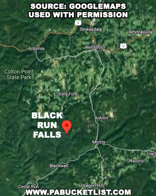
Directions to Black Run Falls in Tioga County
Black Run Falls is located south of Wellsboro, north of Blackwell, with the closest town/village being Stony Fork.
The parking area for the hike to the falls is located along Stony Fork Road.
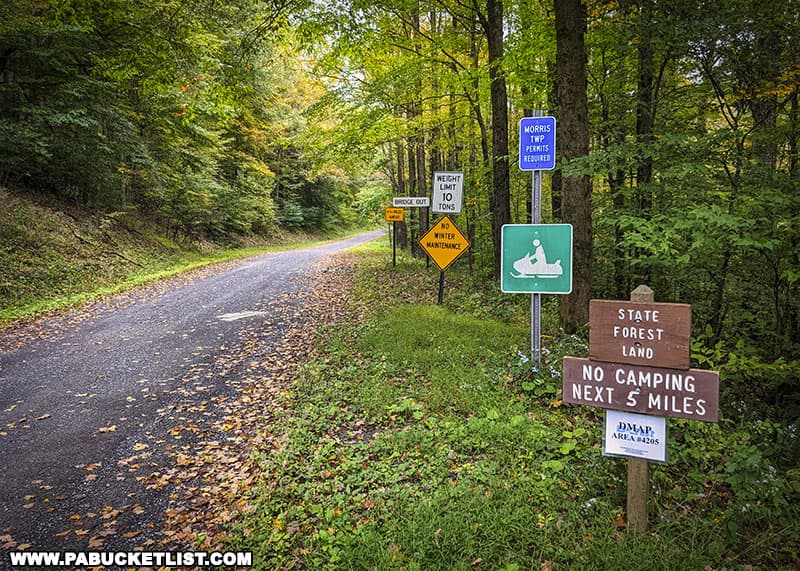
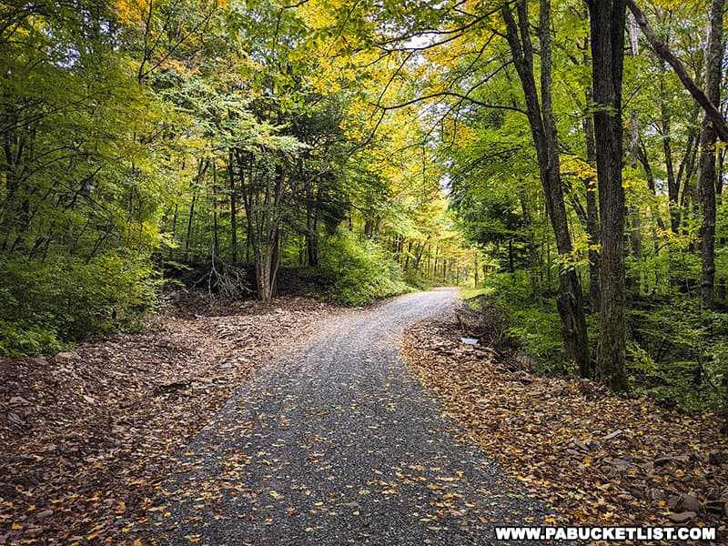
The portion of Stony Fork Road where the parking area/trailhead is located is a gravel road (and no winter maintenance), but as of September 2022 it is in very good condition and quite scenic in its own right.
The parking area is located on the right hand side of the road when driving south along Stony Fork Road, at GPS coordinates 41.60833, -77.36233.

A good landmark when looking for the parking area is the Stony Creek Lodge, a camp located just a hundred yards north of the parking area and on the same side of the road.
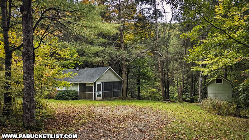
The Hike to Black Run Falls
As I mentioned earlier, the hike to Black Run Falls is off-trail, but less than a quarter-mile from the road to the base of the falls.
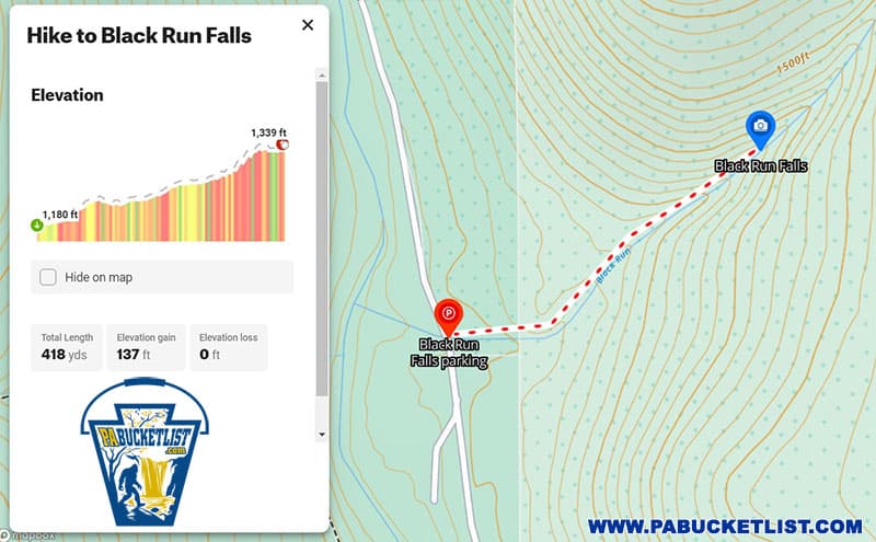
A good strategy is to hike up the stream itself on the way to the falls, photographing the scenery along the way up, then hike down the north side of stream bank (your right when facing downstream) on the way back to your vehicle, so that you aren’t hiking downhill on wet, slippery rocks.
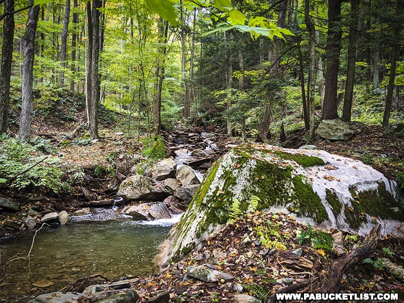
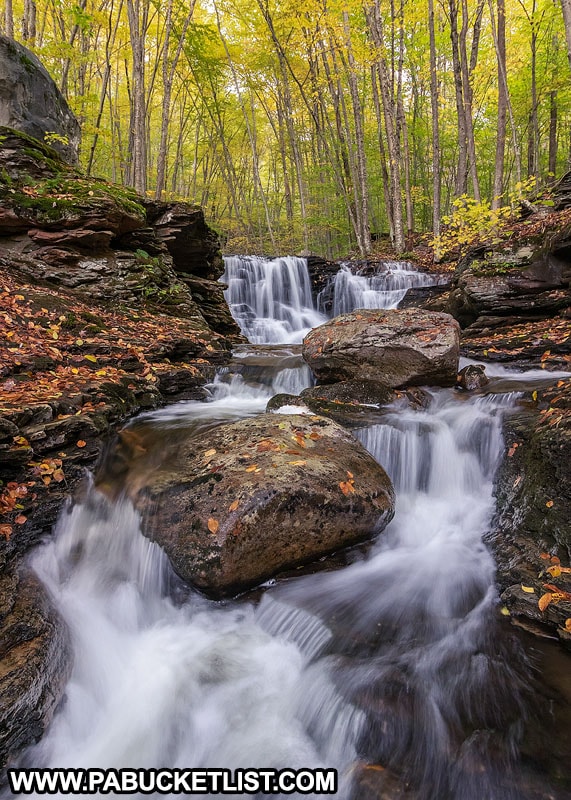
Along the way up you’ll encounter numerous cascades and rock formations.
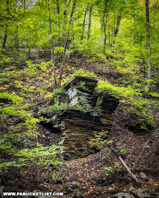
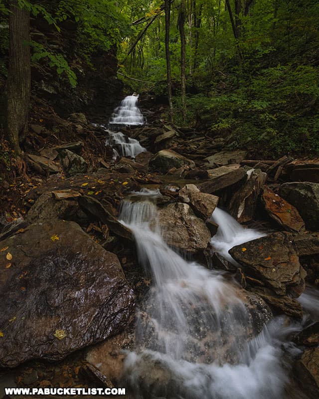
I started photographing cascades when Black Run Falls came into view in the distance.
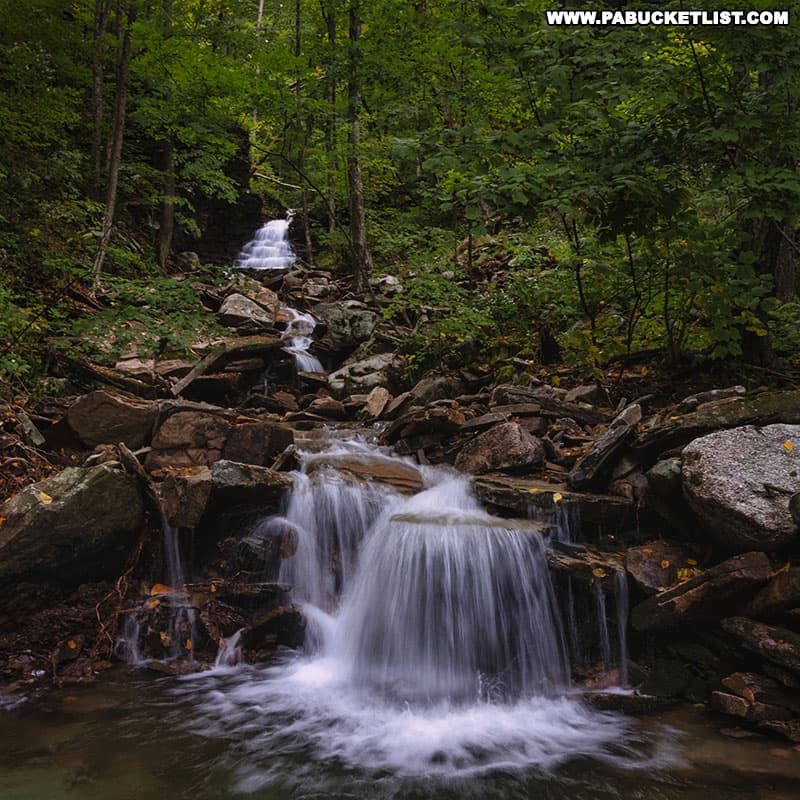
Carefully pick your way upstream, crossing back and forth as necessary for conditions that day.
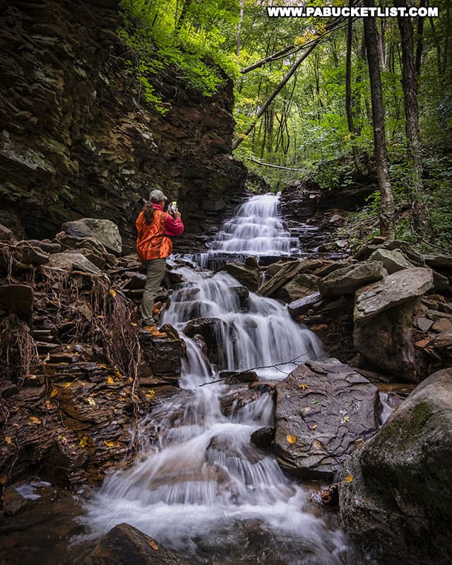
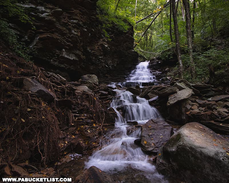
The main body of Black Run Falls (GPS coordinates 41.61009, -77.35841) is approximately 20 feet tall, and probably just as wide if it were running full-bore.
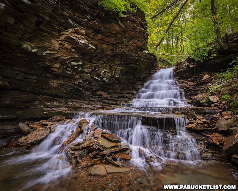
I hiked up past the falls for a few hundred yards, but saw nothing as picturesque as I did downstream, so I turned back and hiked down the north side of the stream bank to the parking area, completing this out-and-back trip of just over a half-mile.
Related Attractions
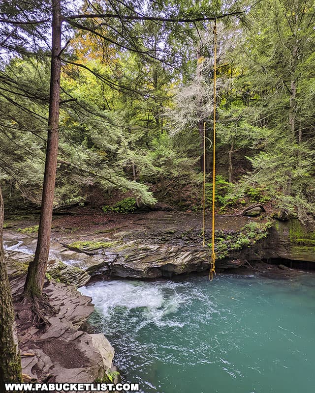
The Big Falls swimming hole is located just a few minutes down the road from Black Run Falls; this is one of the most famous swimming holes in Pennsylvania due to the turquoise-colored waters there.
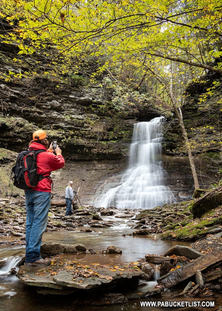
37 Must-See Waterfalls in Tioga County PA is your guide to exploring more nearby waterfalls in the PA Grand Canyon region.
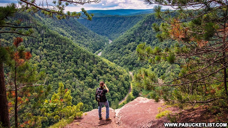
The Best Trails, Vistas, and Waterfalls in the PA Grand Canyon is a guide to some of the best natural attractions in the region.
Where to Find the Best Fall Foliage Views in the PA Grand Canyon is a great resource if visiting the region in October.
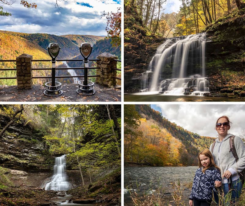
The 10 Best Roadside Attractions Near Wellsboro show you some excellent, easy-to-reach destinations around this popular tourist town in Tioga County.
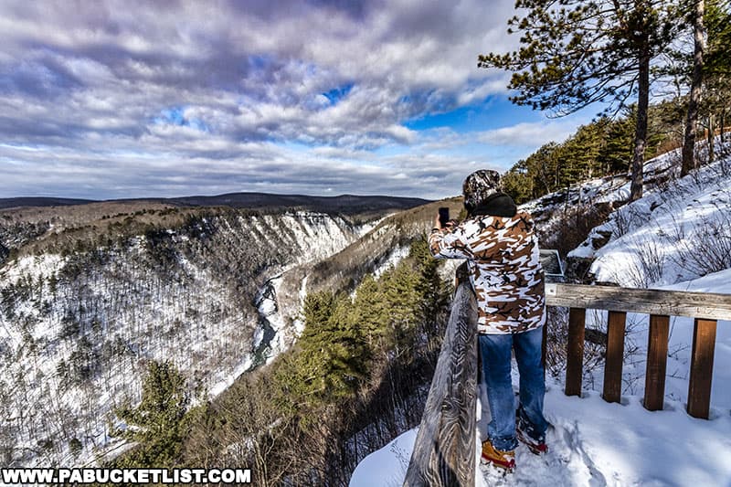
Experience a PA Grand Canyon Winter Road Trip shows you things you can see and do when the snow starts flying in the PA Grand Canyon.
Did you enjoy this article?
If so, be sure to like and follow PA Bucket List on Facebook, Instagram, and/or Pinterest to learn more about the best things to see and do in Pennsylvania!
Click on any of the icons below to get connected to PA Bucket List on social media.


