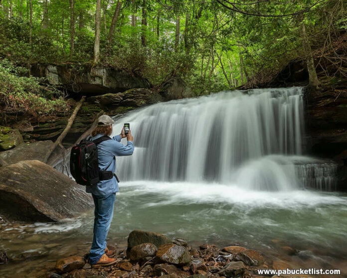
If you’re looking for directions to Jonathan Run Falls at Ohiopyle State Park, you’re in the right place!
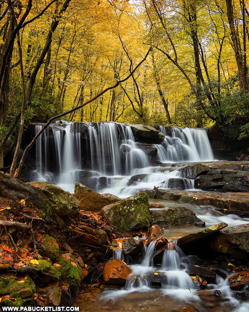
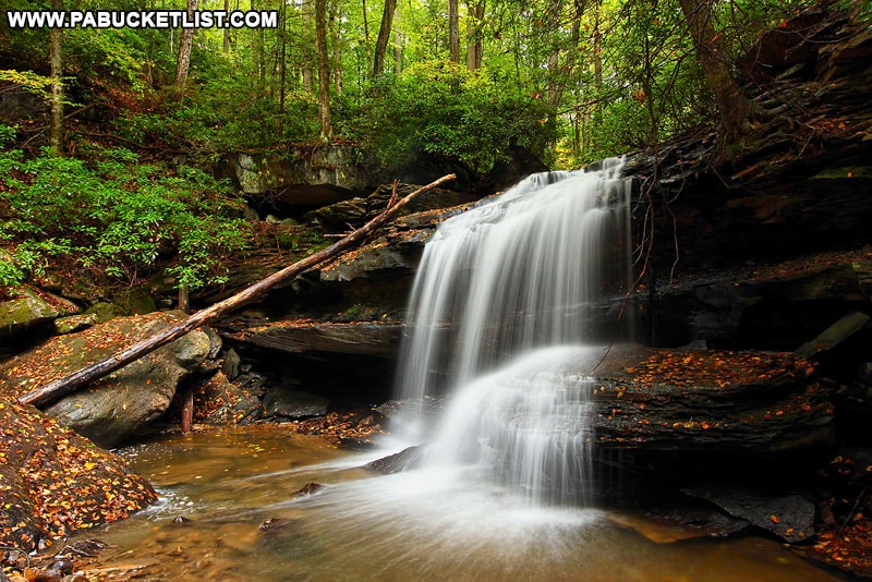
Jonathan Run Falls are a pair of outstanding waterfalls spaced 1/3 of a mile apart along Jonathan Run at Ohiopyle State Park.
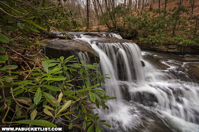
When you couple the hike to those two waterfalls with short side-excursions to nearby Sugar Run Falls and Fechter Run Falls, you have what I consider to be THE best waterfall hike in western Pennsylvania!
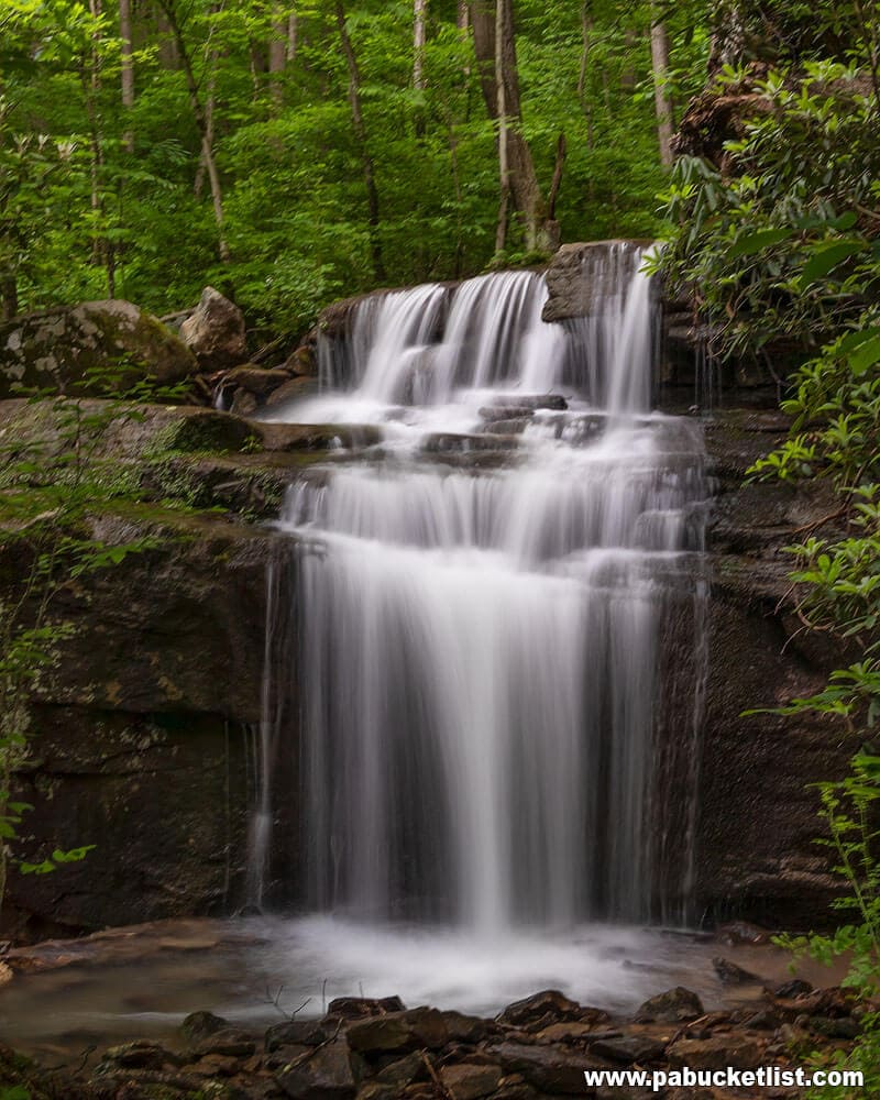
Follow along as I give you step-by-step directions on how to find these four beautiful waterfalls in the wilds of Fayette County.
Getting There
How to Find Jonathan Run Falls at Ohiopyle State Park
- From the intersection of Kentuck Road and Holland Hill Road, turn onto Holland Hill Road and travel 1.8 miles.
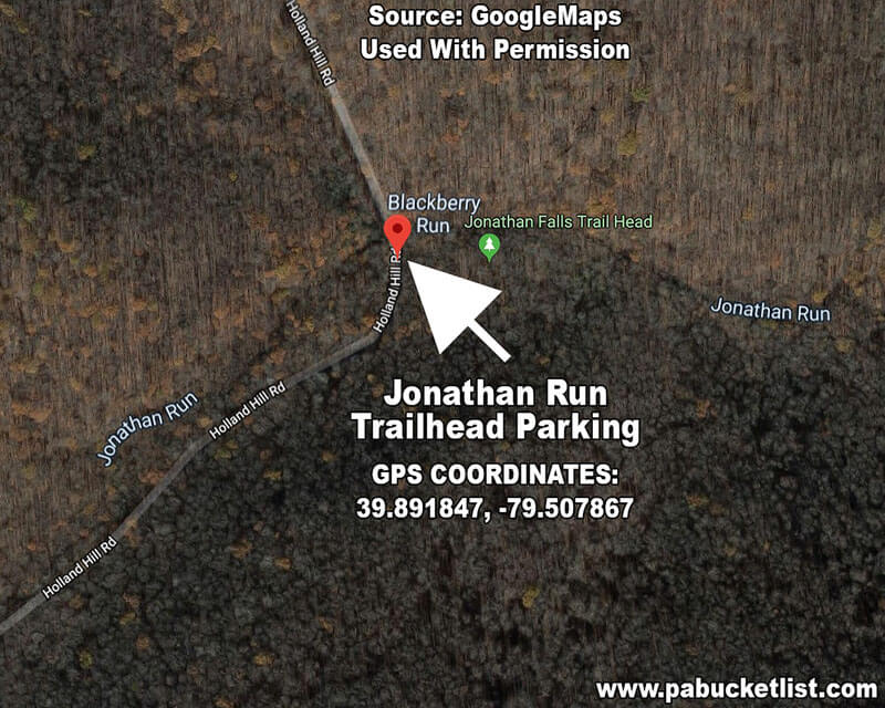
- Navigate to the Jonathan Run Falls parking area at GPS Coordinates 39.891847, -79.507867
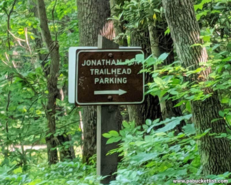
Look for the Jonathan Run Trailhead sign on the right side of the road.
- Arrive at the Jonathan Run Falls parking area.
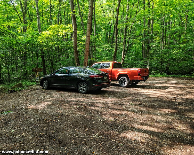
- Make your way to the trailhead at the back left corner of the parking lot, where this hike begins.
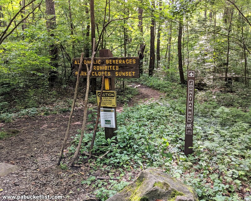
Hiking the Jonathan Run Trail
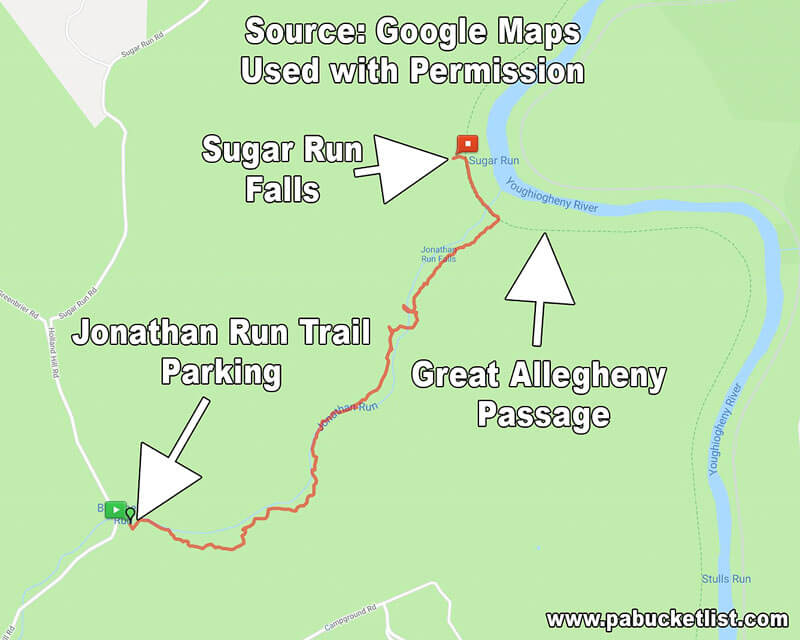
This hike takes place primarily on the Jonathan Run Trail (1.83 miles), with short side trips on the Sugar Run Trail (.2 miles) and the Great Allegheny Passage/Mitchell Field Trail (.3 miles).
That makes for a 2.33 mile one-way / 4.66 mile loop hike.
Change in elevation from the parking area to the Great Allegheny Passage is a relatively mild 278 feet (downhill on the way out, uphill on return hike).
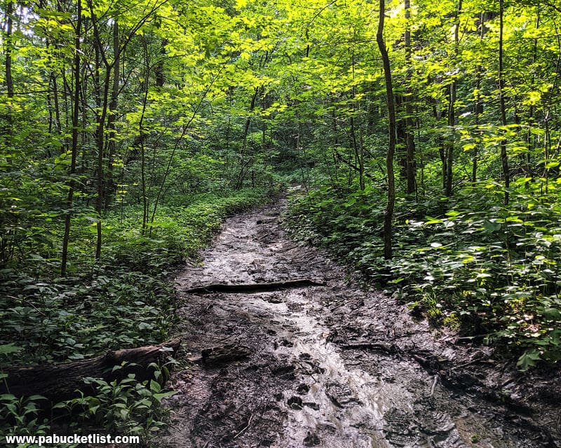
A word on proper footwear here. The Jonathan Run Trail sits very close to Jonathan Run and often is muddy and slippery. At times there will be water flowing on the trail itself.
I urge you to wear hiking boots, NOT flip-flops or sneakers, on this trail. It would be very easy to twist/break an ankle in this slop without proper foot/ankle support.
Consider yourself warned!
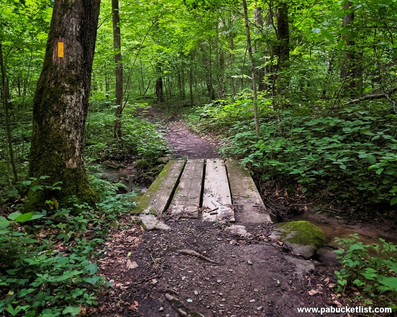
At .19 miles into the hike you’ll come to the first of 3 bridges on the Jonathan Run Trail.
Continue down the trail.
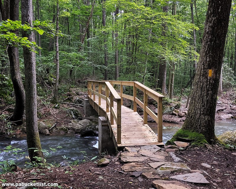
At .97 miles into the hike you’ll come to the second (and most recently rebuilt) bridge on the trail. Keep going!
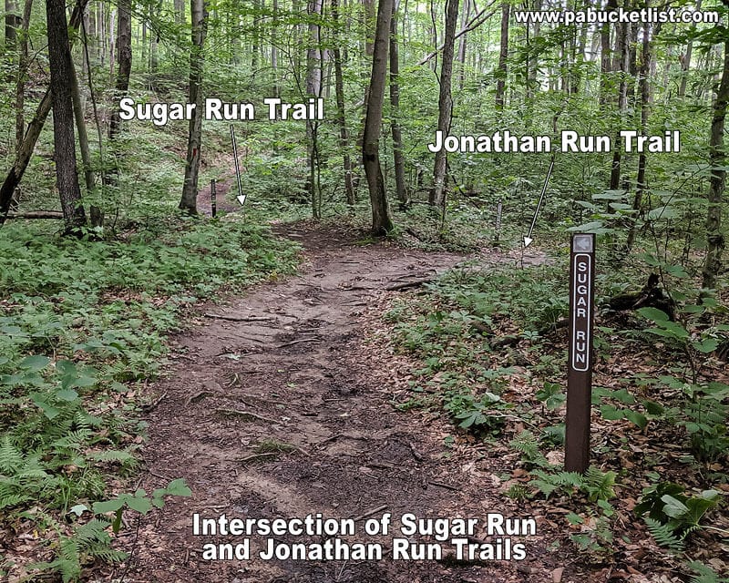
At 1.27 miles into the hike you’ll come to the intersection of Jonathan Run Trail and Sugar Run Trail.
For now, you’ll bear right and continue down the Jonathan Run Trail. But we’ll revisit Sugar Run Trail on the return hike.
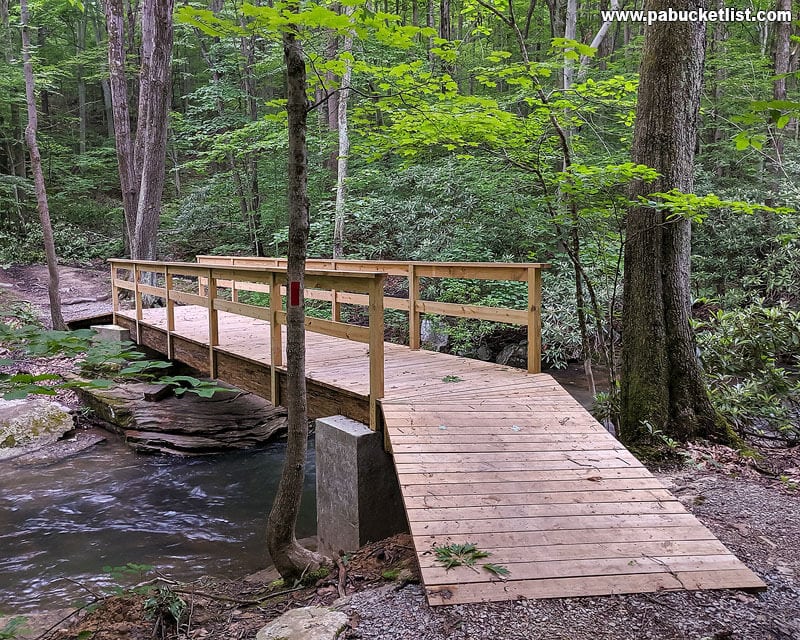
At 1.32 miles you’ll come to the third bridge on the Jonathan Run Trail. Continue across the bridge.
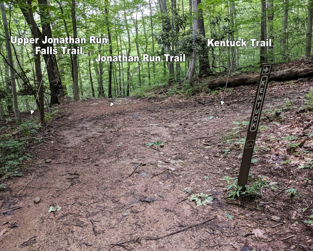
At 1.39 miles into the hike you’ll come to the intersection of Jonathan Run Trail, Kentuck Trail (to the right) and the user-created Upper Jonathan Run Falls Trail to the left.
Take the trail to the left (see image above).
At 1.44 miles you’ll arrive at Upper Jonathan Run Falls.
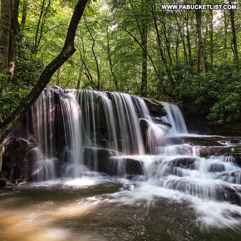
GPS Coordinates for Upper Jonathan Run Falls
39.902398, -79.491795
Photographing Upper Jonathan Run Falls
Whether you shoot it from up close or downstream, it’s hard to take a bad photo of Upper Jonathan Run Falls!
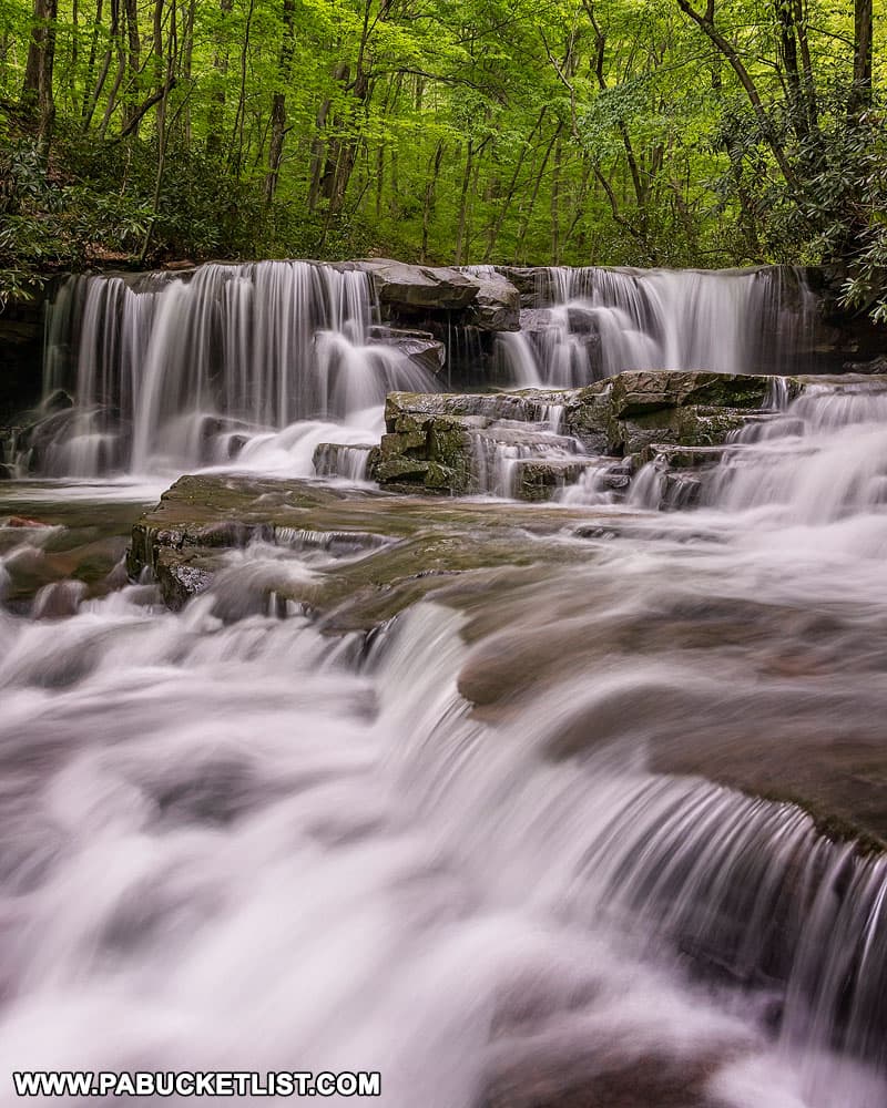
No matter the season, this waterfall never disappoints.
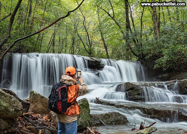
Even in the winter, Upper Jonathan Run Falls is a magical place.
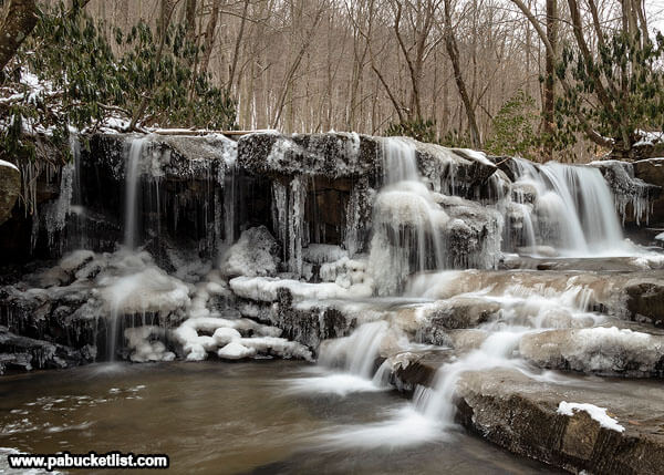
Lower Jonathan Run Falls
Backtracking up the small hill to the main Jonathan Run Trail, continue down the trail.
At 1.72 miles into the hike you’ll come to the user-created Lower Jonathan Run Trail, obvious for its rope “handrail”.
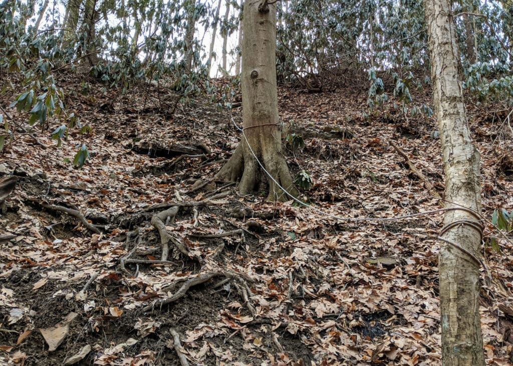
This is the most difficult to reach of the 4 waterfalls on this hike.
If you have the least bit of doubt in your ability to descend safely, DON’T!
GPS Coordinates for Lower Jonathan Run Falls
39.903107, -79.490325
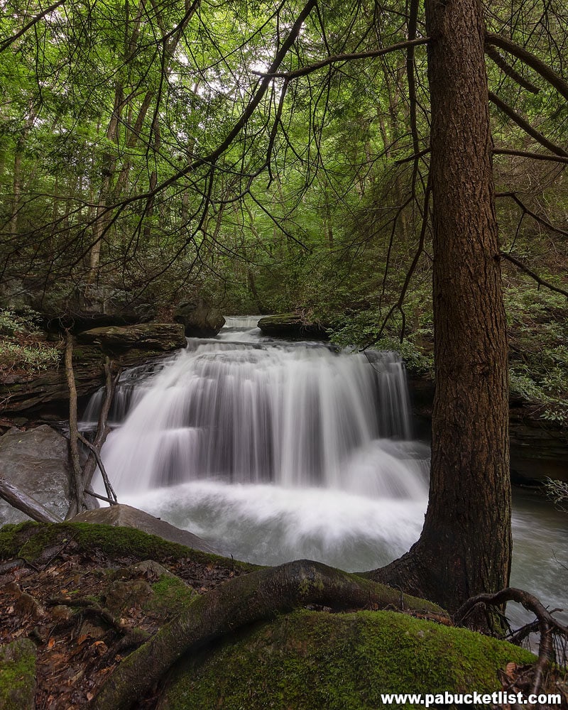
If you do make the descent, you’ll be greeted by the roar of water, assuming flow is up when you visit.
The best spot to shoot from and avoid spray from the falls is perched above it on this rock outcropping.
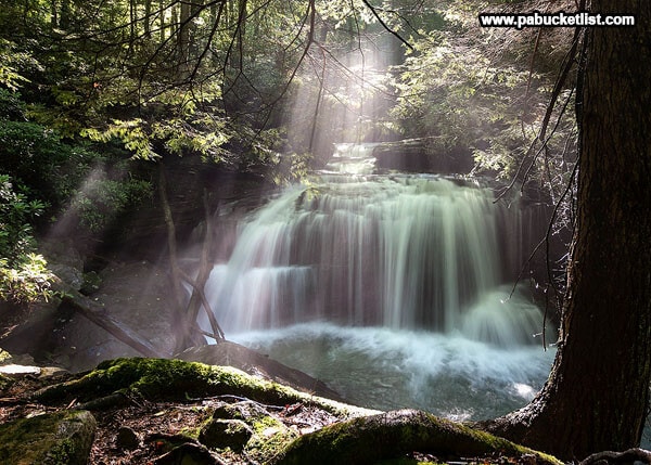
The sun typically doesn’t hit this waterfall until late afternoon, and can make for some dramatic lighting as pictured above.
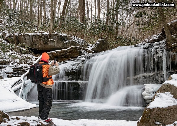
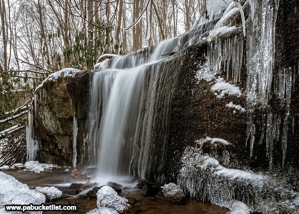
If you brave the descent in the winter (note microspikes on my boots in photo above), the ice formations at Lower Jonathan Run Falls are outstanding.
When you’re finished here, use the rope “handrail” on the user-created Lower Jonathan Run Trail to extract yourself from the Jonathan Run stream bed and back up onto the Jonathan Run Trail.
Sugar Run Falls
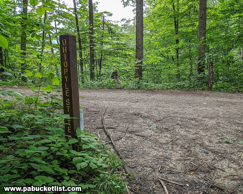
Continue hiking down the Jonathan Run Trail.
At 1.83 miles into the hike, you’ll come to the intersection of the Jonathan Run Trail and the Great Allegheny Passage (see image above).
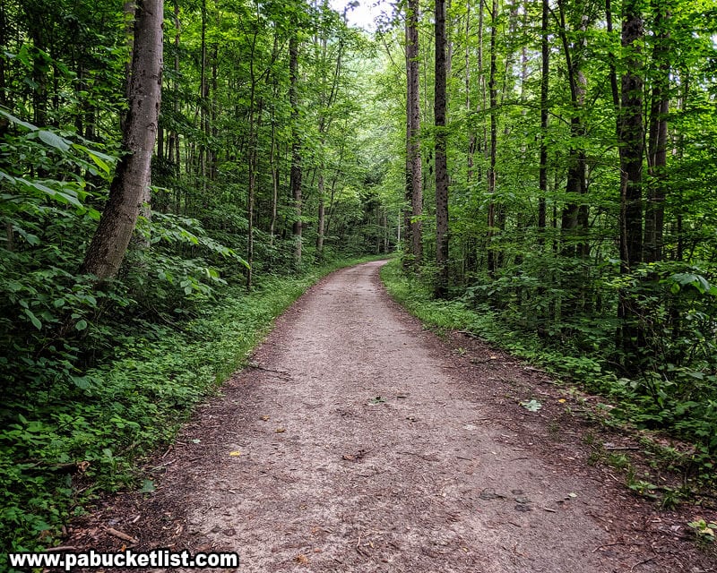
The Great Allegheny Passage is a wide, flat, crushed stone path.
You’ll hang a left onto the GAP and follow it .17 miles.
Be alert for bikes, runners, and other hikers on this multi-use trail. The bikes especially can come up on you in a hurry.
At 2.0 miles into your hike, you’ll arrive at the intersection of the Great Allegheny Passage and the Mitchell Field Trail.
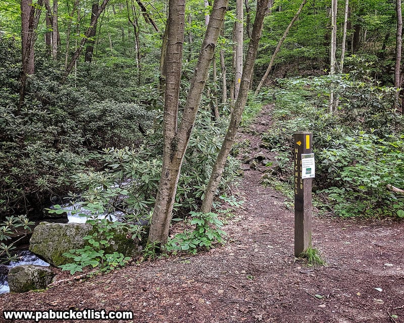
Standing where I was to take the photo above, you can see Sugar Run Falls in the winter, when the trees are bare.
But spring through fall, you’ll have to hike up the Mitchell Field Trail a brief .1 miles until the falls come into view.
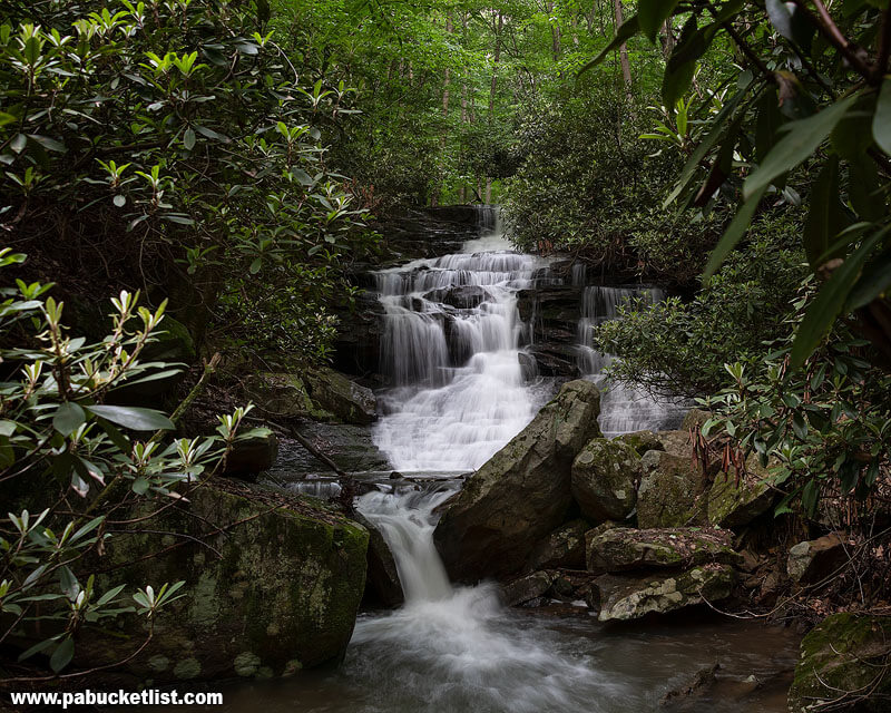
GPS Coordinates for Sugar Run Falls
39.905967, -79.491400
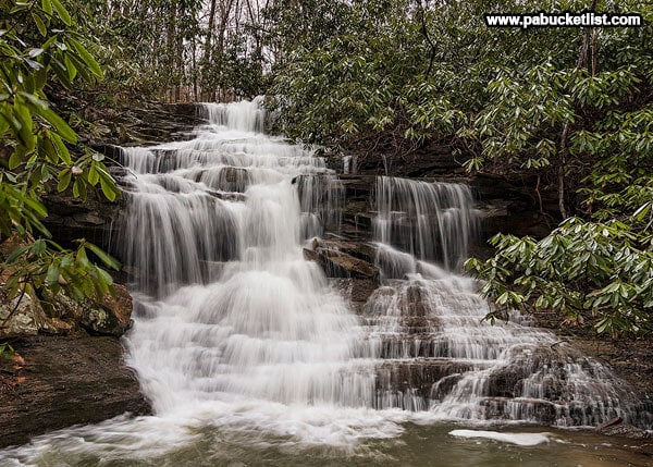
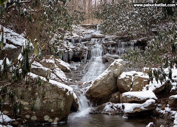
Consistently one of the finest looking waterfalls in western PA, Sugar Run rarely disappoints, barring a prolonged dry spell.
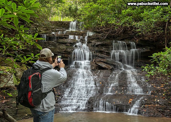
The spring thaw always has Sugar Run Falls surging with ice-cold water.
While in winter the ice formations hang like jewelry off the various tiers of the falls.
When finished here, simply hike back down the Mitchell Field Trail to the Great Allegheny Passage to resume the hike.
Hiking to Fechter Run Falls

The next part of the hike is one of simple backtracking.
Hike back the GAP .2 miles to the intersection with the Jonathan Run Trail.
Hike back up the Jonathan Run Trail, past Lower and Upper Jonathan Run Falls.
Cross over the bridge above Upper Jonathan Run Falls.
Arrive at the intersection of of Sugar Run Trail and Upper Jonathan Run Trail.
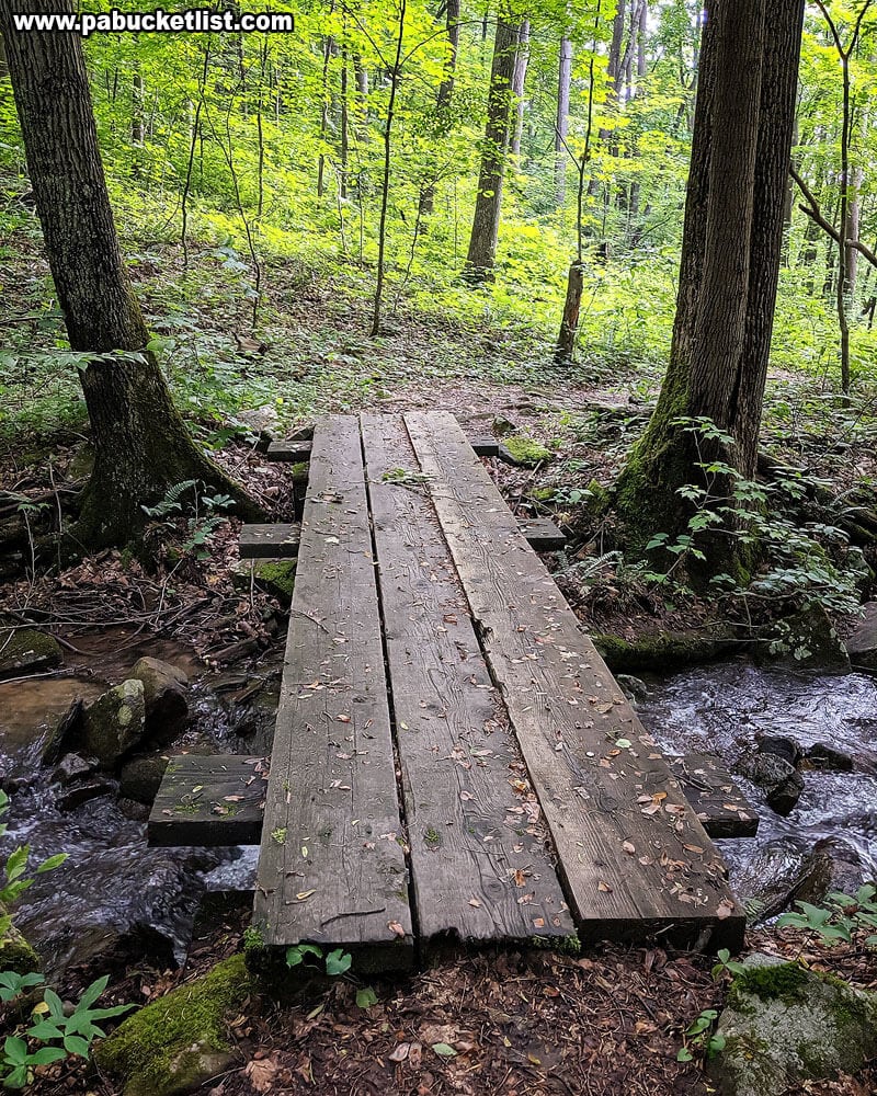
Bear right onto the Sugar Run Trail.
Hike .11 miles until you come to the footbridge pictured above.
The stream flowing under the bridge is Fechter Run.
25 paces past the bridge, you will come to the user-created Fechter Run Falls Trail pictured below.
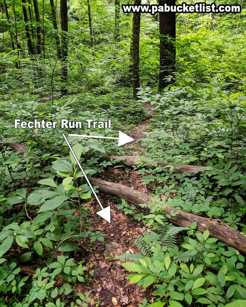
Bear right onto the Fechter Run Falls Trail and follow it down the hill to your first view of the falls.
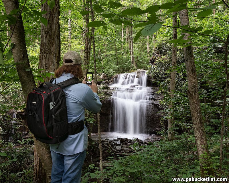
GPS Coordinates for Fechter Run Falls
39.901200, -79.493667
Photographing Fechter Run Falls
Probably the most “fickle” of the four waterfalls mentioned on this hike, it takes a good hard rain or prolonged wet spell to have Fechter Run Falls looking its best.
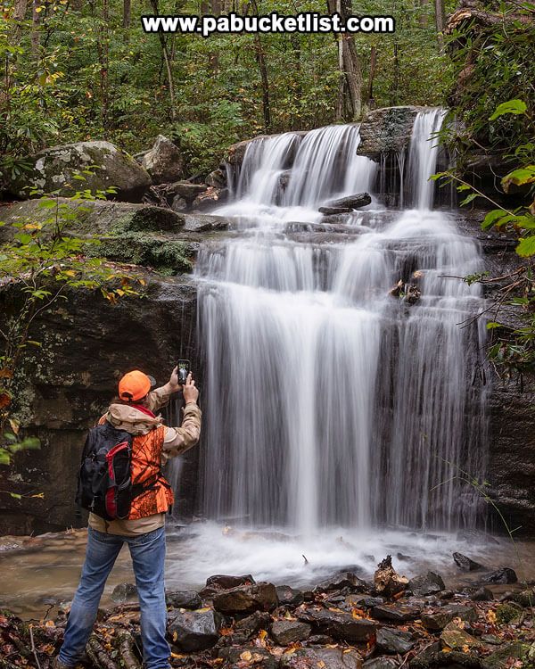
But if you happen to catch it with great flow and peak fall foliage, you may not want to leave!
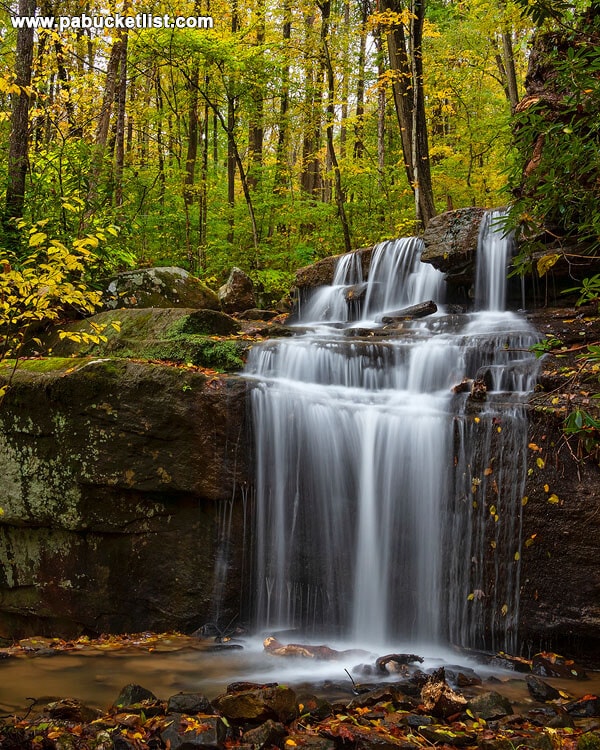
The sheer rock face over which the falls spill are bedecked with a myriad of ice formations in the winter months, making this a true 4-season waterfall destination worth visiting.
Completing the Hike
By simply backtracking the Sugar Run Trail to the Jonathan Run Trail (.11 miles) and then on up the Jonathan Run Trail another 1.27 miles, you’ll arrive back at your vehicle knowing you’ve just completed one of the most iconic waterfall hikes in all of Western Pennsylvania!
Nearby Attractions
10 of the Best Hiking Trails at Ohiopyle State Park will introduce you to more exceptional trails inside the confines of the park.
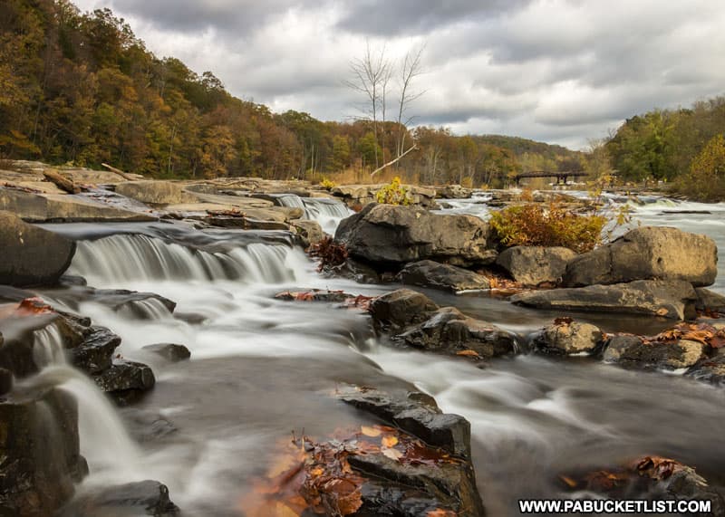
10 Must-See Waterfalls at Ohiopyle State Park will introduce you to even more sights and sounds along nearby creeks and streams.
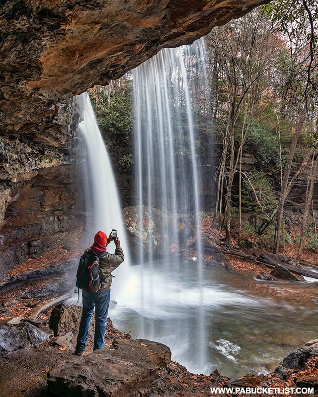
Baughman Rock Overlook at Ohiopyle State Park is one of the finest scenic overlooks in the Laurel Highlands.

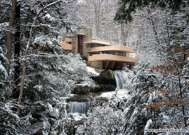
Fallingwater, located just a few miles from Ohiopyle, was designed by Frank Lloyd Wright and was voted by the American Institute of Architects as “the best all-time work of American architecture”.
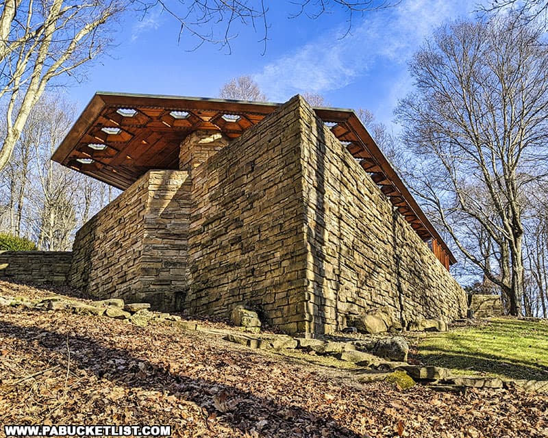
Kentuck Knob in Fayette County is another nearby Frank Lloyd Wright-designed home, built in 1954 for Isaac and Bernardine Hagan, founders of the Hagan Ice Cream company in nearby Uniontown, PA.
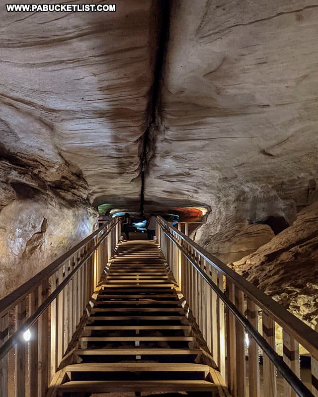
Nearby Laurel Caverns is billed as “Pennsylvania’s Largest Cave”, and is a great way to spend an hour or two BENEATH Fayette County!
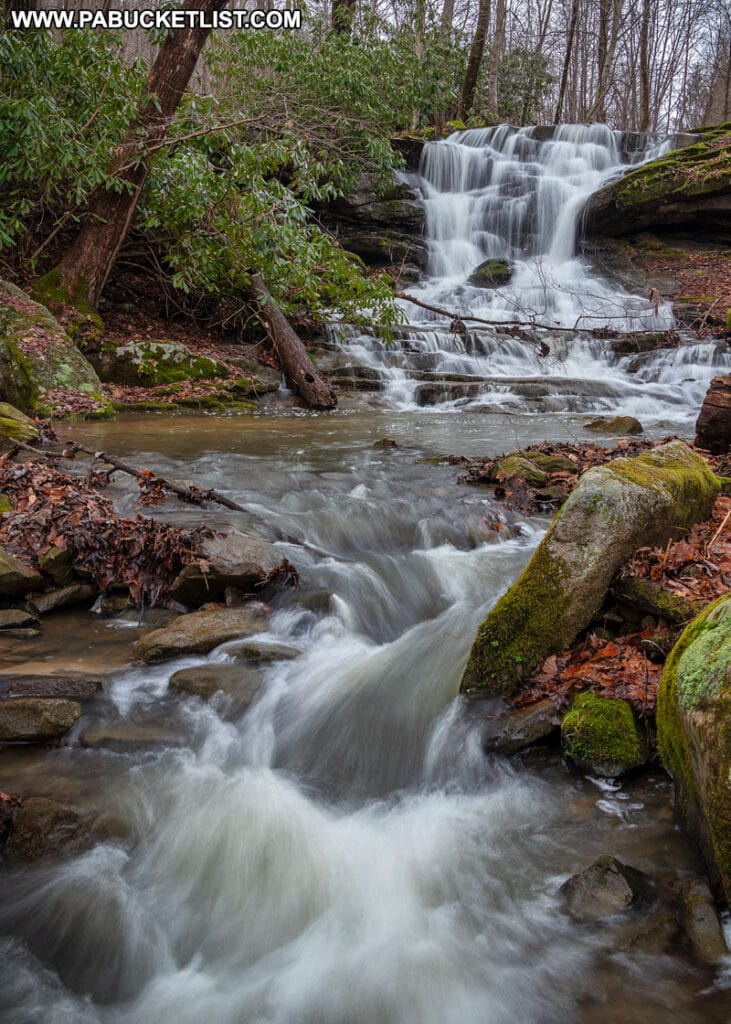
Stewarton Falls in Fayette County is one of the lesser-known waterfalls in the Laurel Highlands.
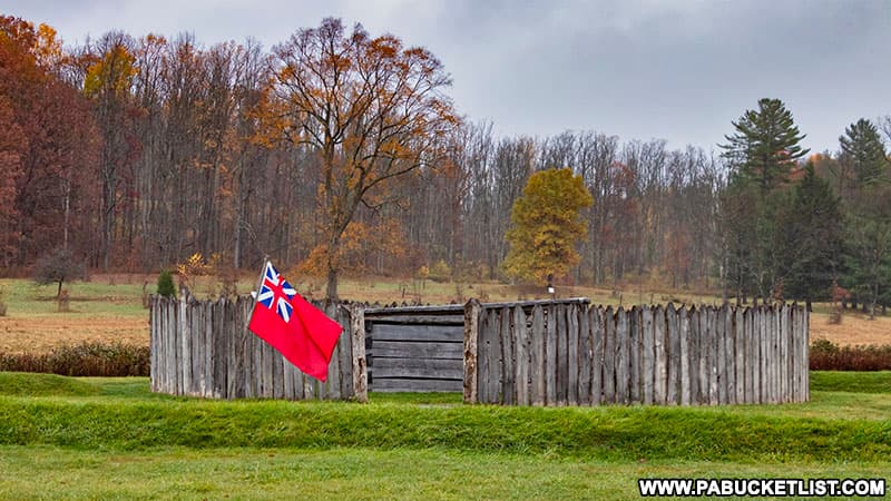
Fort Necessity in Fayette County is the site of the first battle in what would become known in North America as the French and Indian War.
Still not convinced you need to hike the Jonathan Run Trail?
Then check out some of these awe-inspiring video clips from the hike!
Did you enjoy this article?
If so, be sure to like and follow PA Bucket List on Facebook, Instagram, and/or Pinterest to stay up-to-date on my latest write-ups about the best things to see and do in Pennsylvania!
Click on any of the icons below to get connected to PA Bucket List on social media.


