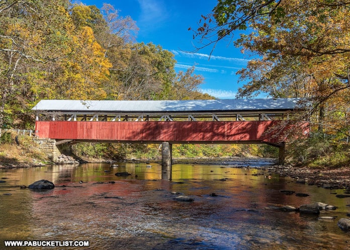
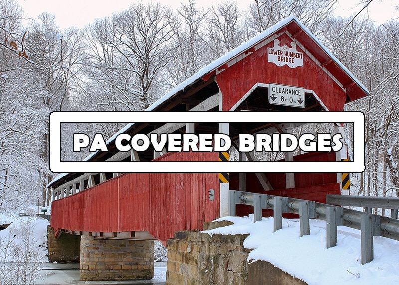
Lower Humbert Covered Bridge is one of ten remaining historic covered bridges in Somerset County, Pennsylvania.
Lower Humbert Covered Bridge FAQs
It was built in 1891, and extensively remodeled in 1991.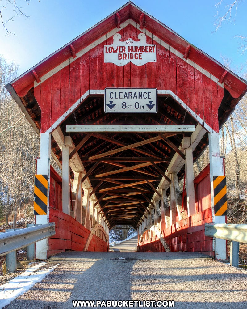
Yes – use GPS coordinates 39.84013, -79.32318.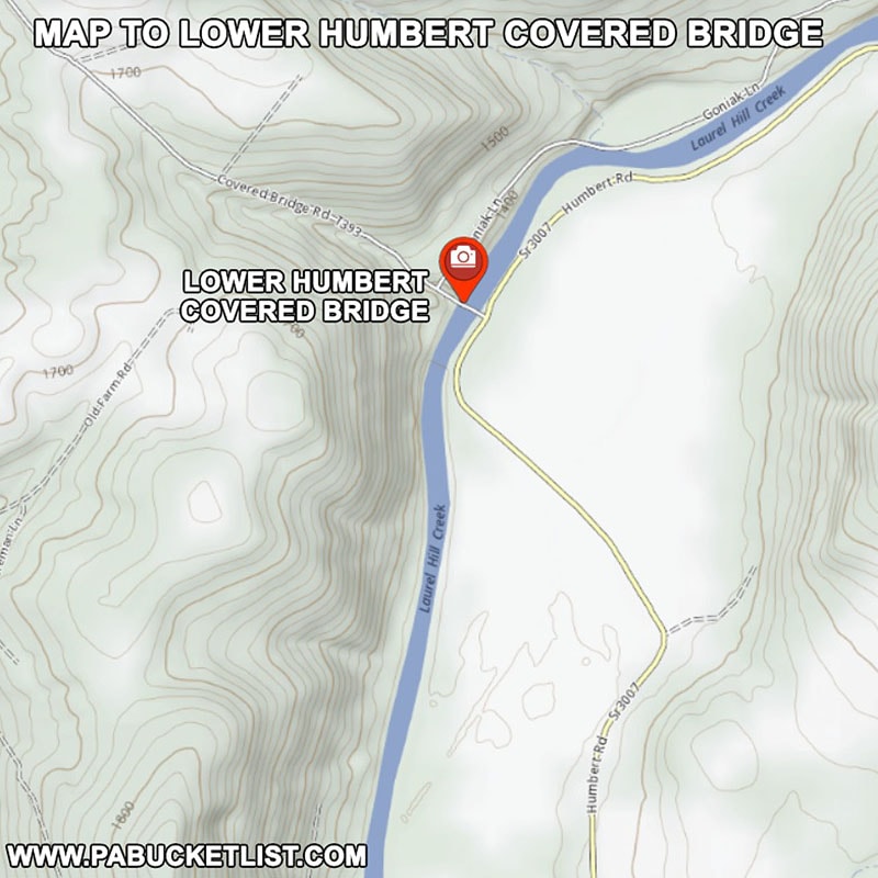
Laurel Hill Creek.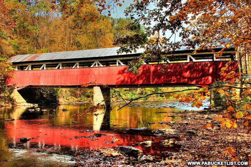
126.5 feet.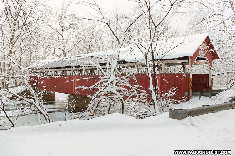
Burr arch trusses.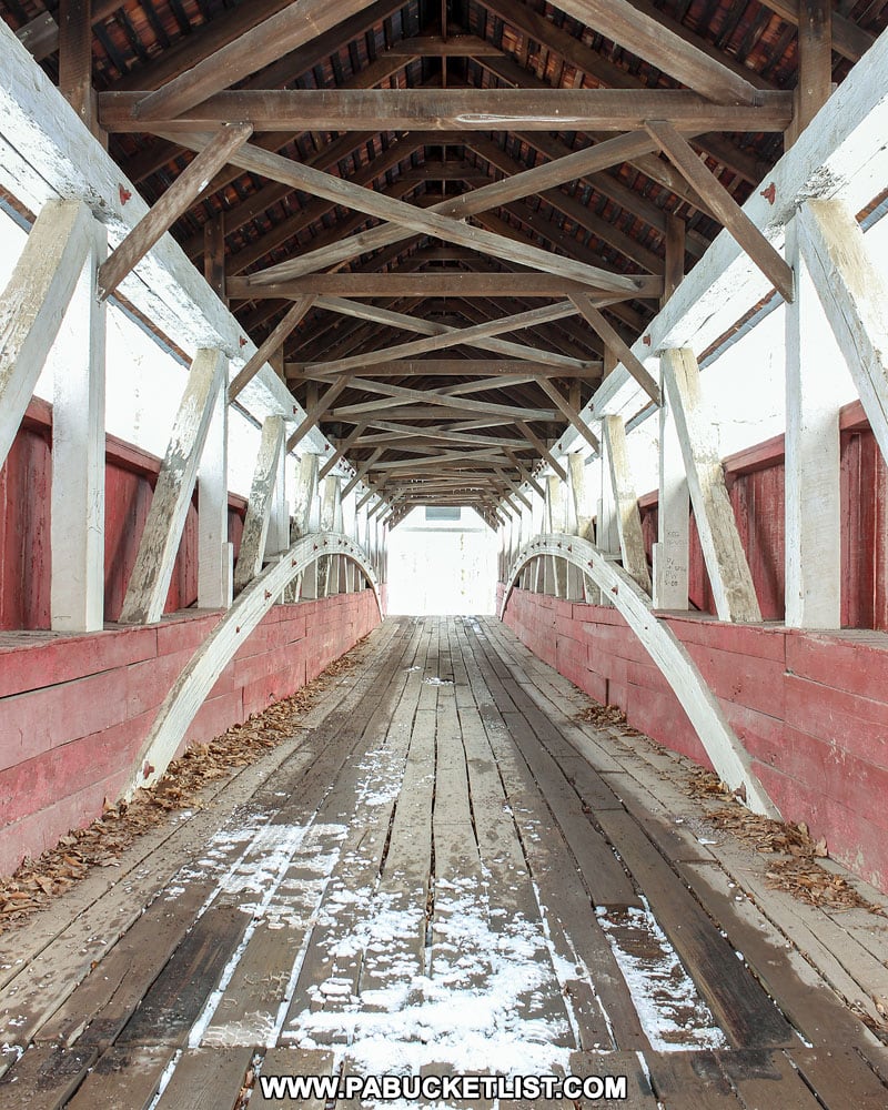
December 10, 1980.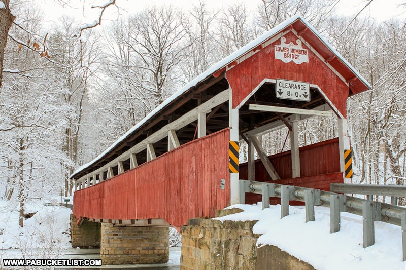
WGCB 38-56-12 (World Guide to Covered Bridges number)
NRHP 80003638 (National Register of Historic Places reference number)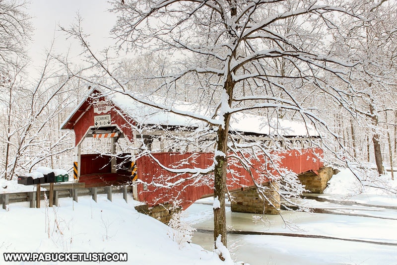
Yes – Covered Bridge Road passes through the bridge and is open to vehicular traffic.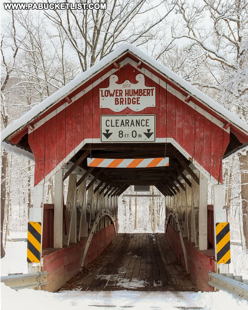
Looking for more Somerset County Covered Bridges?
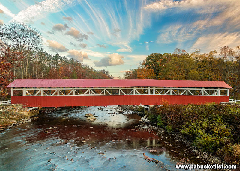
Barronvale Covered Bridge is the longest covered bridge in Somerset County.
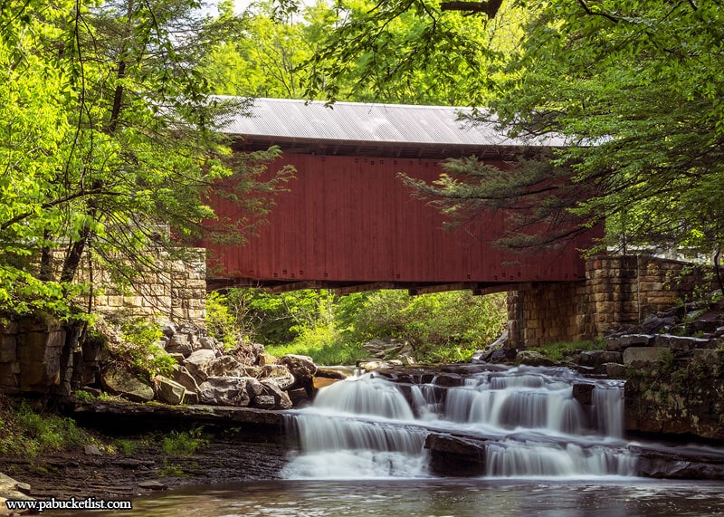
Pack Saddle Covered Bridge is the most famous covered bridge in Somerset County.
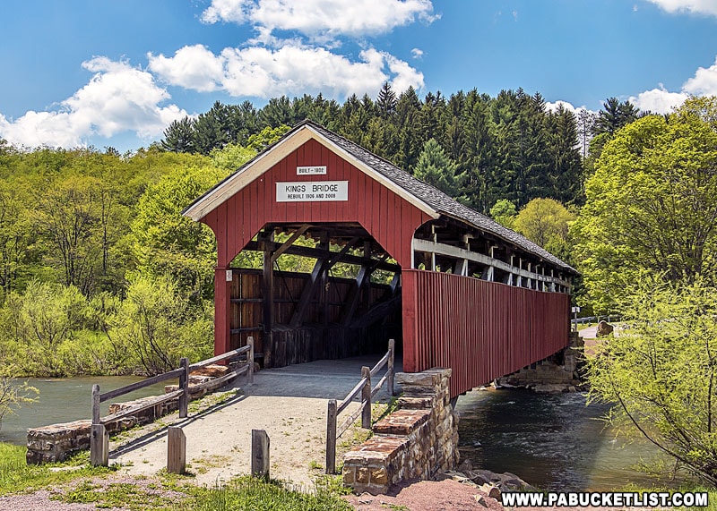
Kings Covered Bridge is a great place for a Somerset County picnic, with a covered pavilion next to the bridge.
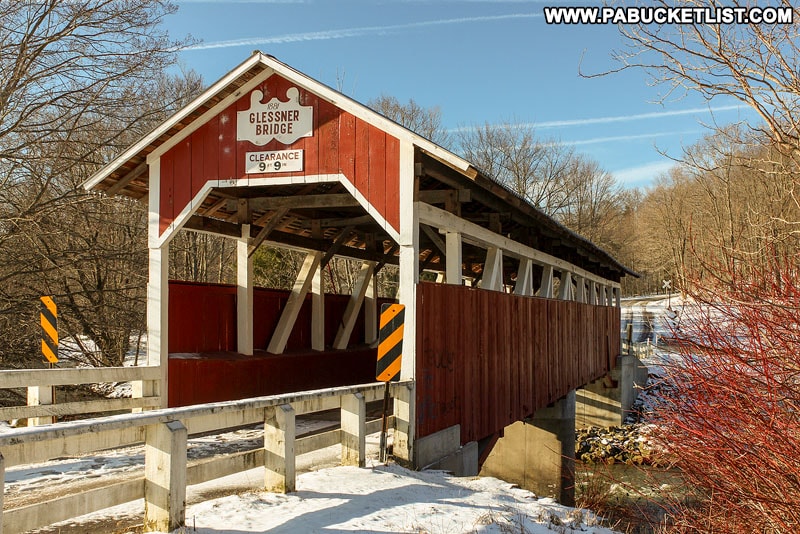
Glessner Covered Bridge lies on the outskirts of Shanksville, near the Flight 93 Memorial.
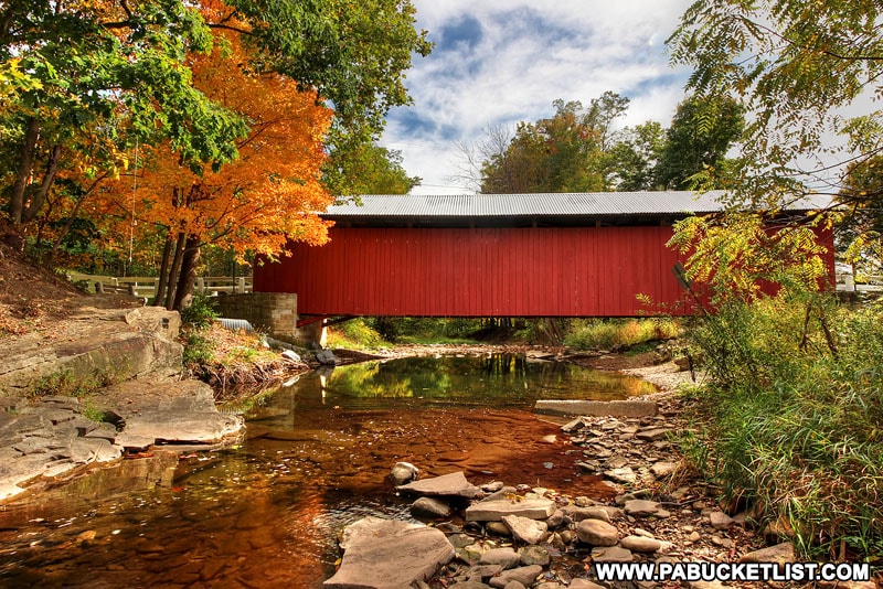
New Baltimore Covered Bridge spans the Raystown Branch of the Juniata River in eastern Somerset County.
Explore even more covered bridges on the Covered Bridges page here on PABucketlist.com.
Looking for more Laurel Highlands adventures?
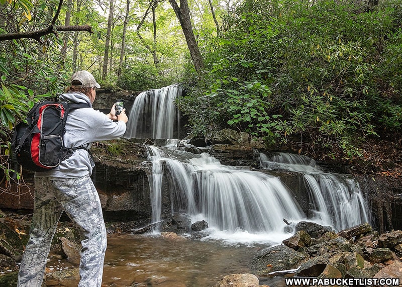
Then be sure to check out 20 Must-See Waterfalls in the Laurel Highlands.
Or if scenic overlooks are your thing, don’t miss Beam Rocks Overlook in Somerset County.

For a completely different type of bridge, the Salisbury Viaduct along the Great Allegheny Passage rail trail is a 1,908 foot long engineering marvel, towering 101 feet above the Casselman River in Somerset County.

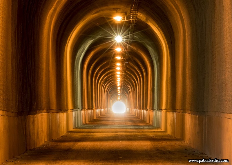
For a unique underground experience, the Big Savage Tunnel along the Great Allegheny Passage offers you the chance to hike/bike a 3,294 foot long former railroad tunnel, originally constructed in 1912.
Did you enjoy this article?
If so, be sure to like and follow PA Bucket List on Facebook, Instagram, and/or Pinterest to stay up-to-date on my latest write-ups.
Click on any of the icons below to get connected to PA Bucket List on social media!


