
If you’re looking for directions to Schull’s Rock Overlook at Susquehanna Riverlands State Park in York County, you’re in the right place!

Schull’s Rock Overlook is a fantastic rock outcropping and vista on the west bank of the Susquehanna River, located in one of PA’s newest state parks (added in 2022).

While the park is still in the early stages of its development, the Schull’s Rock Overlook Trail is one feature that has been completed there.
This article will show exactly where to park, what the trail is like, and what you can expect to see at Schull’s Rock Overlook in York County!
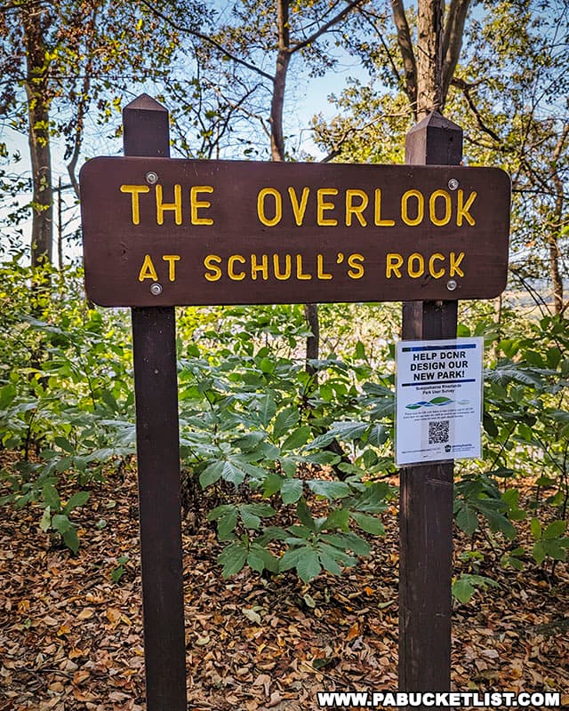
Directions to Schull’s Rock Overlook
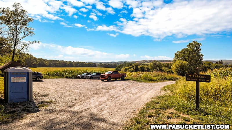
The parking area for the hike to Schull’s Rock Overlook is located along River Farm Road at GPS coordinates 40.04957, -76.63642.
The parking area is located on the west side of the road, with the trailhead lying on the east side of the road.
The yellow-blazed trail is 0.7 miles in length (one-way), and follows a northeasterly route.
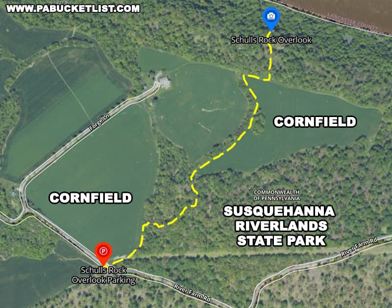
The hike is relatively flat (less than 100 feet of elevation change), and passes through both wooded areas and the edge of farm fields.

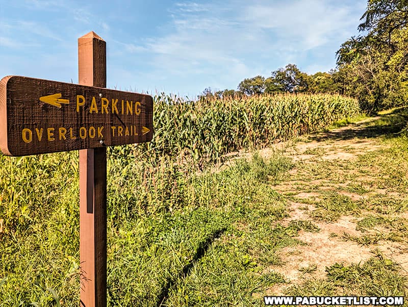
At periodic intervals along the hike you’ll encounter these posts emblazoned with yellow arrows, pointing you in the right direction.
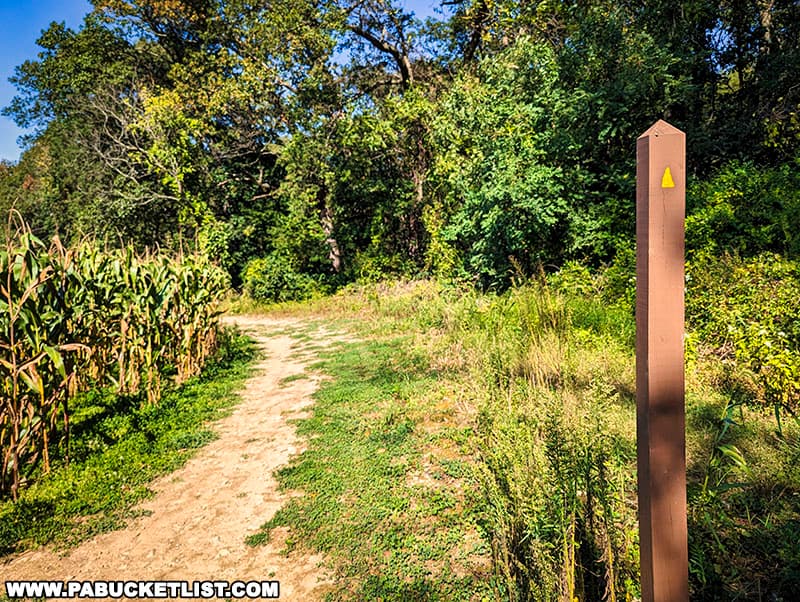
The yellow blazes are easy to follow along the wooded sections of the trail as well, owing in part to the newness of the trail.

On an early September afternoon hike to the overlook, I encountered an abundance of wildflowers and butterflies along the trail.
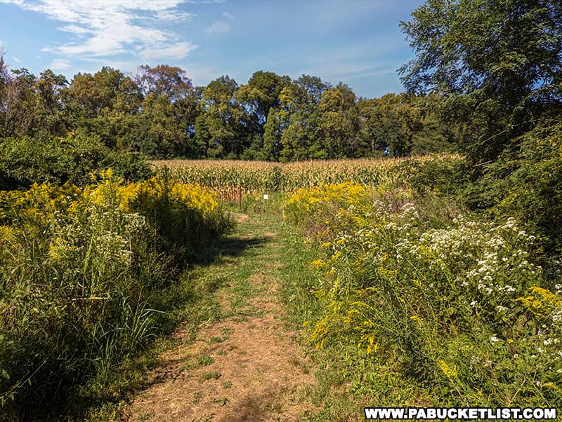
Hiking at a leisurely pace, I arrived at the overlook in approximately 20 minutes.

Views from Schull’s Rock Overlook
The view to the north from Schull’s Rock Overlook is of Shocks Mills Bridge, with Codorus Creek spilling into the Susquehanna River just above the bridge.

To the east you’re looking at Lancaster County farmland.

To the south your views are downstream along the Susquehanna River, in the direction of Wrightsville (York County) and Columbia (Lancaster County).

If you’re wondering if the Shocks Mills Bridge is still used – it is!

This 2209 foot-long span originally opened by the Pennsylvania Railroad in 1905 is still used by the Norfolk Southern Railway.

It may be a relatively new state park, but the hike to Schull’s Rock Overlook at Susquehanna Riverlands State Park will become one of your favorites in York County!

Nearby Attractions
Mount Pisgah Overlook in York County, at 885 feet above sea level, offers a spectacular panoramic view of the surrounding Susquehanna River Valley.

The Pinnacle Overlook, often referred to simply as “The Pinnacle”, is located just north of the Holtwood Dam on the eastern shore of the Susquehanna River.

Chickies Rock is one of the most popular scenic overlooks along the eastern side of the Susquehanna River, a towering rock outcropping more than 100 feet above the river.

Hawk Point Overlook in Lancaster County offers visitors panoramic views of the lower Susquehanna River and the surrounding area from a vantage point at Susquehannock State Park.

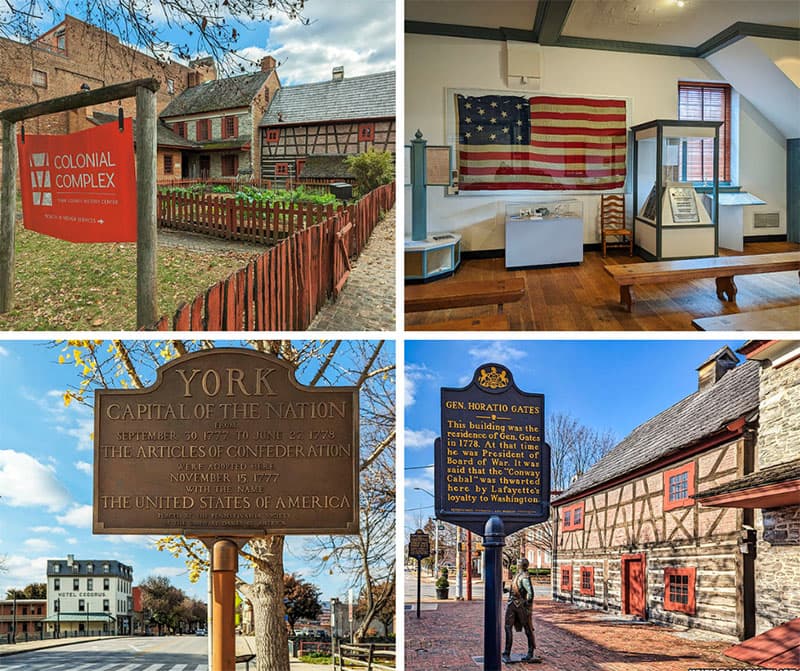
The Colonial Complex in York includes some of the oldest and most historic buildings in the city, which served as the Capital of the Nation for nine months during the Revolutionary War!
The York County Agricultural and Industrial Museum is housed in a former factory complex in downtown York, and features thousands of artifacts and exhibits highlighting York County’s contributions to the areas of agriculture, transportation, and manufacturing.

The Haines Shoe House near York is one of PA’s most recognizable roadside attractions, and now it’s a vacation rental home!

Since 1958, the York County Historical Society Museum has used artifacts and exhibits to highlight the region’s rich heritage and historical significance.

Did you enjoy this article?
If so, be sure to like and follow PA Bucket List on Facebook, Instagram, and/or Pinterest to learn more about the best things to see and do in Pennsylvania!
Click on any of the icons below to get connected to PA Bucket List on social media.


