
If you’re looking for the best things to see and do in the Sproul State Forest, you’re in the right place!
Sproul State Forest spans 305,450 acres—just over 476 square miles—making it the largest forest in Pennsylvania’s state forest system.
Most of Sproul State Forest lies within western Clinton and northern Centre counties, with additional parcels extending into Potter, Cameron, and Lycoming counties.
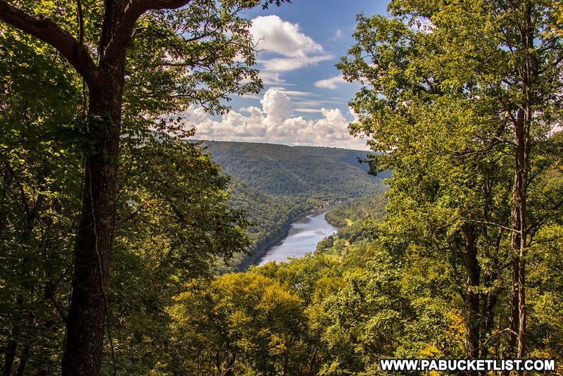
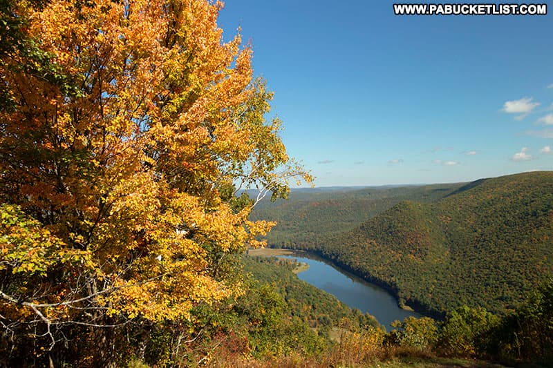
Its landscape is defined by rugged, steep terrain carved out by the West Branch of the Susquehanna River and its many tributary streams.
The initial tract of land that would later form Sproul State Forest was acquired in 1898—the very first parcel ever purchased by the Commonwealth of Pennsylvania for what are now the 20 state forests, collectively encompassing more than two million acres.
The forest is named in honor of William C. Sproul, who served as Pennsylvania’s governor from 1919 to 1923 and is remembered for significantly advancing the state’s public education system.

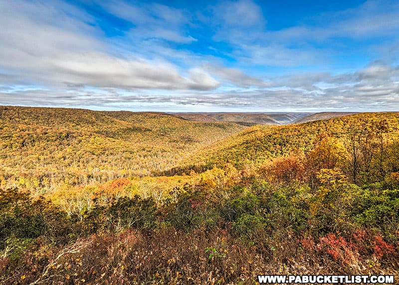
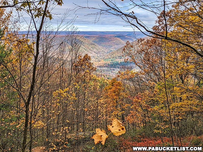
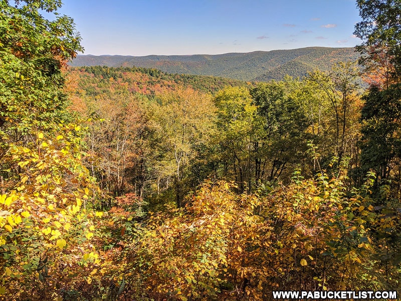
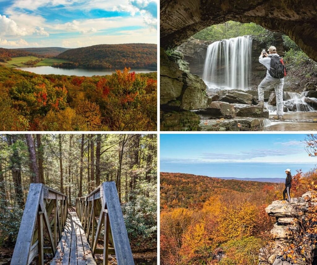
From scenic vistas to waterfalls to miles of hiking trails, here are 16 of the best things to see and do in the Sproul State Forest.
Simply click on the blue text links on the map above or in the descriptions below (listed alphabetically) to read more in-depth information about each destination.
1. Boggs Run Vista
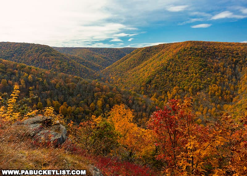
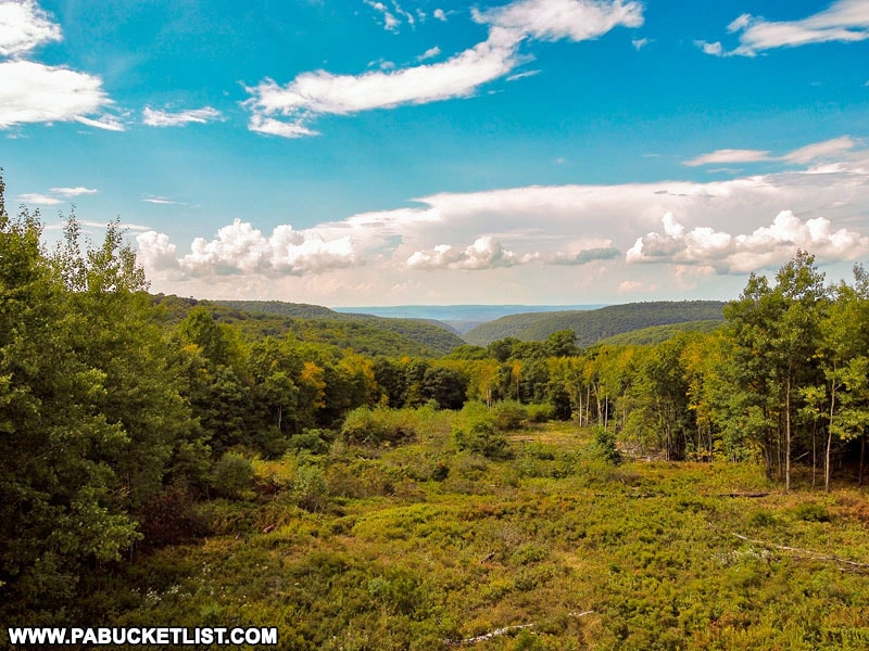
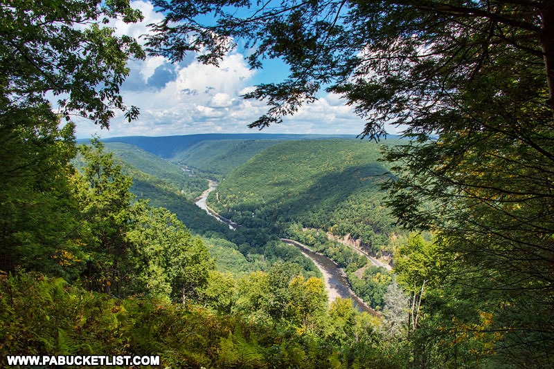
Boggs Run Vista is an off-trail scenic overlook in the Clinton County portion of the Sproul State Forest, and has been called one of the finest vistas in the PA Wilds.
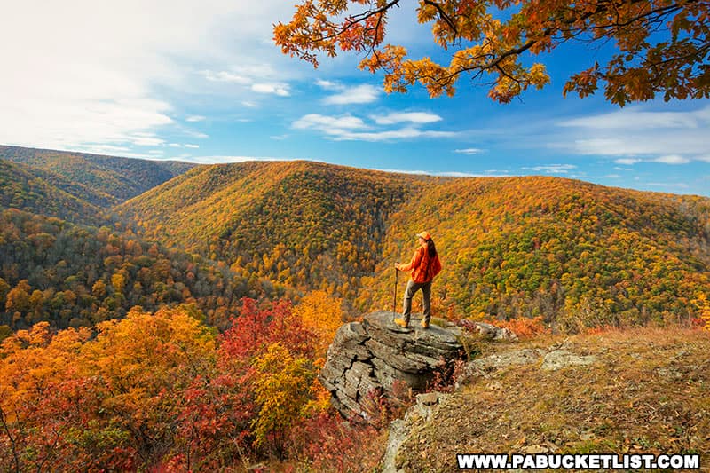
Use GPS coordinates 41.31271, -77.70300 to pin this overlook on your favorite mapping/hiking app.
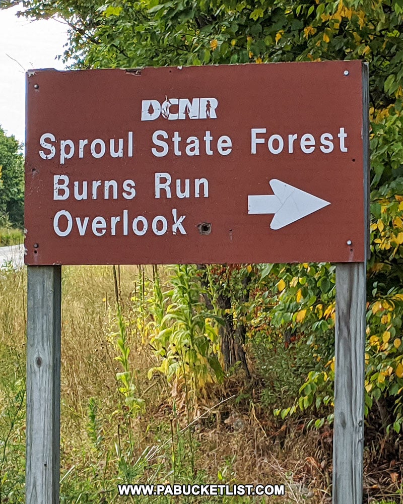
2. Burns Run Overlook
Located right along side Route 144, Burns Run Overlook looks out over the Burns Run Wild Area in the Sproul State Forest.
Use GPS coordinates 41.23288, -77.78899 to navigate to the parking area adjacent to the overlook.
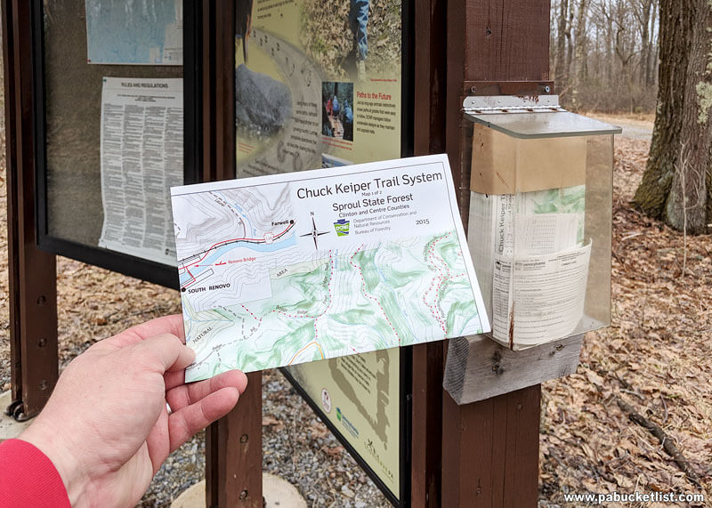
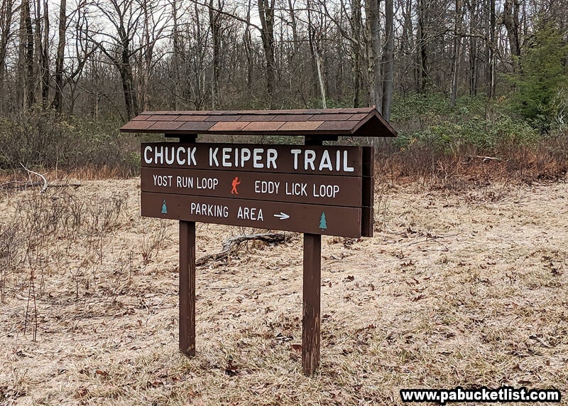
3. Chuck Keiper Trail
The Chuck Keiper Trail spans roughly 50 miles and forms a double-loop system that passes through both the Fish Dam and Burns Run Wild Areas.
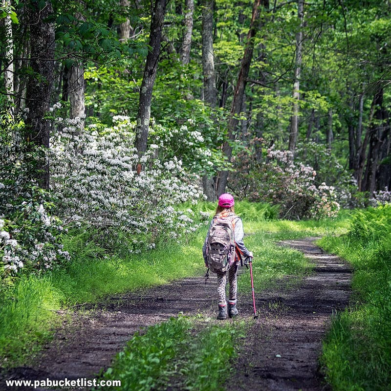
The main trailhead parking lot is located along Route 144 on the Centre/Clinton county line, at GPS coordinates 41.17516, -77.87903.
4. CL Johnson Memorial Overlook
CL Johnson Memorial Overlook is located along Grugan Hollow Road at GPS coordinates 41.29366, -77.66327.
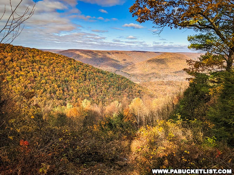
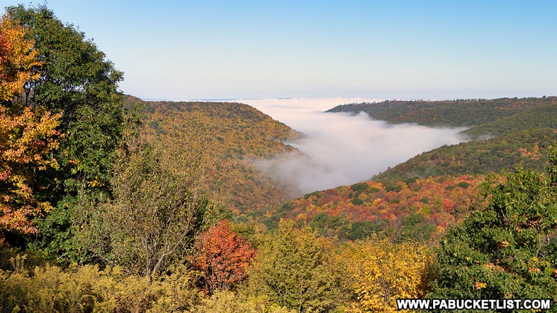
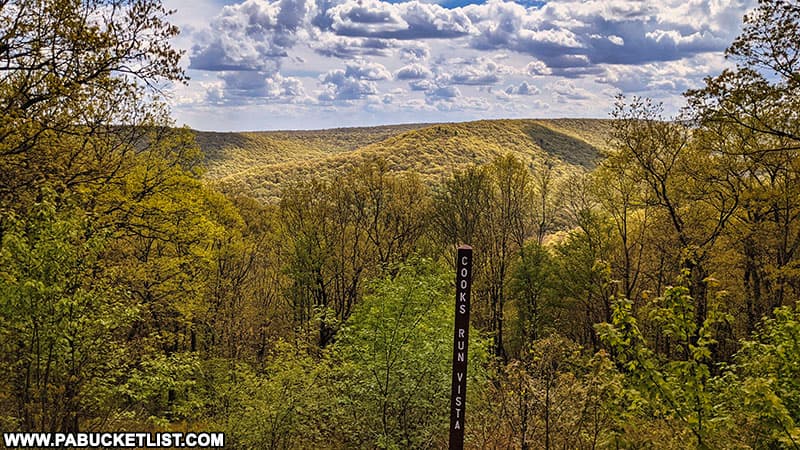
5. Cooks Run Vista
Cooks Run Vista provides a west-facing, roadside view along Crawley Road near Kettle Creek State Park.
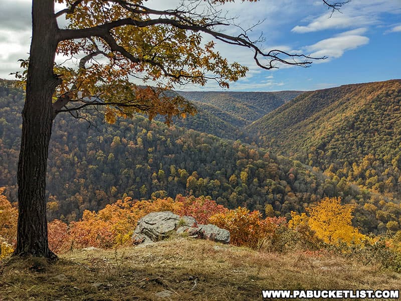
6. Fields Ridge Road Overlook
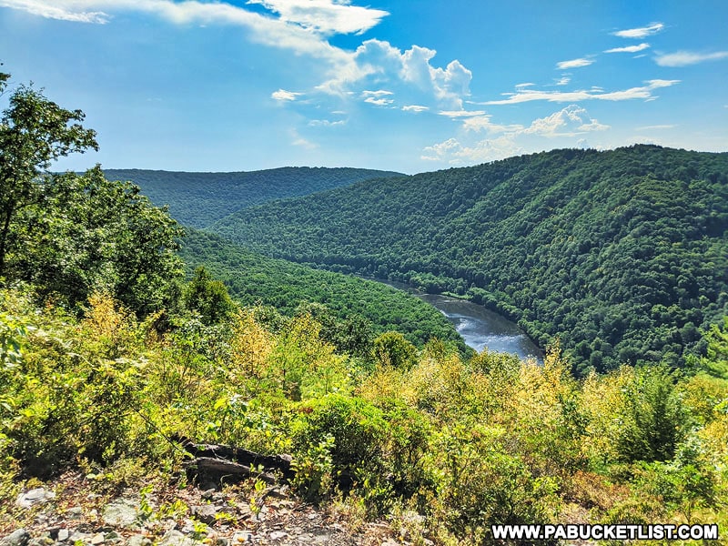
Located along Fields Ridge Road in Centre County, Fields Ridge Road Overlook rises high above the West Branch of the Susquehanna River, at GPS coordinates 41.20921, -77.95906.
7. Fish Dam Scenic Overlook
Located at GPS coordinates 41.23320, -77.78690 along Route 144 in Clinton County, Fish Dam Scenic Overlook offers visitors a view to the northwest.
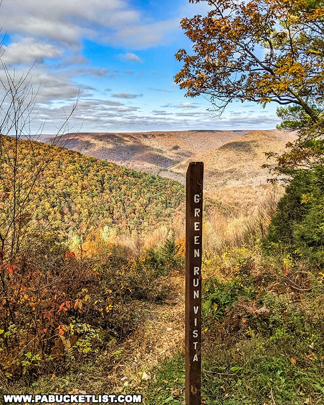
8. Green Run Vista
Green Run Vista is a roadside overlook, located at GPS coordinates 41.28482, -77.63165 along Grugan Hollow Road.
9. Keating Mountain Road Vista
Keating Mountain Road Vista is a roadside overlook located at GPS coordinates 41.24752, -77.91118, a few miles south of Route 120 in Clinton County.
10. Kendig Point Vista
Kendig Point Vista is a partially-overgrown roadside overlook along Grugan Hollow Road in Clinton County, at GPS coordinates 41.29422, -77.65386.
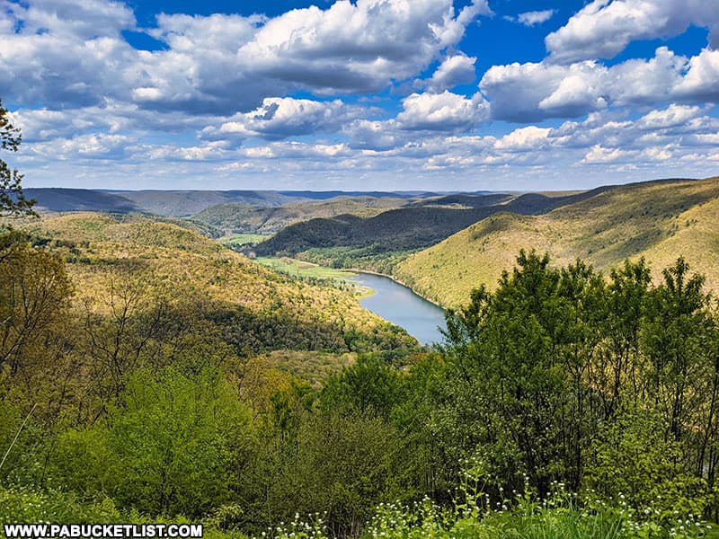
11. Kettle Creek Vista
Located at GPS coordinates 41.35977, -77.94276, Kettle Creek Vista is located off of Crowley Road in the Sproul State Forest, overlooking Kettle Creek State Park.
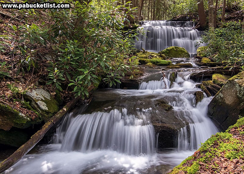
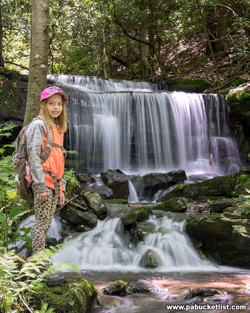
12. Kyler Fork Falls
Kyler Fork Falls is located just off the Chuck Keiper Trail in the Centre County portion of the Sproul State Forest.
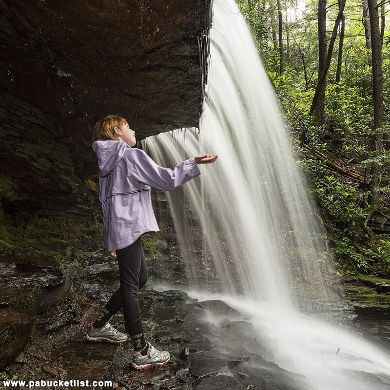
13. Round Island Run Falls
Round Island Run Falls is located in a remote western corner of Clinton County, near (but not in) the Quehanna Wild Area.
Because of the three tiers that make up this waterfall, Round Island Run Falls is sometimes referred to as Three Falls.
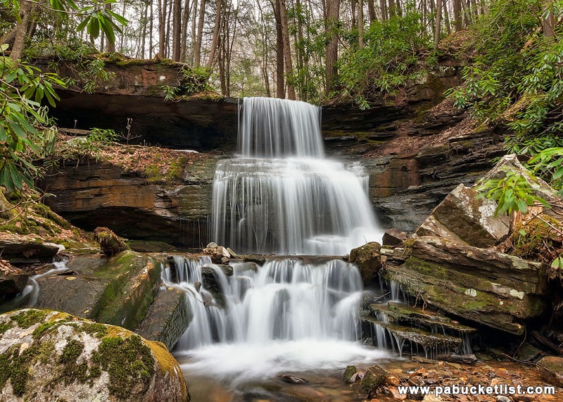
It’s also one of a handful of Pennsylvania waterfalls you can stand behind!
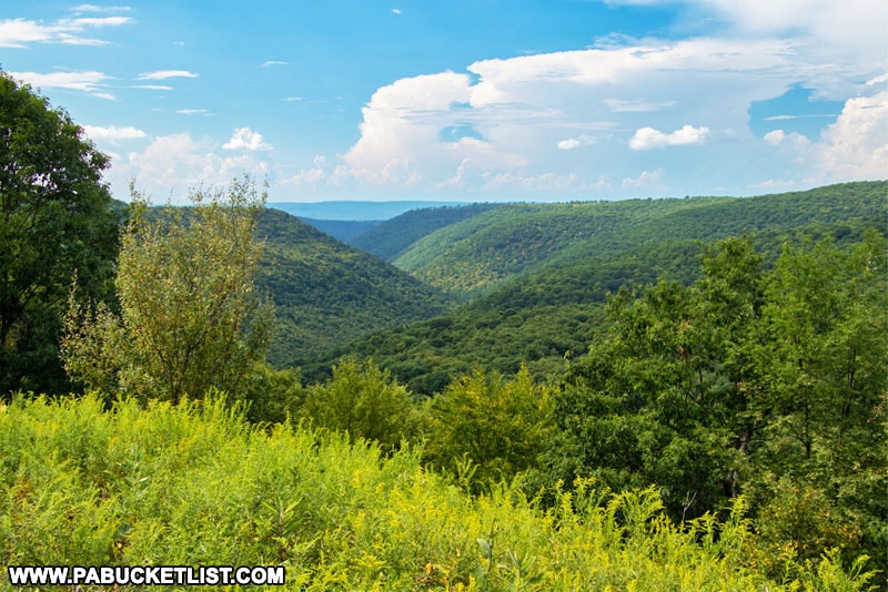
14. Sinnemahoning Vista
Sinnemahoning Vista is a roadside overlook located at GPS coordinates 41.2527, -77.92409, along Keating Mountain Road.
15. Sugar Camp Vista
Sugar Camp Vista is a roadside overlook located along Crowley Road in Clinton County, at GPS coordinates 41.36904, -77.95405.
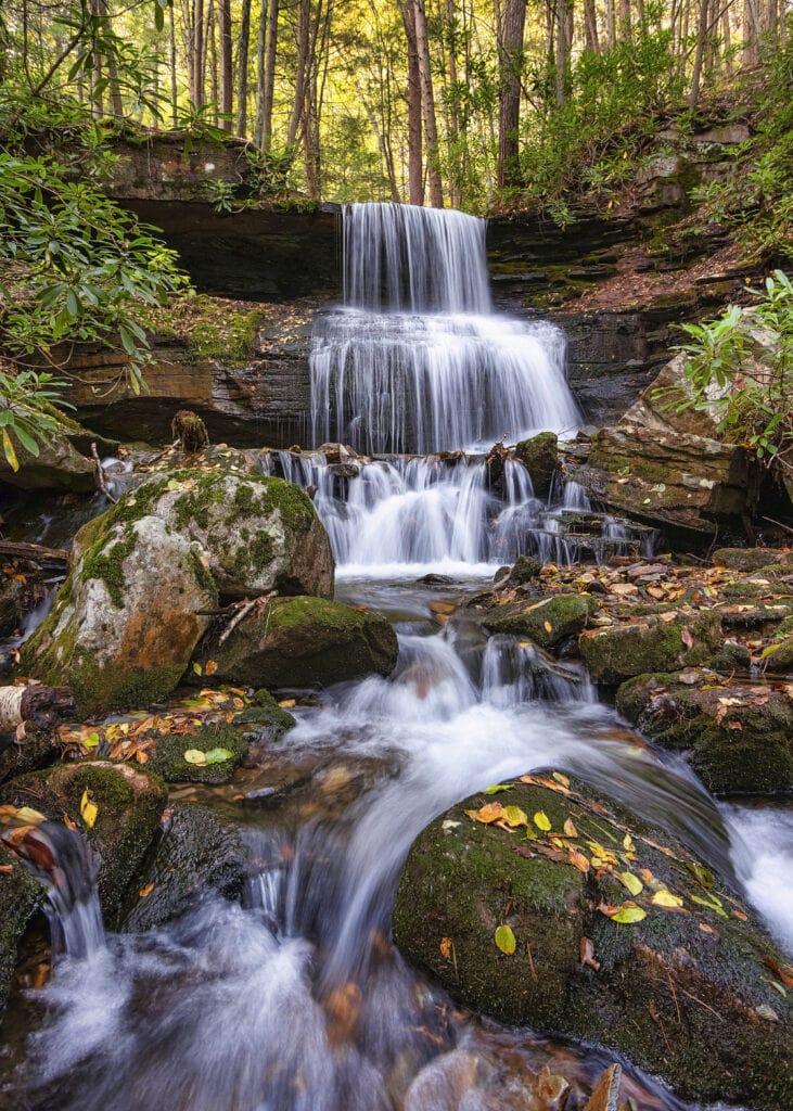
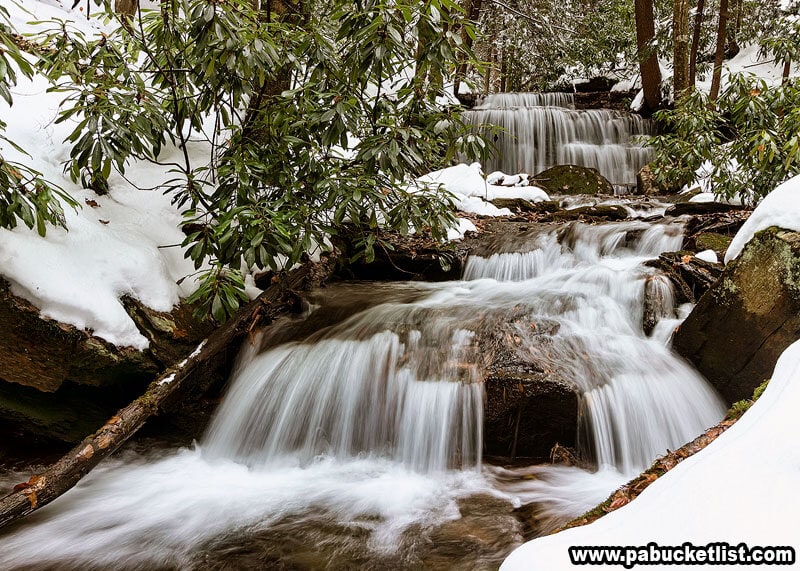
16. Yost Run Falls
Yost Run Falls is the tallest waterfall in Centre County, and is located in the northern part of the county, along the beautiful Chuck Keiper Trail.

No matter the season, Yost Run Falls is one of the most picturesque spots in the Sproul State Forest.
Related Attractions
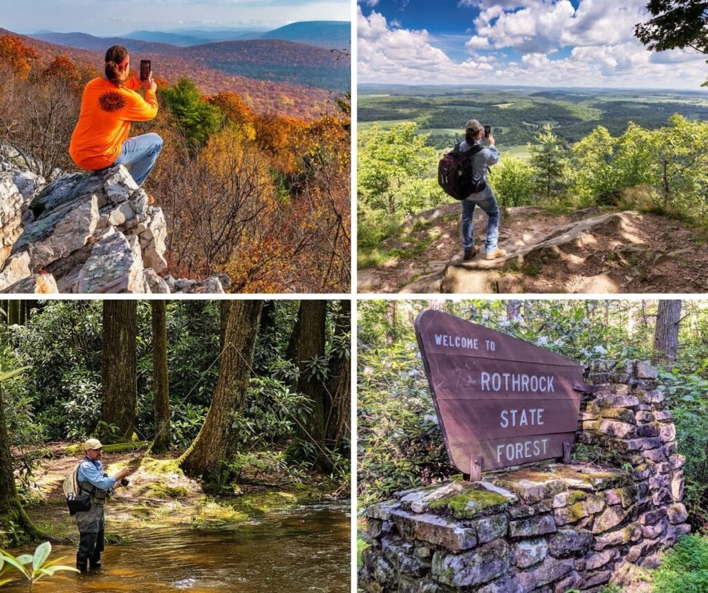
19 Must-See Attractions in the Rothrock State Forest introduces you to the top spots in a forest that spans 96,956 acres across Huntingdon, Mifflin, and Centre counties, set amid the rugged terrain of Pennsylvania’s Ridge and Valley province.
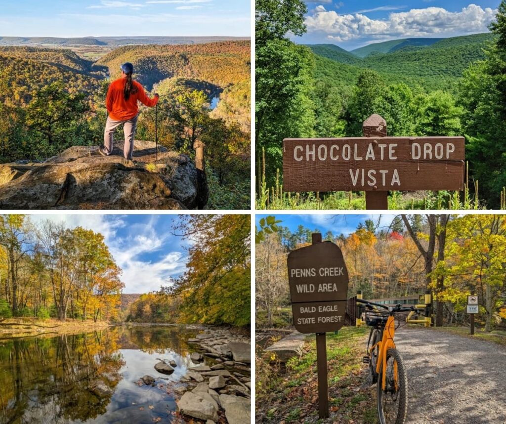
11 Must-See Attractions in the Bald Eagle State Forest showcases the best destinations within this forest that stretches across 194,602 acres in Snyder, Union, Centre, Mifflin, and Clinton counties, embracing central Pennsylvania’s high ridges, clear mountain streams, and several remarkable tracts of old-growth forest.
9 Must-See Attractions in the Forbes State Forest highlights the best things to see and do in a forest which encompasses more than 50,000 acres in western Pennsylvania, spanning Westmoreland, Somerset, and Fayette counties.
9 Must-See Attractions in the Buchanan State Forest showcases the best destinations within this 71,683-acre expanse stretching across Bedford, Fulton, and Franklin Counties, where rugged mountains and winding valleys define Pennsylvania’s Ridge-and-Valley region.

Discover hundreds of incredible places to explore across Pennsylvania with the interactive PA Bucket List Travel Map!
Did you enjoy this article?
If so, be sure to like and follow PA Bucket List on Facebook, Instagram, and/or Pinterest to learn more about the best things to see and do in Pennsylvania!
Click on any of the icons below to get connected to PA Bucket List on social media.