
If you’re looking for the best daytime attractions near Cherry Springs State Park, you’re in the right place!
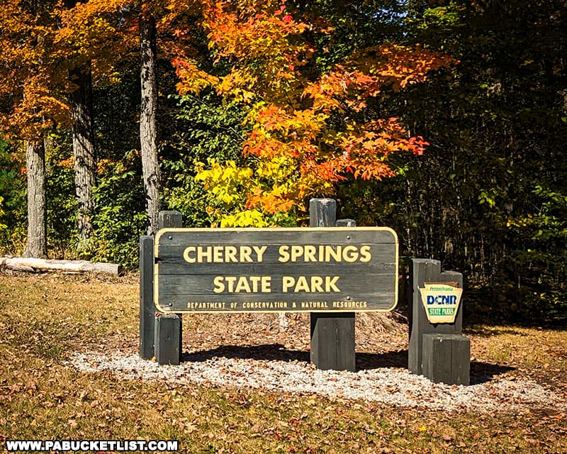
Cherry Springs State Park is an 82-acre Pennsylvania state park renowned for its dark skies and excellent stargazing opportunities.

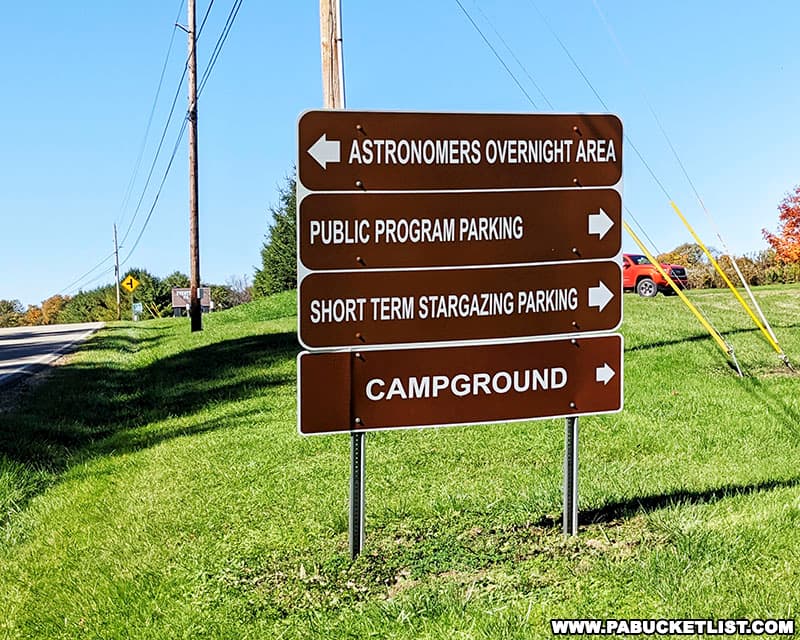
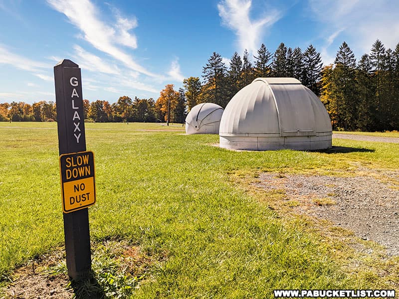
The park is divided into two separate fields, one for casual stargazers, and one for more serious astronomers and astrophotographers.
But no matter which category you fall into, the question arises – what do you do during the DAY near Cherry Springs State Park, while you’re waiting for the famous darkness to fall?
This article is the answer to that question, describing 12 of the best daytime destinations near Cherry Springs State Park!
I plotted each of these 12 destinations as a blue-and-white star on the map below (with the red-and-white star denoting Cherry Springs State Park).
All 12 destinations I’ve selected are within a 30 mile drive of Cherry Springs State Park.
Simply click on the blue text links in the descriptions below to view more in-depth information about each destination.
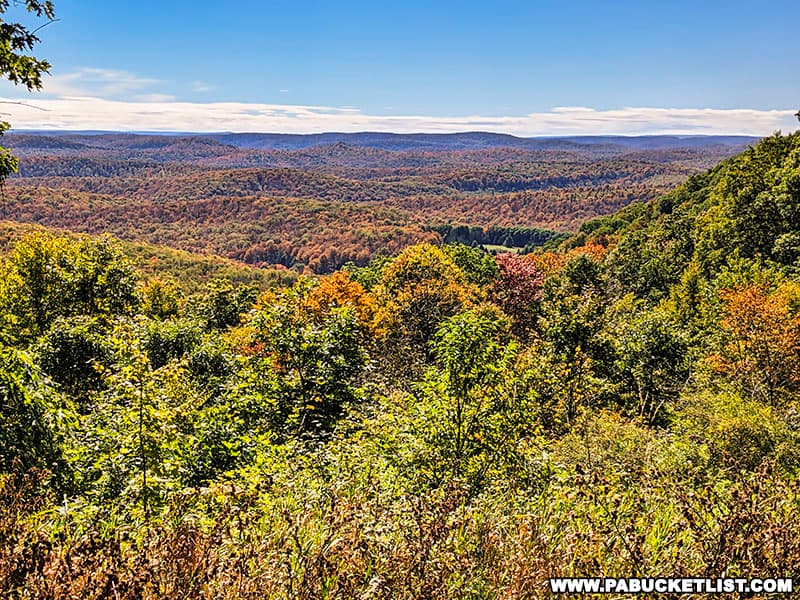
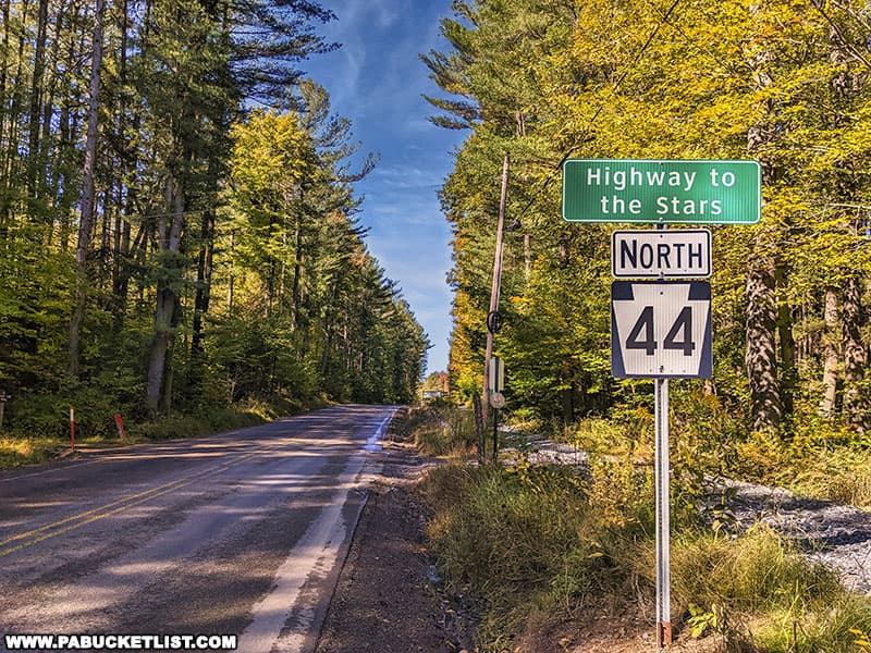
1. Cherry Springs Vista
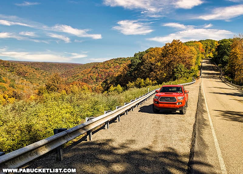
Located just 2 miles southeast of the park, Cherry Springs Vista is a terrific roadside overlook along Route 44, AKA “The Highway to the Stars”.
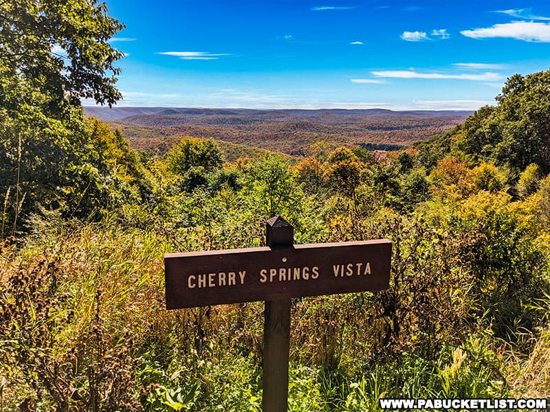
If navigating by GPS, you’ll find Cherry Springs Vista at coordinates 41.64538, -77.79962.
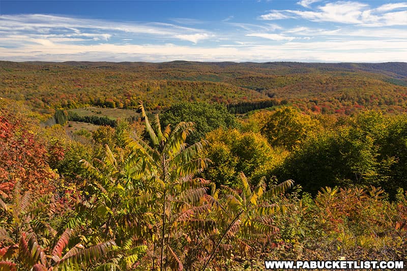
2. Boone Run Vista
Boone Run Vista is a roadside scenic overlook located 2.4 miles from Cherry Springs State Park, along Junction Road.
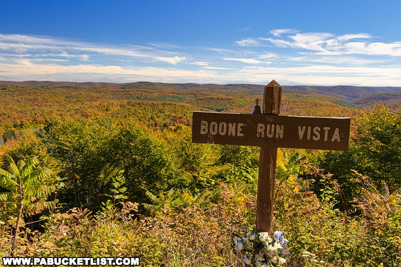
If navigating by GPS, you’ll find Boone Run Vista at coordinates 41.63511, -77.81436.
3. Water Tank Vista
Water Tank Vista is located roadside along Route 44 just 3.5 miles from Cherry Springs State Park.
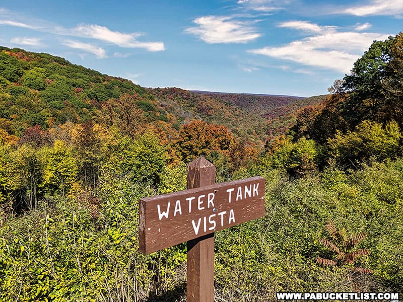
If navigating by GPS you’ll find this spectacular roadside vista at coordinates 41.66010, -77.78063.
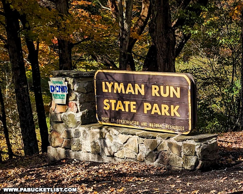
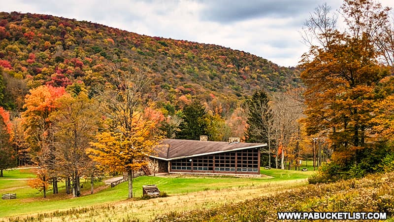
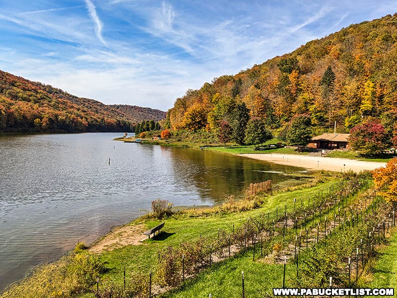
4. Lyman Run State Park
Lyman Run State Park is a 595-acre park located in northern Potter County, 8.3 miles north of Cherry Springs State Park.
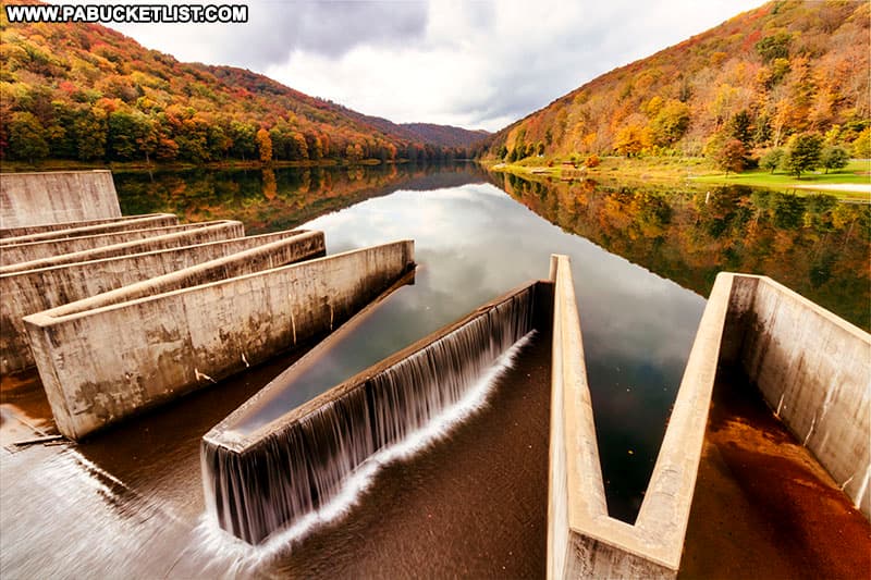
Many of the most popular activities at Lyman Run State Park center around the 45 acre man-made lake at it’s heart.
If navigating by GPS, you’ll find the park office at coordinates 41.72418, -77.75663.
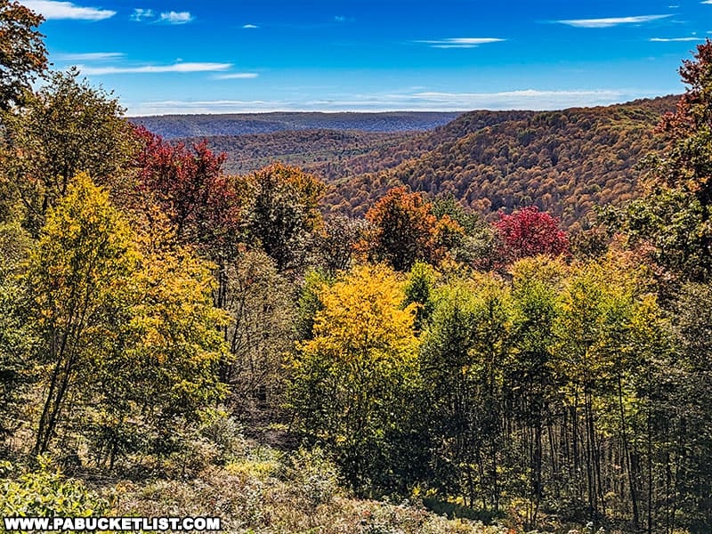
5. Longtoe Vista
Longtoe Vista is a roadside scenic overlook 6.8 miles northwest of Cherry Springs State Park.
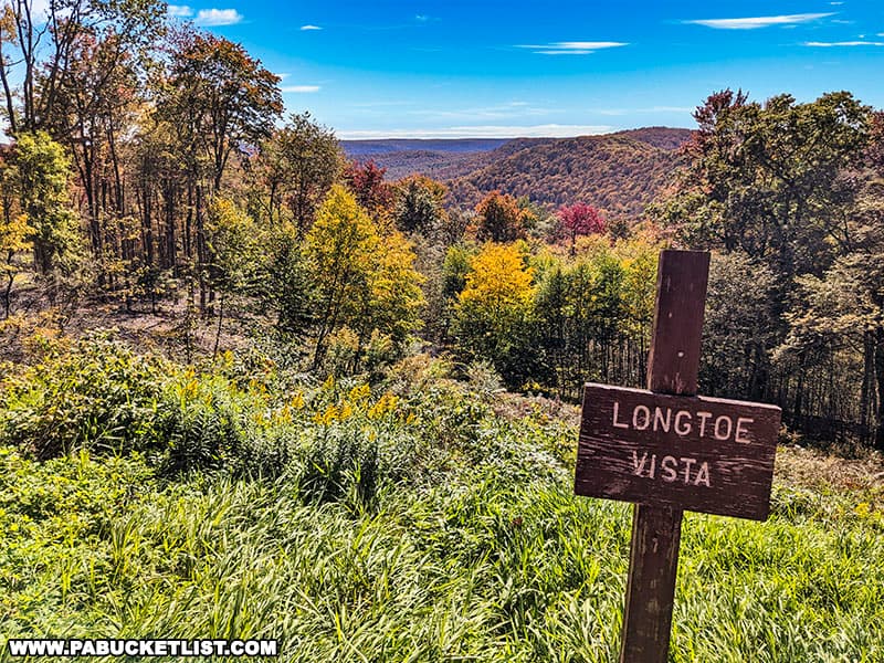
If navigating by GPS, you’ll find Longtoe Vista along Route 44 at coordinates 41.70989, -77.91442.
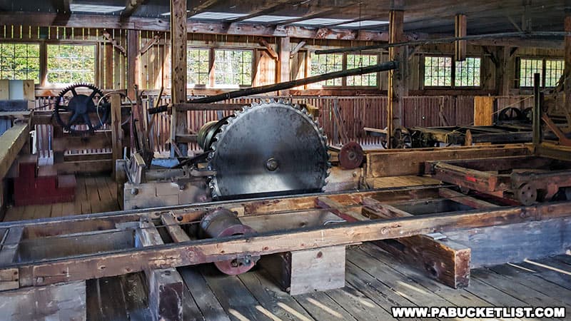
6. The Pennsylvania Lumber Museum
The Pennsylvania Lumber Museum features a beautiful blend of historic artifacts and interactive exhibits related to one of the most important industries in the state in the 19th century.
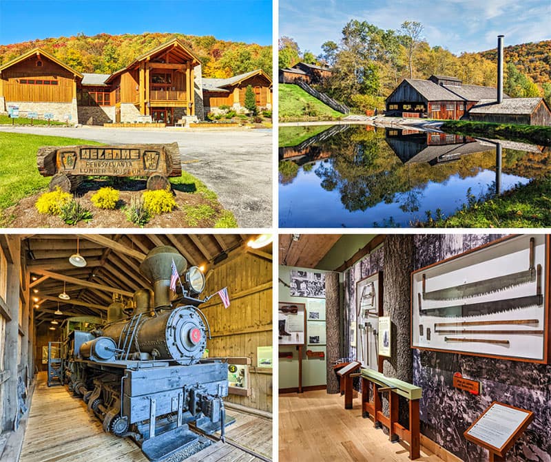
Situated along historic Route 6 in the mountains of Potter County, the Pennsylvania Lumber Museum helps visitors understand the history of the lumbering industry in the Keystone State, from the arrival of the first Europeans to the present day.
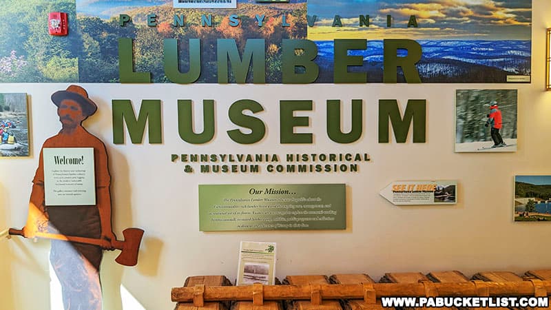
The Pennsylvania Lumber Museum is located 18 miles north of Cherry Springs State Park, at GPS coordinates 41.77927, -77.82623.
7. Denton Hill State Park
Denton Hill State Park is located directly across Route 6 from the aforementioned Pennsylvania Lumber Museum.
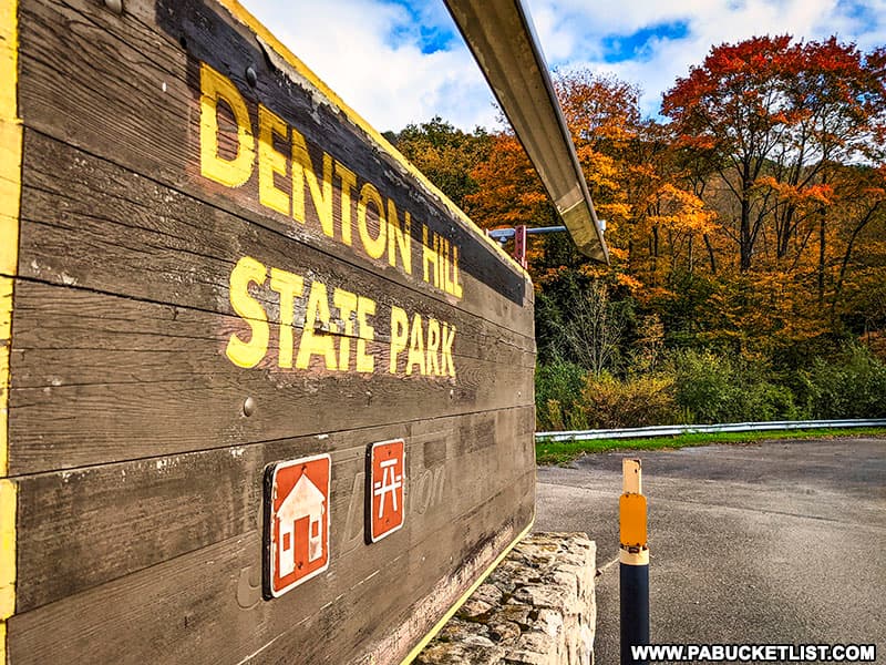
Once home to a popular ski resort, the slopes and lodge now sit abandoned.
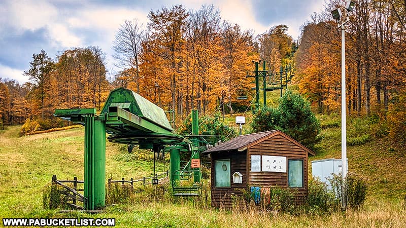
While rumors occasionally swirl that a private company will partner with the state to reopen the resort, as of now it remains an enigmatic and beautifully dystopian spot to explore.
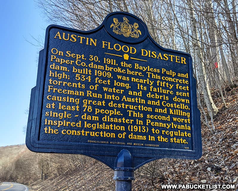
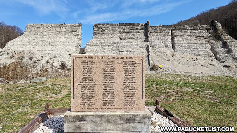
8. Austin Dam Memorial Park
Austin Dam Memorial Park is a beautiful but sobering destination to explore, with trails meandering through the towering ruins of a breached dam that caused the second-worst flood disaster in Pennsylvania history.
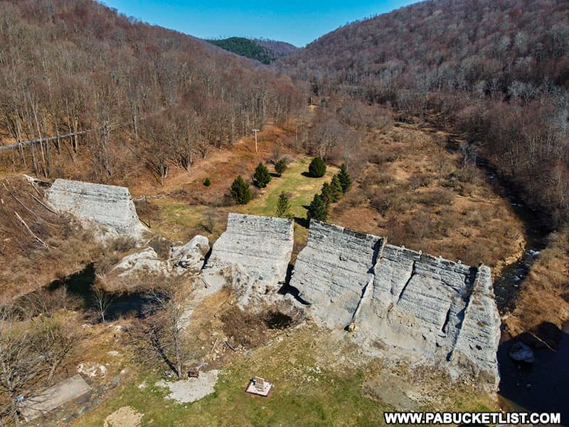
At least 78 people were killed in the flood caused by the dam’s failure, as a wall of water estimated to be 50 feet tall swept down the narrow valley into the small town of Austin a mile downstream.
Austin Dam Memorial Park is located 25 miles west of Cherry Springs State Park, along Route 872 at GPS coordinates 41.65314, -78.08517.
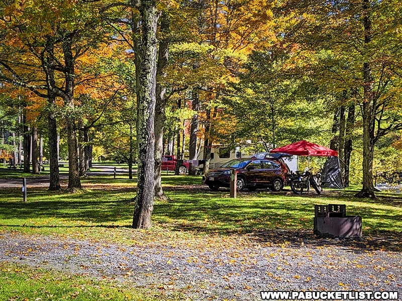
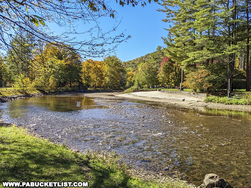
9. Ole Bull State Park
Ole Bull State Park is named in honor of Ole Bornemann Bull, a famous Norwegian violinist who purchased 11,144 acres in Potter County and attempted to develop a Norwegian colony there that he dubbed “New Norway”.
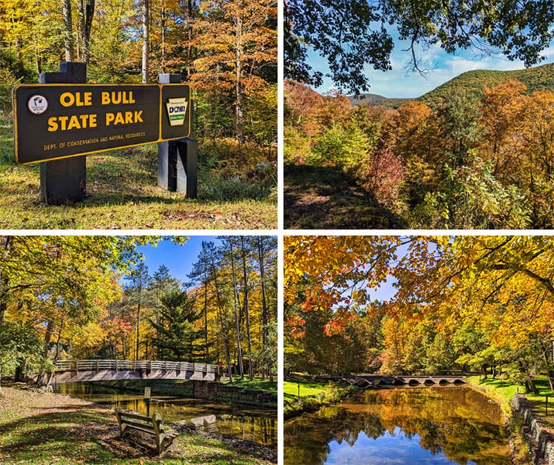
Hiking, fishing, camping, and picnicking are all popular activities at the park.
If navigating by GPS, you’ll find the entrance to Ole Bull State Park 15 miles south of Cherry Springs State Park, along Route 144 at coordinates 41.542358, -77.711085.
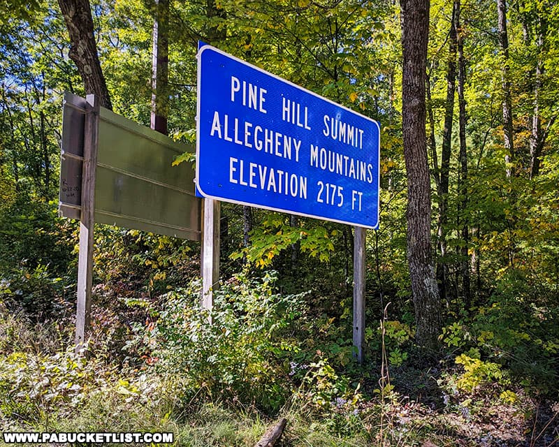
10. Pine Hill Summit Vista
Pine Hill Summit Vista is a roadside overlook and picnic area along Route 44 in Potter County.
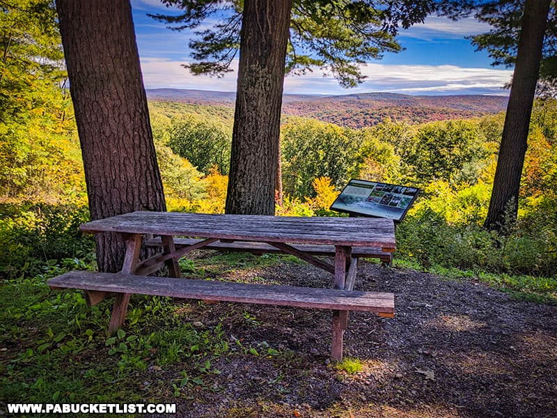
The vista is located 16 miles east of Cherry Springs State Park, and is surrounded by the Susquehannock State Forest.
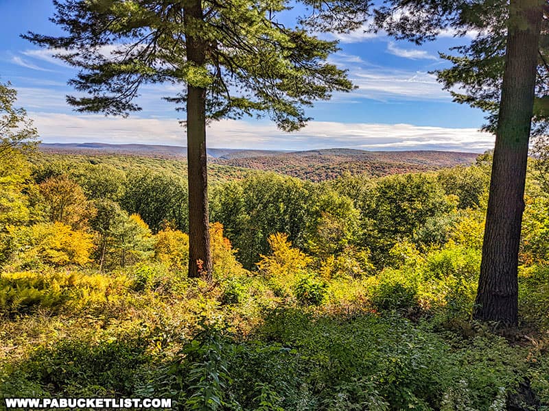
If navigating by GPS, use coordinates 41.55539, -77.64796 to locate Pine Hill Summit Vista.
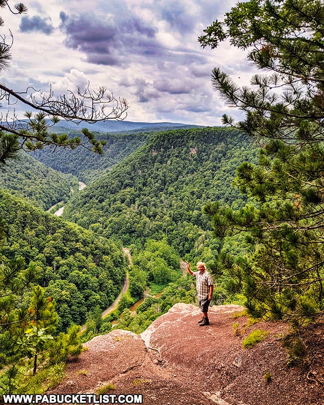
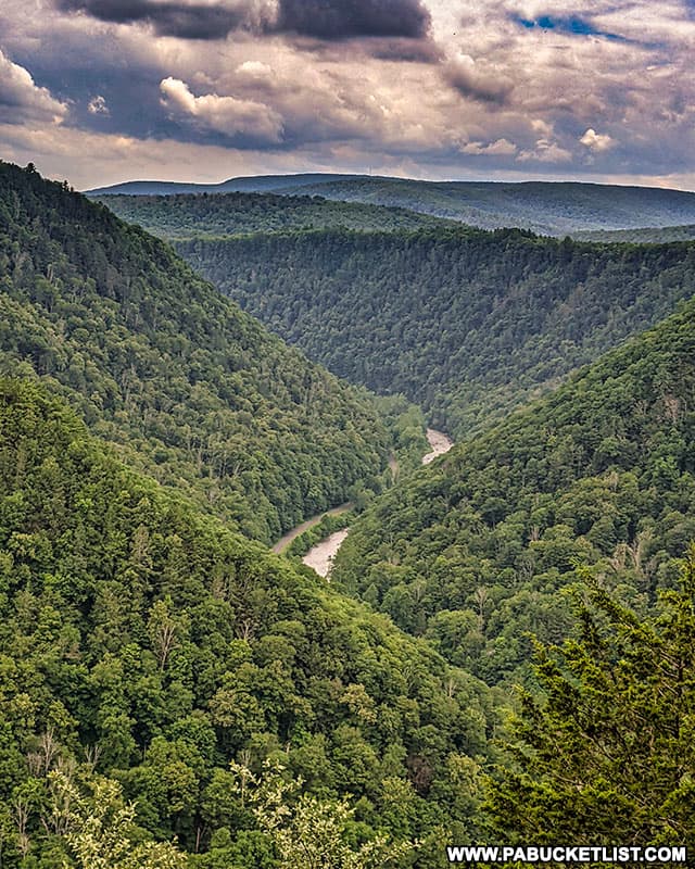
11. Barbour Rock Overlook
Barbour Rock Overlook in Tioga County offers visitors an exceptional view of the natural wonder which is the PA Grand Canyon!
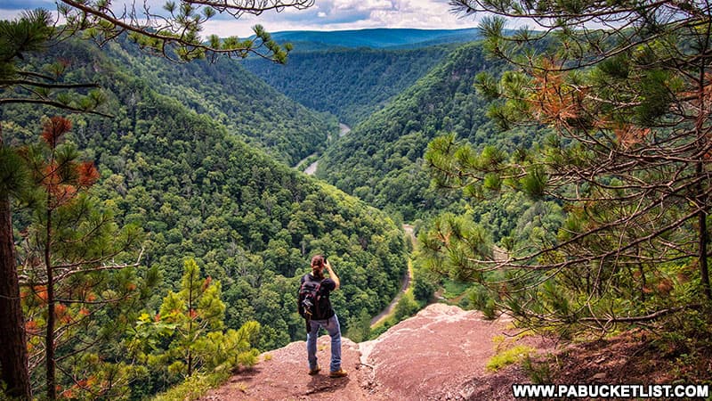
The overlook is accessed via the mostly-flat, 0.7 mile-long Barbour Rock Trail.
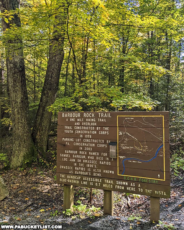
If navigating by GPS, you’ll find the trailhead for the hike to Barbour Rock 26 miles east of Cherry Springs State Park, at coordinates 41.72347, -77.45614.
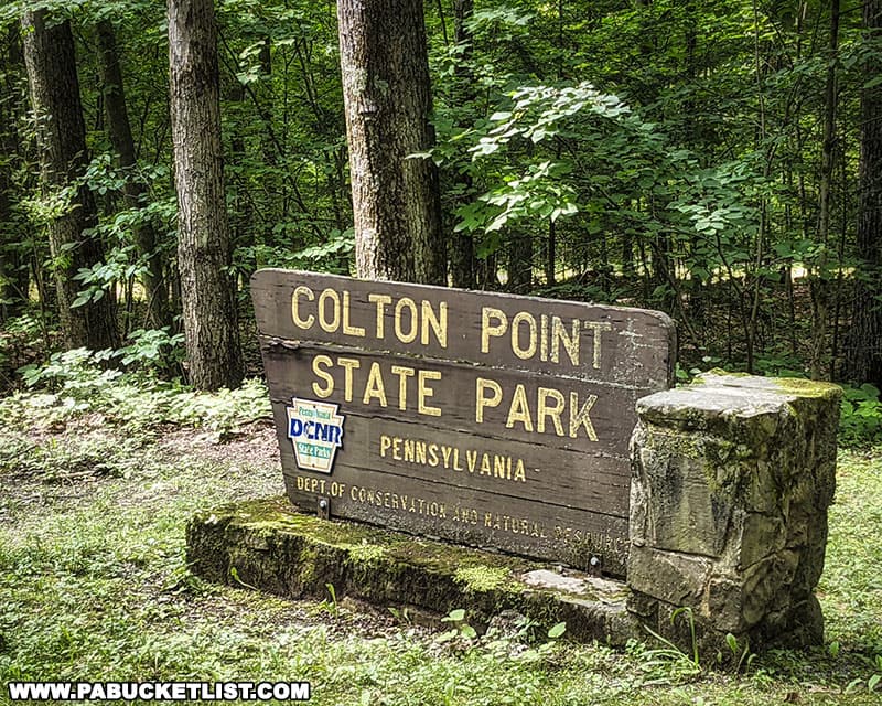
12. Colton Point State Park
Colton Point State Park encompasses 368-acres on the west rim of the PA Grand Canyon in Tioga County.
Colton Point was named in the late 1800s for Henry Colton, a lumberman who supervised the cutting of white pine on this land while working for the Williamsport Lumber Company.
If navigating by GPS, you’ll find Colton Point State Park 28 miles east of Cherry Springs State Park, at coordinates 41.70838, -77.46526.
So there you have it – a dozen excellent daytime destinations to explore near Cherry Springs State Park!
I hope this information adds to your enjoyment of “dark sky capital of Pennsylvania”, and I wish you happy stargazing!
Nearby Attractions
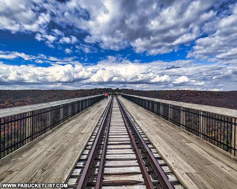
Kinzua Bridge State Park is an hour west of Cherry Springs State Park, and is home to what was once the longest and tallest railway bridge in the entire world – The Kinzua Viaduct.
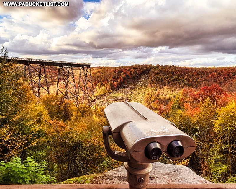
Partially destroyed by a tornado in 2003, the remaining 600 feet of the bridge was reborn as the Kinzua Skywalk in 2011.
Historic Wellsboro is located 45 minutes east of Cherry Springs State Park, and is home to many scenic roadside attractions.
Sinnemahoning State Park is located 30 minutes south of Cherry Springs State Park, and encompasses 1,910 acres of magnificent scenery and outstanding wildlife habitat on both sides of First Fork Sinnemahoning Creek.
Did you enjoy this article?
If so, be sure to like and follow PA Bucket List on Facebook, Instagram, and/or Pinterest to learn more about the best things to see and do in Pennsylvania!
Click on any of the icons below to get connected to PA Bucket List on social media.