
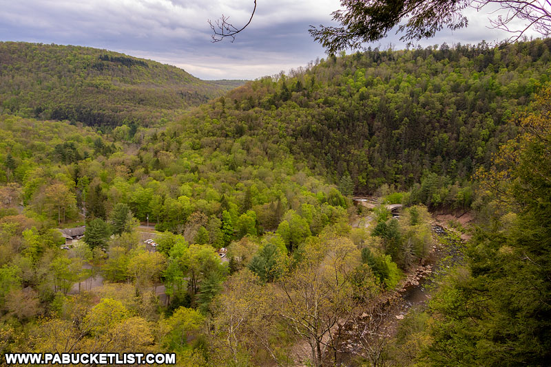
Middle Branch Falls is a pair of impressive waterfalls along Camels Road in the Loyalsock State Forest.
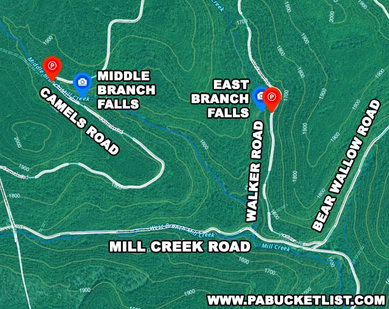
Located 5 miles east of Hillsgrove in Sullivan County, Middle Branch Falls is a 5-10 minute hike from a parking area located at GPS coordinates 41.49313, -76.77249, right next to the bridge along Camels Road over the Middle Branch of Mill Creek.

The falls themselves are just a 5-10 minute hike downstream from the bridge.
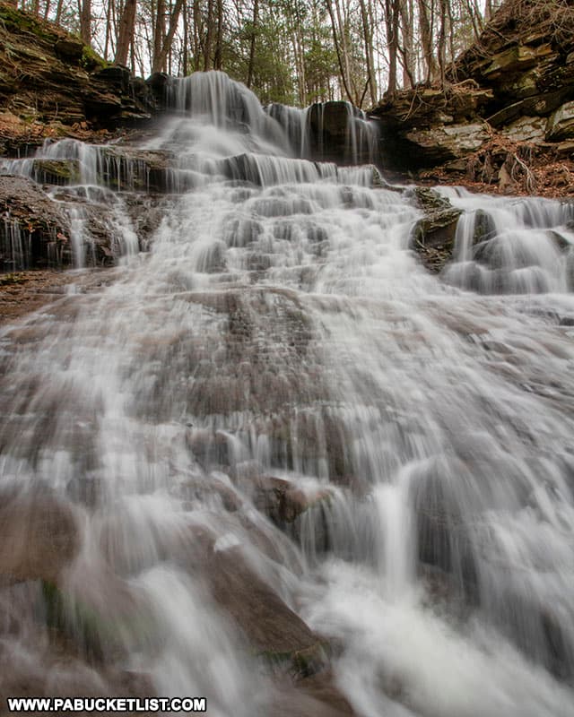
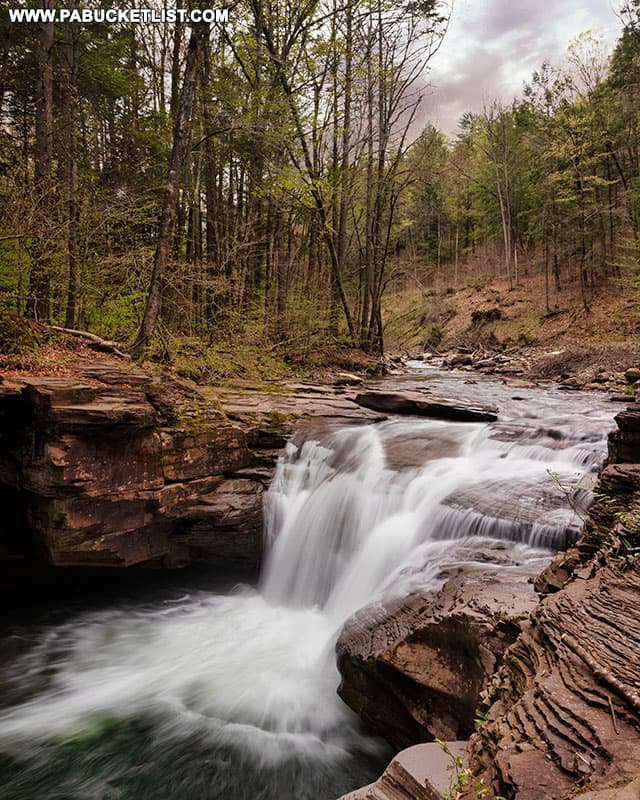
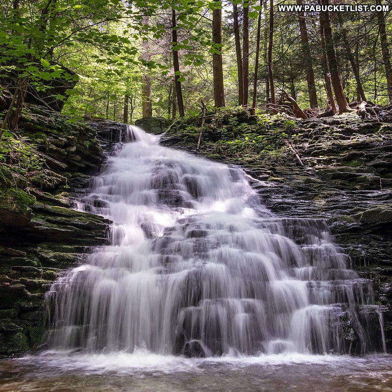
Upper Middle Branch Falls
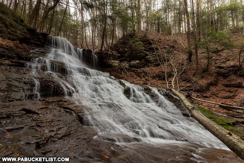
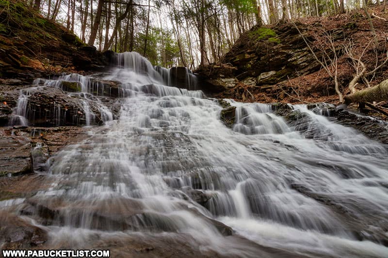
Upper Middle Branch Falls is a staircase-like waterfall that spills into a large copper-colored pool below.
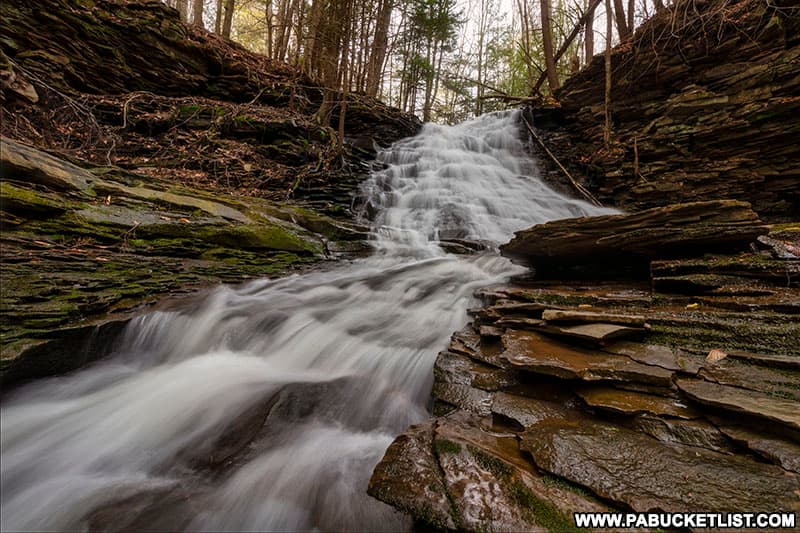
The layered rock formations surrounding Upper Middle Branch Falls are equally interesting.
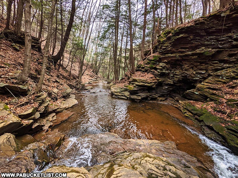
Standing with your back to Upper Middle Branch Falls, you can look out over the rocks forming the top of Lower Middle Branch Falls.
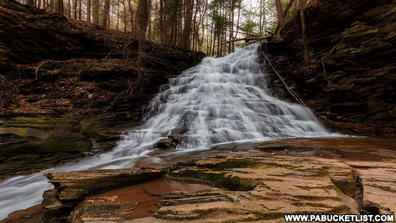
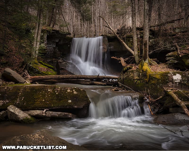
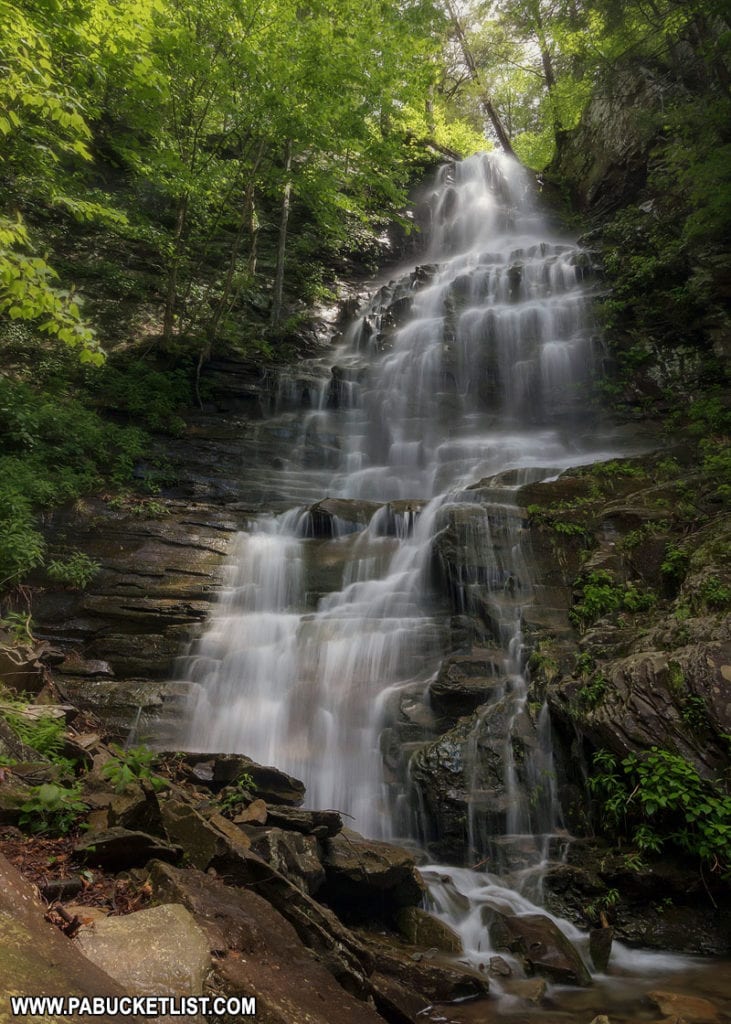
Lower Middle Branch Falls
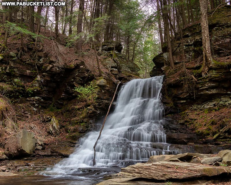
Lower Middle Branch Falls is almost twice as tall as the upper falls.
As of May 2021, a large tree is laying across the bottom of Lower Middle Branch Falls.
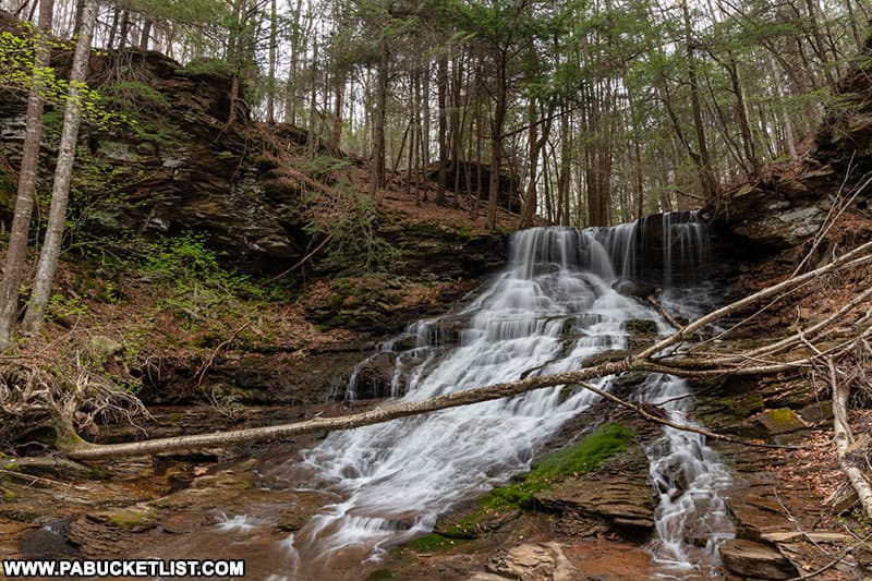
That means if you want to get an unobstructed view, you’ve got to get up close to Lower Middle Branch Falls, somewhere in the streambed and in front of the tree.
The view from up close is fantastic, but use an abundance of caution as the rocks are quite slippery.
Together, the one-two punch of Upper and Lower Middle Branch Falls makes this a rewarding spot to visit while exploring the Loyalsock State Forest.
If the photos don’t move you to the same conclusion, then check out this video!
Nearby Attractions
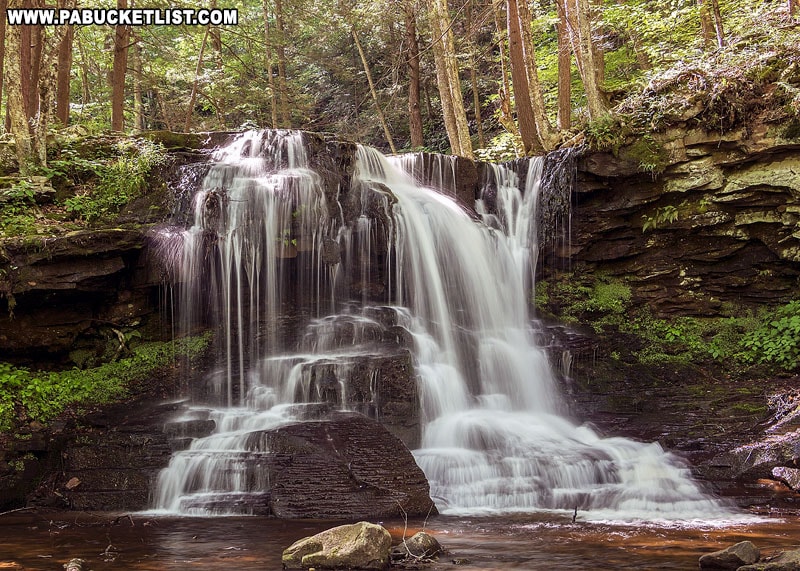
East Branch Falls is located just a few minutes drive away, right along Walker Road in the Loyalsock State Forest.
Emerald Falls is a picturesque 15 foot-tall waterfall in the Sullivan County portion of the Loyalsock State Forest.
Mill Creek Falls is a photogenic 12-foot tall waterfall located just off of Mill Creek Road near Hillsgrove.
Dry Run Falls is another excellent roadside waterfall, located just east of Hillsgrove in the Loyalsock State Forest.
Angel Falls is located close by as well, and is one of the tallest waterfalls in the Loyalsock State Forest.
Ketchum Run Falls is located off of High Knob Road, between Hillsgrove and Worlds End State Park, along the Ketchum Run Trail.
The 20 Best Things to Do at Worlds End State Park will give you the lowdown on the must-see destinations at this popular Sullivan County attraction.
Did you enjoy this article?
If so, be sure to like and follow PA Bucket List on Facebook, Instagram, and/or Pinterest to learn more about the best things to see and do in Pennsylvania!
Click on any of the icons below to get connected to PA Bucket List on social media.