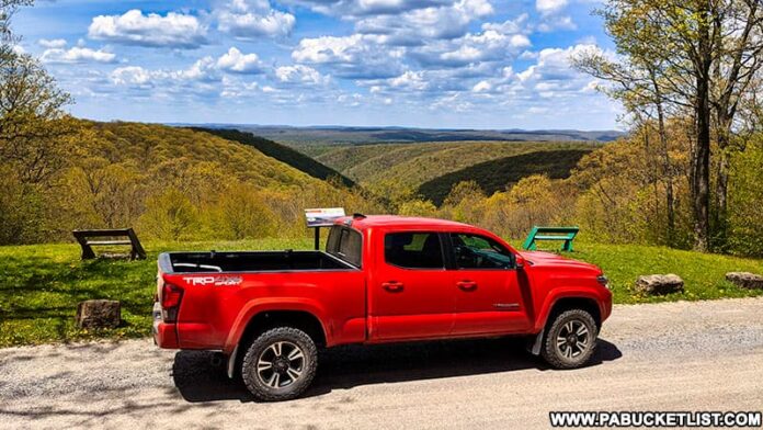
Ridge Road in the Elk State Forest is the most scenic State Forest road in Pennsylvania!
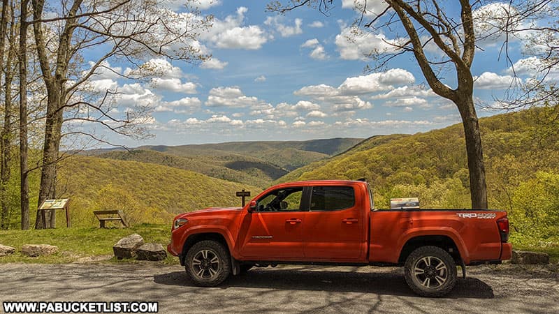
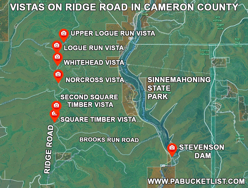
Featuring 6 world-class vistas along a 3 mile stretch of road, it’s like a mini-version of the famous Skyline Drive in Virginia.
And while there are several ways to access the scenic portion of this north-south running road, I’m going to show you what I consider to be the “most civilized” way for the average person to access this stunning stretch of dirt and gravel in the Elk State Forest.
How to Find Ridge Road in the Elk State Forest
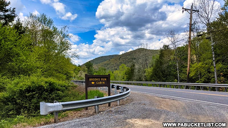
From Route 872, directly across the road from Sinnemahoning State Park’s 40 Maples Day Use Area, turn onto Brooks Run Road.
If you navigate by GPS, use coordinates 41.42066, -78.03105 to find this intersection.
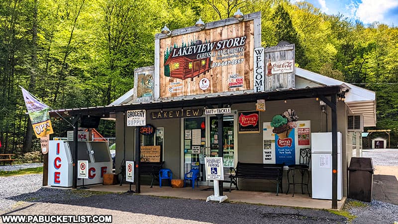
An obvious landmark for this intersection (as well as a great place to buy snacks, gasoline, and ice cream!) is the Lakeview Store, located right next to the intersection.
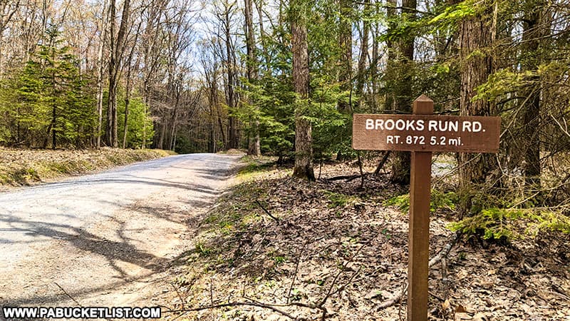
Once on Brooks Run Road (also a dirt/gravel state forest road), procede 5.2 miles.
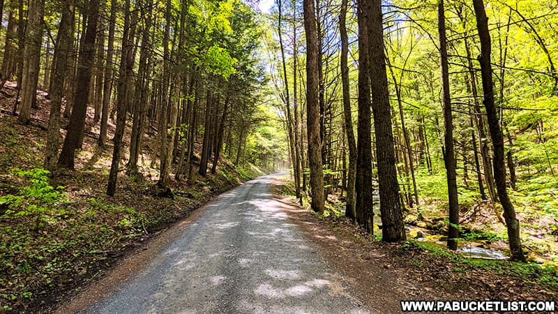
Brooks Run Road is itself a very pretty drive, running parallel to Brooks Run most of the way as the road winds its way uphill towards Ridge Road.
At the crest of the ridge, Brooks Run Road dead-ends into Ridge Road at a T-intersection.
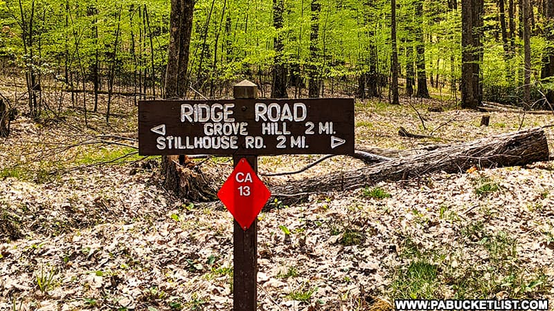
From this intersection, you’ll make a right to reach the scenic overlooks along Ridge Road.
Exploring the Scenic Overlooks Along Ridge Road
I’ll elaborate on each vista along Ridge Road in the order you would encounter them driving north from the intersection with Brooks Run Road.
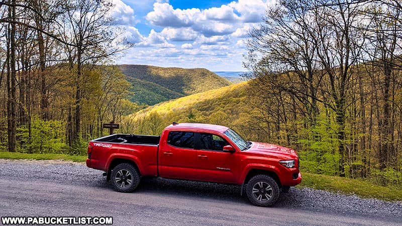
I’m also including a photo from each vista with my truck in the frame, not because I’m sponsored by Toyota (I wish!), but to show you just HOW roadside each of these overlooks truly are.
Square Timber Vista
Square Timber Vista is a west-facing vista that looks out over the Square Timber Wild Area.
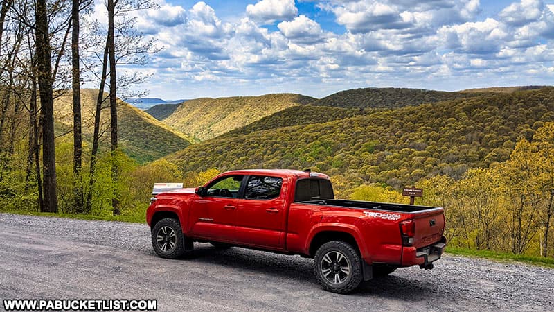
If you are navigating by GPS, use coordinates 41.42762, -78.11508 to find Square Timber Vista.
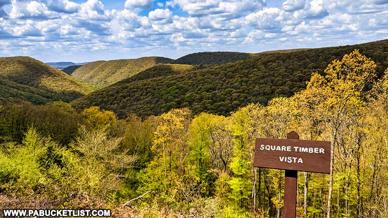
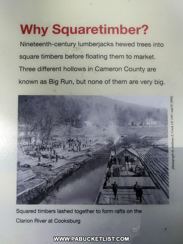
An interpretive sign at the vista lets you know how the name came about.
Second Square Timber Vista
Just a few hundred yards north of the “first” Square Timber Vista, you’ll encounter a “second” Square Timber Vista, also facing west and looking out over the Square Timber Wild Area.
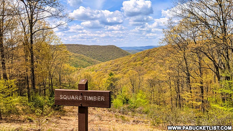
I’m not sure why a different name wasn’t given to this vista to avoid confusion with the first, but suffice to say you’ll see the same signage and a slightly different angle of the forest below from this vantage point.
Use GPS coordinates 41.43250, -78.11355 to navigate to this sweet little spot along Ridge Road.
Norcross Vista
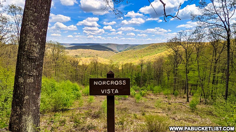
Located at GPS coordinates 41.45137, -78.11212, Norcross Vista is the third roadside view you’ll come to along Ridge Road if headed north from Brooks Run Road.
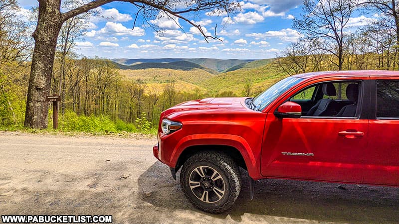
Norcross Vista is an east-facing view, meaning it would be a prime spot to catch a Cameron County sunrise.
Whitehead Pavillion
Conveniently located between the first three and second three vistas along Ridge Road is the Whitehead Pavillion.
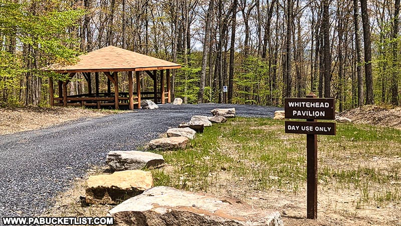
Located at GPS coordinates 41.45738, -78.11130, Whitehead Pavillion an ideal spot for a remote lunch-break.
Whitehead Vista
Whitehead Vista offers an marvelous western view of the Elk State Forest.
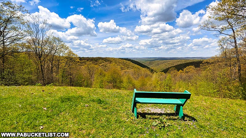
Use GPS coordinates 41.46187, -78.11272 to navigate to Whitehead Vista along Ridge Road in Cameron County.
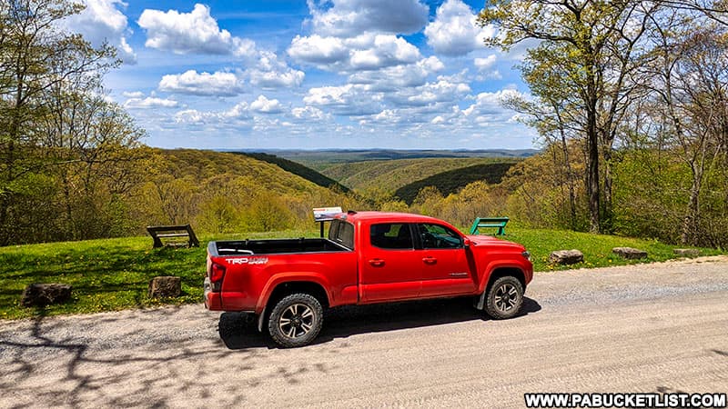
A sign at the vista tells you the origin of the “Whitehead” name.
Logue Run Vista
Logue Run Vista is located along Ridge Road at GPS coordinates 41.46888, -78.11331.
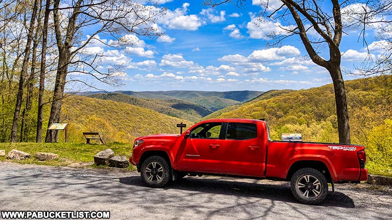
This east-facing view would be another ideal spot to watch the sunrise in the Elk State Forest.
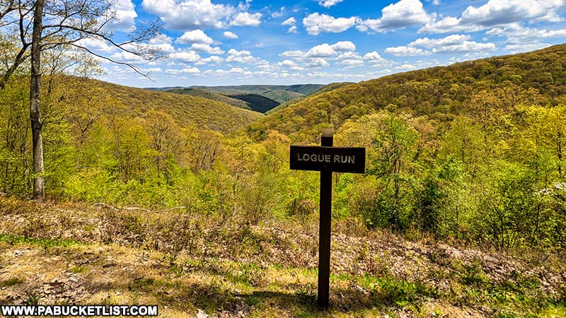
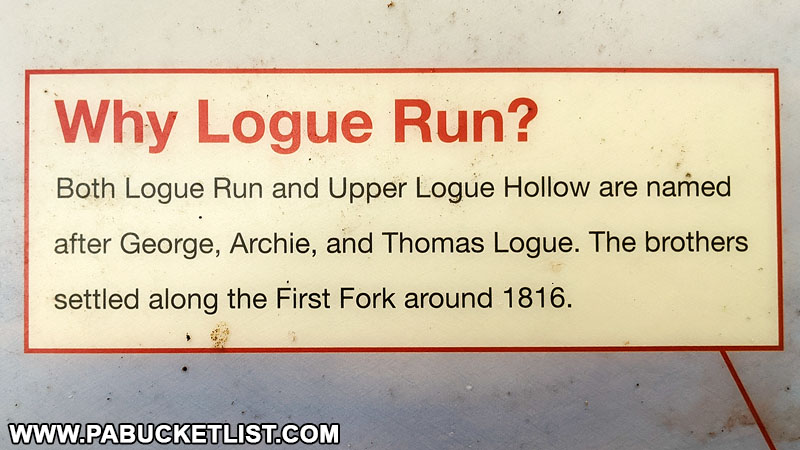
As with several of the other vistas along Ridge Road, a sign at the overlook explains the origin of the “Logue” name.
Upper Logue Run Vista
Upper Logue Run Vista is located a half-mile north of Logue Run Vista along Ridge Road at GPS coordinates 41.47610, -78.10768.
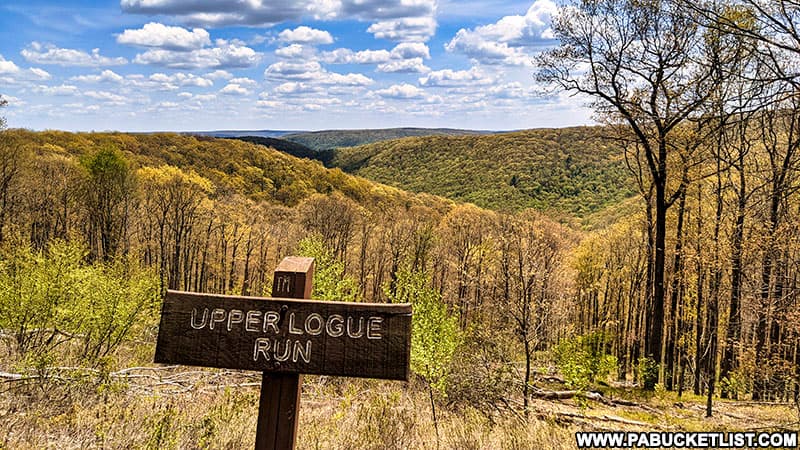
Another bench with an east-facing view awaits you at Upper Logue Run Vista.
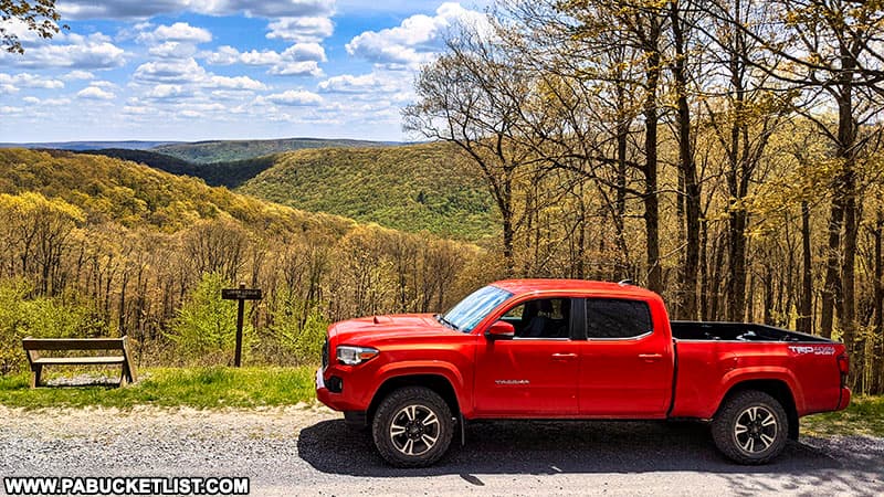
To return to “civilization” after seeing the sixth overlook, you can either continue north for 4 miles and hang a right on Bailey Run Road, or backtrack to Brooks Run Road and hang a left.
In either event, those roads will bring you back out on the state-paved Route 872 near Sinnemahoning State Park.
Nearby Attractions
The 20 Best Scenic Overlooks in PA Elk Country will introduce you to even more vistas in the Elk-Cameron-Clinton county area.

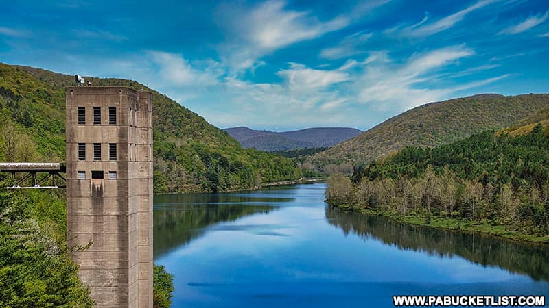
Sinnemahoning State Park encompasses 1,910 acres of magnificent scenery and outstanding wildlife habitat, and spans from Cameron County in the south to Potter County in the north.
Exploring the Elk Country Visitor Center in Benezette tells you all you need to know to visit the unofficial Elk Capitol of Pennsylvania.
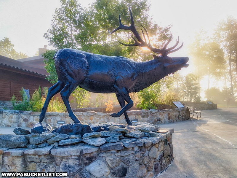
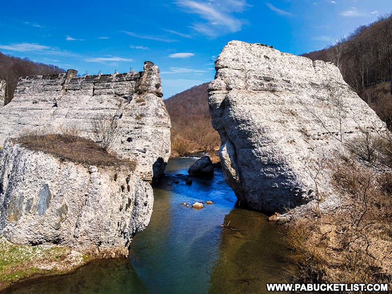
Exploring the Austin Dam Ruins in Potter County will help you understand the story behind the second-deadliest flood in PA history, as well as show you what you can expect to see at the memorial park that exists there now.
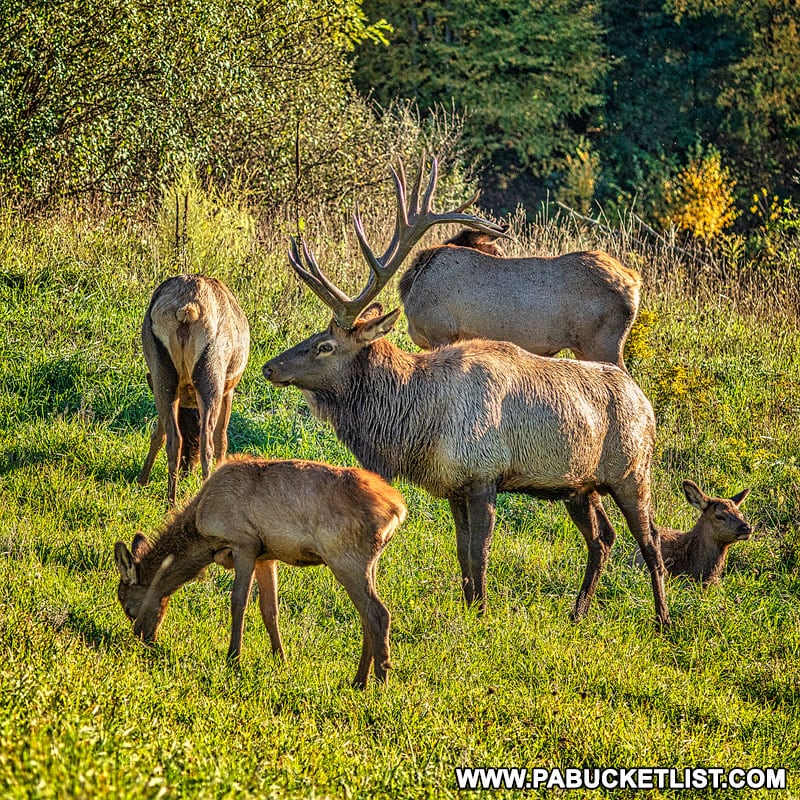
The 15 Best Elk Viewing Destinations in Pennsylvania will show you where to find the region’s most famous permanent residents.
Exploring the Abandoned Bayless Paper Mill in Potter County will shed light on the story of the paper mill that is forever linked to the Austin Dam disaster mentioned above.

Did you enjoy this article?
If so, be sure to like and follow PA Bucket List on Facebook, Instagram, and/or Pinterest to stay up-to-date on my latest write-ups.
Click on any of the icons below to get connected to PA Bucket List on social media!


