
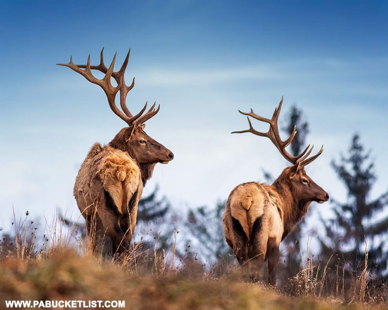
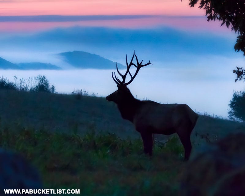
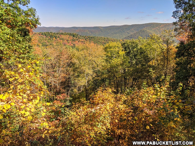
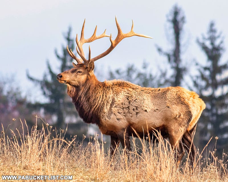
Pennsylvania Elk Country is home to some spectacular scenic overlooks!
And while most people flock to Elk, Cameron, Clinton, and northwestern Centre counties to catch a glimpse of the Pennsylvania elk herd, the mountainous terrain and the expansive views it provides are another remarkable reason enough to visit the PA Wilds, as this region of the state is sometimes referred to.
If you ARE searching for the Pennsylvania elk herd, I’ve got you covered there as well!
Be sure to check out “The 15 Best Elk Viewing Destinations in Pennsylvania” for maps, directions, and a slew of photos from the best spots to see the elk herd in the PA Wilds.
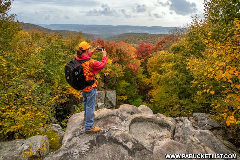
But if you’re looking for something to do during the midday, when the elk are typically less active, follow along as I show you 20 of the best scenic overlooks in Pennsylvania elk country!
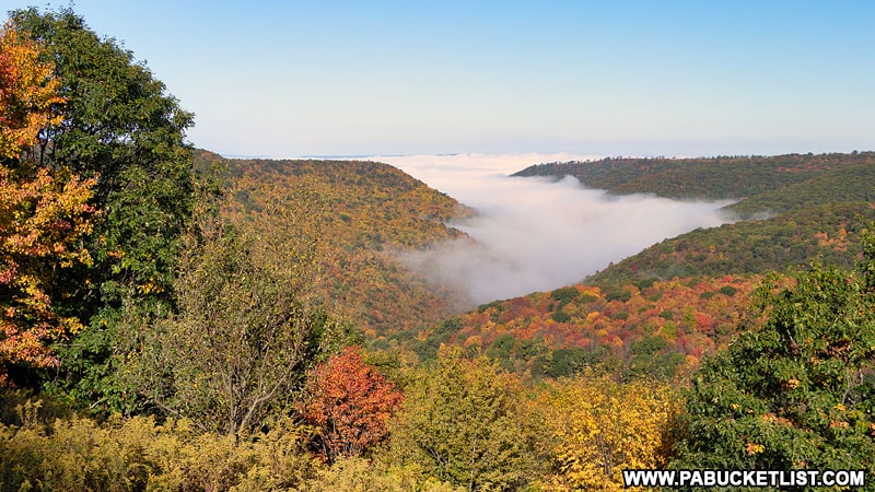
I’ll start in Benezette, the unofficial “Elk Capitol of Pennsylvania”, and work in a clockwise fashion around Elk, Cameron, Clinton, and Centre counties.
As with all of my write-ups, click on the blue text links to read more in-depth articles about the overlook being discussed.
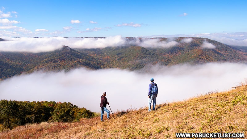
1. Winslow Hill
One of the most popular elk viewing areas in Benezette, Winslow Hill also offers up some extraordinary views, especially as the morning fog burns off.
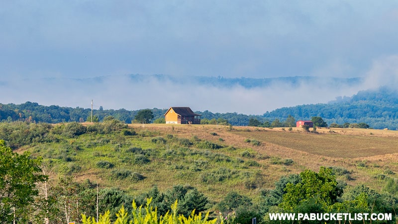
Located just minutes from the Elk Country Visitor Center, Winslow Hill is a roadside gem, even more so when you consider that much of what you now gaze out upon is reclaimed strip mine property.
If you want to use navigation to find Winslow Hill, use GPS coordinates 41.34172, -78.36920.
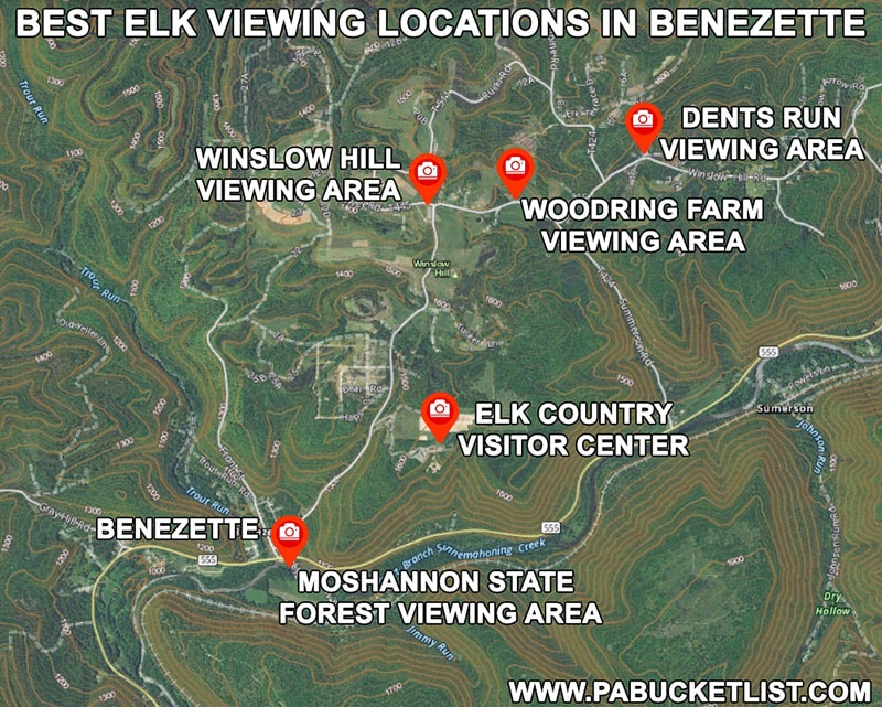
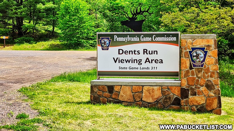
2. Dents Run Elk Viewing Area
Another elk viewing area that doubles as a fine roadside scenic overlook, Dents Run Viewing Area (see map above) offers views for miles and a great chance to see elk in the early morning or late evening.
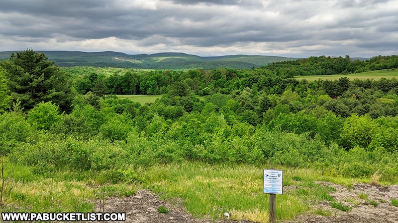
You’ll find Dents Run Viewing Area and vista at GPS coordinates 41.34572, -78.34693, along Winslow Hill Road.
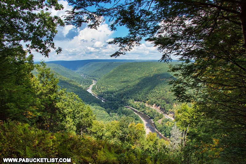
3. Bucktail Overlook
Bucktail Overlook, also locally known as Mason Hill or The Top of the World, sits high above Driftwood, Cameron County, in the Elk State Forest.
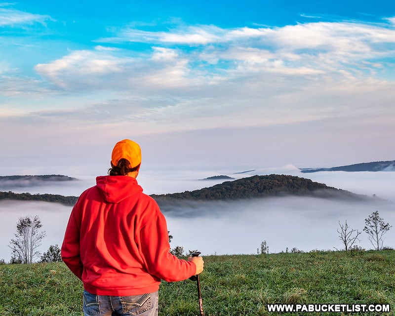
Located off of Mason Hill Road at GPS coordinates 41.34981, -78.15342, Bucktail Overlook is a fantastic spot to watch the morning fog burn off and also spot elk feasting in the food plot planted near the parking area.
A word of caution about Mason Hill Road – it’s rough! Personally I can’t recommend taking anything other than a truck or SUV with decent ground clearance up that road.
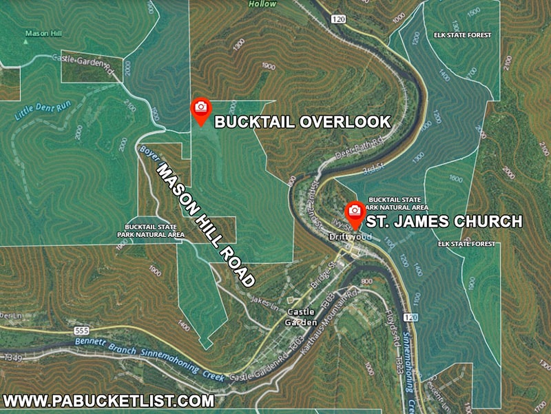
4. Saint James Church
Looking southwest down the valley formed by the Bennet Branch of Sinnemahoning Creek, St. James Church in Driftwood has one of the best parking lot views you’ll find anywhere in PA elk country!
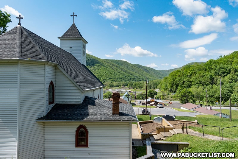
Use GPS coordinates 41.33977, -78.13352 to navigate to this marvelous spot in the heart of Driftwood.
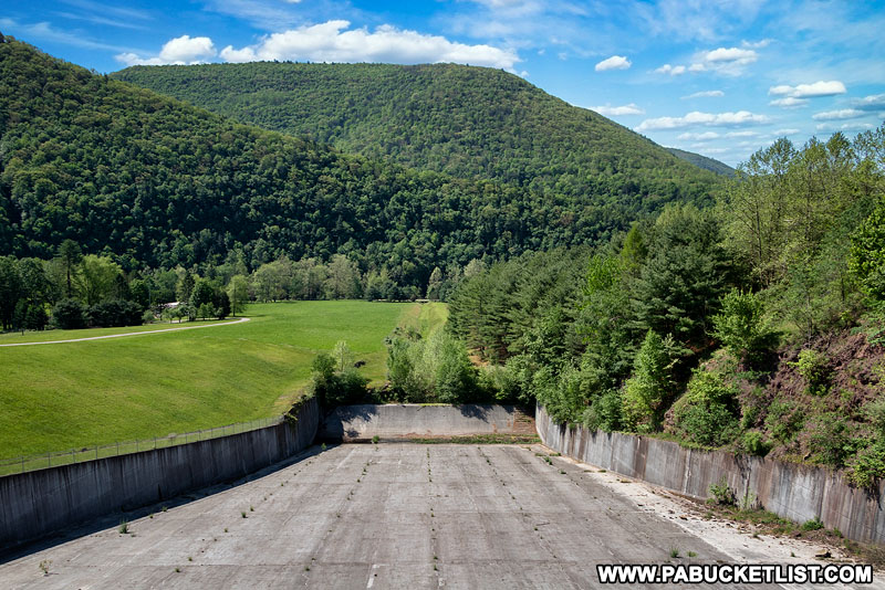
5. Stevenson Dam
Stevenson Dam at Sinnemahoning State Park is located right along Route 872 at GPS coordinates 41.40681, -78.02057.
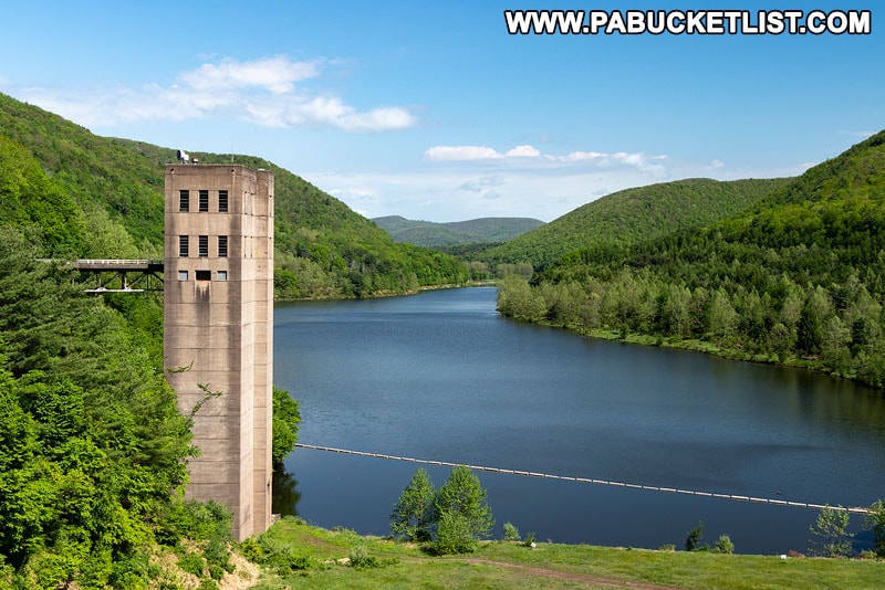
Wonderful views to the north and south along the valley carved out by the First Fork of Sinnemahoning Creek await you at Stevenson Dam, not to mention the chance to see elk grazing near the spillway.
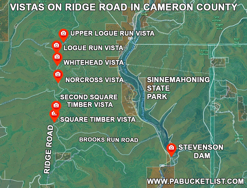
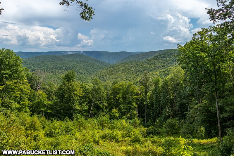
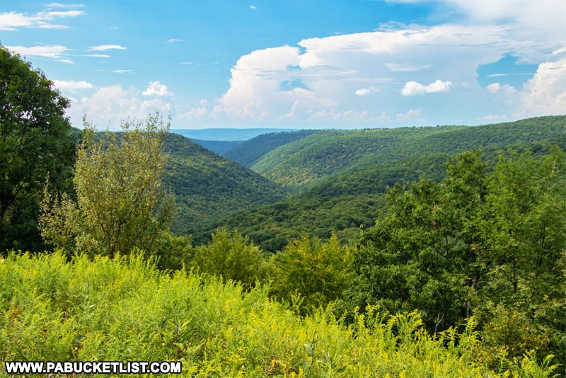
6. Square Timber Vista
Square Timber Vista is one of six breathtaking vistas along a 3.5 mile stretch of Ridge Road in Cameron County.
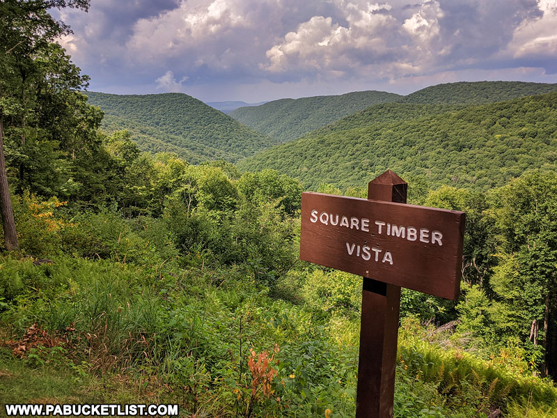
Most easily accessed via Brooks Run Road near Stevenson Dam and Sinnemahoning State Park, Ridge Road is a state forest road, but certainly drivable in all but very low-clearance vehicles.
The views to the west over the Square Timber Natural Area are absolutely gorgeous!
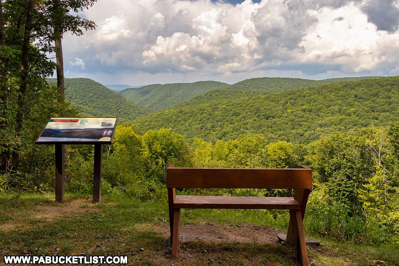
If you are using navigation to find Square Timber Vista, use GPS coordinates 41.42762, -78.11508.
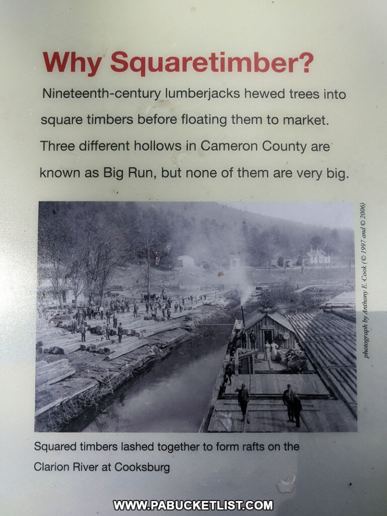
A sign at the vista lets you know where the “Square Timber” name came from.
7. Second Square Timber Vista
A few hundred yards up the road from Square Timber Vista you’ll find Second Square Timber Vista, with a similar view to the first.
Use GPS coordinates 41.43250, -78.11355 to navigate to this sweet little spot along Ridge Road.
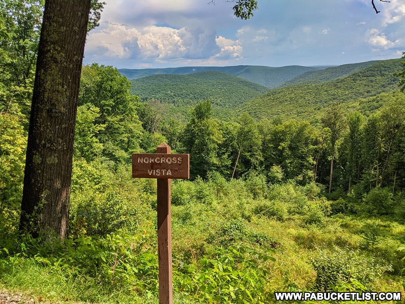
8. Norcross Vista
Located at GPS coordinates 41.45137, -78.11212 along Ridge Road, Norcross Vista is the third roadside view you’ll come to along Ridge Road if headed north from Brooks Run Road.
9. Whitehead Vista
Whitehead Vista offers an marvelous western view of the Elk State Forest.
Use GPS coordinates 41.46187, -78.11272 to navigate to Whitehead Vista along Ridge Road in Cameron County.
A sign at the vista tells you the origin of the “Whitehead” name.

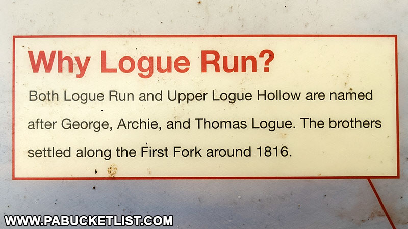
10. Logue Run Vista
Logue Run Vista is located along Ridge Road at GPS coordinates 41.46888, -78.11331.
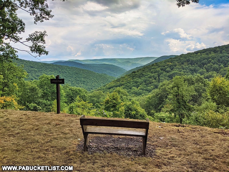
As with several of the other vistas along Ridge Road, a sign at the overlook explains the origin of the “Logue” name.
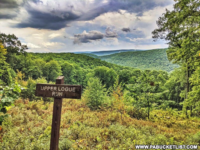
11. Upper Logue Run Vista
Upper Logue Run Vista is located a half-mile north of Logue Run Vista along Ridge Road at GPS coordinates 41.47610, -78.10768.
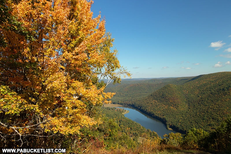
12. Sugar Camp Vista
Moving on to Clinton County, Sugar Camp Vista is located along Crowley Road at GPS coordinates 41.36919, -77.95311
A little less than a mile from Kettle Creek State Park, most people will pass this overlook on their drive to or from the next vista I mention.
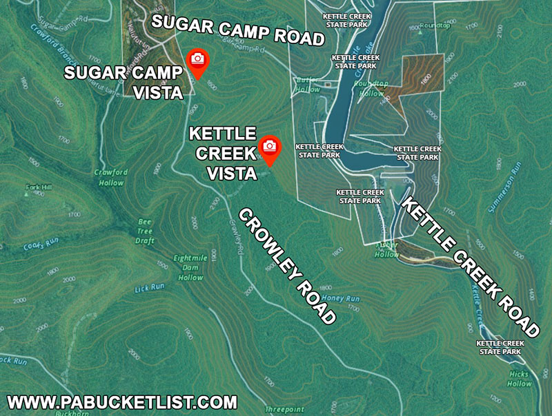
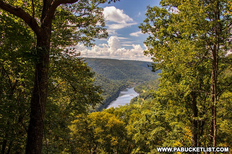
13. Kettle Creek Vista
Located at GPS coordinates 41.35977, -77.94276, Kettle Creek Vista is located off of Crowley Road in the Sproul State Forest, but overlooks Kettle Creek State Park.
14. Keating Mountain Road Vista
Located at GPS coordinates 41.24752, -77.91118 along the goat path that passes for Keating Mountain Road, Keating Mountain Road Vista is certainly worth the effort to reach it, assuming you have a high-clearance vehicle.
15. Sinnemahoning Vista
Sinnemahoning Vista offers a superb view of the Sinnemahoning Creek valley from a roadside vantage point located at GPS coordinates 41.25270, -77.92409 along Keating Mountain Road.
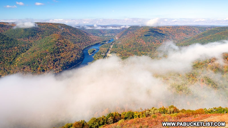
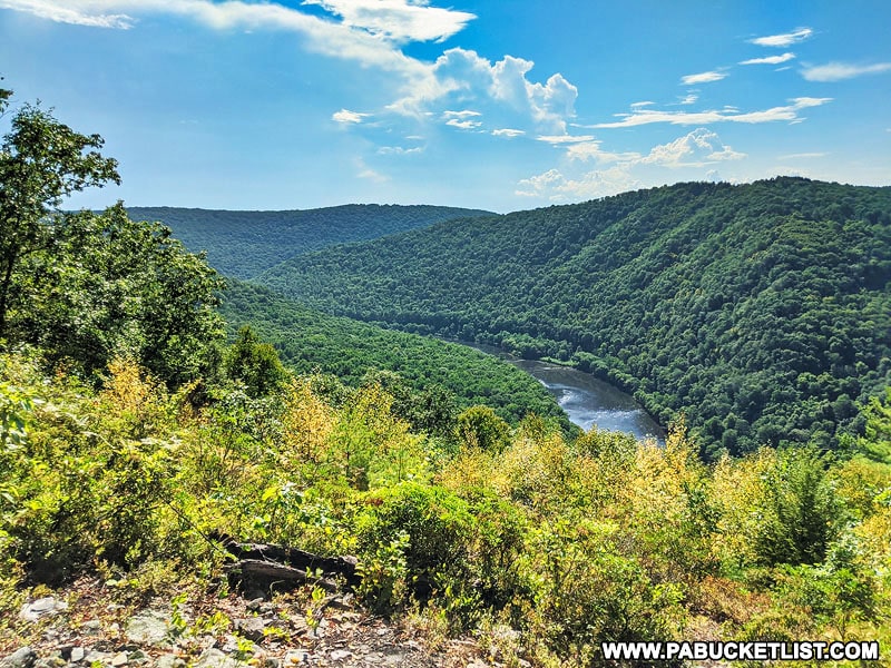
16. Hyner View State Park
A small state park with HUGE views – that’s Hyner View State Park in Clinton County!
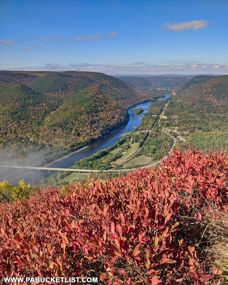
Located at GPS coordinates 41.32646, -77.62348, this 6 acre park offers magical views of the West Branch of the Susquehanna River, especially as the morning valley fog burns off.
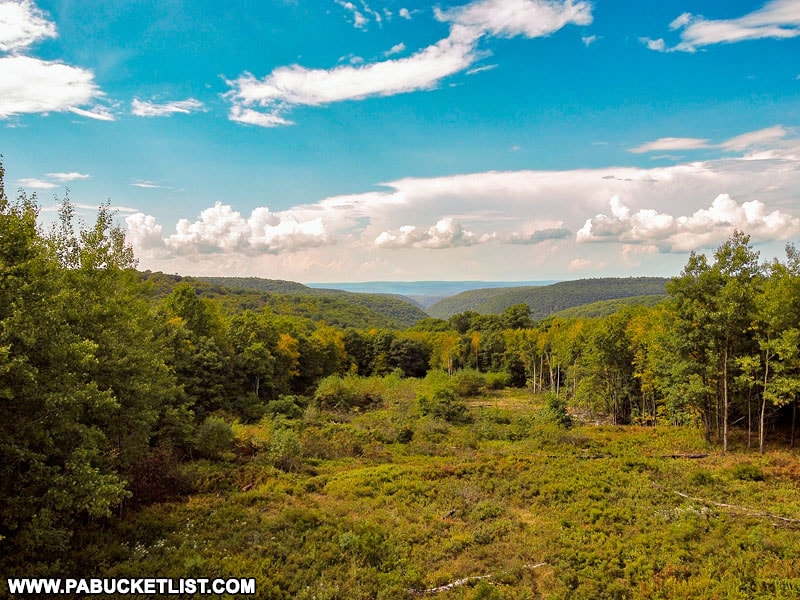
17. Fish Dam Overlook
Located at GPS coordinates 41.23320, -77.78690 along Route 144 in Clinton County, Fish Dam Overlook offers visitors a view of a pair of Wild Areas in the Sproul State Forest.
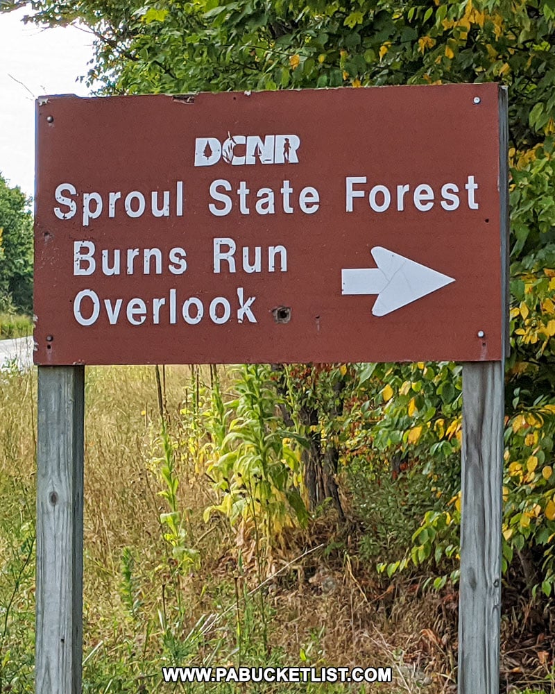
18. Burns Run Overlook
Located right along side Route 144, Burns Run Overlook looks out over the Burns Run Wild Area in the Sproul State Forest.
Use GPS coordinates 41.23288, -77.78899 to navigate to this spot just south of Fish Dam Vista.
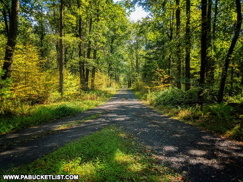
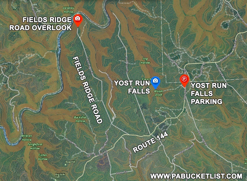
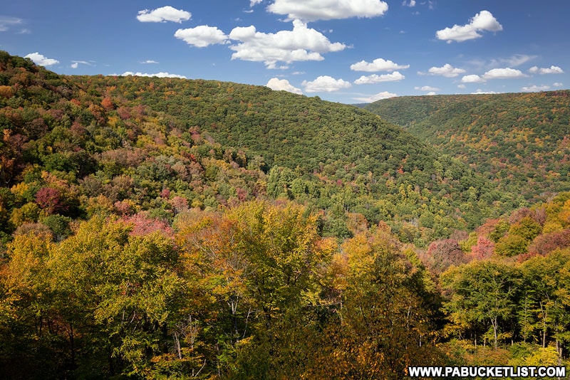
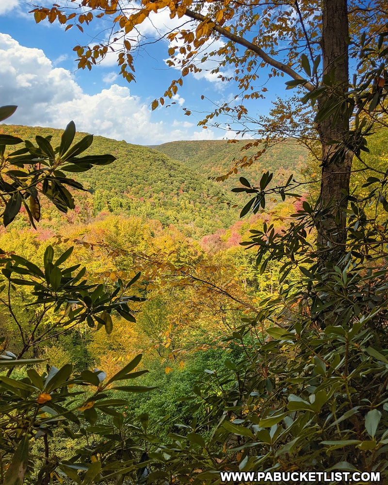
19. Fields Ridge Road
Located along Fields Ridge Road in Centre County, Fields Ridge Road Overlook rises high above the West Branch of the Susquehanna River.
Use GPS coordinates 41.20921, -77.95906 to navigate to this scenic view at the end of a 5 mile-long and relatively smooth state forest road.
Fields Ridge Road Overlook is close to Yost Run Falls, one of the best waterfall hikes in Centre County.
20. Teaberry Loop Trail Vista
Located in the Quehanna Wild Area, Teaberry Loop Trail Vista requires a short (330 yard) hike down a yellow-blazed path to this sensational view of the Paige Run and Red Run Valleys.
Use GPS coordinates 41.26361, -78.25174 to navigate to an unmarked but obvious pull-off along the Quehanna Highway, then follow the trail leading away from the road to the overlook.
So there you have it – 20 of the best roadside (or almost-roadside) scenic overlooks in Pennsylvania Elk Country!
And while it’s the elk that get most of the attention from visitors to this area, now YOU know of some excellent side-trips to take while searching out these noble creatures.
Related Articles
If scenic overlooks are your passion, be sure to check out 50 of the Best Scenic Overlooks in PA for directions to the finest views in all of Pennsylvania!
Nearby Attractions
Looking for more PA Elk Country adventures?
Be sure to check out “The 5 Best Roadside Attractions in the Quehanna Wild Area” for more tips!
Hiking the Fred Woods Trail in Cameron County introduces you to a 4.57 mile-long hike that takes you past two fantastic vistas, as well as one of Pennsylvania’s finest rock formations.
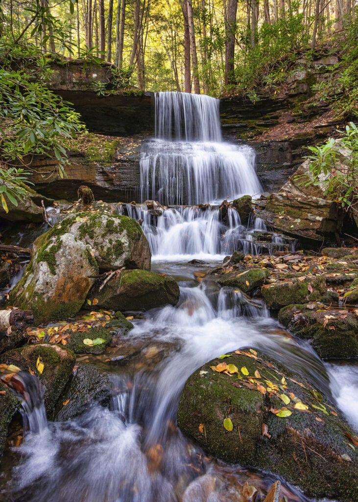
Round Island Run Falls is another PA Elk Country attraction that requires a 2.2 mile round-trip hike to the largest waterfall in the PA Wilds!
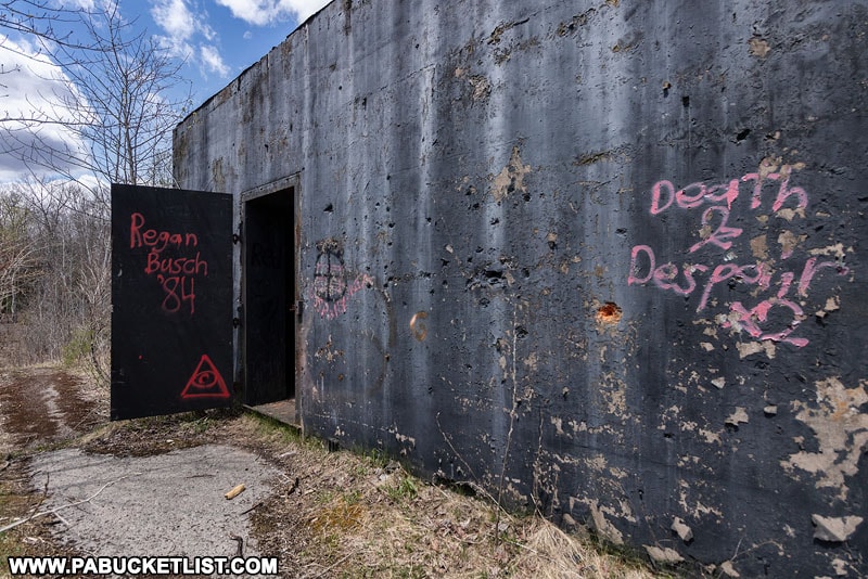
For something totally different, be sure to check out “Exploring the Abandoned Nuclear Jet Engine Bunkers in the Quehanna Wild Area” to see a piece of Cold War history tucked away in a spot you’d probably least expect to see it.
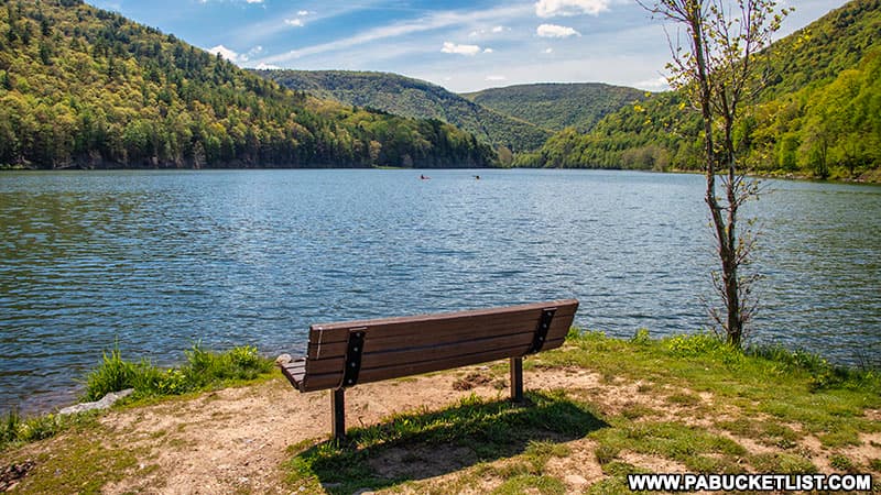
Kettle Creek State Park sia beautifully remote park in Clinton County, especially popular with campers and folks that enjoy fishing.
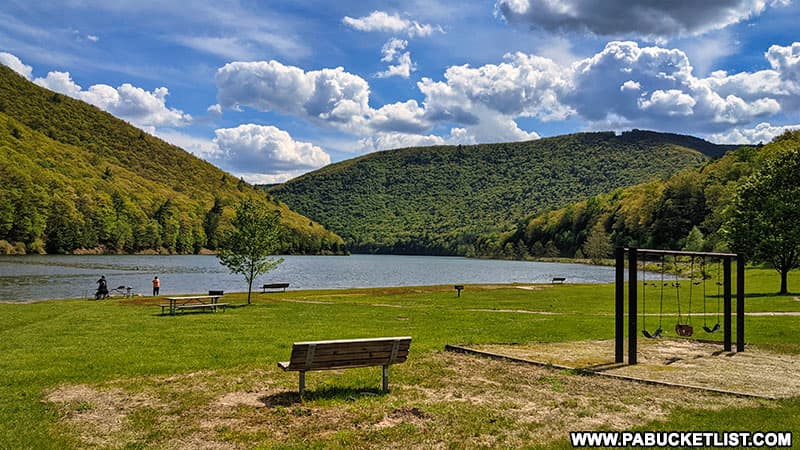
Sinnemahoning State Park lies at the very heart of PA Elk County, spanning parts of Cameron and Potter counties.
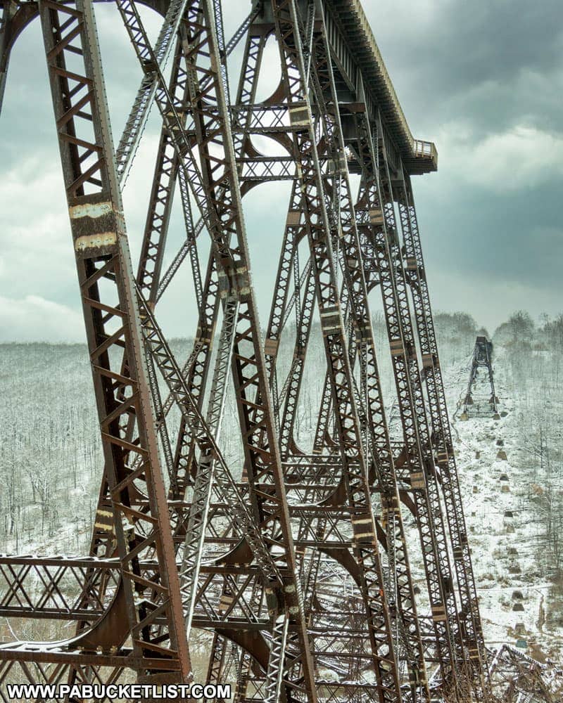
Kinzua Bridge State Park in McKean County is home to what was once the longest and tallest railroad bridge in the world!
Did you enjoy this article?
If so, be sure to like and follow PA Bucket List on Facebook, Instagram, and/or Pinterest to stay up-to-date on my latest write-ups.
Click on any of the icons below to get connected to PA Bucket List on social media!