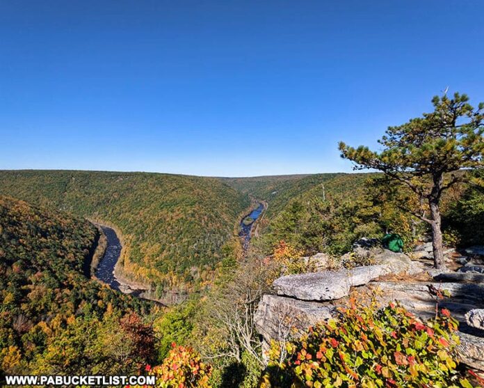
Tank Hollow Overlook in Carbon County offers visitors a stunning view of a bend in the Lehigh River in the western Poconos.
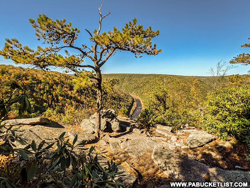
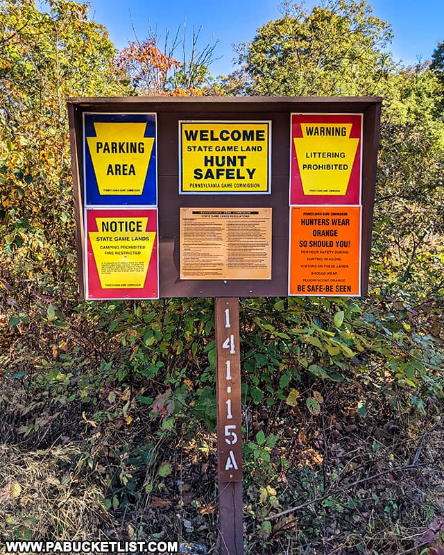
Tank Hollow Overlook is located on State Game Lands 141, and regardless of the time of year, it is prudent to wear some articles of blaze orange clothing when hiking on ANY State Game Lands, including this one.
How to Find Tank Hollow Overlook on SGL 141
How long the hike to Tank Hollow Overlook will be depends on the time of year you visit, as the access road leading to the trailhead may be open or gated, depending on the current hunting season.
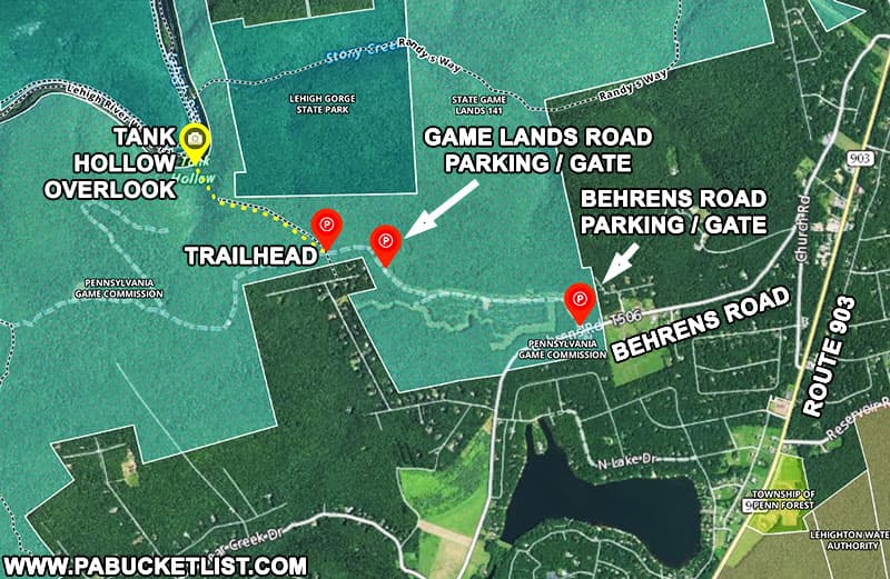
In the BEST CASE SCENARIO, if you visit when the gates are open, you can park right next to the trailhead along the game lands road at GPS coordinates 40.94572, -75.69161.
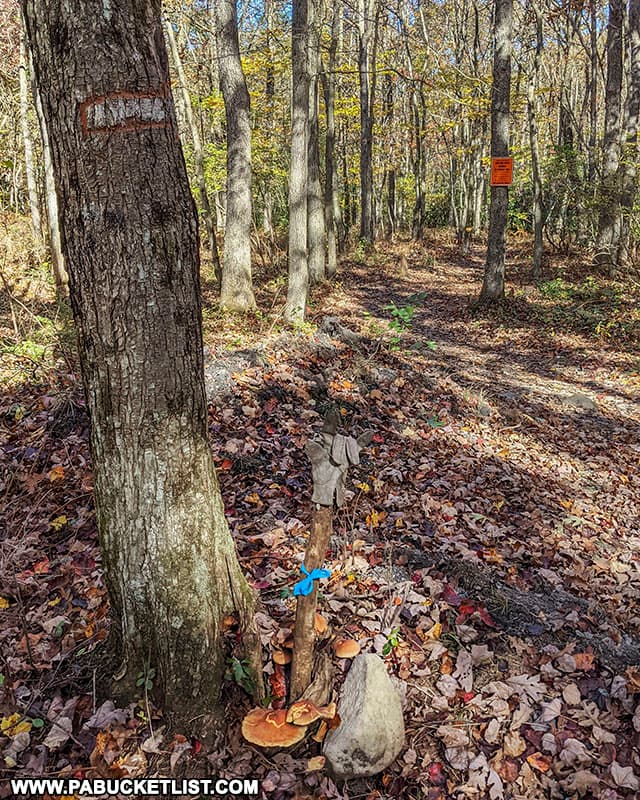
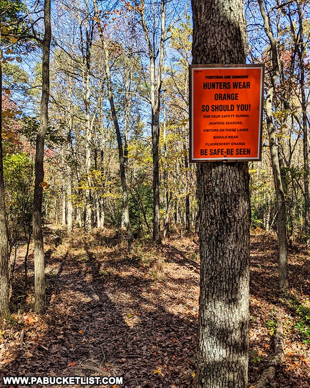
The trailhead is marked by a faded white arrow carved into a tree, and more prominently by a State Game Lands sign reminding you to wear blaze orange when hiking here.
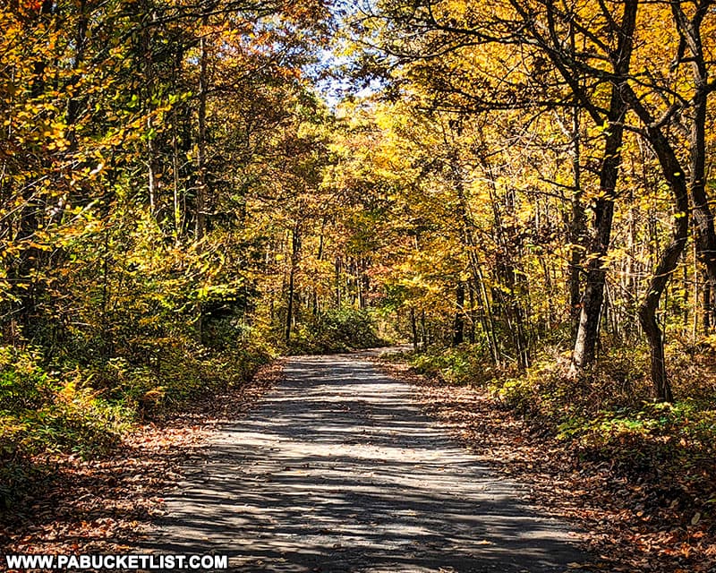
If you visit when the gates are closed, you’ll have to park at the Behrens Road parking area, which can be found at GPS coordinates 40.94148, -75.67255, and hike in the road to the trailhead.
This adds an additional 1 mile each way to the hike, so be sure to factor that into your preparations.
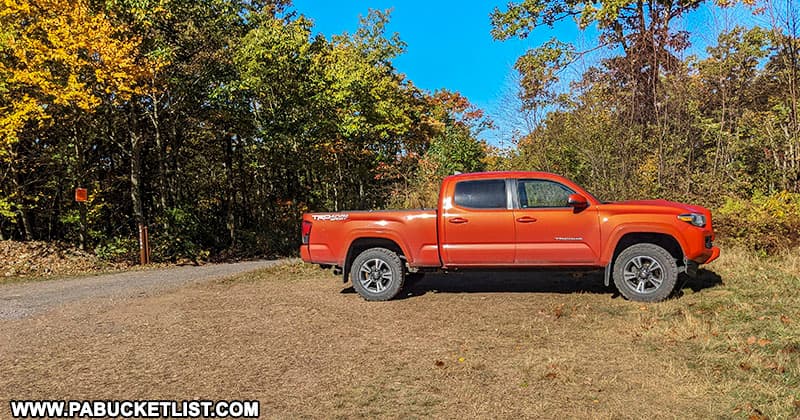
There is also another parking area located near a second gate along the game lands road, roughly 0.3 miles southeast of the trailhead at GPS coordinates 40.94478, -75.68715.
Hiking to Tank Hollow Overlook
The Tank Hollow Trail itself is a relatively flat, well-worn (though unblazed) 0.6 mile path through mostly open woods.
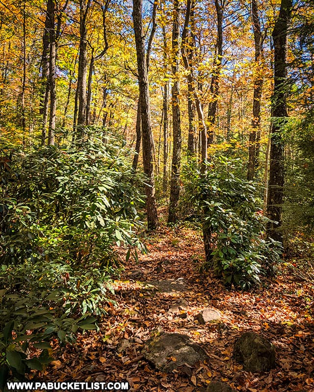
The last hundred yards or so of the trail before you reach the overlook passes through a laurel thicket, but even here the trail is still easy to navigate.
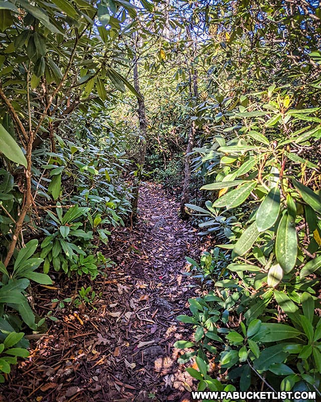
You’ll emerge onto the rocky outcropping which is Tank Hollow Overlook at GPS coordinates 40.95082, -75.70206.

The Views from Tank Hollow Overlook
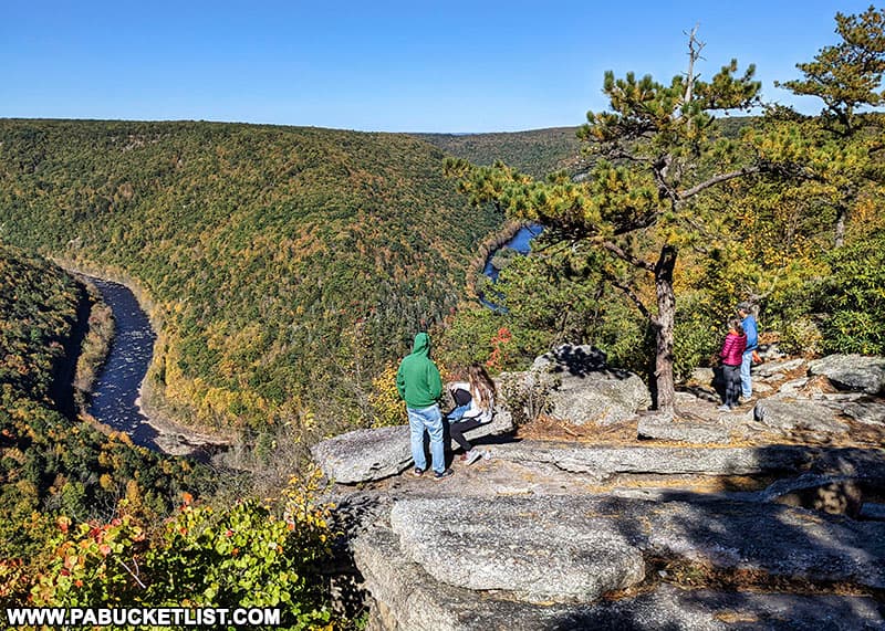
The views immediately in front of you at Tank Hollow Overlook are of the Lehigh River below and Lehigh Gorge State Park behind that.
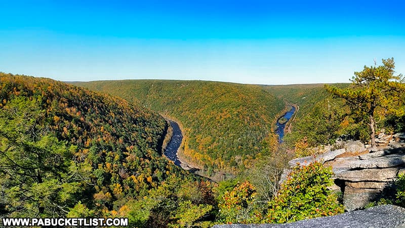
Several short paths lead to other partial views of the river.
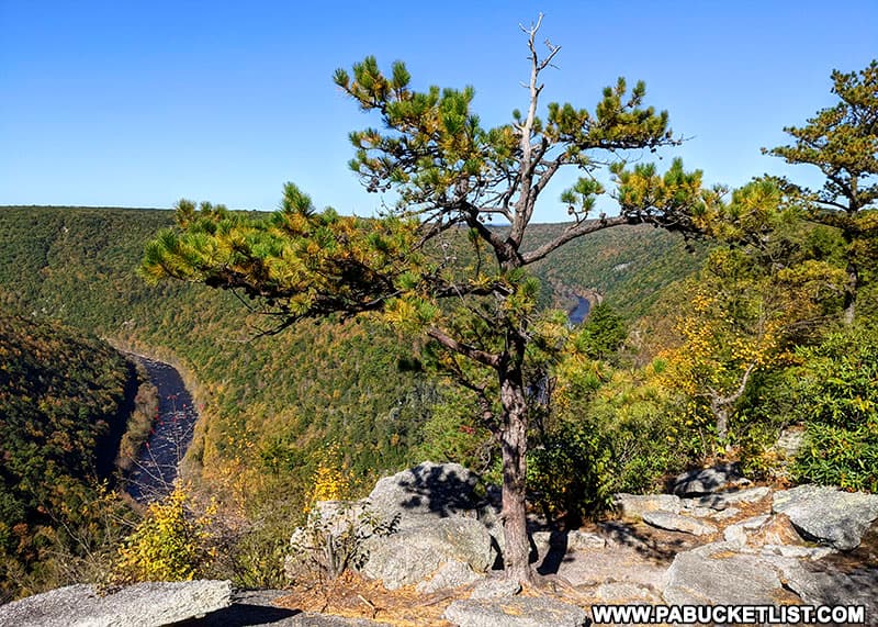
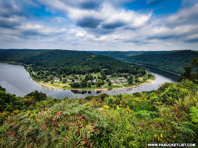
No matter where you view it from, the scene in front of you is truly outstanding, reminiscent of Brady’s Bend Overlook in western PA.
Tank Hollow Overlook is an extremely popular spot, due to the relative ease of the hike and the exceptional beauty of the vista, so don’t be surprised if you have plenty of company along the way.
Nearby Attractions
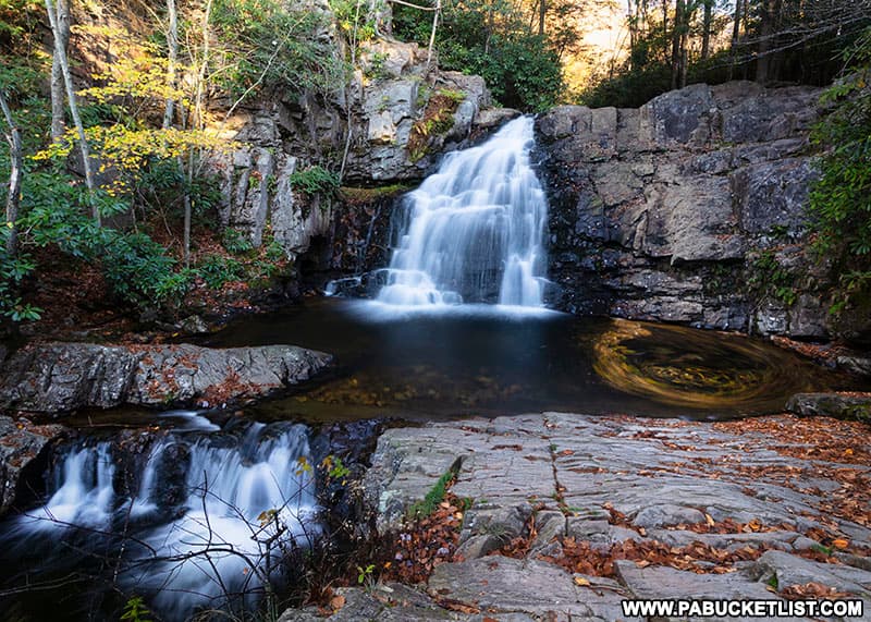
Hawk Falls is a 10-15 minute drive from the Tank Hollow Overlook trailhead, and is another super-popular destination due to ease of access and sheer natural beauty.
Hickory Run State Park is home to more than 40 miles of hiking trails, picturesque water features, unique natural areas, and spectacular scenic overlooks.

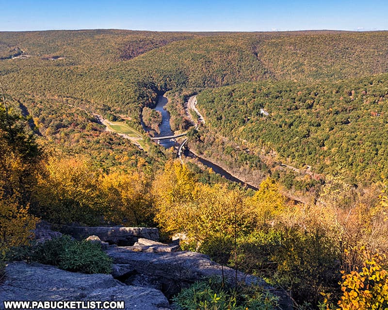
The Mount Pisgah Trail in Jim Thorpe is a steep but easy-to-follow trail leading up Mount Pisgah to a pair of fantastic Carbon County vistas.
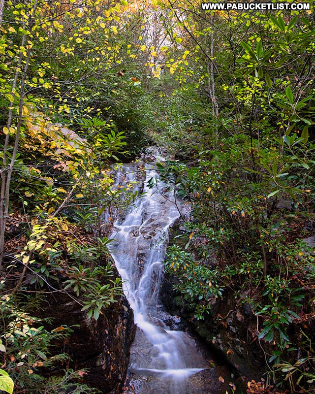
Buttermilk Falls at Lehigh Gorge State Park is a cascading waterfall along the Lehigh Gorge Rail Trail, 1/4 mile north of the Rockport Access to the park and rail trail.
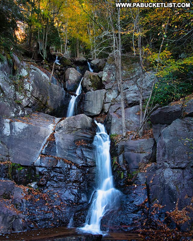
Luke’s Falls at Lehigh Gorge State Park is an easy 1/4 mile hike/bike ride south of the Rockport Access along the Lehigh Gorge Rail Trail.
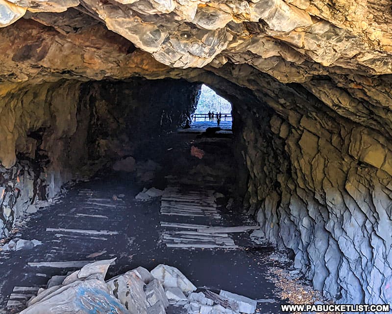
Turn Hole Tunnel is a 500 foot-long abandoned railroad tunnel located near the Glen Onoko access to Lehigh Gorge State Park.
The Lehigh Gorge Scenic Railway in nearby Jim Thorpe is consistently ranked as one of the best sightseeing trains in the northeastern United States.

Did you enjoy this article?
If so, be sure to like and follow PA Bucket List on Facebook, Instagram, and/or Pinterest to learn more about the best things to see and do in Pennsylvania!
Click on any of the icons below to get connected to PA Bucket List on social media.


