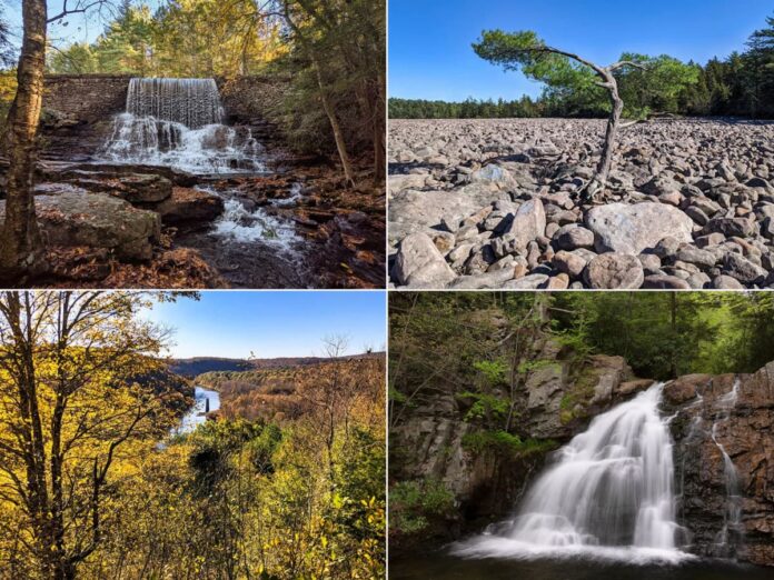
Hickory Run State Park is a magnificent 15,990-acre recreational area in the western foothills of the Pocono Mountains.
Featuring more than 40 miles of hiking trails, picturesque waterfalls, unique natural areas, and spectacular scenic overlooks, Hickory Run State Park has a LOT to offer!
Rather than try to describe EVERYTHING to see there, I’m going to describe the highlights of what you can comfortably see during a single day trip to Hickory Run State Park.
I know these sights can all be seen during a single day trip, because I recently did it!
Refer to the map below as I describe 7 must-see attractions at Hickory Run State Park, with GPS coordinates provided for each attractions.
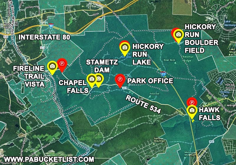
7 Must-See Attractions at Hickory Run State Park
1. The Visitor Center at Hickory Run State Park
I would highly recommend stopping at the Visitor Center first when beginning your day trip to Hickory Run State Park.
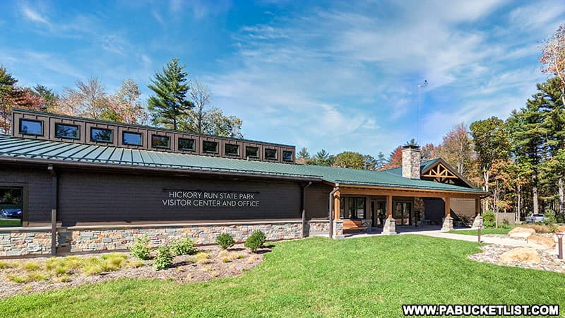
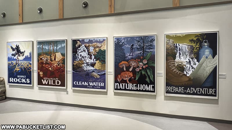
Aside from picking up an official map and orienting yourself to the park, the Visitor Center is a wealth of information about the history of the park, with many excellent interpretive exhibits.
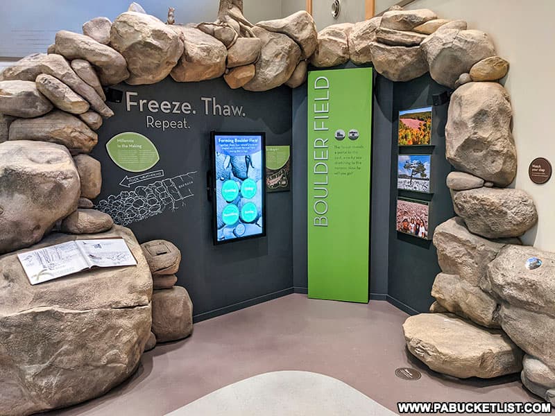
The 2,400-square-foot, self-guided exhibit space opened in 2020 and is definitely worthy of “must-see” status.
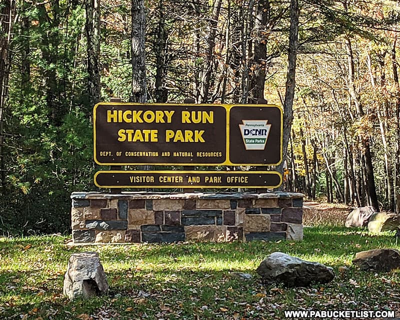
The Visitor Center is located just off of Route 534 at GPS coordinates 41.02423, -75.68879 – look for the sign below along the road.
2. Fireline Trail Vista
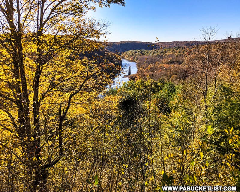
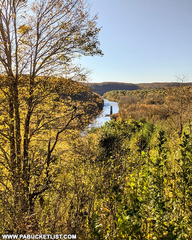
Located in the northwestern corner of the park, Fireline Trail Vista is one of the prettiest scenic overlooks at Hickory Run State Park.
The parking area is located along Route 534 at GPS coordinates 41.03325, -75.73311.
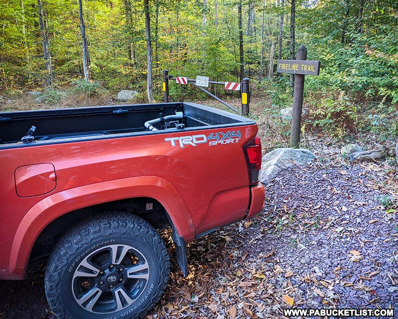
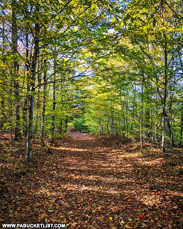
The hike to the vista is a half-mile long (one way), and follows an old forest road with very little elevation change (less than 100 feet).
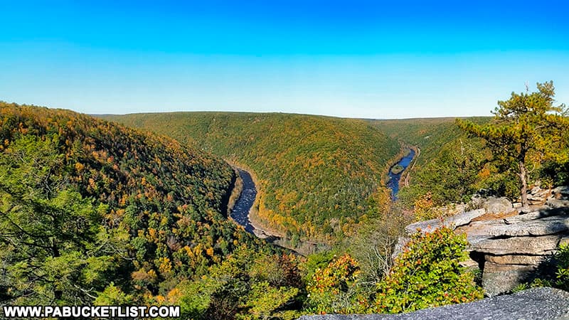
Once you reach the Fireline Trail Vista (GPS coordinates 41.03174, -75.74041), you’ll have a commanding view of the Lehigh River, remnants of an old railroad bridge, and Lehigh Gorge State Park, on the opposite side of the river.
3. Chapel Falls
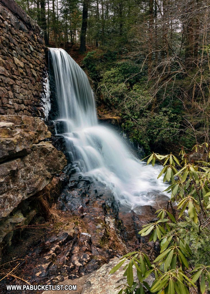
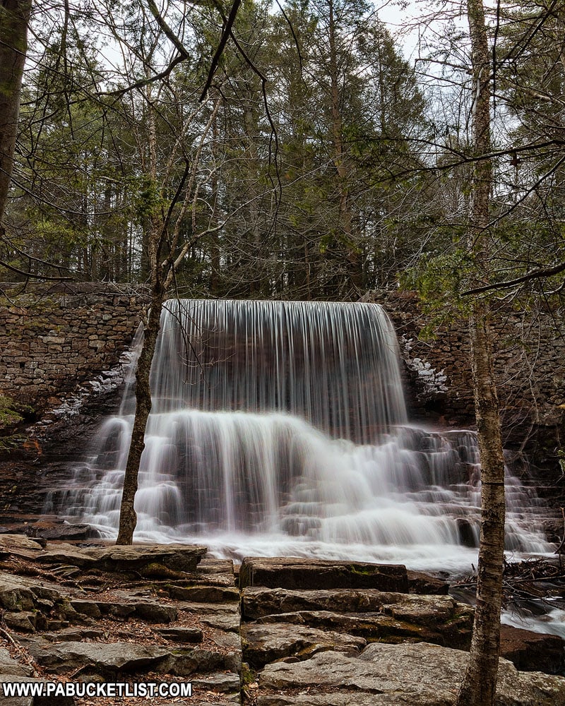
Chapel Falls is a scenic man-made spillway along Hickory Run, directly in front of a chapel that is one of the few remnants of the ghost town of Hickory Run.
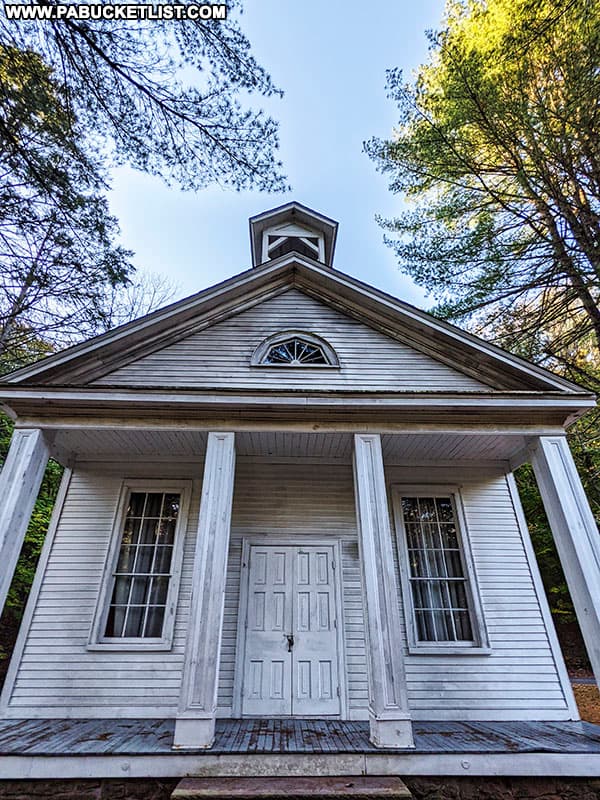
You can park directly across from the chapel, along Route 534, at GPS coordinates 41.02437, -75.71034.
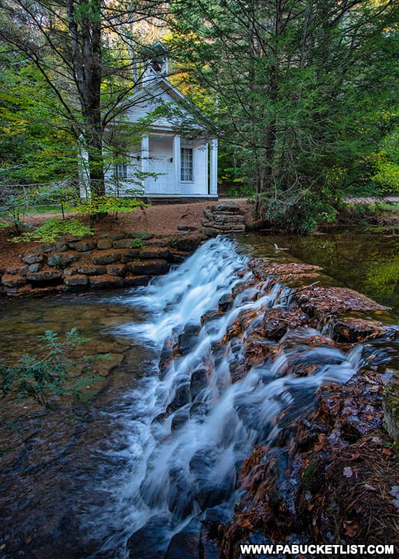
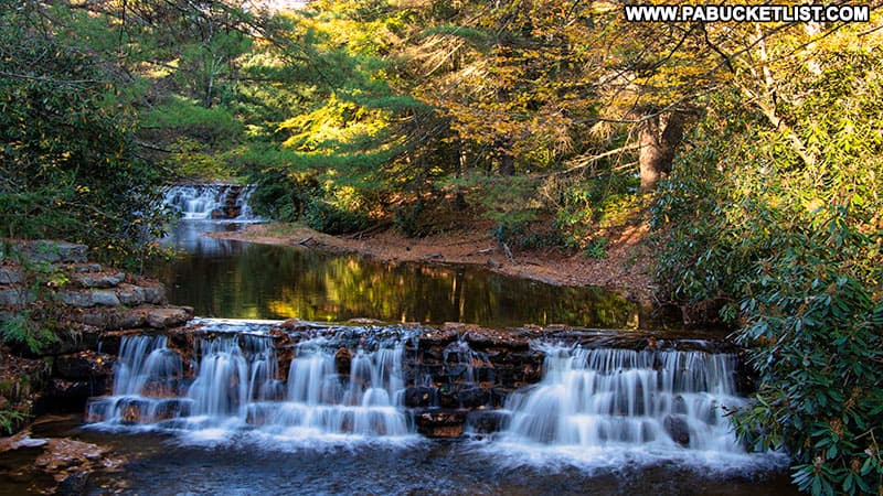
If you walk downstream approximately 50 yards, you’ll encounter a bridge over Hickory Run and a view of a second spillway below the chapel.
4. Shades of Death Trail
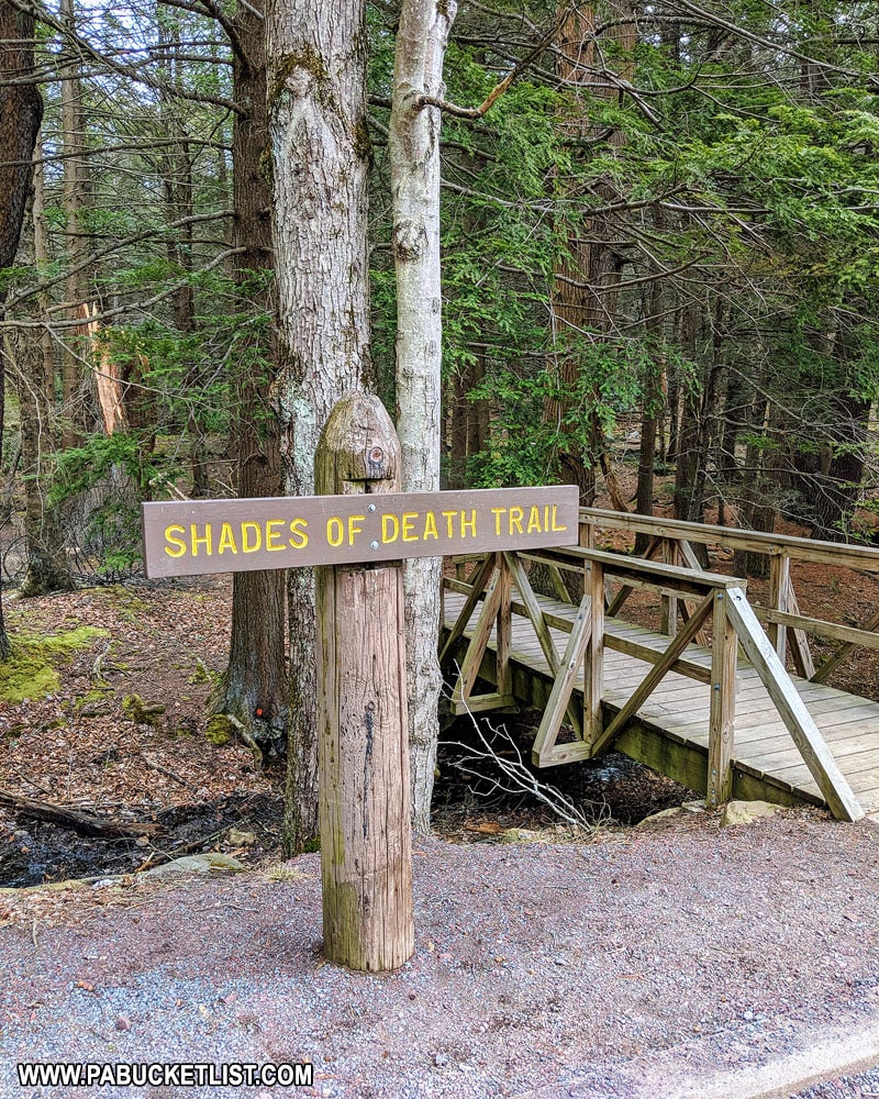
Despite the ominous-sounding name, the Shades of Death Trail is one of the most enjoyable trails at Hickory Run State Park.
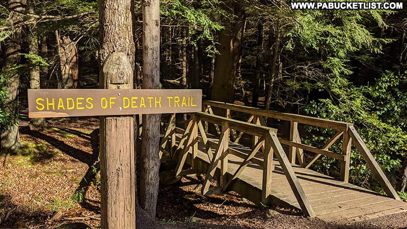
This rocky trail follows Sand Spring Run as it meanders through rhododendron thickets and unique rock formations.
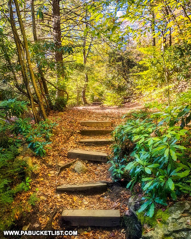
Along the trail you’ll pass the remains of logging mills and dams dating back to the early 1800s.
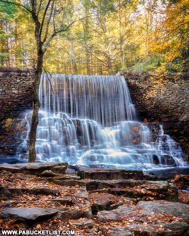
The first European colonists named the area “Shades of Death” for the dark forests, numerous swamps, and rocky, unfarmable soil they encountered; the ensuing lumbering era resulted in that entire dark forest being clear-cut.
The Shades of Death Trail parking area is located directly across Route 534 from Chapel Falls, at GPS coordinates 41.02448, -75.70989.
The popular Stametz Dam along the Shades of Death Trail is located approximately 500 yards west of the trailhead, at GPS coordinates 41.02457, -75.70524.
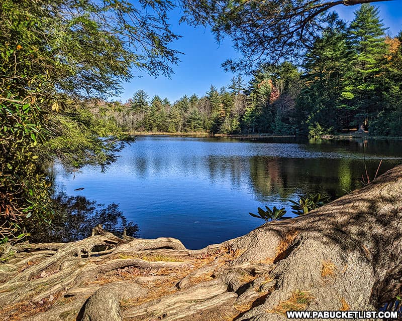
5. Hickory Run Lake
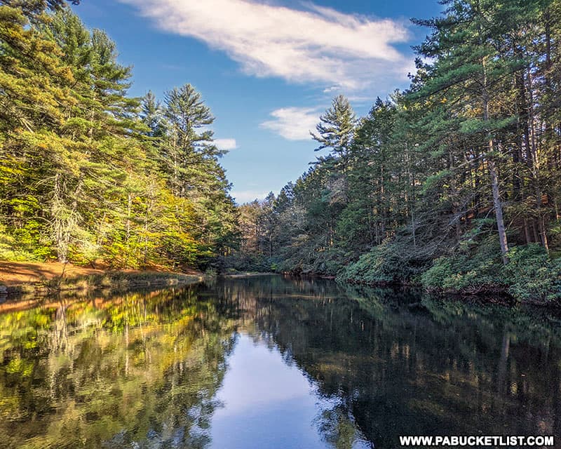
Hickory Run Lake is located along Boulder Field Road, with roadside parking at GPS coordinates 41.04355, -75.68536.
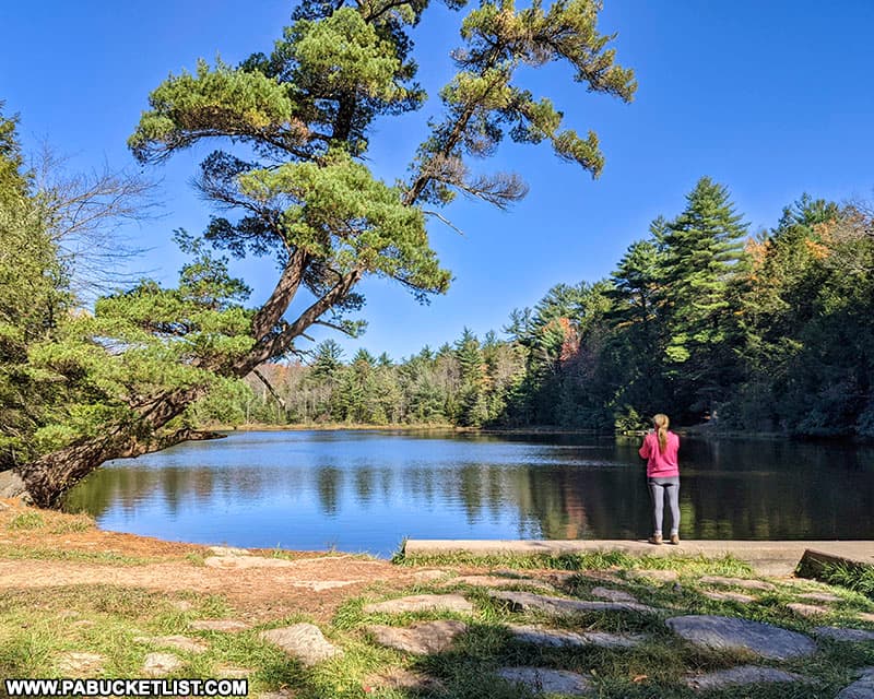
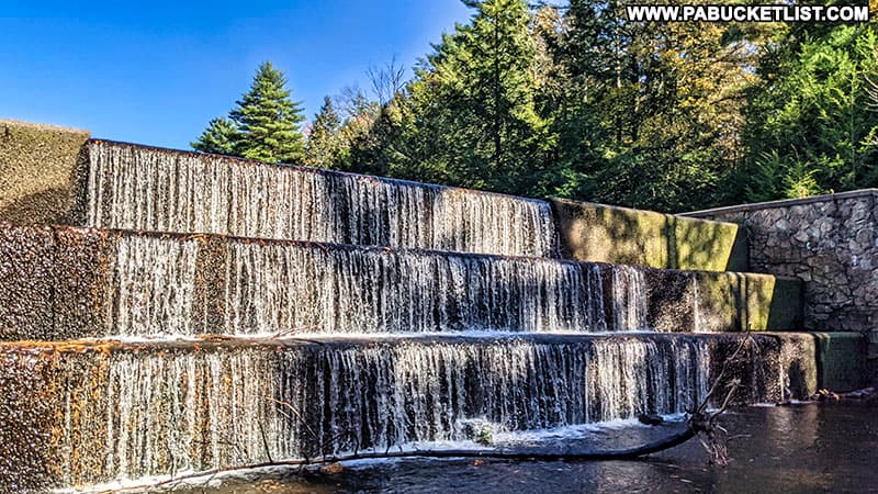
A man-made lake, there is a attractive spillway below the breast of the dam.
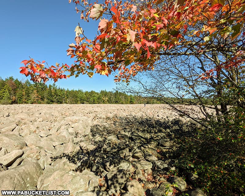
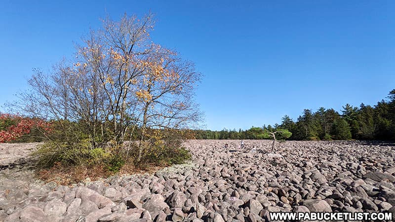
6. The Boulder Field at Hickory Run State Park
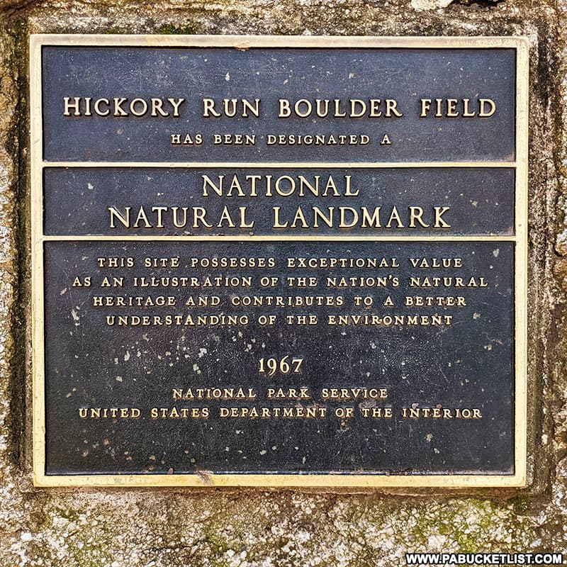
Designated as a National Natural Landmark in 1967, the Boulder Field at Hickory Run State Park is touted as the best example of a boulder landscape in the eastern United States.
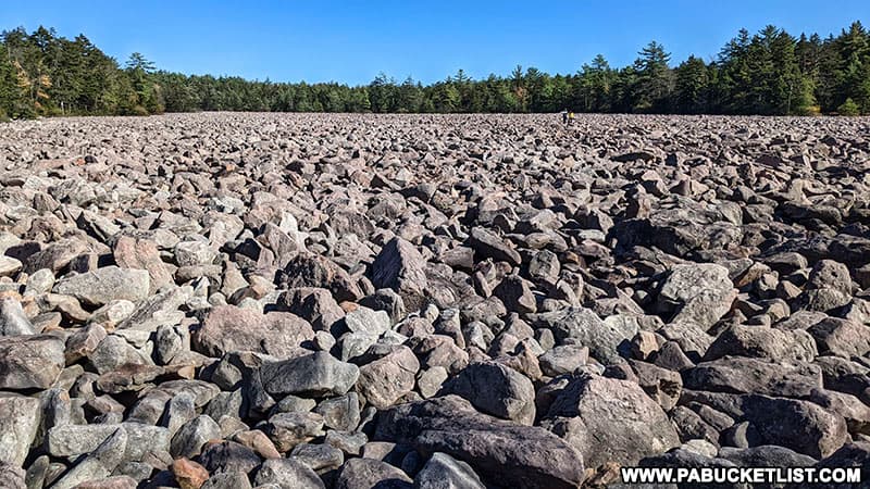
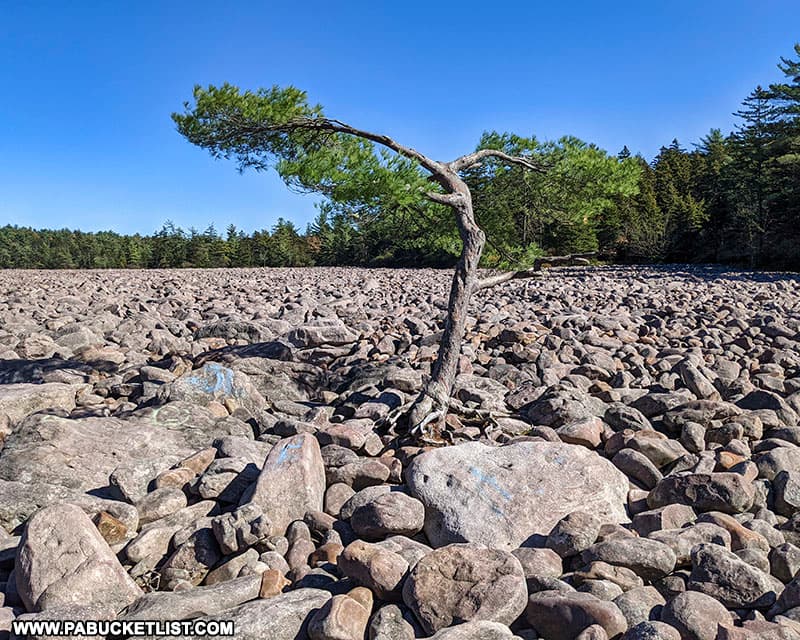
The Boulder Field is 400-feet wide, 1,800-feet long, and 10 to 12-feet deep.
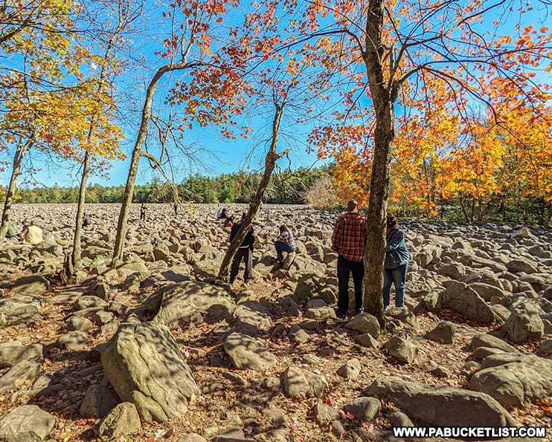
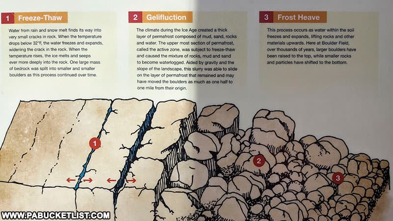
During the last Ice Age, the combination of freeze-thaw cycles and and frost-heave broke-up sheets of bedrock, helping to form the Boulder Field.
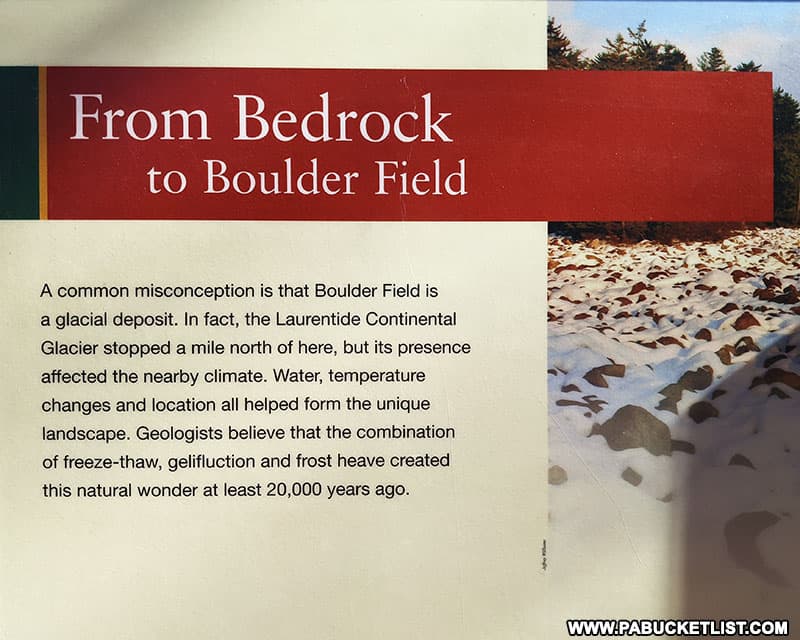
You can learn more about the formation of the Boulder Field from informational signs near the adjacent parking area.
For me personally, the Boulder Field is the most fascinating sight to see at Hickory Run State Park, because it is so unique in the eastern United States.
You can find the Boulder Field parking area at GPS coordinates 41.05080, -75.64584.
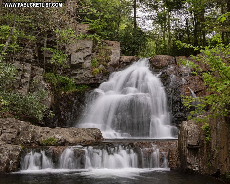
7. Hawk Falls
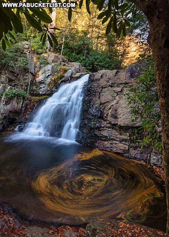
Hawk Falls is a breathtaking 25-foot tall waterfall named after the Hawk family that once farmed the land near the Hawk Fall trailhead along Route 534.
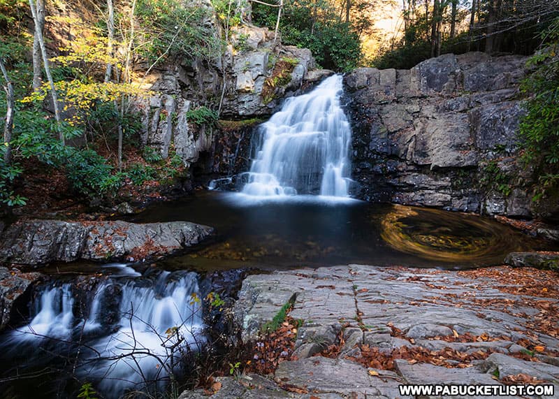
The Hawk Falls parking area is located at GPS coordinates 41.01073, -75.63397.
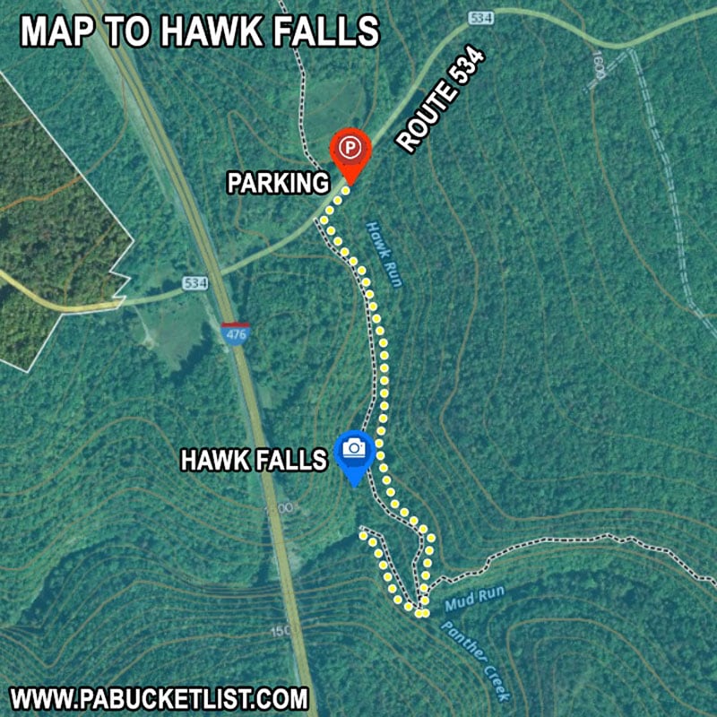
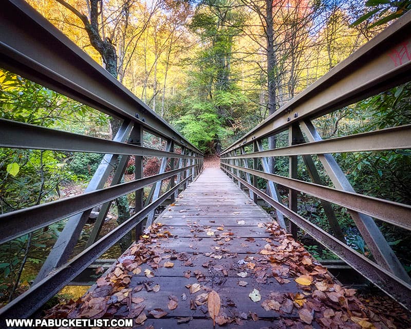
The hike to Hawk Falls covers roughly a half-mile (one-way), and follows a yellow-blazed trail which runs parallel to Hawk Run, crossing over the stream via a bridge just above the falls.
You can read my in-depth article on Hawk Falls HERE.
So there you have it – directions to 7 must-see attractions at Hickory Run State Park, making for an action-packed day trip or weekend adventure!
Nearby Attractions
Riding the Lehigh Gorge Scenic Railway is one of the most enjoyable ways to experience the landscapes of the Lehigh Gorge.
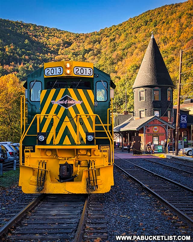
Departing from Jim Thorpe, the Lehigh Gorge Scenic Railway takes you north through the Lehigh Gorge, crossing the Lehigh River and into the heart of Lehigh Gorge State Park.
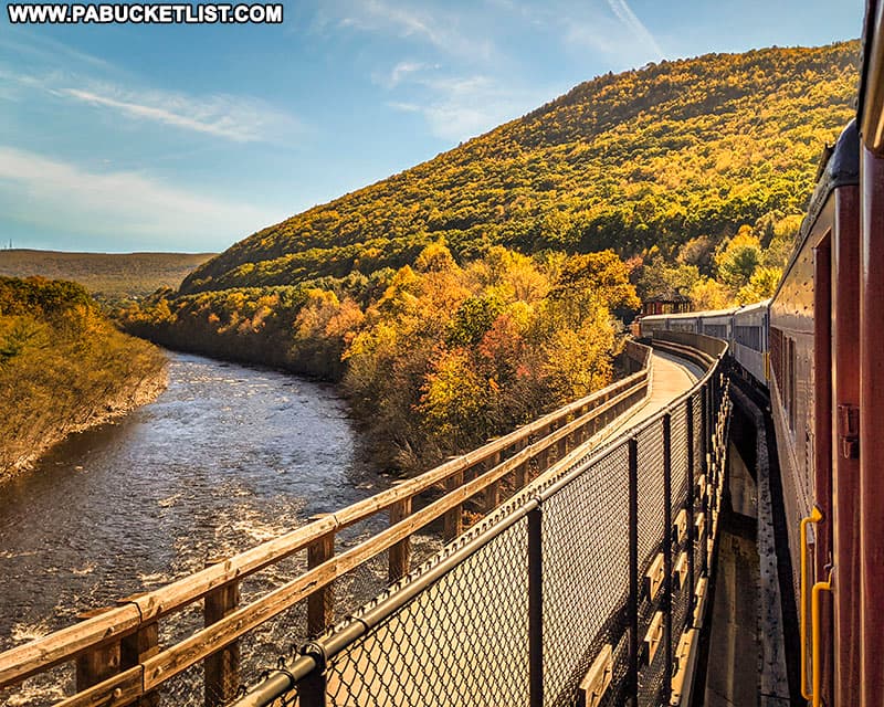
The Mount Pisgah Trail in Jim Thorpe is a steep but easy-to-follow trail leading up Mount Pisgah to a pair of fantastic Carbon County vistas.
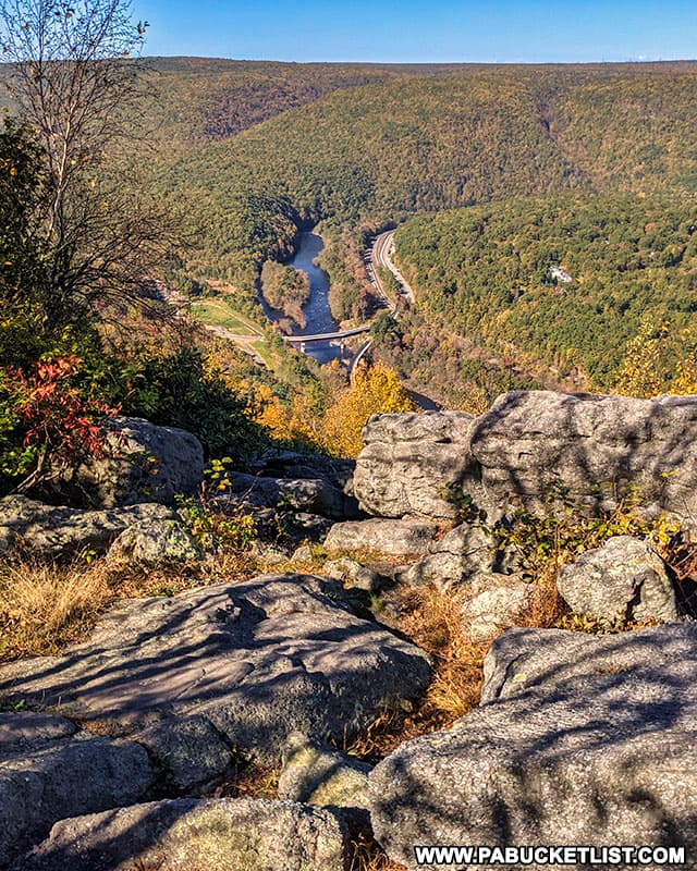
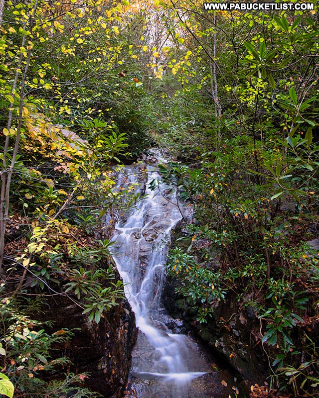
Buttermilk Falls at Lehigh Gorge State Park is a cascading waterfall along the Lehigh Gorge Rail Trail, 1/4 mile north of the Rockport Access to the park and rail trail.
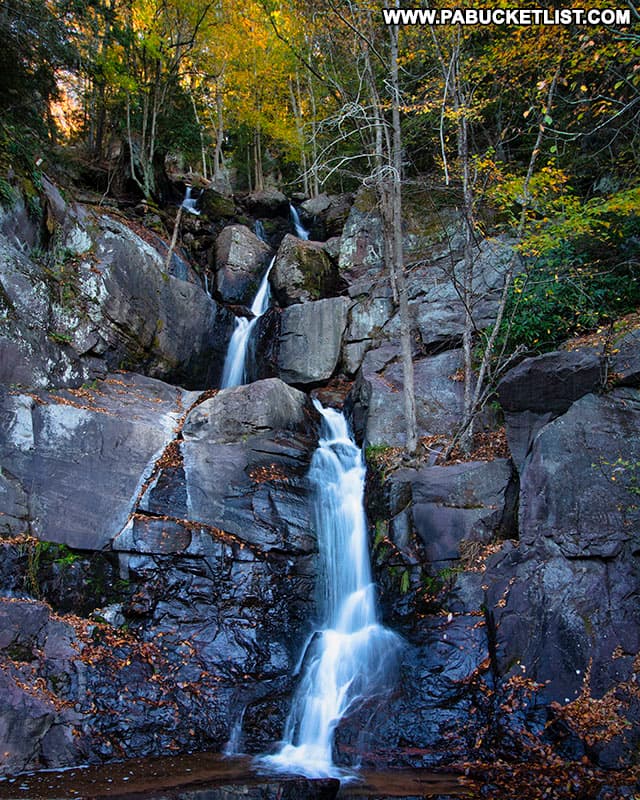
Luke’s Falls at Lehigh Gorge State Park is an easy 1/4 mile hike/bike ride south of the Rockport Access along the Lehigh Gorge Rail Trail.
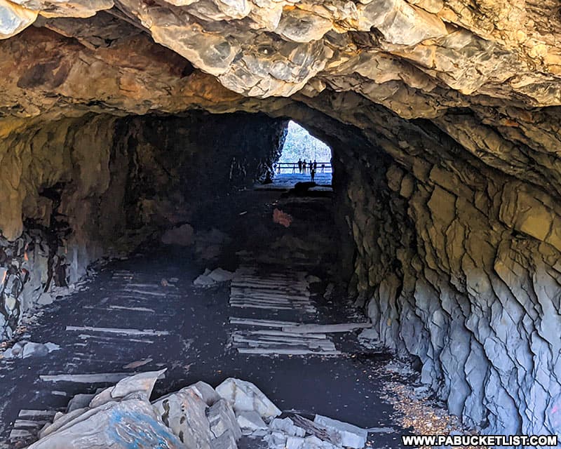
Turn Hole Tunnel is an abandoned railroad tunnel located near the Glen Onoko access to Lehigh Gorge State Park.
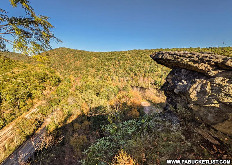
And directly above Turn Hole Tunnel you’ll find Moyer’s Rock Overlook, offering a commanding view of the Lehigh Gorge.
Tobyhanna Falls is just minutes east of Hickory Run State Park, in neighboring Monroe County.
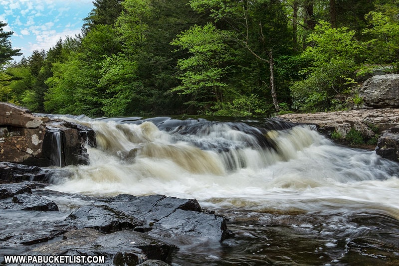
Tobyhanna Falls is an easy 0.4 mile hike (one way) along the Tobyhanna Creek in the Austin T. Blakeslee Natural Area.
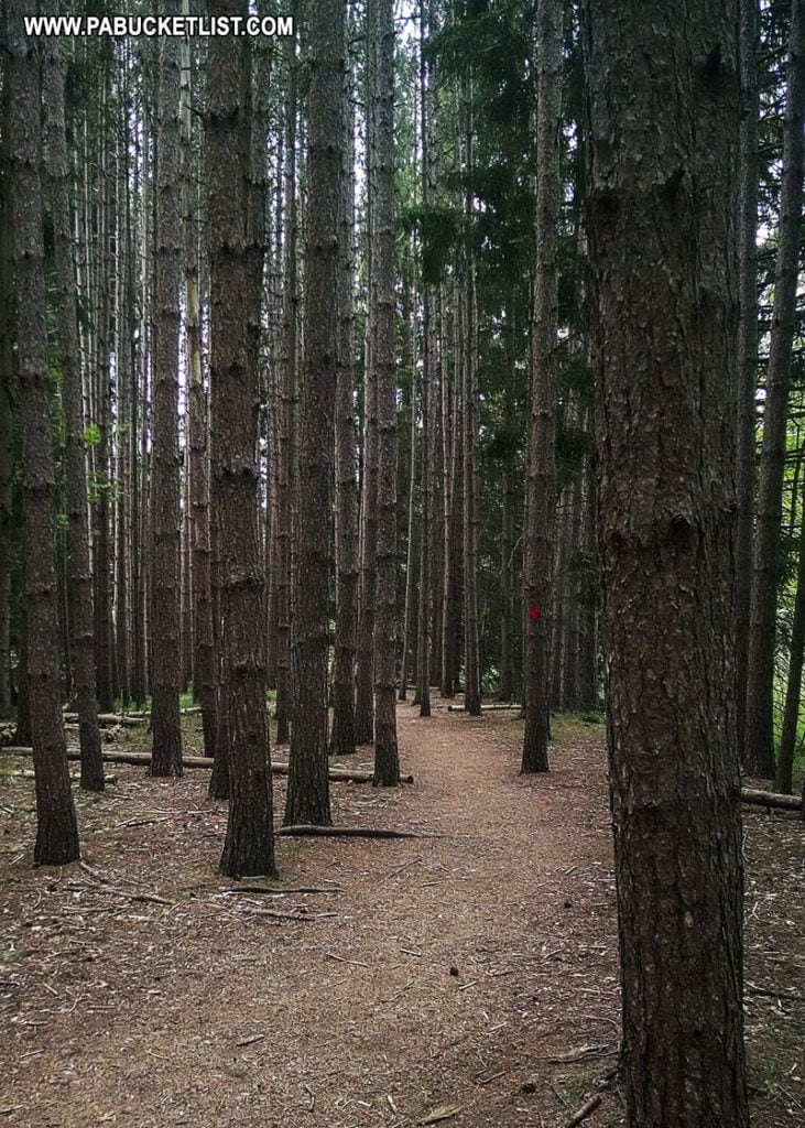
Tank Hollow Overlook in Carbon County offers visitors a stunning view of a bend in the Lehigh River in the western Poconos.
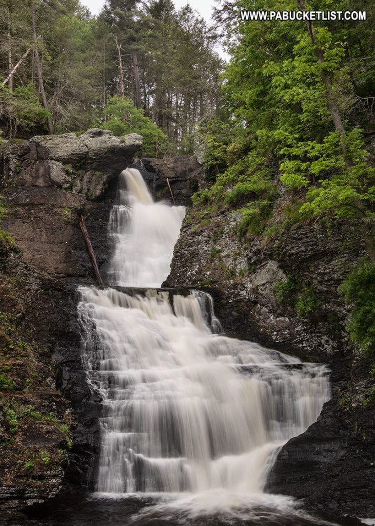
27 Must-See Waterfalls in the Poconos will introduce you to more majestic waterfalls in the area, including the two tallest waterfalls in Pennsylvania!
11 Must-See Attractions in Carbon County is your guide to even more adventures near Hickory Run State Park.
Did you enjoy this article?
If so, be sure to like and follow PA Bucket List on Facebook, Instagram, and/or Pinterest to learn more about the best things to see and do in Pennsylvania!
Click on any of the icons below to get connected to PA Bucket List on social media.


