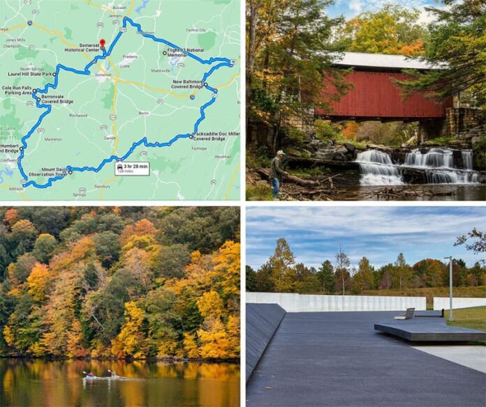
Ready to take the ultimate Somerset County fall foliage road trip?!
In case you’re unfamiliar with this western PA county – it’s home to the highest point in Pennsylvania (Mount Davis), the Flight 93 National Memorial, and quite possibly the prettiest covered bridge in the entire Keystone State (the Pack Saddle Bridge).
And the best part about this fall foliage road trip – it takes you to all three of these sites, as well as six others!
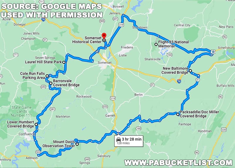
Somerset County and the Laurel Highlands region was named the third best place in the entire United States by USA Today for spectacular fall foliage views, and this 128 mile road trip I’ve laid out for you will show you why.
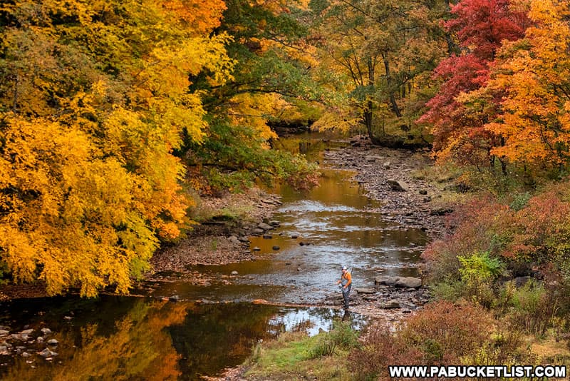
I’ve selected locations that can either be viewed from your vehicle, or by a walk of less than 5 minutes, so that just about anyone can enjoy this, the ULTIMATE Somerset County fall foliage driving tour!
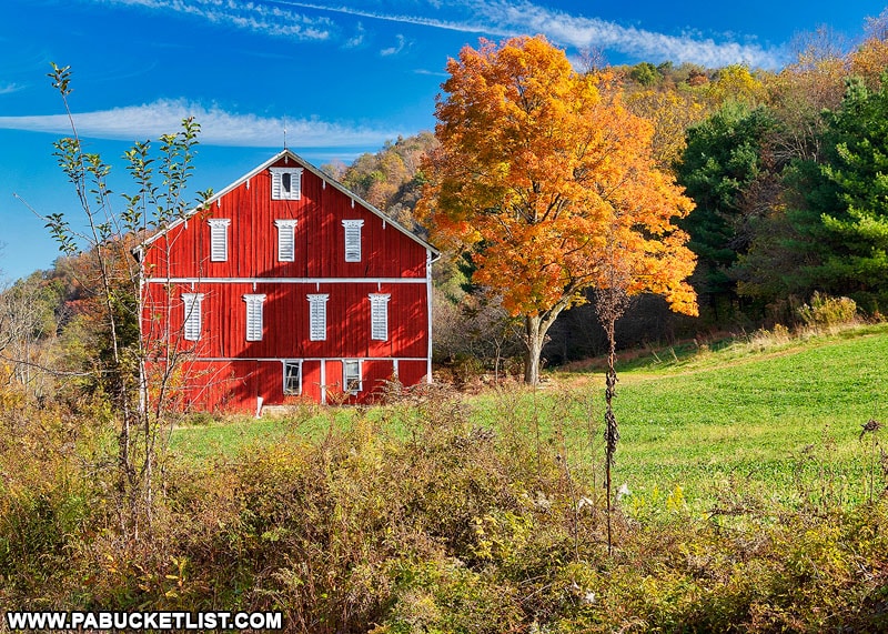
I’m going to describe this road trip by going in a counterclockwise direction, but you could just as easily drive to all 9 locations in a clockwise direction and enjoy the fall foliage every bit as much!
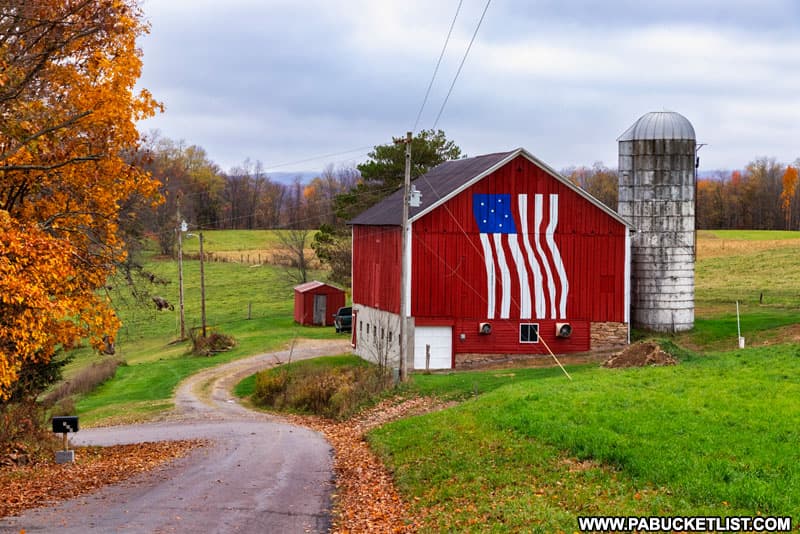
And I’ve even created a Google Map of this route that you can download to your phone, to help you easily navigate this road trip!
1. The Somerset Historical Center
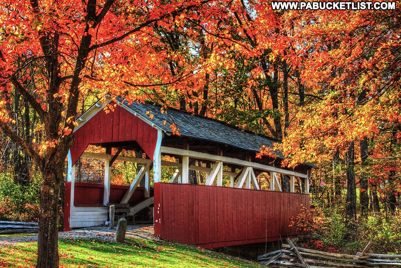
Stop number one on the ultimate Somerset County fall foliage road trip is the Somerset Historical Center (GPS coordinates 40.070428, -79.080873), a combination indoor rural history museum and outdoor collection of historic structures that were moved to the 150-acre grounds to preserve them.
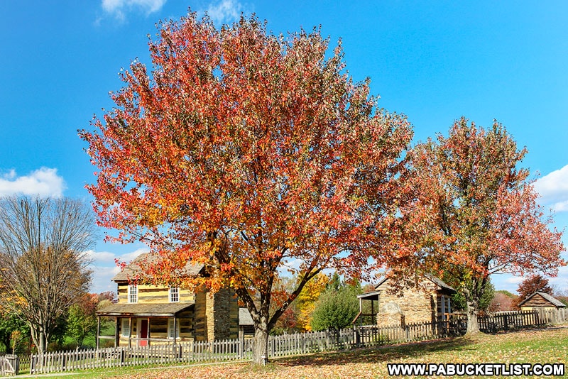
There is a small fee to tour the museum (check the most current hours and admission prices HERE); there is no fee to walk the grounds and enjoy the fall foliage.
2. Laurel Hill State Park
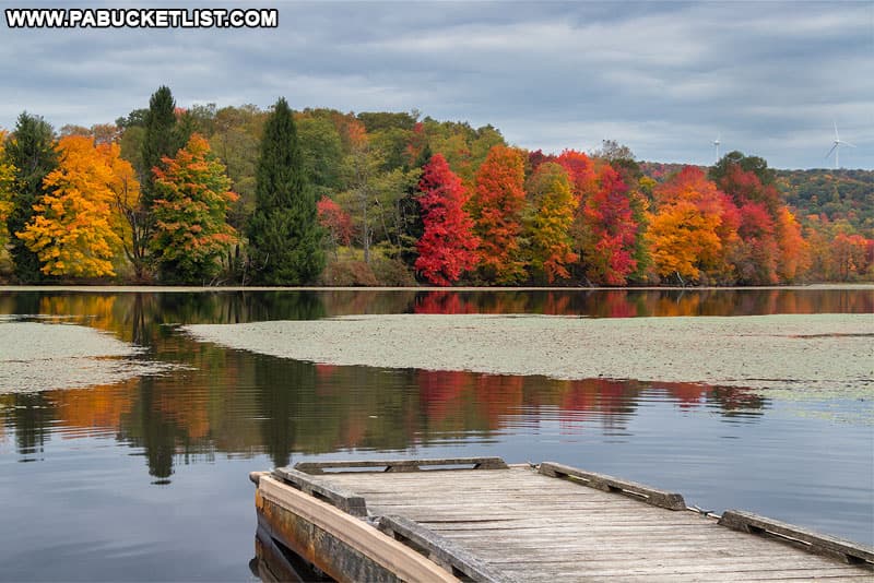
Stop number two on this Somerset County fall foliage road trip is Laurel Hill State Park (park office at GPS coordinates 40.009878, -79.224637).
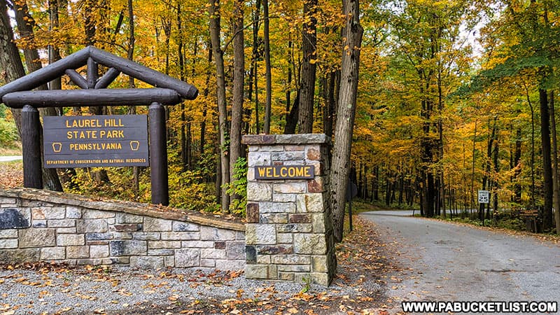
Many of the beautiful scenes at this 4,000 acre park can be seen by driving though the park, such as Laurel Hill Lake (pictured below).
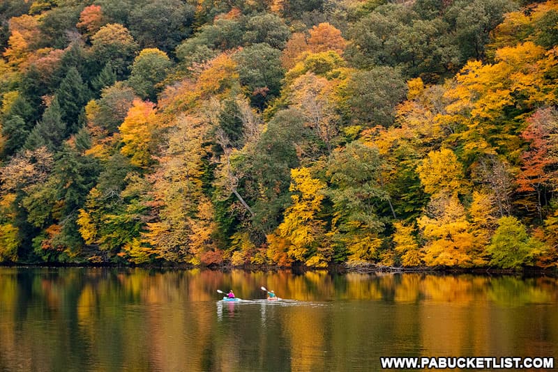
Of course you can get out and explore more of the park if you are willing and able, but even if you can’t or choose not to, there are LOTS of fantastic fall foliage views to be had by simply driving through Laurel Hill State Park.
3. Cole Run Falls
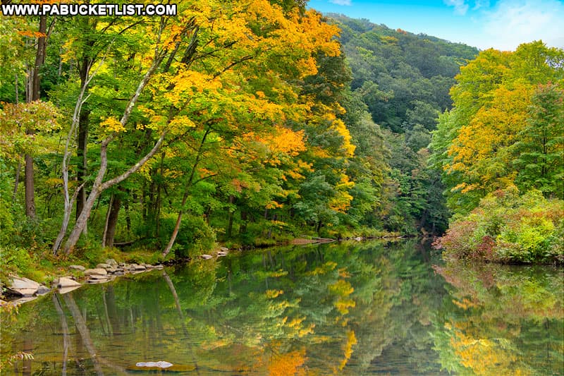
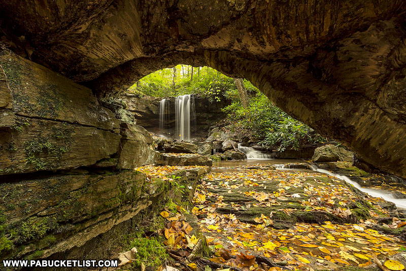
Stop number 3 on this Somerset County fall foliage road trip is Cole Run Falls (GPS coordinates 39.972979, -79.284007), an almost-roadside waterfall in the Forbes State Forest.
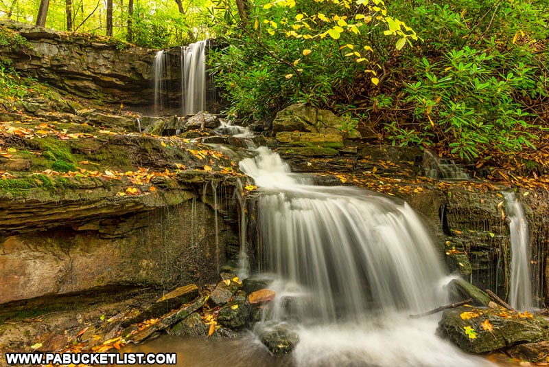
The top of Cole Run Falls is less than 100 yards from the parking area; an obvious trail leads you down the bank to a vantage point below the falls if you want to see them from there.
4. Barronvale Covered Bridge
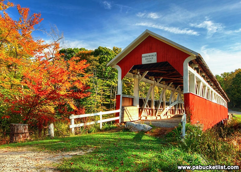
Stop number four is the Barronvale Covered Bridge (GPS coordinates 39.953030, -79.269958), the longest covered bridge in Somerset County.
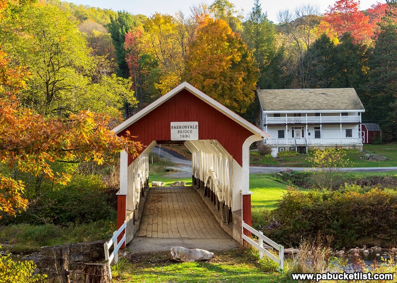
Built in 1830, the Barronvale Bridge is no longer open to vehicular traffic, but you can certainly walk through it and enjoy the fabulous fall foliage views all around.
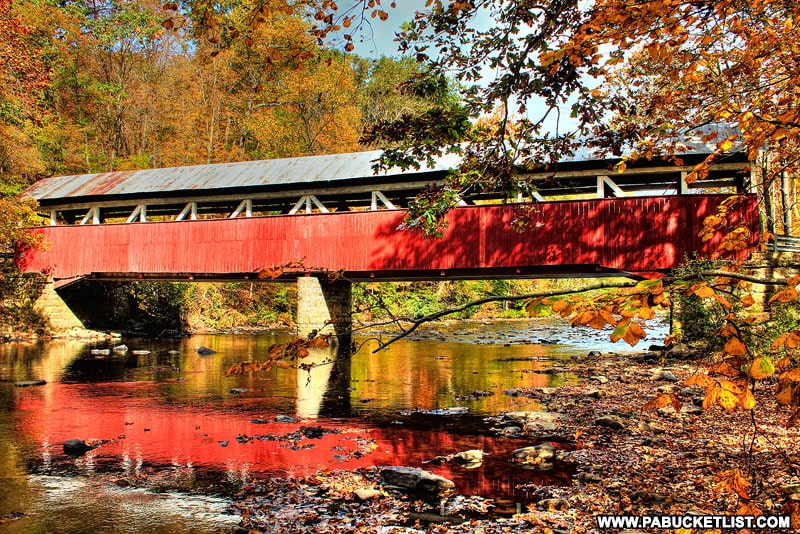
5. Lower Humbert Covered Bridge
Stop number six on this fall foliage road trip is the Lower Humbert Covered Bridge (GPS coordinates 39.84013, -79.32318).

The Lower Humbert Covered Bridge spans Laurel Hill Creek and is still open to vehicular traffic.
6. Mount Davis
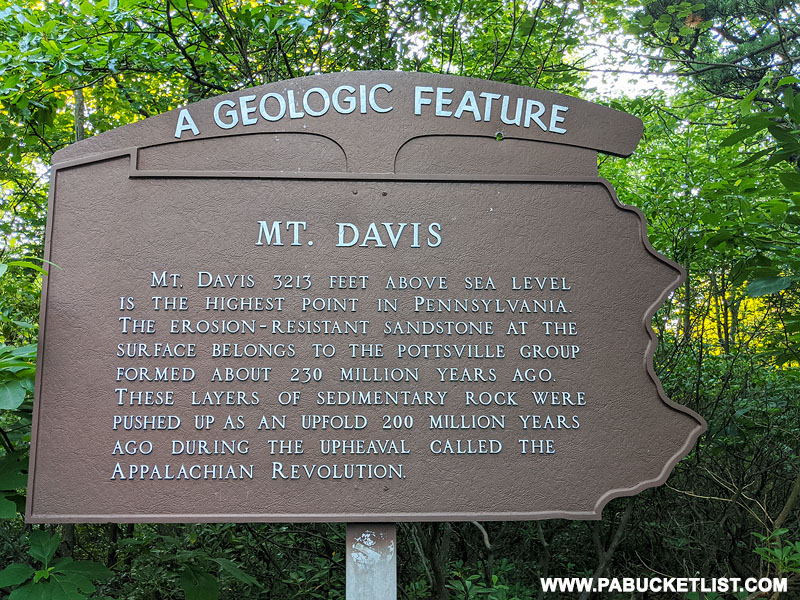
Mount Davis (GPS coordinates 39.78587, -79.17672) is the highest point in Pennsylvania, at 3, 213 feet above sea level.
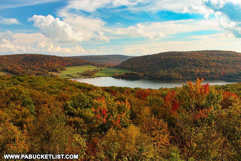
There are several overlooks near the summit of Mount Davis; the Camp Buckey Overlook is my favorite in the fall.
7. The Pack Saddle Covered Bridge
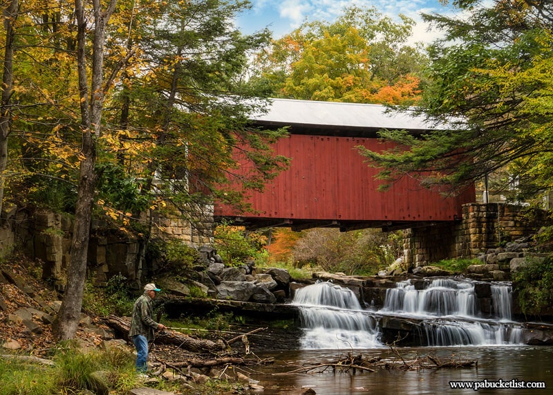
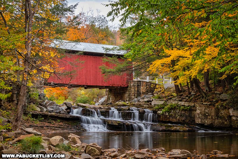
The Pack Saddle Bridge (GPS coordinates 39.867592, -78.817354) is stop number eight on the ultimate Somerset County Fall Foliage road trip.
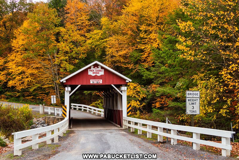
The Pack Saddle Bridge spans Brush Creek and is still open to vehicular traffic.
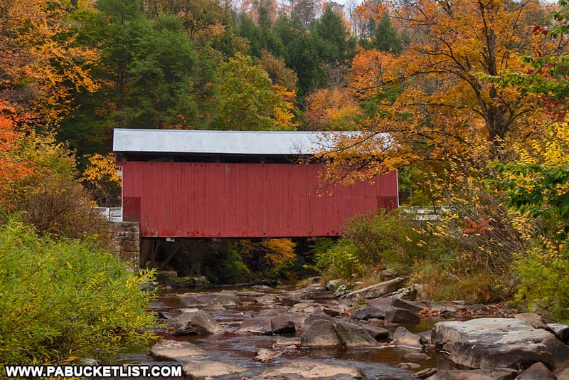
The Pack Saddle Bridge is perhaps most famous for being the ONLY Pennsylvania covered bridge that spans an natural waterfall!
8. New Baltimore Covered Bridge
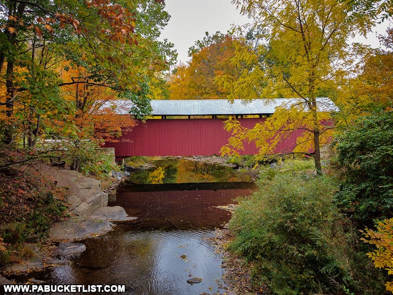
Stop number nine on this fall foliage road trip is the New Baltimore Covered Bridge (GPS coordinates 39.98690, -78.77235).
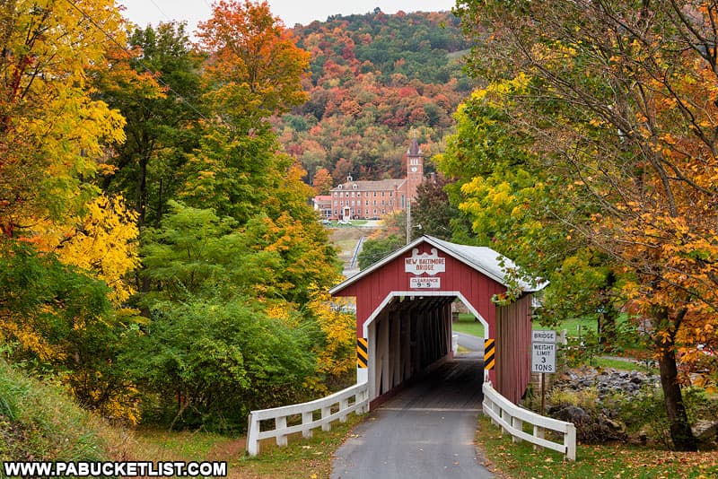
The New Baltimore Covered Bridge spans the Raystown Branch of the Juniata River and is still open to vehicular traffic.
9. The Flight 93 National Memorial
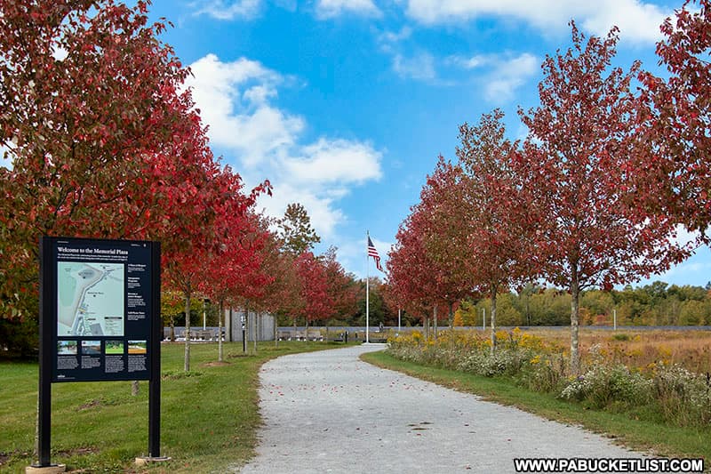
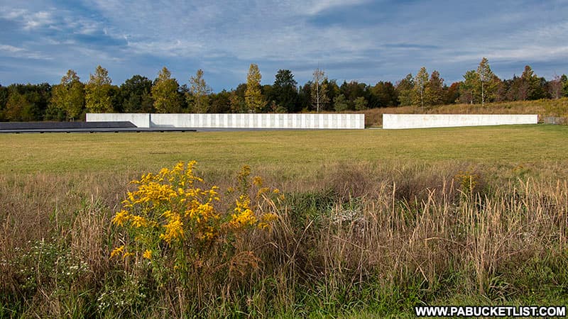
The final stop on this Somerset County fall foliage road trip is the Flight 93 National Memorial, some of the most hallowed ground in Pennsylvania (park entrance at GPS coordinates 40.081714, -78.885904).
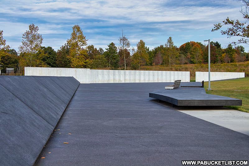
On the morning of September 11, 2001, the passengers and crew of United Airlines Flight 93 fought one of the first battles in the war against radical Islamic terrorists in the skies over western Pennsylvania.
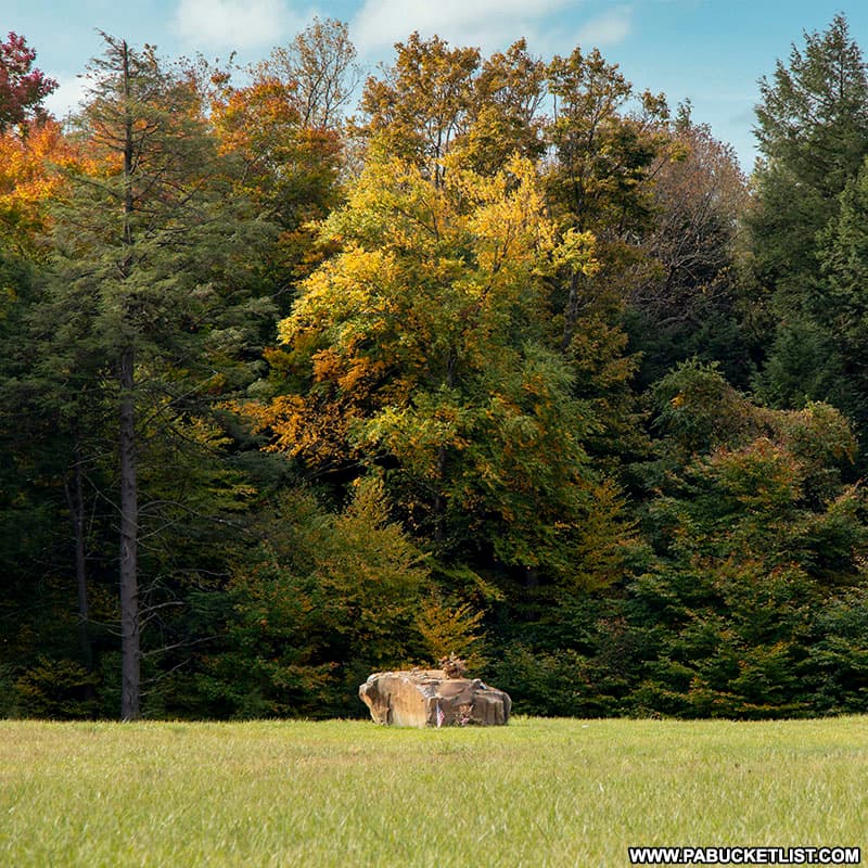
The Flight 93 National Memorial is a tribute to the bravery, service, and sacrifice of those 40 passengers and crew members.
So there you have it – a 128 mile road trip to 9 of the best fall foliage destinations in Somerset County!
Related Articles
If you’re looking for even more fall foliage destinations in the area, be sure to check out 26 Fabulous Fall Foliage Destinations in the Laurel Highlands of PA, which includes additional sites in Somerset, Westmoreland, and Fayette counties.
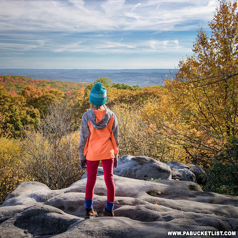
People come from all over the world to take the Somerset County Covered Bridges Driving Tour in the fall, which stops at all 10 historic covered bridges in the county.
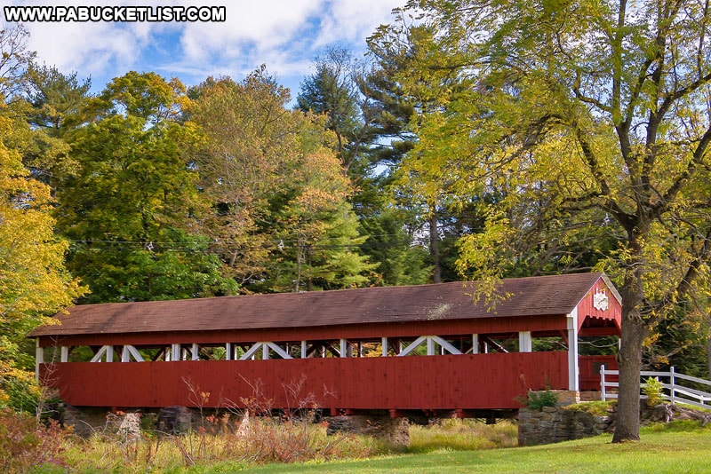
“The 12 Best Places to View Fall Foliage at Ohiopyle State Park” will give you directions to a dozen of the top spots to view fall foliage at this iconic Laurel Highlands destination.
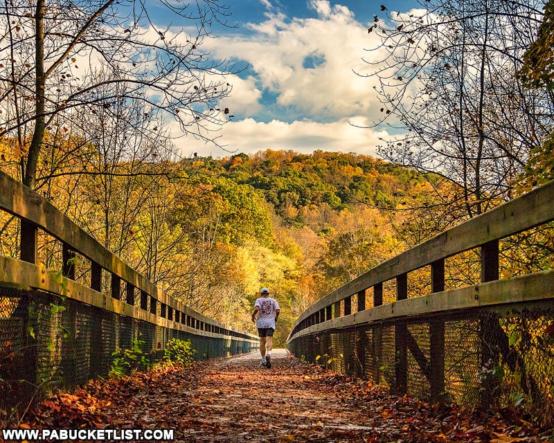
31 PA State Parks Perfect for Fall Foliage Lovers is your guide to 31 of my favorite Pennsylvania state parks for amazing autumn scenery.
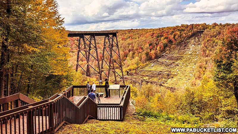
If you love waterfalls AND fall foliage, then be sure to check out “35 PA Waterfalls for Fall Foliage Lovers”!
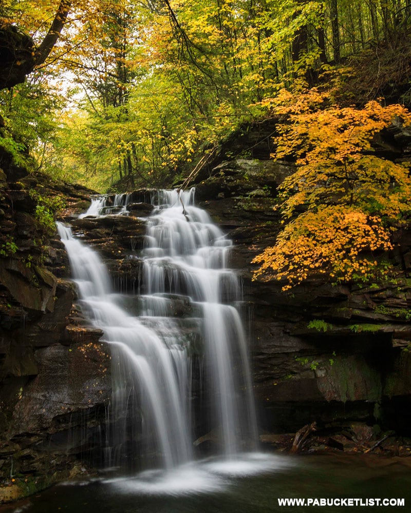
60 Fabulous Fall Foliage Destinations in PA is a guide to 60 of the most amazing places to see fall foliage across Pennsylvania.
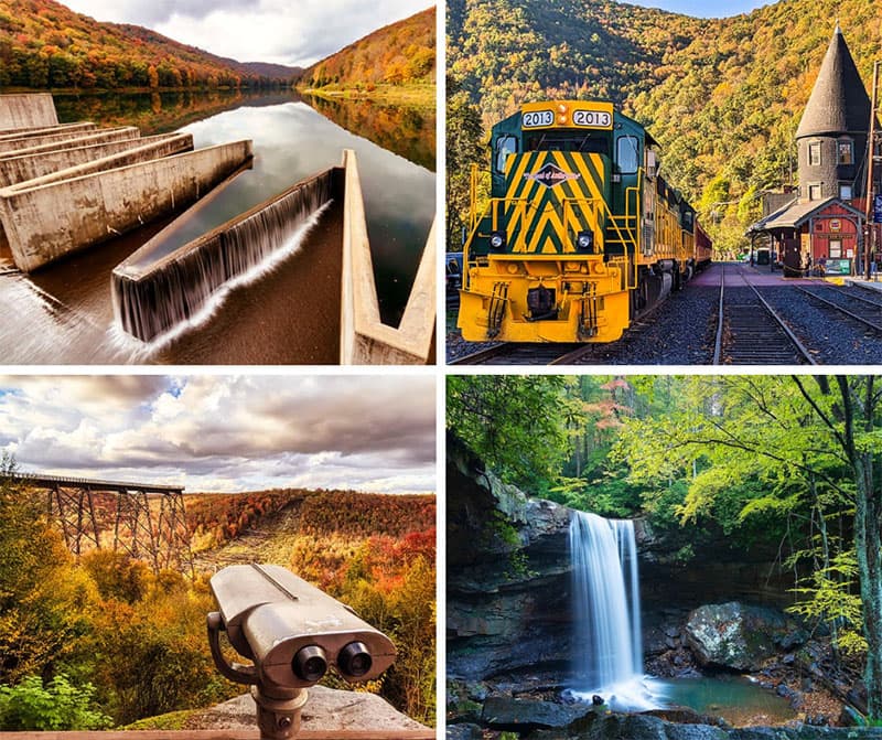
Did you enjoy this article?
If so, be sure to like and follow PA Bucket List on Facebook, Instagram, and/or Pinterest to learn more about the best things to see and do in Pennsylvania!
Click on any of the icons below to get connected to PA Bucket List on social media.


