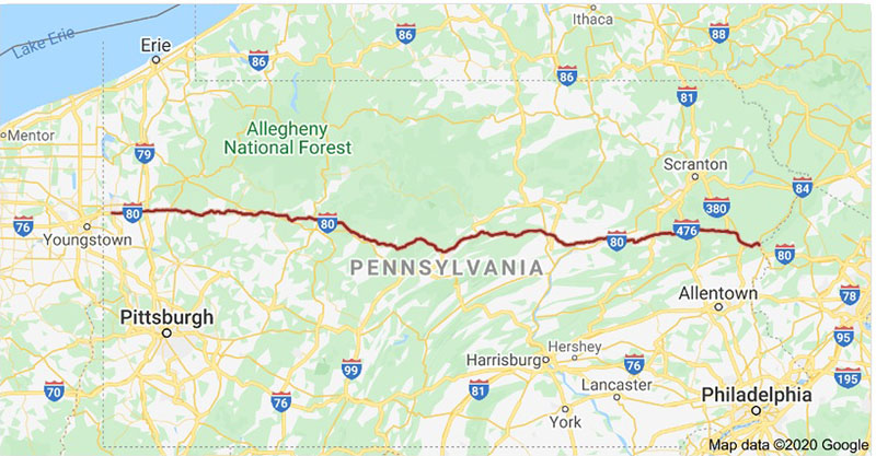
Interstate 80 cuts an uninterrupted 311 mile east-west trail across the northern third of Pennsylvania.
And while you might not think of Interstate 80 as a “scenic highway”, it does in fact pass through or close-by some of Pennsylvania’s most picturesque destinations.
So what I’ve done here is compile a list of 15 of my favorite “roadside attractions” along Interstate 80 in Pennsylvania.
Some of these attractions are literally roadside, while others may require a short hike to see them.
Simply click on the blue text links to view complete write-ups/maps/directions to the various attractions mentioned.
Of course there are many more spots that could have made the list, but these 15 are a good starting point on your way towards discovering your own favorite Interstate 80 roadside attractions!
Roadside Attractions Along Interstate 80 in Western PA
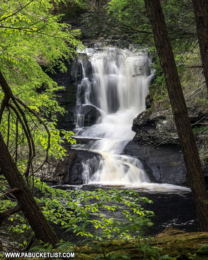
Springfield Falls is a beautiful roadside waterfall in Mercer County, 3 miles south of the Interstate 80/Route 19 interchange.
Freedom Falls
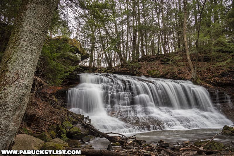
Freedom Falls in Venango County lies just north of Interstate 80, and is a beautiful 20 foot tall waterfall along Shull Run, a tributary of the Allegheny River.
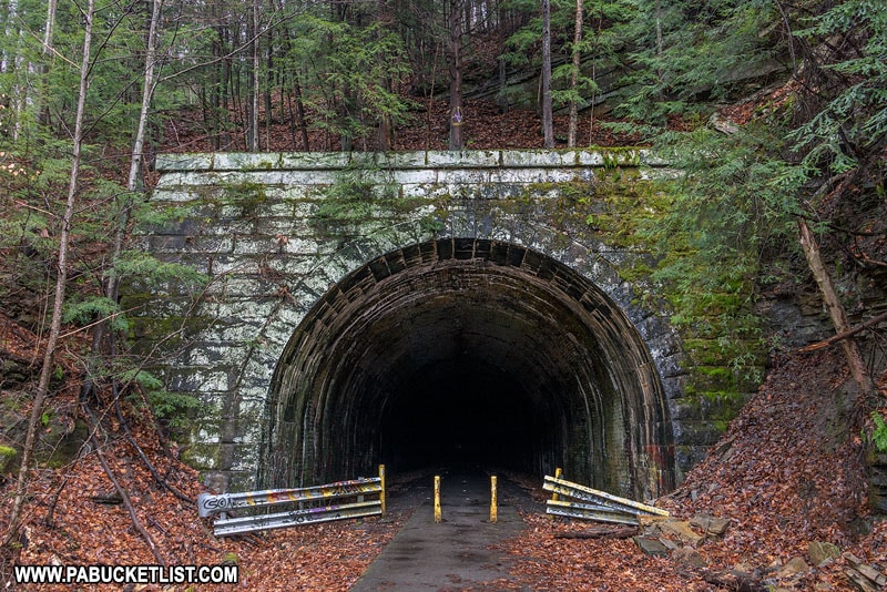
Just downstream from Freedom Falls is the 2,868 foot-long Rockland Tunnel along the Allegheny River Rail Trail.
Rapp Run Falls
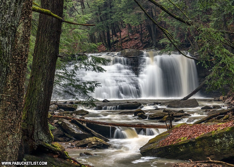
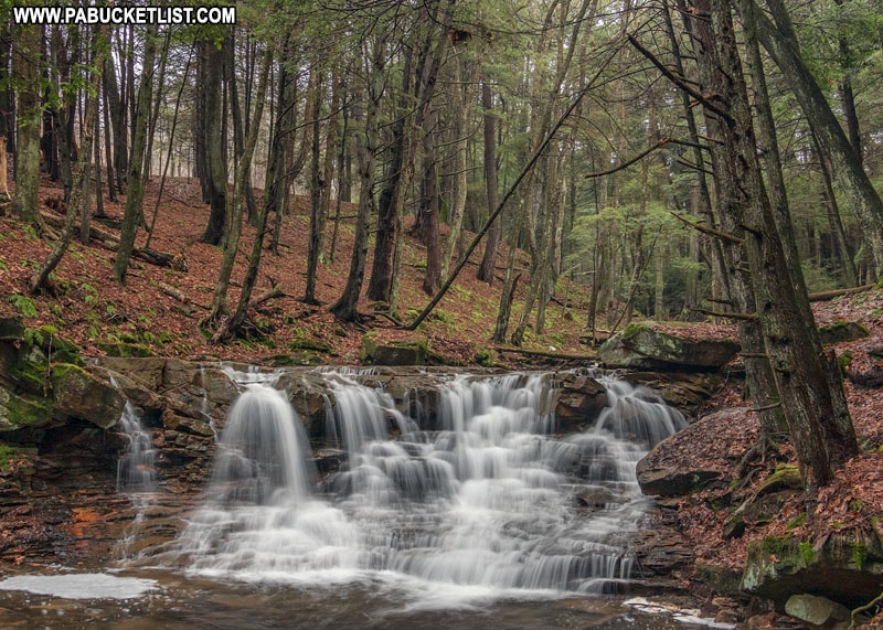
Rapp Run Falls is located just north of Interstate 80 on the outskirts of Clarion.
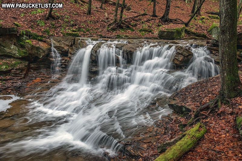
Located just 80 yards off of Bigley Road on State Game Lands 72, Rapp Run Falls is a scenic spot just minutes from Interstate 80.
Doolittle Station
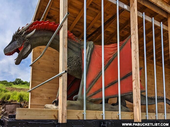
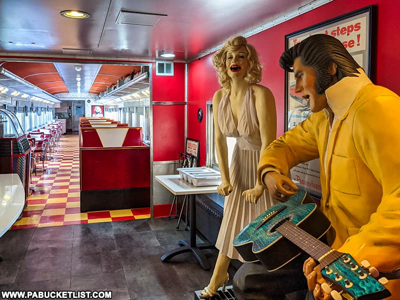
Doolittle Station, located 5 minutes from the Route 219 exit of Interstate 80 near DuBois, is an eclectic mix of restaurants, museums, a brewery, a bed and breakfast, and a dragon – all housed in historic train cars!
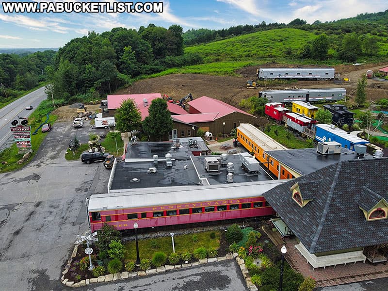
Great food and drinks, plenty of historic railroad memorabilia, and a healthy does of kitsch – all of these factors add up to make Doolittle Station in DuBois one of Pennsylvania’s most unique roadside attractions!
McGees Mills Covered Bridge
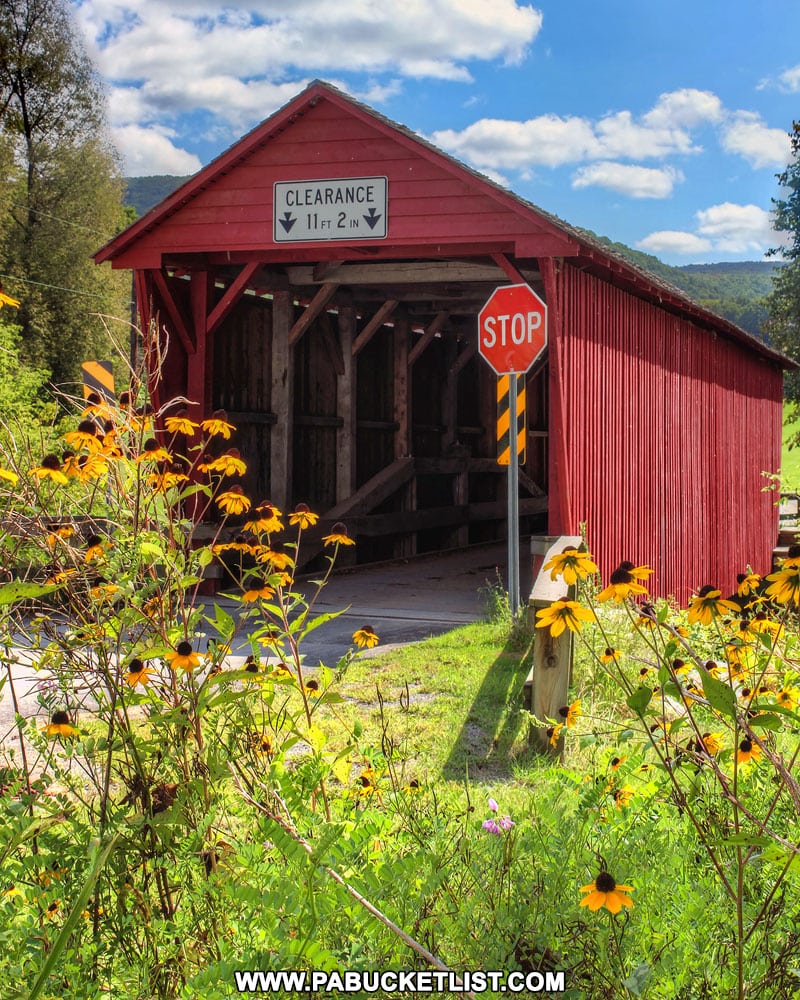
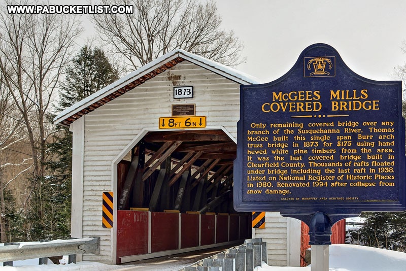
Located a bit south of Interstate 80 in Clearfield County, McGees Mills Covered Bridge is 116 feet long and the last remaining covered bridge over any branch of the Susquehanna River.
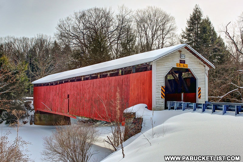
McGees Mills Covered Bridge is still open to traffic almost 150 years after it was originally constructed.
Saint Severin Old Log Church
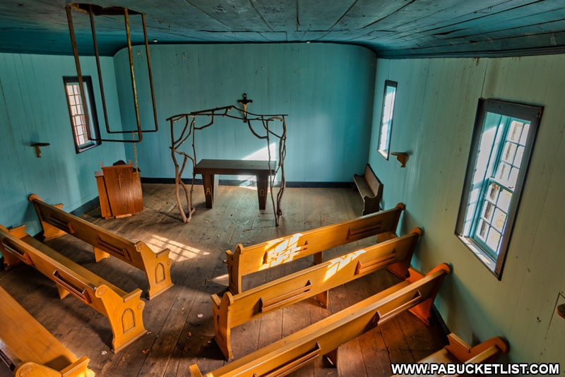
Located just 5 miles north of the Kylertown exit of Interstate 80 in Clearfield County, along Route 53, Saint Severin Old Log Church is a well-preserved example of mid-19th century “frontier” architecture.
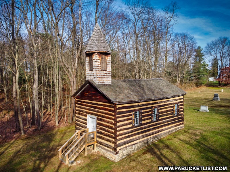
Projecting an image that is both holy yet austere, Saint Severin is an interesting trip back in time and well worth a visit.
Roadside Attractions Along Interstate 80 in Central PA
Bald Eagle State Park
Bald Eagle State Park is a 5,900 acre state park located just north of the Milesburg exit of Interstate 80.
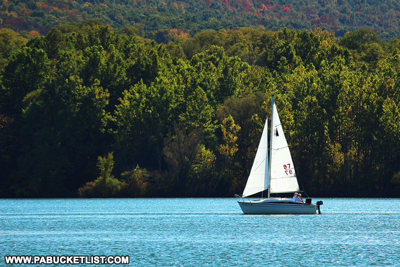
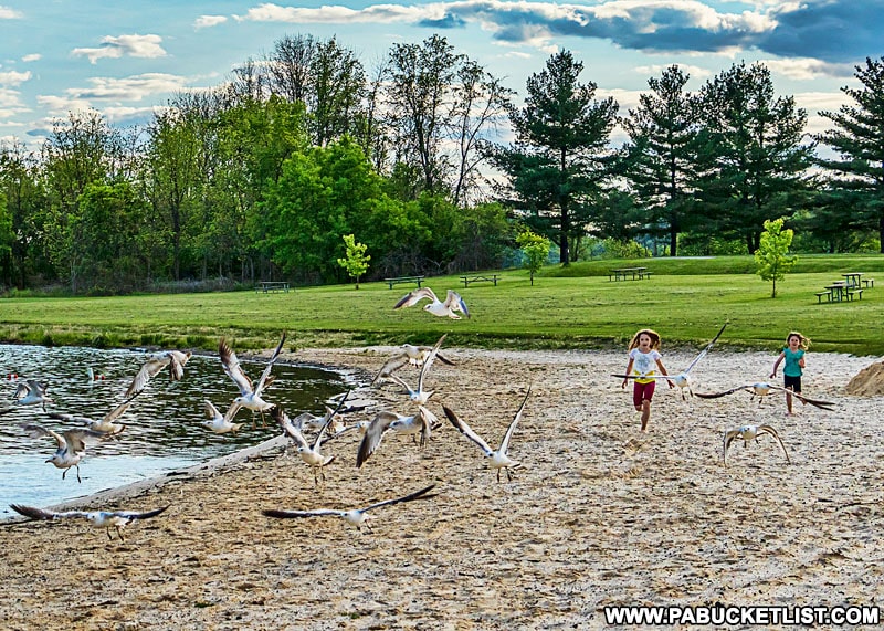
The centerpiece of the park is the 1,730 acre Sayers Lake, which provides ample space for boating, fishing, and swimming.
Downtown Bellefonte
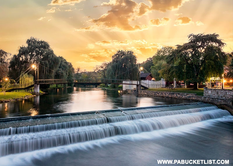
If Victorian architecture appeals to you, hop off the Bellefonte exit of Interstate 80 and check out downtown Bellefonte.
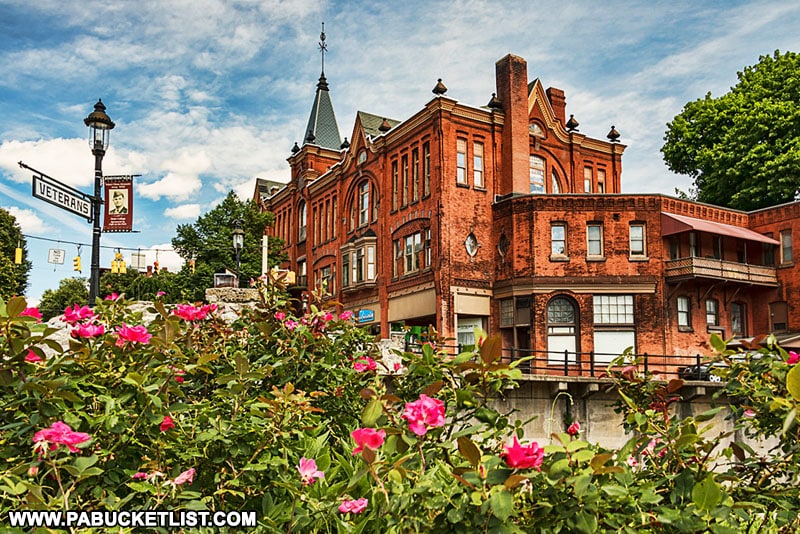
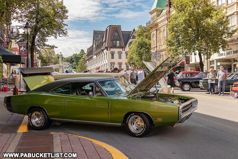
A myriad of old buildings, quaint shops, and restaurants dot the downtown, and numerous special events are held there throughout the year.
Talleyrand Park in the heart of Bellefonte is a great place for a relaxing walk, picnic lunch, or to catch a sunset.
Rosecrans Falls
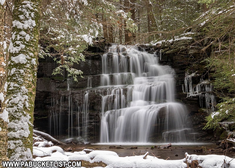
Rosecrans Falls, 5 minutes north of Interstate 80 at the Loganton exit, is one of the finest waterfalls in central Pennsylvania.
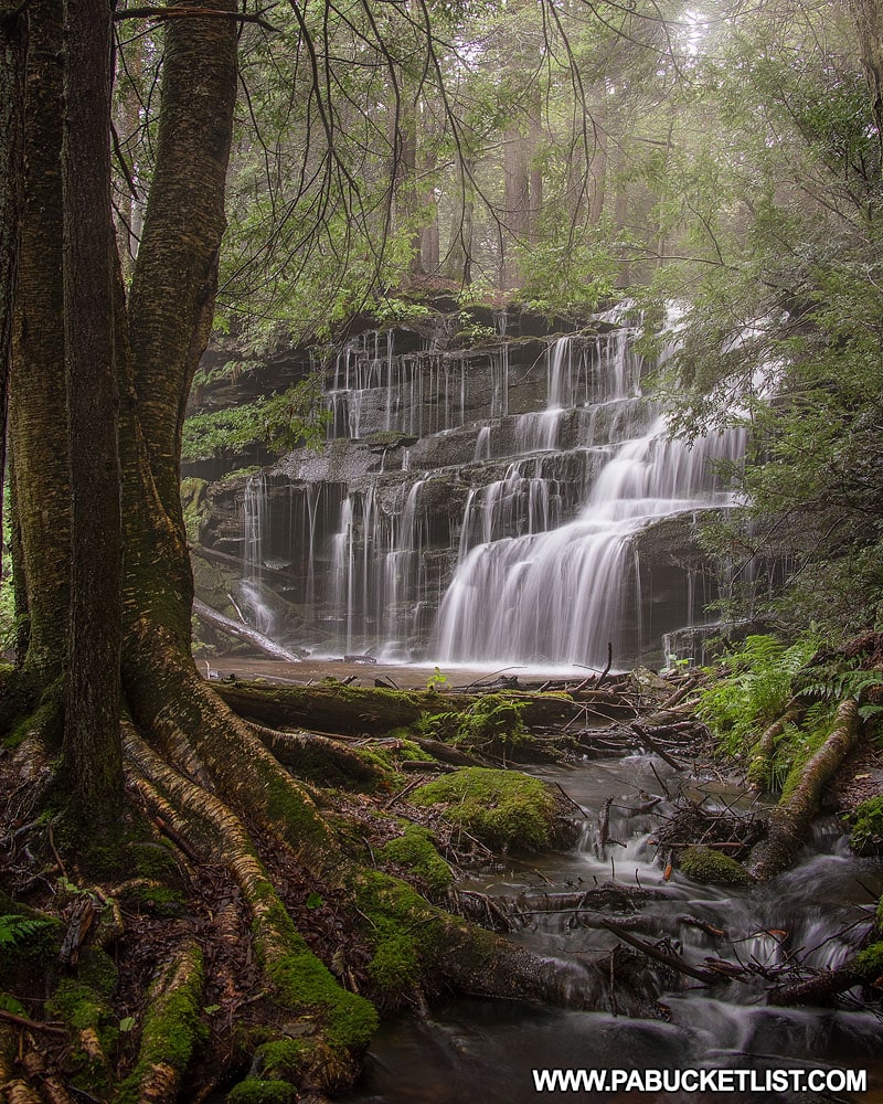
Rosecrans Falls is situated on land managed by the Pennsylvania Game Commission and is open to public hiking.
Logan Mills Covered Bridge
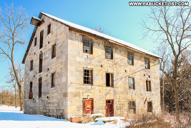
Logan Mills Covered Bridge, just south of Interstate 80 at the Loganton exit, is the last remaining covered bridge in Clinton County.
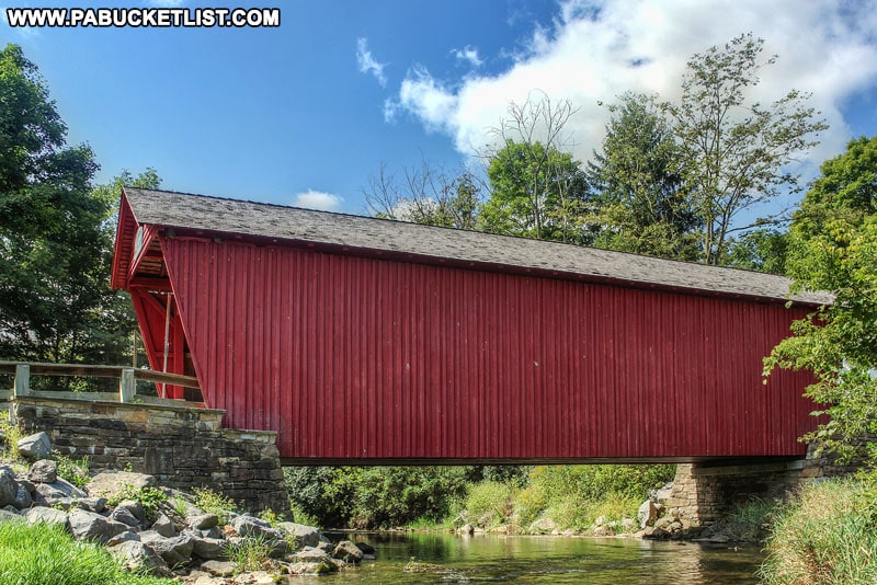
The Logan Mills Gristmill, added to the National Register of Historic Places in 1980, sits on land near the covered bridge.
The Choke and Puke Diner
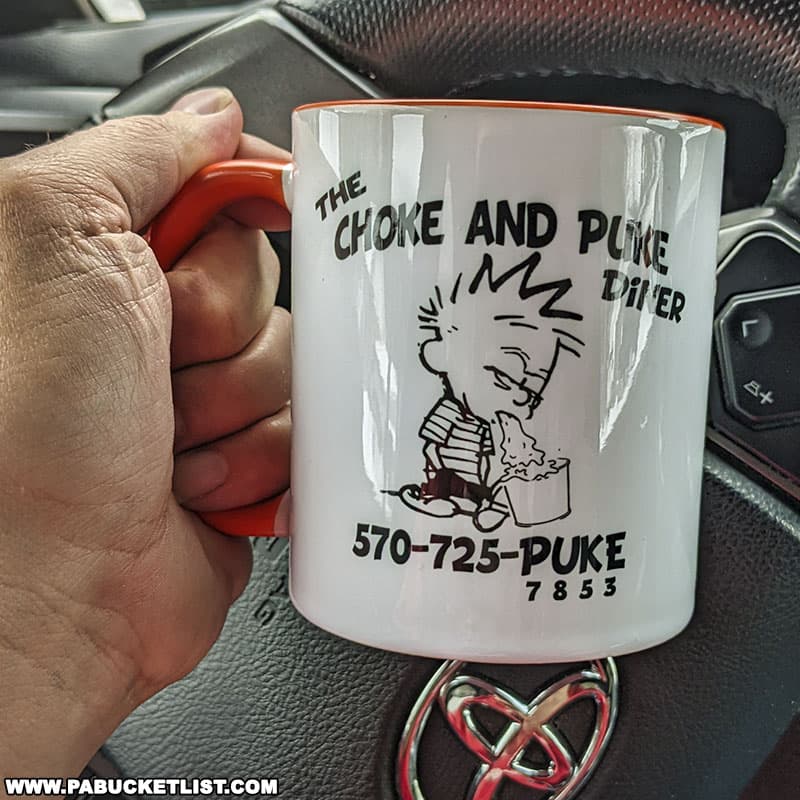
Don’t let the name fool you – the Choke and Puke Diner is one of the best old-school diners along Interstate 80!
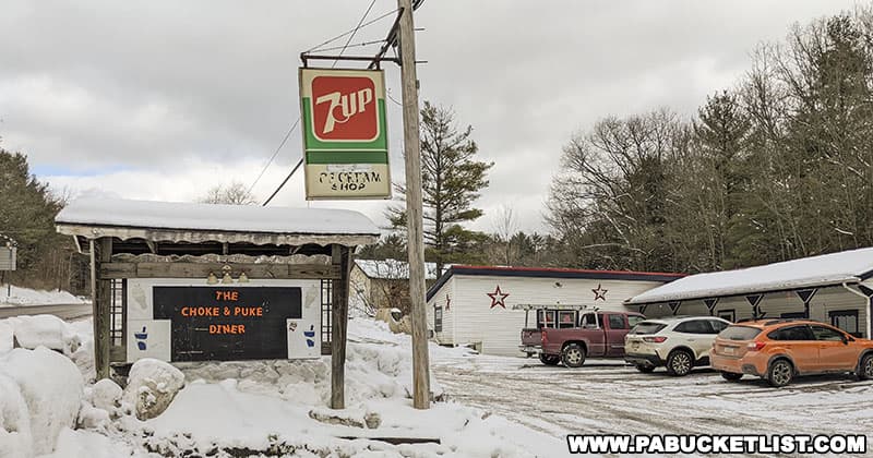
Serving traditional American fare at amazingly low prices, The Choke and Puke Diner is a great pitstop just a few hundred feet from the highway.
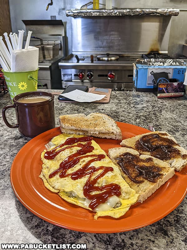
If you like a casual atmosphere and great home cooking, you’ll love this place!
Factory Covered Bridge
Factory Covered Bridge is located along Gray Hill Road in Union County, just 2 miles west of the Interstate 80 / Route 15 interchange.
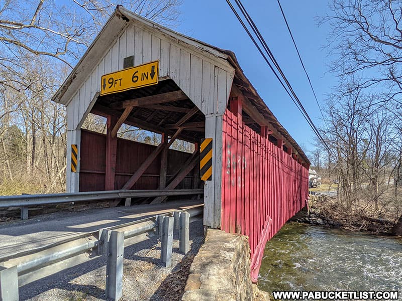
It was originally built in 1880, and has been refurbished several times since.
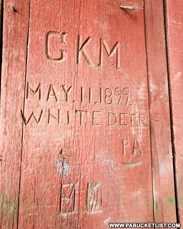
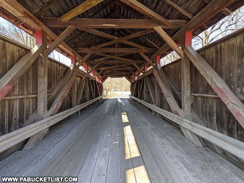
Factory Covered Bridge is 60 feet long, 16 feet wide, and still open to vehicular traffic.
Roadside Attractions Along Interstate 80 in Eastern PA
Hickory Run State Park
Hickory Run State Park in Carbon County is just south of Interstate 80 along Route 534.
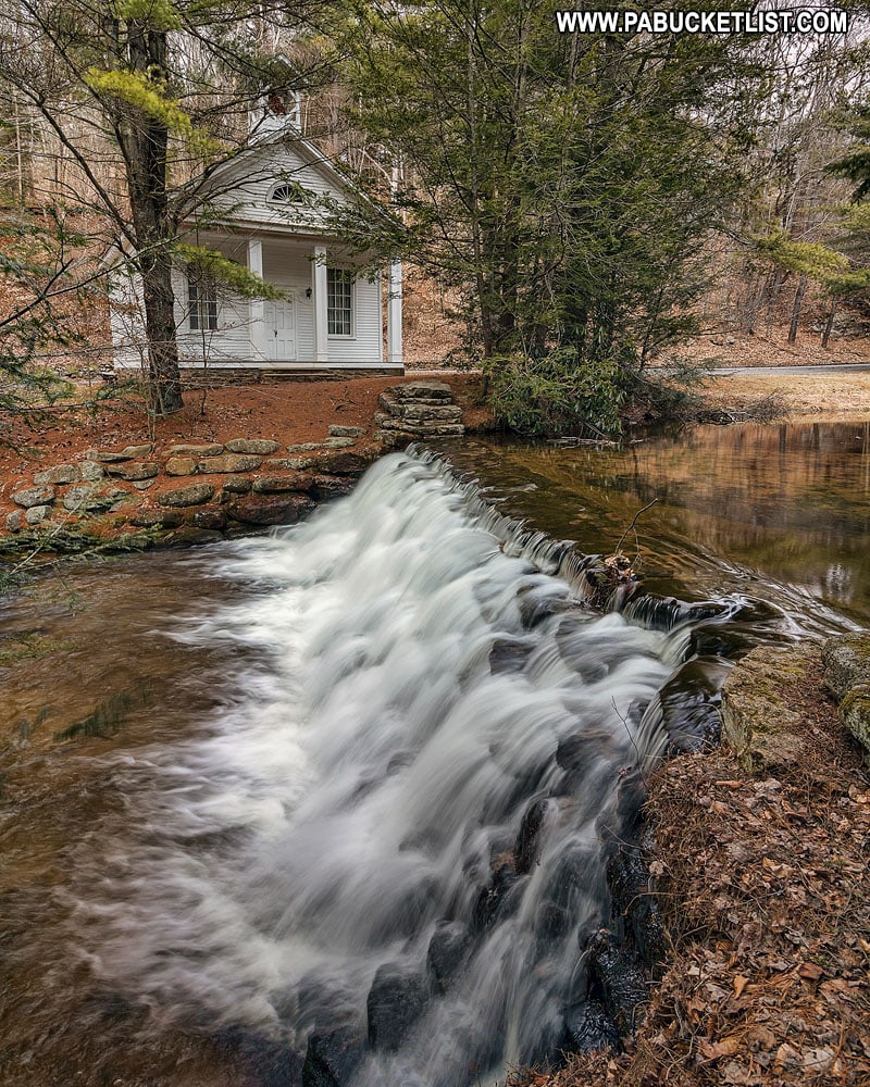
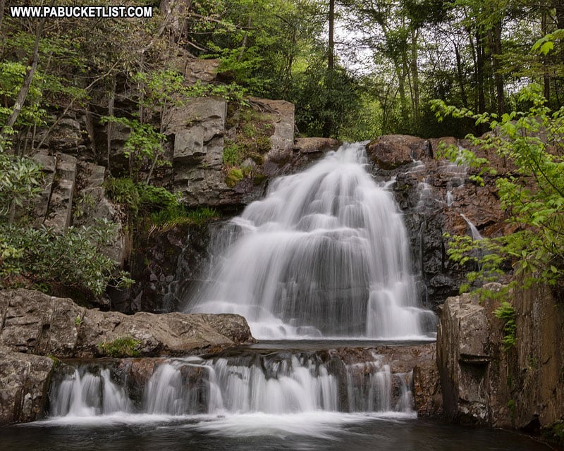
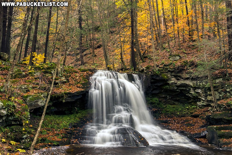
One of the most popular attractions at Hickory Run State Park is Hawk Falls along Hawk Run.
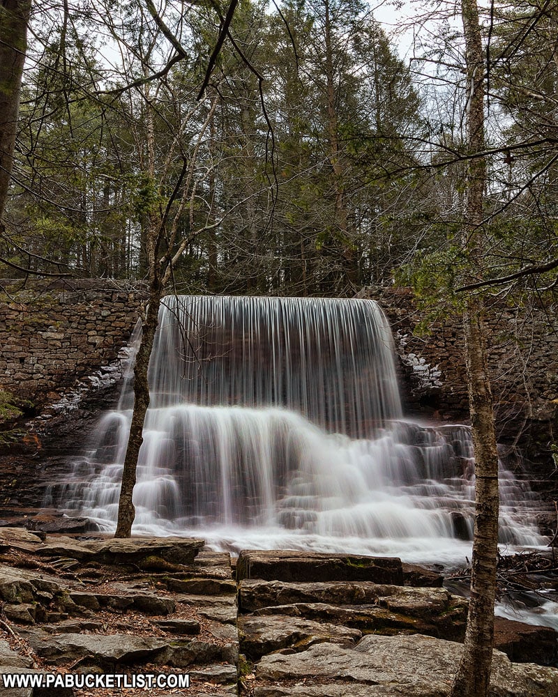
Stametz Dam along the ominous-sounding but relatively tame Shades of Death Trail is another popular hiking spot at Hickory Run State Park.
Tobyhanna Falls
Tobyhanna Falls literally backs to Interstate 80 at the Blakeslee exit in Monroe County.
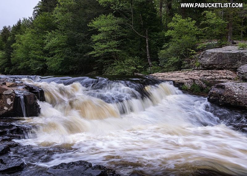
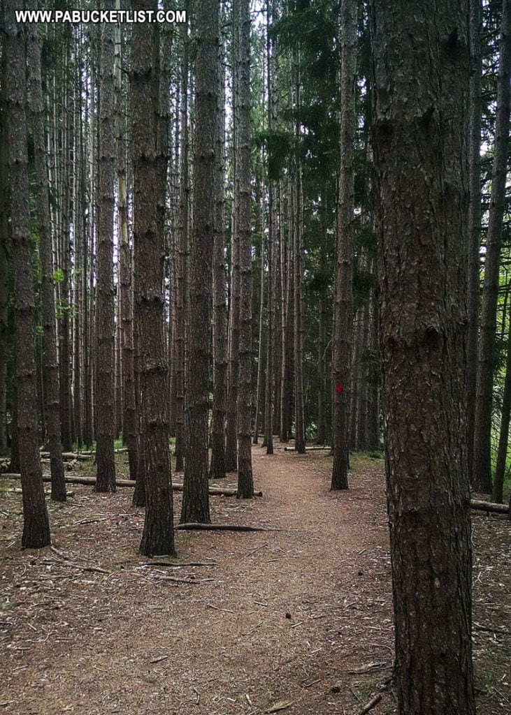
A 0.4 mile trail (one-way) takes you from a parking area along Route 115 to Tobyhanna Falls in the Austin T. Blakeslee Natural Area.
Delaware Water Gap National Recreation Area
At the extreme eastern end of Interstate 80 in Pennsylvania, the Delaware Water Gap National Recreation Area is home to an abundance of waterfalls, including the 2 tallest waterfalls in Pennsylvania.
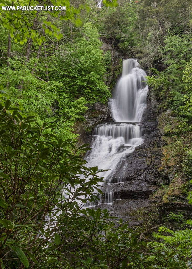
Raymondskill Falls, at 178 feet tall, is billed by the National Park Service as “the tallest waterfall in Pennsylvania“.
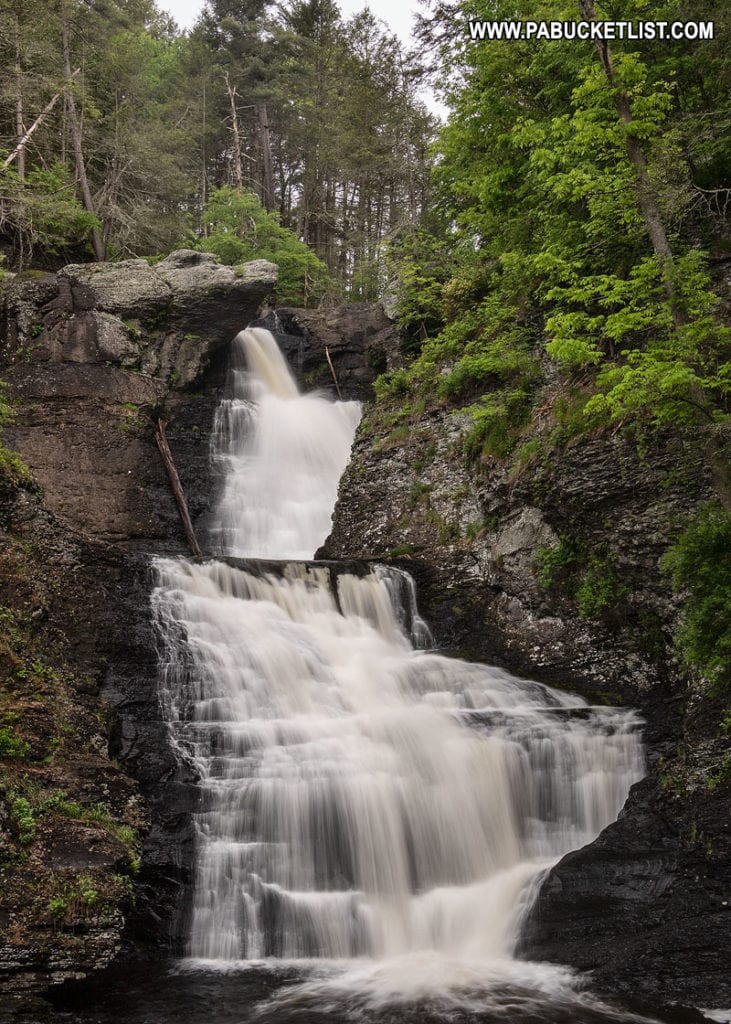
Dingmans Falls, billed as the second tallest waterfall Pennsylvania at 130 feet, is located just minutes from Raymondskill Falls.
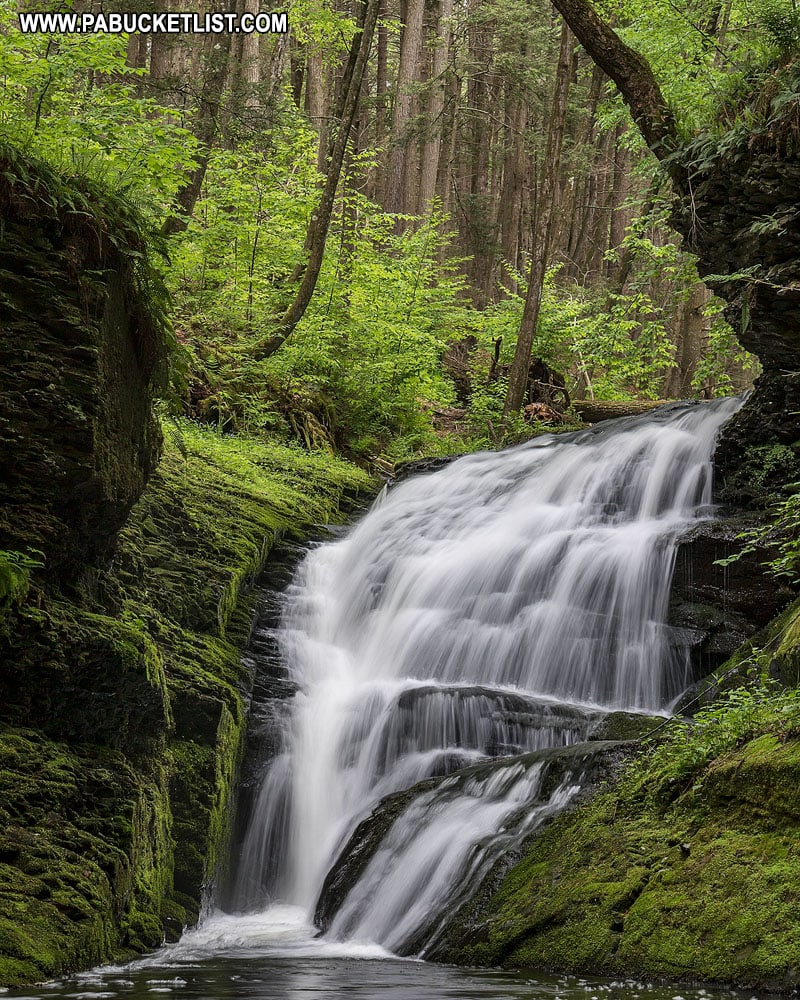
Upper Hornbecks Creek in the Delaware Water Gap is home to numerous unnamed but spectacular waterfalls as well.
So there you have it – 14 roadside attractions near Interstate 80 in Pennsylvania, all worth exiting the highway for a closer look!
Looking for more road trip ideas?
Be sure to check out 35 Must-See Roadside Waterfalls in Pennsylvania to plot a course to some of the Keystone State’s best and easiest-to-reach waterfalls.
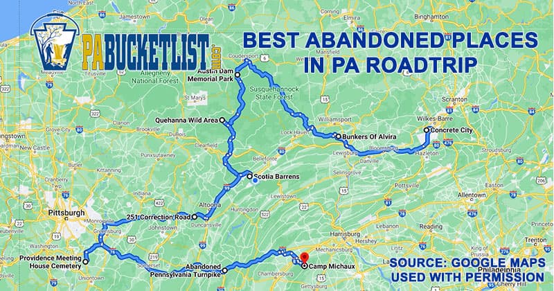
Road Tripping to the Best Abandoned Places in PA is a 379 mile route I came up with that takes you to seven of Pennsylvania’s most intriguing abandoned places.
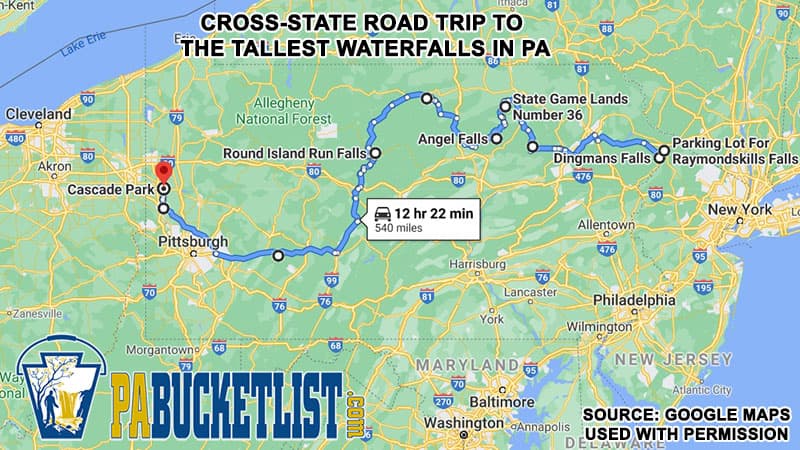
Road Tripping to the Tallest Waterfalls in PA follows is an east-west route I came up with that will take you to some of the tallest waterfalls in each region of Pennsylvania!
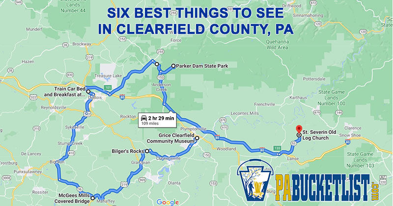
The Ultimate Clearfield County Road Trip maps out a 109 mile adventure to see the best natural and man-made attractions in Clearfield County!
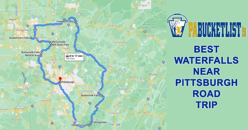
The Best Waterfalls Near Pittsburgh Road Trip is a358 mile round-trip adventure of a lifetime!
Did you enjoy this article?
If so, be sure to like and follow PA Bucket List on Facebook, Instagram, and/or Pinterest to stay up-to-date on my latest write-ups about the best things to see and do in Pennsylvania.
Click on any of the icons below to get connected to PA Bucket List on social media!


